


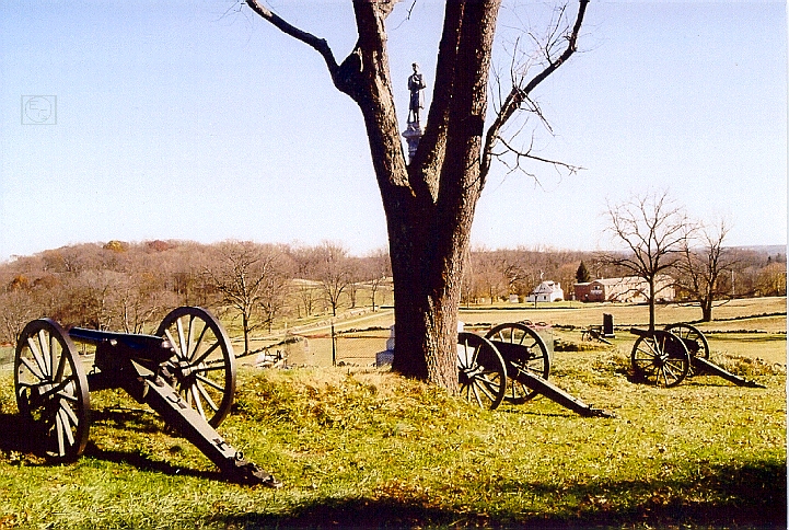
Garry Adelman, along with Barry Martin and Tom Danninger (not shown in this view) created the CD, The Gettysburg Park Commission Photos: Then & Now. Garry is on the south side of Little Round Top in the area where the 15th Alabama was battling the 20th Maine on July 2, 1863. This view was taken facing northeast at approximately 2:45 PM on Sunday, March 21, 2010.
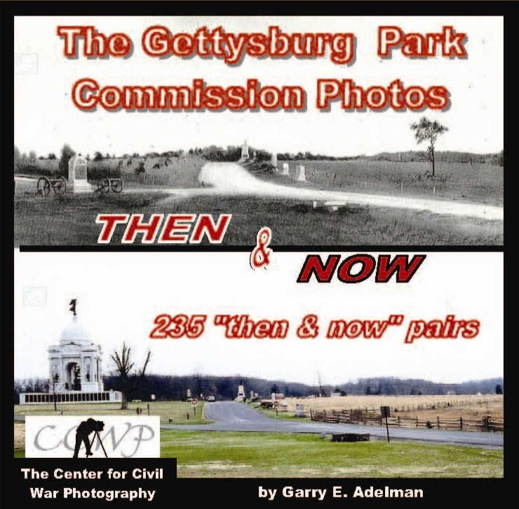
Gettysburg Licensed Battlefield Guide Garry Adelman, along with colleagues Tom Danninger and Barry Martin, systematically located the camera positions of the 237 photographs included in the Annual Reports of the Gettysburg National Military Park Commission, 1893-1904. The trio arranged the photos into seventeen sections and present the images in a “then & now” format along with a history of the project and the Park Commission on their CD, The Gettysburg Park Commission Photos: Then & Now. We continue their series with a sampling from each of the seventeen sections.
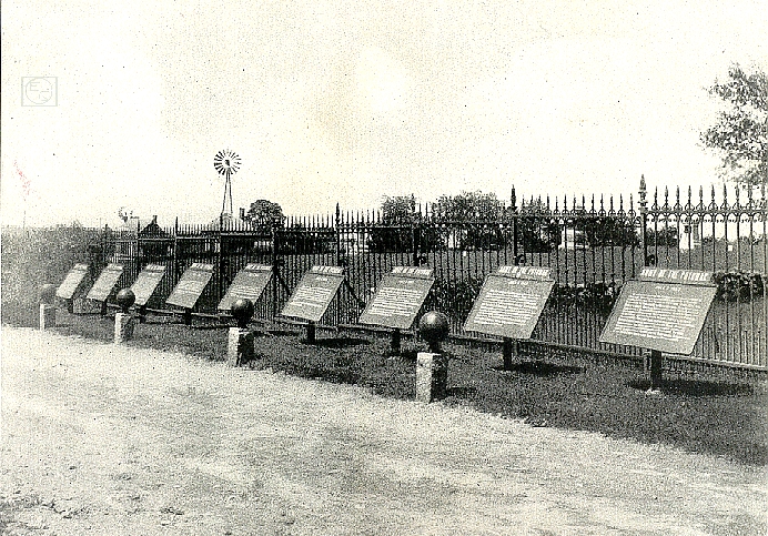
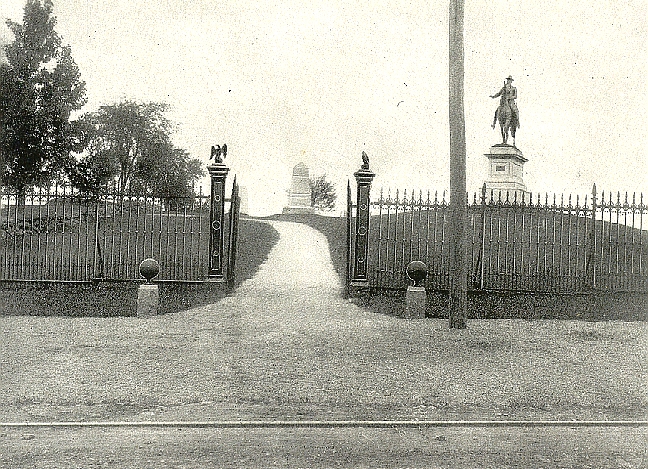
The Gettysburg National Park Commission (GNPC) issued annual reports from its creation in 1893 until stewardship was transferred to the National Park Service in 1933. The reports, issued each November, covering that year through October, outlined the work of the GNPC for that year. Reports from 1893-1904 were bound into one volume with the photographs that accompanied each report (a practice started with the 1895 report) printed en masse after the text. Together, these images provide a comprehensive view of the battlefield and the Commission’s work available nowhere else. Comparing the images to the same sites today speaks to the important issues of preservation, commercialization, monumentation, and the growth of the GNMP. It’s also simply “cool” to look at then & now photos!
In our first post we looked at photgraphs taken on West McPherson’s Ridge.
In our second post we showed photographs taken on East McPherson’s Ridge.
In our third Then and Now post, we showed Howard Avenue and monuments for the Army of the Potomac’s Eleventh Corps.
In our fourth post we continued showing Then and Now photographs on Howard Avenue, this time on Barlow’s Knoll.
In our fifth post we show photographs taken for the Gettysburg National Park Commission along Oak Ridge/Seminary Ridge.
In our sixth Then and Now post we showed photographs of the July 1st battlefield along Forney’s Ridge, and where the east arm of McPherson’s Ridge ends near Oak Ridge.
In our seventh post of Gettysburg Then and Now photographs, Garry, Barry, and Tom presented photographs taken in Evergreen Cemetery and the Soldiers National Cemetery.
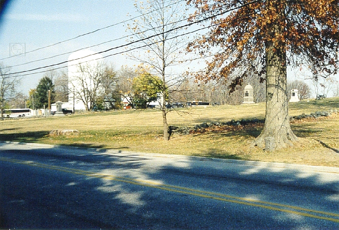
In today’s Gettysburg Then and Now post, Garry Adelman, Barry Martin, and Tom Danninger present photographs on East Cemetery Hill.
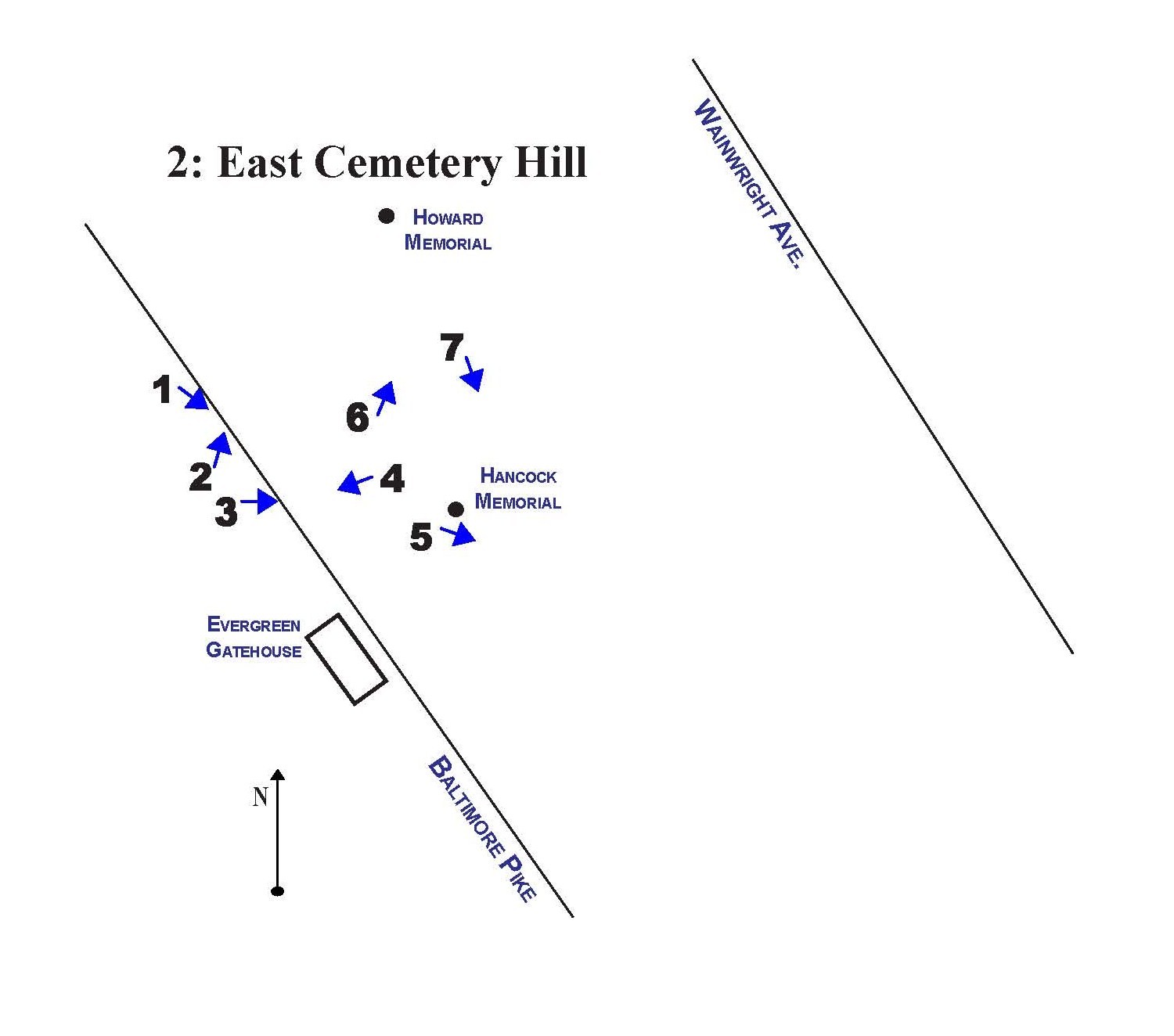
This map, from the Gettysburg Park Commission Photos Then and Now CD, shows us the locations for the Then and Now photographs. In today’s post we show photographs taken on East Cemetery Hill.


To see other posts by Gettysburg Licensed Battlefield Guides, click here.