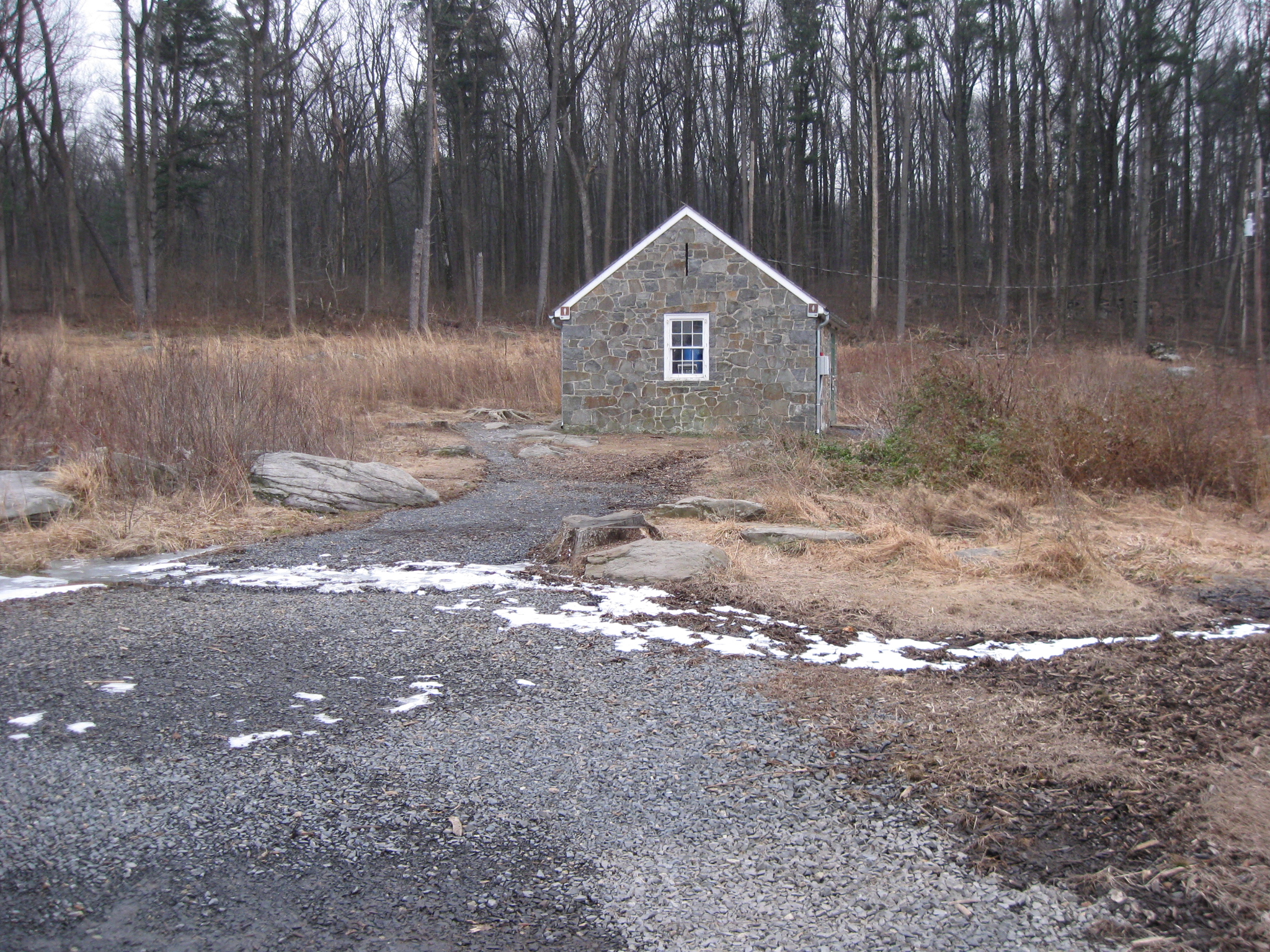
The Devil’s Den Restroom, located in the area known as the “Slaughter Pen,” is scheduled to be removed this “spring.” We took some shots of the restroom from various angles to keep it forever in our memories. Devils Den is in the background. The remaining Devil’s Den Witness tree is shown directly over the restroom. This view was taken facing southwest at approximately 4:45 PM on Tuesday, February 2, 2010.
See our previous post on the Devil’s Den Restroom on September 5, 2009.
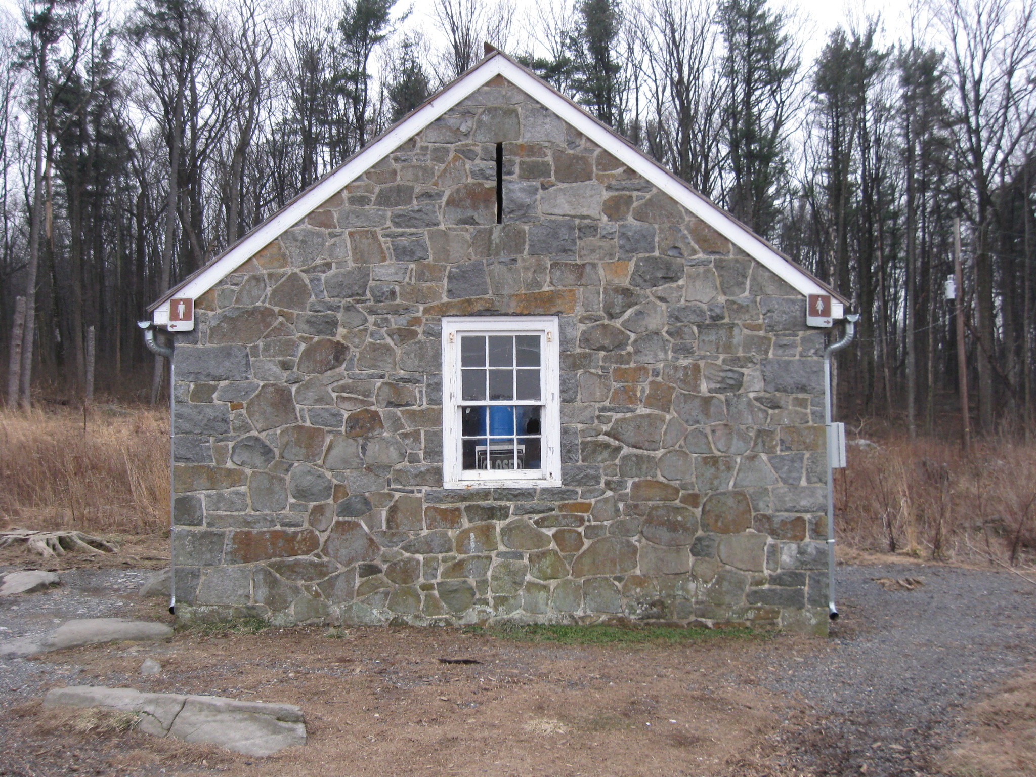
We’ll walk along the top of the rocks of Devil’s Den taking pictures of the restroom, before we stoop to its level. Here are the four prominent “Ps” in the Devil’s Den area. The large rock on the left contains the Pink Panther Profile rock. The Devil’s Den restroom is to the right of the rock. Pink Panther Profile left, Potty right. This view was taken facing southeast at approximately 4:45 PM on Tuesday, February 2, 2010.
If the restroom is removed, some of the Licensed Battlefield Guides will no longer be able to use some of their best “material,” or, uh, attempt to seamlessly weave this structure into their story of the battle. This view was taken facing east at approximately 4:45 PM on Tuesday, February 2, 2010.
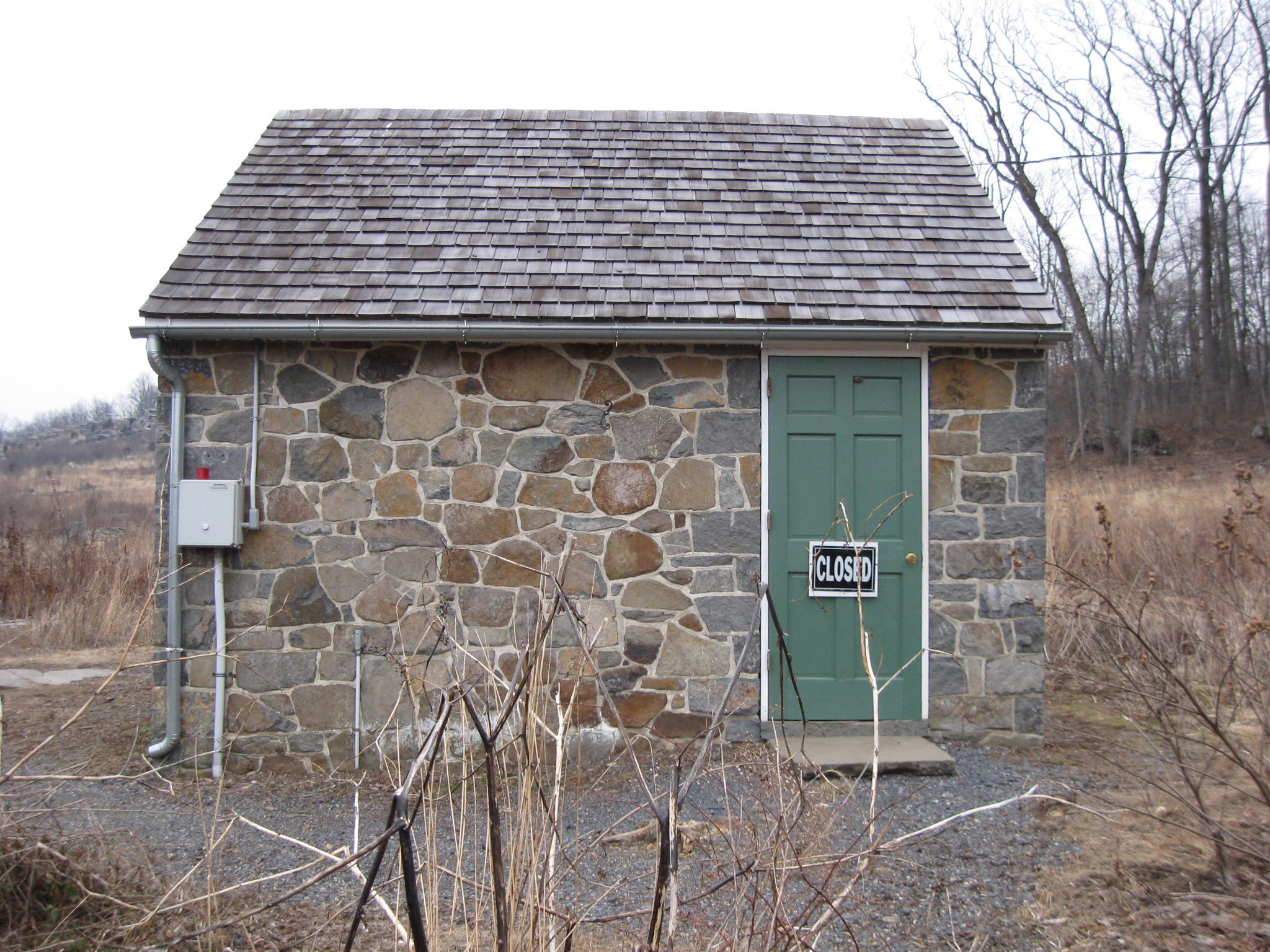
Visitor: “What building is that?” Answer with a straight face, staring straight ahead, and without any other comment as they drive up to Little Round Top: “The Crapper Farm.” This view was taken facing southeast at approximately 4:45 PM on Tuesday, February 2, 2010.
Visitor in line waiting at the restroom: “It sure is crowded here.” Answer: “You should have seen the line waiting to get into this place on July 2, 1863.” This view was taken facing east at approximately 4:45 PM on Tuesday, February 2, 2010.
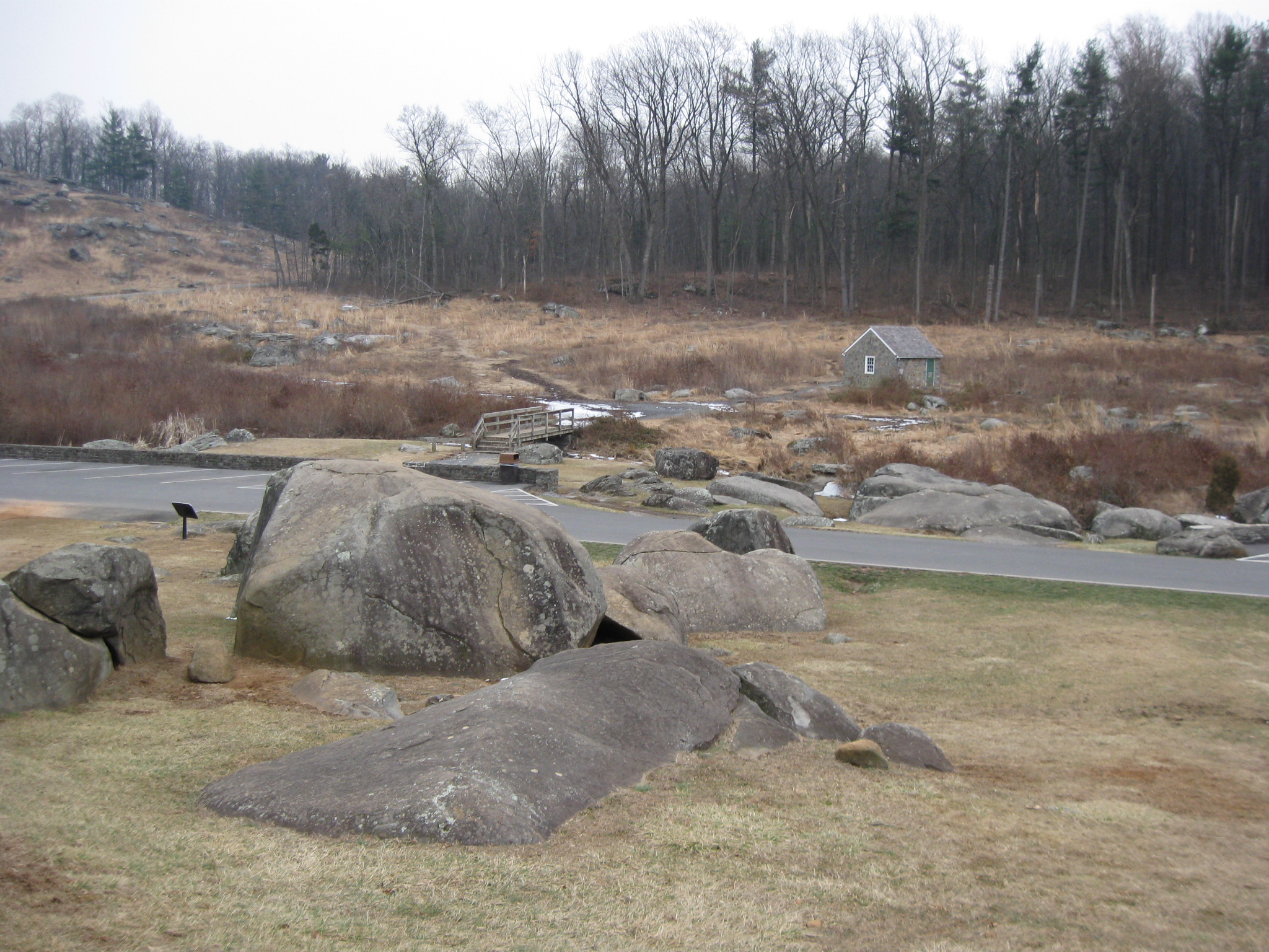
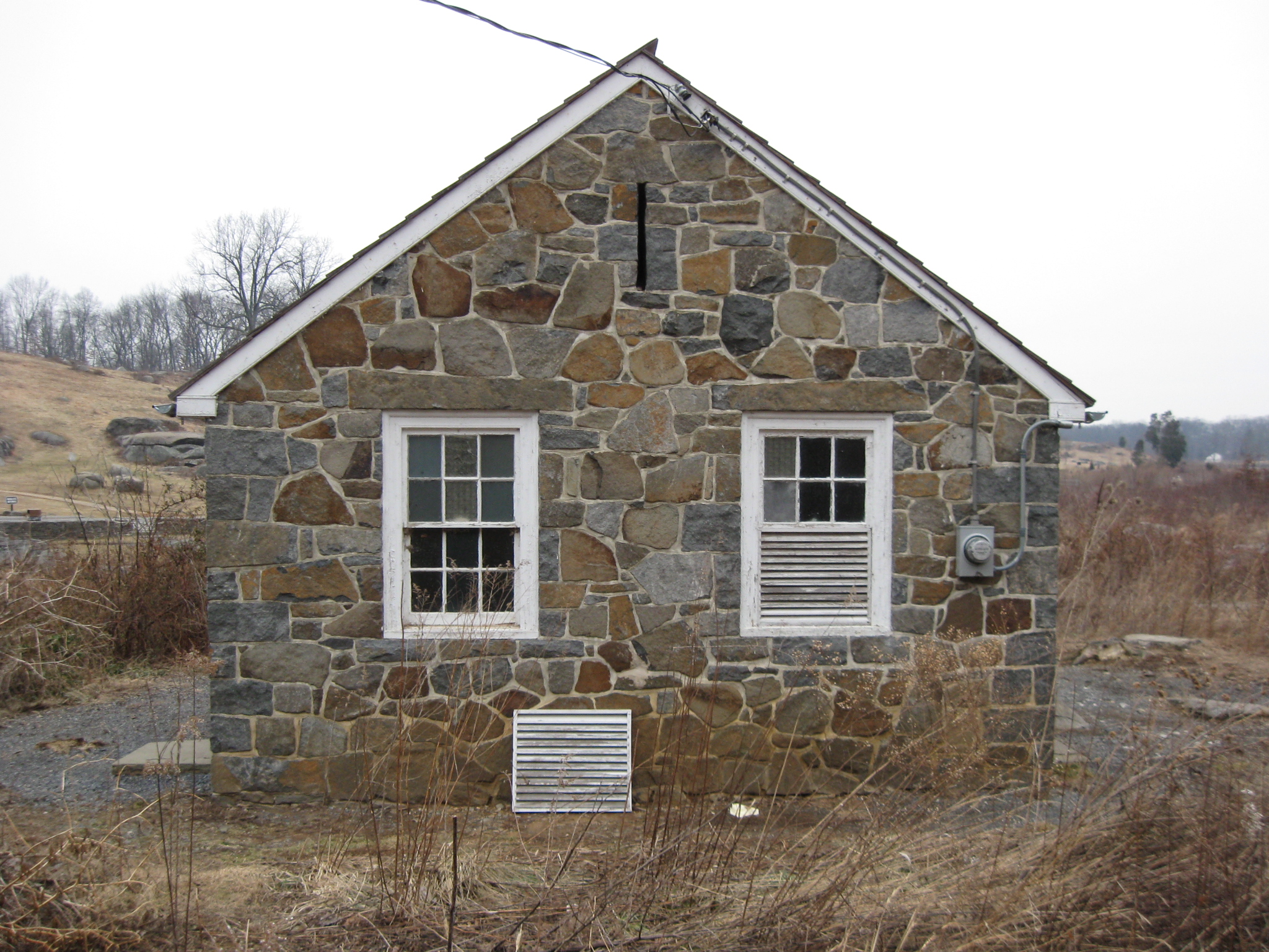
Ok, so the restroom’s removal will raise the quality of the historic landscape and of some guides’ tours. This view was taken facing northeast at approximately 4:45 PM on Tuesday, February 2, 2010.
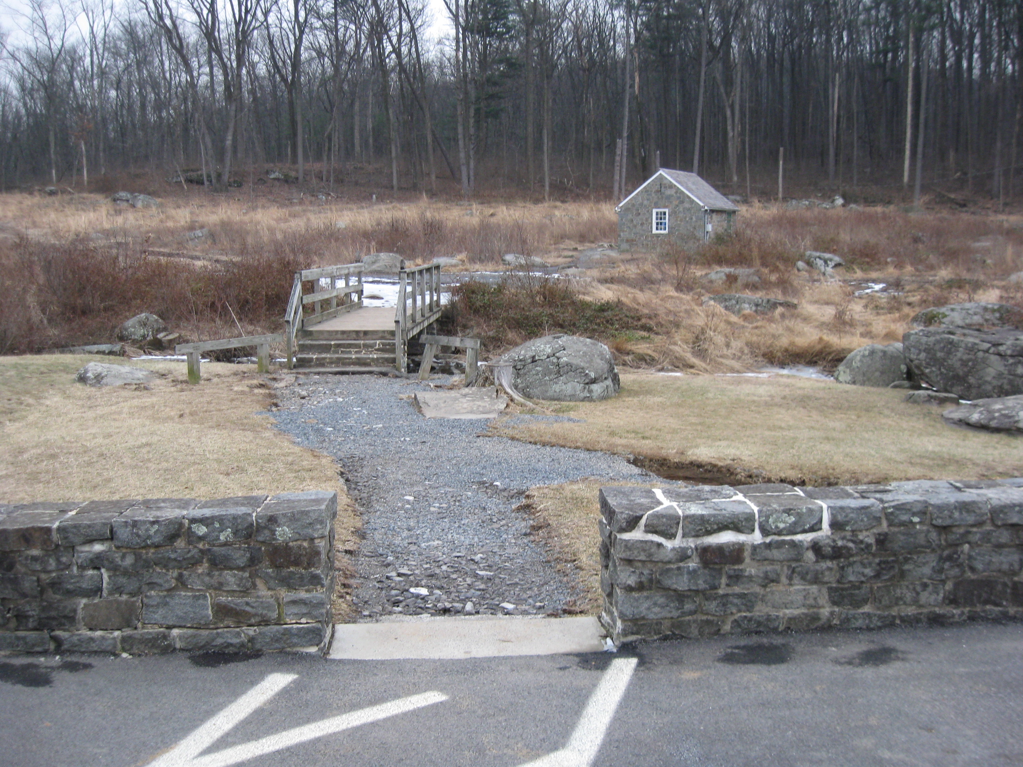
We’ve come from the top of the Devil’s Den Rocks, and will now attempt to artistically frame this structure into our shots, showing future generations what they will miss without this building’s presence. This view was taken facing east at approximately 4:45 PM on Tuesday, February 2, 2010.
Ooh. Aah. This view was taken facing east at approximately 4:45 PM on Tuesday, February 2, 2010.
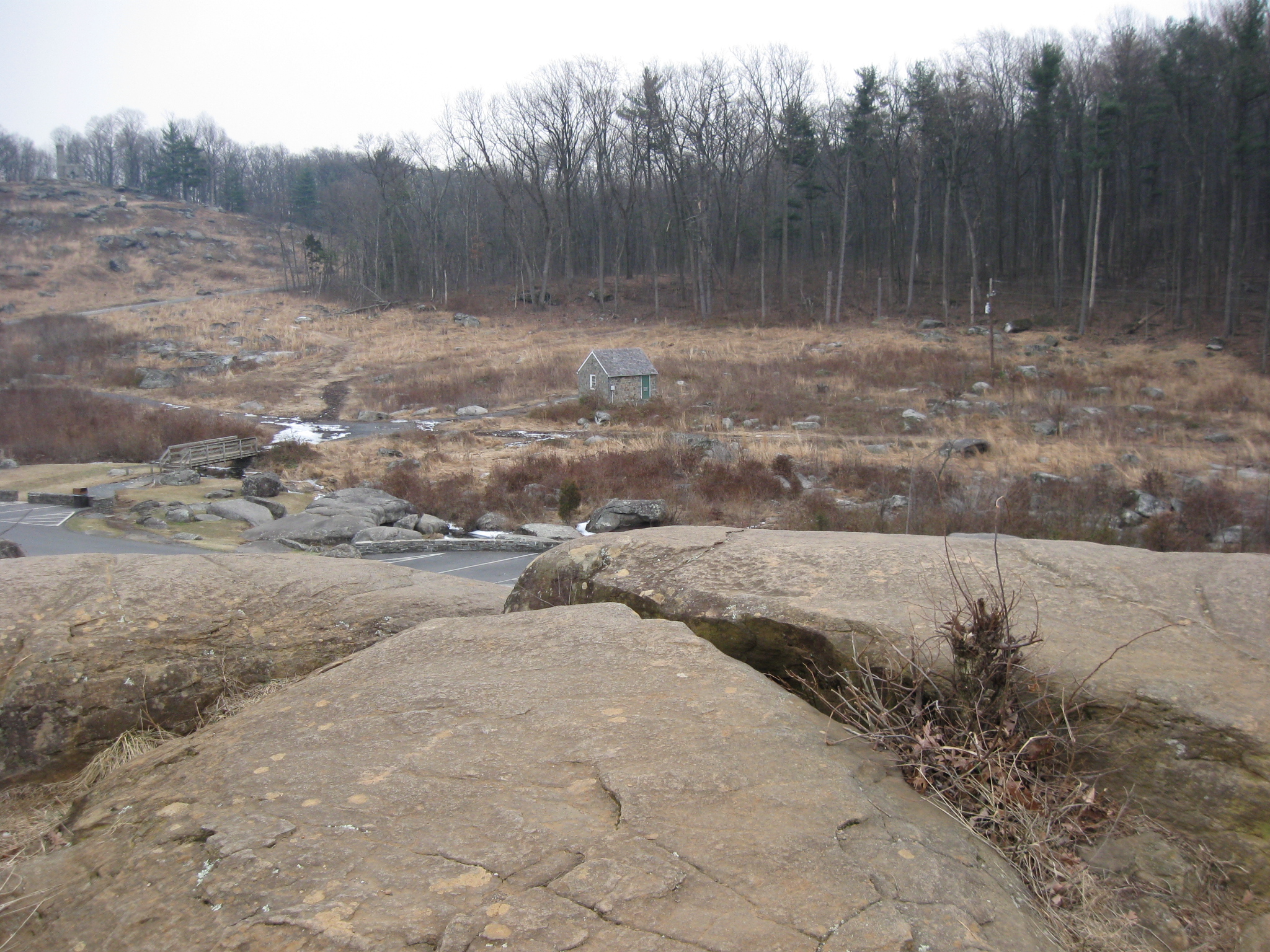
This view was taken facing southeast at approximately 4:45 PM on Tuesday, February 2, 2010.
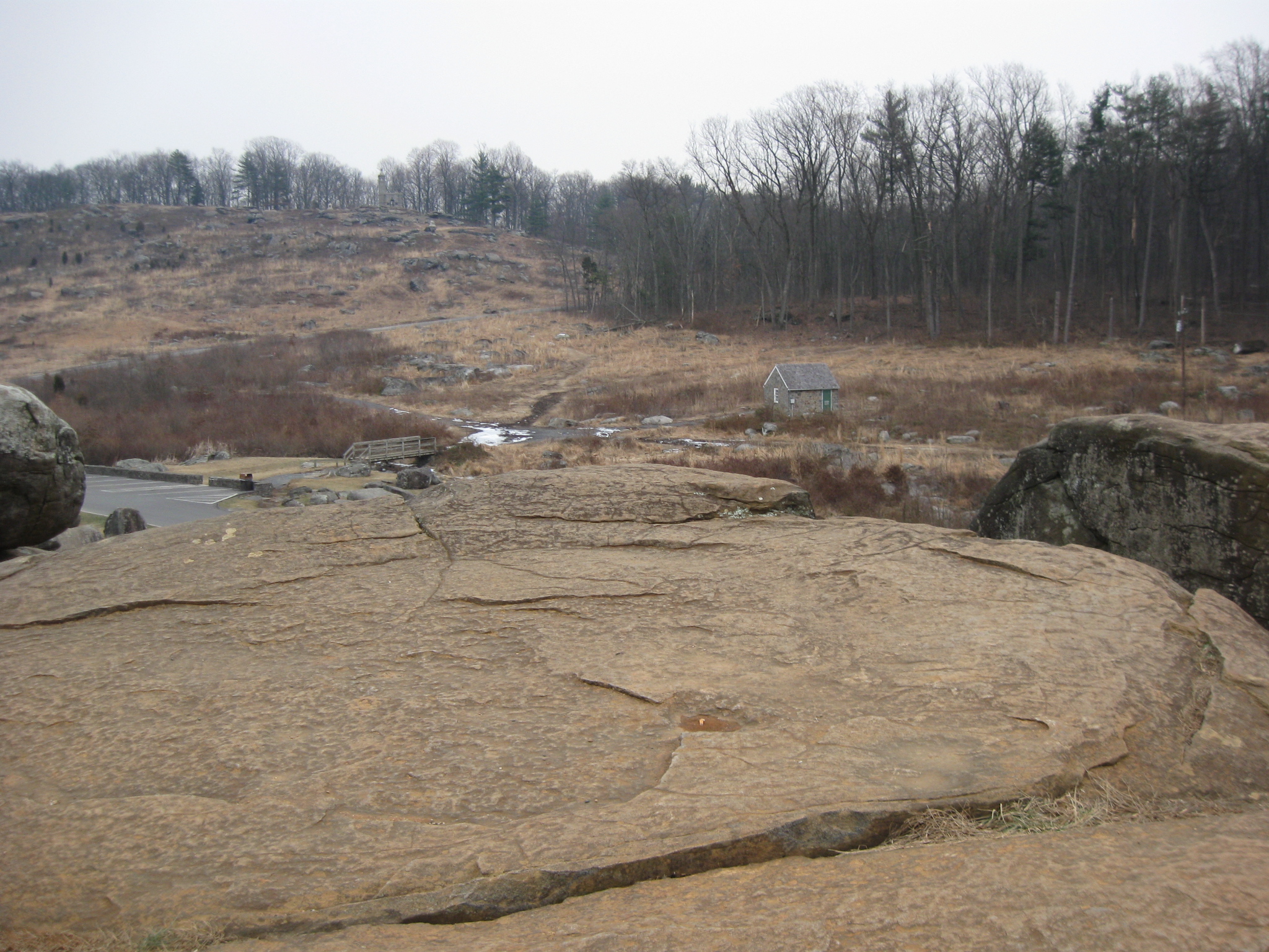
The trees in the background are at the foot of Big Round Top. This view was taken facing southeast at approximately 4:45 PM on Tuesday, February 2, 2010.
This view was taken facing southeast at approximately 4:45 PM on Tuesday, February 2, 2010.
It appears that someone has already started the removal process. This view was taken facing southeast at approximately 4:45 PM on Tuesday, February 2, 2010.
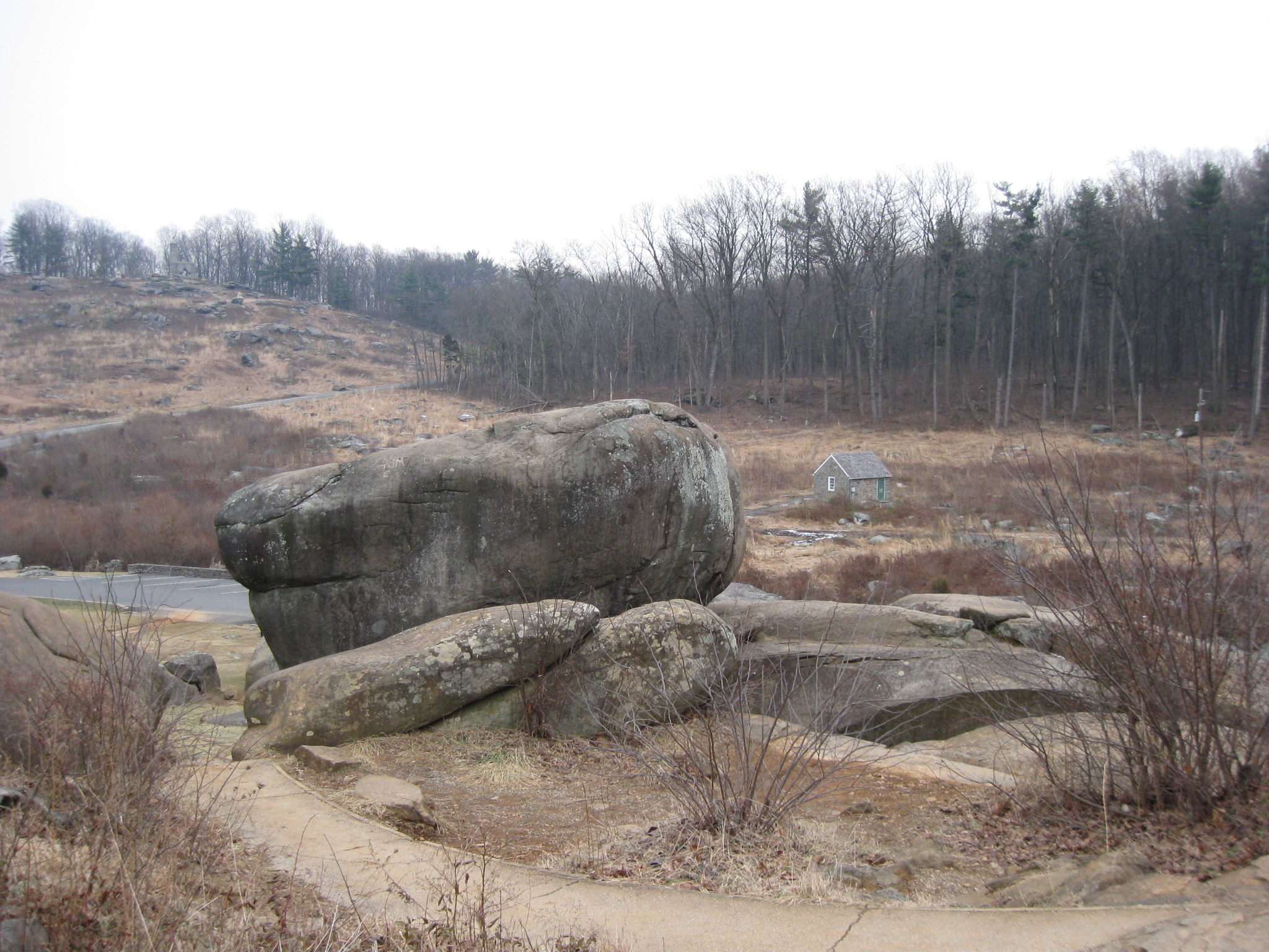
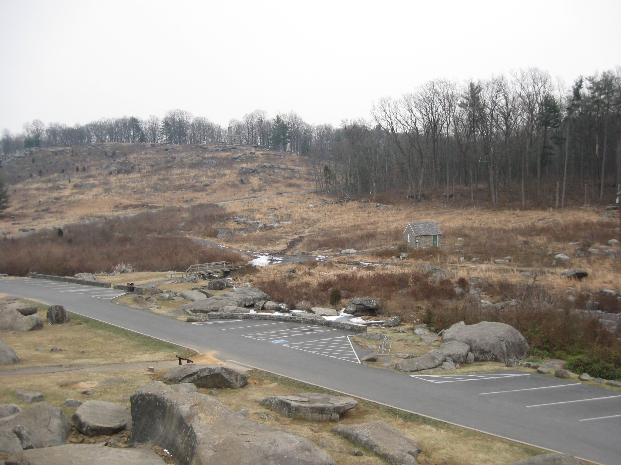
The big rocks at Devils Den are in the right background. This view was taken facing southwest at approximately 4:45 PM on Tuesday, February 2, 2010.
This view was taken facing northwest at approximately 4:45 PM on Tuesday, February 2, 2010.
This view was taken facing northeast at approximately 4:45 PM on Tuesday, February 2, 2010.
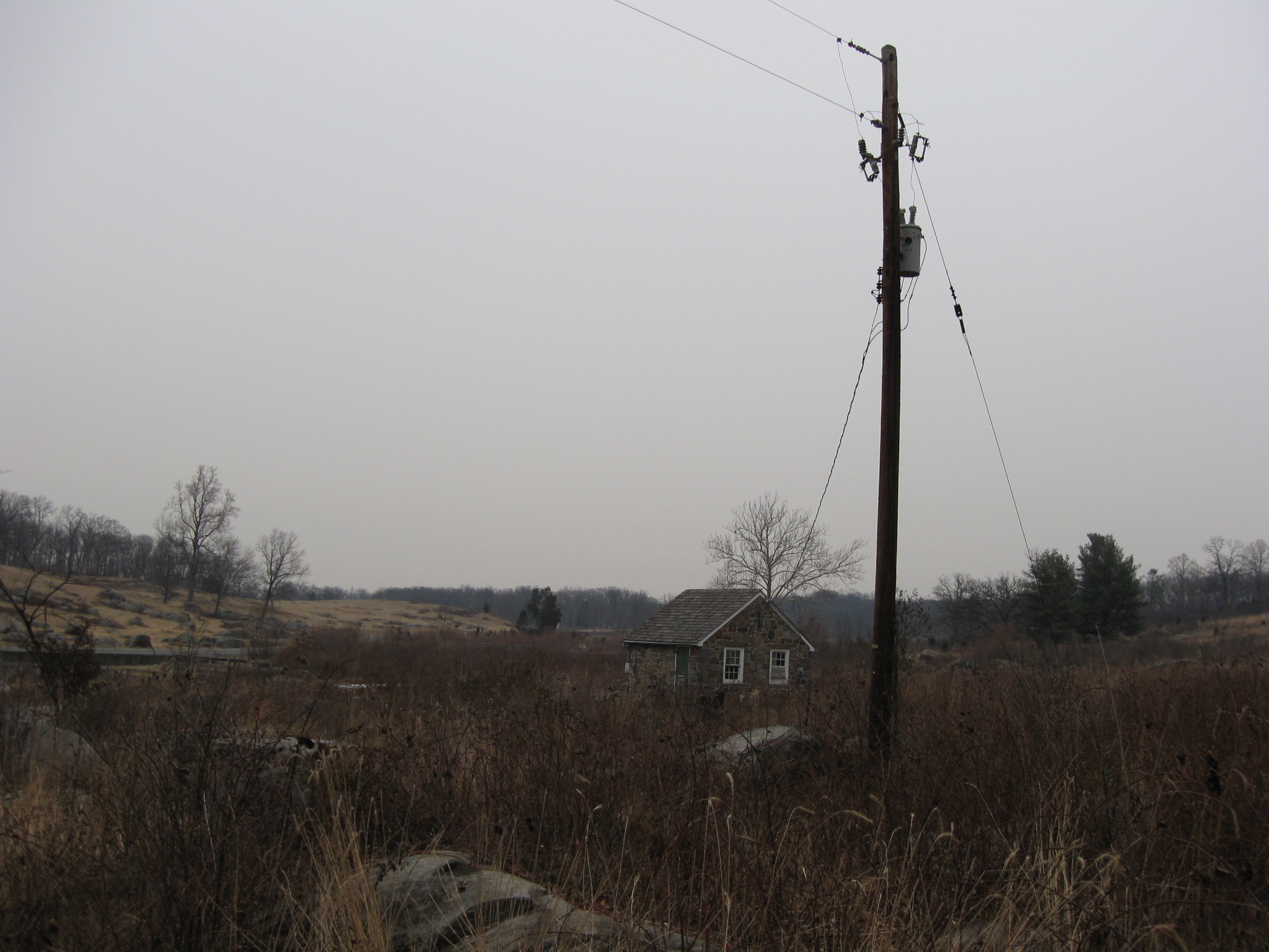
Devil’s Den is in the background. This view was taken facing southwest at approximately 4:45 PM on Tuesday, February 2, 2010.
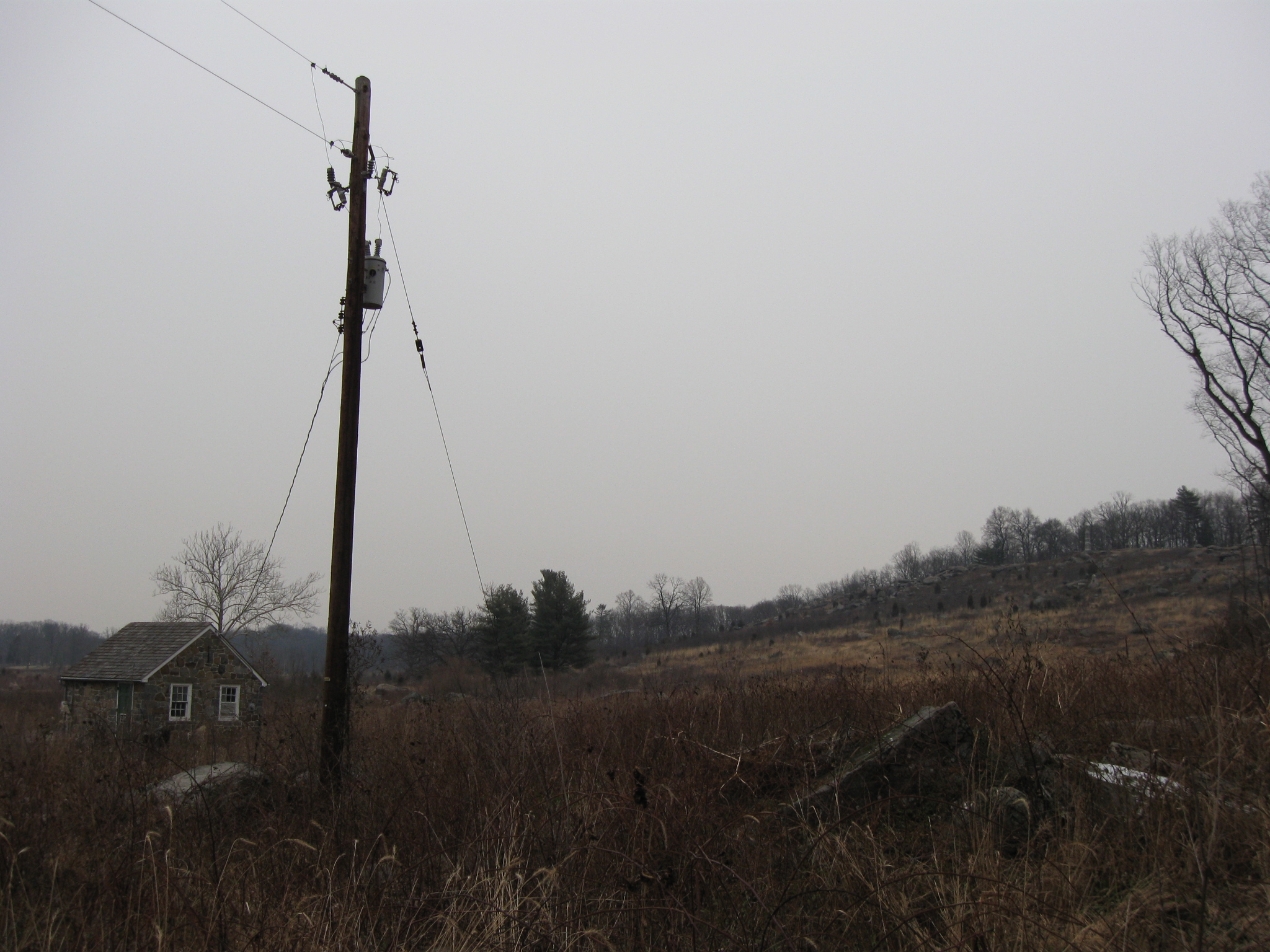
This view was taken facing southwest at approximately 4:45 PM on Tuesday, February 2, 2010.
The Slyder Farm is the small white object in the right background, and Warfield Ridge is above the Slyder Farm. The Confederates attacked towards the camera on July 2, 1863. This view was taken facing southwest at approximately 4:45 PM on Tuesday, February 2, 2010.
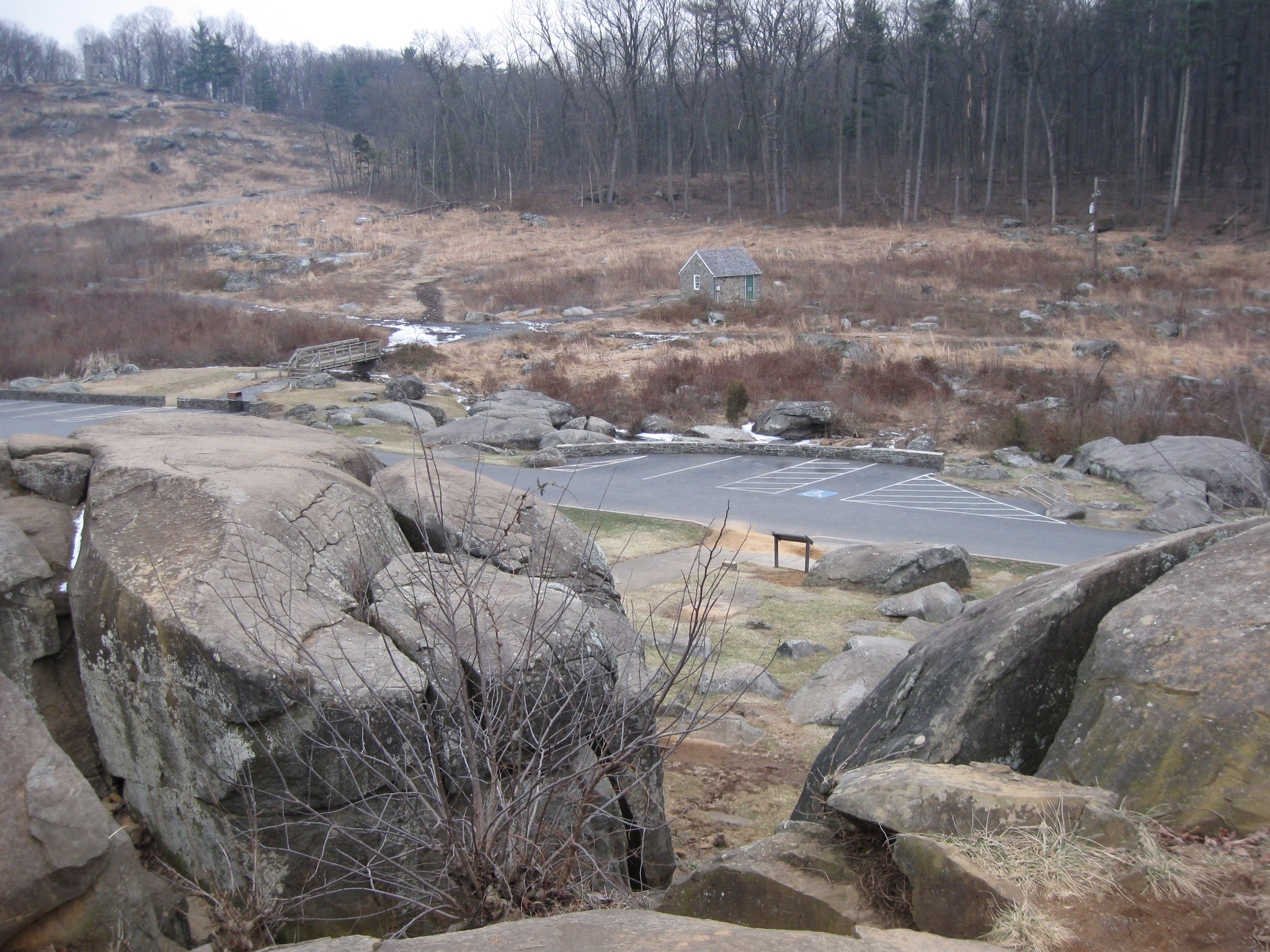
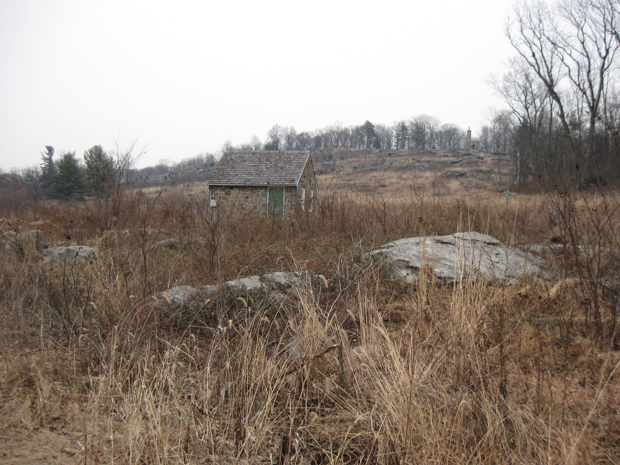
Little Round Top is in the background. This view was taken facing northeast at approximately 4:45 PM on Tuesday, February 2, 2010.
We’ll really miss scenes such as this. Houck’s Ridge is in the left background. This view was taken facing north at approximately 4:45 PM on Tuesday, February 2, 2010.
Little Round Top is in the right background. This view was taken facing northeast at approximately 4:45 PM on Tuesday, February 2, 2010.
See the following related construction posts:
Power Lines, Ground Disturbance, and the Inadequate Devils Den Restroom on September 5, 2009.
McMillan Woods Water Line Construction Part 2 on August 30, 2009.
McMillan Woods Water Line Construction Part 1 on August 29, 2009.
Horse Trail Construction Near South Confederate Avenue on August 14, 2009.
“We Don’t Think the Park Service Wants You to Take Pictures Here on May 13, 2009.
And the Nomination for Most Thorough Burying of a Flank Marker Goes to… on November 14, 2008. Patterson Farm Tree Cutting and the left flank marker of Knap’s Pennsylvania Battery thrown in a pile behind the NPS Maintenance Buildings on November 9, 2008.
National Park Service Does Move Flank Markers on October 23, 2008.
National Park Service decision not to move the Reynolds Avenue flank markers on October 22, 2008.
“Do the Flank Markers on Reynolds Avenue Need to be Moved?” on October 16, 2008.
Dirt and Gravel Return to the Flank Markers on October 15, 2008.
Dirt and Gravel Removed from the Flank Markers on October 10, 2008.
Dirt and Gravel Burying the Flank Markers on October 9, 2008.
Doubleday Avenue Roadwork on October 1, 2008.
Asphalt Touches the Flank Marker of the 147th New York on September 30, 2008.
Contractors trying to cover up their mistake of having asphalt touch boulders in The Loop on September 22, 2008.
Slathering the Loop With Asphalt on September 13, 2008.
Devil’s Den: Aftermath of the Construction on September 11, 2008.