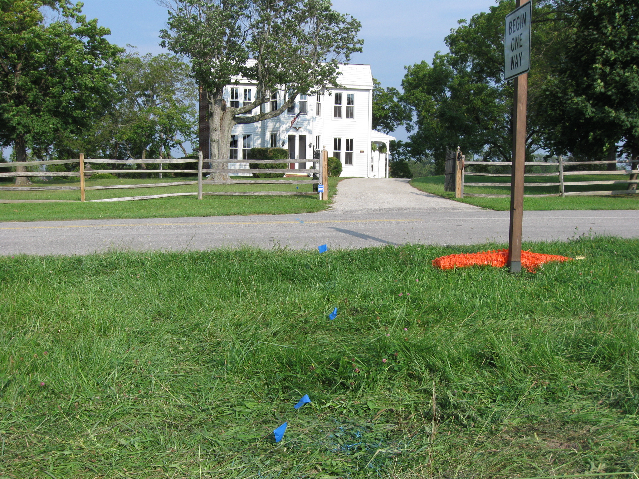
A water line is being constructed to the Boy Scout Area/Horse Trail Area at the McMillan Woods Campground. The construction of this simple water line looks to be quite the project. This view was taken facing south at approximately 5:00 PM on Wednesday, August 26, 2009.
A water line is being constructed on Seminary Ridge west of West Confederate Avenue for $395,000. (National Park Service spokesperson Katie Lawhon later e-mailed us: “I had previously stated that it was a $395,000 project. That was just the initial project cost estimate and it is no longer an accurate number… The actual cost of the project is $281,247.” Therefore, the figures we quote later in the posts about the waterline should be decreased accordingly.
The money is being provided by the American Recovery and Reinvestment Act, and is therefore, more “stimulus” money. One might think that the digging of the simple water line, should disturb the ground by a width of a foot or so. However, the ground is being altered in a 40 foot swath along West Confederate Avenue. The project is due to be finished this fall.
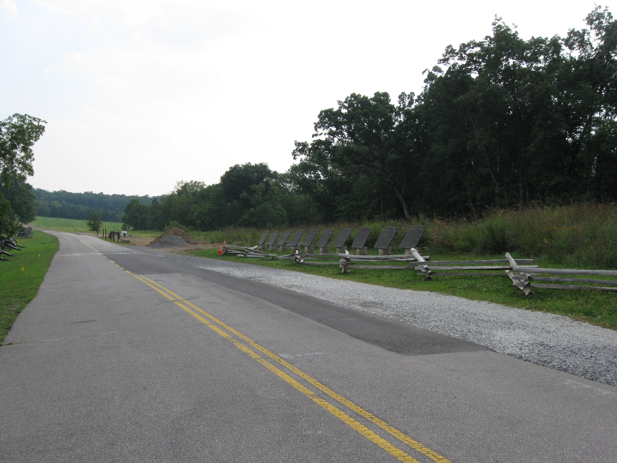
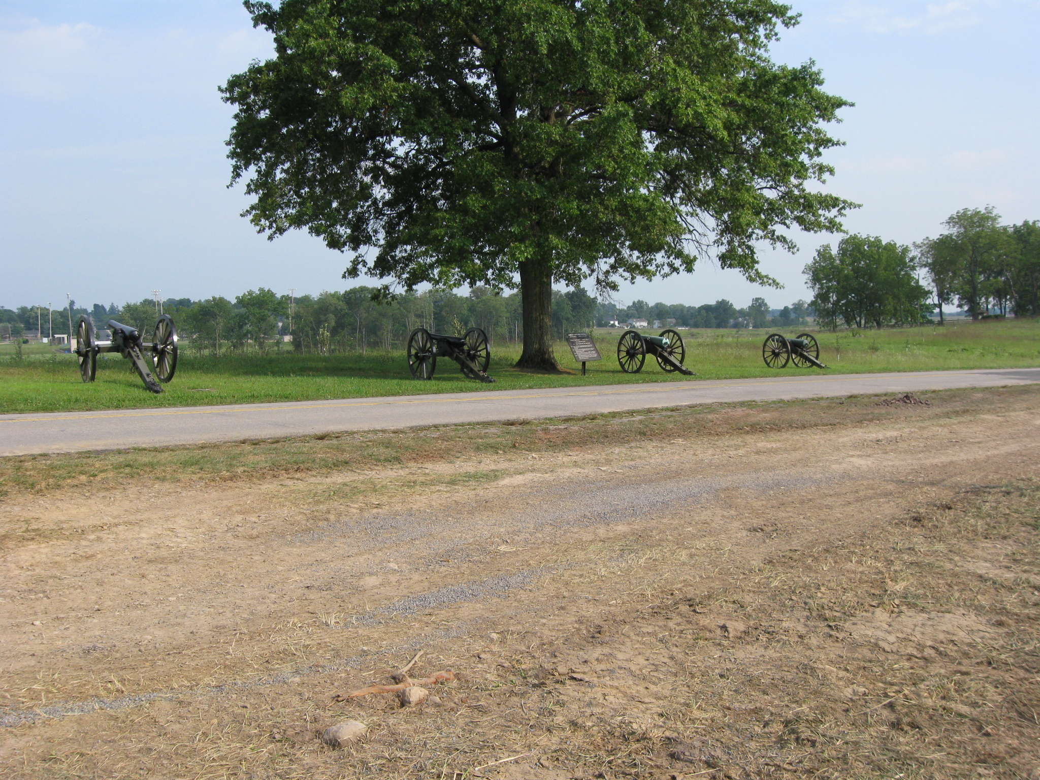
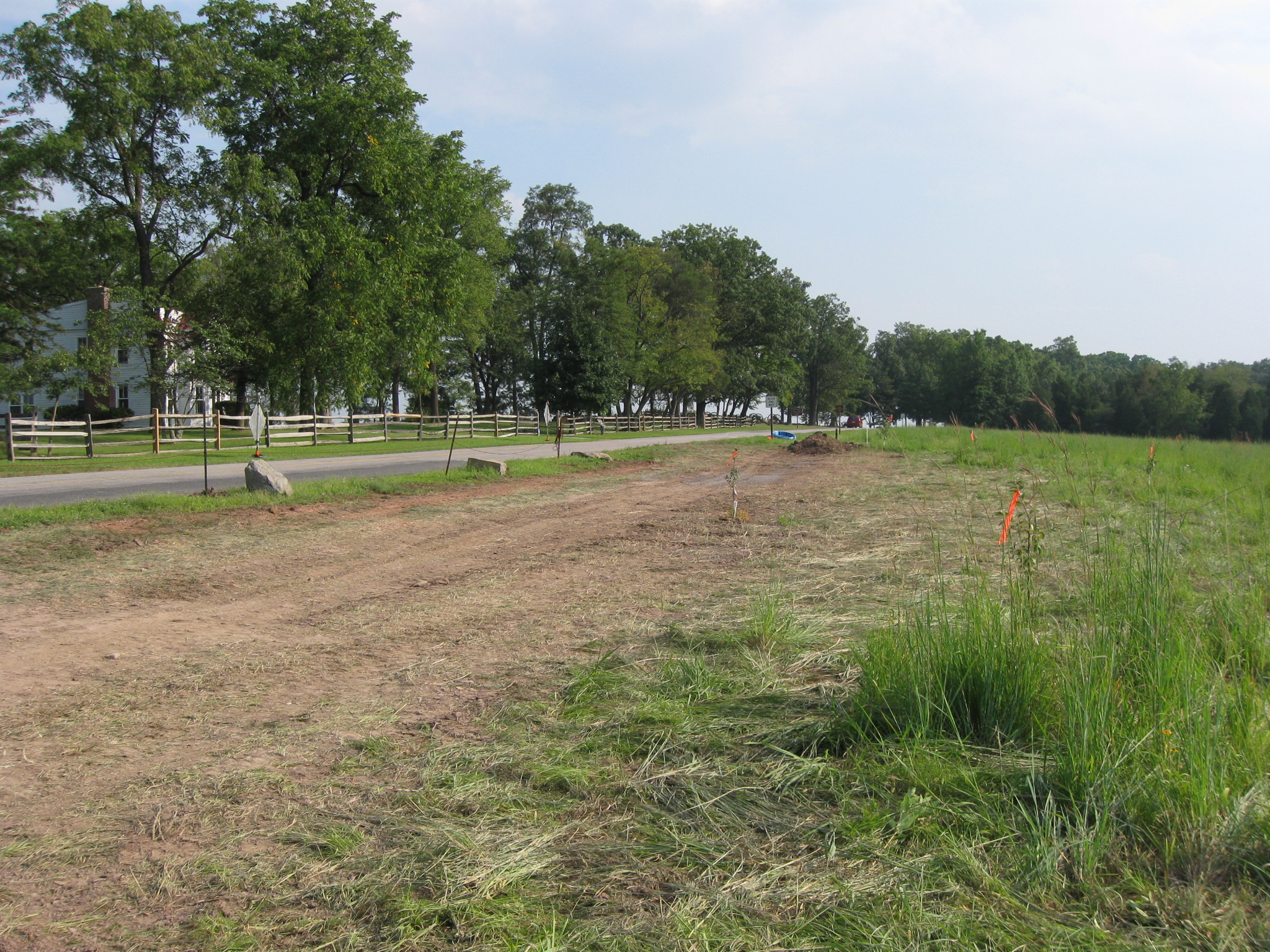
As one drives down West Confederate Avenue, new construction becomes noticeable. This view was taken facing south at approximately 5:00 PM on Wednesday, August 26, 2009.
It begins on the right or west side of the avenue near the Army of Northern Virginia itinerary markers. This view was taken facing southwest at approximately 5:00 PM on Wednesday, August 26, 2009.
On the east side of the road, a gas line is being installed… This view was taken facing south at approximately 5:00 PM on Wednesday, August 26, 2009.
…but we are going to concentrate on the west side of the road. This view was taken facing south at approximately 5:00 PM on Wednesday, August 26, 2009.
The ground is being dug up by the Kinsley Construction Company. Robert Kinsley is now the acting President of the Gettysburg Foundation. This view was taken facing south at approximately 5:00 PM on Wednesday, August 26, 2009.
The vehicles associated with this project will certainly change the ground in a larger area than one might expect with this simple project. This view was taken facing northeast at approximately 5:00 PM on Wednesday, August 26, 2009.
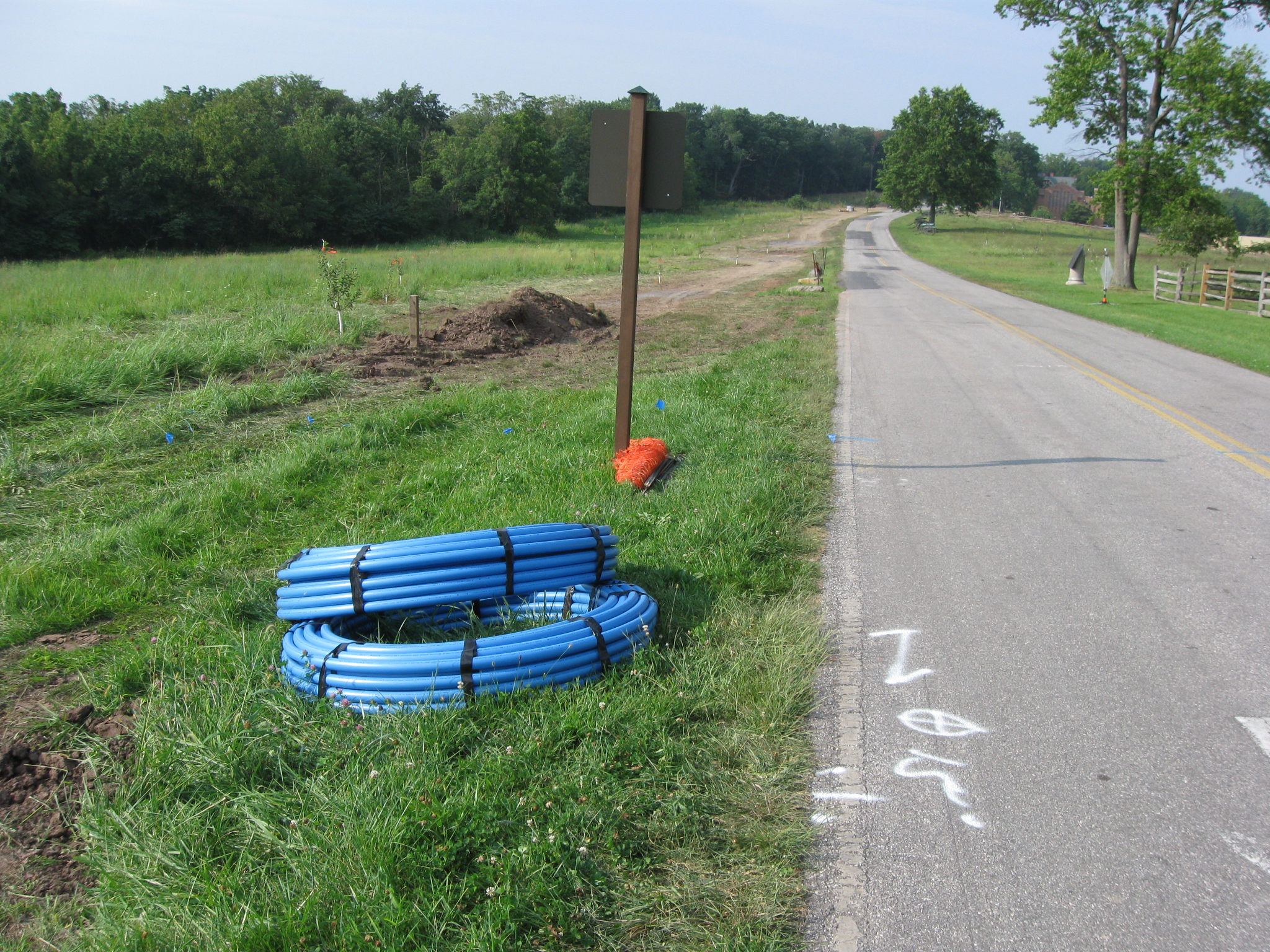
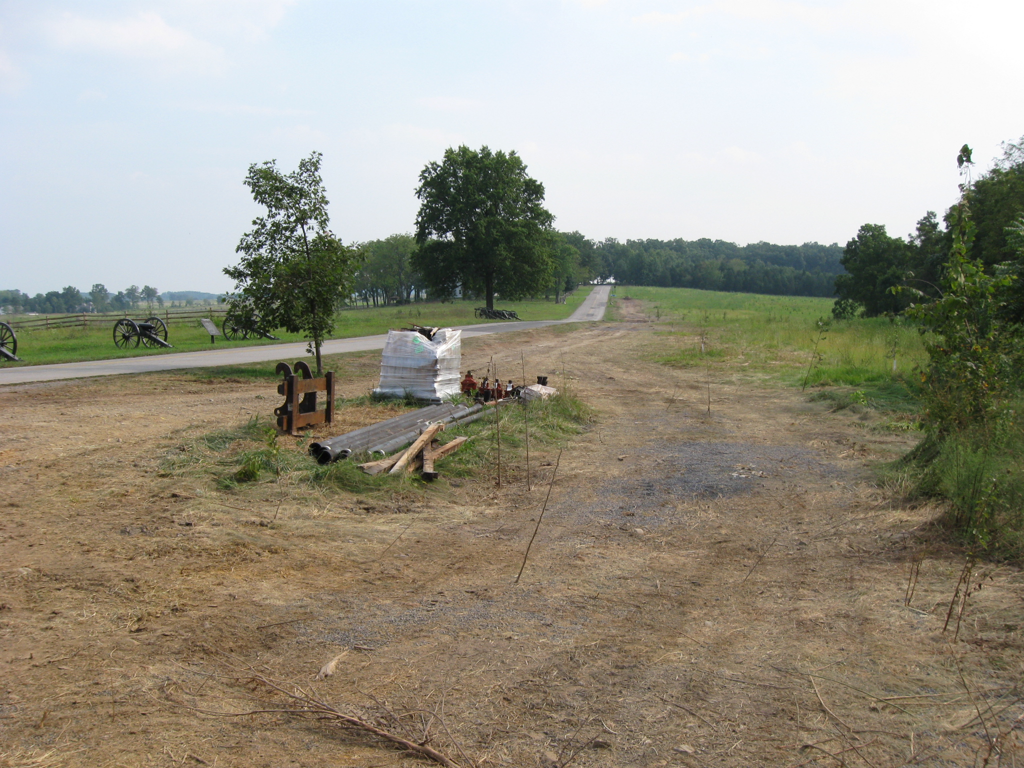
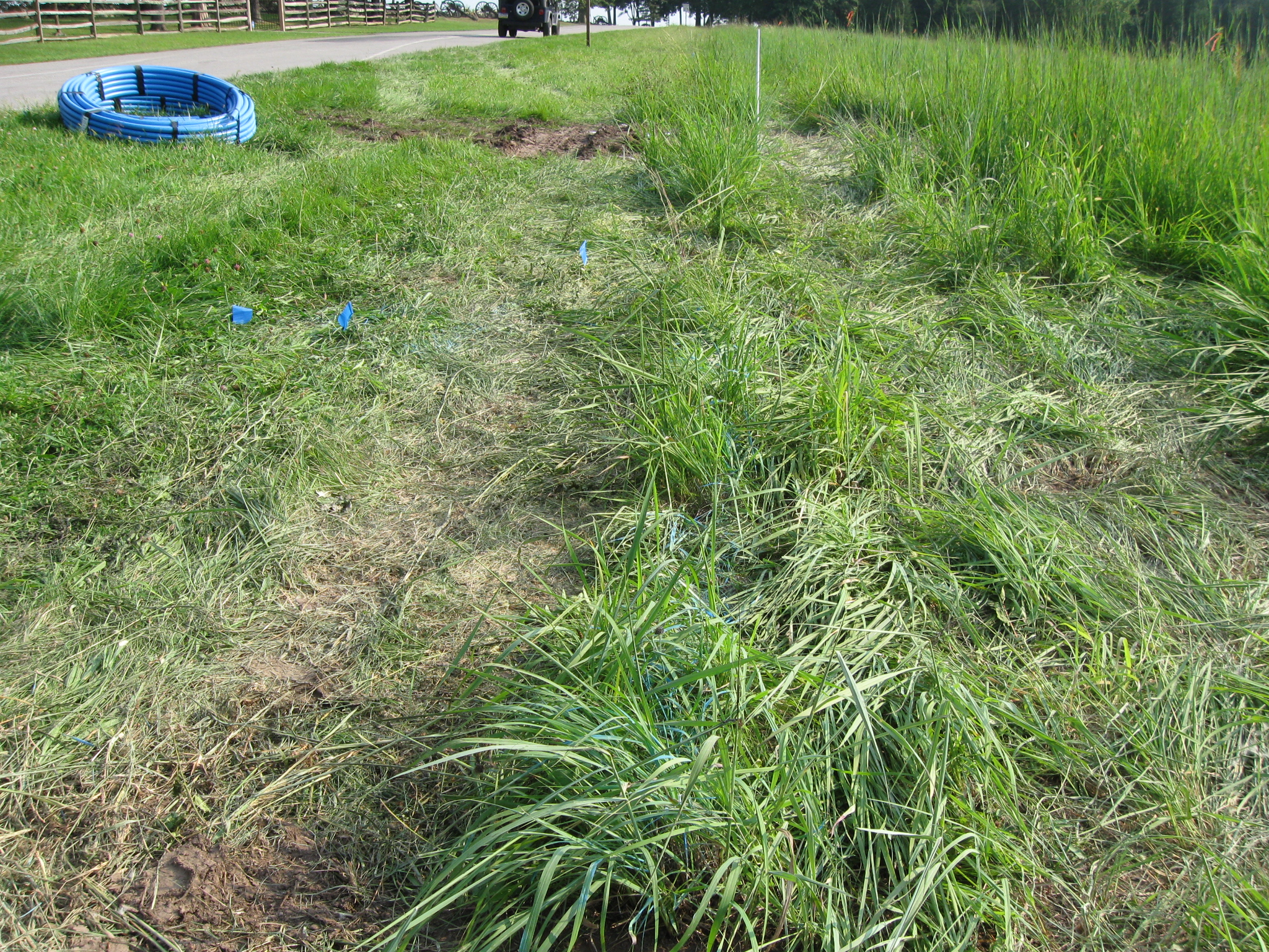
Looking at the tubing for the water line, one might not expect too wide of a trench for this project. This photograph was taken facing north at approximately 5:00 PM on Wednesday, August 26, 2009.
The markings for the water line fool one into thinking that the trench might be a foot wide, or two feet wide… This photograph was taken facing south at approximately 5:00 PM on Wednesday, August 26, 2009.
…three or four feet wide at the most? This photograph was taken facing south at approximately 5:00 PM on Wednesday, August 26, 2009.
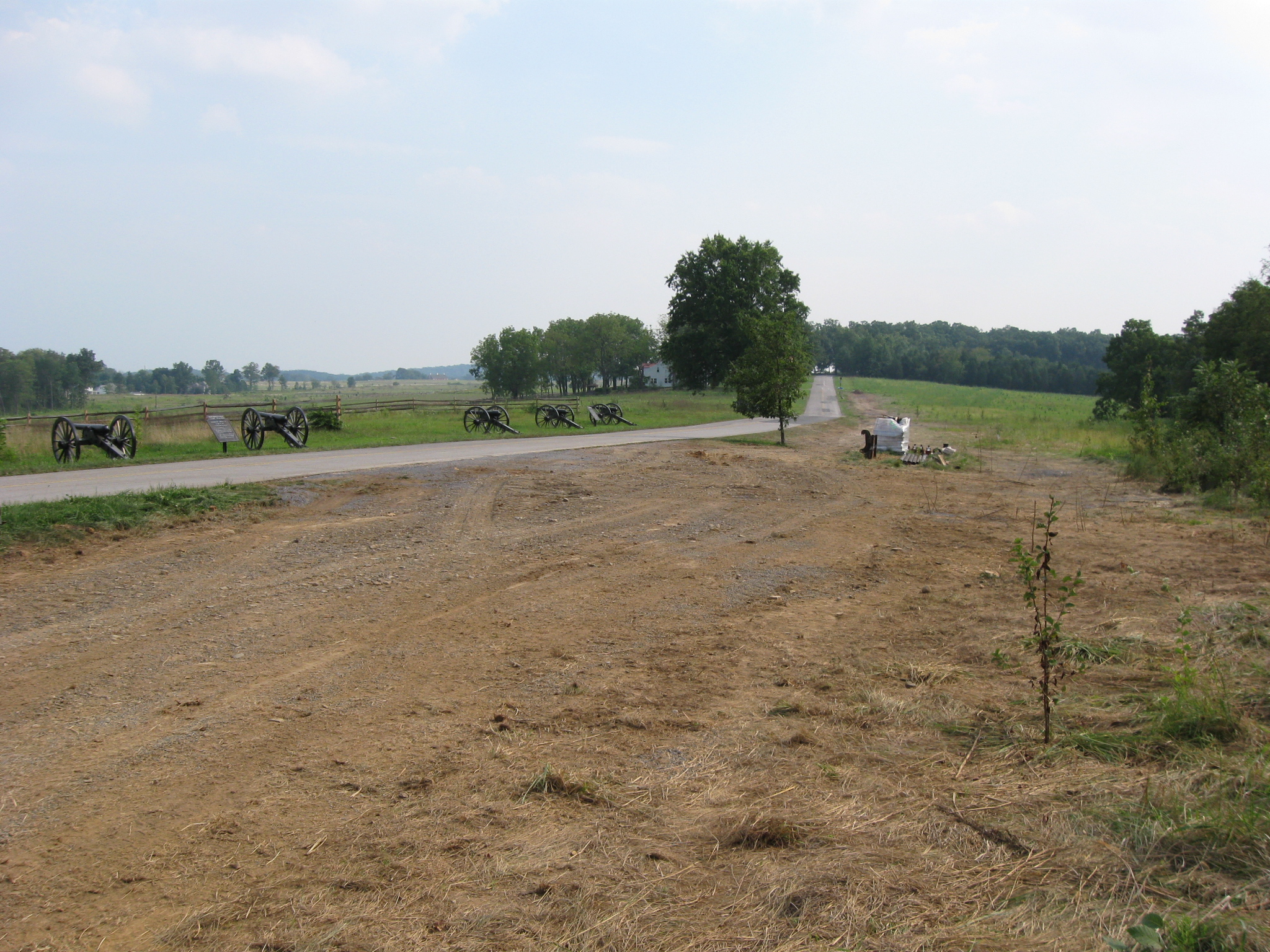
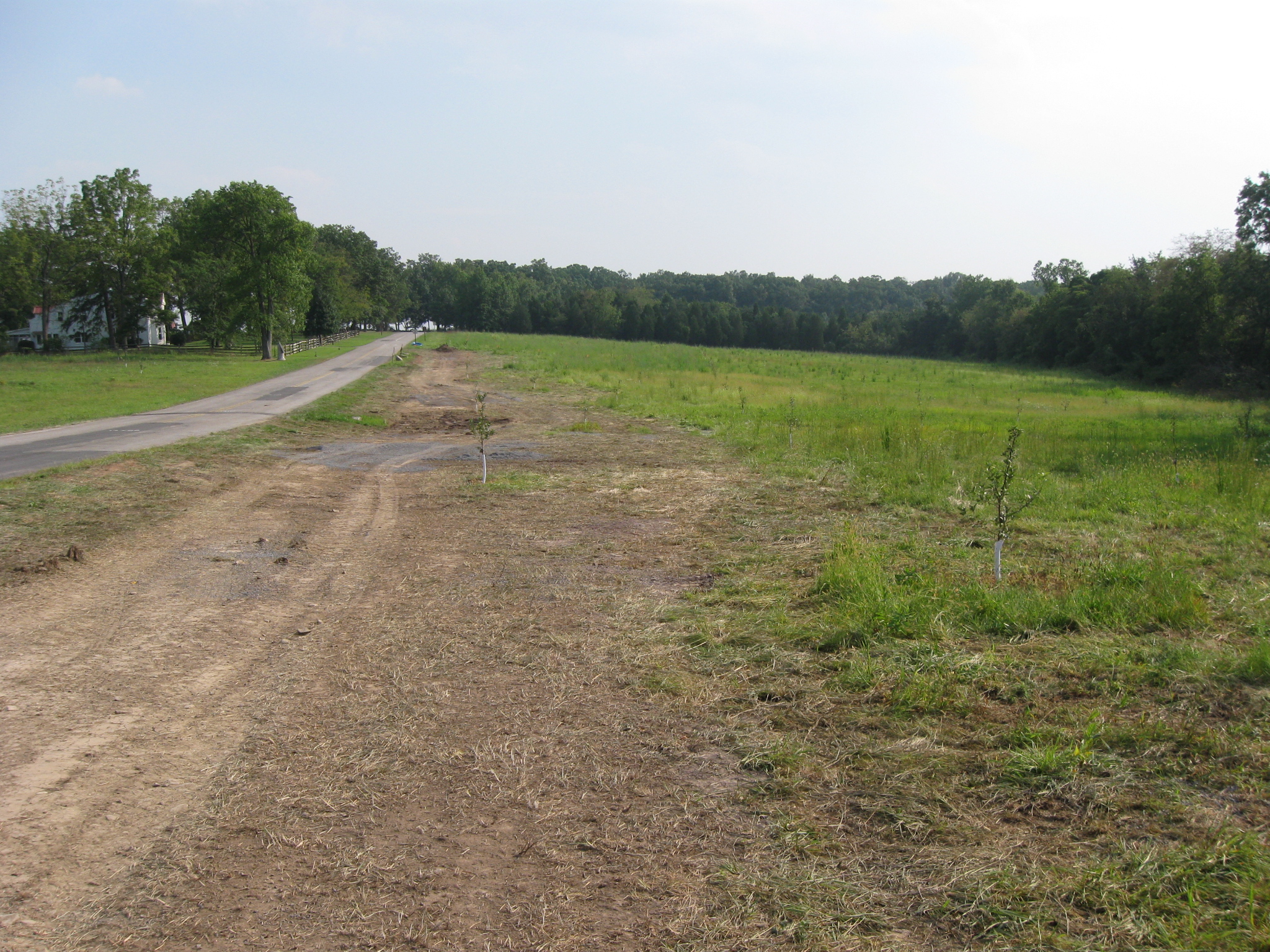
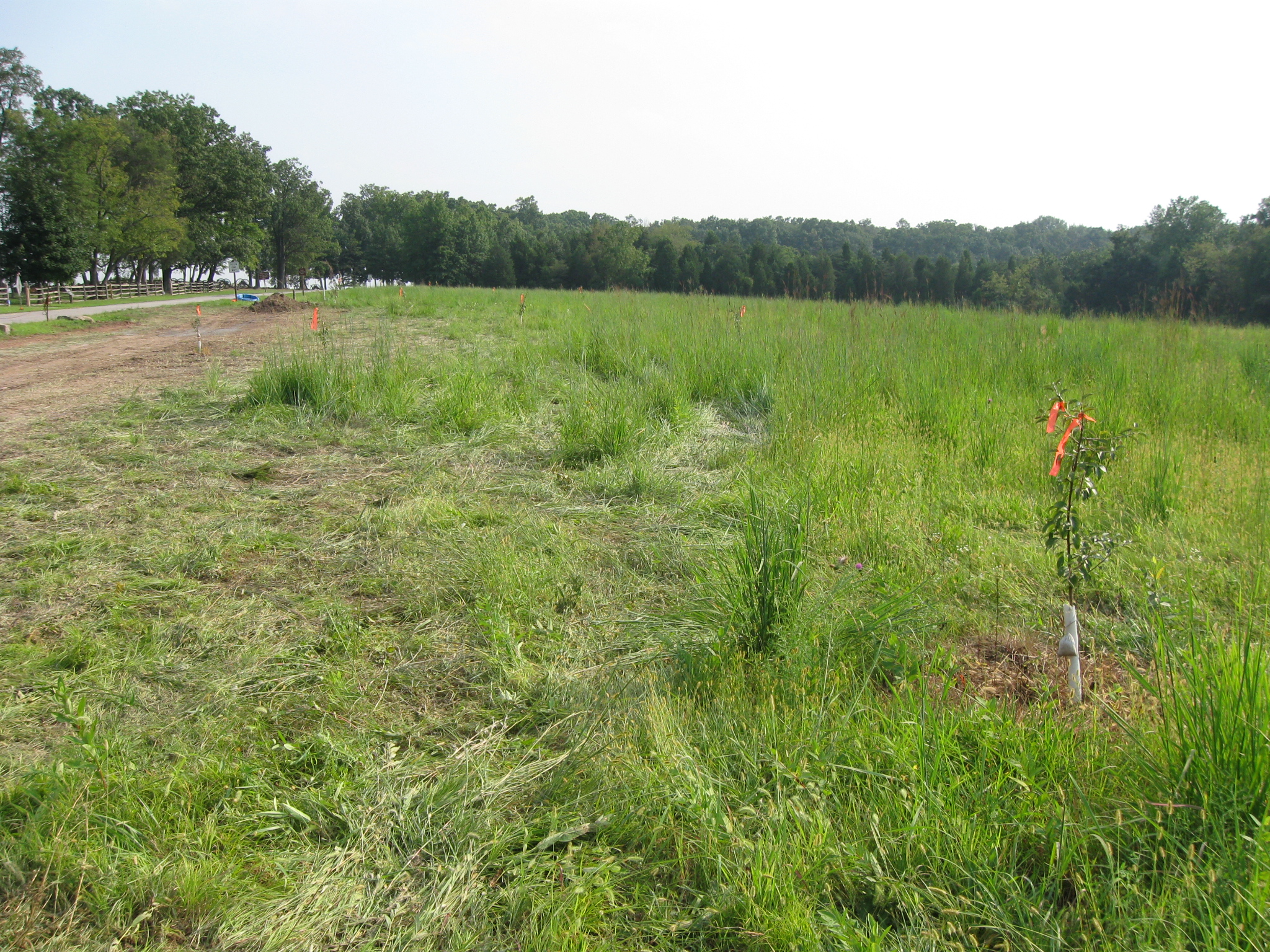
It is very obvious that we don’t understand construction projects on sensitive, historic ground. In places this swath that is being worked on here is over 40 feet wide. This view was taken facing south at approximately 5:00 PM on Wednesday, August 26, 2009.
Remember these green fields where an orchard was to be replanted? This view was taken facing south at approximately 5:00 PM on Tuesday, September 23, 2008.
They are certainly getting rid of those for this project. This view was taken facing south at approximately 5:00 PM on Wednesday, August 26, 2009.
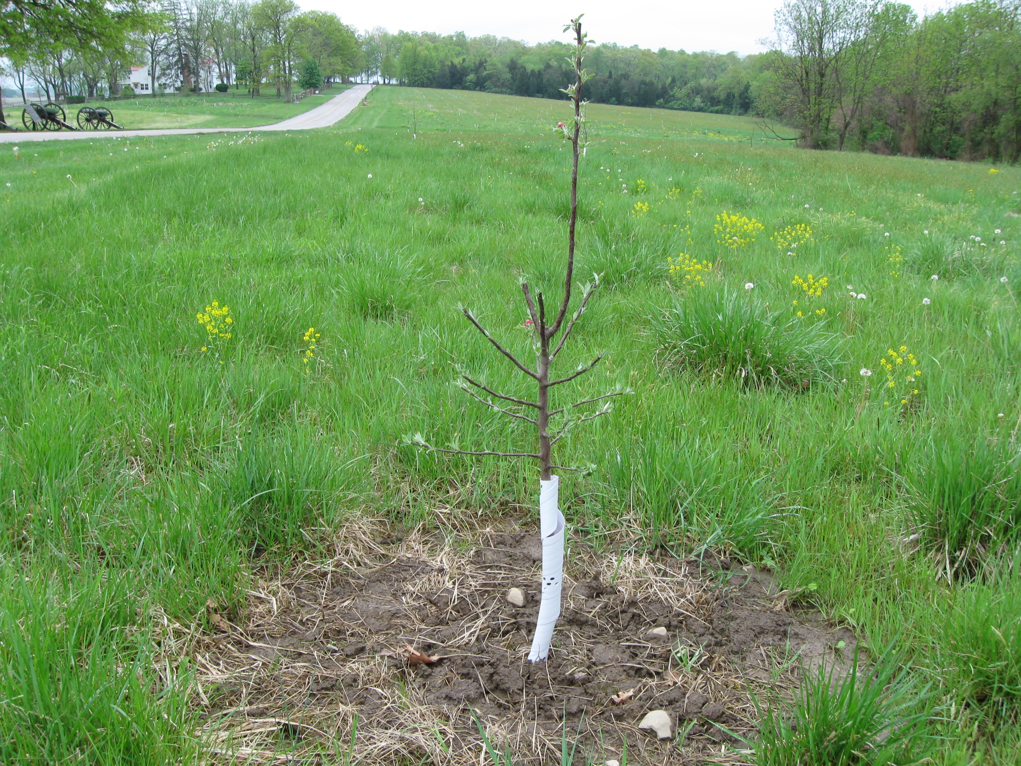
Hundreds of apple trees were replanted in this area last May. This view was taken facing southeast at approximately 4:45 PM on Tuesday, May 5, 2009.
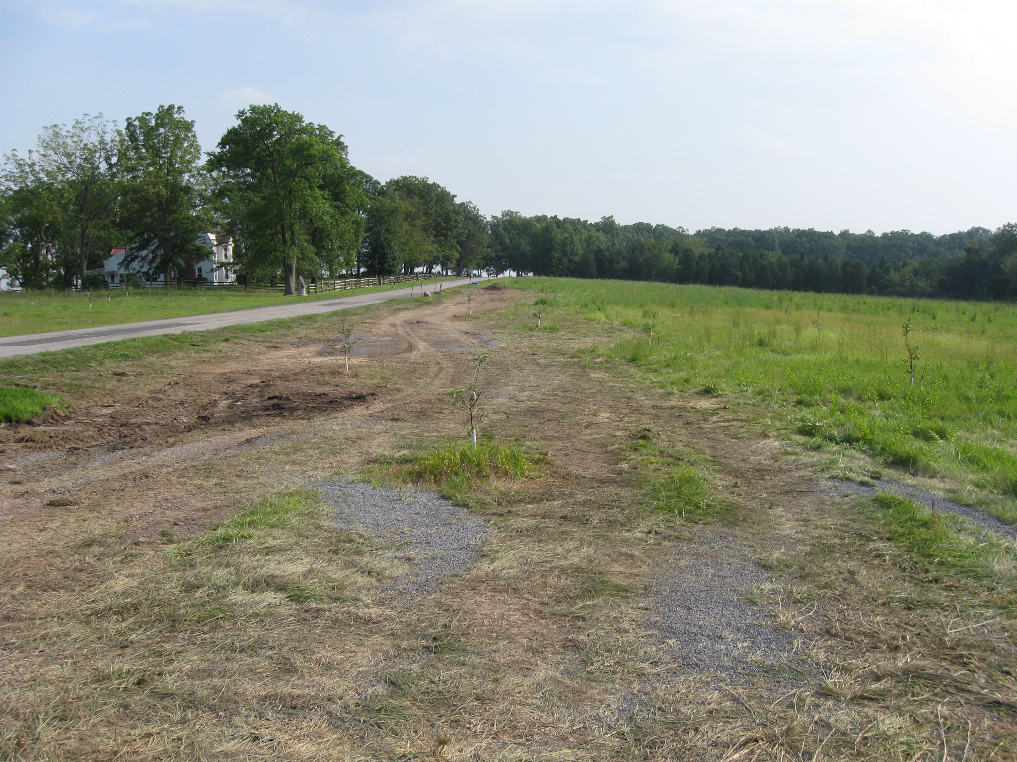
Some of them are now too close to West Confederate Avenue for this project. This view was taken facing south at approximately 5:00 PM on Wednesday, August 26, 2009.
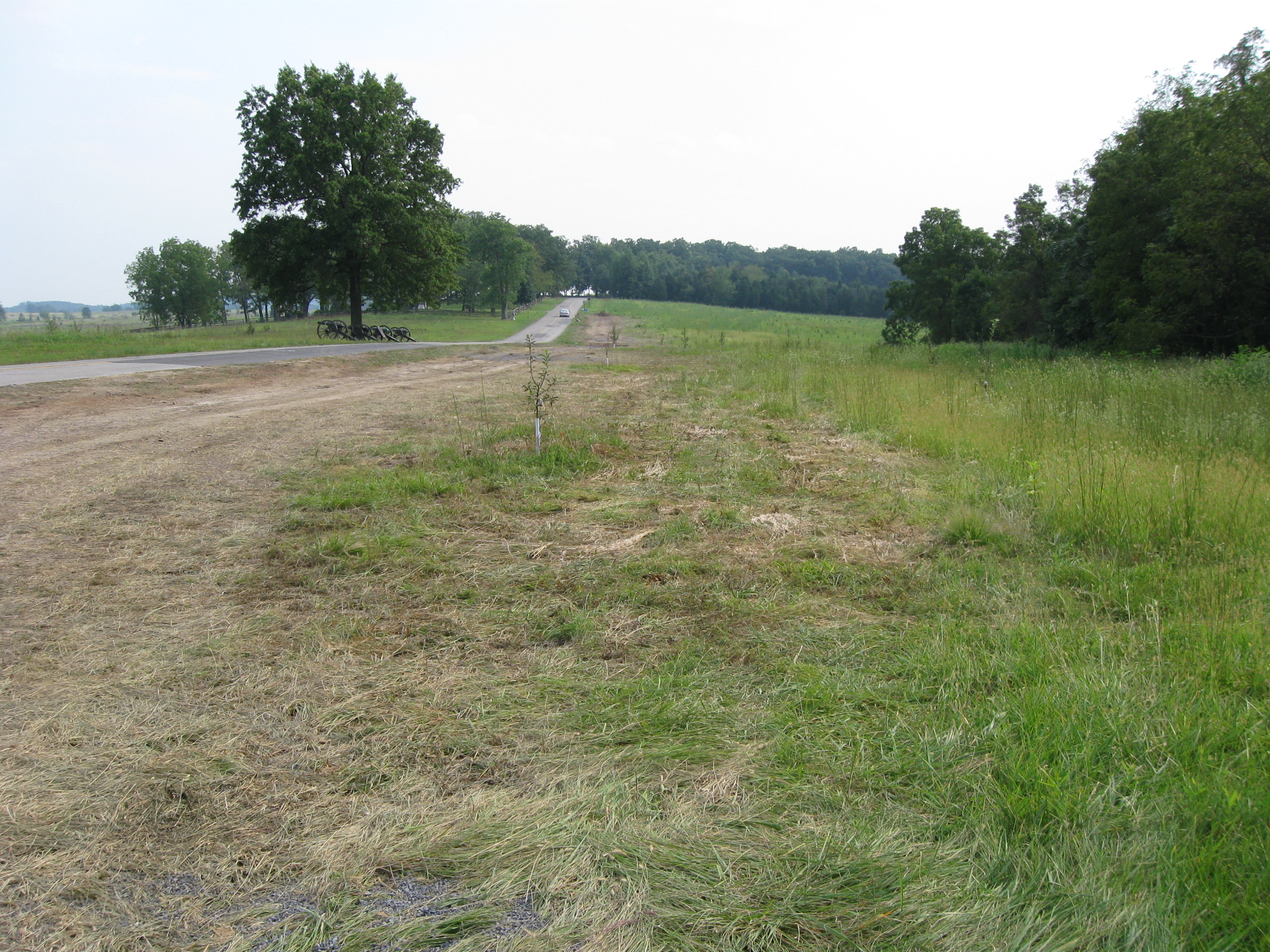
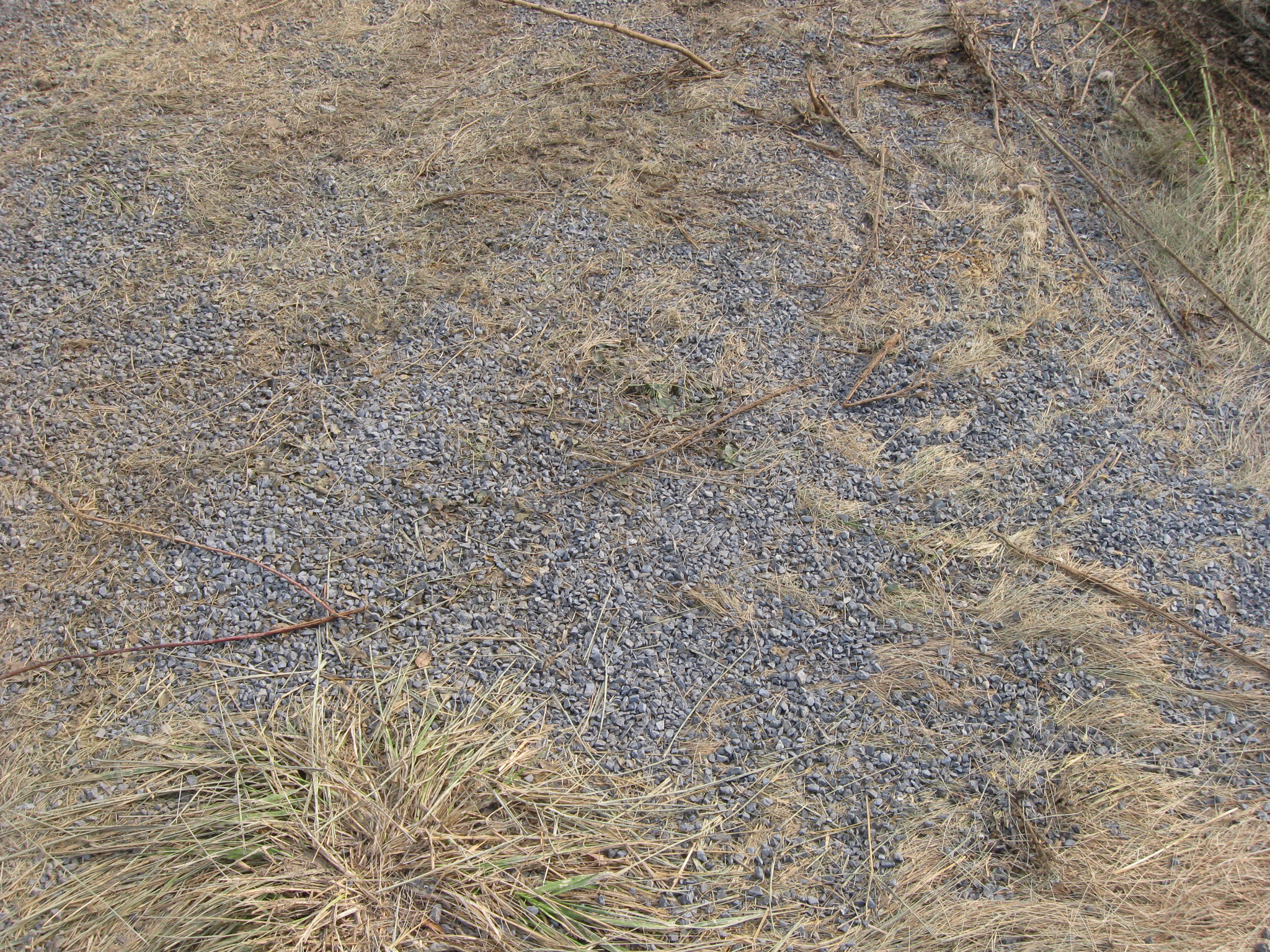
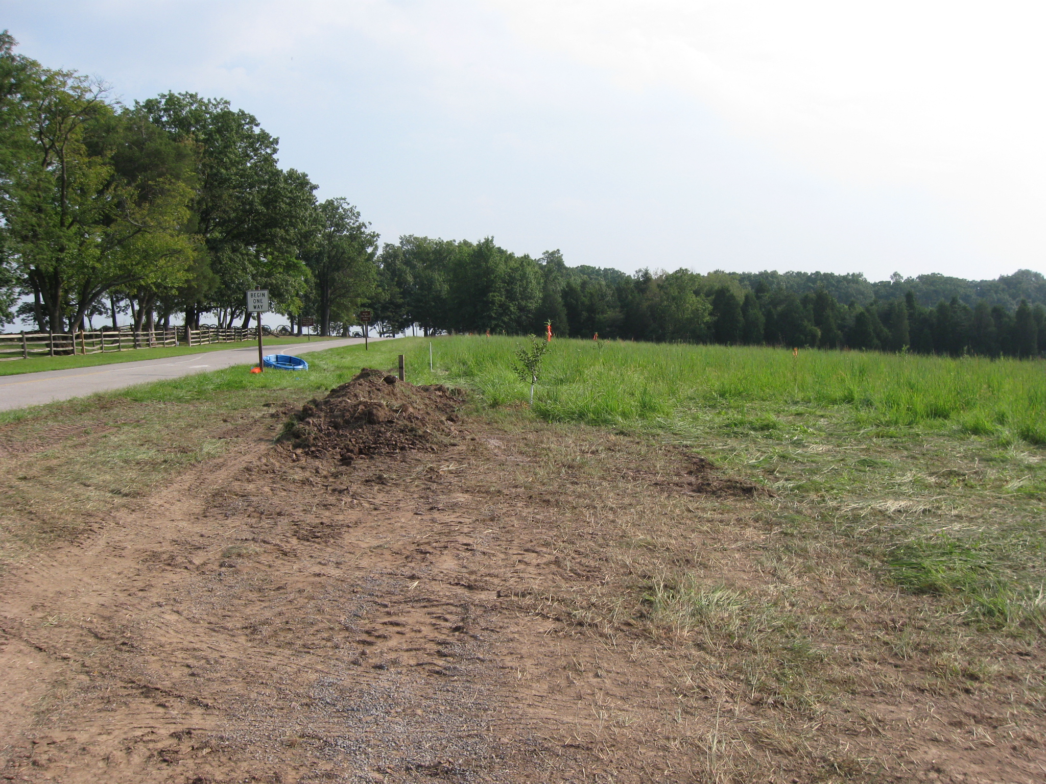
There is new topsoil and lots of gravel used in this project. This view was taken facing northwest at approximately 5:00 PM on Wednesday, August 26, 2009.
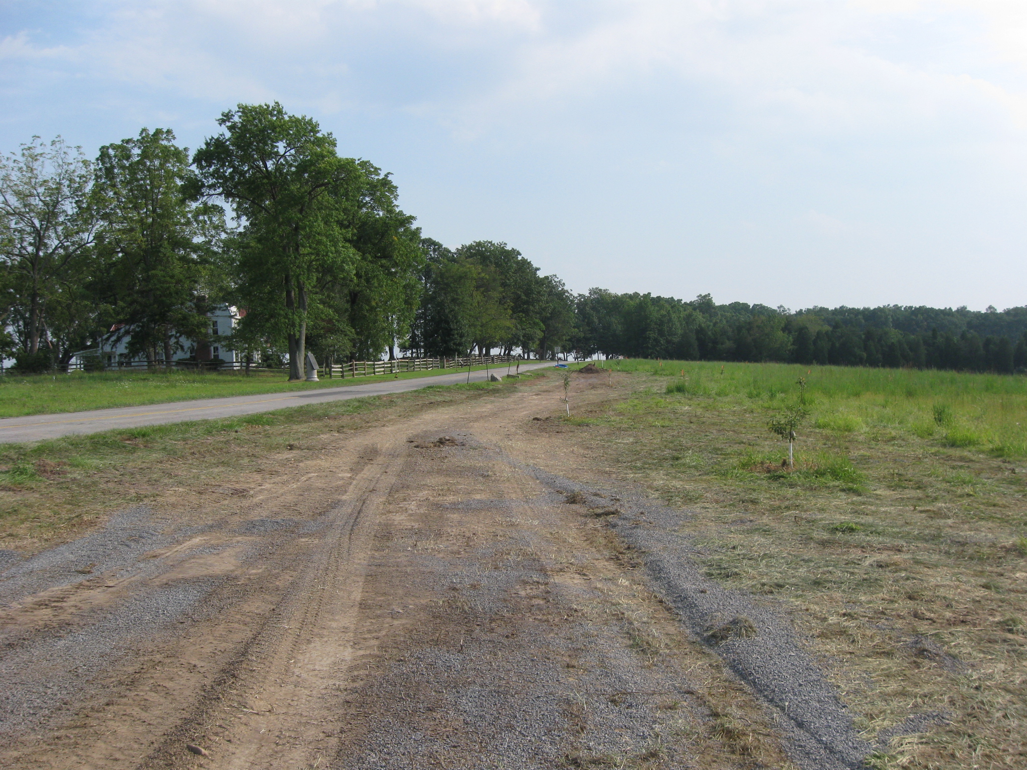
We assume the gravel is being used to stablize the ground for the large vehicles. This view was taken facing east at approximately 5:00 PM on Wednesday, August 26, 2009.
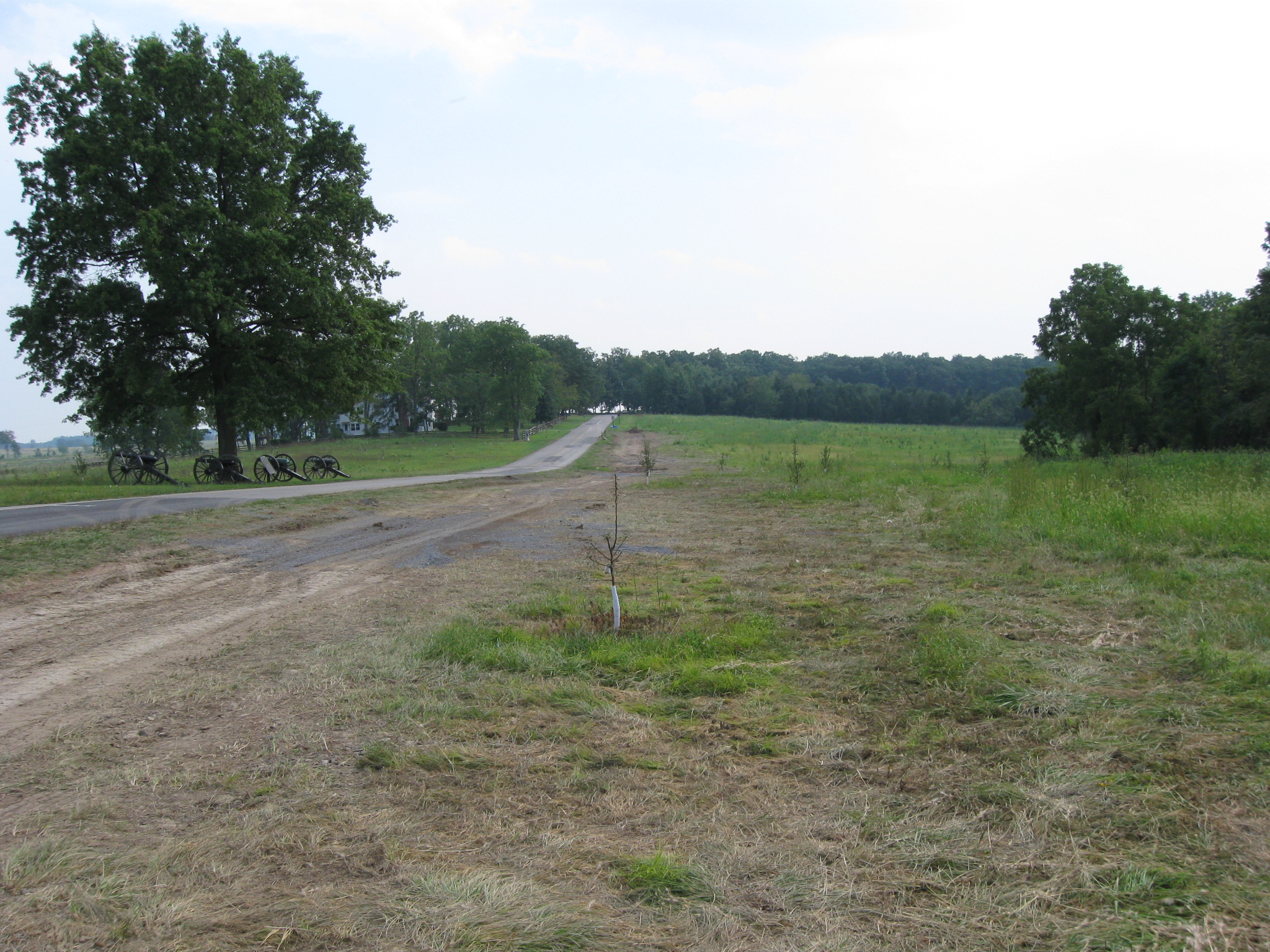
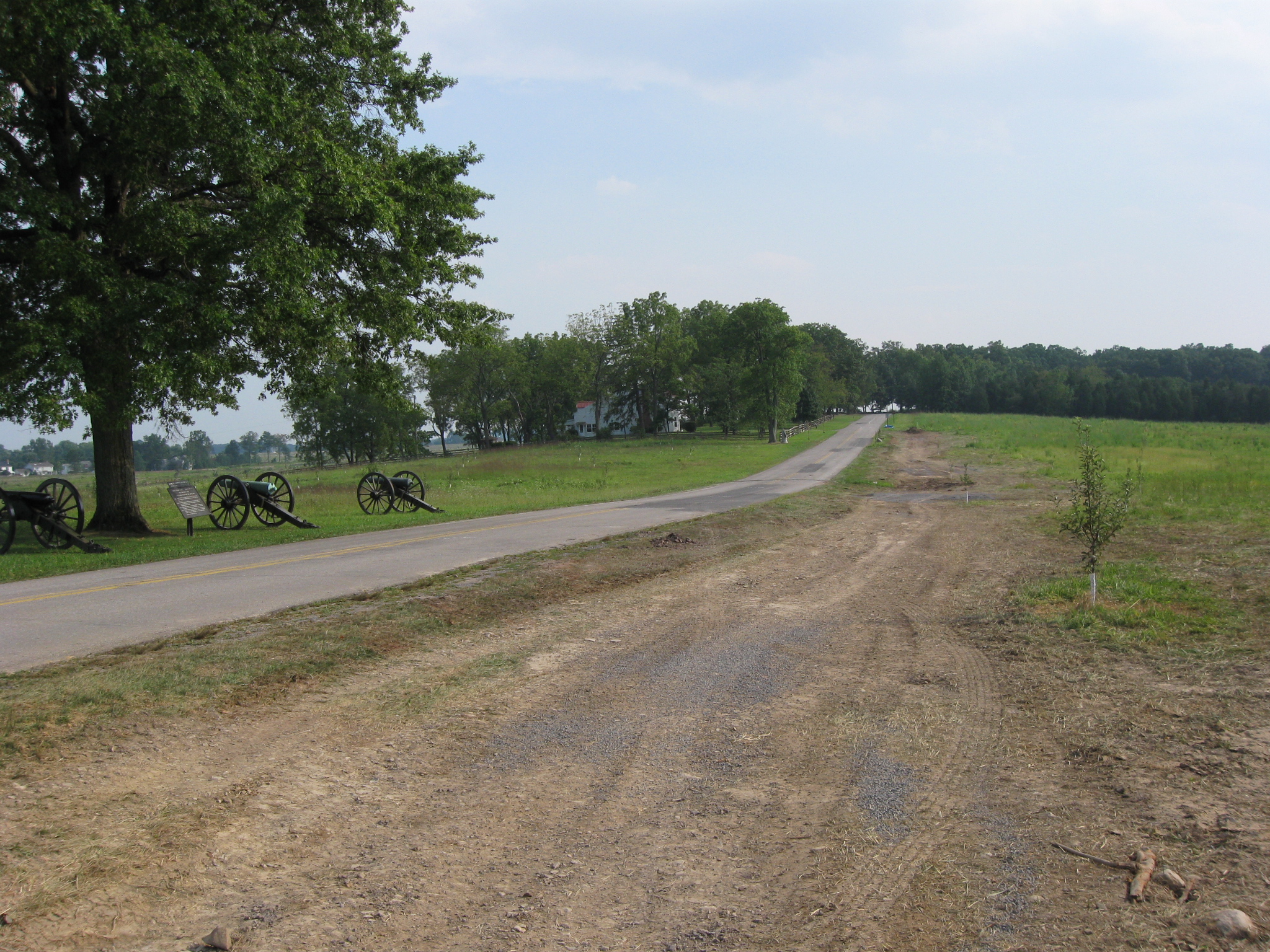
We will follow the construction towards McMillan Woods, which are in the background… This view was taken facing south at approximately 5:00 PM on Wednesday, August 26, 2009.
…and among the newly planted apple trees. This view was taken facing south at approximately 5:00 PM on Wednesday, August 26, 2009.
Notice the apple trees on the right side of the avenue. This photograph was taken facing southeast at approximately 5:00 PM on Wednesday, August 26, 2009.
Here’s how this view looked last spring. This view was taken facing south at approximately 4:45 PM on Tuesday, May 5, 2009.
This view was taken facing southeast at approximately 5:00 PM on Wednesday, August 26, 2009.
This view was taken facing south at approximately 5:00 PM on Wednesday, August 26, 2009.
This view was taken facing south at approximately 5:00 PM on Wednesday, August 26, 2009.
This view was taken facing south at approximately 5:00 PM on Wednesday, August 26, 2009.
This view was taken facing southeast at approximately 5:00 PM on Wednesday, August 26, 2009.
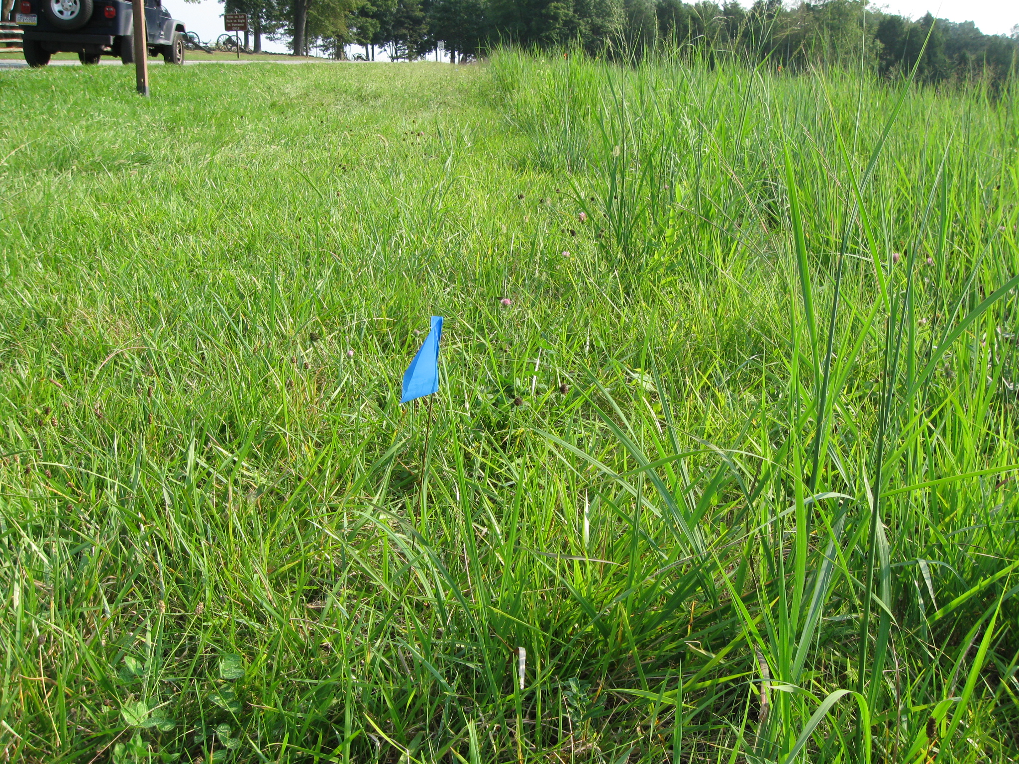
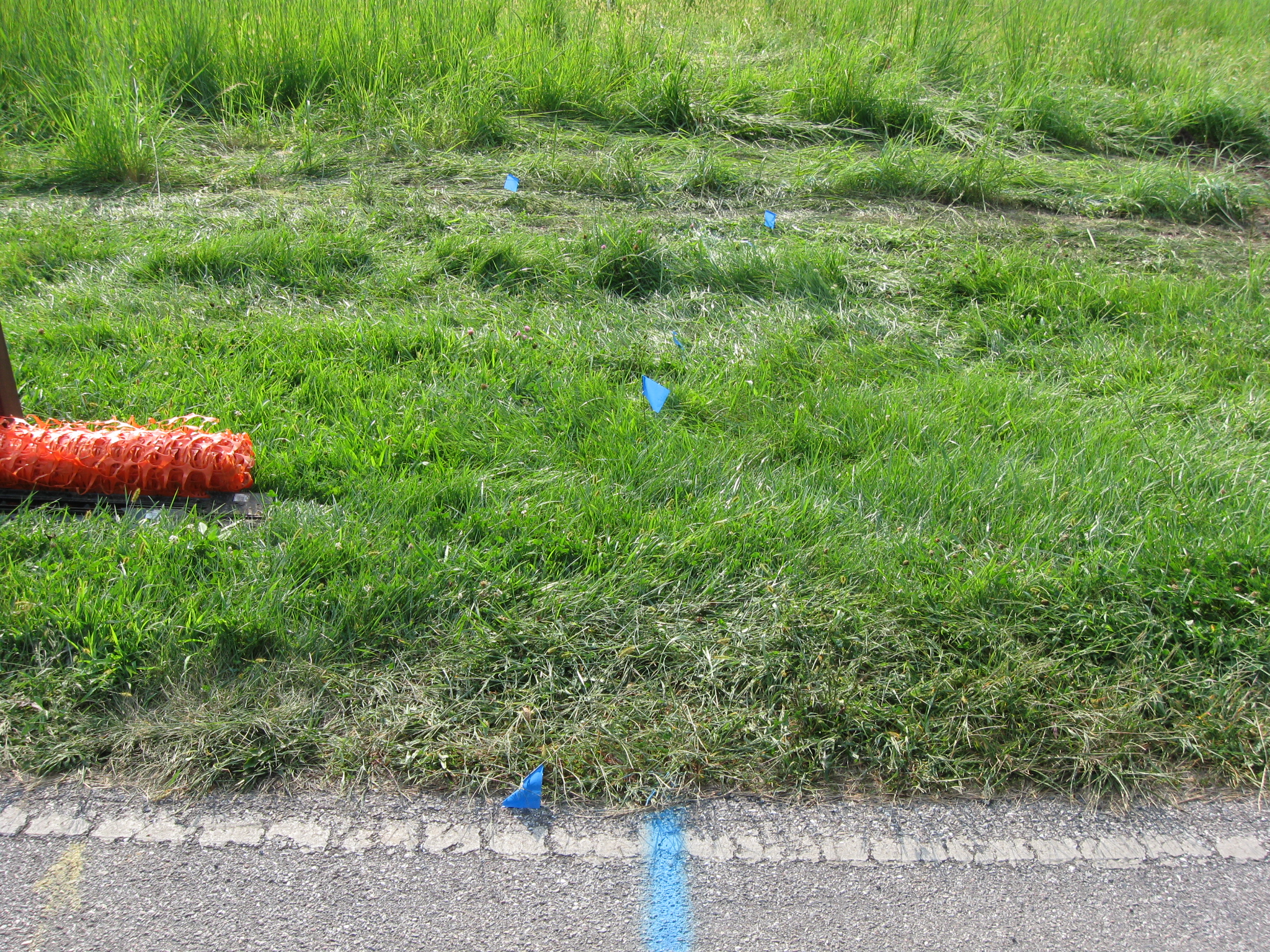
Orange ribbons on the trees in this area… This view was taken facing south at approximately 5:00 PM on Wednesday, August 26, 2009.
…show how wide this project will come west of the road. This view was taken facing south at approximately 5:00 PM on Wednesday, August 26, 2009.
This view was taken facing southeast at approximately 5:00 PM on Wednesday, August 26, 2009.
This view was taken facing south at approximately 5:00 PM on Wednesday, August 26, 2009.
This view was taken facing south at approximately 5:00 PM on Wednesday, August 26, 2009.
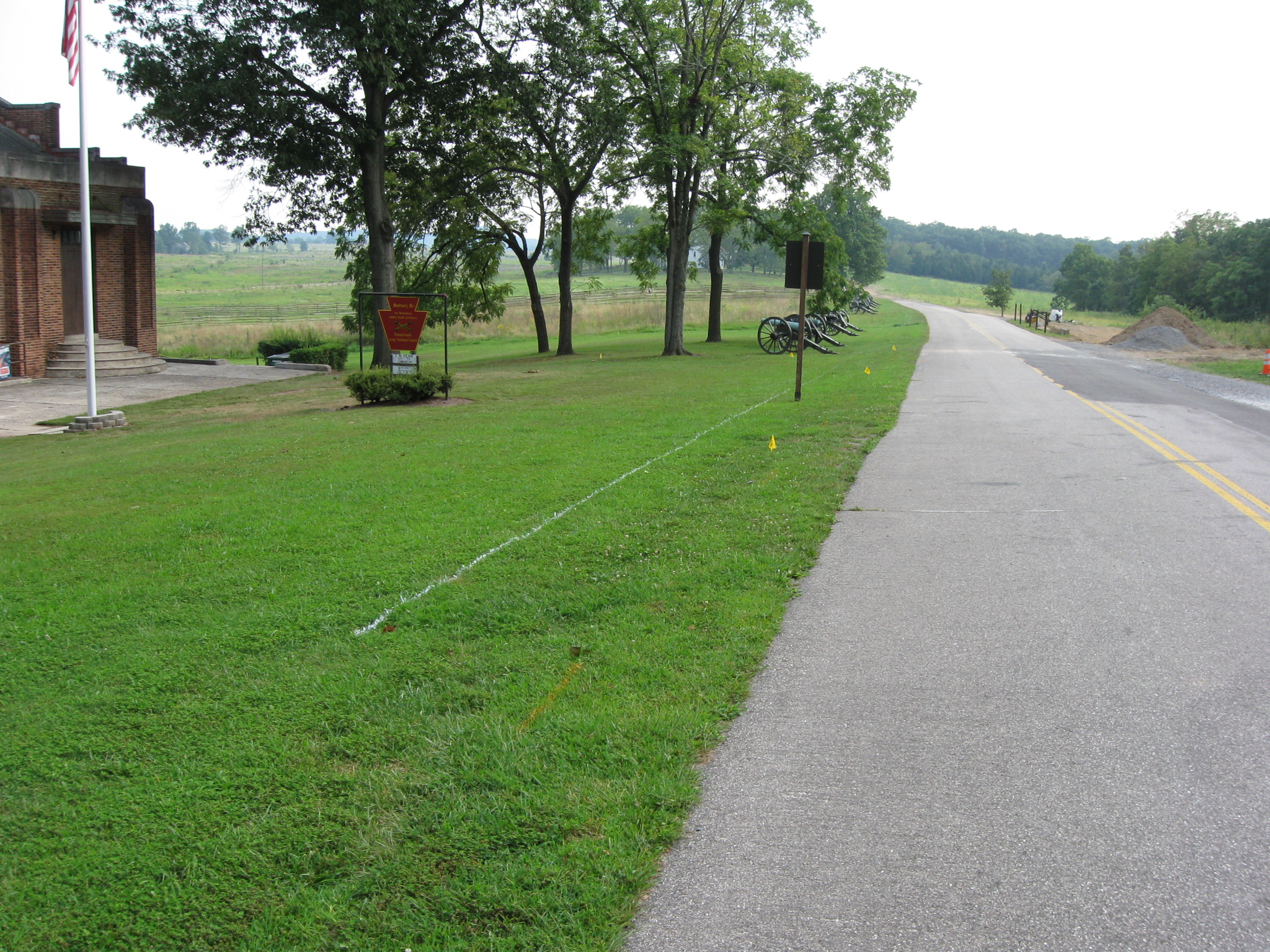
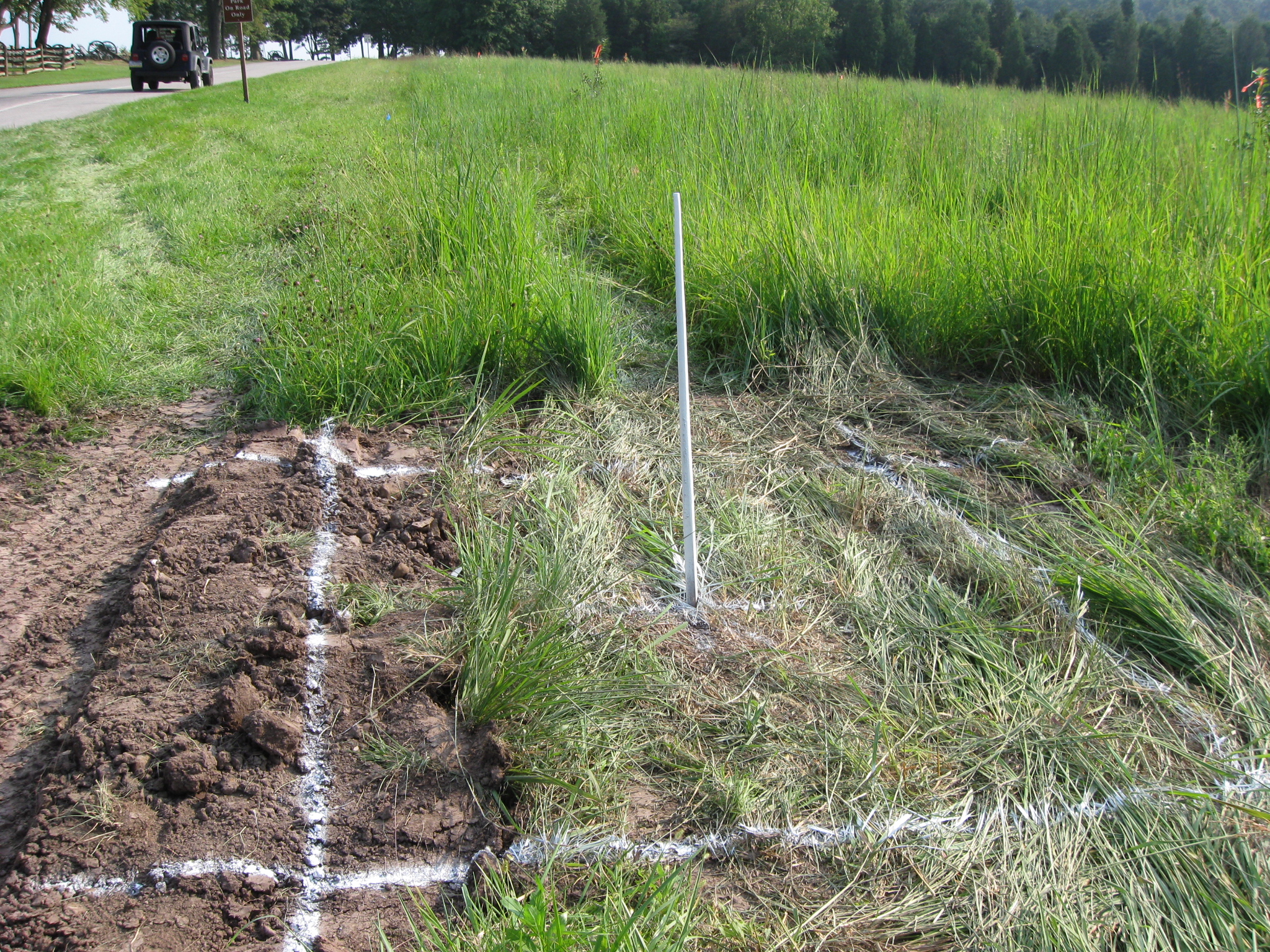
As we approach the McMillan House, we found something interesting. This view was taken facing southeast at approximately 5:00 PM on Wednesday, August 26, 2009.
Not this pile of dirt. This view was taken facing south at approximately 5:00 PM on Wednesday, August 26, 2009.
What we find is interesting is that the National Park Service contractor is digging the water line… This view was taken facing west at approximately 5:00 PM on Wednesday, August 26, 2009.
…to the privately owned McMillan House. National Park Service Spokesperson Katie Lawhon replied to our inquiry about the line going to the McMillan House with the following: “The homeowners do not have to pay a fee since it is not a voluntary upgrade to their public water service. We are doing the project in partnership with GMA (Gettysburg Municipal Authority). GMA will own the line–and be obligated to maintain the line –in the area where the houses are located once the project is finished.” This view was taken facing east at approximately 5:00 PM on Wednesday, August 26, 2009.
Tomorrow we will continue to follow the water line… This view was taken facing south at approximately 5:00 PM on Wednesday, August 26, 2009.
…into McMillan’s Woods which are in the background. This view was taken facing south at approximately 5:00 PM on Wednesday, August 26, 2009.
Horse Trail Construction Near South Confederate Avenue on August 14, 2009.
“We Don’t Think the Park Service Wants You to Take Pictures Here on May 13, 2009.
And the Nomination for Most Thorough Burying of a Flank Marker Goes to… on November 14, 2008.
Patterson Farm Tree Cutting and the left flank marker of Knap’s Pennsylvania Battery thrown in a pile behind the NPS Maintenance Buildings on November 9, 2008.
National Park Service Does Move Flank Markers on October 23, 2008.
National Park Service decision not to move the Reynolds Avenue flank markers on October 22, 2008.
“Do the Flank Markers on Reynolds Avenue Need to be Moved?” on October 16, 2008.
Dirt and Gravel Return to the Flank Markers on October 15, 2008.
Dirt and Gravel Removed from the Flank Markers on October 10, 2008.
Dirt and Gravel Burying the Flank Markers on October 9, 2008.
Doubleday Avenue Roadwork on October 1, 2008.
Asphalt Touches the Flank Marker of the 147th New York on September 30, 2008.
Contractors trying to cover up their mistake of having asphalt touch boulders in The Loop on September 22, 2008.
Slathering the Loop With Asphalt on September 13, 2008.
Devil’s Den: Aftermath of the Construction on September 11, 2008.