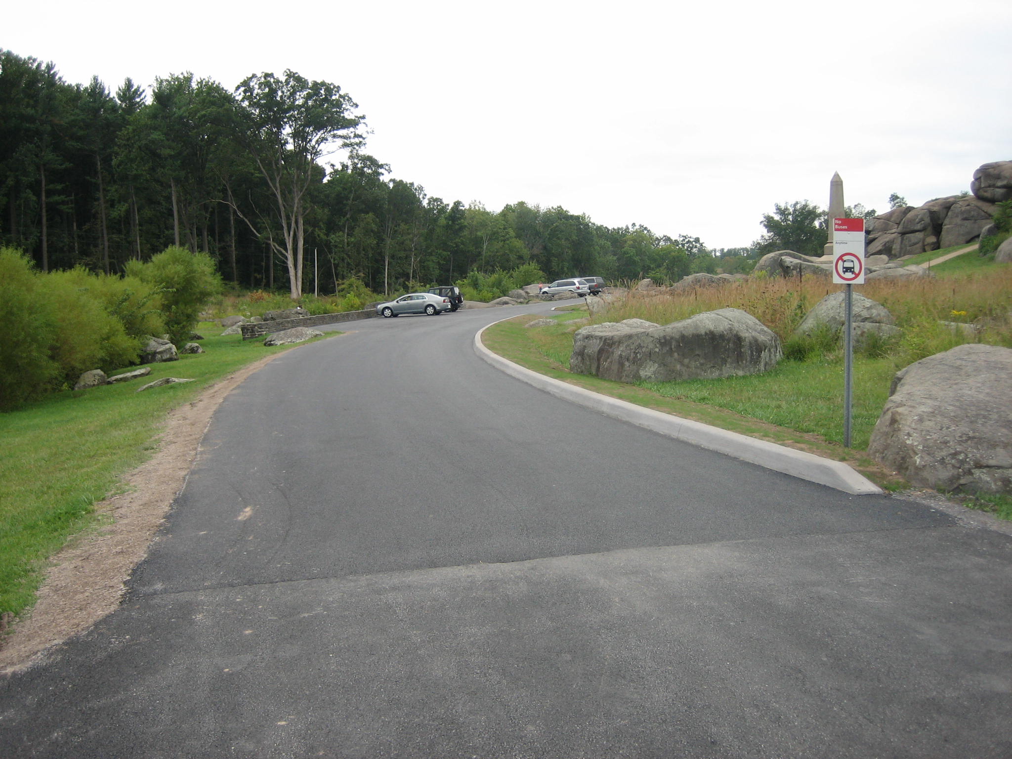
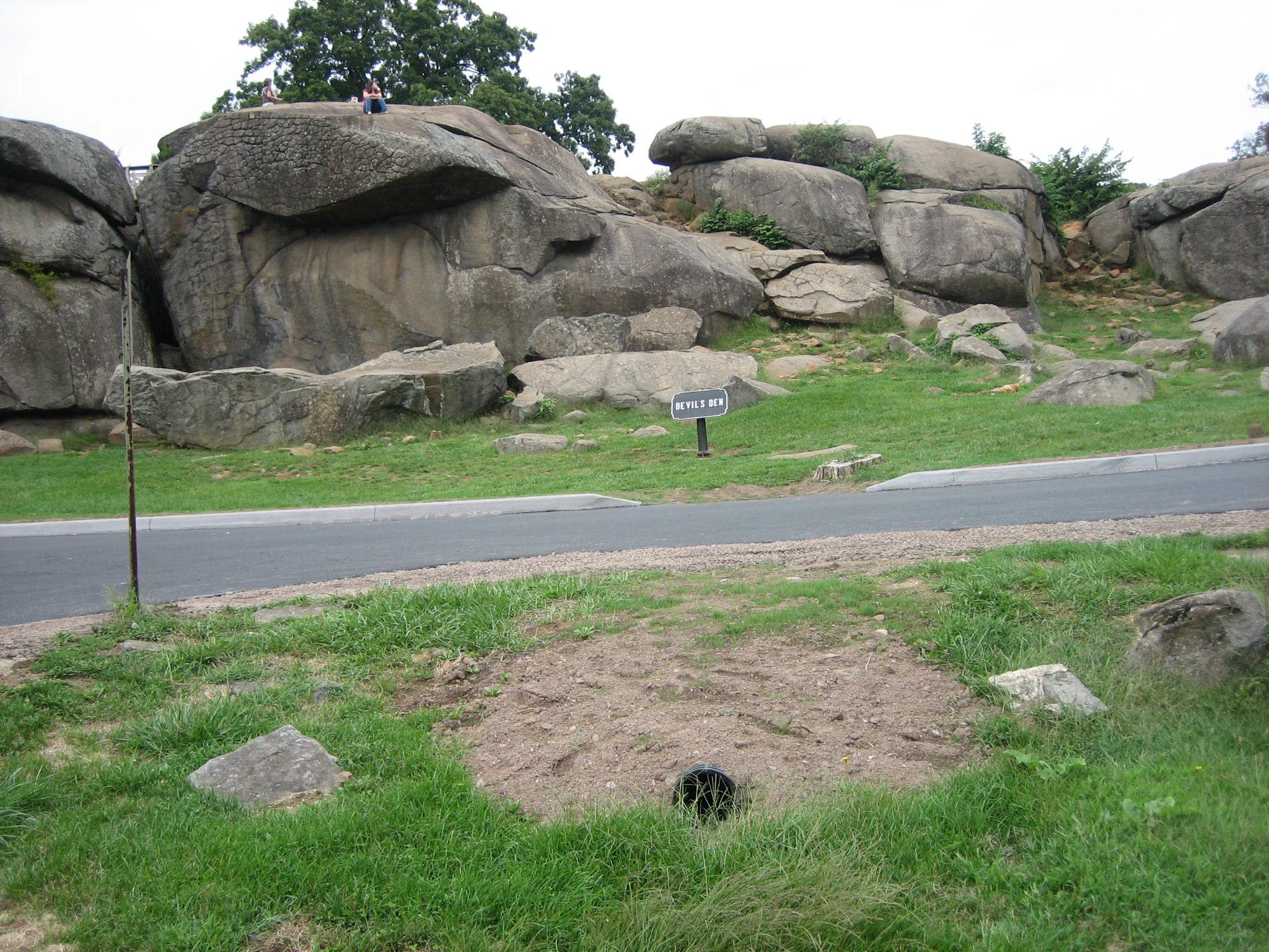
When one first enters Devil’s Den, the road construction that occurred this summer appears to be worth the wait for this area to reopen. There is new asphalt in the road, and new curbs on the right of the road. There is a dirt and rock mix for the left “berm” of the road to keep the asphalt from crumbling if vehicle tires pull off the road on the left. This view was taken from the northeast facing southwest at approximately 5:00 PM on Thursday, September 11, 2008.
The road and culvert construction that kept Devil’s Den closed on and off through August and September appears to be over. This area now contains asphalt. Lots of asphalt. There are new curbs. New drains have made their appearance. The infrastructure of the National Park Service is crumbling. Construction must occur, but at what historical cost?
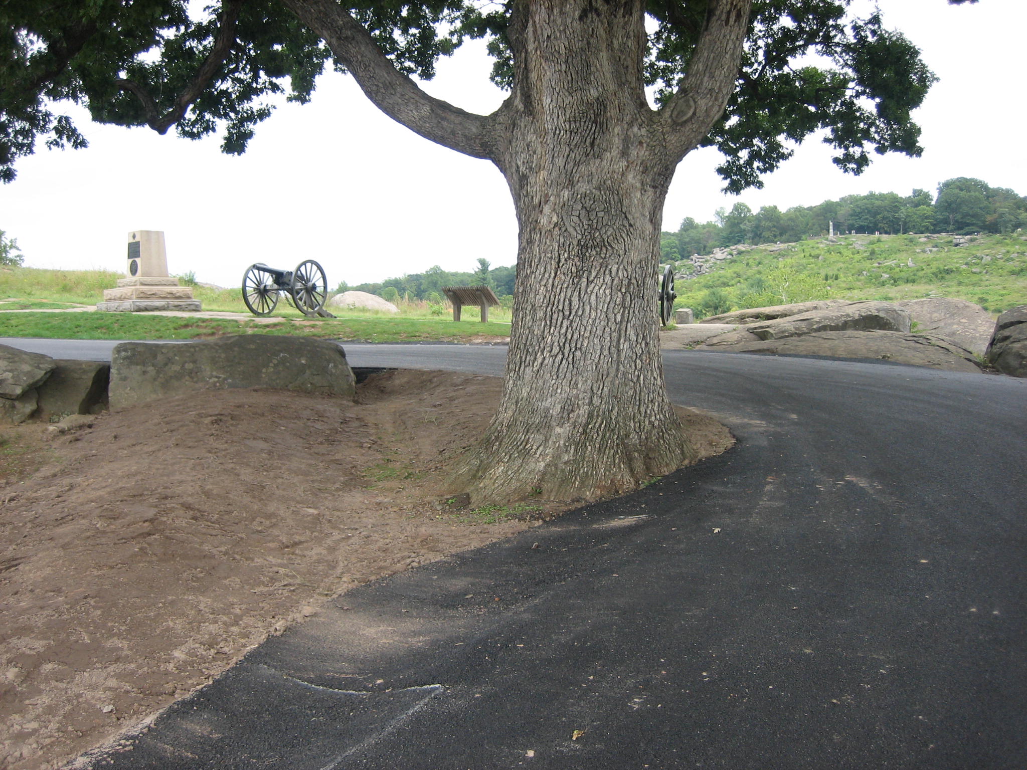
Asphalt now covers more of the roots of the Devil’s Den Witness Tree. A new “earthwork” has been constructed for visitor speculation and interpretation. Stonework by the 1930s Civilian Conservation Corps is now covered with asphalt. There are now trenches that disturbed the ground of some of the most hallowed land in the United States. Were there archaeological studies performed previous to this scarring of the ground? Were there National Park Service Historians involved in overseeing this work? We are left with the impression that this area was left in the hands of whom we assume was the lowest bidder for this project.
The National Park Service at Gettysburg over the last 15 years or so has done a great job restoring the battlefield closer to the way it looked in 1863. We are very sorry to see the way this Devil’s Den project was handled.
See a follow up on the Devils Den and Loop construction on September 22, 2008.
For the resurfacing of the Stony Hill or “Loop” area, see our post of September 13, 2008.
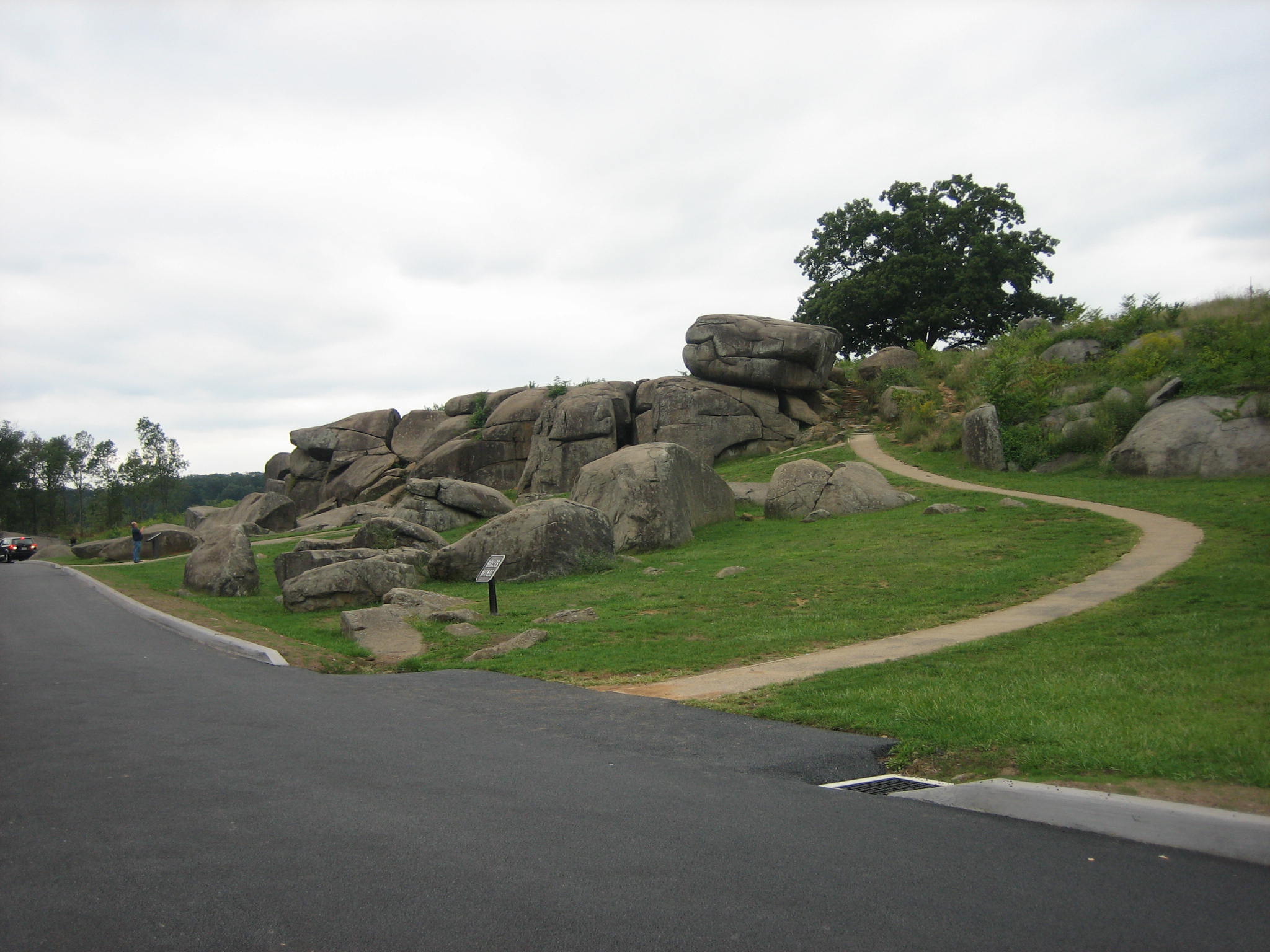
This area with the curbing looks good. The new drains are probably needed, but where do they go? This view was taken from the northeast facing southwest at approximately 5:00 PM on Thursday, September 11, 2008.
The drains and culverts take water from the west side of the parking area and road, underneath the road to the east side and Plum Run. This view was taken from the northeast facing southwest at approximately 5:00 PM on Thursday, September 11, 2008.
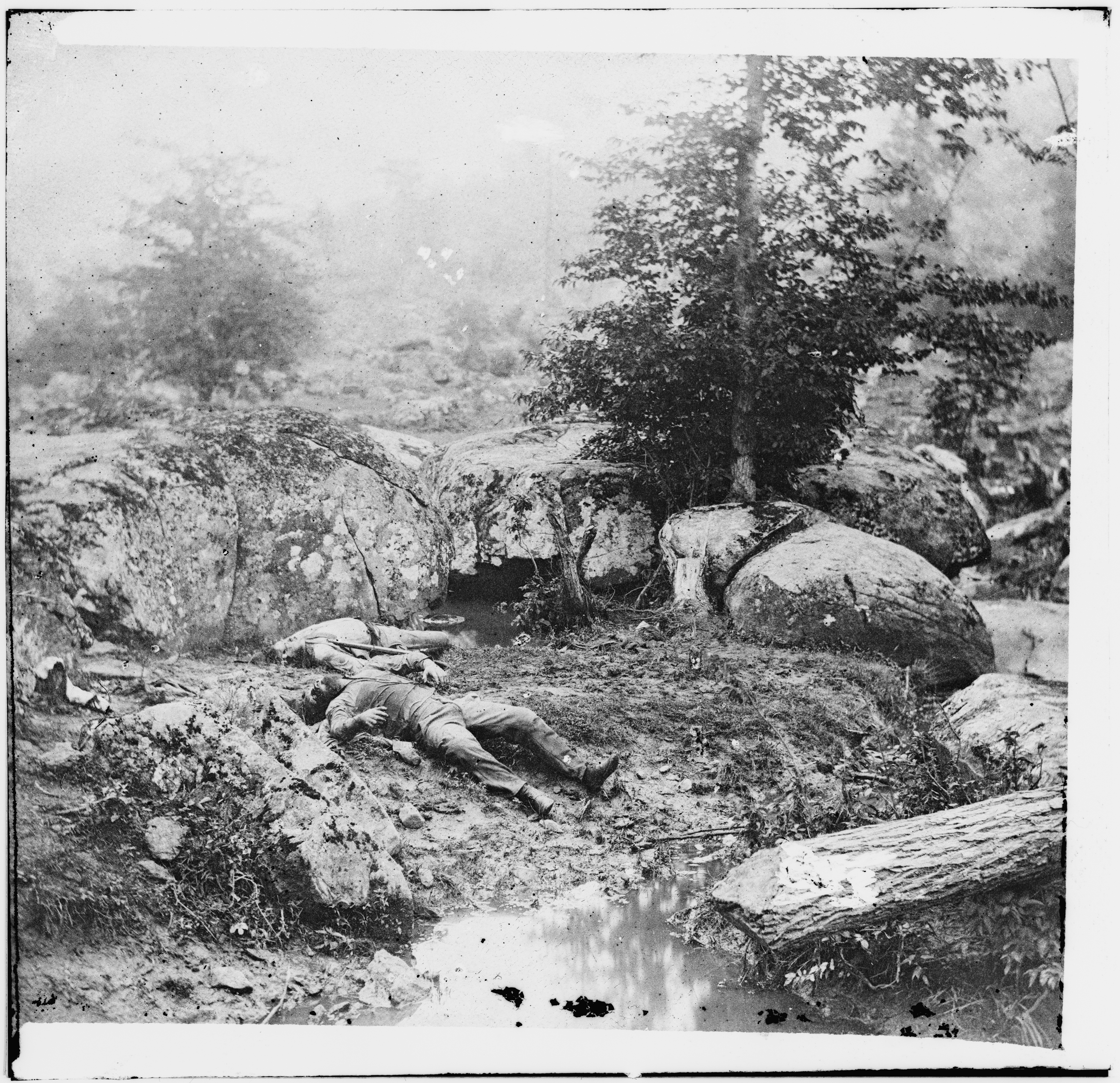
In a National Military Park, where no relic hunting is allowed, and one is not allowed to turn over a spoonful of earth without breaking federal laws, a trench approximately eight feet wide and 30 feet long was dug. What was in this earth at the Slaughter Pen? This is the area where Alexander Gardner’s crew took some very moving photographs of Confederate bodies on July 6, 1863. This view was taken from the southeast facing northwest at approximately 5:00 PM on Thursday, September 11, 2008.
Though not the exact location of our photographs, here is Alexander Gardner’s “Dead Confederate soldiers in the ‘slaughter pen’ at the foot of Little Round Top.” For the right half of the stereograph you can visit the Library of Congress page. As with all images on our site, you can click to enlarge.
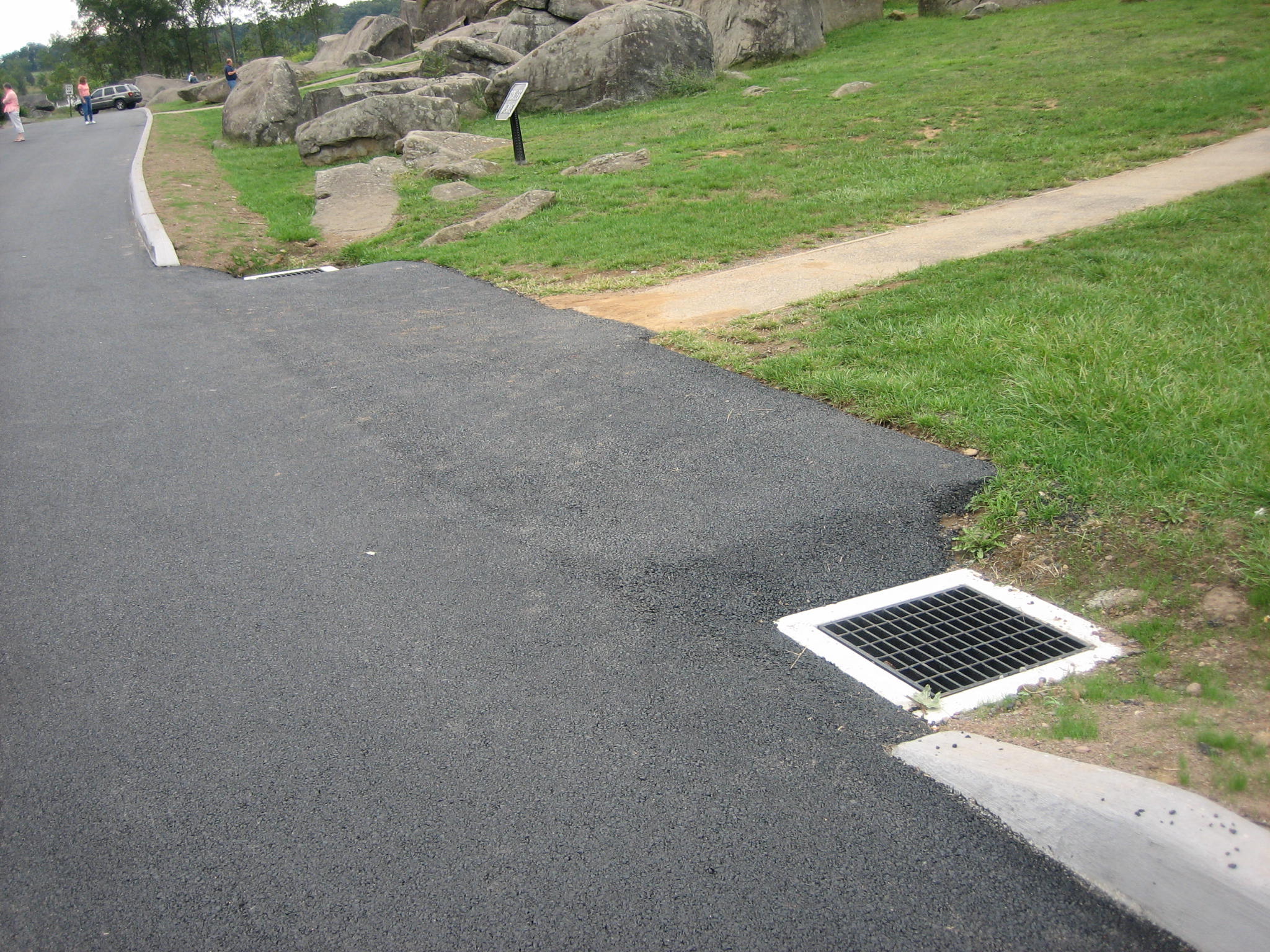
Unfortunately, there are many more examples of this work at Devils Den and other parts of the battlefield. Here is the culvert near the Devils Den sign. One hoped that the contractors carefully removed the earth to make the trenches before disturbing such historically important ground. This view was taken from the southeast facing northwest at approximately 5:00 PM on Thursday, September 11, 2008.
Here’s what they used to dig the trenches. This piece of equipment was parked at the top of Houck’s Ridge near the intersection of Brooke Avenue and Sickles’ Avenue. This view was taken from the northwest facing southeast at approximately 5:00 PM on Thursday, September 11, 2008.
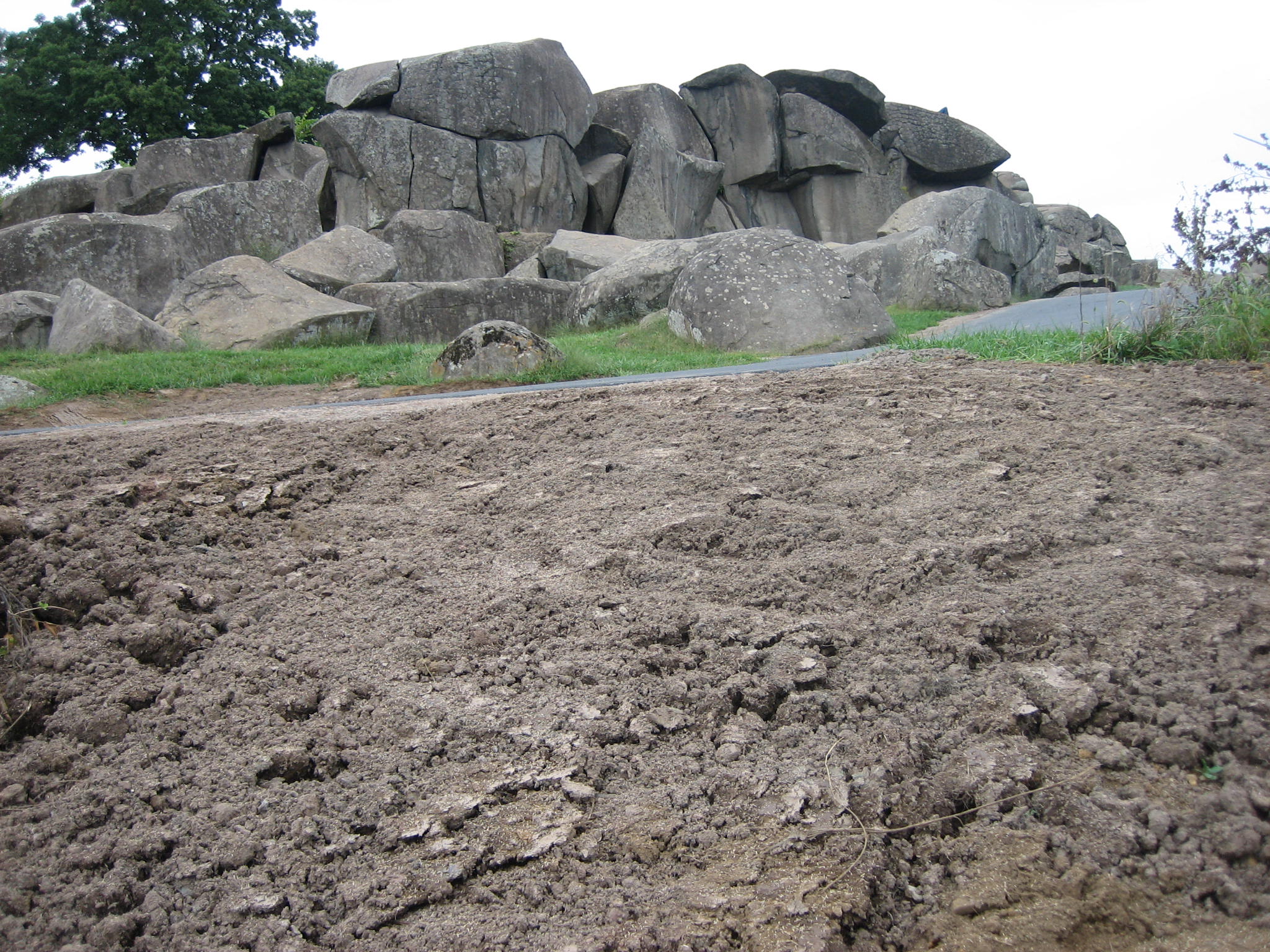
Farther along Crawford Avenue, we come to the area of the third drain. This area is approximately 20′ wide and 21′ from the road back to the southeast and Plum Run. We hope this dirt was brought in from a location off the battlefield. This view was taken from the southeast facing northwest at approximately 5:00 PM on Thursday, September 11, 2008.
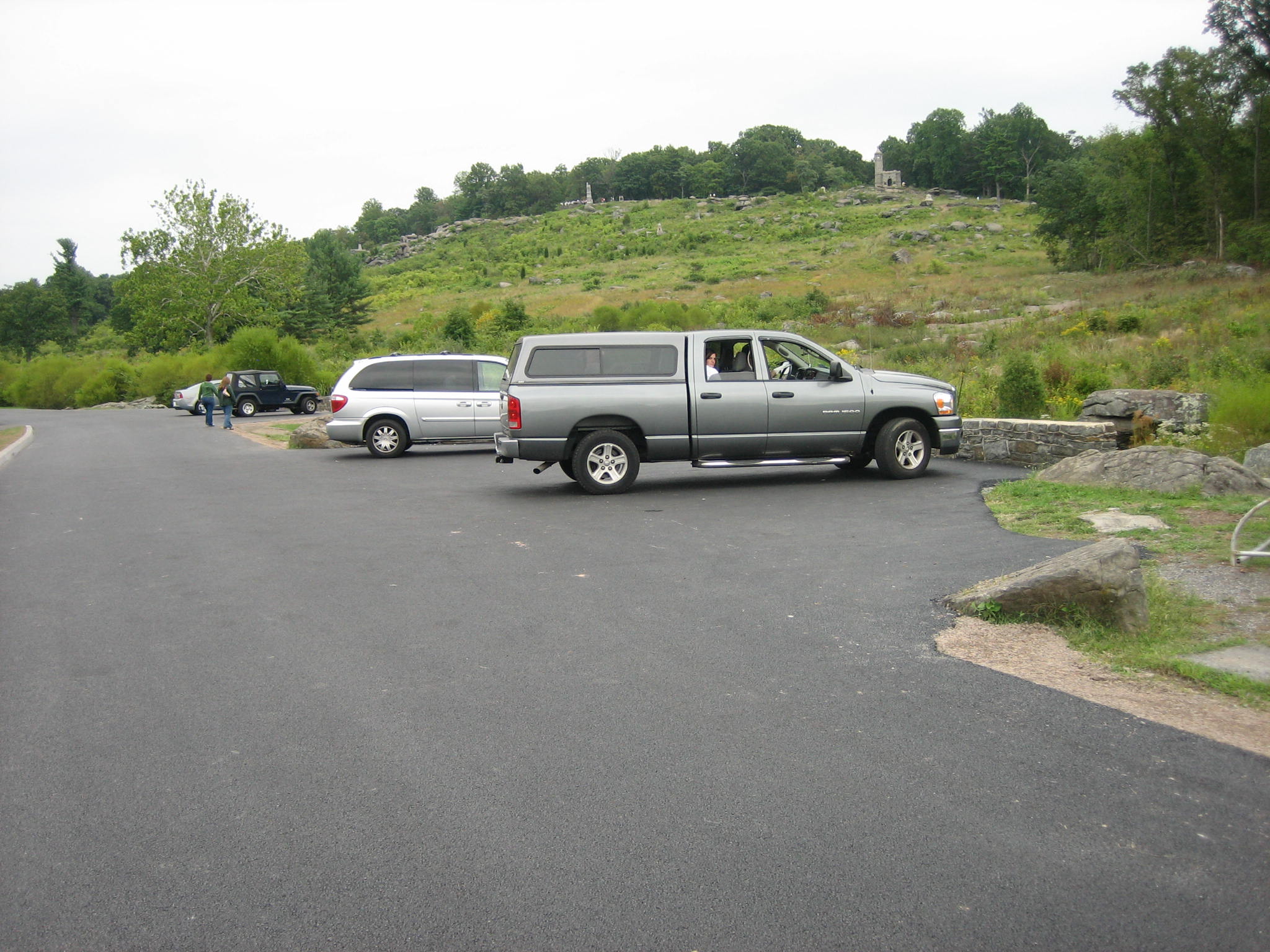
Unless they’re coming back to repaint, the handicapped parking spots in this area are gone. This view was taken from the southwest facing northeast at approximately 5:00 PM on Thursday, September 11, 2008.
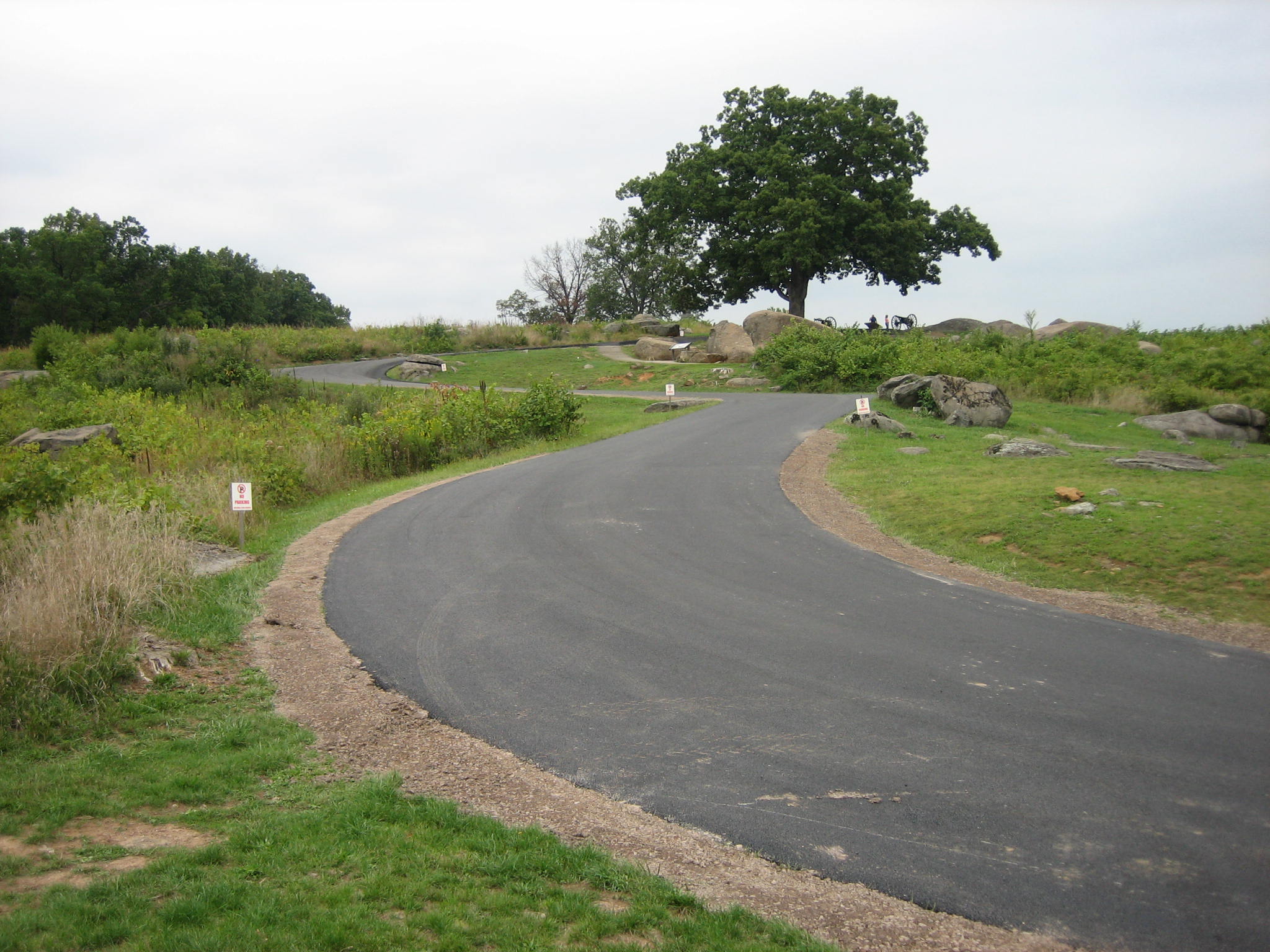
As we progress to the top of “The Den” we see the dirt and crushed stone berms on each side of the road. Looks good. This view was taken from the southwest facing northeast at approximately 5:00 PM on Thursday, September 11, 2008.
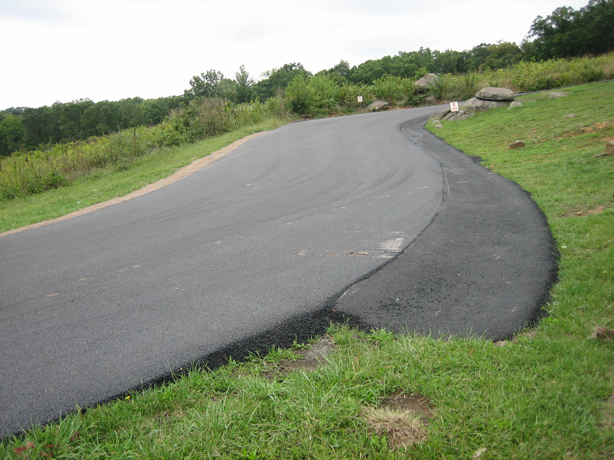
But as we progress farther up the hill two foot wide asphalt ditches begin to appear on the sides of the road. This view was taken from the south facing north at approximately 5:00 PM on Thursday, September 11, 2008.
One of the asphalt ditches is headed for the Devil’s Den Witness Tree at the top of the hill. The “sharpshooter’s” position is on the right. This view was taken from the southwest facing northeast at approximately 5:00 PM on Thursday, September 11, 2008.
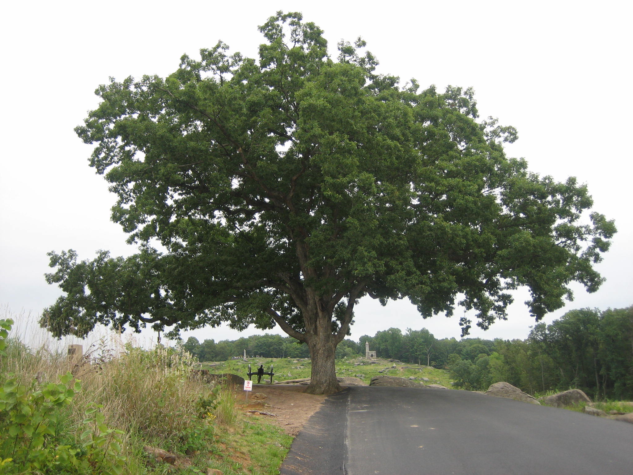
The ditch on the left (north) side of the road is headed directly towards the tree. This view was taken from the west facing east at approximately 5:00 PM on Thursday, September 11, 2008.
The asphalt goes right up to the tree, and now almost hems it in from three sides. It strikes us as interesting/inconsistent that the Park Service was very concerned about the welfare of the honey locust tree in the National Cemetery after it was struck by lightning. They flooded the airwaves of the national and local media about the event. Then they allow this to happen (in fact contracted for it to happen) to one of the few remaining witness trees to the battle. This view was taken from the southwest facing northeast at approximately 5:00 PM on Thursday, September 11, 2008.
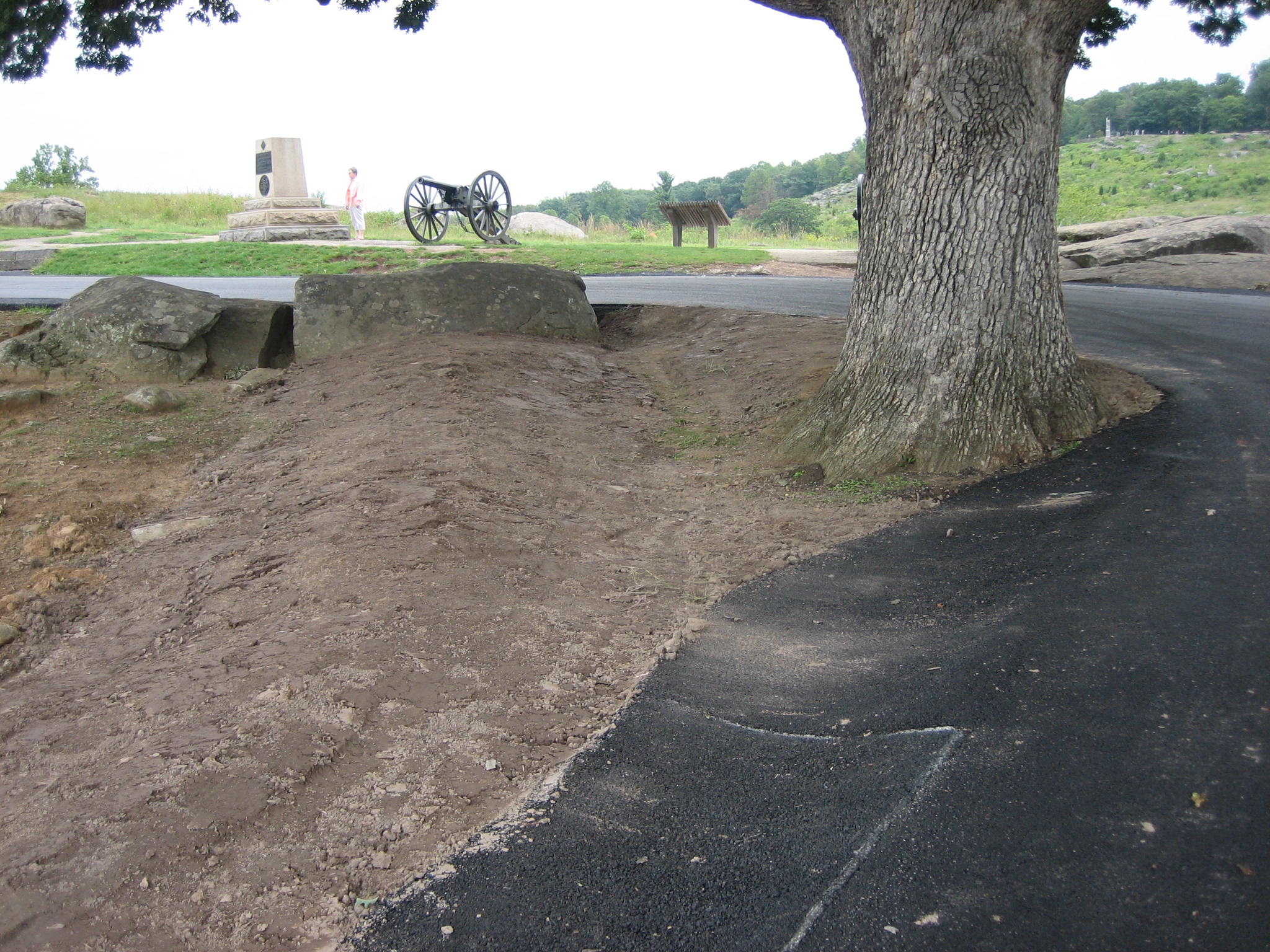
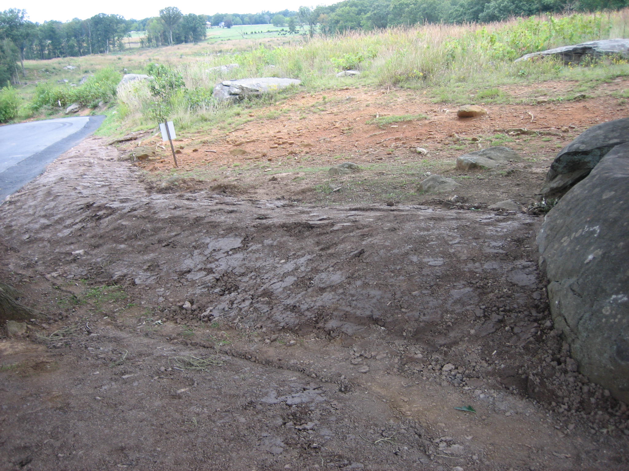
Also, earth was pushed to the north side of the witness tree constructing what appears to be an earthwork. This view was taken from the southwest facing northeast at approximately 5:00 PM on Thursday, September 11, 2008.
We are assuming that this “earthwork” is used to help with the drainage off the hill. It partially covers the rock to the left of the tree. From where did this earth come? Another part of the battlefield? This view was taken from the southwest facing northeast at approximately 5:00 PM on Thursday, September 11, 2008.
It sure will be entertaining in the months to come to hear visitors explaining how the soldiers not only hid behind the rocks, they built these earthworks in Devil’s Den. This view was taken from the northeast facing southwest at approximately 5:00 PM on Thursday, September 11, 2008.
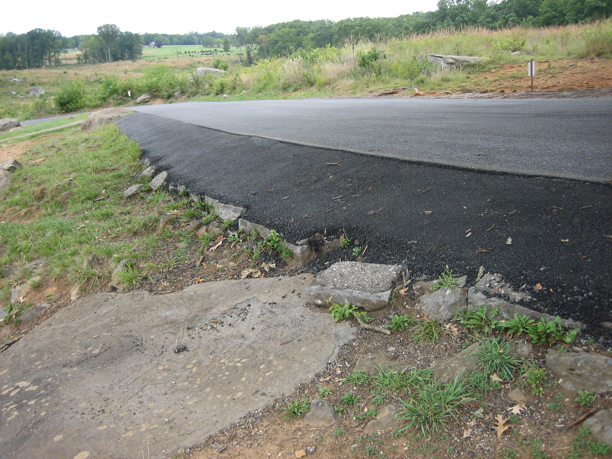
Near the Devil’s Den Witness Tree, on the south side of the road, stonework by the Civilian Conservation Corps to stablize the road used to be visible. But now asphalt covers most of it. This view was taken from the southwest facing northeast at approximately 5:00 PM on Thursday, September 11, 2008.
Just a few of the stones remain visible from this 1930s work. This view was taken from the northeast facing southwest at approximately 5:00 PM on Thursday, September 11, 2008.
In many places on the battlefield, the Park Service is very concerned about aesthetics. Here it must have been decided that it was cheaper just to asphalt over the stonework. This view was taken from the southwest facing northeast at approximately 5:00 PM on Thursday, September 11, 2008.
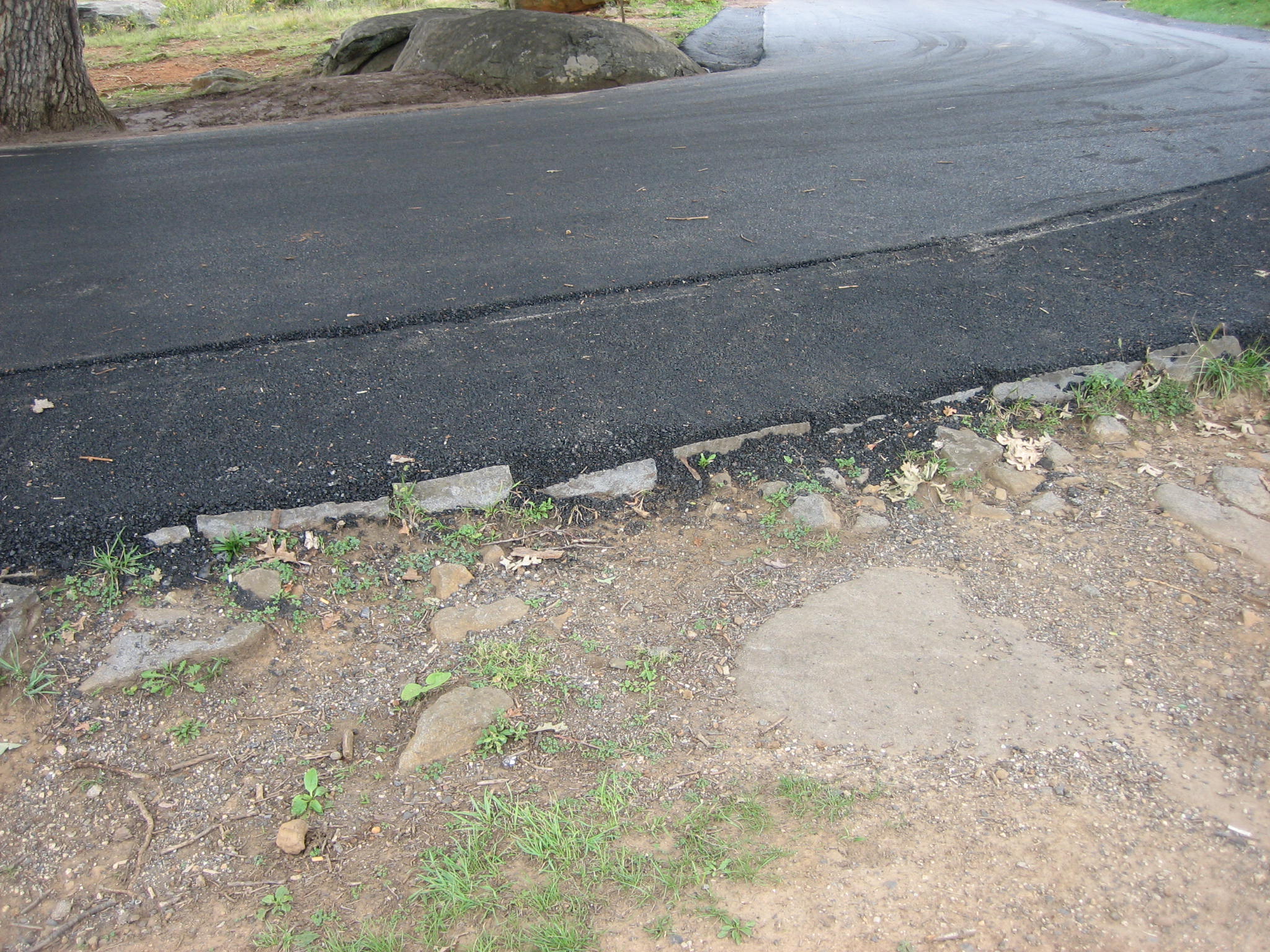
This is just one of many incidents where the asphalt goes right around the rocks for no apparent reason. This view was taken from the southwest facing northeast at approximately 5:00 PM on Thursday, September 11, 2008.