
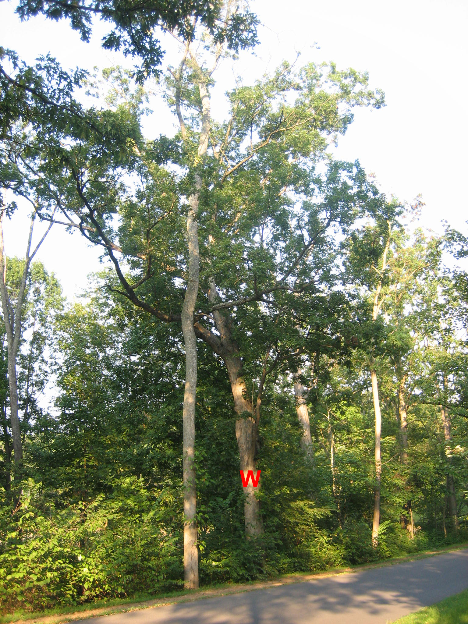
This Gettysburg Witness Tree (with the red “W” for “Witness”) along South Confederate Avenue appears to be healthy. The tree is in the area of Farnsworth’s Charge on the afternoon of July 3, 1863. This view was taken from the southwest facing northeast at approximately 5:30 PM on Monday, September 8, 2008.
A Gettysburg Witness Tree which was present at the time of Farnsworth’s Charge on July 3, 1863, contains a cable which once was used to ground a lightning rod. The tree is on the north side of South Confederate Avenue. Please see our previous posts on Gettysburg Witness Trees on April 30, 2008, May 27, 2008, August 10, 2008, August 12, 2008, August 16, 2008, and August 27, 2008.

To find the tree, go to South Confederate Avenue below (east of) the Confederate Soldiers and Sailors Monument (see our post of this monument on March 22, 2008), and the Alabama State Monument (see our post of this monument on April 20, 2008). Start in the area of the marker to Reilly’s North Carolina Battery. The top of Big Round Top is the tallest trees in the background. This view was taken from the southwest facing northeast at approximately 5:30 PM on Monday, September 8, 2008.
Proceed downhill as Law’s Alabama Brigade did on July 2, 1863 as some of them advanced towards the Round Tops, and the rest of the unit advanced to Devil’s Den. You will recognize the marker on the right… This view was taken from the southwest facing northeast at approximately 5:30 PM on Monday, September 8, 2008.

…It is the marker that shows the area of the right flank of the Army of Northern Virginia on July 2, 1863. This view was taken from the west facing east at approximately 5:30 PM on Monday, September 8, 2008.
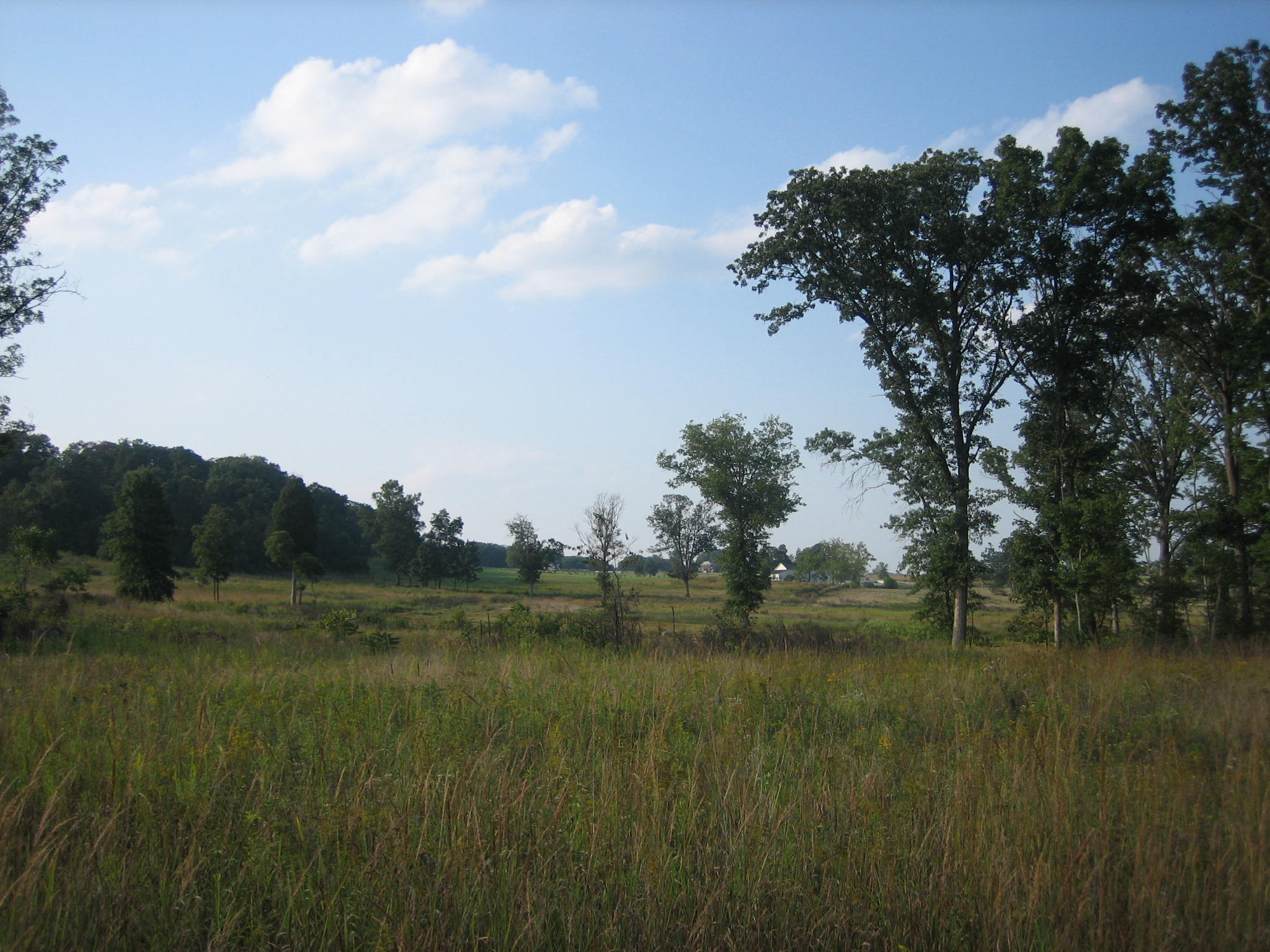
The Bushman Barn is the white building across the fields to the left. See our post of the Bushman Farm on April 18, 2008. This view was taken from the south facing north at approximately 5:30 PM on Monday, September 8, 2008.
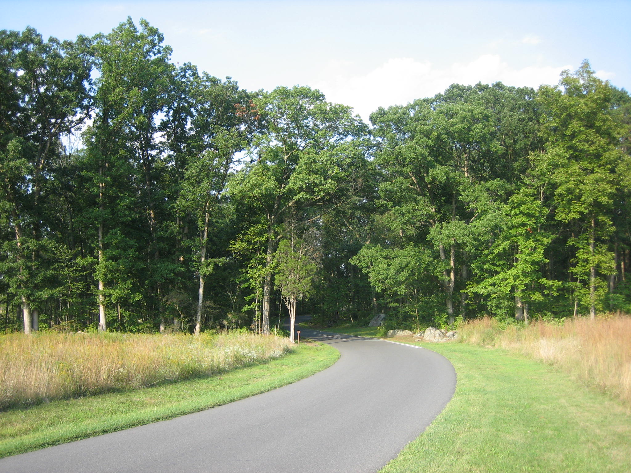
Approach the woodline at the bottom of the hill. This view was taken from the west facing east at approximately 5:30 PM on Monday, September 8, 2008.

As you enter the woodline… This view was taken from the west facing east at approximately 5:30 PM on Monday, September 8, 2008.
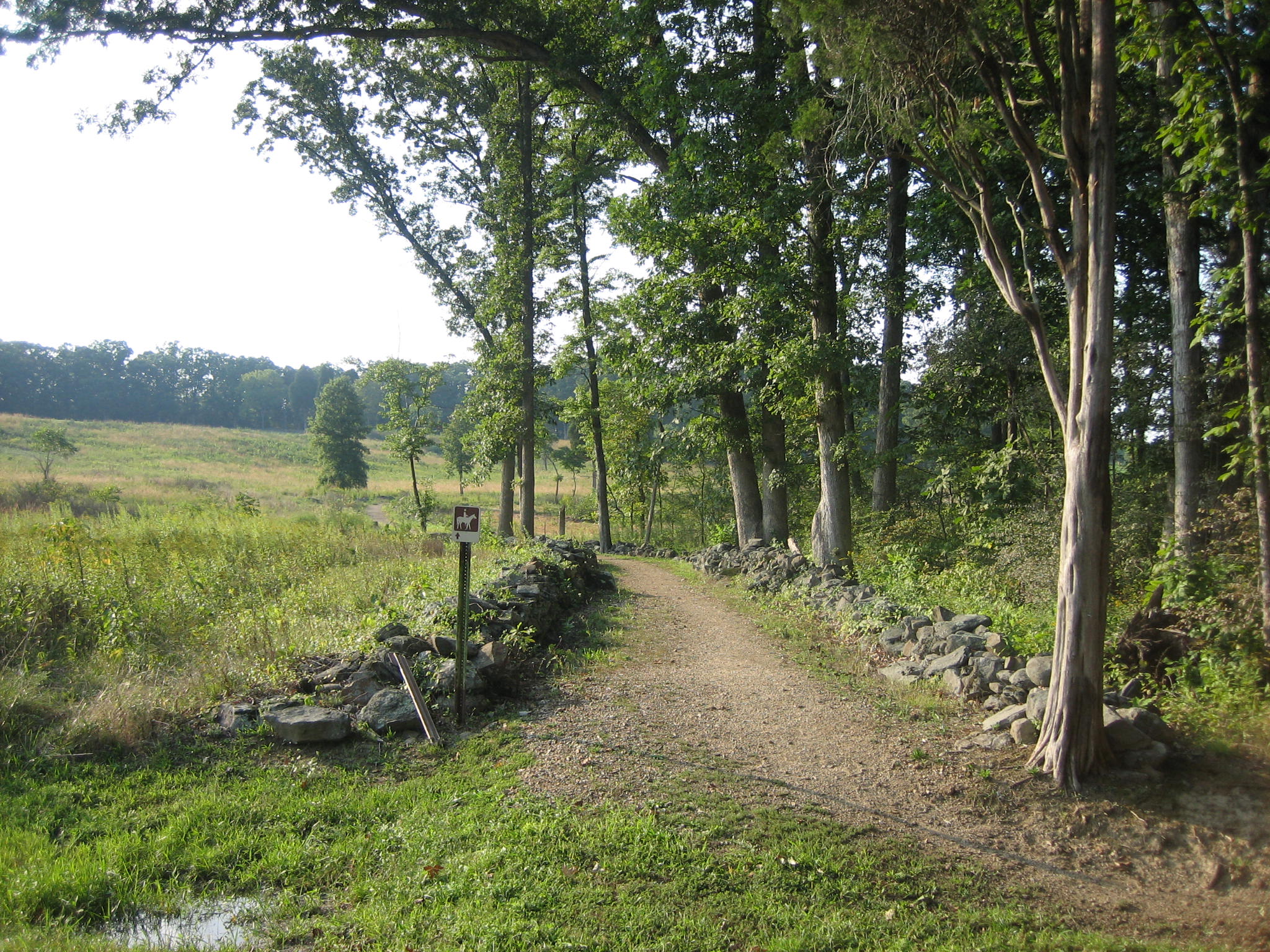
…the horse trail and stone walls are on the left… This view was taken from the southeast facing northwest at approximately 5:30 PM on Monday, September 8, 2008.

…and the horse trail and stone walls are on the right… This view was taken from the northwest facing southeast at approximately 5:30 PM on Monday, September 8, 2008.

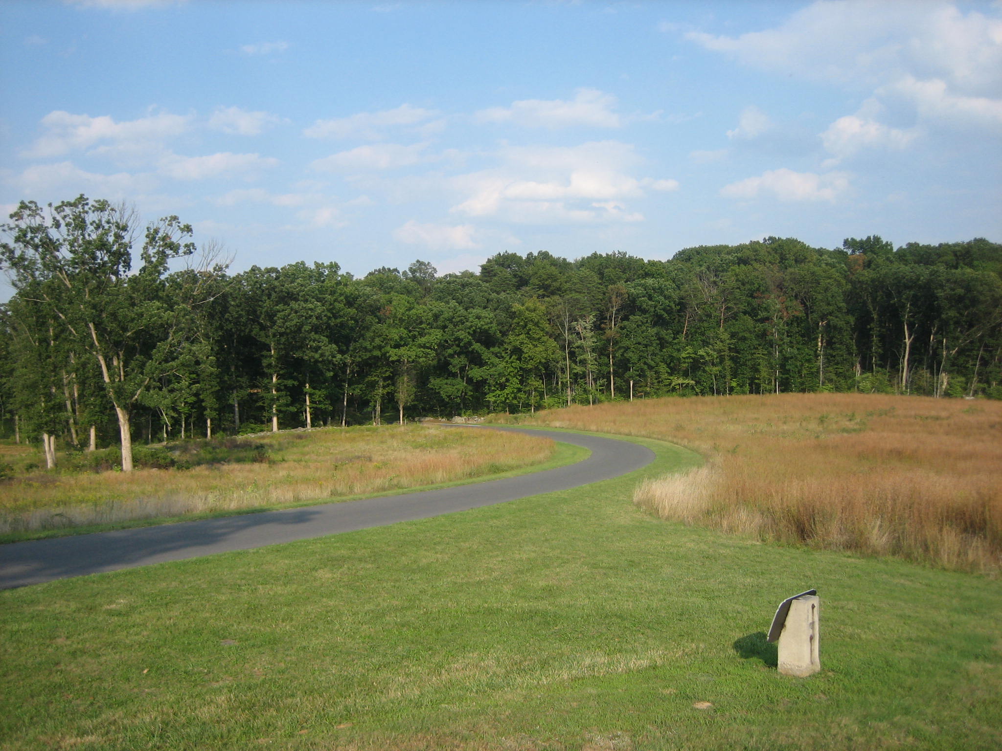
Continue past the parking spaces and go around the curve. This view was taken from the southwest facing northeast at approximately 5:30 PM on Monday, September 8, 2008.
As you come out of the curve, a marker will be on the right… This view was taken from the southwest facing northeast at approximately 5:30 PM on Monday, September 8, 2008.
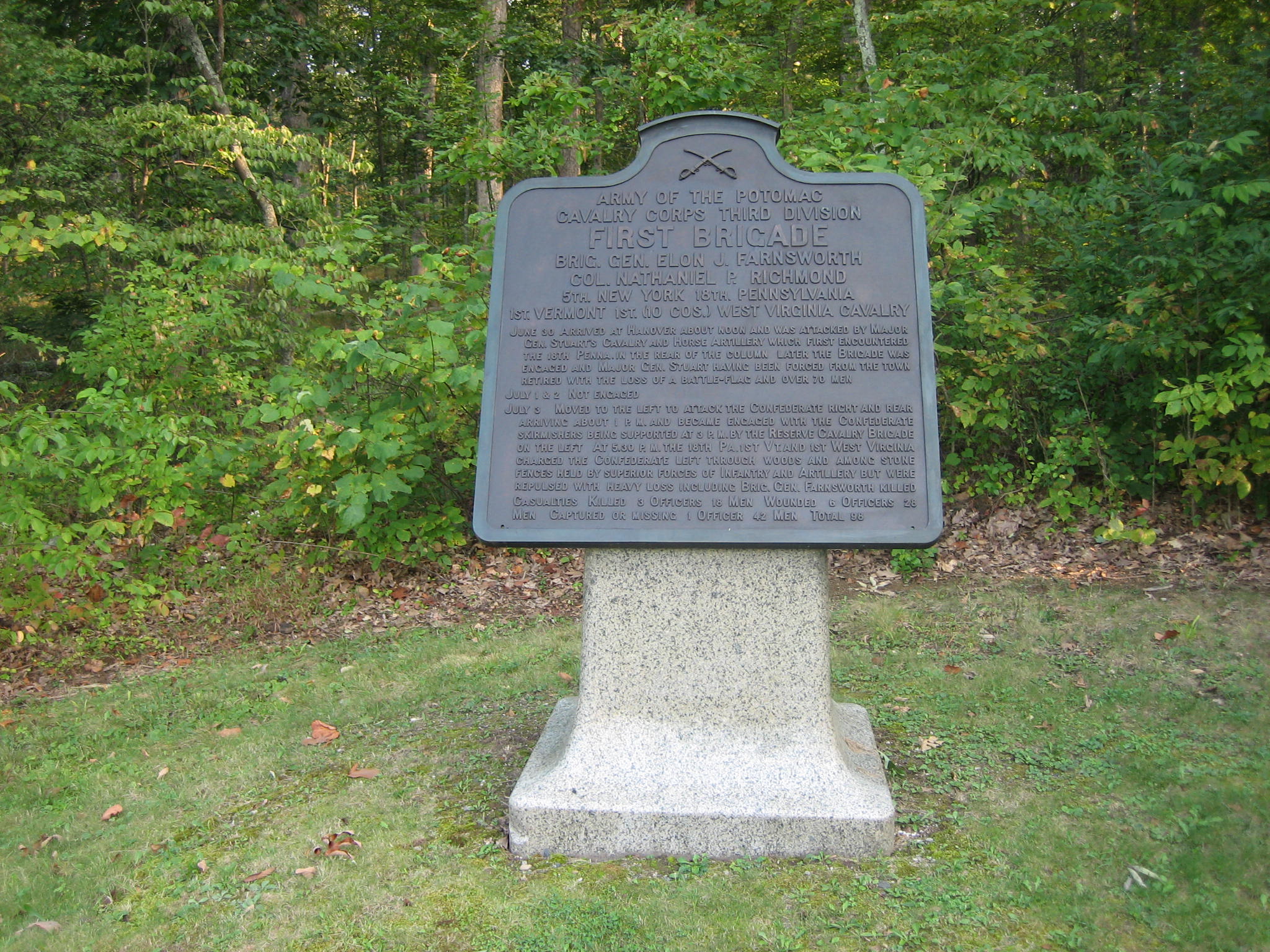
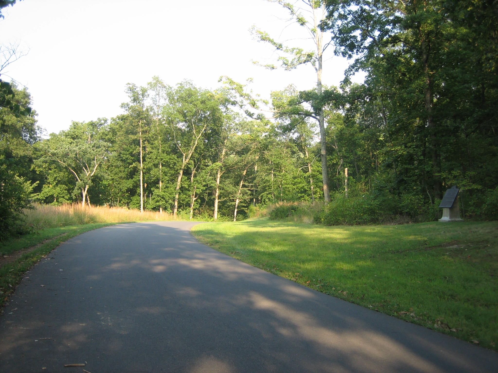
…This is the marker to Farnsworth’s Brigade. This view was taken from the north facing south at approximately 5:30 PM on Monday, September 8, 2008.
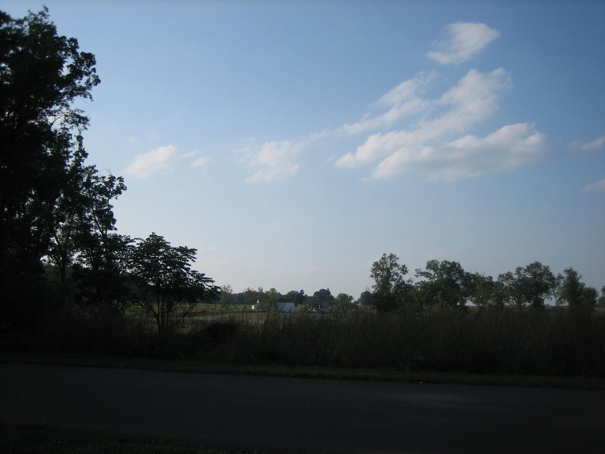
To the left is an open area where one can see the white Bushman Barn in the distance. Did we tell you about our post of the Bushman Farm on April 18, 2008? This view was taken from the southeast facing northwest at approximately 5:30 PM on Monday, September 8, 2008.

You are going to enter another group of trees. There is another marker on the right… This view was taken from the southwest facing northeast at approximately 5:30 PM on Monday, September 8, 2008.
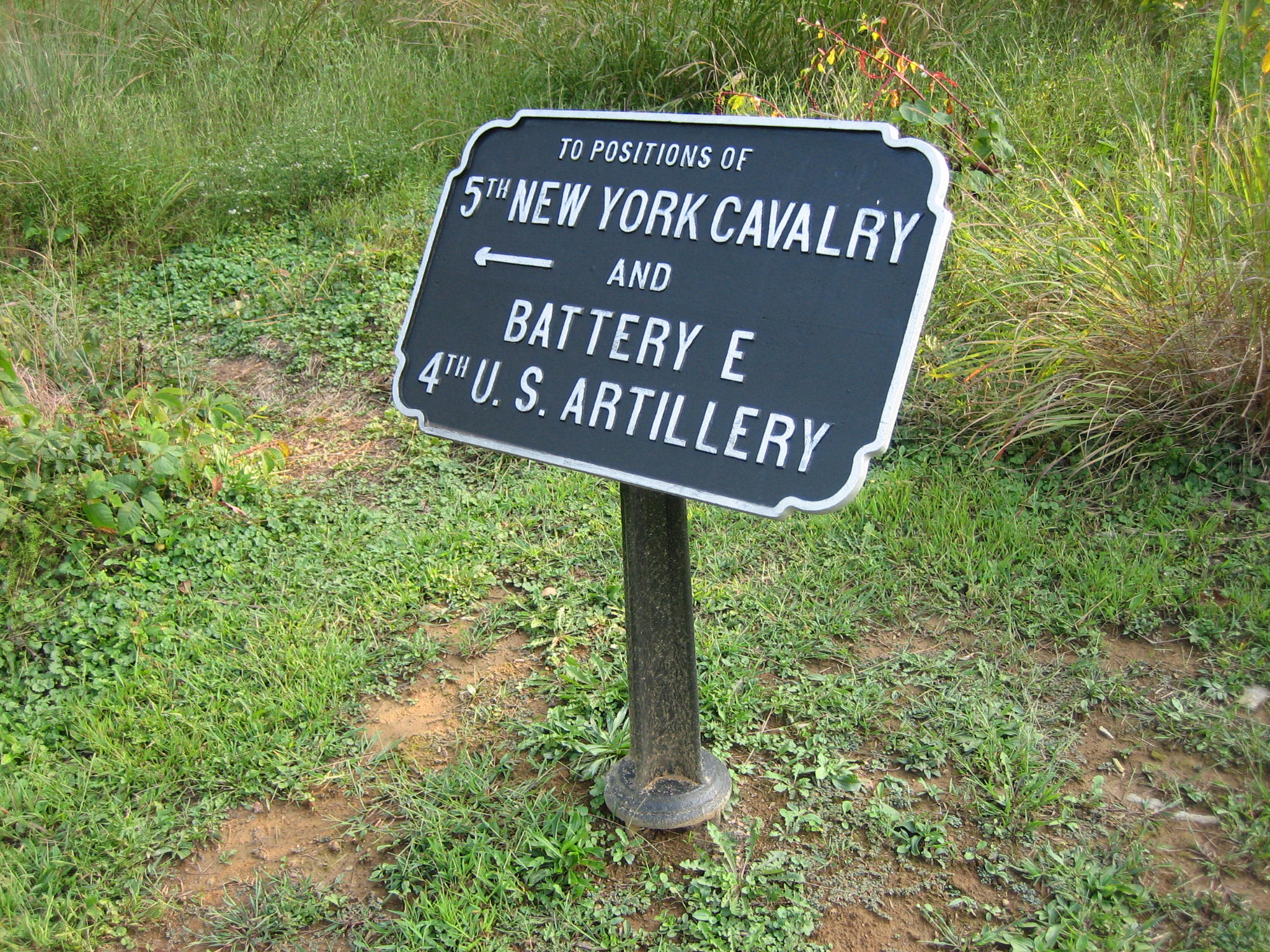
… a directional sign pointing up a trail to the 5th New York Cavalry and Elder’s Battery E, 4th US Artillery. This view was taken from the north facing south at approximately 5:30 PM on Monday, September 8, 2008.

Our Farnsworth Charge Witness Tree is just ahead with its red “W.” This view was taken from the southwest facing northeast at approximately 5:30 PM on Monday, September 8, 2008.
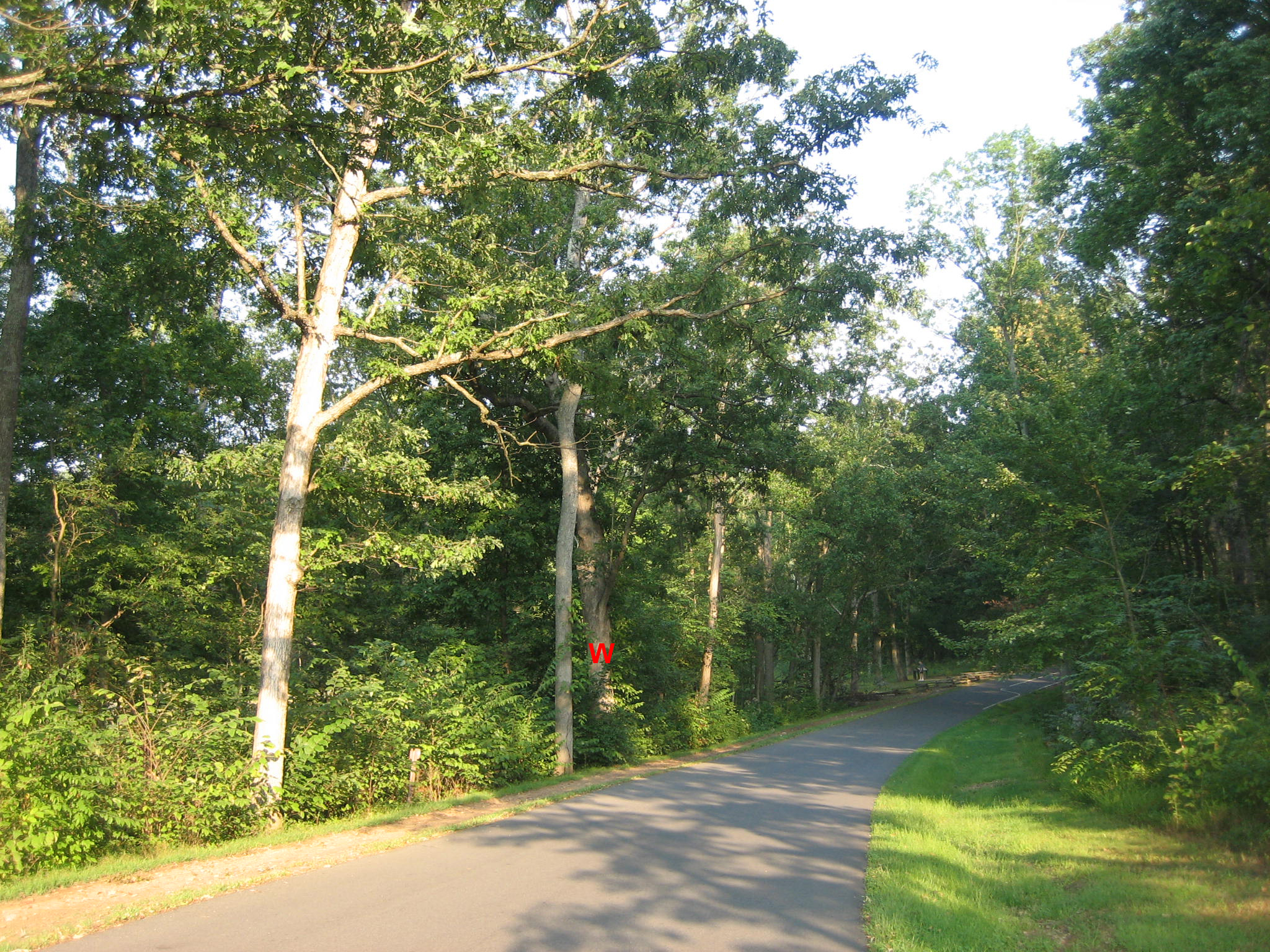
The tree is just to the right of a younger and lighter colored tree. This view was taken from the southwest facing northeast at approximately 5:30 PM on Monday, September 8, 2008.
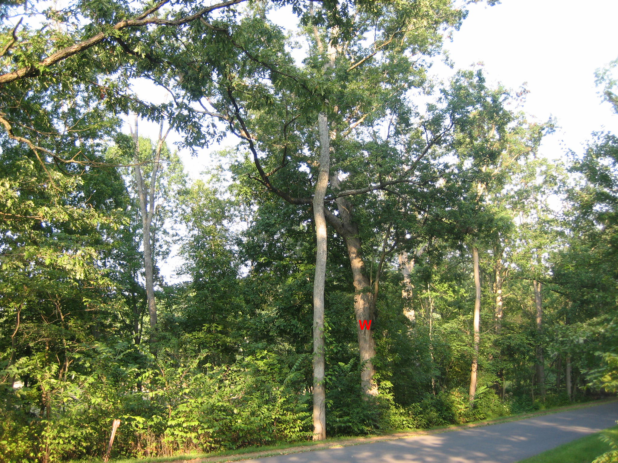
Once you find the area, its pretty easy to distinguish this tree from the others around it. This view was taken from the southwest facing northeast at approximately 5:30 PM on Monday, September 8, 2008.

This tree is large… This view was taken from the south facing north at approximately 5:30 PM on Monday, September 8, 2008.
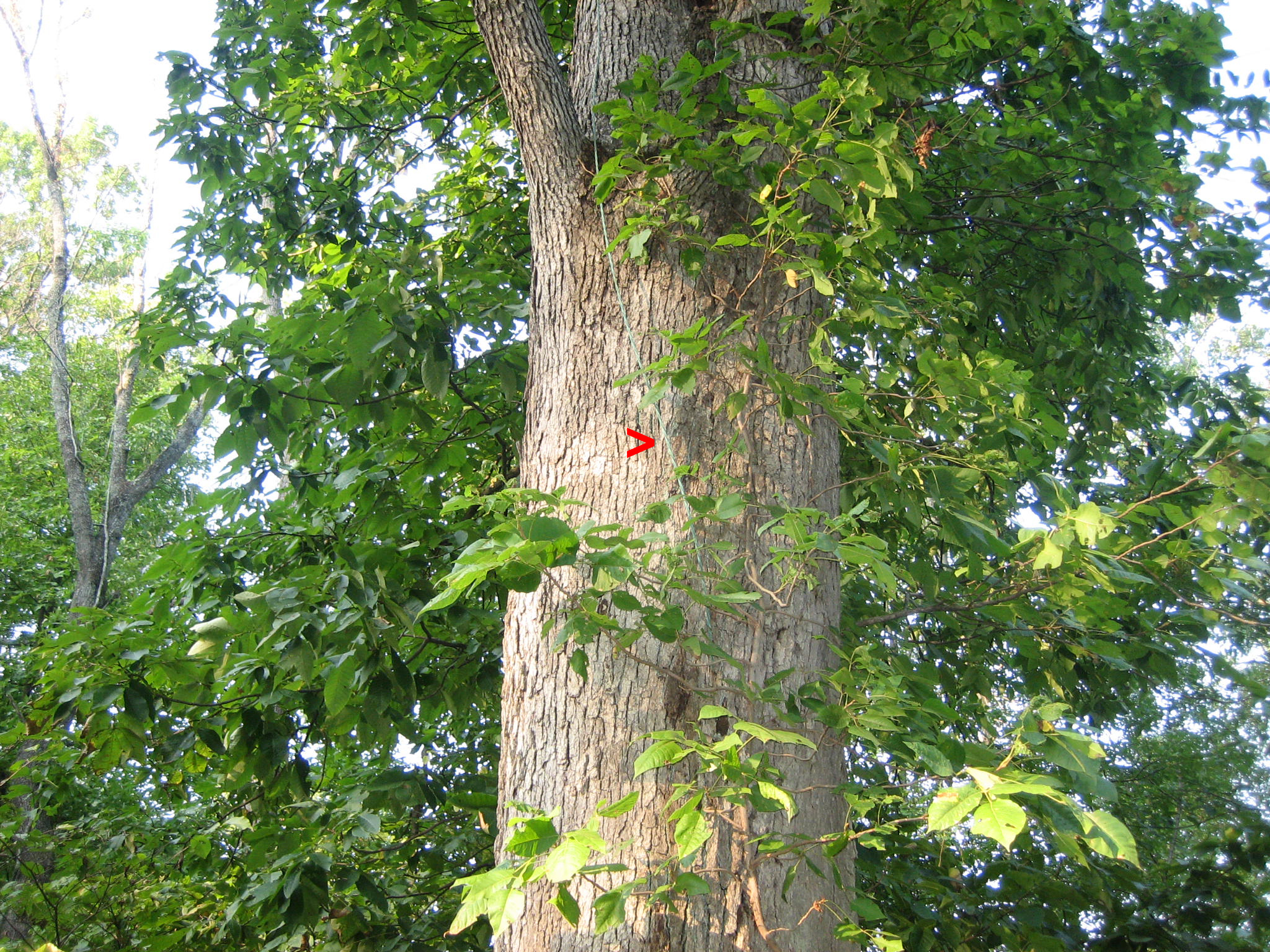
…and it contains one of those telltale signs of Gettysburg Witness Trees: A green cable which was placed to ground a lightning rod. This view was taken from the south facing north at approximately 5:30 PM on Monday, September 8, 2008.
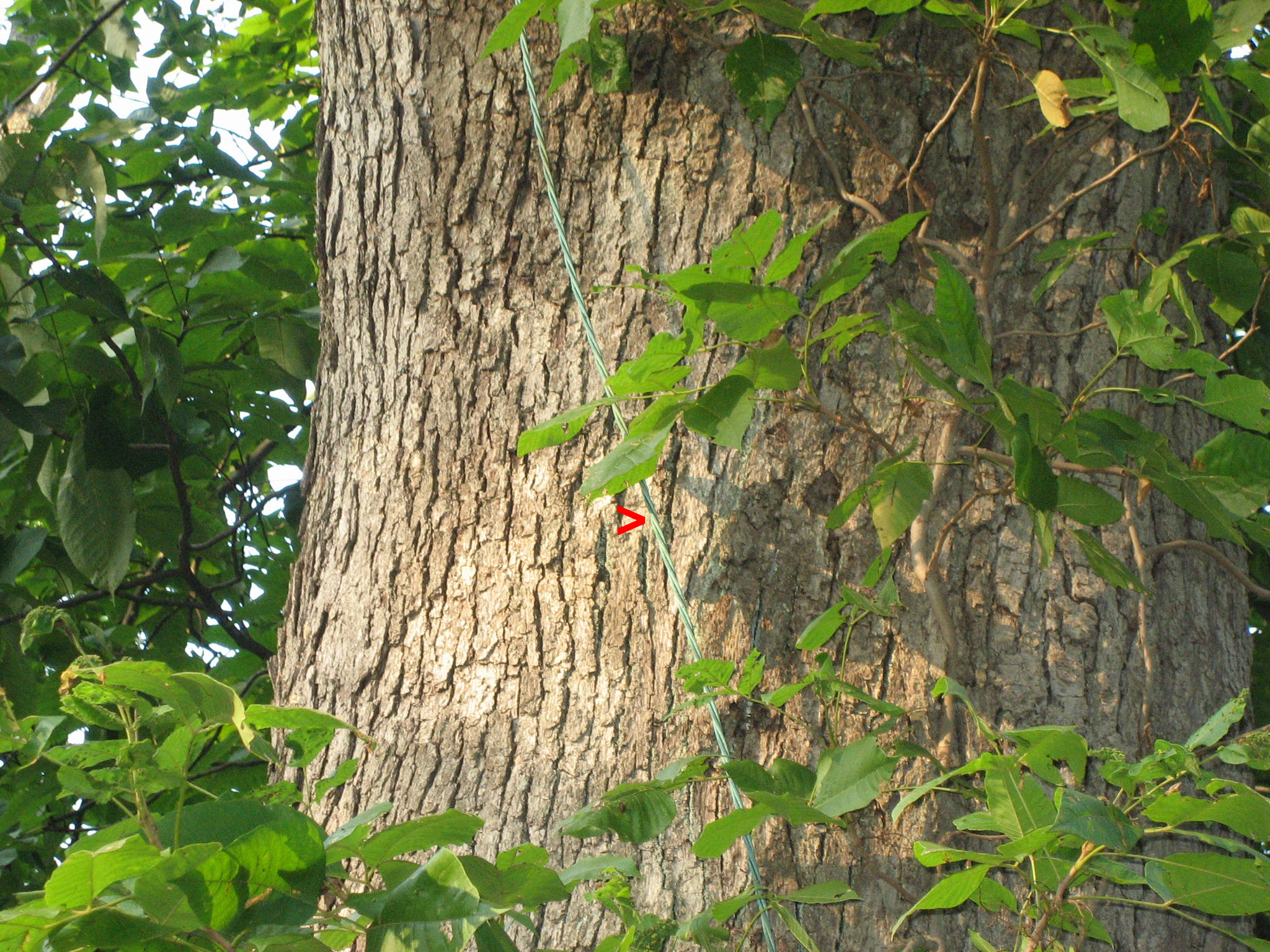
Although this cable is newer looking than some of the older cables on battlefield witness trees, the War Department took special care to make sure these trees were not hit by lightening. It is speculated that they were concerned about setting off unexploded ordinance from the battle. This view was taken from the south facing north at approximately 5:30 PM on Monday, September 8, 2008.

By the way, if on your journey to find this tree, if you reach these markers overlooking the fields of the Slyder Farm, you’ve gone too far. This view was taken from the south facing north at approximately 5:30 PM on Monday, September 8, 2008.

One marker explains Farnsworth Charge. This view was taken from the southwest facing northeast at approximately 5:30 PM on Monday, September 8, 2008.
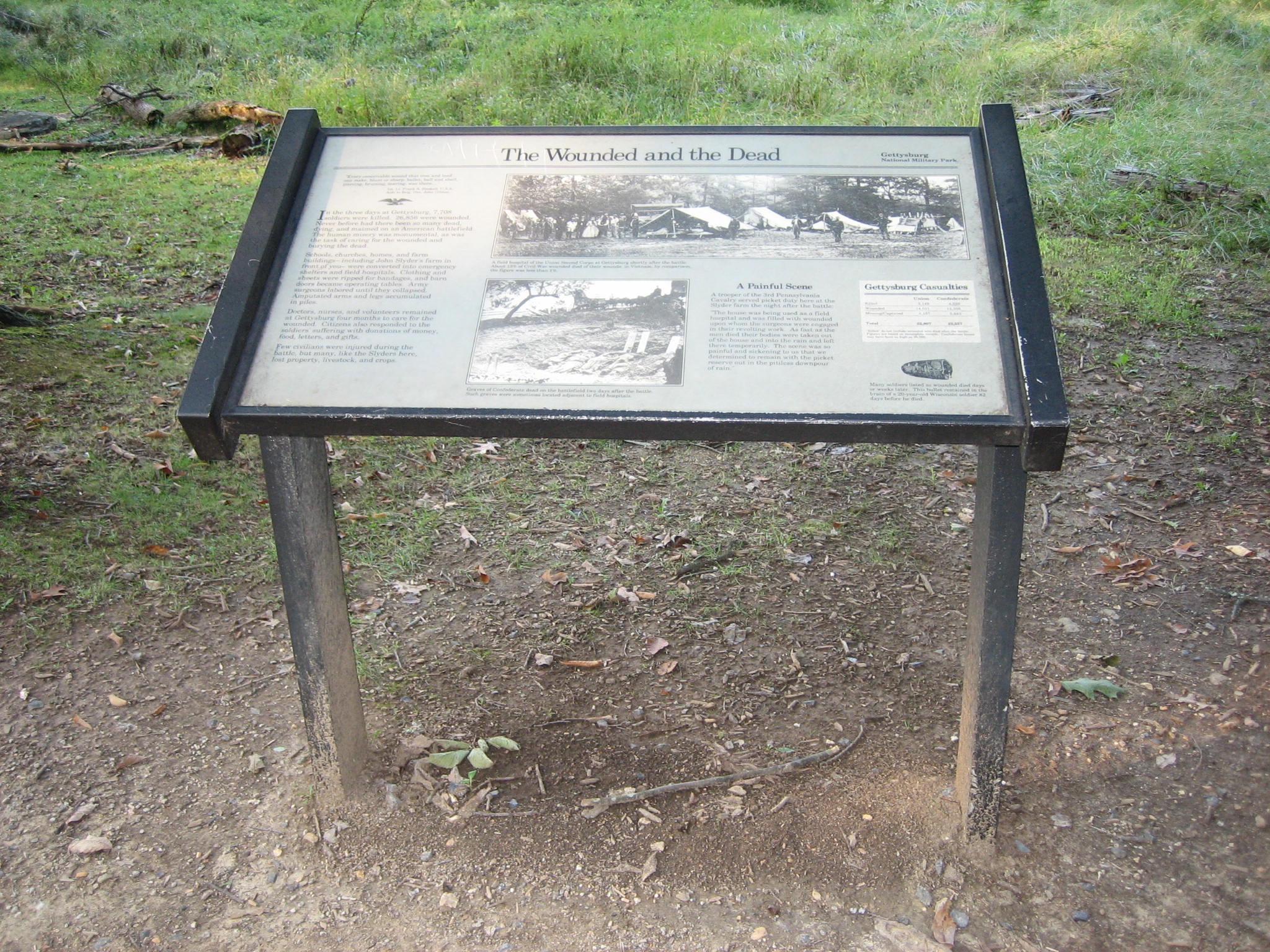
The other marker talks about Gettysburg Hospitals. This view was taken from the south facing north at approximately 5:30 PM on Monday, September 8, 2008.

But back to our tree. Although we can’t find a War Department Tag or spike in this tree, it currently contains another gem… This view was taken from the southeast facing northwest at approximately 5:30 PM on Monday, September 8, 2008.
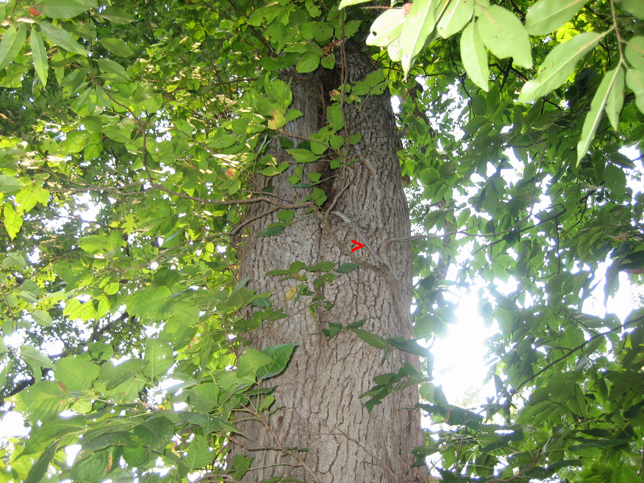
There is a large, approximately 5′ long snake skin hanging out of a hole on the east side of the tree. This view was taken from the east facing west at approximately 5:30 PM on Monday, September 8, 2008.
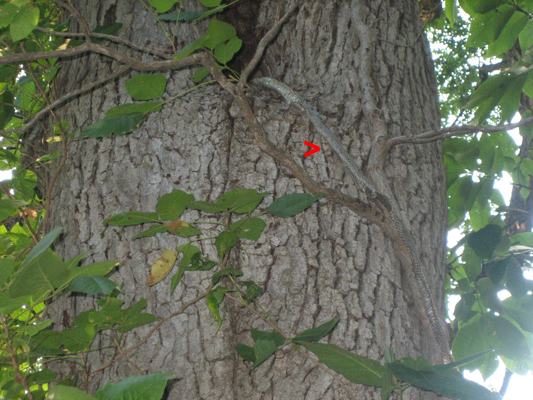
Yes, a snake skin. This view was taken from the east facing west at approximately 5:30 PM on Monday, September 8, 2008.

But the easiest way to sight this tree is to look for the green cable on the trunk. This view was taken from the southwest facing northeast at approximately 5:30 PM on Monday, September 8, 2008.

If you’re still confused, you can use this map. Special thanks to Licensed Battlefield Guide Tim Fulmer for the suggestion to start providing some maps to our readers so they can get their bearings.