Horse Trail Construction Near South Confederate Avenue
August 14, 2009
A horse trail is being constructed on the south slope of Big Round Top. When the horse trail is very visible along South Confederate Avenue care has been taken not to disturb trees or rocks. When the horse trail is out of site of most of the viewing public, however, trees and rocks had to make way for the construction. This view was taken facing southeast at approximately 2:30 PM on Wednesday, August 12, 2009.
A Horse Trail is being constructed on the south end of the Battlefield near South Confederate Avenue. Some of the trail follows an existing trail in the area. The rest of the trail is supposed to follow “old” South Confederate Avenue. Katie Lawhon, the National Park Service Spokesperson responded to our inquiry about the construction with the following: Park maintenance is working on a project to reroute a section of the horse/hiking trail within Gettysburg National Military Park. We will be moving the trail onto the old route of South Confederate Avenue and then it will join up with the Slyder farm lane and follow lanes toward Emmitsburg Road. The park’s General Management Plan called for moving this trail wherever possible onto old transportation routes.”
It appears to us that sometimes it was not possible to move the trail onto old transportation routes because a large section appears to have been cut through the woods where the road/trail that previously did exist was significantly wider than it was before this reconstruction.
This map shows the route of the newly constructed horse trail. We have placed the trail in red. This map was made facing north at approximately 3:30 PM on Wednesday, August 12, 2009.
We will start our tour of the trail from Warfield Ridge/Seminary Ridge. Some of the construction equipment and materials are at the bottom of the ridge. This view was taken facing northeast at approximately 2:30 PM on Wednesday, August 12, 2009.
As we leave the ridge, we have a closer view of the materials and the equipment. This view was taken facing northeast at approximately 2:30 PM on Wednesday, August 12, 2009.
At the edge of the woodline, the horse trail approaches South Confederate Avenue from the area of the Bushman Farm. This photograph was taken facing northwest at approximately 2:30 PM on Wednesday, August 12, 2009.
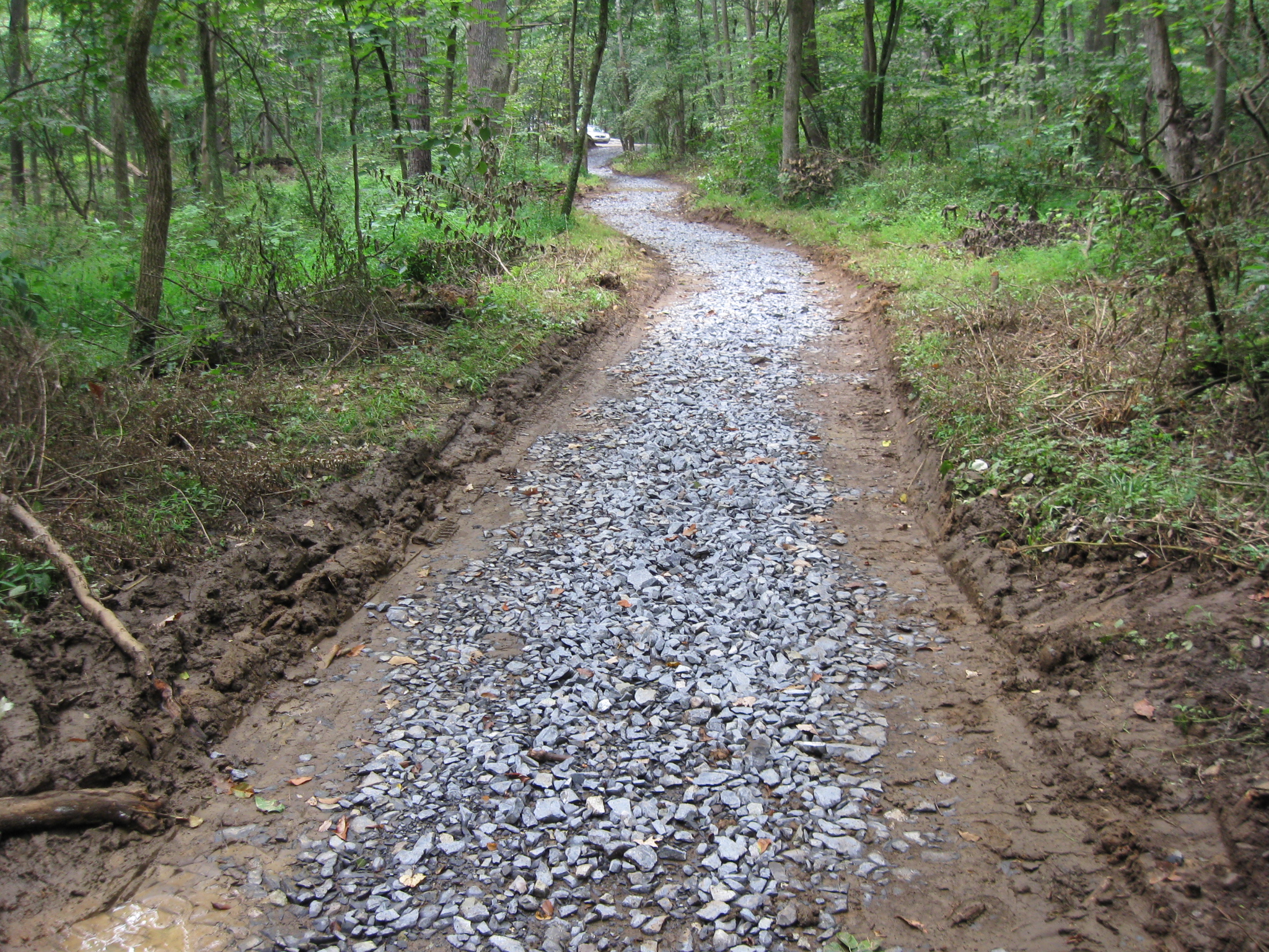
Instead of crossing South Confederate Avenue here, the horse trail now is located on the north side of South Confederate Avenue. The dirt currently covers the crushed rock base as far as the curve in the distance…This photograph was taken facing northeast at at approximately 2:30 PM on Wednesday, August 12, 2009.
…until it reaches this point where there is only the rock base. This photograph was taken facing west at approximately 2:30 PM on Wednesday, August 12, 2009.
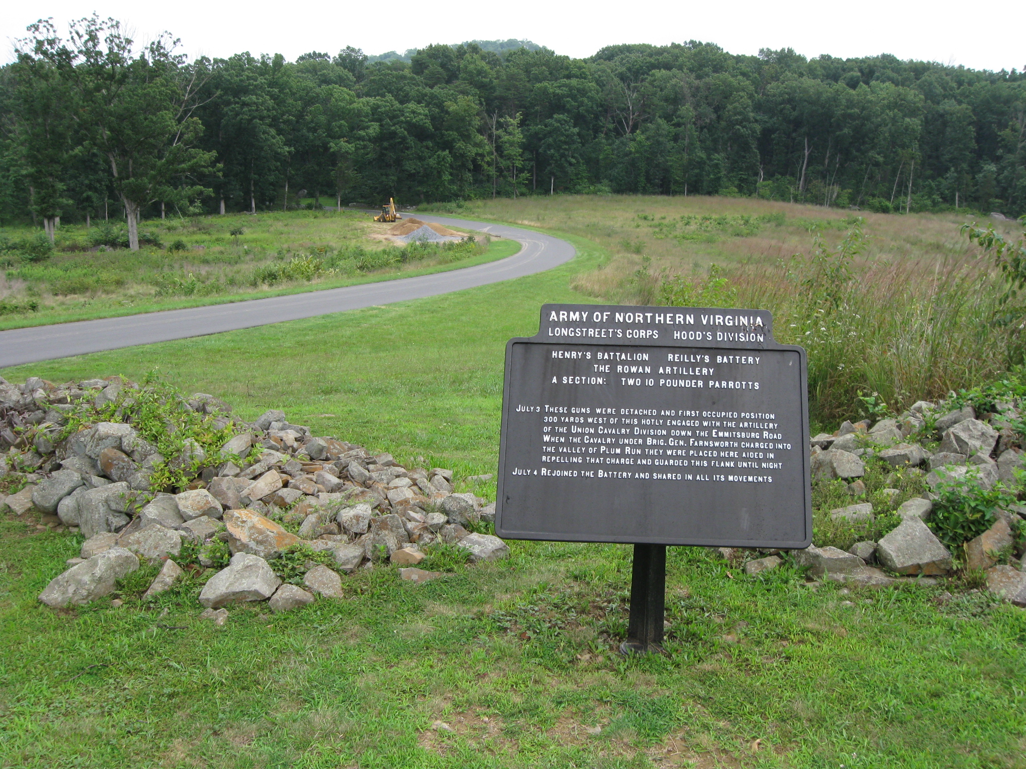
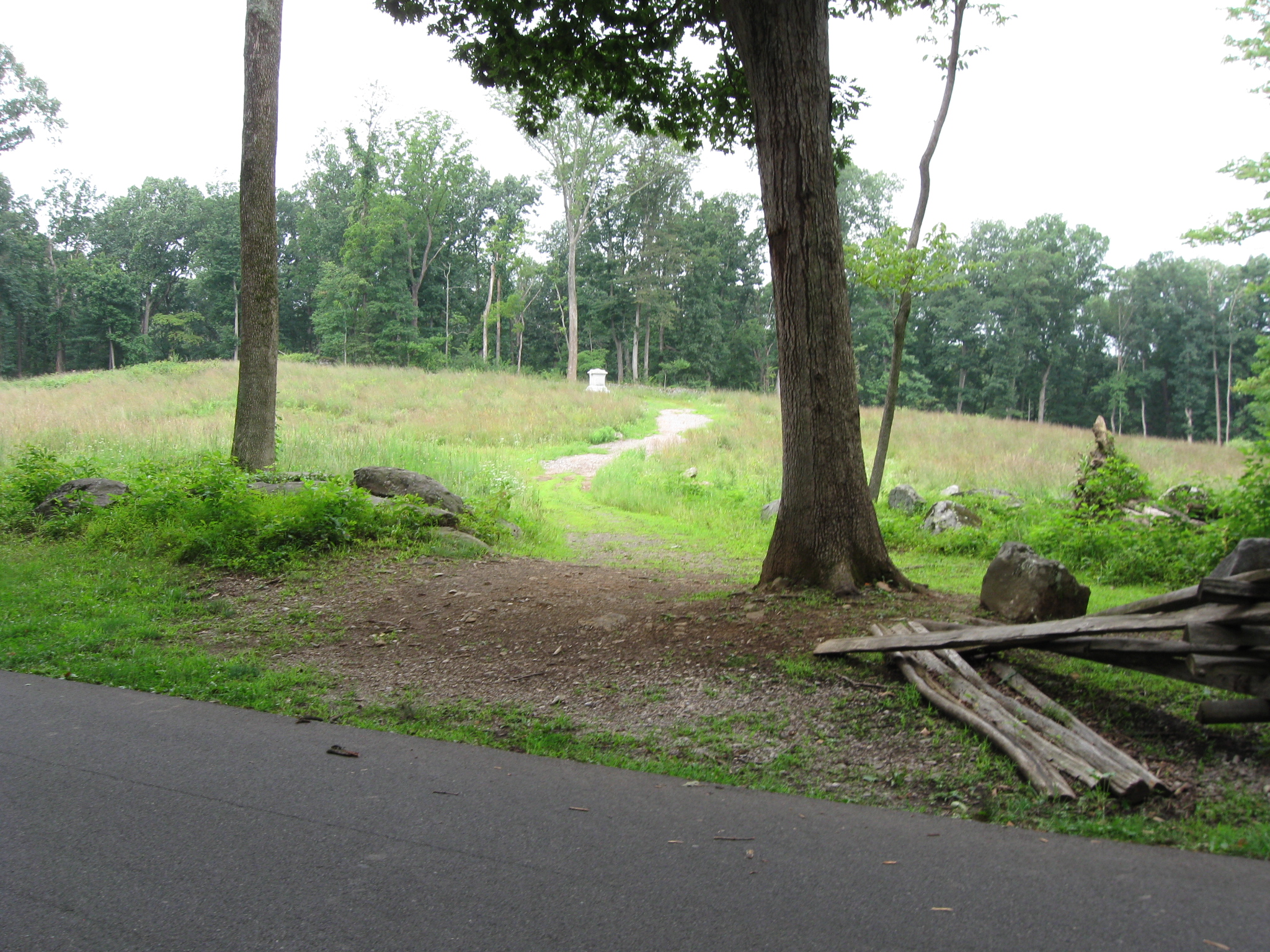
To give you an idea of where we are, the marker for Farnsworth’s Cavalry Brigade is on the south side of South Confederate Avenue… This photograph was taken facing south at approximately 2:30 PM on Wednesday, August 12, 2009.
… and the Slyder Farm is also visible in this area. This photograph was taken facing north at approximately 2:30 PM on Wednesday, August 12, 2009.
We will continue out of this small clearing, and back into the woods. This photograph was taken facing east at approximately 2:30 PM on Wednesday, August 12, 2009.
We are now approaching the parking area for some waysides. This view was taken facing southeast at approximately 2:30 PM on Wednesday, August 12, 2009.
The waysides, on the left side of the road, describe the Caring for the Wounded, and Farnsworth’s Charge on July 3, 1863. After the wayside, the trail starts to get interesting. This view was taken facing southeast at approximately 2:30 PM on Wednesday, August 12, 2009.
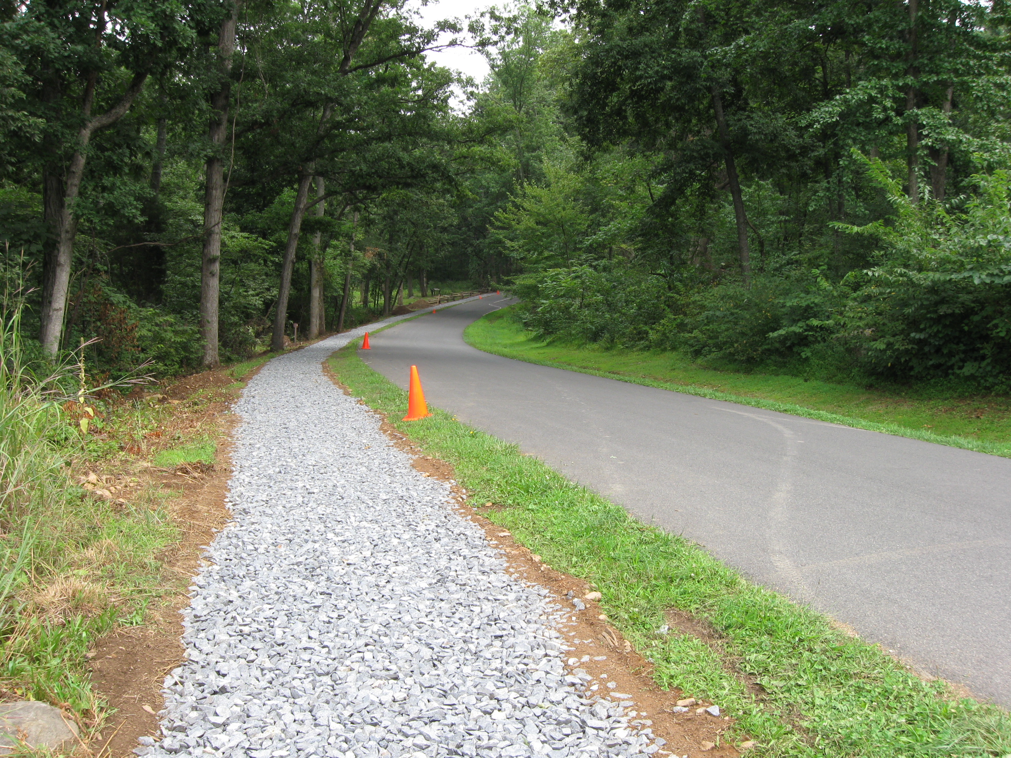
Look how much they care about the tree and rocks in this area. The trail is much narrower here to get between the tree/rocks and South Confederate Avenue. This view was taken facing southeast at approximately 2:30 PM on Wednesday, August 12, 2009.
As we approach the William Wells statue on the right side of Confederate Avenue, again the trail is narrowed to get between the trees/rocks and the avenue. This view was taken facing southeast at approximately 2:30 PM on Wednesday, August 12, 2009.
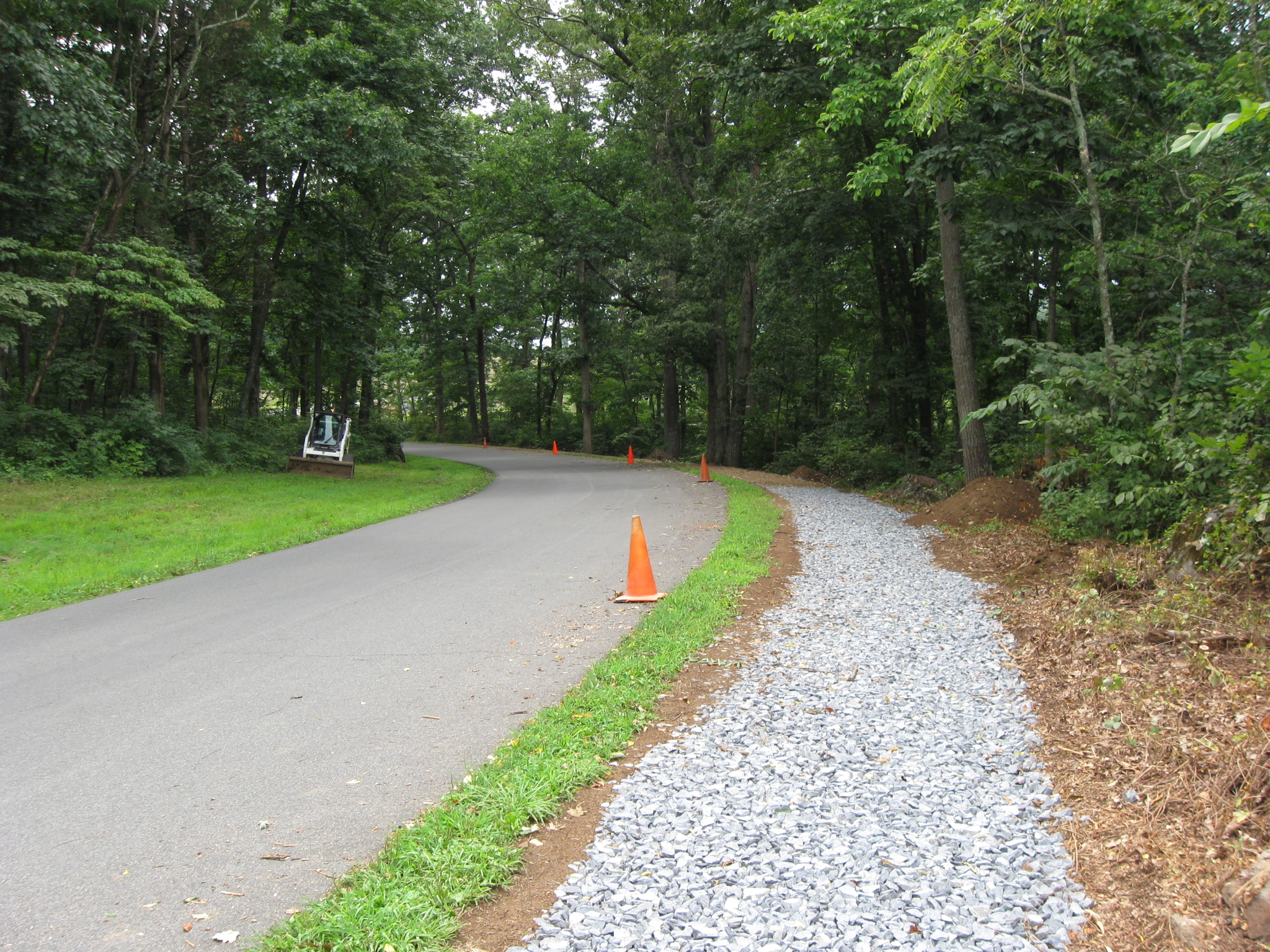
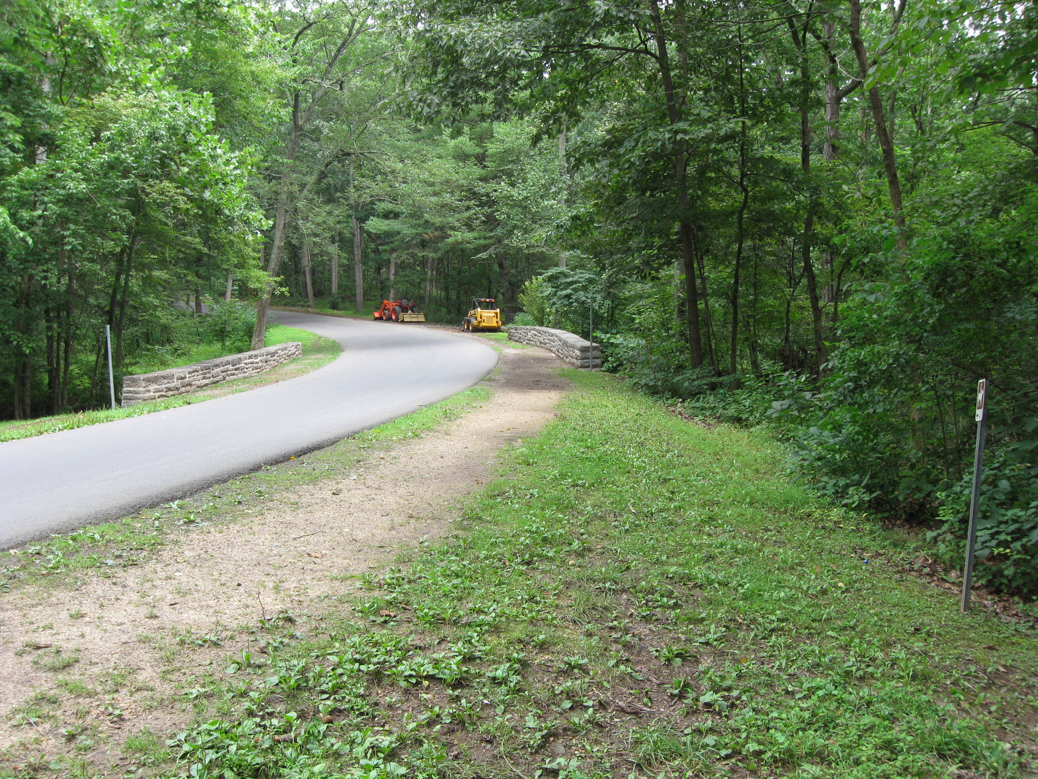
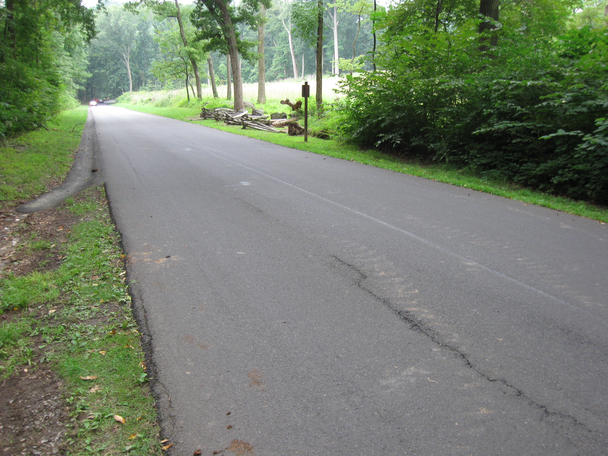
The trail widens out again as we approach the bridge over Plum Run. This view was taken facing southeast at approximately 2:30 PM on Wednesday, August 12, 2009.
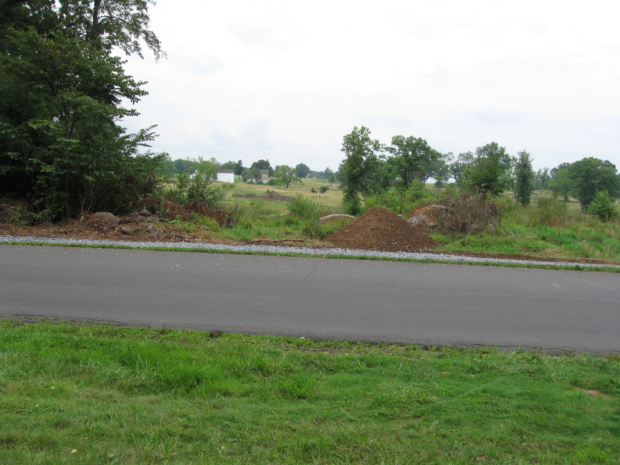
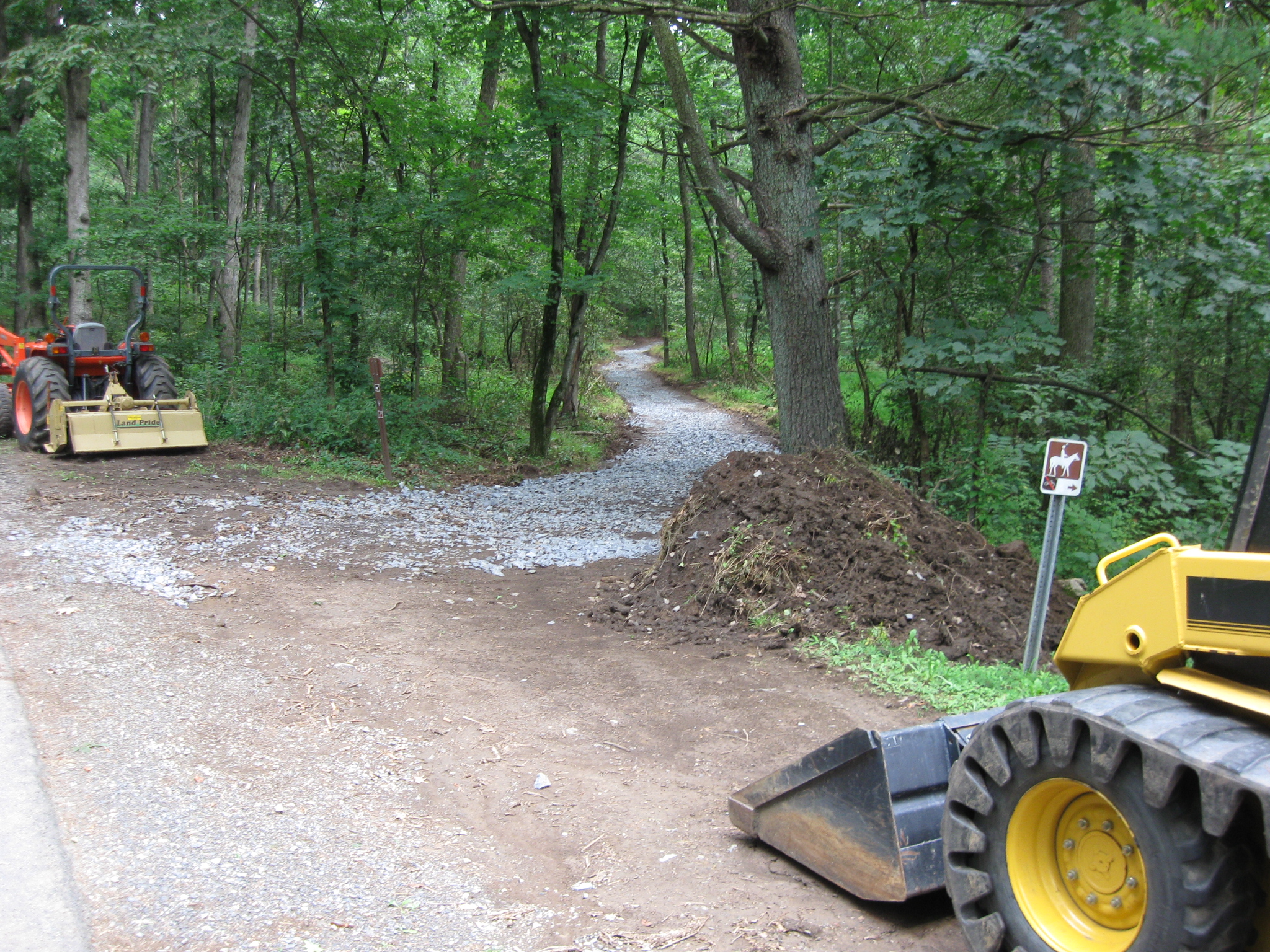
At this pile of topsoil/mulch, the horse trail sign directs us to cross South Confederate Avenue. This view was taken facing southeast at approximately 2:30 PM on Wednesday, August 12, 2009.
We can’t go into the woods where the sign points us to the monument to the 5th New York Cavalry Regiment. This view was taken facing southeast at approximately 2:30 PM on Wednesday, August 12, 2009.
We’re going to stay on the south side (right side) of the road to cross the bridge. This view was taken facing northeast at approximately 2:30 PM on Wednesday, August 12, 2009.
We will cross the bridge and leave the avenue by the equipment in the background. This photograph was taken facing northeast at approximately 2:30 PM on Wednesday, August 12, 2009.
The crushed stone covers much of the trail in this area. This view was taken facing east at approximately 2:30 PM on Wednesday, August 12, 2009.
Being the curious people that we are, we decided to walk down the trail and see what we could find. This view was taken facing east at approximately 2:30 PM on Wednesday, August 12, 2009.
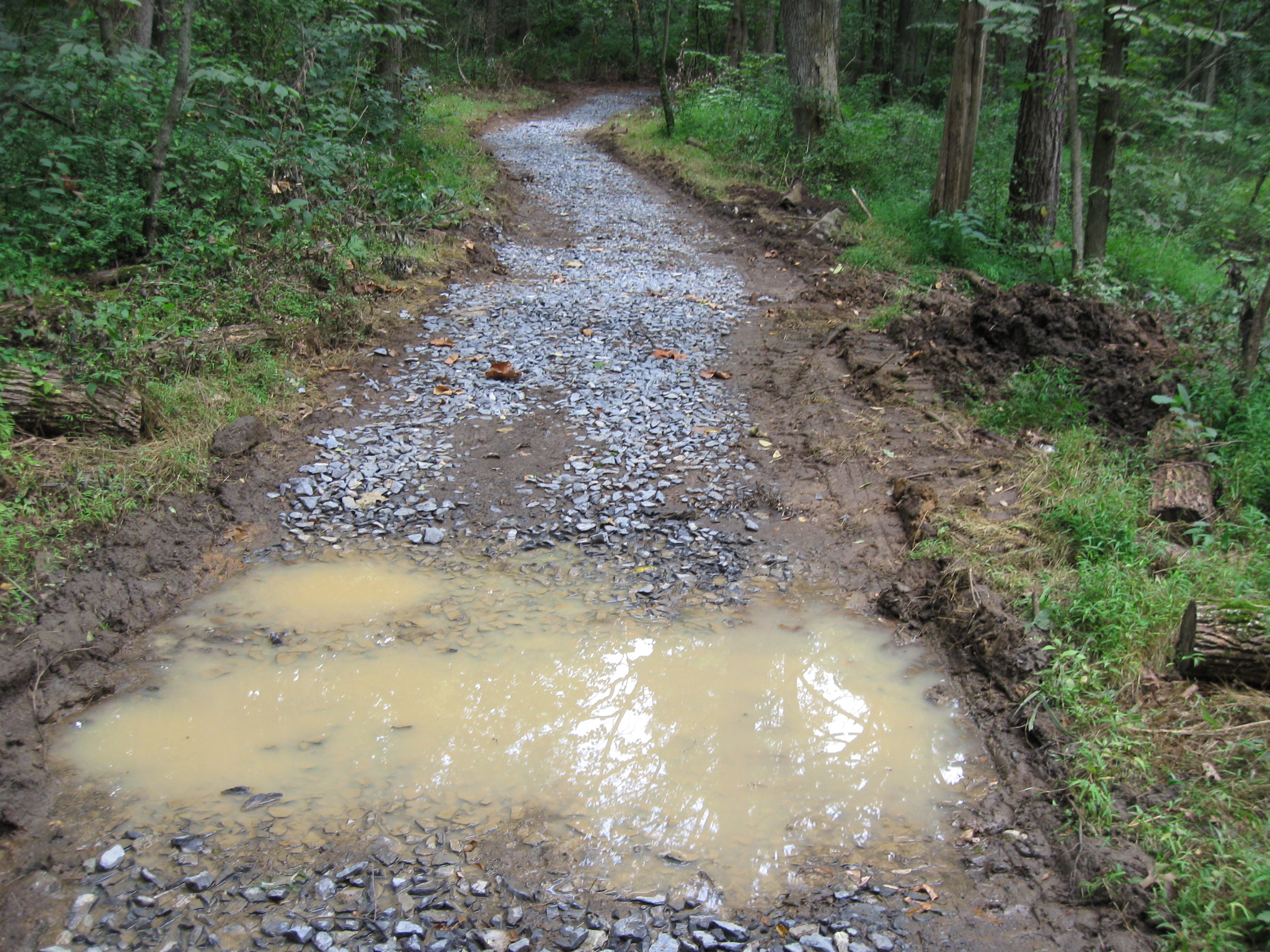
The careful construction of the new trail starts to disintegrate. This view was taken facing east at approximately 2:30 PM on Wednesday, August 12, 2009.
On the side of the trail, they have taken out at least one tree. This view was taken facing northwest at approximately 2:30 PM on Wednesday, August 12, 2009.
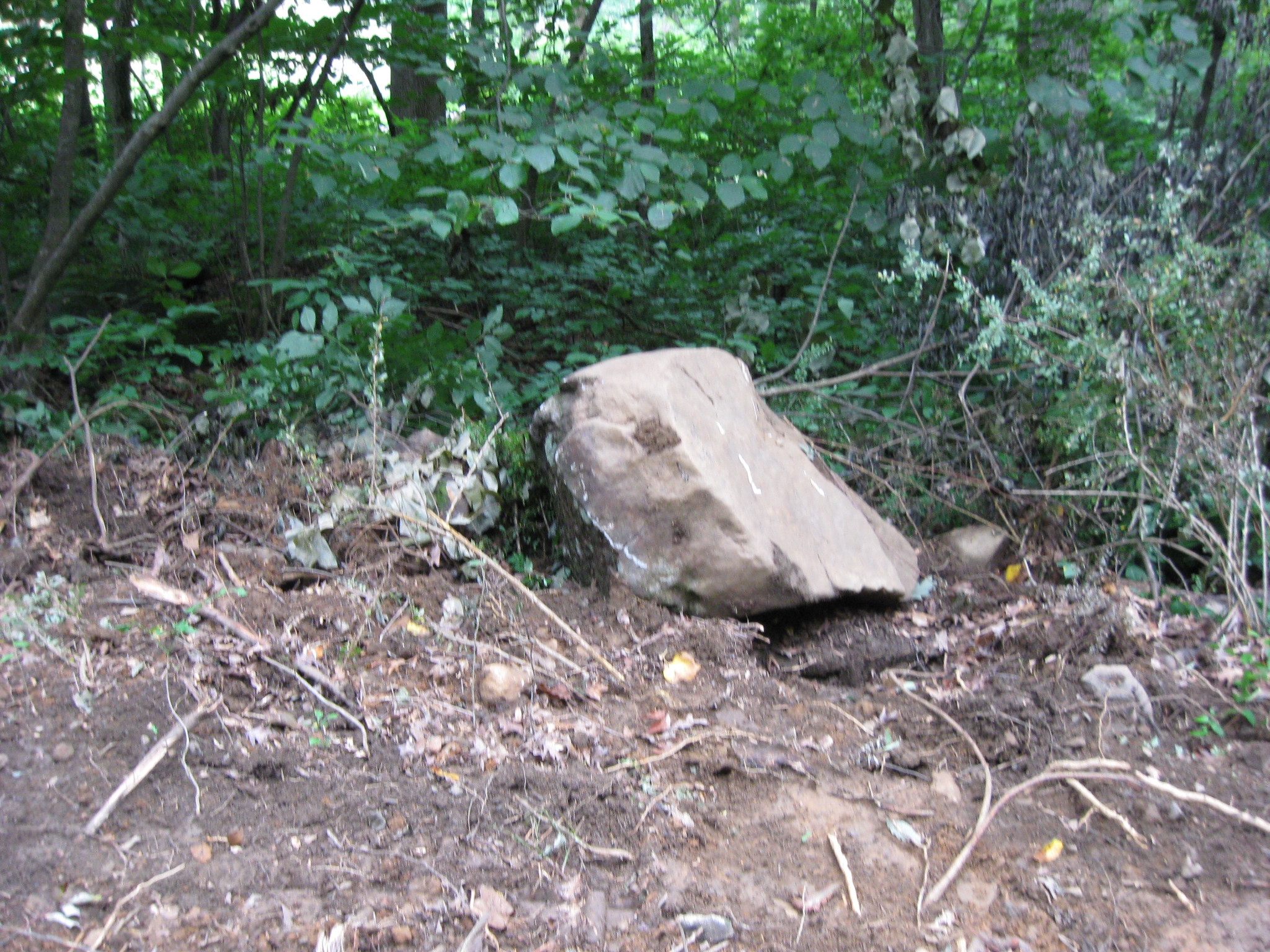
Here the construction equipment has not only gone more than a few feet off the trail to do some clearing, it has turned up at least one large rock. This view was taken facing south at approximately 2:30 PM on Wednesday, August 12, 2009.
We are now a decent distance from the prying eyes of the public on South Confederate Avenue, where the car in the background is located. This view was taken facing northwest at approximately 2:30 PM on Wednesday, August 12, 2009.
So let’s press on and see what else we can find. This view was taken facing east at approximately 2:30 PM on Wednesday, August 12, 2009.
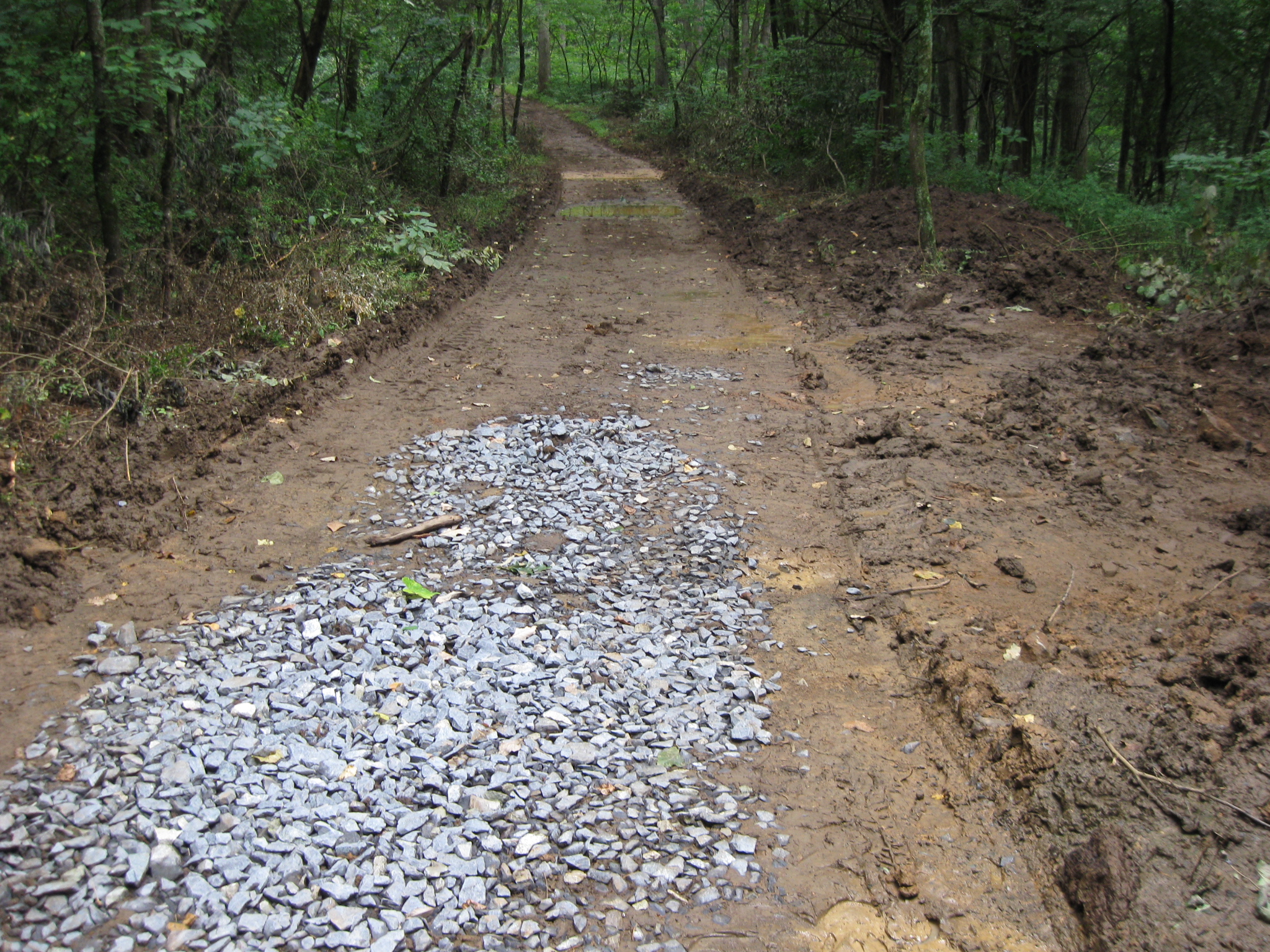
The crushed stone starts to end… This view was taken facing east at approximately 2:30 PM on Wednesday, August 12, 2009.
…and the construction equipment cuts a larger swath off the trail. This photograph was taken facing southeast at approximately 2:30 PM on Wednesday, August 12, 2009.
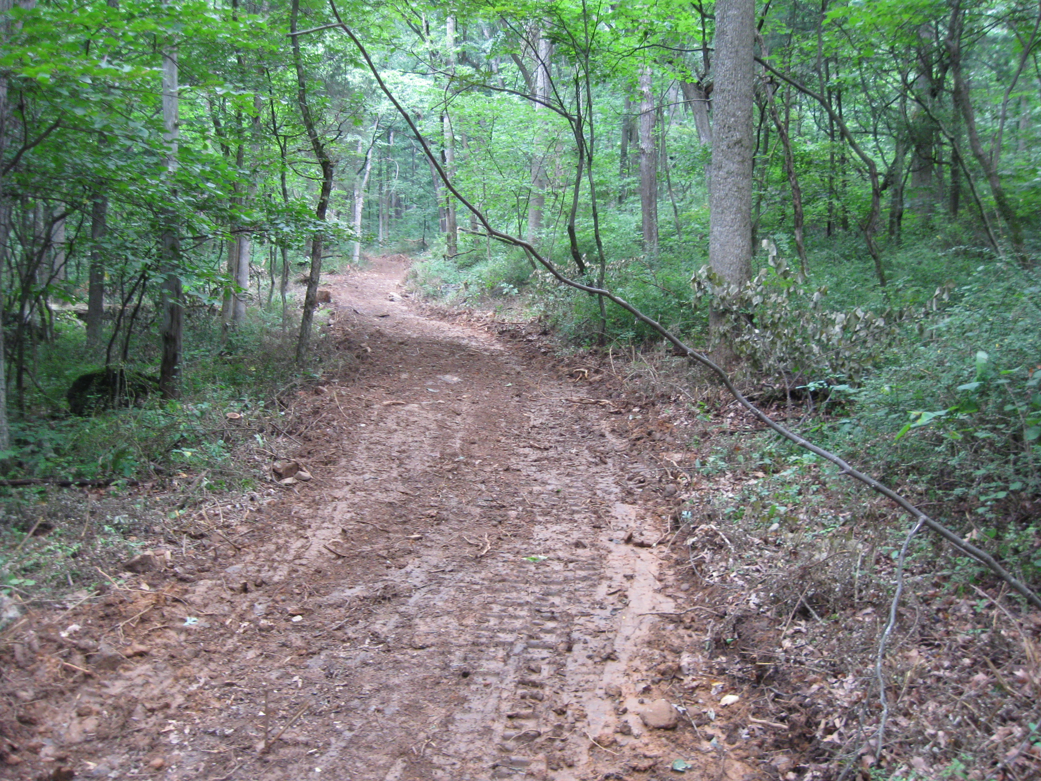
Still we press on. This view was taken facing east at approximately 2:30 PM on Wednesday, August 12, 2009.
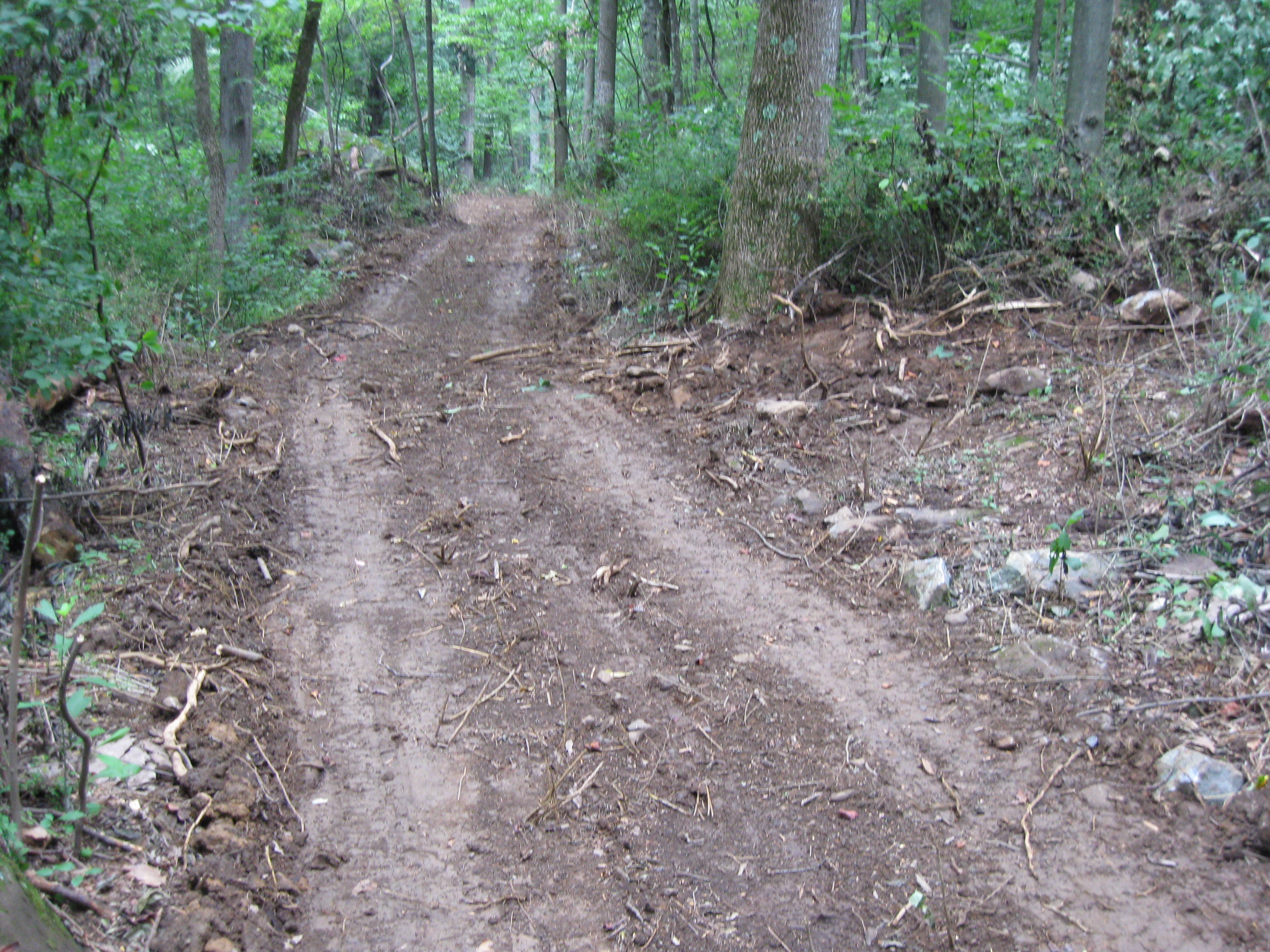
The horse trail comes to an end, and is just going to be a hiking trail. Or is it? Look on the left. This view was taken facing east at approximately 2:30 PM on Wednesday, August 12, 2009.
Look at this widened trail. This view was taken facing northeast at approximately 2:30 PM on Wednesday, August 12, 2009.
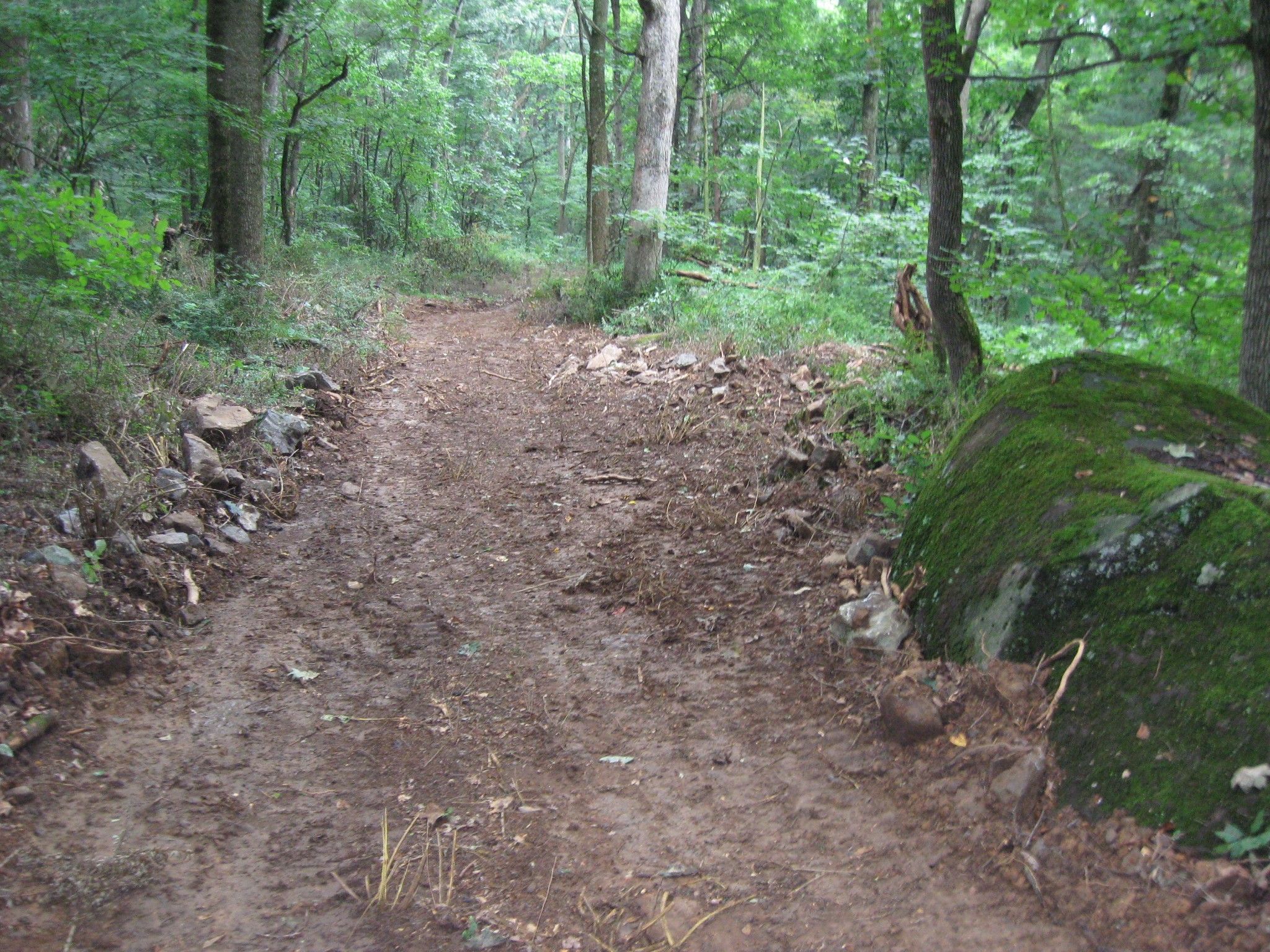
The area cleared for this interstate-like horse trail is ten feet wide in some spots. This view was taken facing northeast at approximately 2:30 PM on Wednesday, August 12, 2009.
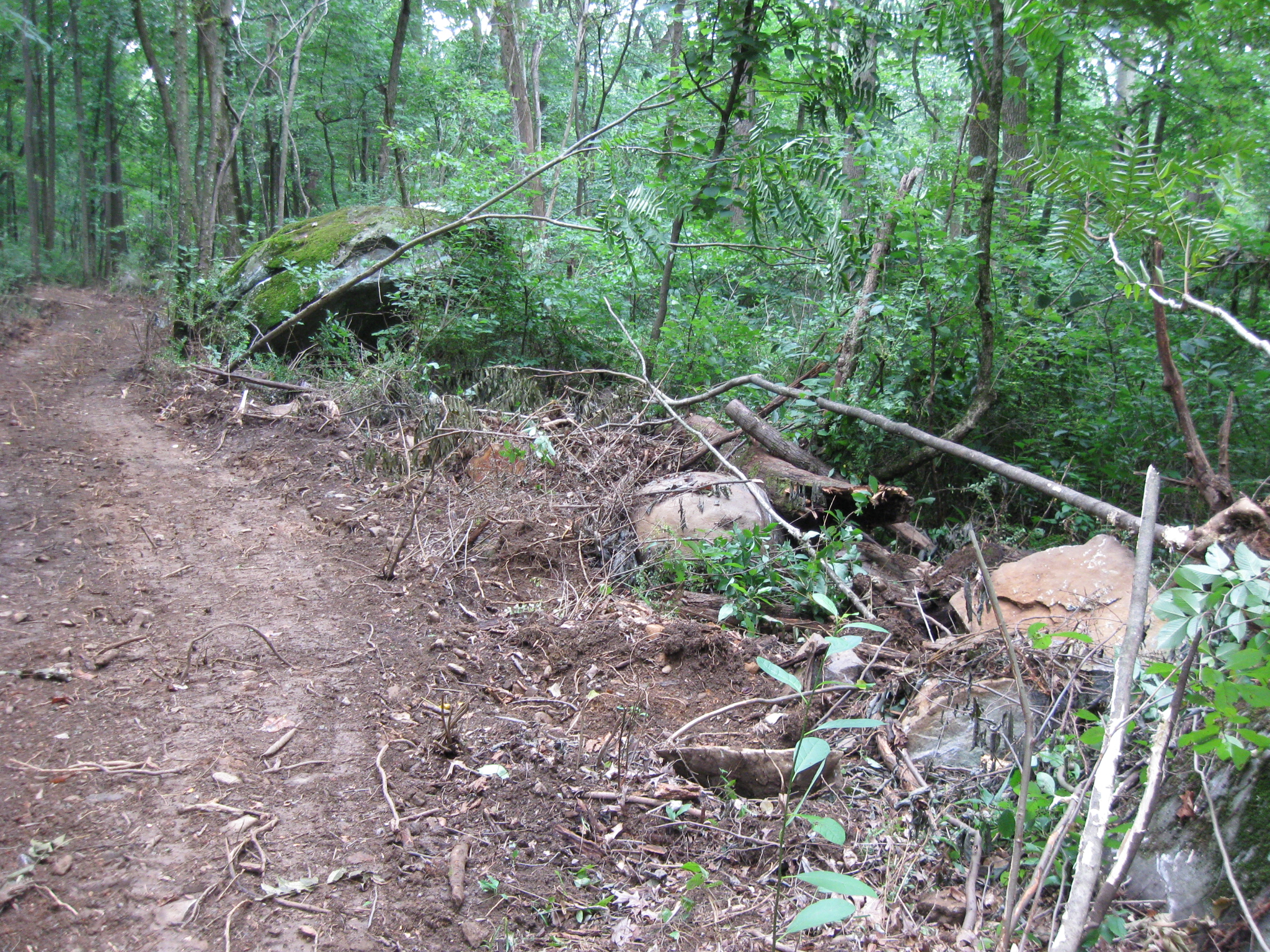
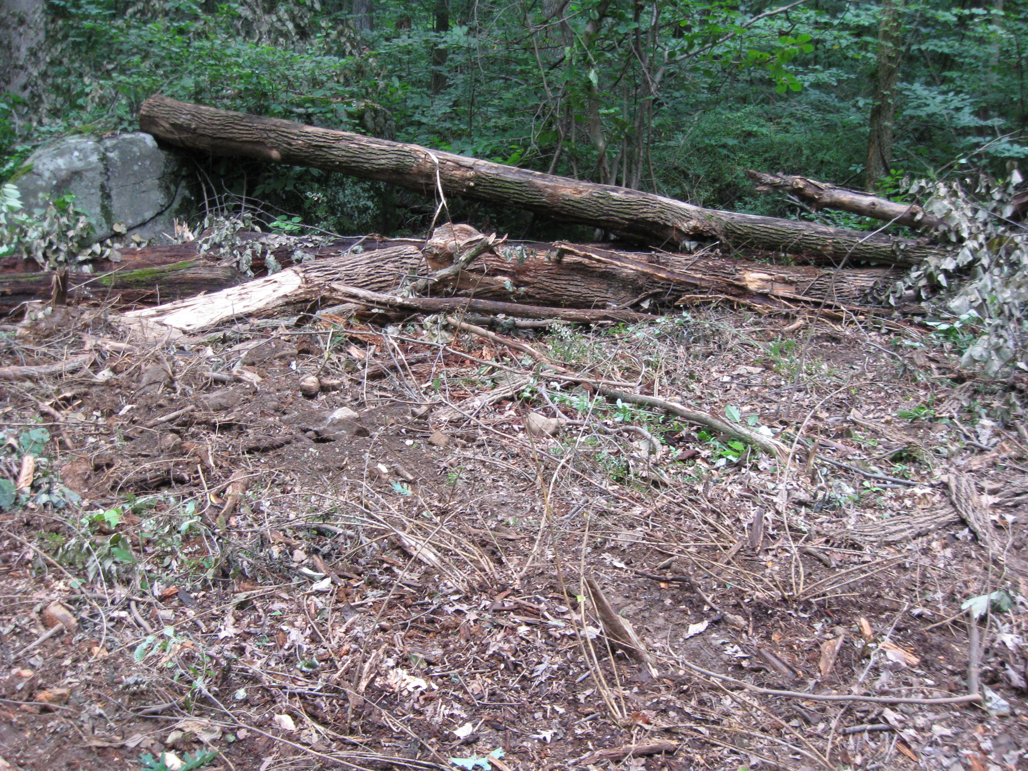
The journey on this section of the trail was one long stretch of disturbed rocks, stone, and cut trees. This view was taken facing northeast at approximately 2:30 PM on Wednesday, August 12, 2009.
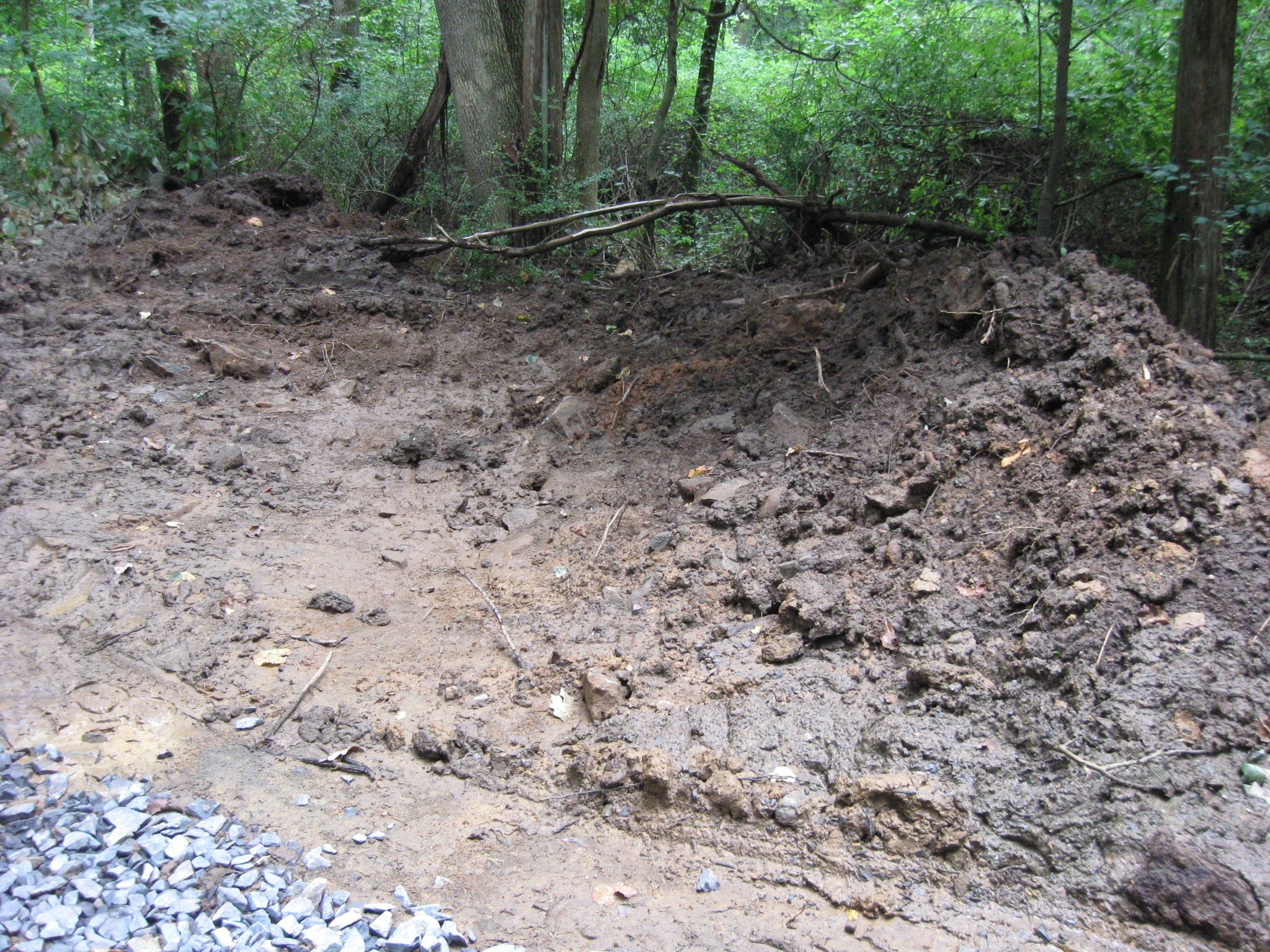
Sometimes the construction equipment ventured significantly off the trail. This view was taken facing northeast at approximately 2:30 PM on Wednesday, August 12, 2009.
The equipment moved rocks off the trail, as seen on the left. This view was taken facing northeast at approximately 2:30 PM on Wednesday, August 12, 2009.
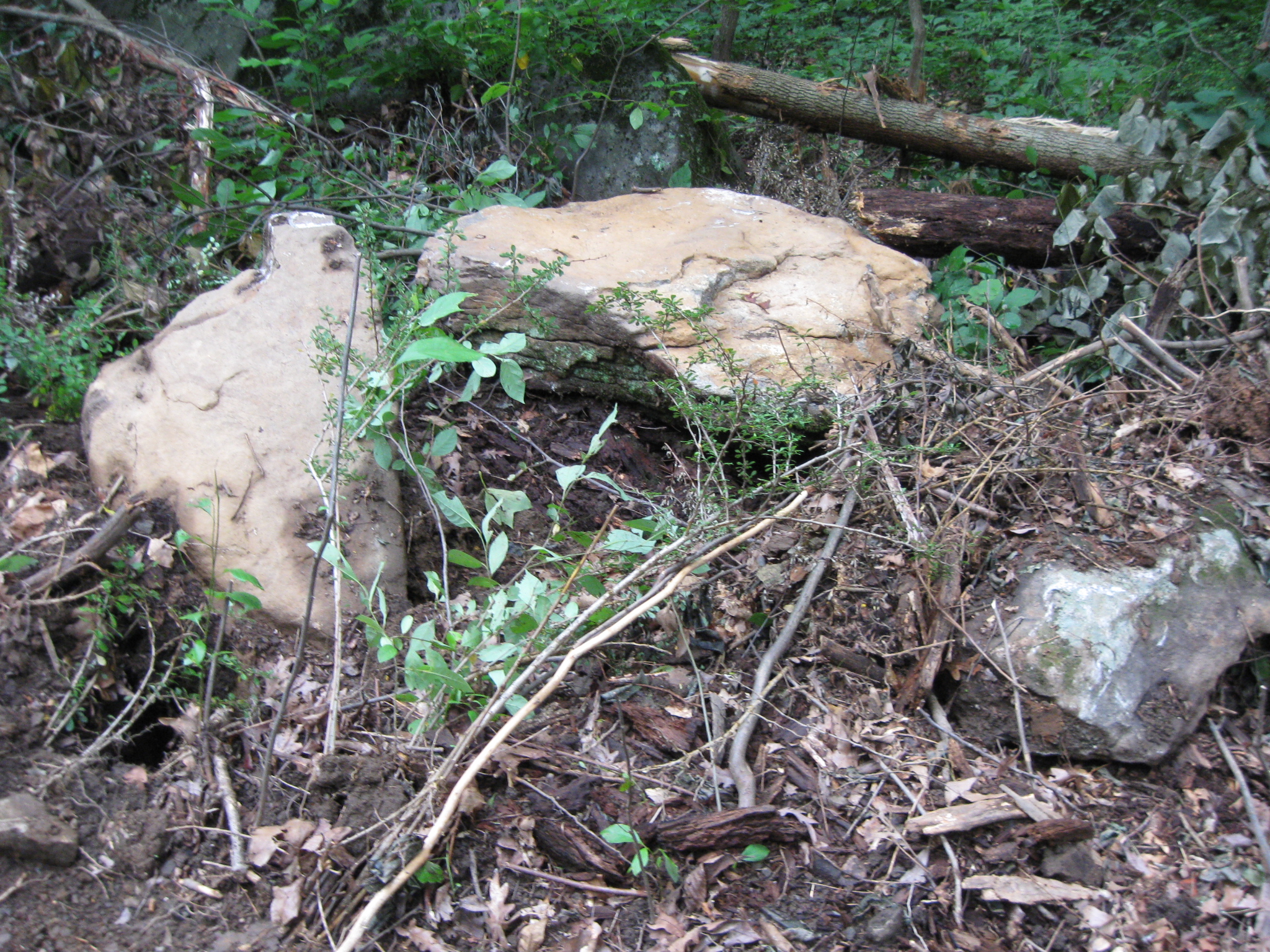
Rocks of significant size were removed to make way for the wider trail. This view was taken facing south at approximately 2:30 PM on Wednesday, August 12, 2009.
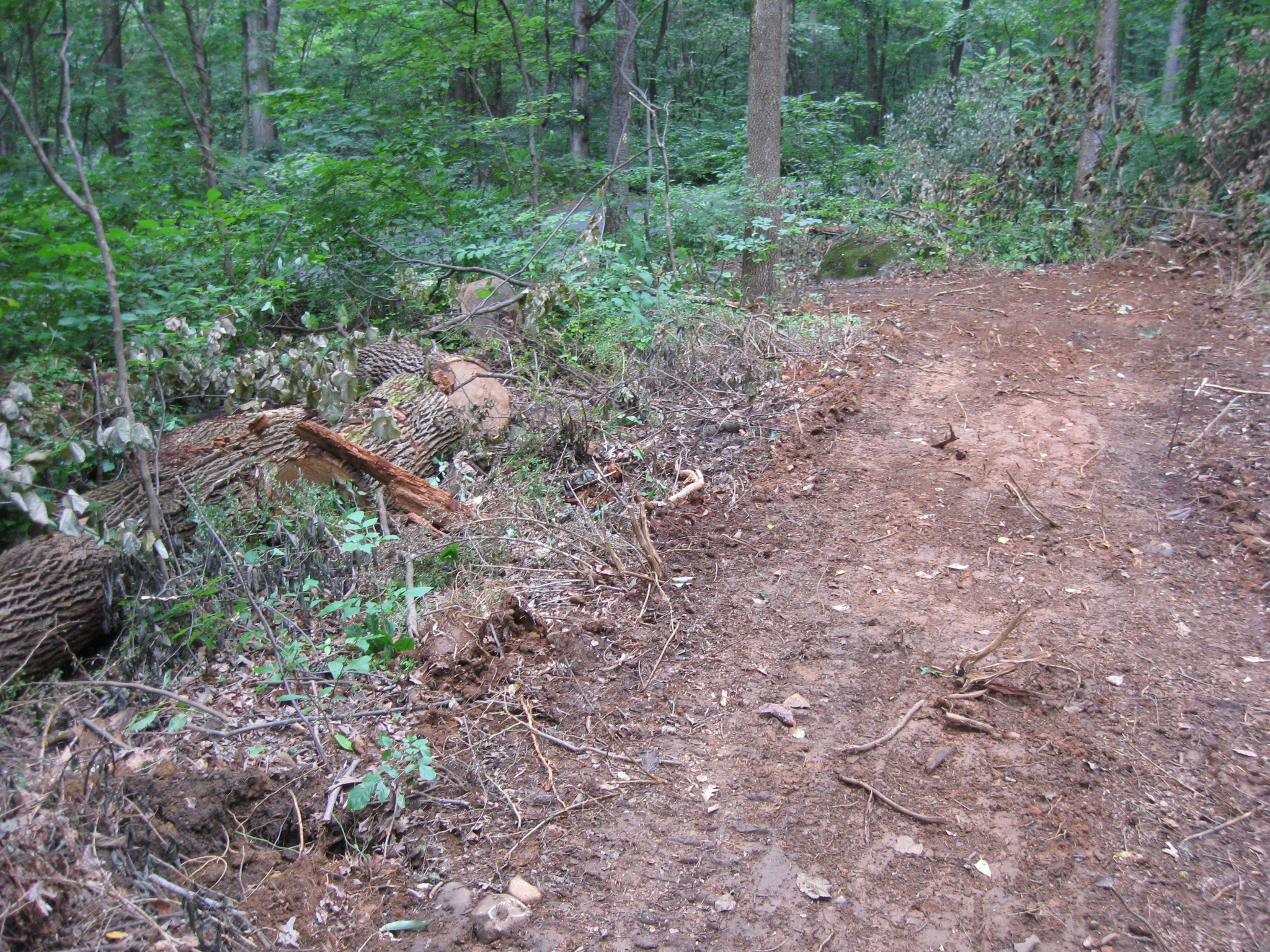
Trees have been cut to make way for the horse trail. This view was taken facing east at approximately 2:30 PM on Wednesday, August 12, 2009.
There are large trees pushed far off the trail. This photograph was taken facing north at approximately 2:30 PM on Wednesday, August 12, 2009.
Other large rocks have been removed from the the side of the trail. This view was taken facing south at approximately 2:30 PM on Wednesday, August 12, 2009.
Here’s some more. This view was taken facing southwest at approximately 2:30 PM on Wednesday, August 12, 2009.
As the trail approaches South Confederate Avenue again… This view was taken facing southeast at approximately 2:30 PM on Wednesday, August 12, 2009.
…it begins to narrow. This view was taken facing northeast at approximately 2:30 PM on Wednesday, August 12, 2009.
The trail then crosses South Confederate Avenue… This view was taken facing northeast at approximately 2:30 PM on Wednesday, August 12, 2009.
…and heads back to the Slyder and Bushman Farms by the monument to the First Vermont Cavalry Regiment. This view was taken facing northeast at approximately 2:30 PM on Wednesday, August 12, 2009.
See the following related posts:
We Don’t Think the Park Service Wants You to Take Pictures Here on May 13, 2009.
And the Nomination for Most Thorough Burying of a Flank Marker Goes to… on November 14, 2008.
Patterson Farm Tree Cutting and the left flank marker of Knap’s Pennsylvania Battery thrown in a pile behind the NPS Maintenance Buildings on November 9, 2008.
National Park Service Does Move Flank Markers on October 23, 2008.
National Park Service decision not to move the Reynolds Avenue flank markers on October 22, 2008.
“Do the Flank Markers on Reynolds Avenue Need to be Moved?” on October 16, 2008.
Dirt and Gravel Return to the Flank Markers on October 15, 2008.
Dirt and Gravel Removed from the Flank Markers on October 10, 2008.
Dirt and Gravel Burying the Flank Markers on October 9, 2008.
Doubleday Avenue Roadwork on October 1, 2008.
Asphalt Touches the Flank Marker of the 147th New York on September 30, 2008.
Contractors cover up mistakes of having asphalt touch boulders in The Loop on September 22, 2008.
Slathering the Loop With Asphalt on September 13, 2008.
Devil’s Den: Aftermath of the Construction on September 11, 2008.