Water Line to be Run to the Spangler’s Spring Restroom. Why?
July 2, 2010
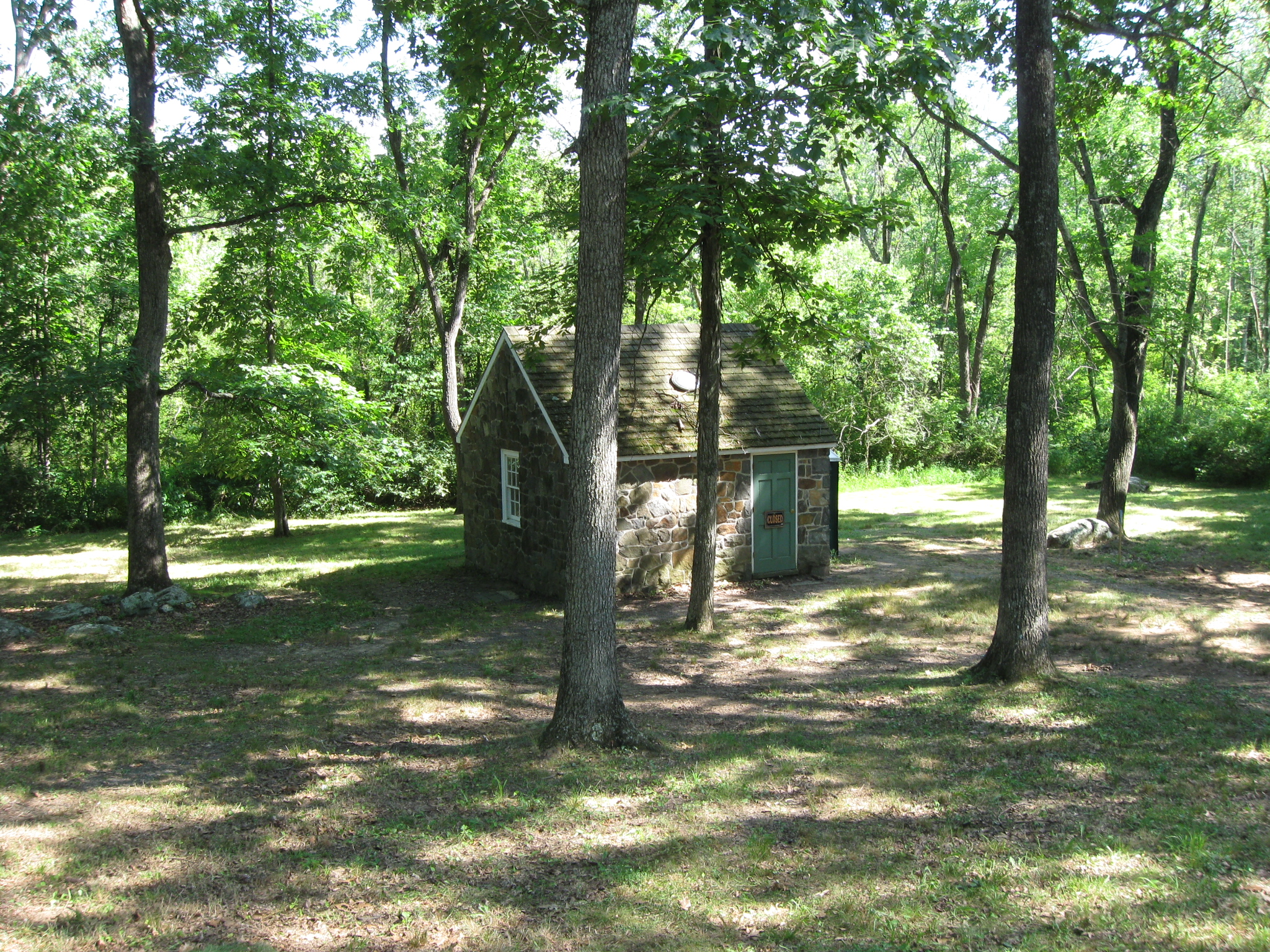
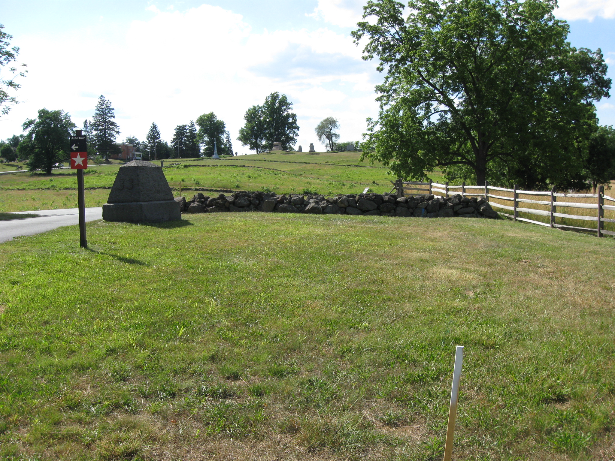
This non-historic (1930s) structure located near Spangler’s Spring has been without running water, or any electricity for at least eight years. Now the National Park Service has received some infrastructure money to bring water to four toilets and two sinks. The project will cost $295,767 or $49,294.50 for each toilet/sink. This view was taken facing southwest at approximately 3:30 PM on Wednesday, June 30, 2010.
After deciding that spending over $500,000 to bury power lines to the Devil’s Den restroom wasn’t worth it, the National Park Service has now decided to spend almost $300,000 to bury a water line to the Spangler’s Spring restroom. The restroom has been without water for at least eight years, and we haven’t noticed an outcry among visitors or employees to get water to it. Two Port O Potties have been at this location that seemed to satisfy the needs of most visitors. The new water line will be run from East Cemetery Hill. Yes, all the way from East Cemetery Hill to Spangler’s Spring.
In answer to our question of why the Spangler’s Spring restroom is now a priority, National Park Service spokesperson Katie Lawhon answered, “We never had the money to fix it until now. Gettysburg National Military Park’s annual operating budget doesn’t have extra money in it that the park can use to fix these kinds of things. Projects have to go on a regional list (for all national parks from Virginia to Maine) and compete. Some projects wait on this list of funding needs for years before they compete successfully and get funded.”
Update: Many of our readers have asked who to get in touch with about their concerns over this issue. The National Park Service’s contact page can be reached by clicking here. The superintendent is Bob Kirby.
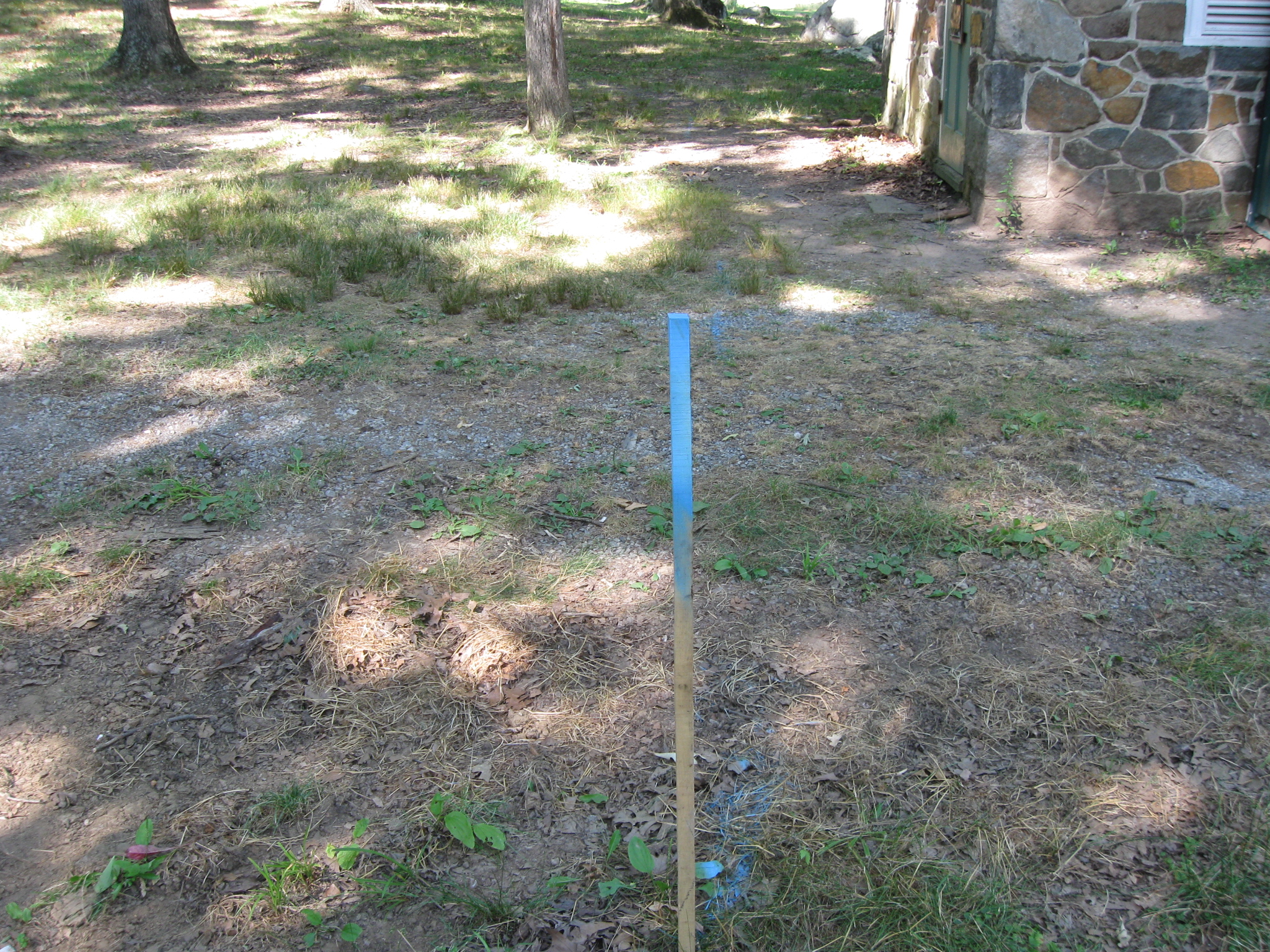
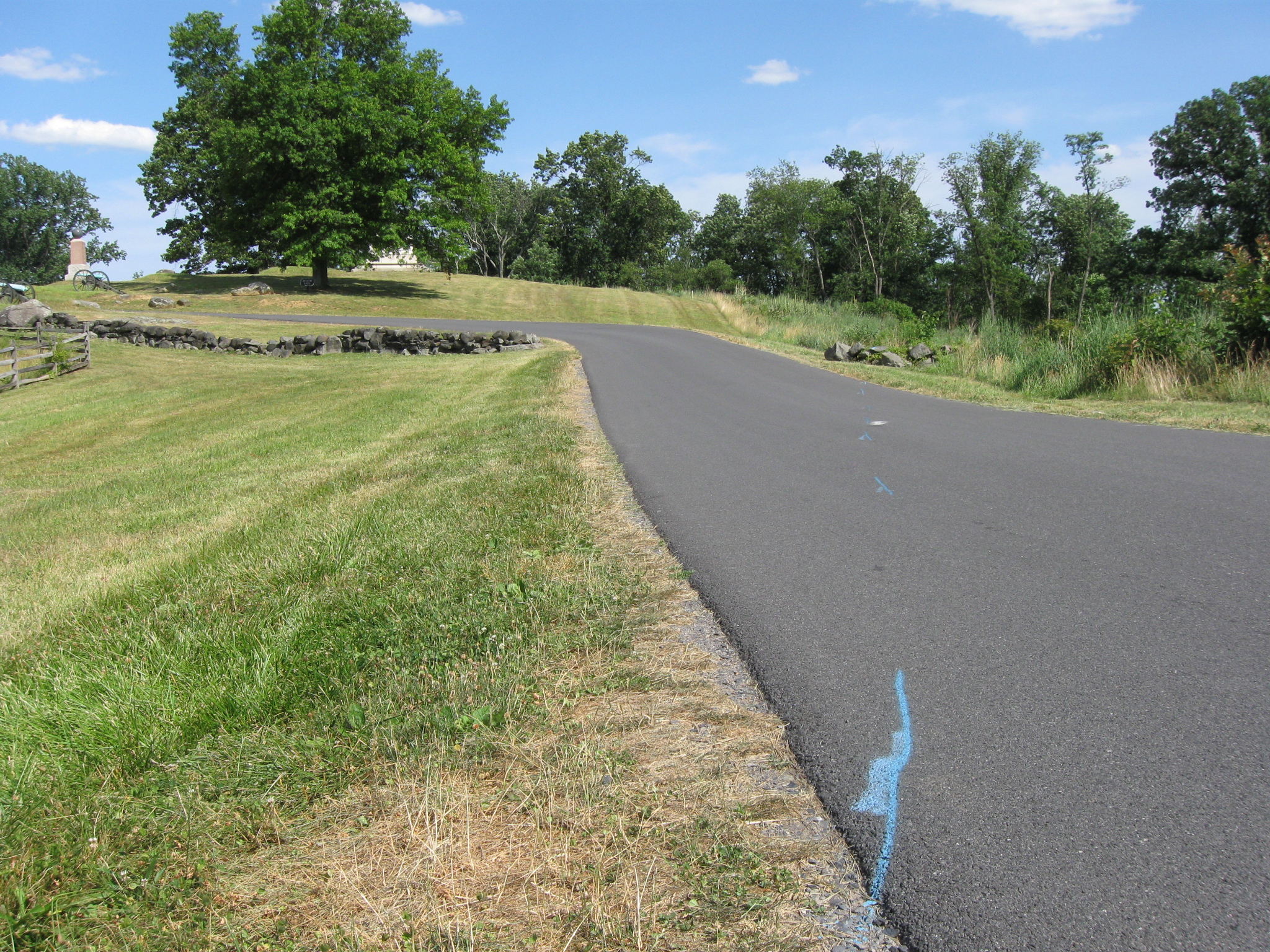
It’s not very difficult to follow the area where the ground will be dug up for the new water line. Just follow the flags and the blue spray paint. Lots of blue spray paint. This view was taken facing northeast at approximately 3:30 PM on Wednesday, June 30, 2010.
In the background to the right of the structure is where the stake leads … This view was taken facing west at approximately 3:30 PM on Wednesday, June 30, 2010.
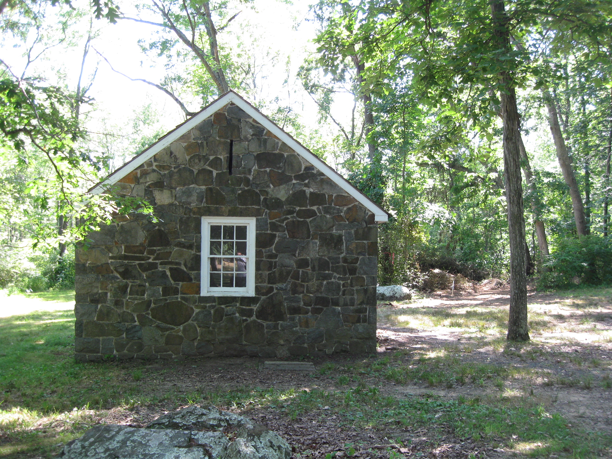
… to this area, where the ground has been cleared/bulldozed, but not yet dug up. This view was taken facing southeast at approximately 3:30 PM on Wednesday, June 30, 2010.
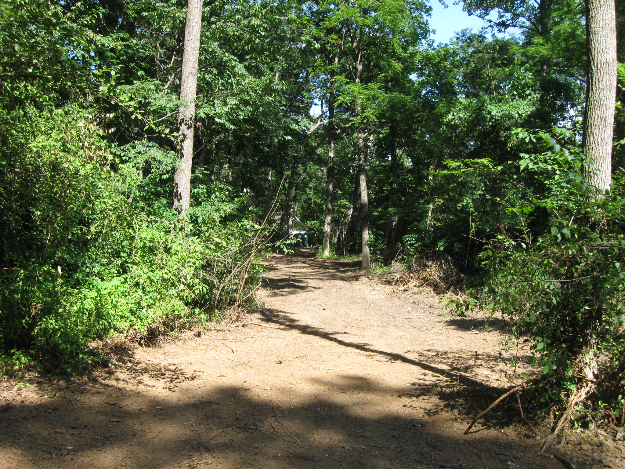
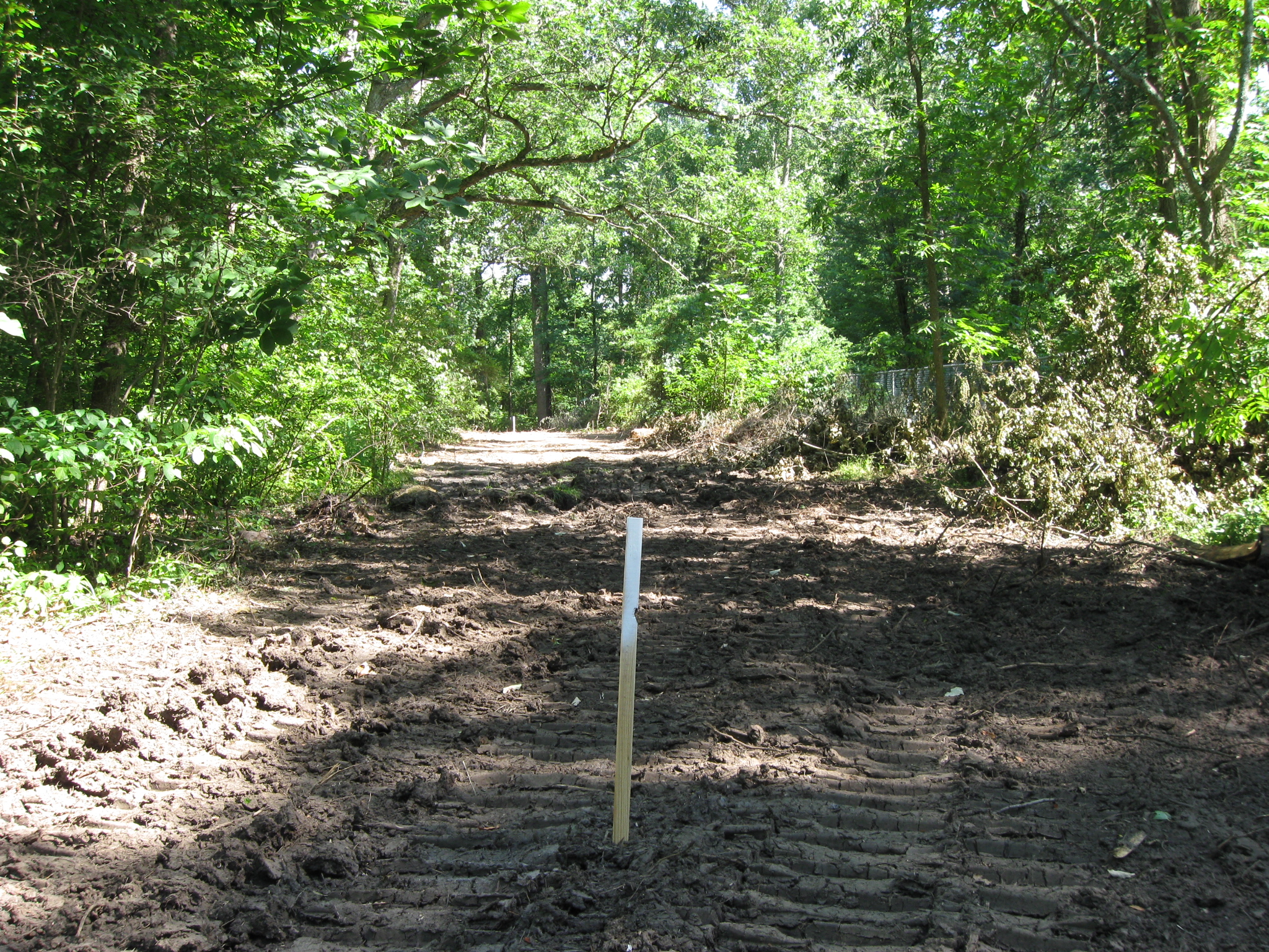
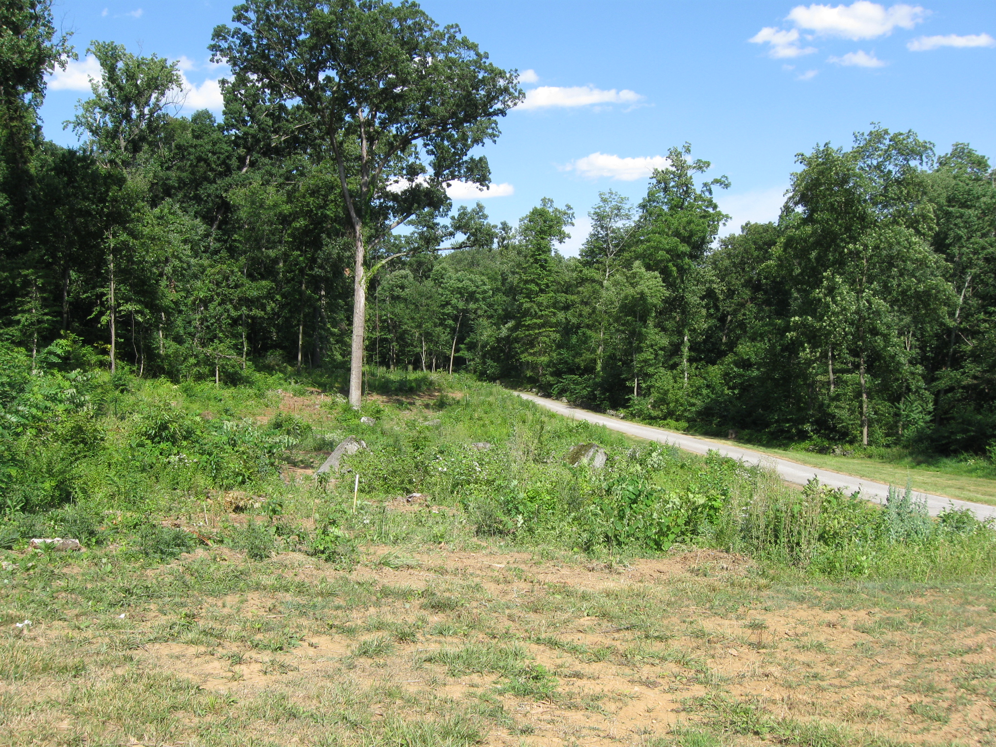
A large path has been cleared and marked adjacent to Geary Avenue in the woods near Spangler’s Spring and Culp’s Hill. We are looking back towards the restrooms. The portable restrooms next to that non-historic structure are in the center background. This view was taken facing east at approximately 3:30 PM on Wednesday, June 30, 2010.
This path is wide and stretches for quite a ways. The National Park Service will of course be informing us that the area that they will dig up follows the old water line through these woods, so it’s okay to remove these trees. They did that with the McMillan Woods water line (1960s? pathway restored) and the horse highway on Big Round Top (early 1900s road restored). This view was taken facing east at approximately 3:30 PM on Wednesday, June 30, 2010.
When the National Park Service ran the water line to the boy scout area last year, they said that it followed an old roadway, so it’s okay for them to clear these large paths. What we consider the ground disturbance (the NPS doesn’t consider this or the future digging here to be ground disturbance) from this large clearing is extremely visible and has changed the landscape in this area. This view was taken facing southeast at approximately 3:30 PM on Wednesday, June 30, 2010.
If the National Park Service thinks that’s it’s fine to create large swaths through the forests and across the fields because there was a road way here in the early 1900s, or a water line here later, that’s understandable. This view was taken facing south at approximately 3:30 PM on Wednesday, June 30, 2010.
But don’t tell us how concerned the National Park Service is in putting the battlefield back to its 1863 appearance. Don’t try to raise money across the country on the pretense of putting the battlefield back to 1863, when in cases like this it’s obviously not a goal. The Park Service once again appears to do whatever is convenient for them or for their contractors regardless of the time period. Back to the photograph, we have finally reached the light at the end of the path. This view was taken facing north at approximately 3:30 PM on Wednesday, June 30, 2010.
When one is in the new NPS Gettysburg visitor center, a video program reminds visitors, “Take only memories. Leave only footprints.” But the truth is that over the last couple of years most of the damage in the park has been caused by the National Park Service and its contractors. We are now looking back into the woods. On the left is Geary Avenue, heading towards the Spangler’s Spring restroom. In the right background is the area that has been cleared to reach the structure. This view was taken facing south at approximately 3:30 PM on Wednesday, June 30, 2010.
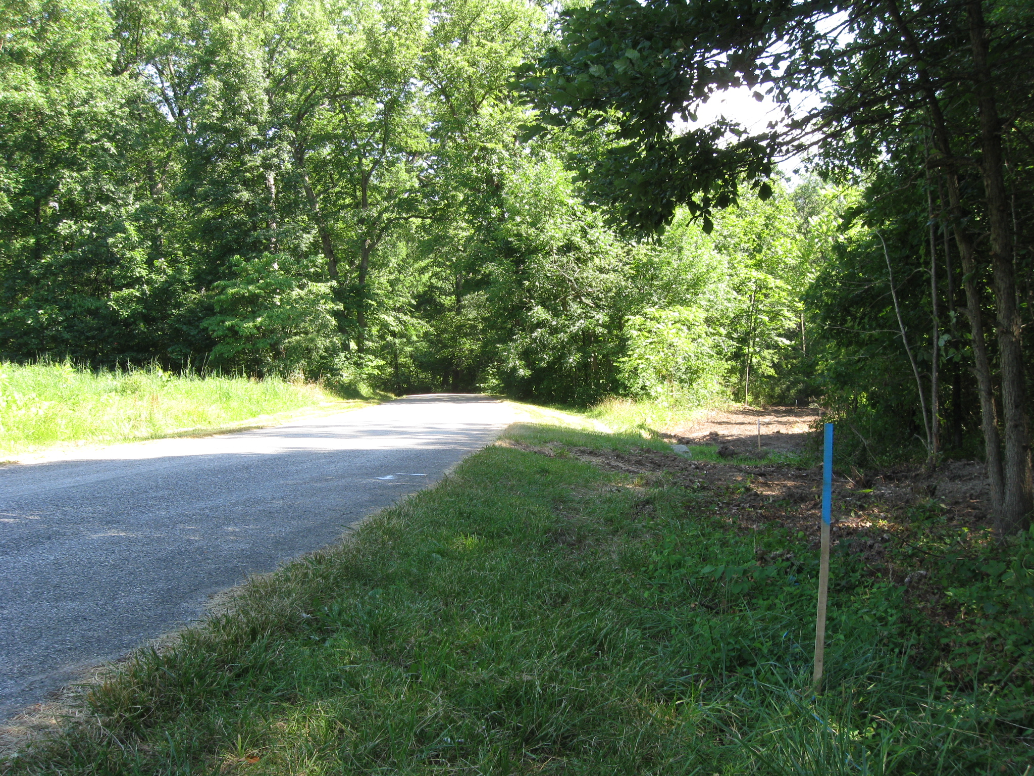
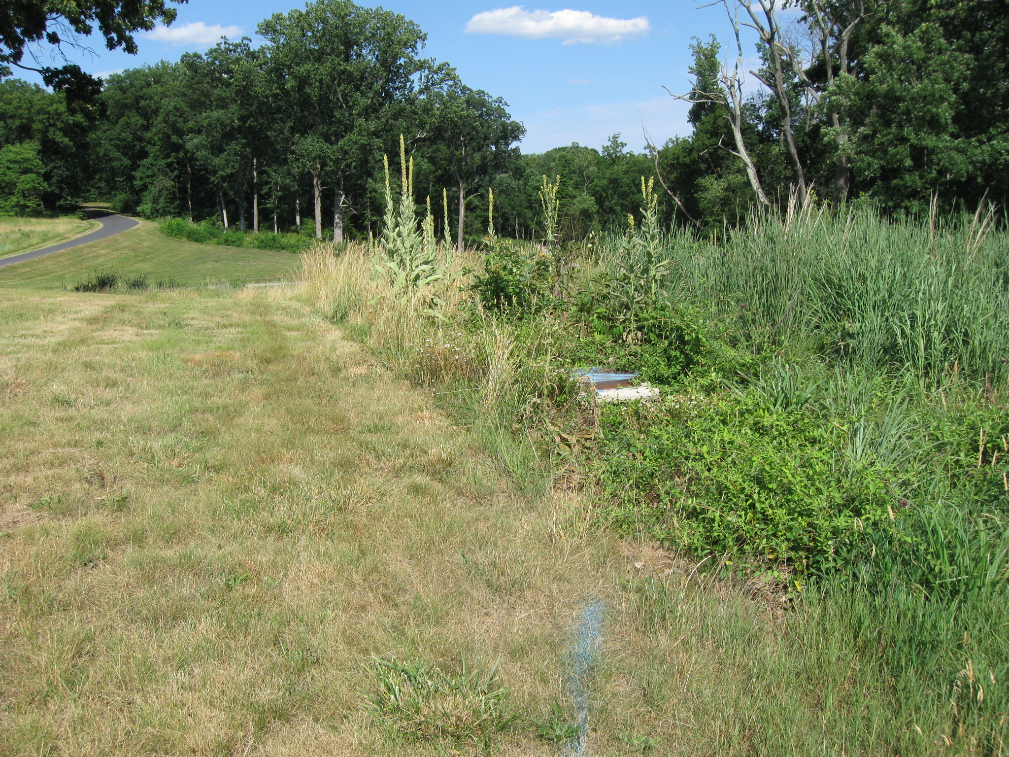
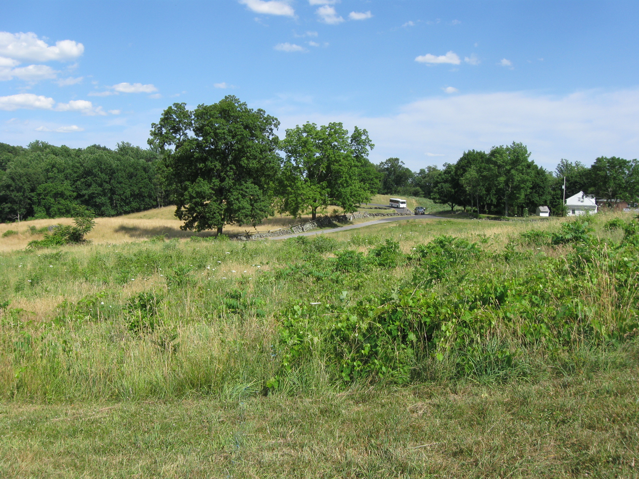
Markings run along Geary Avenue adjacent to Pardee Field. The markings are along the road, out of sight in this view. This view was taken facing east at approximately 3:30 PM on Wednesday, June 30, 2010.
The markings for this water line cross the road here into another large area that has been cleared. This area had previously been cleared of trees last year, and they took the bulldozer through here again. This view was taken facing northeast at approximately 3:30 PM on Wednesday, June 30, 2010.
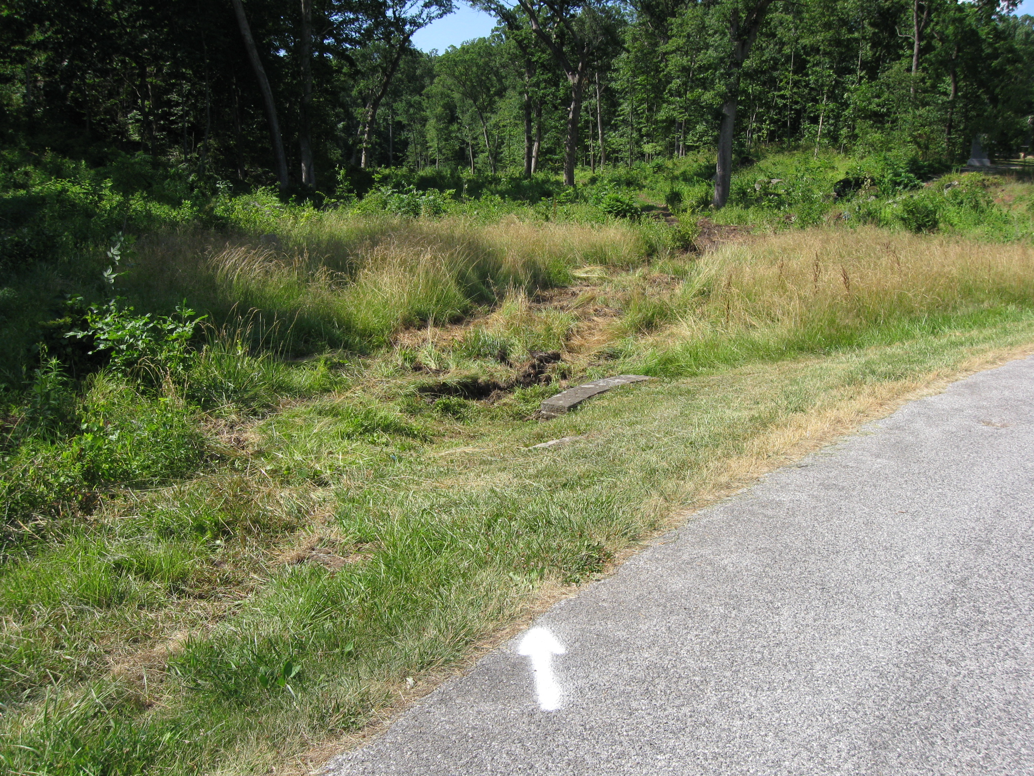
Looking back, with Pardee Field in the left background. Again, this disturbance is before they do any digging. This view was taken facing south at approximately 3:30 PM on Wednesday, June 30, 2010.
The same equipment appears to have been used here. We’ll pickup the trail a bit further down … This view was taken facing north at approximately 3:30 PM on Wednesday, June 30, 2010.
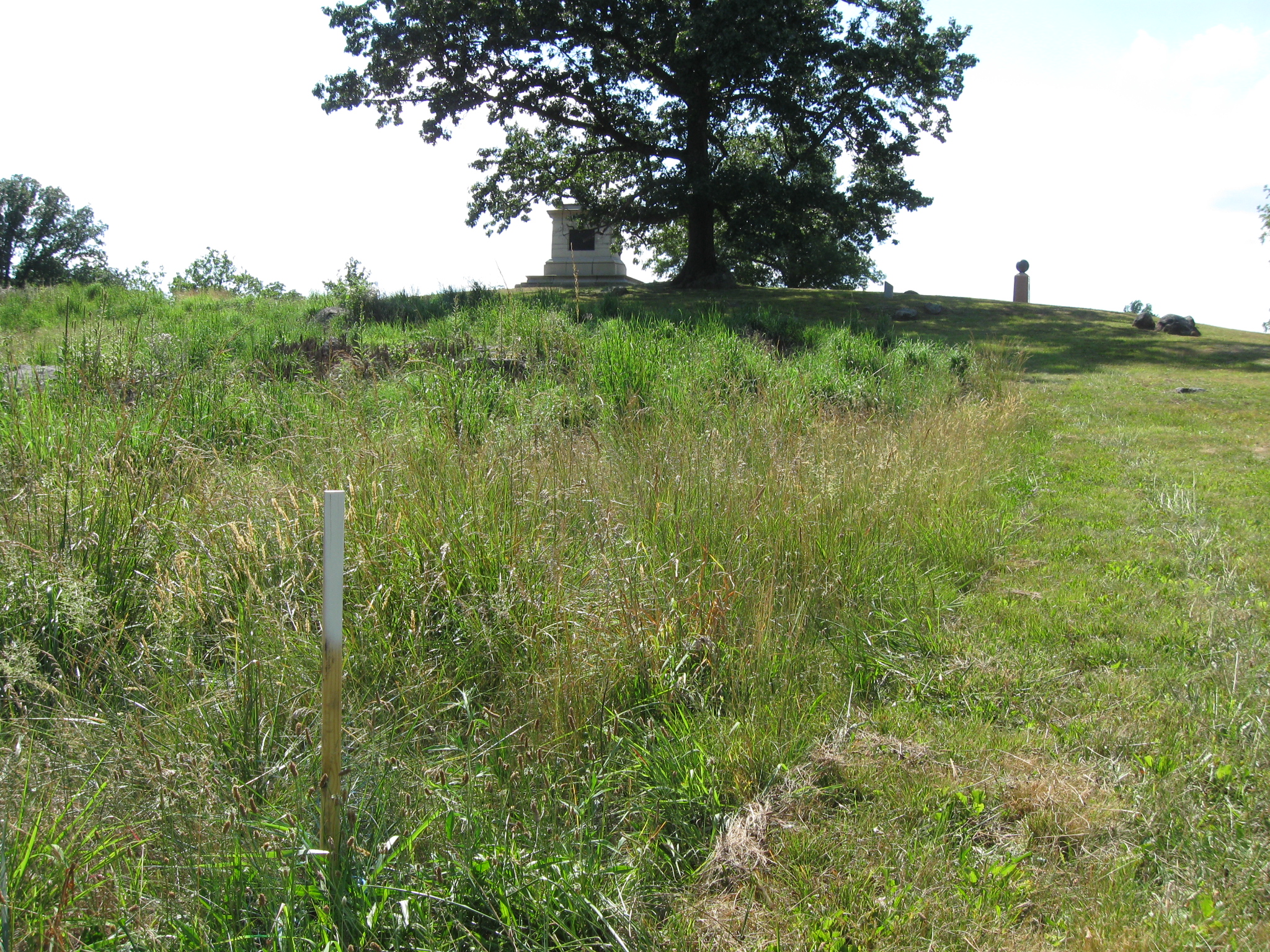
… Where it exits the woods on Culp’s Hill and comes out on Stevens’ Knoll. The path is near the white stake in the center of this view. This view was taken facing southeast at approximately 3:30 PM on Wednesday, June 30, 2010.
Here comes the lines across the road. This view was taken facing southeast at approximately 3:30 PM on Wednesday, June 30, 2010.
The stakes marking this water line climb the Stevens’ Knoll/McKnight’s Hill. Yes they’re actually going to do this. This view was taken facing northwest at approximately 3:30 PM on Wednesday, June 30, 2010.
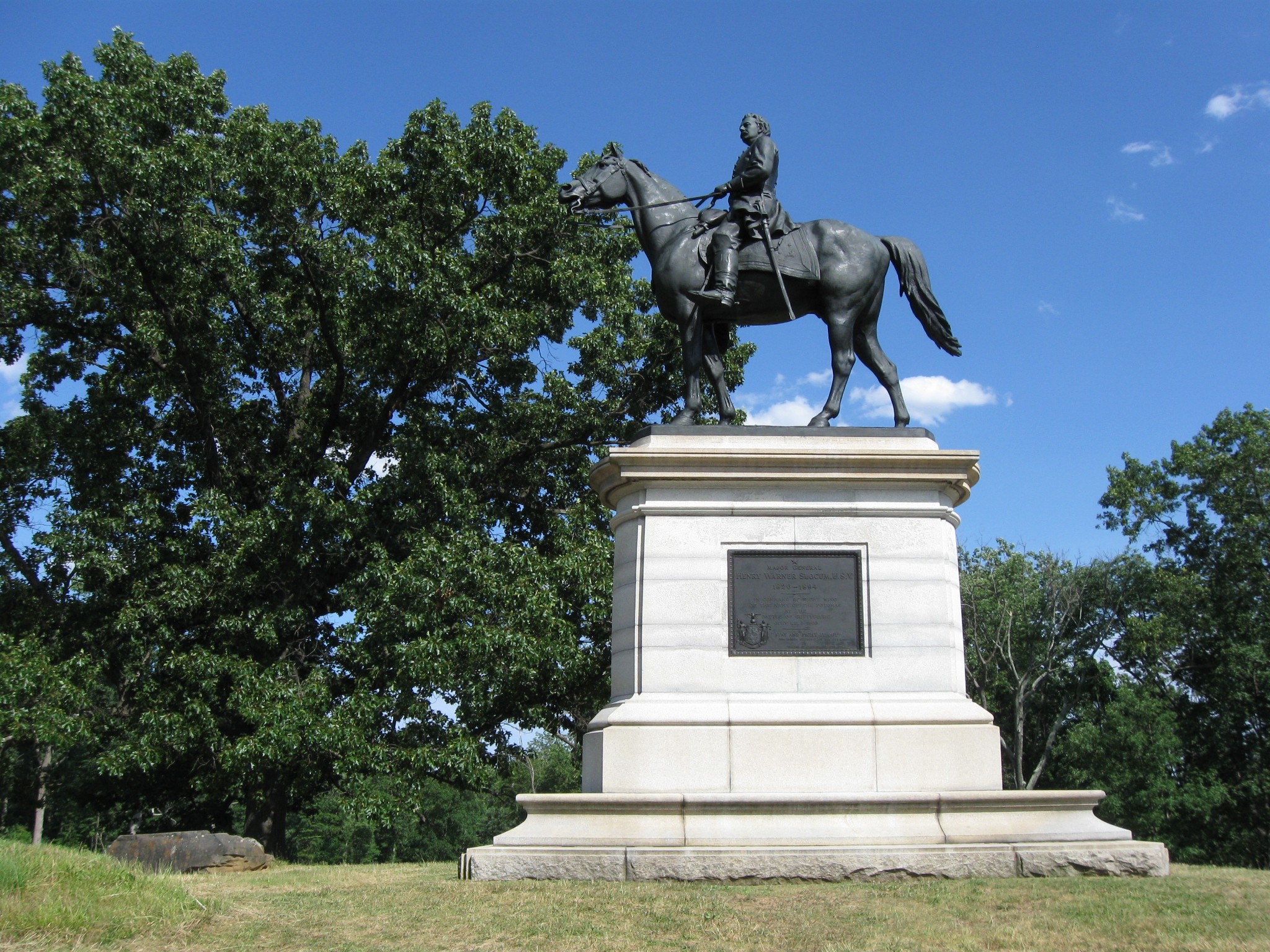
The equestrian statue to Major General Henry Warner Slocum. This view was taken facing southeast at approximately 3:30 PM on Wednesday, June 30, 2010.
Looking back again, the water line hits a water main here. National Park Service Katie Lawhon informed us that no “park neighbors” will benefit from this project as they did on the McMillan Woods/Boy Scout line, so this must mean that all the pipes here are old and will be completely replaced. This view was taken facing southeast at approximately 3:30 PM on Wednesday, June 30, 2010.
The path comes down off of Stevens’ Knoll and crosses the avenue. Here’s where things continue to get interesting. This view was taken facing southeast at approximately 3:30 PM on Wednesday, June 30, 2010.
We are now following the stakes, looking in the direction of East Cemetery Hill. The gates of the Evergreen Cemetery can just be seen in the left background. This view was taken facing northwest at approximately 3:30 PM on Wednesday, June 30, 2010.
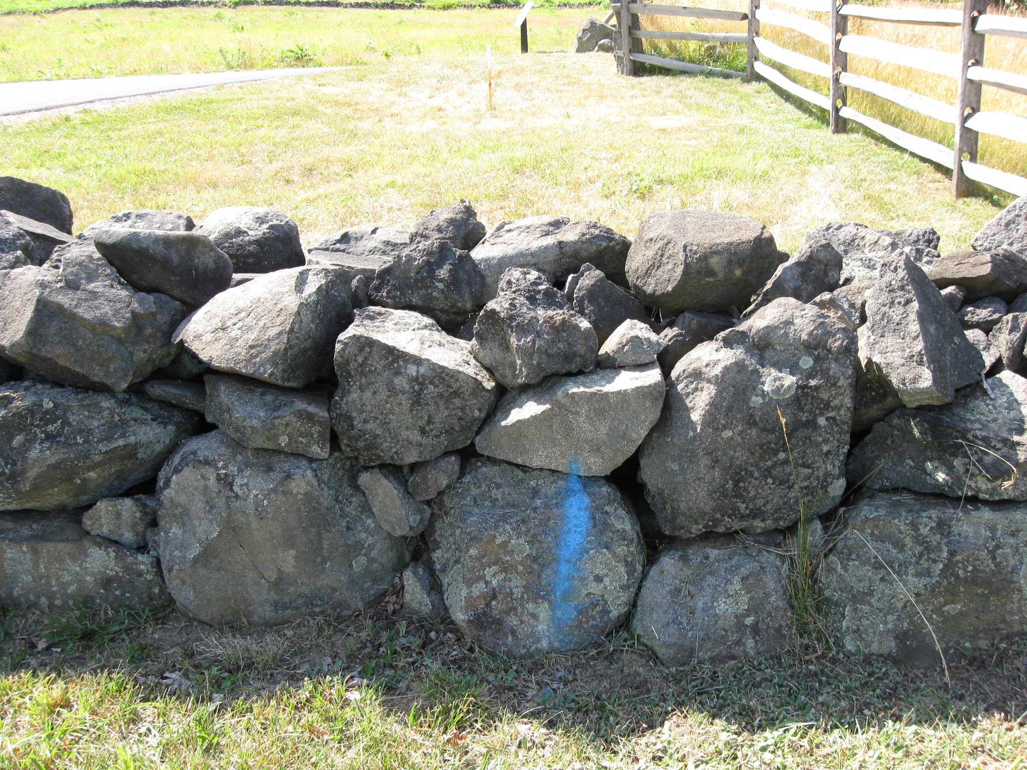
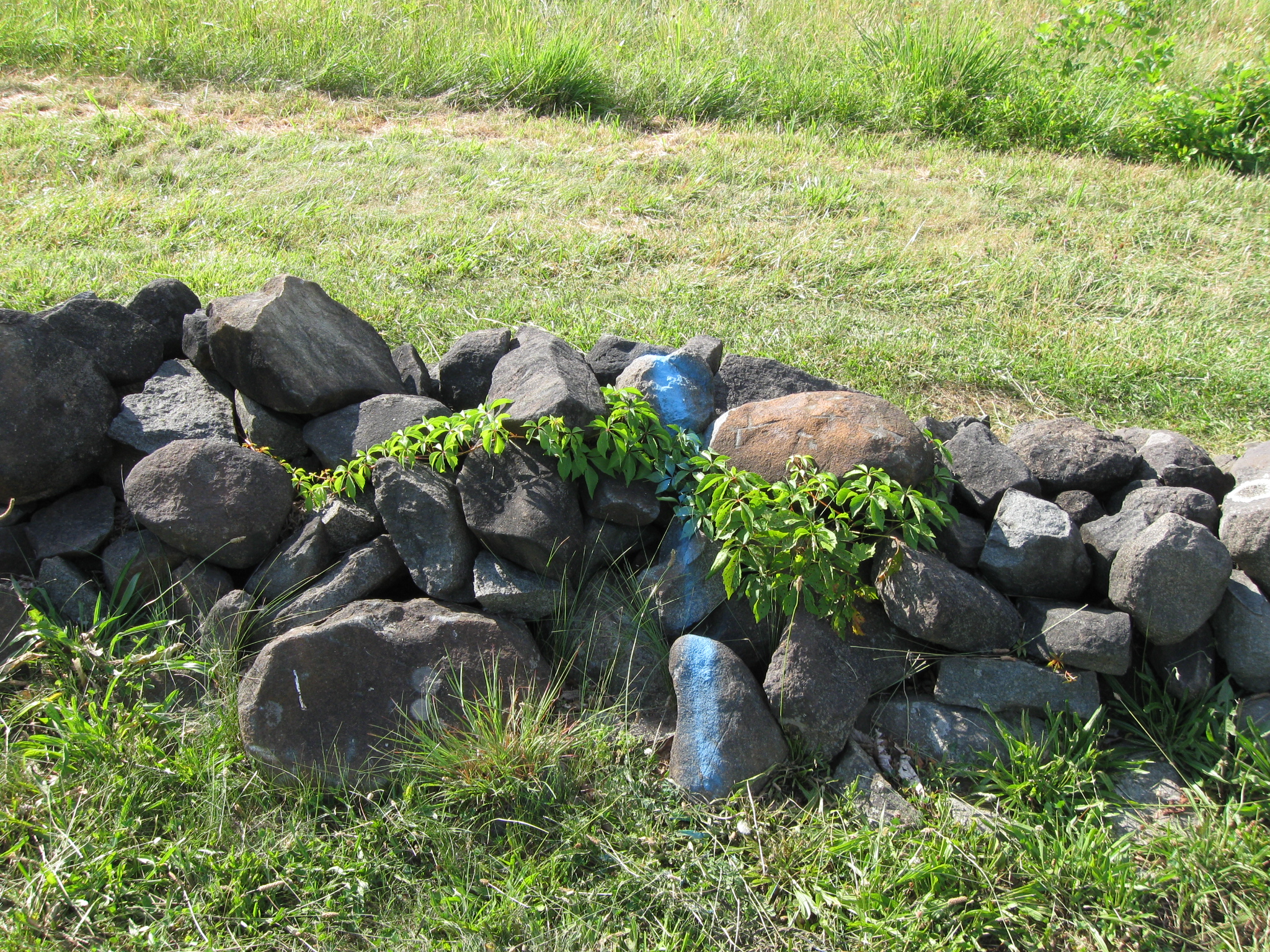
The contractor has decided to spray paint the rock wall. So the water line will go under this and other walls that they will have to dig up. This is not an original rock wall, but we’ll get to the original rock walls in a few more pictures. This view was taken facing northwest at approximately 3:30 PM on Wednesday, June 30, 2010.
And we doubt if anyone has been paying attention to this contractor. You might remember Licensed Battlefield Guide Tim Smith’s series on Rock Carvings at Devil’s Den that we filmed in July of last year. We were chastised by the National Park Service for using chalk to make the carvings more visible, and were asked to show video of Tim washing the chalk off the rocks to discourage visitors from vandalism. But this must be okay, to actually spray paint rock walls. This view was taken facing northwest at approximately 3:30 PM on Wednesday, June 30, 2010.
We followed the stakes up the slope of East Cemetery Hill. Slocum’s equestrian statue is obscured by the trees in the center background. You might be thinking, well, they only spray-painted one rock wall. Perhaps it was just an accident. The photographer in this photo is standing just in front of one of the rock walls on East Cemetery Hill. Let’s look down, shall we? This view was taken facing southeast at approximately 3:30 PM on Wednesday, June 30, 2010.
Here’s where the spray paint and future digging starts on the original rock walls. This view was taken facing south at approximately 3:30 PM on Wednesday, June 30, 2010.
The rock wall we just showed in the previous shot is in the center of this view, running from left to right. We are now standing in front of another rock wall. Let’s look down again. This view was taken facing south at approximately 3:30 PM on Wednesday, June 30, 2010.
You guessed it. More spray-paint. This view was taken facing north at approximately 3:30 PM on Wednesday, June 30, 2010.
And on up the slope of East Cemetery Hill it goes. It’s not like anything interesting happened on these slopes 147 years ago today. Why don’t we did a trench through here? This view was taken facing northwest at approximately 3:30 PM on Wednesday, June 30, 2010.
We can’t wait to see what these rock walls look like after the contractor finishes with them. The light-blue water tank that we often use as a landmark for East Cemetery Hill is in the left background. This view was taken facing northwest at approximately 3:30 PM on Wednesday, June 30, 2010.
Oh yes, and that’s more spray-paint showing the path of the water line. This view was taken facing norhtwest at approximately 3:30 PM on Wednesday, June 30, 2010.
Well, this does have an ending point. This view was taken facing northwest at approximately 3:30 PM on Wednesday, June 30, 2010.
We are now on top of East Cemetery Hill. The Howard equestrian statue is in the right background. The water line ends here … This view was taken facing southeast at approximately 3:30 PM on Wednesday, June 30, 2010.
… Next to a marker for the position of the 106th Pennsylvania Infantry on July 3, 1863. This view was taken facing northwest at approximately 3:30 PM on Wednesday, June 30, 2010.
So let’s review. We’re going to save $500,000 and remove an identical structure in the Slaughter Pen near Little Round Top and Devil’s Den, but we’re going to spend almost $300,000 to run water to this structure, which has not been opened for almost a decade. In the process, contractors, who it once again appears have not been supervised by anyone in the National Park Service, have spray-painted rock walls and bulldozed the woods before they even start digging. We think this area should not even have this non-historic (non Civil War era) structure, and the Port O Potties need to be at the edge of the woods. Who really benefits from the almost $300,000 that will be spent on this project? Is this really going to employ enough people to make what we consider will be significant damage to the resource worthwhile? This view was taken facing southeast at approximately 3:30 PM on Wednesday, June 30, 2010.
See the following related construction posts:
McMillan Woods Water Line Construction Part 2 on August 30, 2009.
McMillan Woods Water Line Construction Part 1 on August 29, 2009.
Horse Trail Construction Near South Confederate Avenue on August 14, 2009.
“We Don’t Think the Park Service Wants You to Take Pictures Here on May 13, 2009.
And the Nomination for Most Thorough Burying of a Flank Marker Goes to… on November 14, 2008.
Patterson Farm Tree Cutting and the left flank marker of Knap’s Pennsylvania Battery thrown in a pile behind the NPS Maintenance Buildings on November 9, 2008.
National Park Service Does Move Flank Markers on October 23, 2008.
National Park Service decision not to move the Reynolds Avenue flank markers on October 22, 2008.
“Do the Flank Markers on Reynolds Avenue Need to be Moved?” on October 16, 2008.
Dirt and Gravel Return to the Flank Markers on October 15, 2008.
Dirt and Gravel Removed from the Flank Markers on October 10, 2008.
Dirt and Gravel Burying the Flank Markers on October 9, 2008.
Doubleday Avenue Roadwork on October 1, 2008.
Asphalt Touches the Flank Marker of the 147th New York on September 30, 2008.
Contractors trying to cover up their mistake of having asphalt touch boulders in The Loop on September 22, 2008.
Slathering the Loop With Asphalt on September 13, 2008.
Devil’s Den: Aftermath of the Construction on September 11, 2008.