North Gettysburg Trail Update: Fence Rails Added to Posts
November 25, 2011
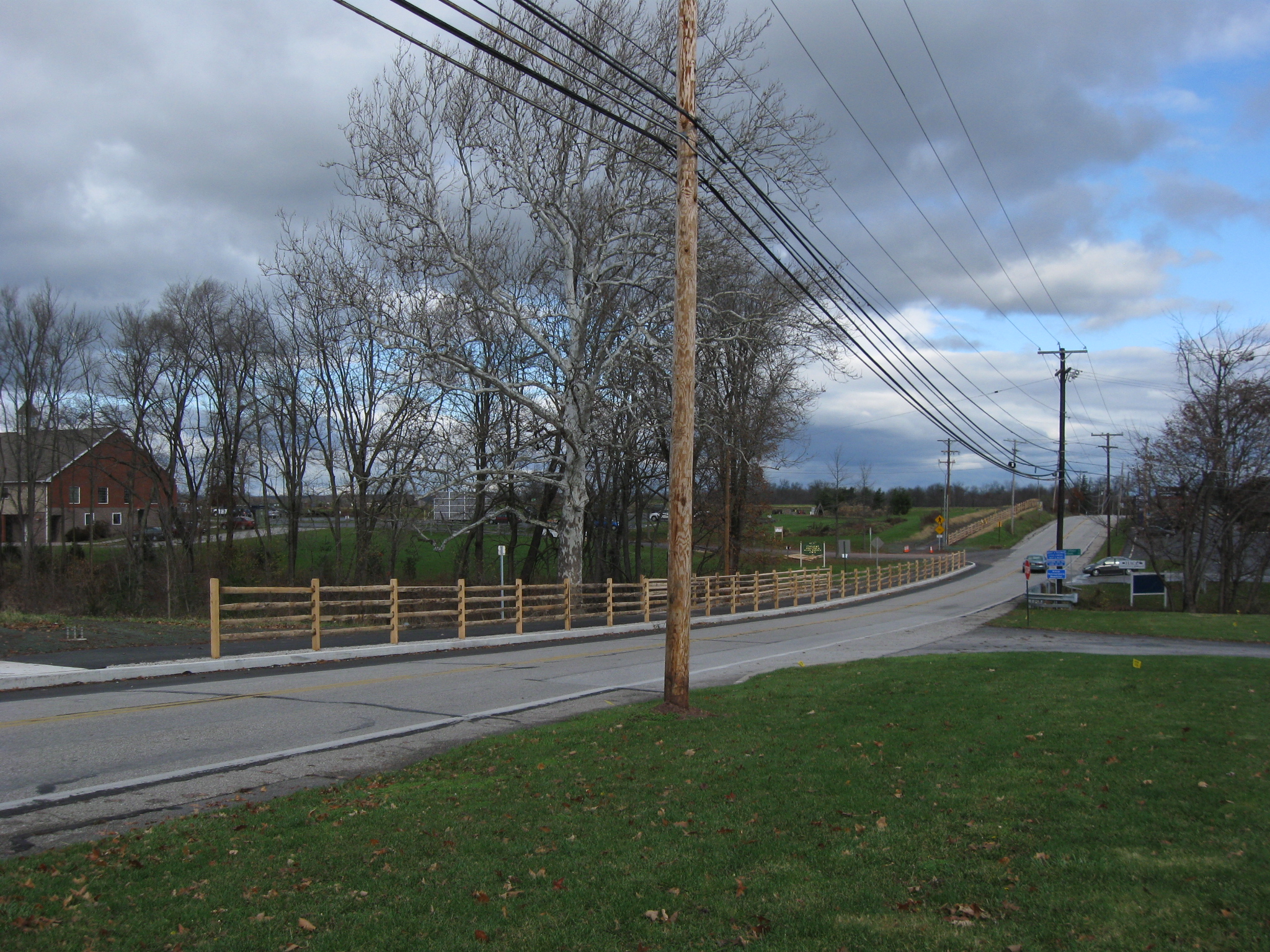
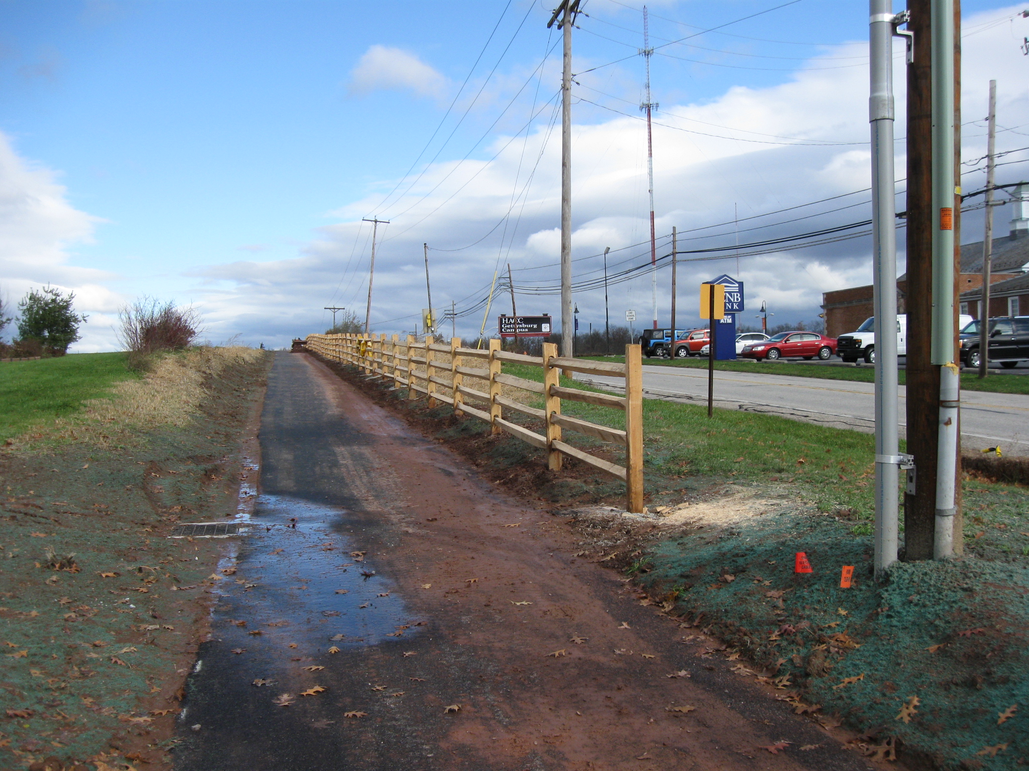
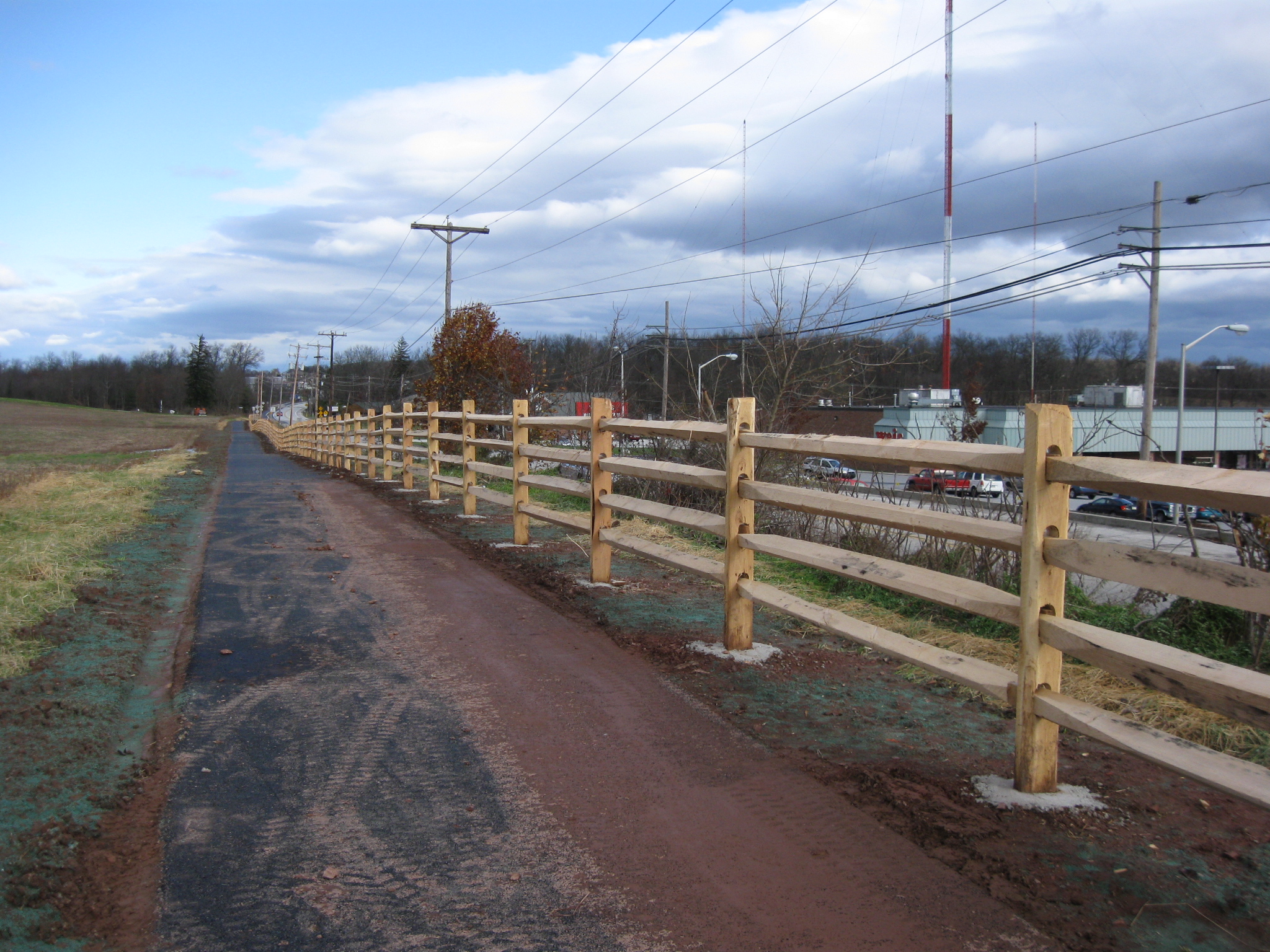
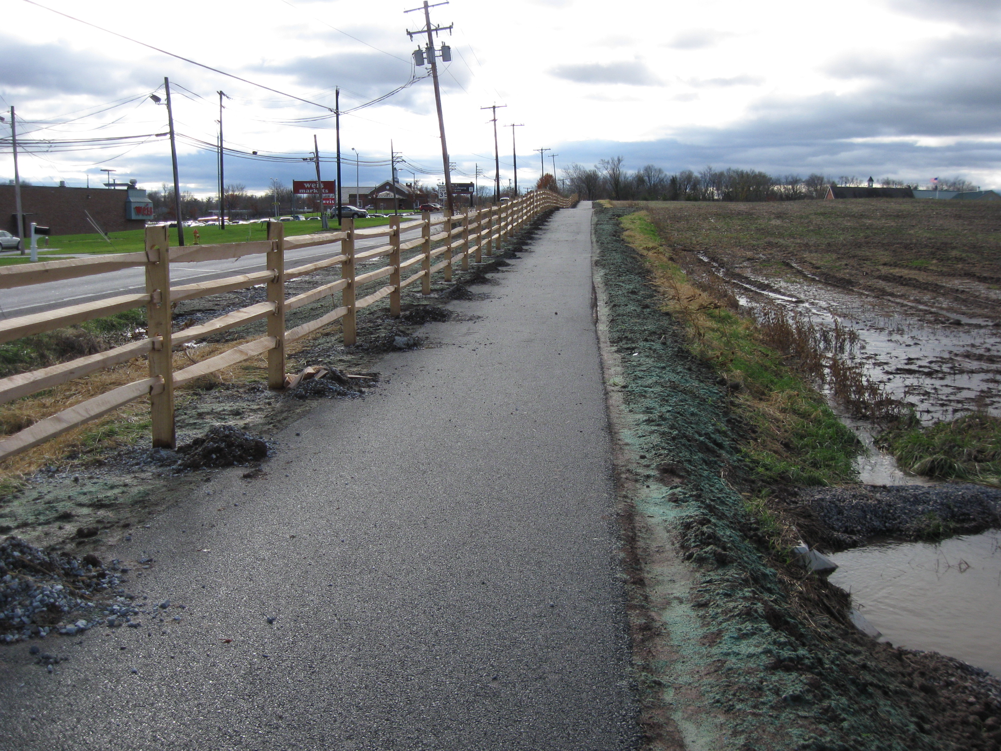
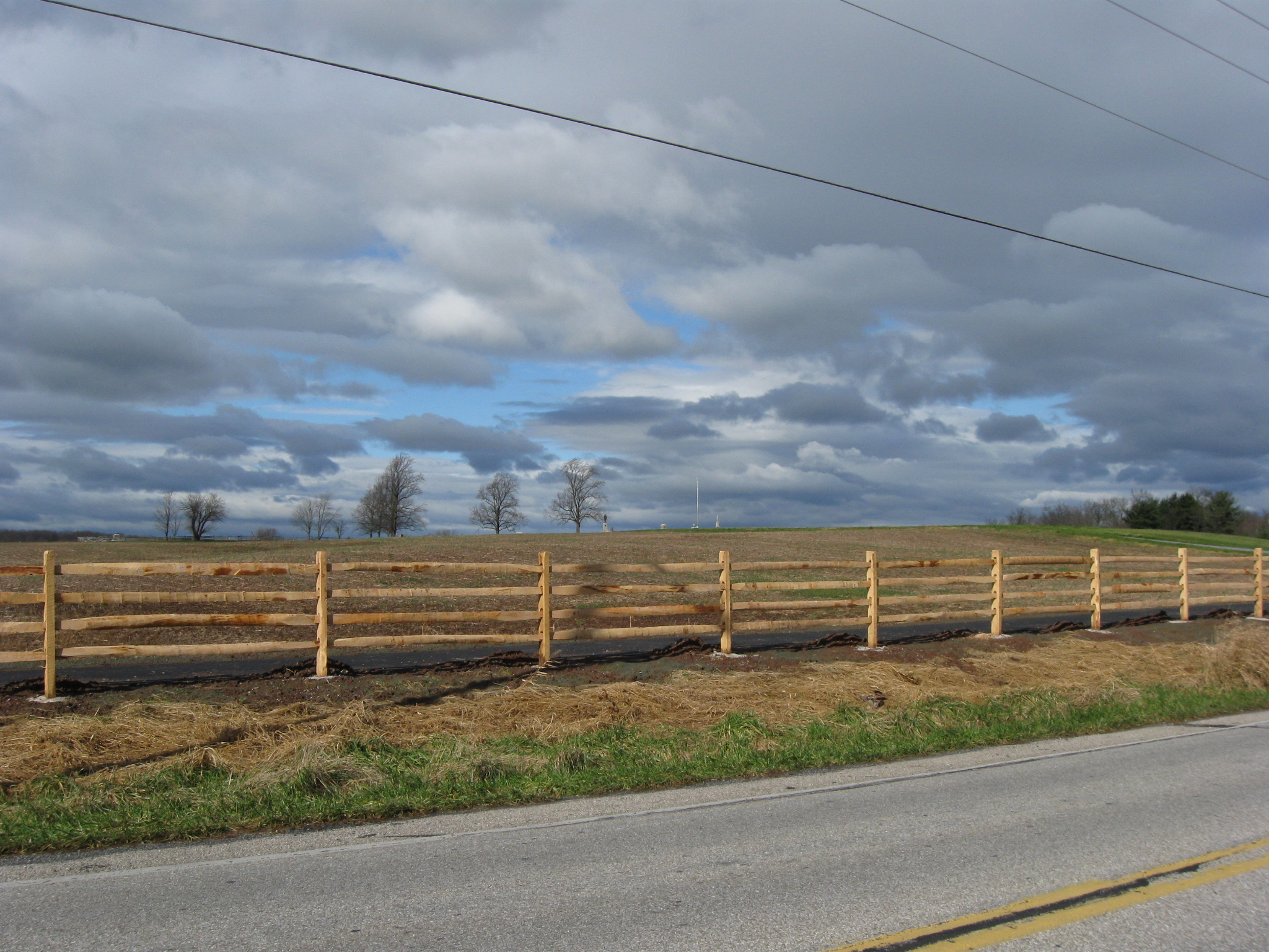
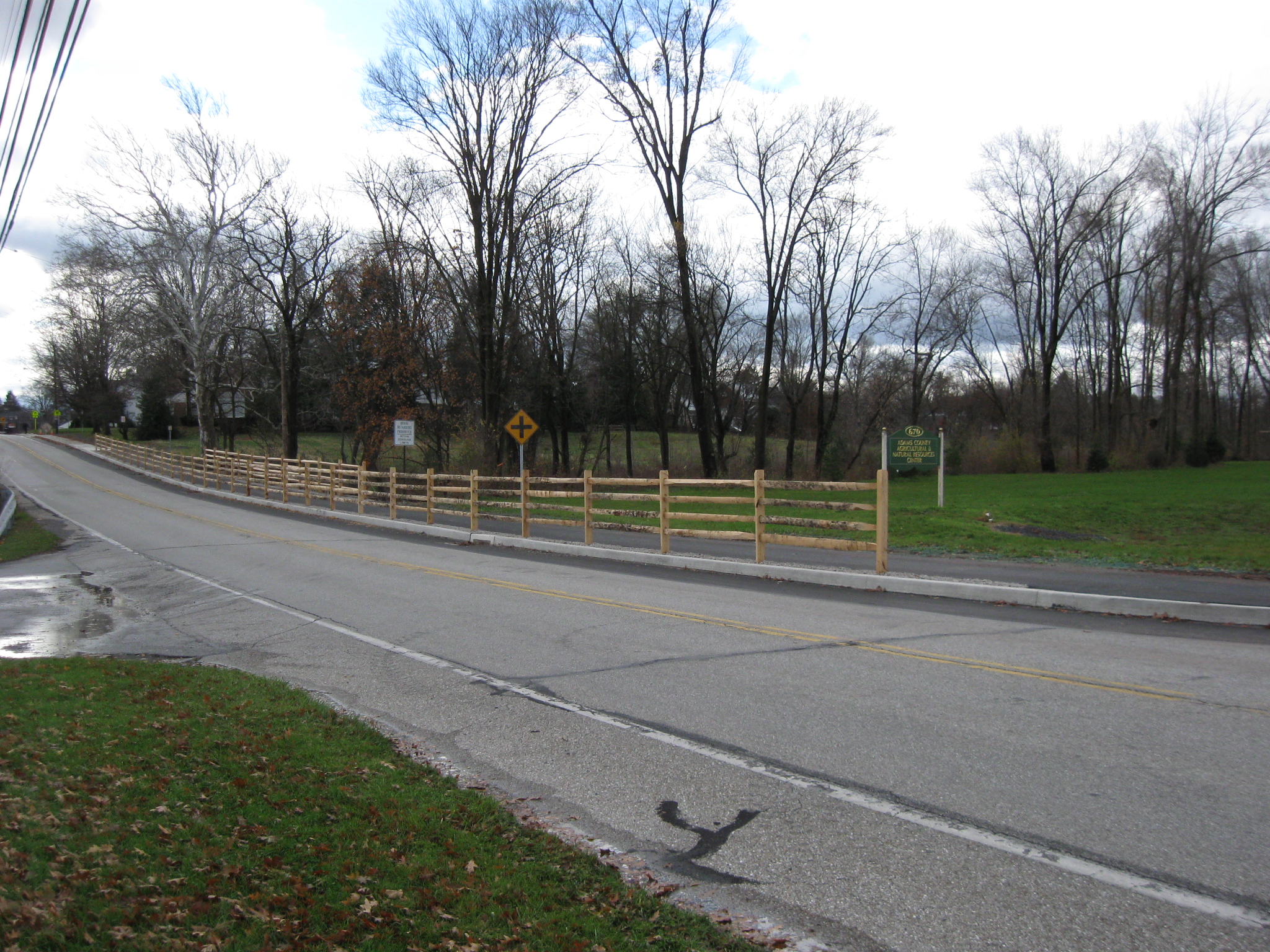
A post and rail fence is being completed on the Adams County Property of the North Gettysburg Trail. The Adams County Agricultural and Natural Resources Center is in the left background. The Old Harrisburg Road (Business Route 15) is the road on this (east) side of the trail. This view was taken facing north at approximately 12:00 PM on Wednesday, November 23, 2011.
In today’s progress of the North Gettysburg Trail, a rails have been added to the posts for the post and rail fence. We walked down the trail to show you the fence, but we came back east of the Old Harrisburg Road to give you another view.
See our previous related posts:
North Gettysburg Trail Update: Fence Posts and Signage on November 22, 2011
North Gettysburg Trail: November Walk Pt. 2 on November 11, 2011
North Gettysburg Trail: November Walk Pt. 1 on November 9, 2011
Unfinished Work North of Gettysburg on October 21, 2011
North Gettysburg Trail Project Delayed on September 23, 2011
Construction Update: September 1st on September 1, 2011
North Gettysburg Trail to Complete in September on July 28, 2011
North Gettysburg trail “Deep and Wide” on Adams County Property on June 30, 2011
North Gettysburg Trail Finally Set to Begin Construction on May 13, 2011
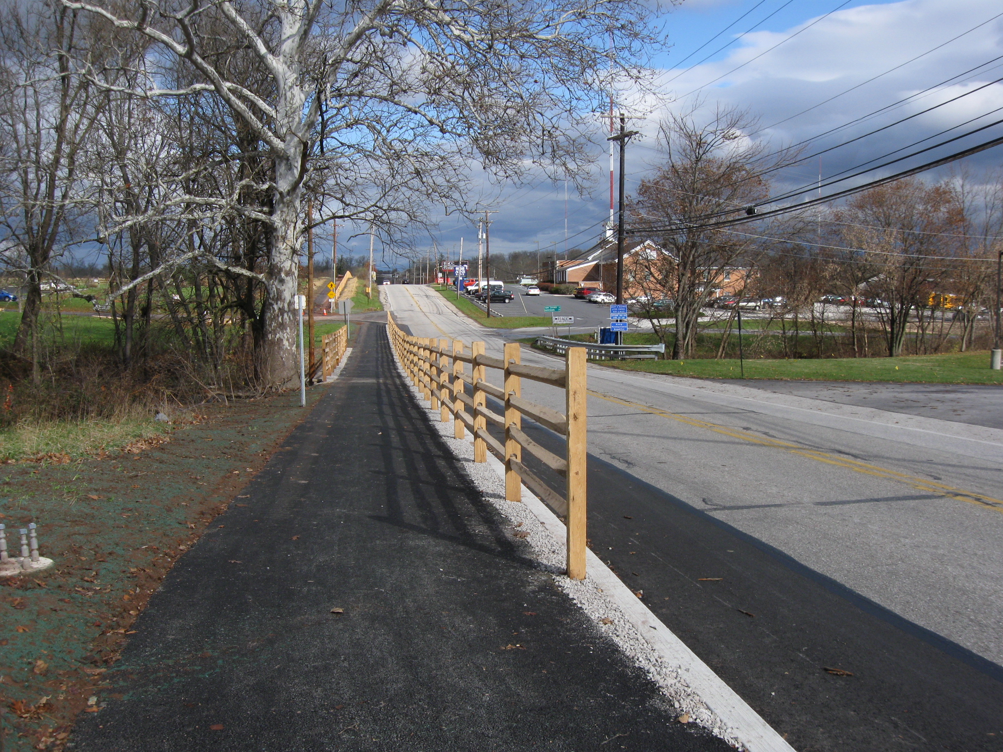
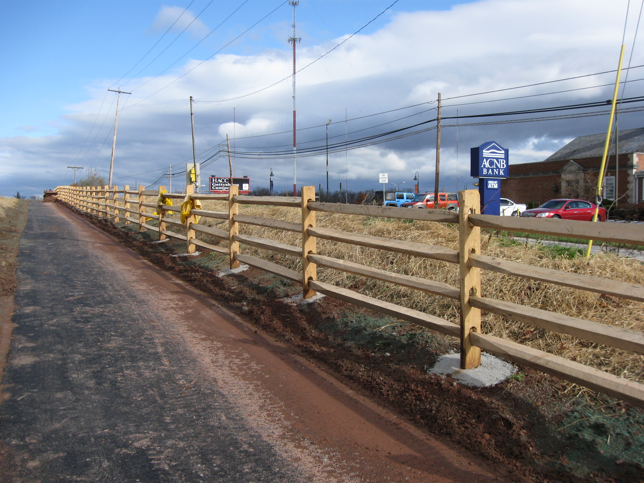
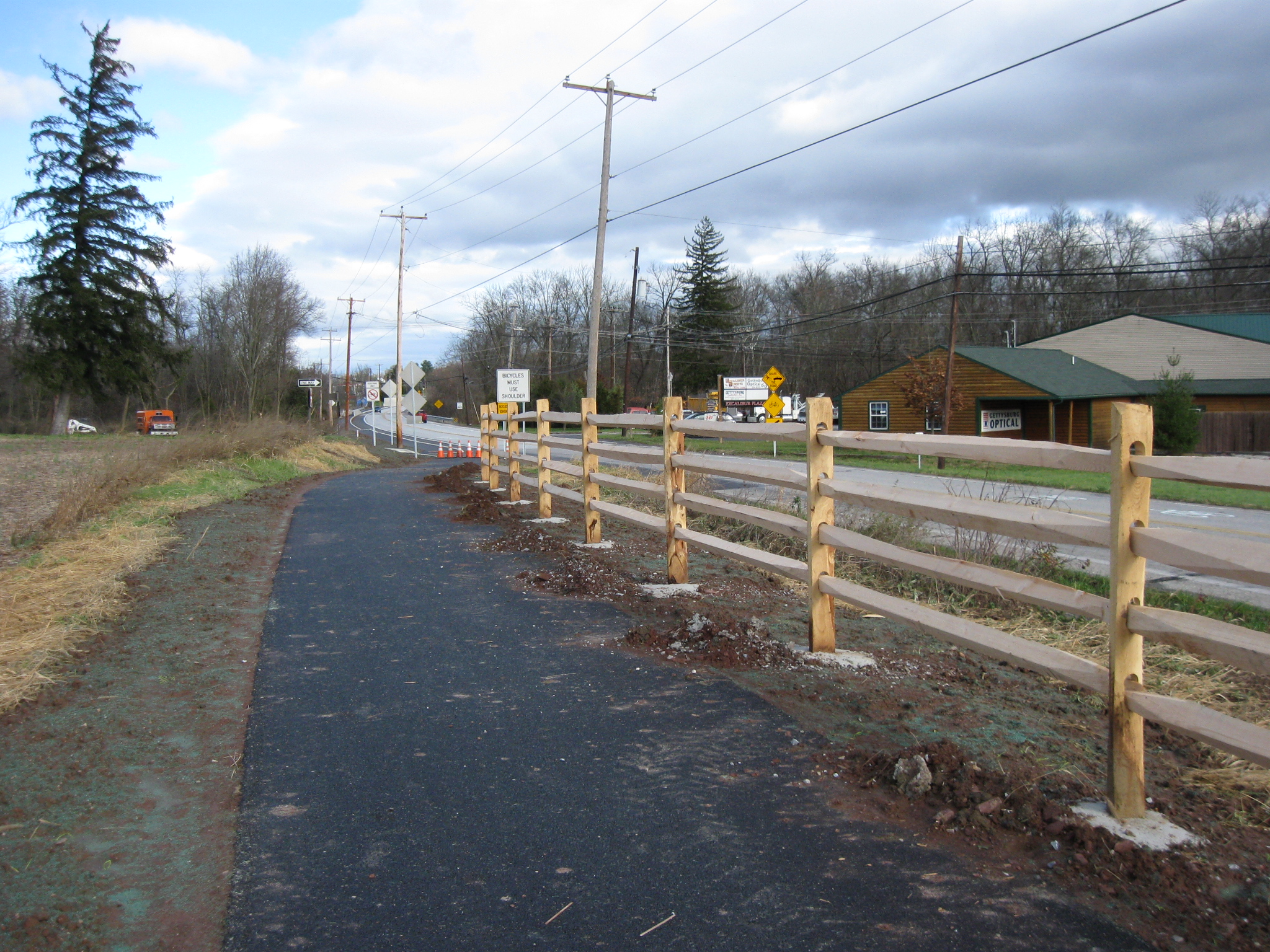
We will walk along the trail on our way to Howard Avenue. When we return, we will take a different route. The Adams County National Bank building is in the right background. This view was taken facing northeast at approximately 12:00 PM on Wednesday, November 23, 2011.
At the bottom of the slope, the fence is located on both sides of the trail. The fence on the left (west) side of the trail is needed… This view was taken facing east facing northeast at approximately 12:00 PM on Wednesday, November 23, 2011.
…because the trail crosses Alms House Run in this location. This view was taken facing northwest at approximately 12:00 PM on Wednesday, November 23, 2011.
Alms House Run is frequently very low and hardly visible. Today it was higher as it takes the runoff from the recent rains to Rock Creek, which is approximately 530 yards behind (east of) the camera position. This view was taken facing northwest at approximately 12:00 PM on Wednesday, November 23, 2011.
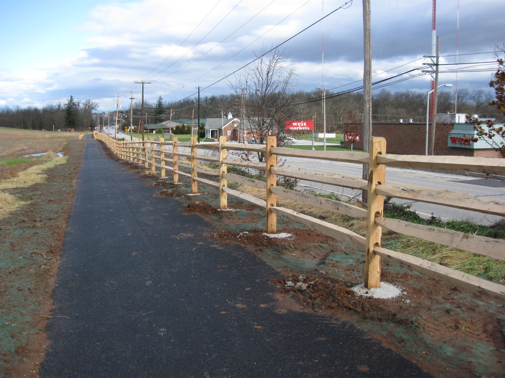
We’ll continue up the rise. The Adams County National Bank building is in the center of this view. To the right of it are other structures which are part of the North Gettysburg Shopping Center. This view was taken facing northeast at approximately 12:00 PM on Wednesday, November 23, 2011.
We’re crossing the driveway of the Adams County Agricultural and Natural Resources Center, which occupies the grounds of the old Adams County Alms House. This view was taken facing northeast at approximately 12:00 PM on Wednesday, November 23, 2011.
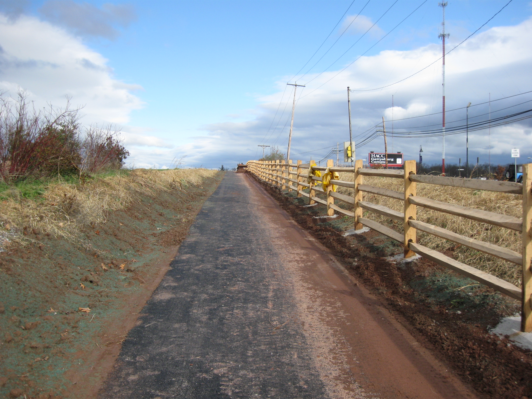
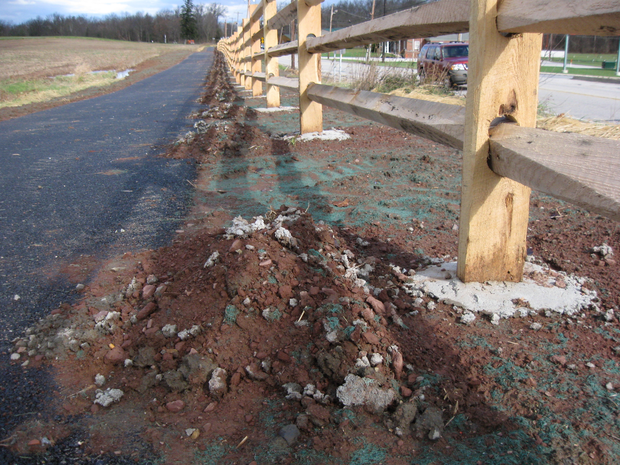
The new fence posts closest to the camera have had their concrete foundations covered with dirt. This view was taken facing northeast at approximately 12:00 PM on Wednesday, November 23, 2011.
Farther up the slope, the concrete bases are still exposed. This view was taken facing southeast at approximately 12:00 PM on Wednesday, November 23, 2011.
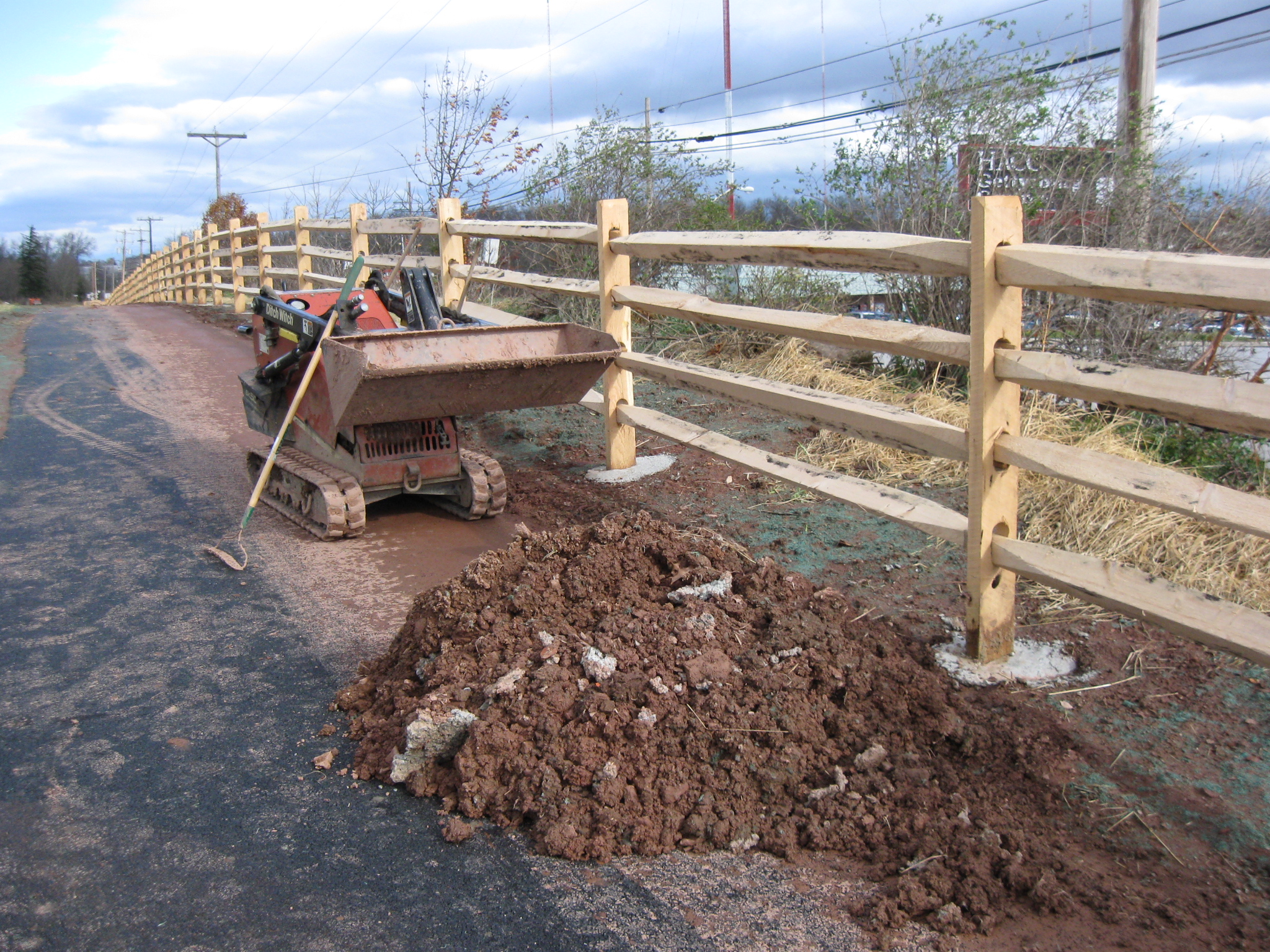
At the top of this slope is a piece of equipment. This view was taken facing northeast at approximately 12:00 PM on Wednesday, November 23, 2011.
It is used to help with the landscaping, especially with carrying the dirt that will be placed at the bottom of the fence posts. This view was taken facing northeast at approximately 12:00 PM on Wednesday, November 23, 2011.
Looking back the way we came. In the left background is the Eisenhower Elementary School building. This view was taken facing southwest at approximately 12:00 PM on Wednesday, November 23, 2011.
Continuing north, the Weis Supermarket is in the right background. It is part of the North Gettysburg Shopping Center. This view was taken facing northeast at approximately 12:00 PM on Wednesday, November 23, 2011.
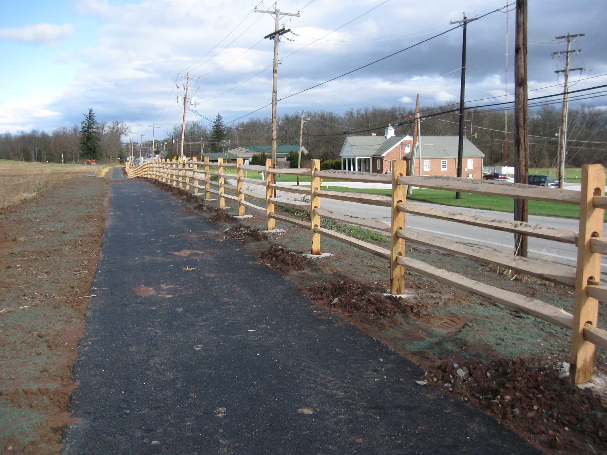
Piles of dirt are now appearing beside the posts. This view was taken facing northeast at approximately 12:00 PM on Wednesday, November 23, 2011.
The piles of dirt stretch from here to Howard Avenue, which is in the area of the orange vehicle in the center background. This view was taken facing northeast at approximately 12:00 PM on Wednesday, November 23, 2011.
The building in the right background used to be the home for the local radio stations, WGET and WGTY. The radio towers are still in the right background. The radio station itself is now located in the Gettysburg Times complex on the Fairfield/Hagerstown Road. This view was taken facing northeast at approximately 12:00 PM on Wednesday, November 23, 2011.
The trail is now coming back to the level of the Harrisburg Road. This view was taken facing northeast at approximately 12:00 PM on Wednesday, November 23, 2011.
Looking back from where we came. The North Gettysburg Shopping Center is in the left background. The roofs of the Adams County Agricultural and Natural Resources Center are visible in the right background. The land on the right (west) of the trail belongs to Adams County. This view was taken facing southwest at approximately 12:00 PM on Wednesday, November 23, 2011.
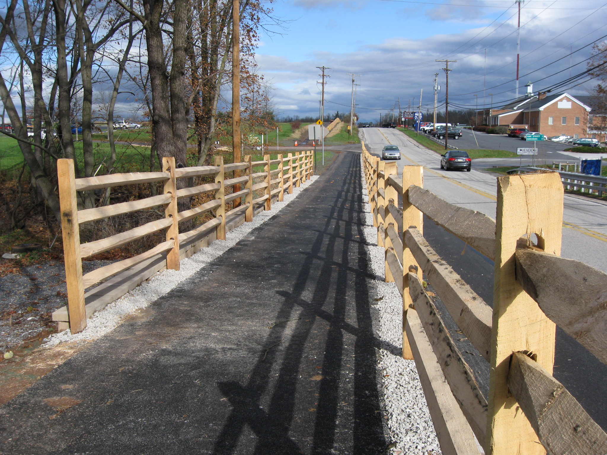
We are nearing the end of the fence. This view was taken facing northeast at approximately 12:00 PM on Wednesday, November 23, 2011.
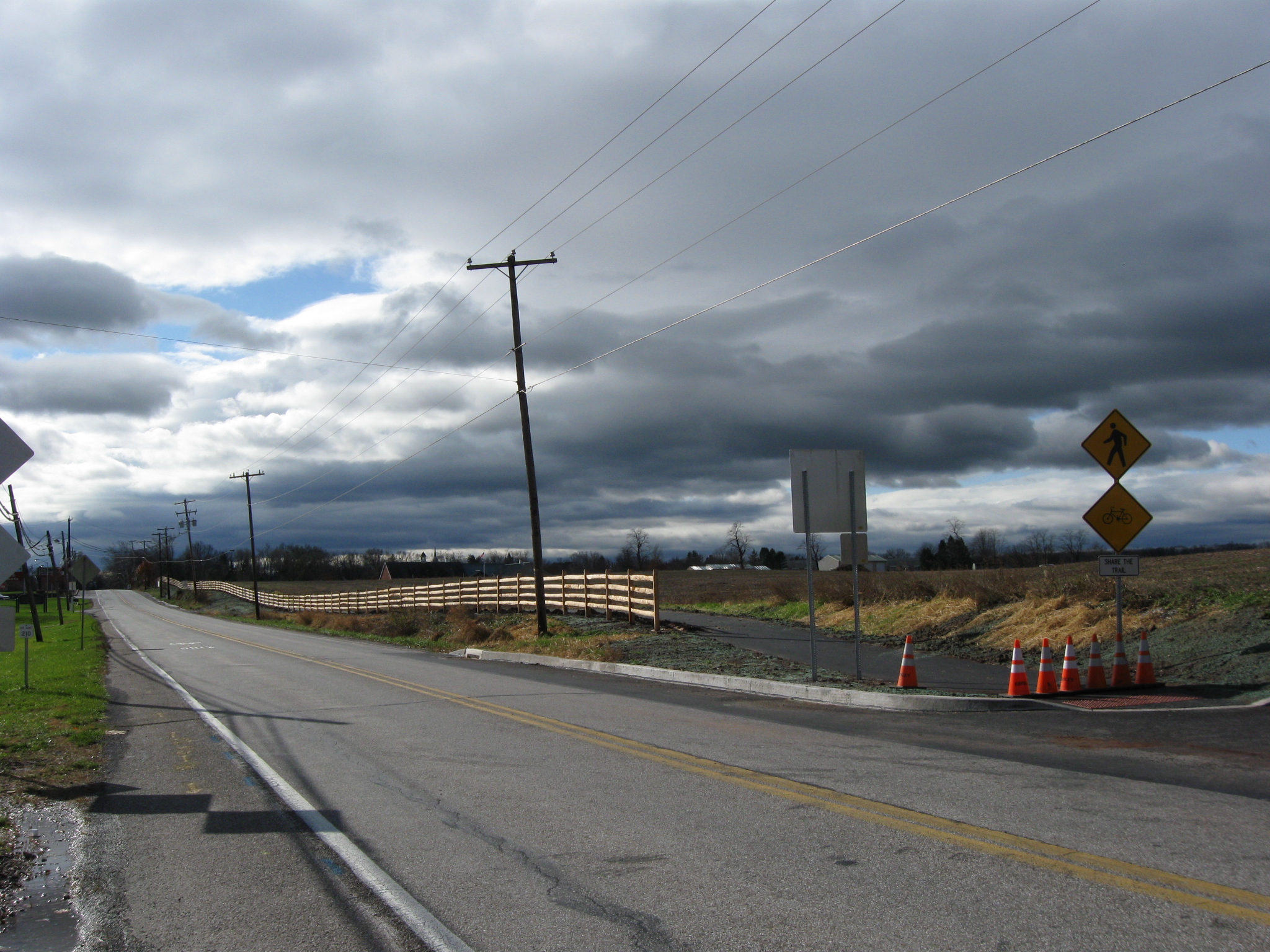
The fence ends at Howard Avenue where the orange cones are placed across the trail. This view was taken facing northeast at approximately 12:00 PM on Wednesday, November 23, 2011.
We’re now standing on the east side of the Old Harrisburg Road, and will start walking back. The entrance to Howard Avenue is partly visible on the right. This view was taken facing southwest at approximately 12:00 PM on Wednesday, November 23, 2011.
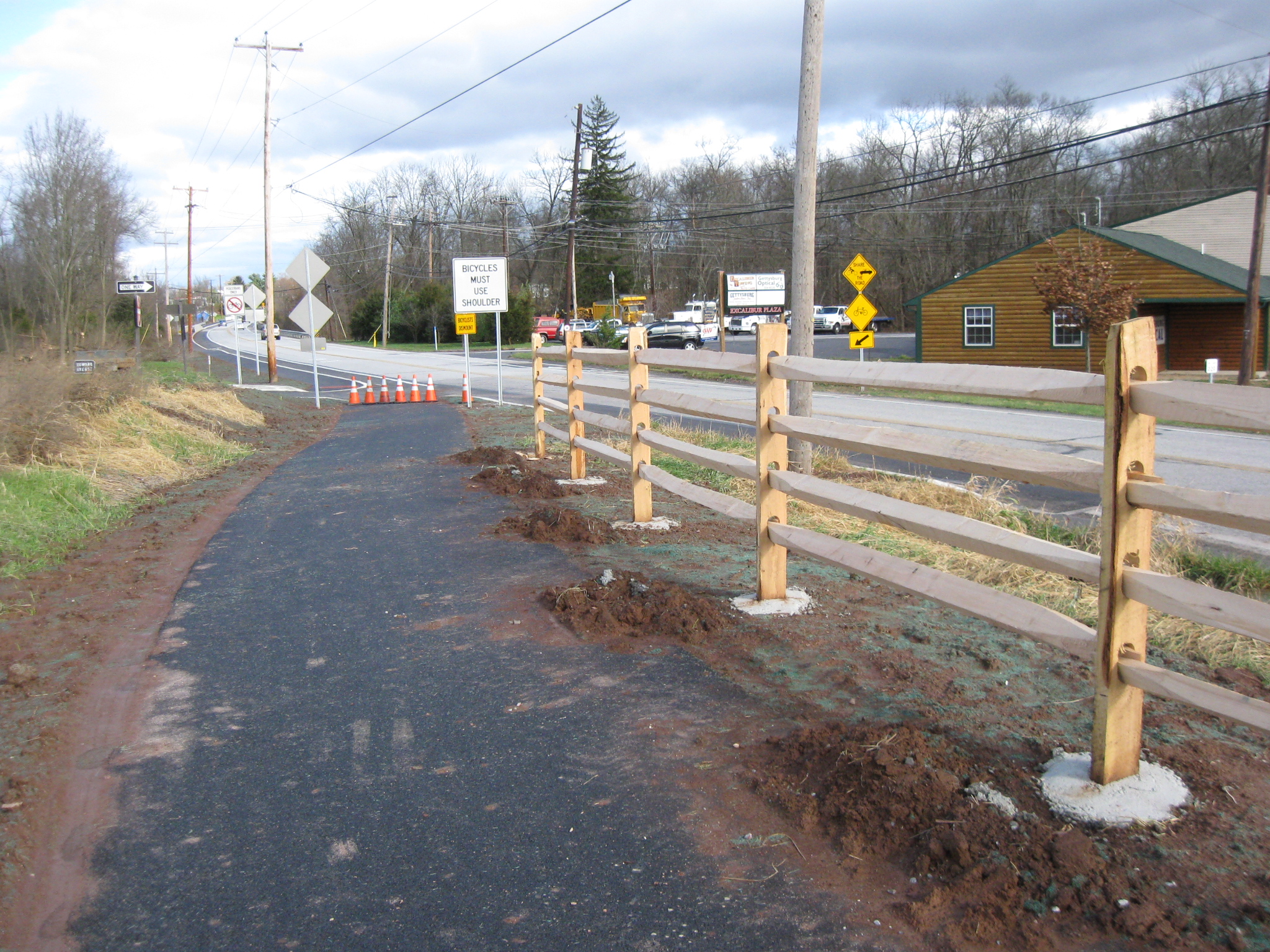
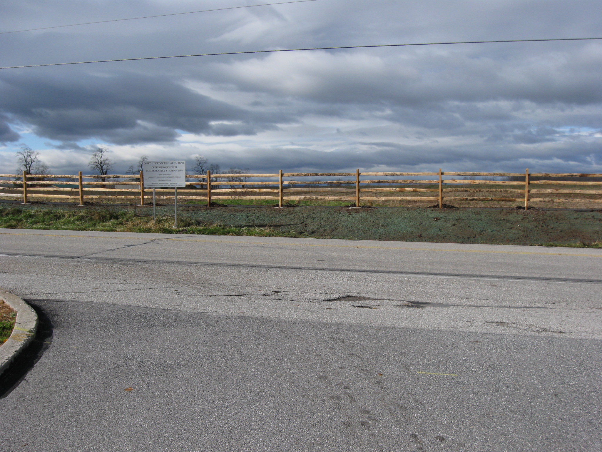
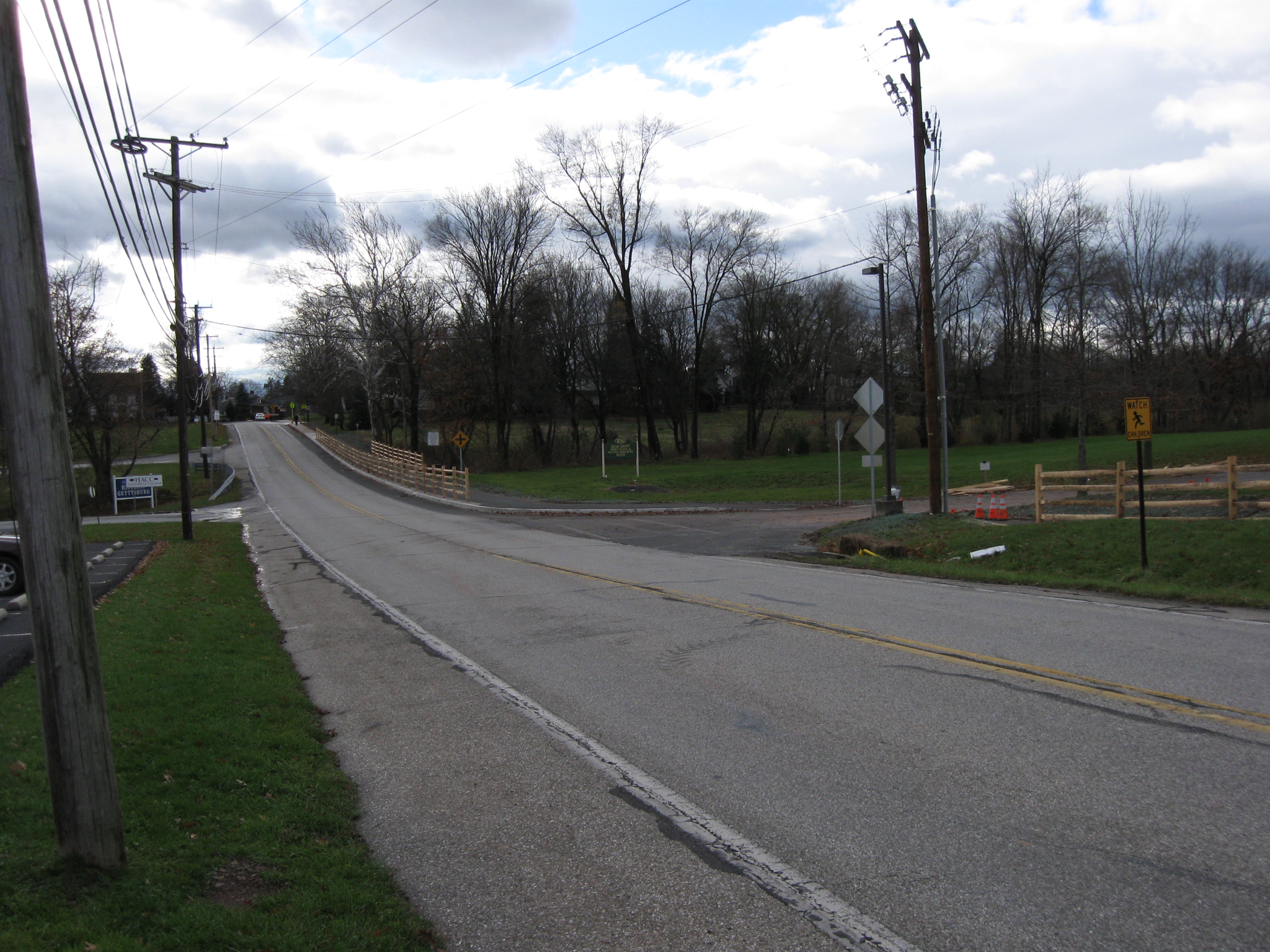
In this area is the first warning to motorists that are traveling north on the Old Harrisburg Road that the bike “path” is going to begin near their lane. This view was taken facing southwest at approximately 12:00 PM on Wednesday, November 23, 2011.
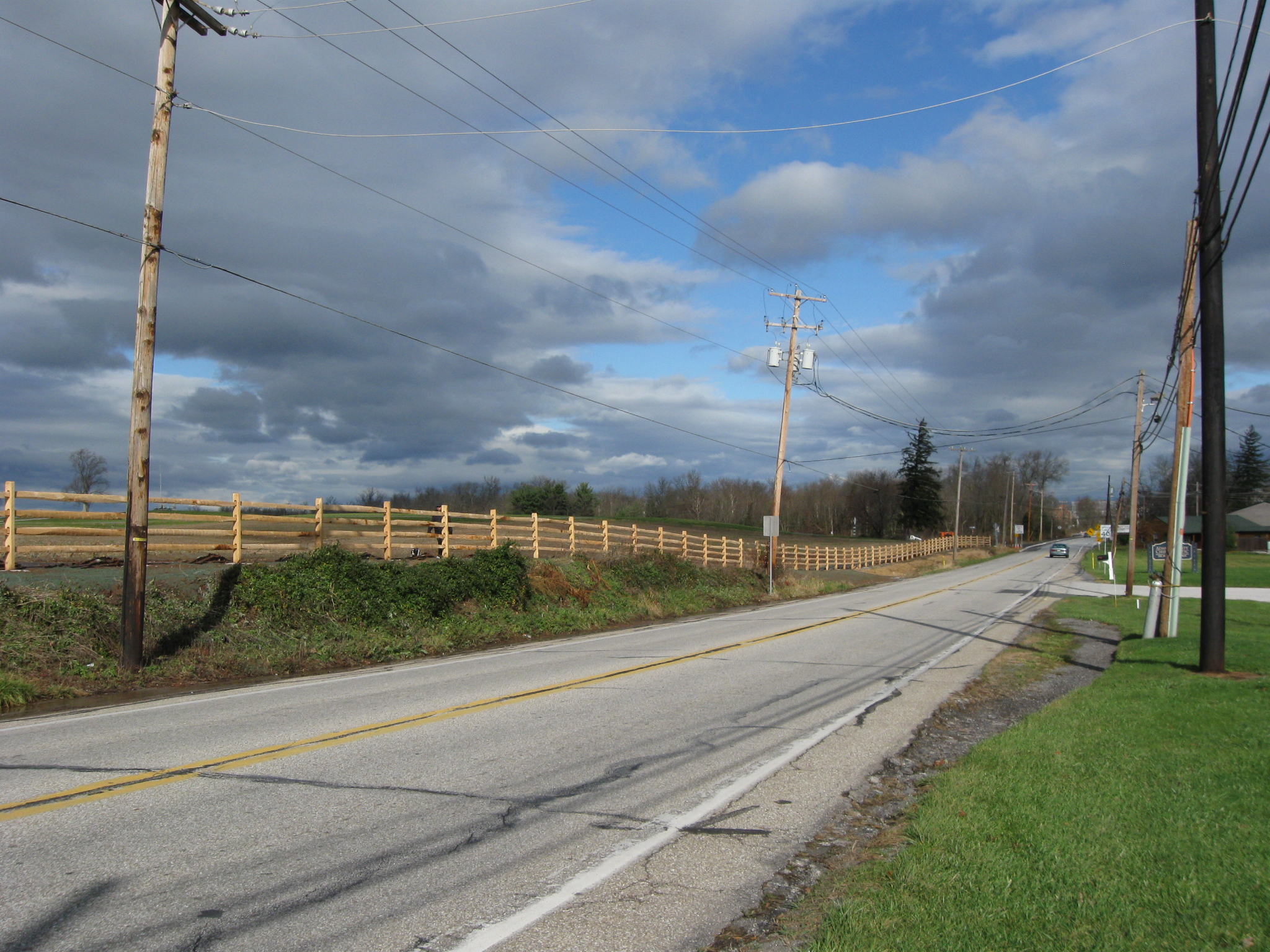
Barlow’s Knoll/Blocher’s Knoll is in the center background topped by some monuments. This view was taken facing north at approximately 12:00 PM on Wednesday, November 23, 2011.
We are now approaching the North Gettysburg Shopping Center, which is out of sight on the right. This view was taken facing northeast at approximately 12:00 PM on Wednesday, November 23, 2011.
We do like the North Gettysburg Trail. However, when we exit the driveway by the Weis Supermarket is one of the reasons that we think the fence should at least have some openings to it. If a resident of the town/college student wanted to use the trail to walk to the grocery store, they cannot access the shopping center from the trail. Couldn’t the fence rails be removed from at least one section in this area, and a crosswalk painted? This view was taken facing west at approximately 12:00 PM on Wednesday, November 23, 2011.
Here’s who you would write to if you would want that to happen. This view was taken facing west at approximately 12:00 PM on Wednesday, November 23, 2011.
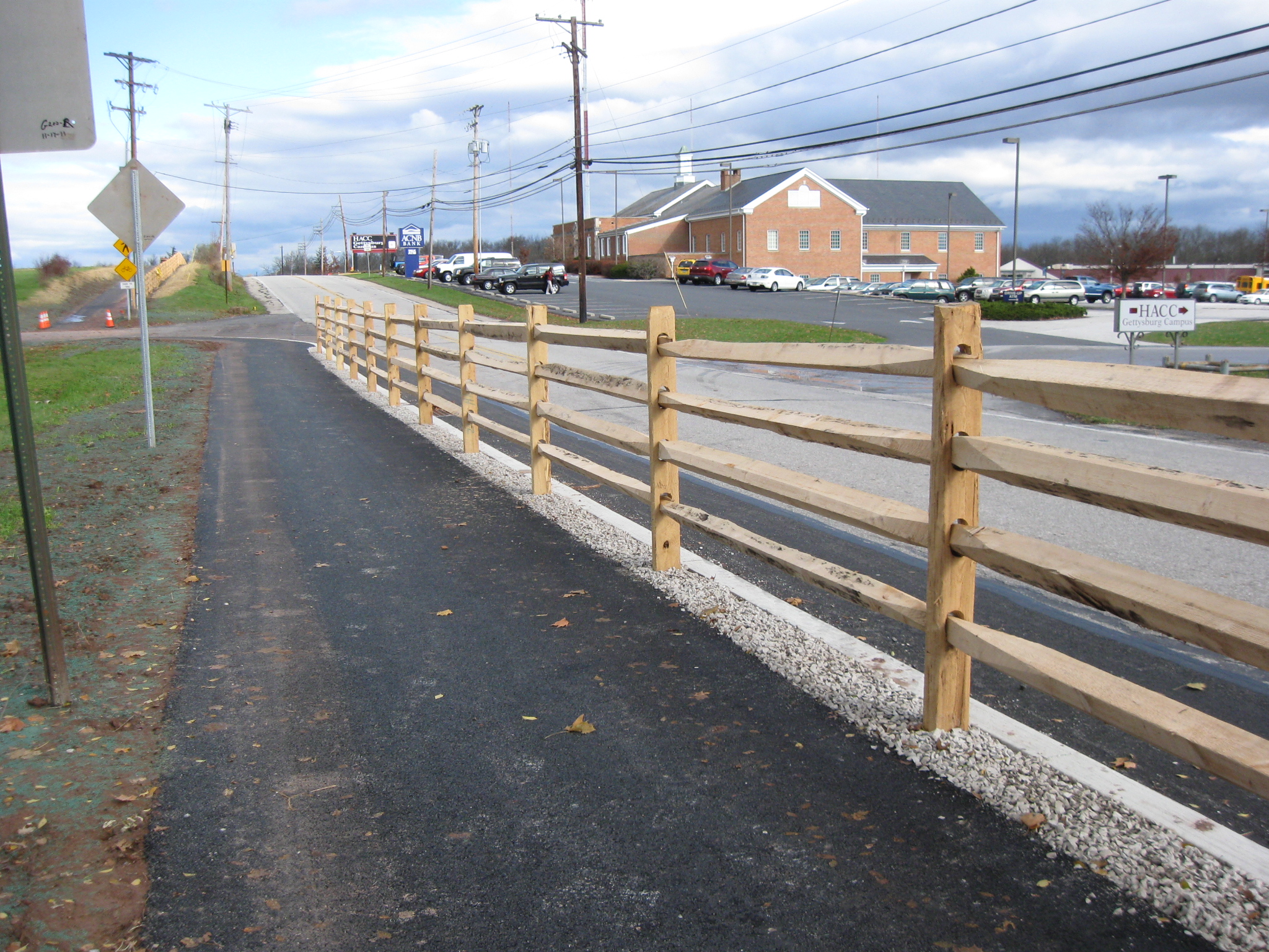
We are now at the top of the slope where the Adams County National Bank building sits out of sight on the right. This view was taken facing north at approximately 12:00 PM on Wednesday, November 23, 2011.
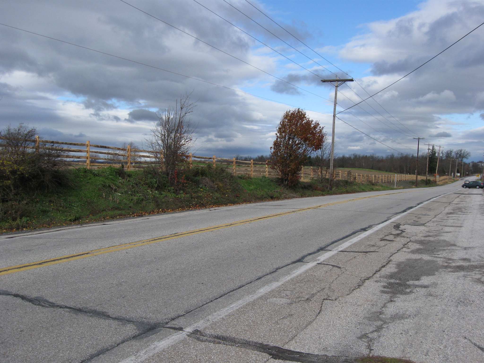
We’ll start heading downhill back towards the Alms House Run. This view was taken facing southwest at approximately 12:00 PM on Wednesday, November 23, 2011.
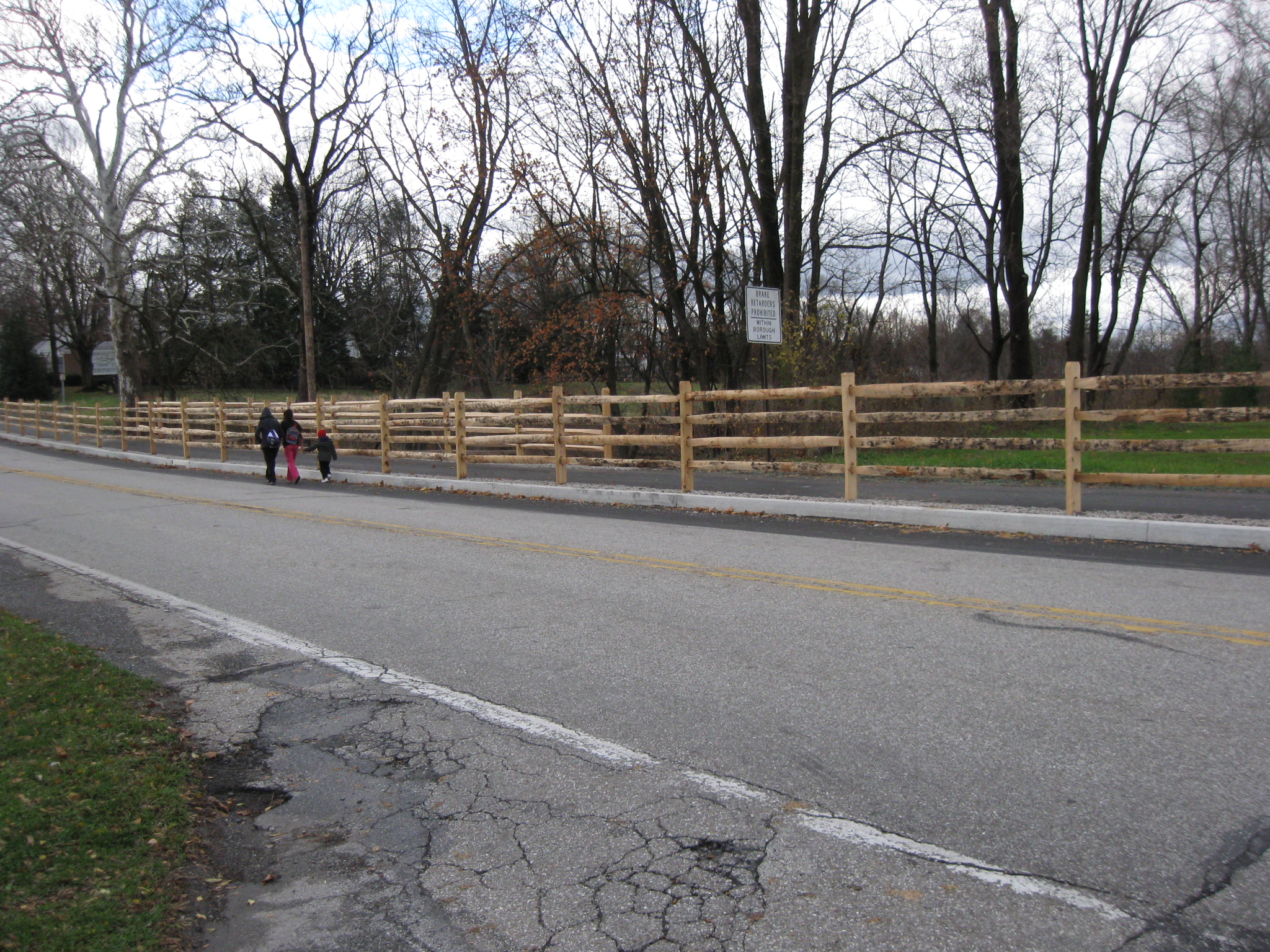
On the left is another driveway leading traffic to the North Gettysburg Shopping Center. Walkers leaving the shopping center and wanting to walk towards town should know that they will have to walk to the right a little to get around the fence. Then they take a left and walk towards the town. This view was taken facing southwest at approximately 12:00 PM on Wednesday, November 23, 2011.
However, these youngsters didn’t figure it out. They are walking near the traffic while the fences are keeping them from reaching a safer area. This view was taken facing west at approximately 12:00 PM on Wednesday, November 23, 2011.