
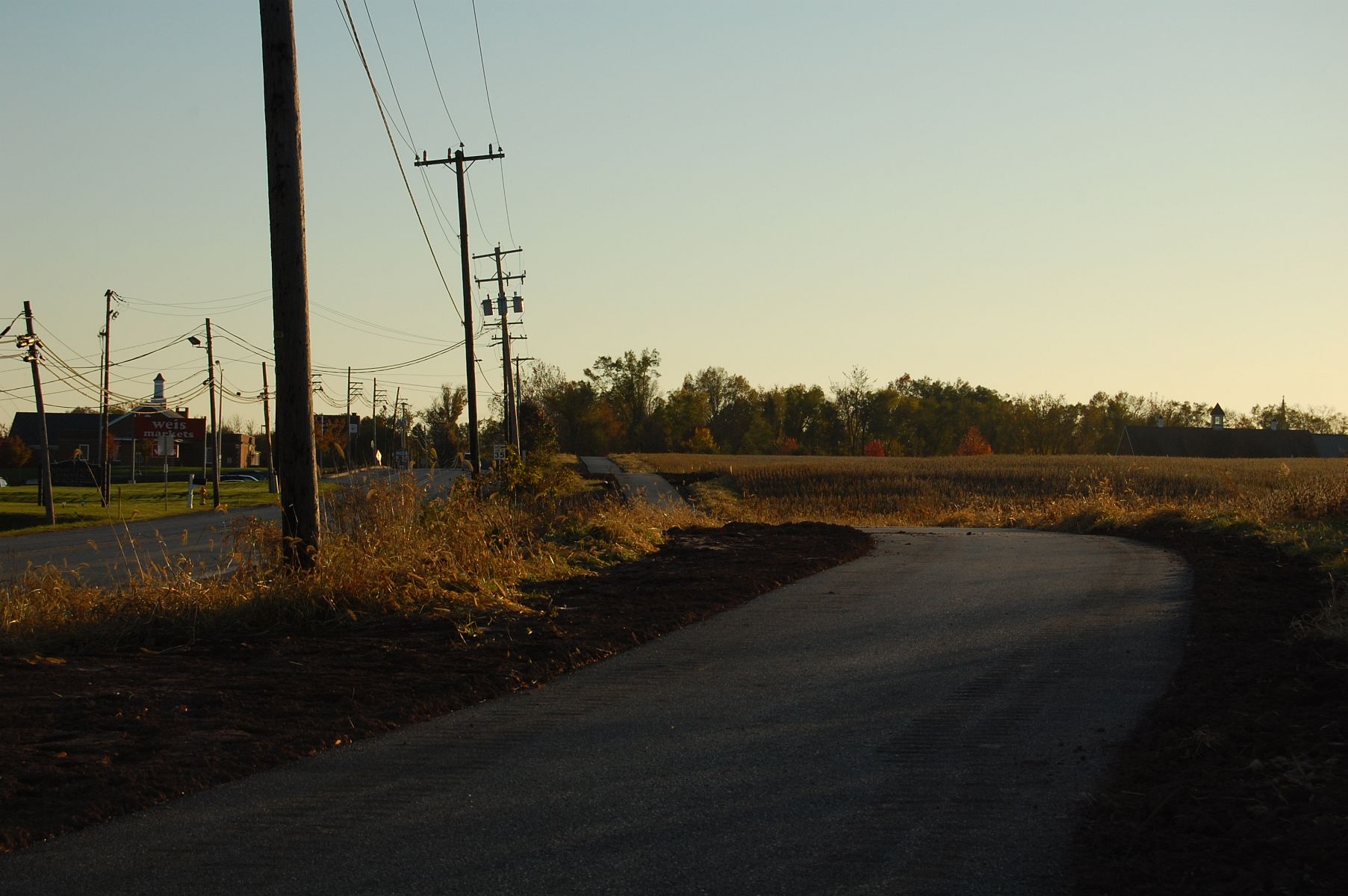
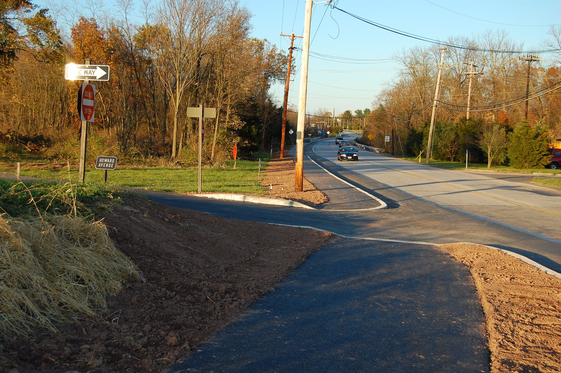
The North Gettysburg Trail, as seen from Howard Avenue. This view was taken facing southwest at approximately 5:20 PM on Sunday, November 6, 2011.
As we predicted, the North Gettysburg Trail is still incomplete. Although it missed its deadline once again, the trail has been paved and is open to foot traffic. Today we’ll take a walk and show you the southern portion of the trail as it leaves the Borough of Gettysburg.
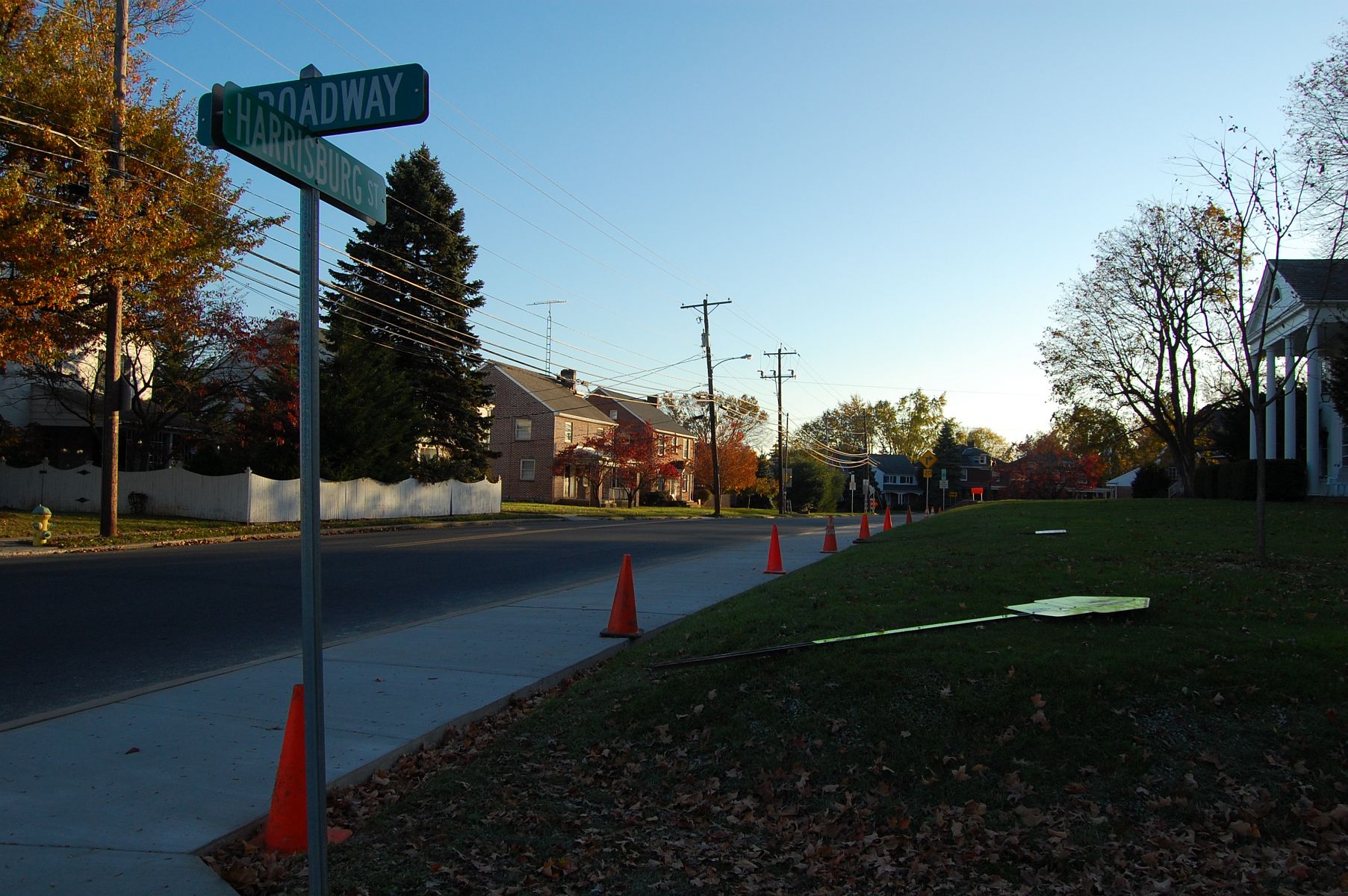
The trail begins here, at the intersection of East Broadway and the Old Harrisburg Road. The Crawford House is visible in the right-hand portion of this photo. This view was taken facing south at approximately 5:20 PM on Sunday, November 6, 2011.
We’ll start walking north. This view was taken facing northeast at approximately 5:20 PM on Sunday, November 6, 2011.
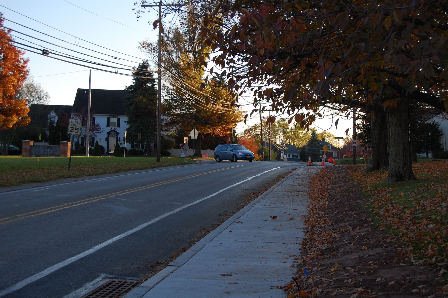
The trail starts out as a typical sidewalk. This view was taken facing northeast at approximately 5:20 PM on Sunday, November 6, 2011.

This view was taken facing northeast at approximately 5:20 PM on Sunday, November 6, 2011.

The fall weather in Gettysburg lately has made for many clear skies and cool evenings. The structure in this photo is the Eisenhower Elementary School Building. This view was taken facing east at approximately 5:20 PM on Sunday, November 6, 2011.

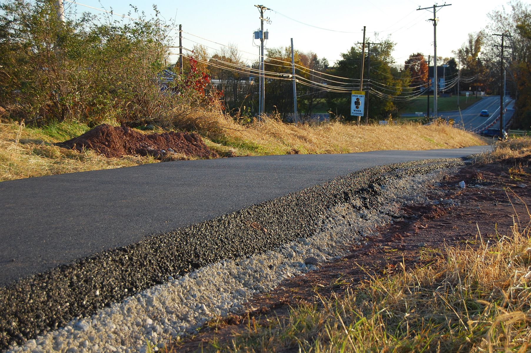
Here is where the paving starts. This view was taken facing northeast at approximately 5:20 PM on Sunday, November 6, 2011.
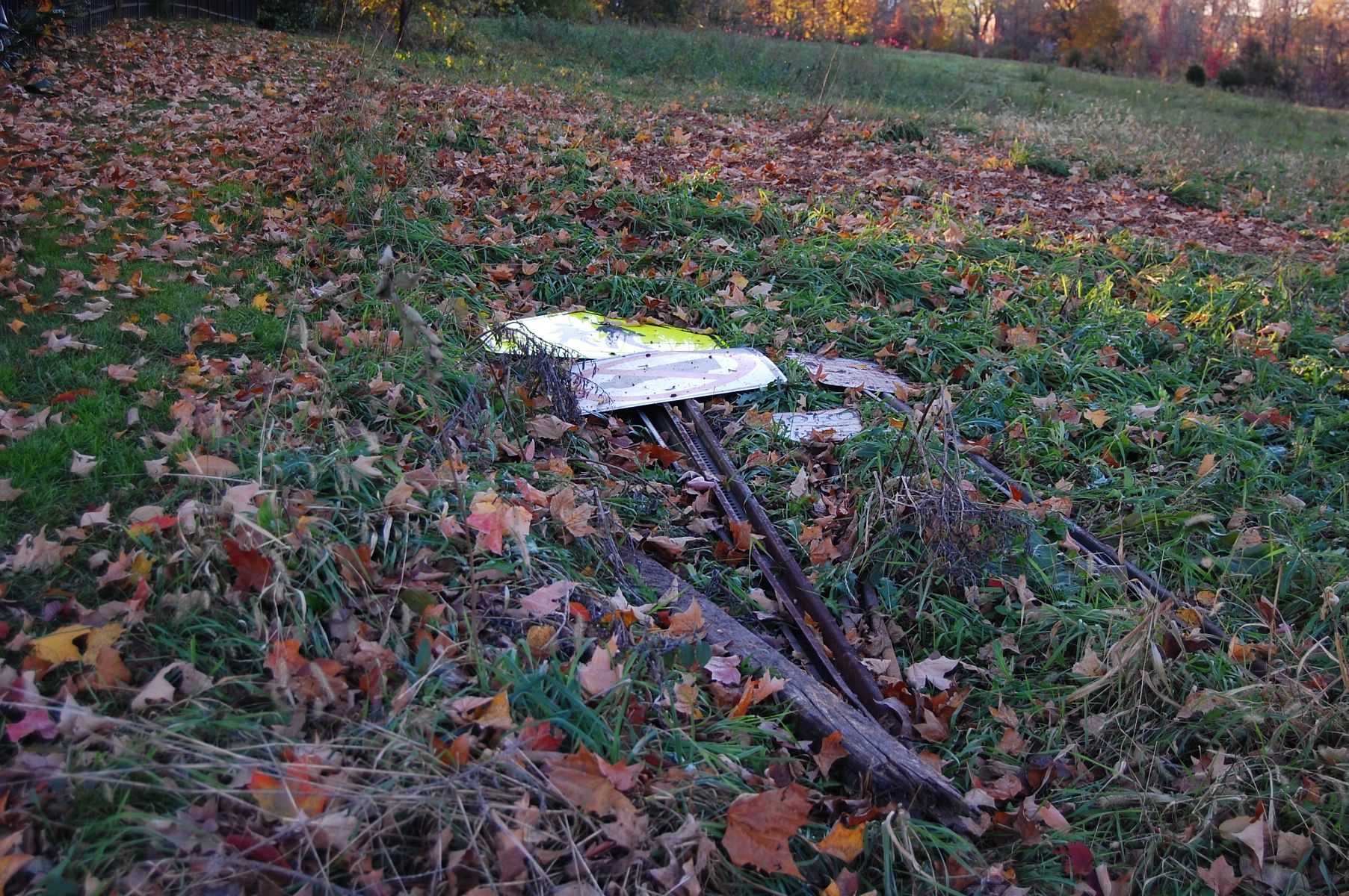
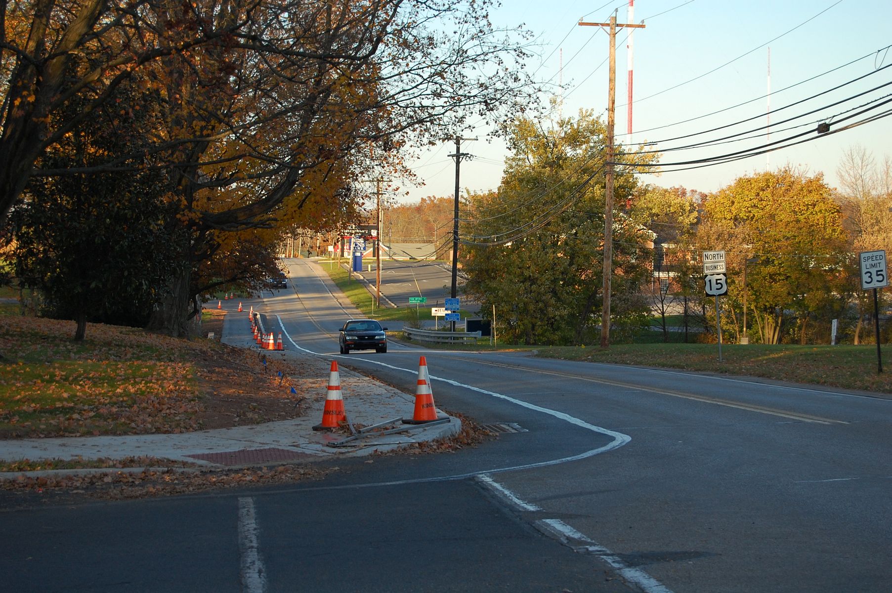
Some road-signs have yet to be put back up. This view was taken facing west at approximately 5:20 PM on Sunday, November 6, 2011.
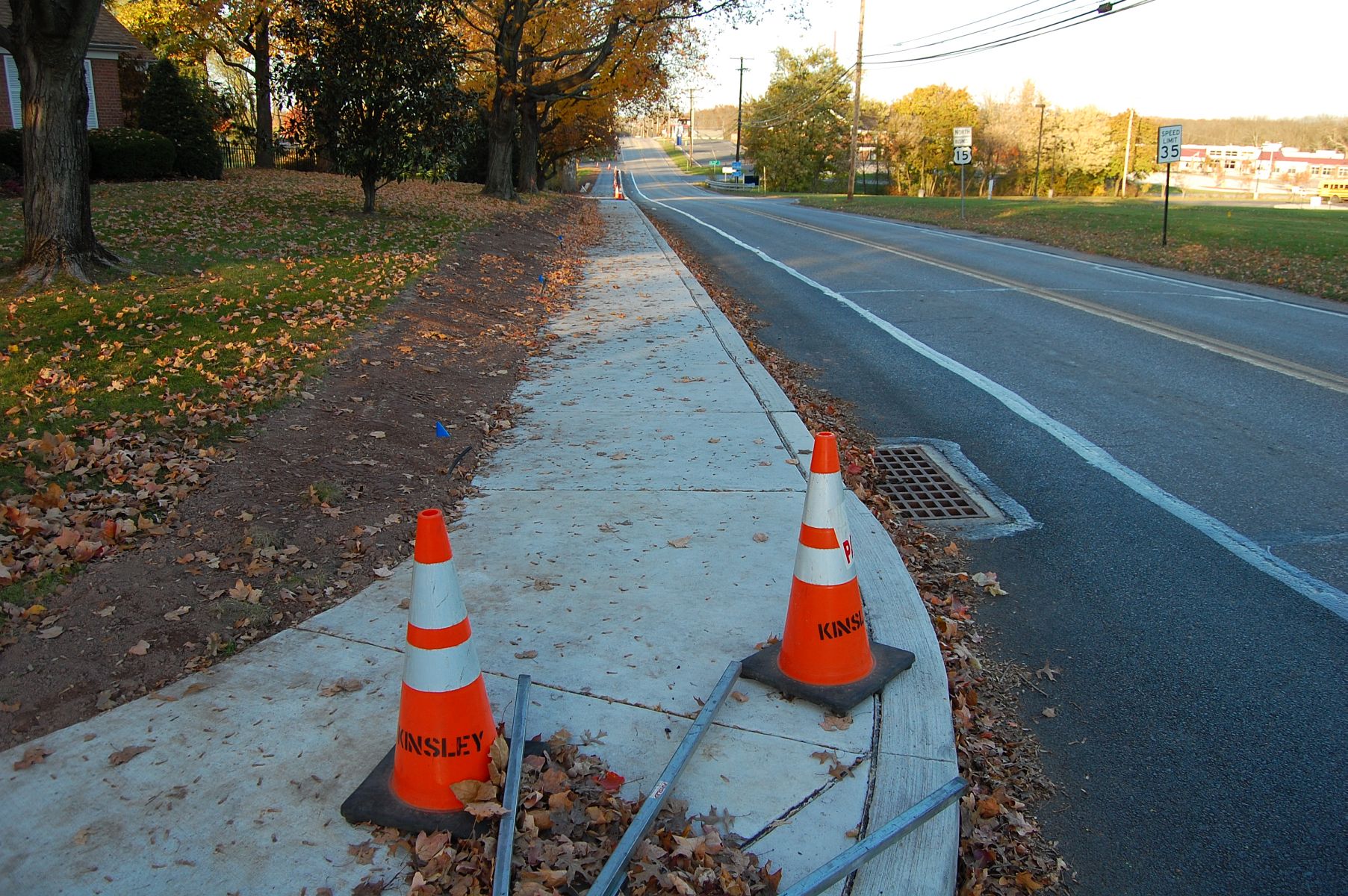
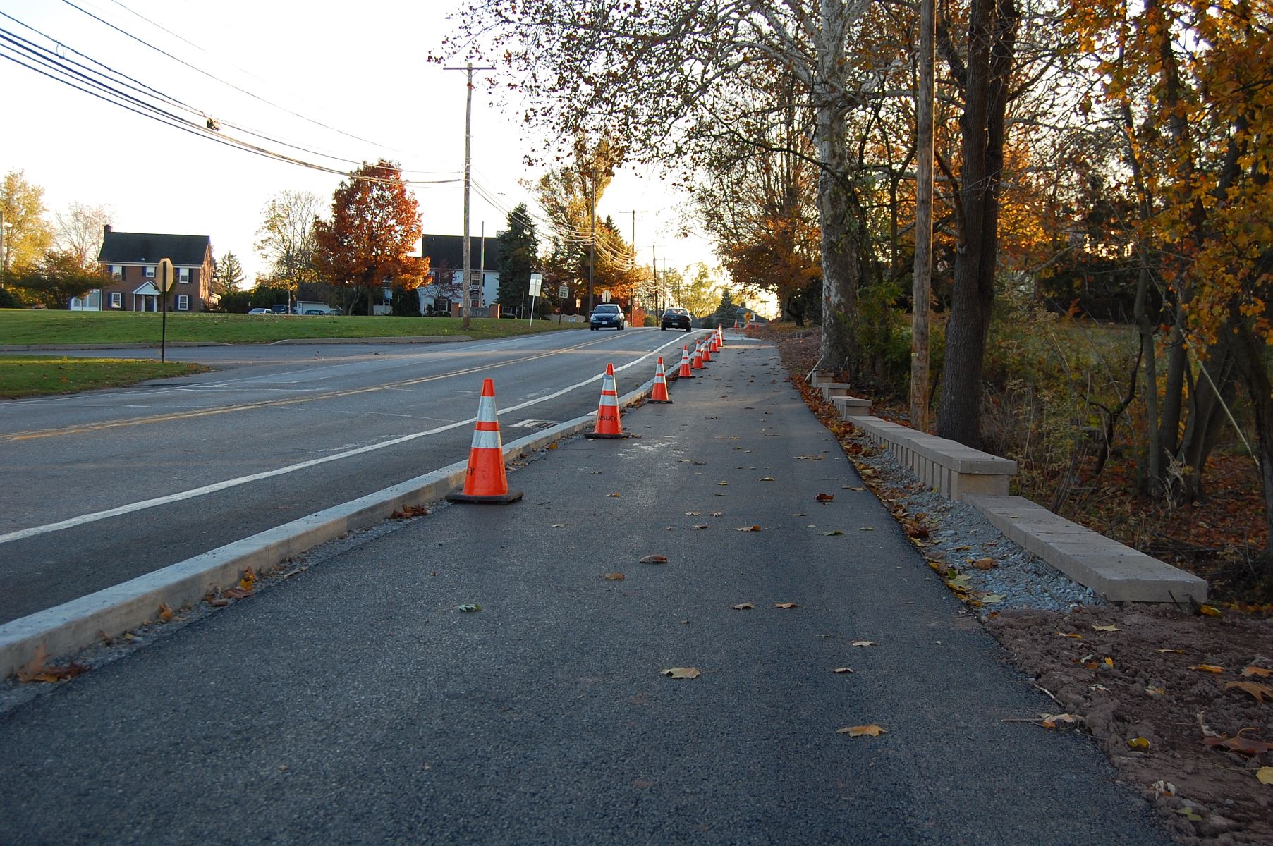
This view was taken facing south at approximately 5:20 PM on Sunday, November 6, 2011.

We spotted this Freedom Transit Trolley making a turn into the South Gettysburg Shopping Center. The bus line has recently been bailed out by the Gettysburg Foundation. The Foundation will cover the cost of all bus fares on the system until at least June of next year. This view was taken facing northeast at approximately 5:20 PM on Sunday, November 6, 2011.
This view was taken facing northeast at approximately 5:20 PM on Sunday, November 6, 2011.
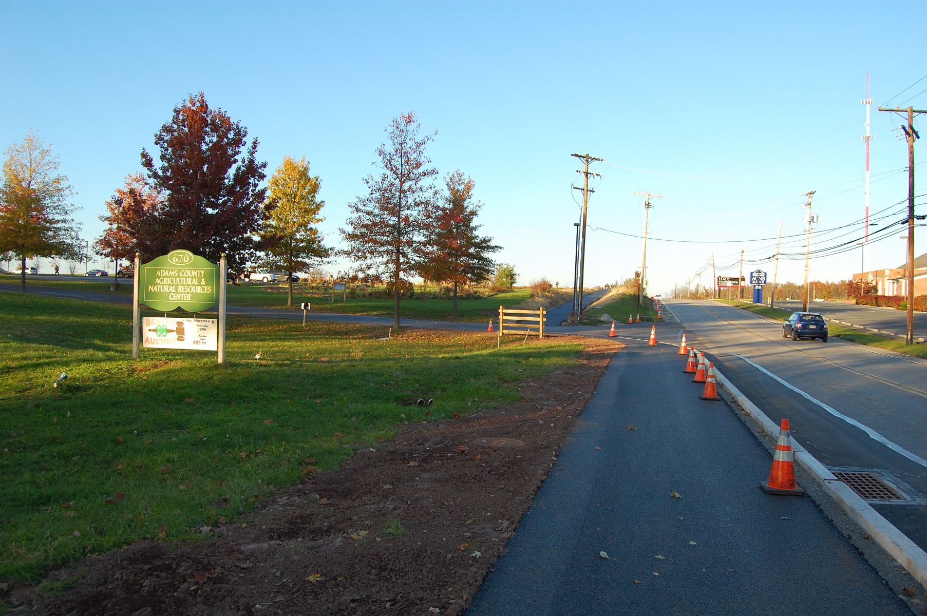
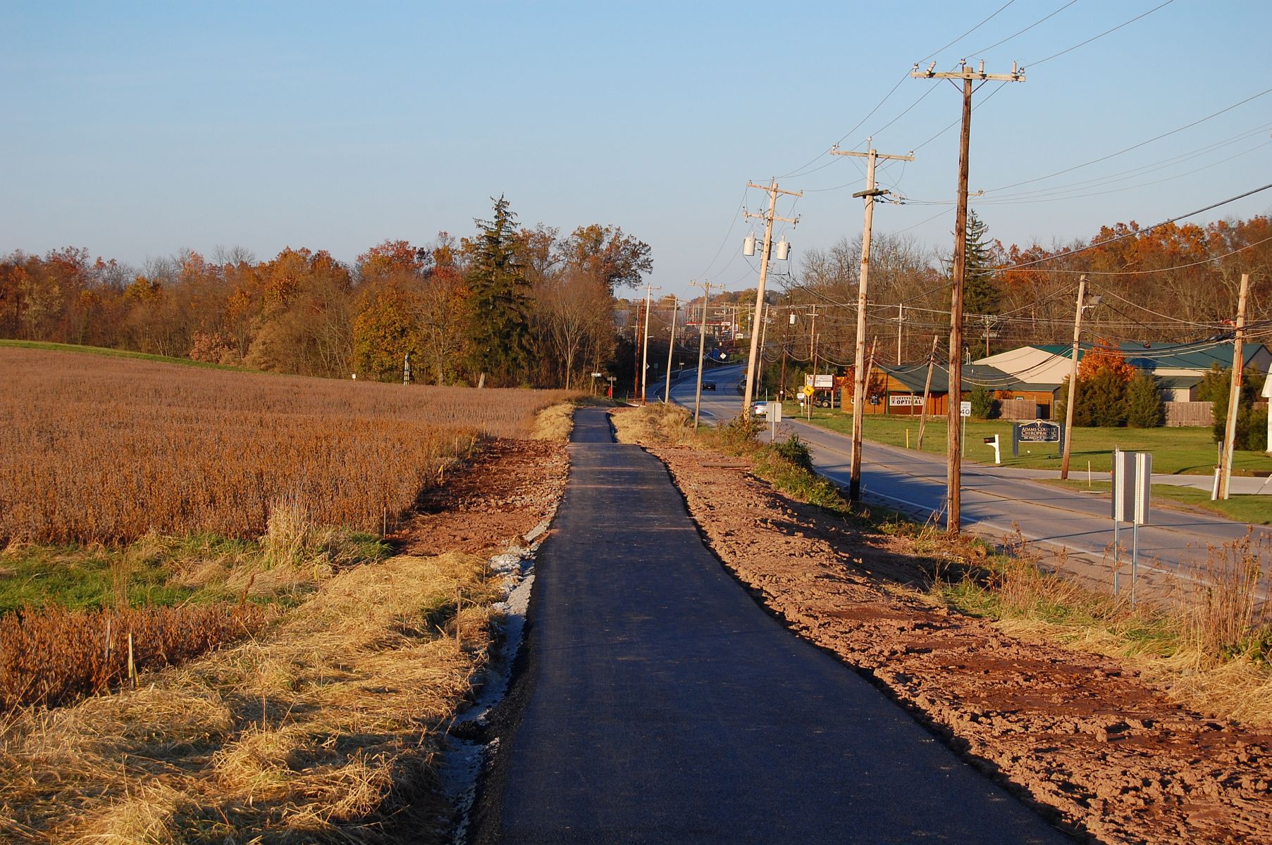
Coming up on our left is the Adams County Agricultural and Natural Resources Center. This view was taken facing northeast at approximately 5:20 PM on Sunday, November 6, 2011.
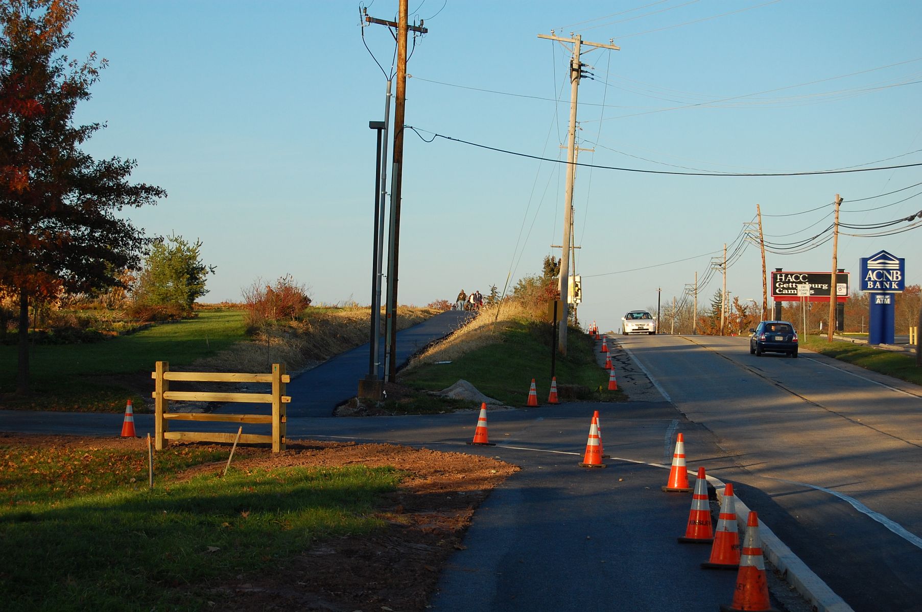
This view was taken facing northeast at approximately 5:20 PM on Sunday, November 6, 2011.


This view was taken facing northeast at approximately 5:20 PM on Sunday, November 6, 2011.
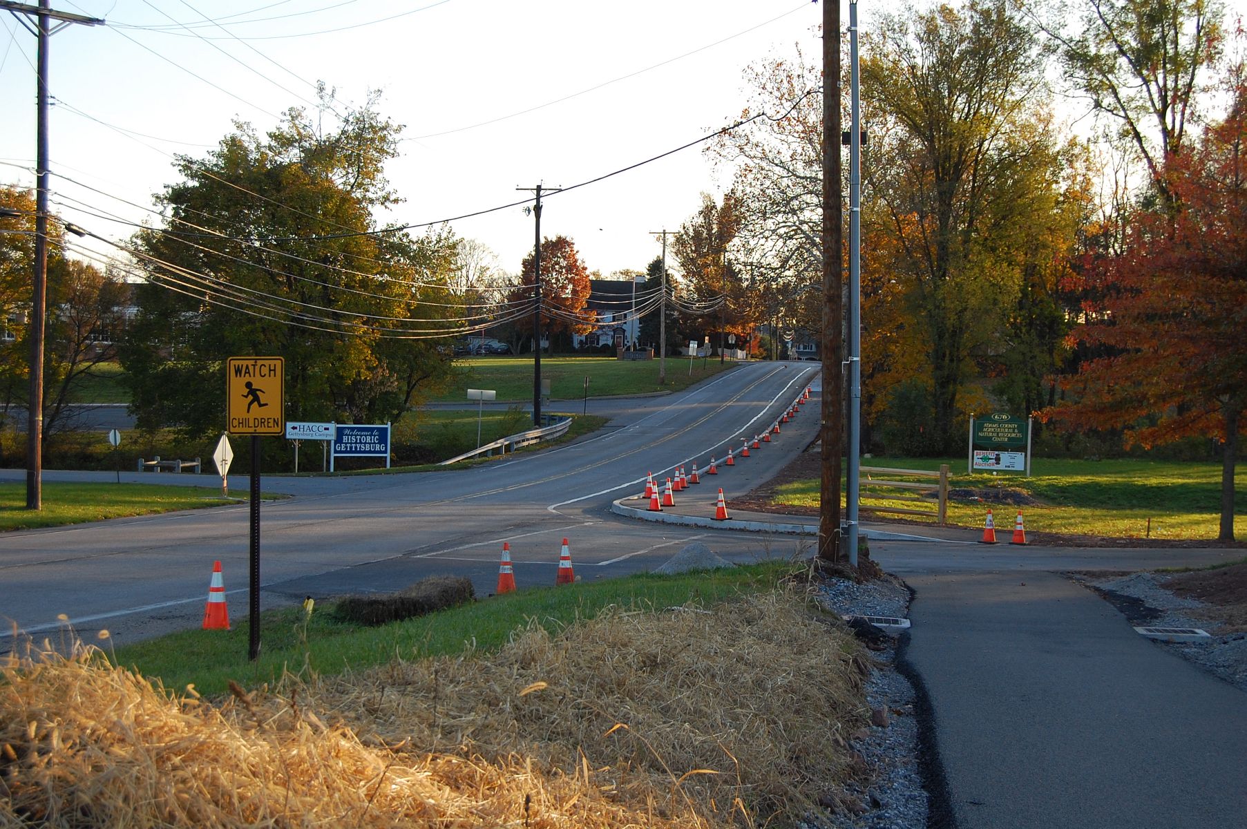
Looking back towards town as the trail begins a short incline. This view was taken facing south at approximately 5:20 PM on Sunday, November 6, 2011.
The Eternal Light Peace Memorial is visible in the center of this photograph. This view was taken facing west at approximately 5:20 PM on Sunday, November 6, 2011.

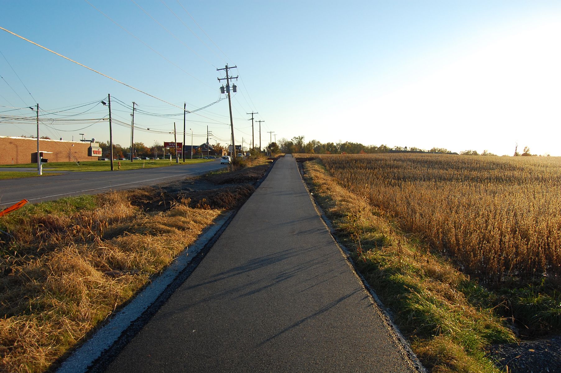
This view was taken facing northeast at approximately 5:20 PM on Sunday, November 6, 2011.
Here’s a closer look at the height profile of the trail … This view was taken facing east at approximately 5:20 PM on Sunday, November 6, 2011.
… which you can see better in this shot. This view was taken facing south at approximately 5:20 PM on Sunday, November 6, 2011.

On the left of this photograph is the Oak Ridge Observation Tower, and again visible on the right is the Peace Light on Oak Hill. This view was taken facing northeast at approximately 5:20 PM on Sunday, November 6, 2011.
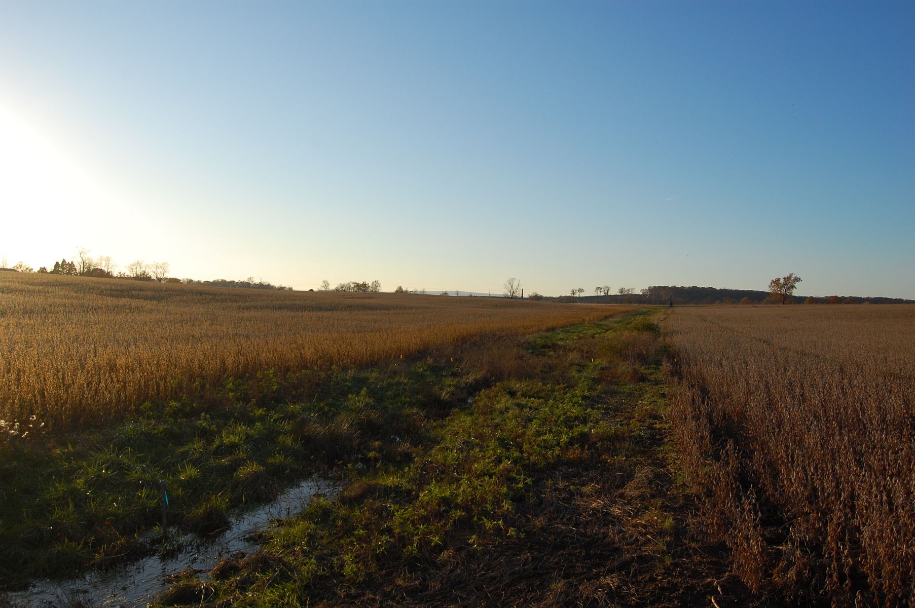
This view was taken facing northeast at approximately 5:20 PM on Sunday, November 6, 2011.
This view was taken facing southwest at approximately 5:20 PM on Sunday, November 6, 2011.
Oak Hill is the rising ground in the center-right of this photo. This view was taken facing northeast at approximately 5:20 PM on Sunday, November 6, 2011.

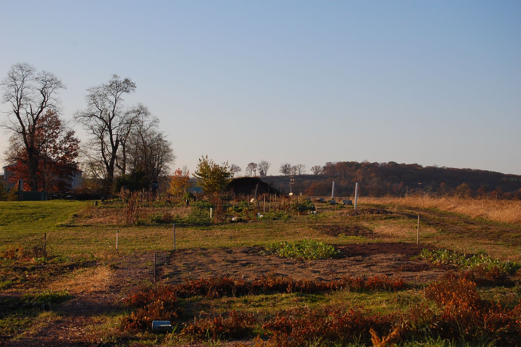
This view was taken facing west at approximately 5:20 PM on Sunday, November 6, 2011.
We’ll show you the rest of the trail from north of Howard Avenue later this week. This view was taken facing northeast at approximately 5:20 PM on Sunday, November 6, 2011.