
The start of the North Gettysburg Trail is staked out in the background on the west side of the Old Harrisburg Road/Pike. This view was taken facing northwest at approximately 6:15 PM on Thursday, May 12, 2011.
Over 15 years in the making, construction is finally set to start on the North Gettysburg Trail. The walking/biking trail will connect the Borough of Gettysburg to Gettysburg Area High School, north of town. We’ll take a look at the ground the trail will cover in today’s post.
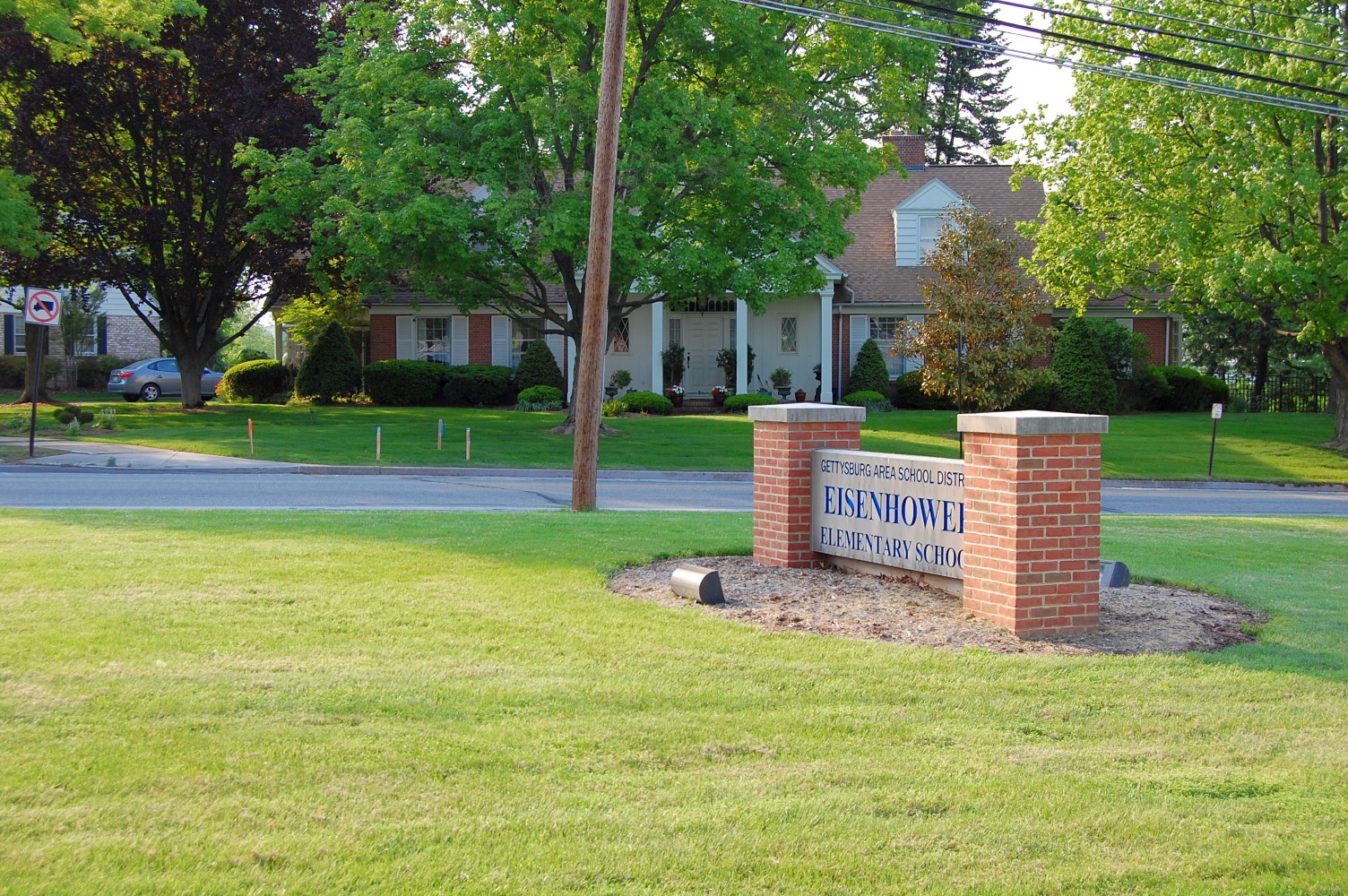
The trail begins at the intersection of East Broadway and the Old Harrisburg Road, across from the Eisenhower Elementary School (out of view to the rear of the photographer). This view was taken facing northwest at approximately 6:15 PM on Thursday, May 12, 2011.
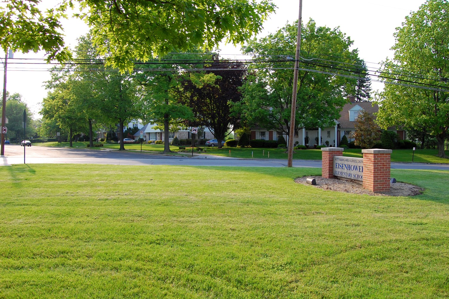
In 1995, the Adams County Office of Planning and Development began to evaluate pedestrian accessways to the soon-to-be-constructed Gettysburg Area High School building north of town. They cited a need for “safe pedestrian and bicycle connections” between the Borough and the site of the new high school. The trail will run on the west (left) side of the road here, passing by the new town signage. This view was taken facing northeast at approximately 6:15 PM on Thursday, May 12, 2011.

At the moment, most of the pedestrian traffic in this area occurs on the east (left in this view) side of the road. This view was facing southwest at approximately 6:15 PM on Thursday, May 12, 2011.
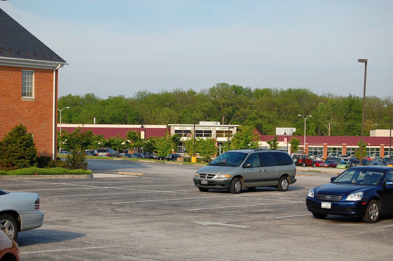
Long after the initial feasibility study, a major flood caused many of the businesses in the North Gettysburg Shopping center to move. The land in this area lies in a flood plain with Rock Creek. Harrisburg Area Community College moved into and redeveloped the property, meaning that the highest amount of pedestrian traffic along the Old Harrisburg Road occurs on the east side, as students make the walk from HACC into town … This view was taken facing northeast at approximately 6:15 PM on Thursday, May 12, 2011.


… Or as Gettysburg College students and residents walk to Weis Markets. Of course, in the years since the trail was proposed, there is also the new Freedom Transit line, whose struggling rider numbers see most of their use with Gettysburg College and HACC students accessing this area. This view was taken facing northeast at approximately 6:15 PM on Thursday, May 12, 2011.
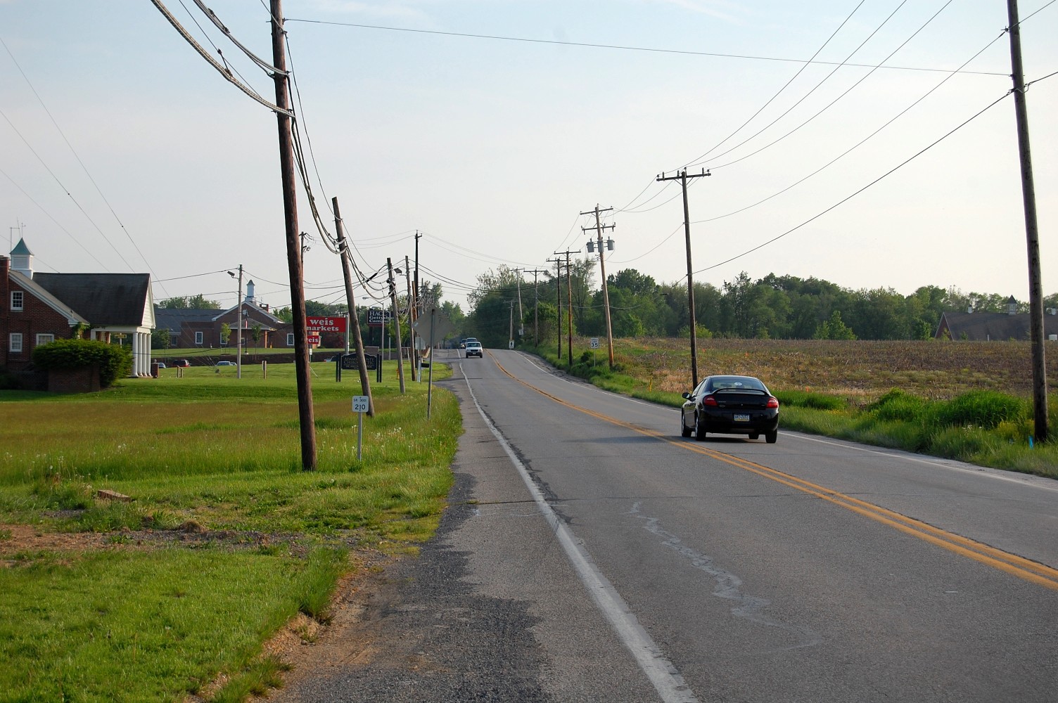
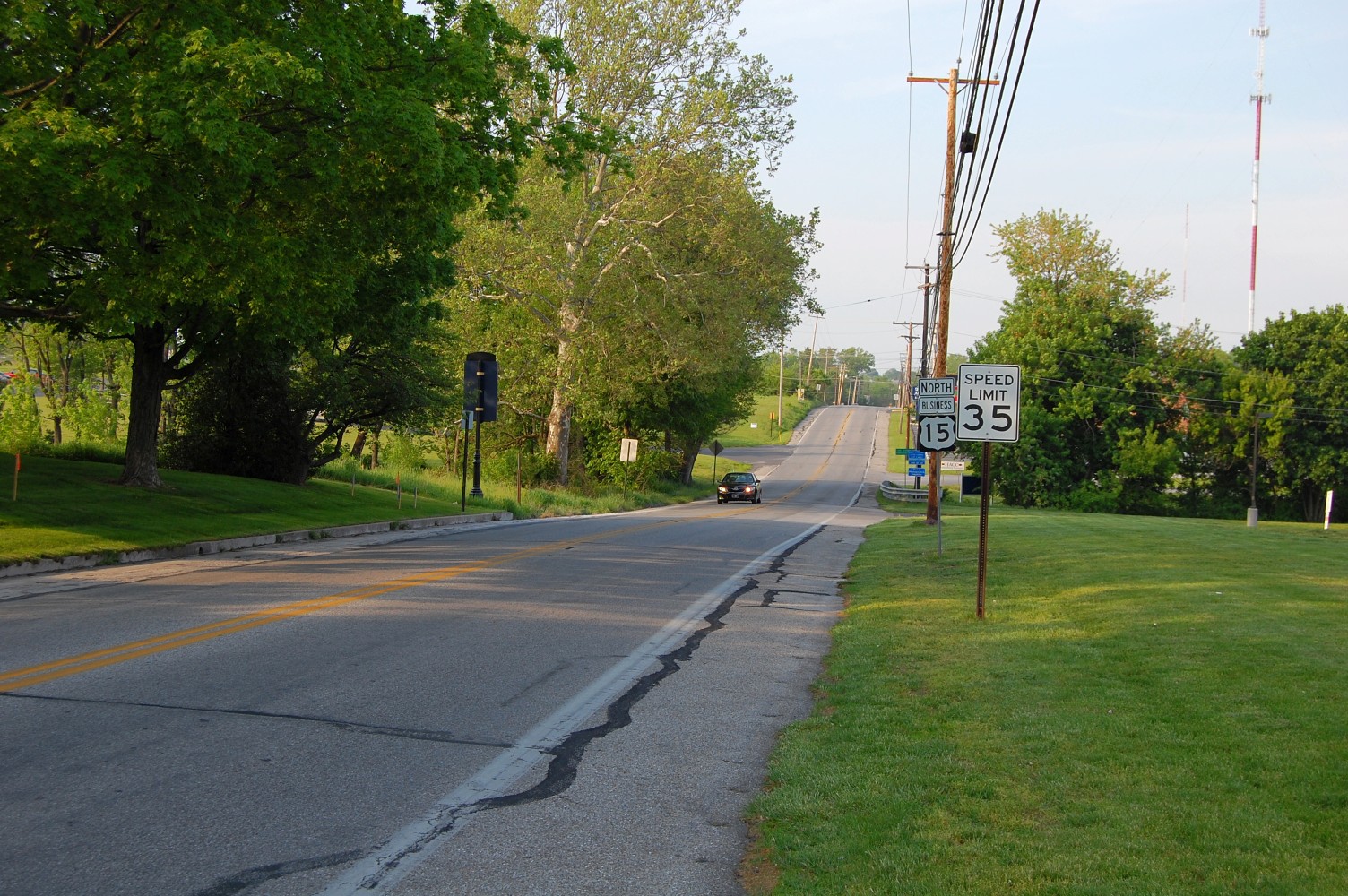
When the “North Gettysburg Trail System Feasibility Study” was finalized in 2000, it proposed a network of on and off-road trails and bike paths north of town, with this one section of the trail taking the greatest priority. 11 years later, this is the only portion of that proposed bicycle/walkway system under construction. This view was taken facing southwest at approximately 6:15 PM on Thursday, May 12, 2011.

Barlow’s Knoll is to the right/west of this photo, and Howard Avenue is in the foreground where it meets Old Harrisburg Road. The trail is marked by the wooden stakes coming towards the camera. This view was taken facing southwest at approximately 6:15 PM on Thursday, May 12, 2011.
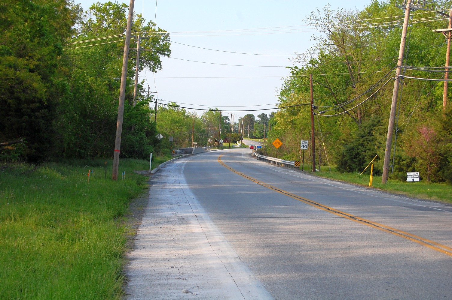
When it was originally proposed in better economic times, the trail comprised one small part of the county’s larger “greenways” effort, to bring conservation to wildlife (including that around Rock Creek, which we are approaching in the background), and to provide a network of non-motorized transportation for residents. The bridge that goes over Rock Creek in the background was redone a few years ago, and in anticipation of the trail system, the west side of the bridge has a four foot wide walkway built into it.. This view was taken facing northeast at approximately 6:15 PM on Thursday, May 12, 2011.

Whenever Gettysburg government officials speak of the trail project in local news media it exists “to connect the Borough to the high school.” The contractor with the winning bid is the ever-present Kinsley Construction, whose approximately $700,000 bid won them the project. This view was taken facing southwest at approximately 6:15 PM on Thursday, May 12, 2011.
But of course, Gettysburg Area High School students have gotten by for the last decade without the trail. Unlike the Gettysburg Area Middle School (which is in town), walking to the high school is a greater distance for those in town, and busing, even for those who live on Broadway (the street where the trail begins) has always existed. Perhaps there are a few students who live in town who will now be able to walk to school, but like many government projects long in the making, one wonders about just how much use this trail will see almost two decades later, when the original concern of student safety was given as the reason for the trail’s existence. There are other players involved … This view was taken facing northeast at approximately 6:15 PM on Thursday, May 12, 2011.

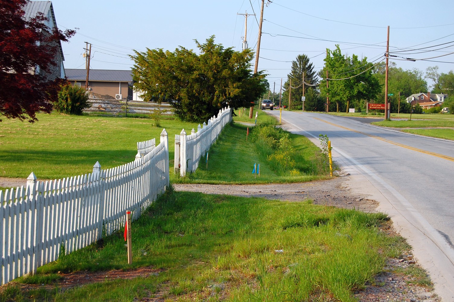
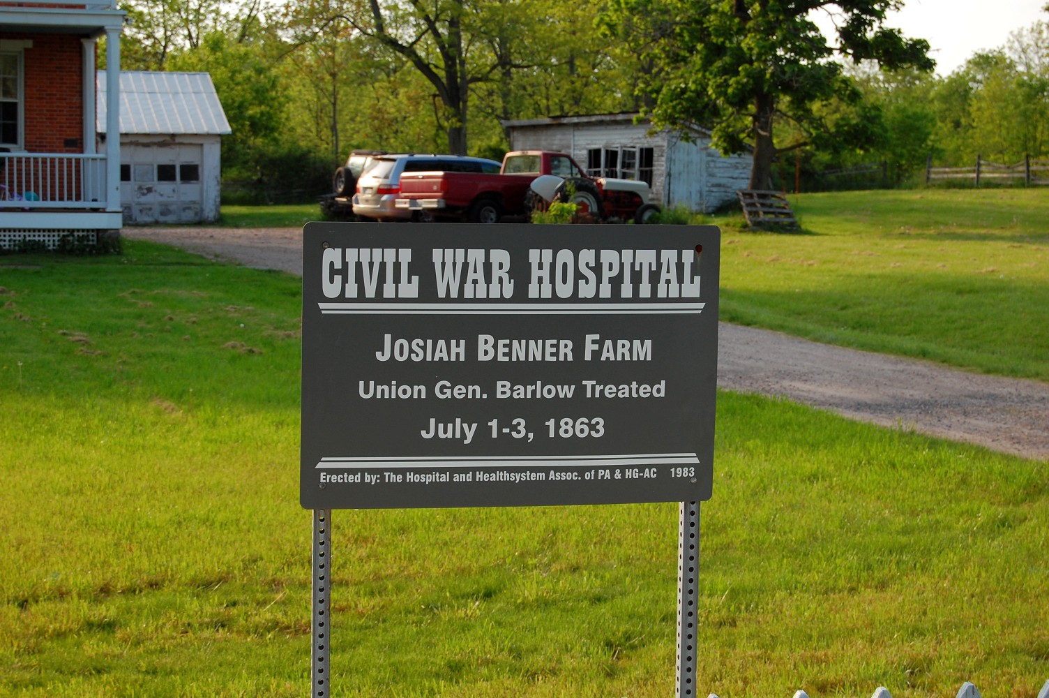
… The white picket fence here (the trail will run in the foreground) belongs to the currently private residence of what was once the Josiah Benner Farm. This view was taken facing west at approximately 6:15 PM on Thursday, May 12, 2011.
It is suspected that this property will come under National Park Service control within the next few years, and having a pedestrian access-way to portions of the first day’s battlefield (Howard Avenue especially) other than the Mummasburg Road could certainly be useful. This view was taken facing west at approximately 6:15 PM on Thursday, May 12, 2011.

The trail’s destination is the Gettysburg Area High School, pictured here. Two parking spots for persons with disabilities (ADA spaces) will be constructed by the borough on the high school’s property as compliance with federal/state guidelines. We hope that this trail will see frequent usage, and that its construction is actually still relevant to those it was originally intended to service. This view was taken facing northwest at approximately 6:15 PM on Thursday, May 12, 2011.
