

This new sign sits on York Street, just before one enters the town square. Visible behind this new sign is the older darker brown sign directing visitors to the National Park Visitor Center. This view was taken facing west at approximately 2:30 PM on Wednesday, March 30, 2011.
Six years ago, a project began to consolidate and develop consistent roadway and pedestrian waysigns in Gettysburg. The project, which various estimates place at $200,000 has finally seen approximately 70 new signs put up within the Gettysburg borough. The project received input on the content and display of the signage from the Gettysburg Borough Council, the National Park Service, the Pennsylvania Department of Transportation, and the originators of the project, Main Street Gettysburg. We took a walk yesterday afternoon before the weather worsened and took some pictures.
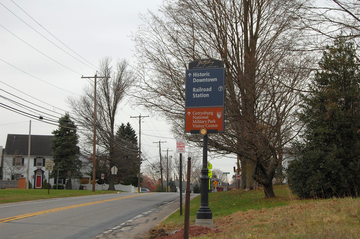
Like the first picture in today’s post, this larger type of sign seems to be clearly directed towards drivers. Located along the Old Harrisburg Road (Business 15), these signs have large print and include the familiar brown sign for the National Park Service Visitor Center. This view was taken facing southwest at approximately 2:30 PM on Wednesday, March 30, 2011.

The signs are very well-designed from a graphical standpoint and look quite good. This view was taken facing southwest at approximately 2:30 PM on Wednesday, March 30, 2011.

Note the Gettysburg seal at the bottom, which includes the town’s founding year, 1786. This view was taken facing southwest at approximately 2:30 PM on Wednesday, March 30, 2011.

We’ve followed Old Harrisburg Road into town, where it turns into East Lincoln Street. The older brown signs for the Visitor Center have not been removed. This view was facing southwest at approximately 2:30 PM on Wednesday, March 30, 2011.
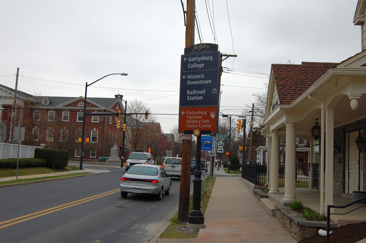
We’ll take a left toward “Historic Downtown” from Lincoln Street and turn onto Carlisle Street. As the sign indicates, Gettysburg College is in the background. The monument to the 1st Ohio Light Artillery (Battery K) is visible at in the left-hand portion of this image. This view was facing west at approximately 2:30 PM on Wednesday, March 30, 2011.

The larger signs seem to serve their purpose well and provide needed direction towards downtown Gettysburg and the NPS Visitor Center from the many roads visitors use to enter Gettysburg. But the greatest number of signs installed are these smaller ones, located within a one to two block radius of the town square. This view was taken facing southwest at approximately 2:30 PM on Wednesday, March 30, 2011.

Having trouble reading these signs without clicking on the image to enlarge it? This view was taken facing southwest at approximately 2:30 PM on Wednesday, March 30, 2011.

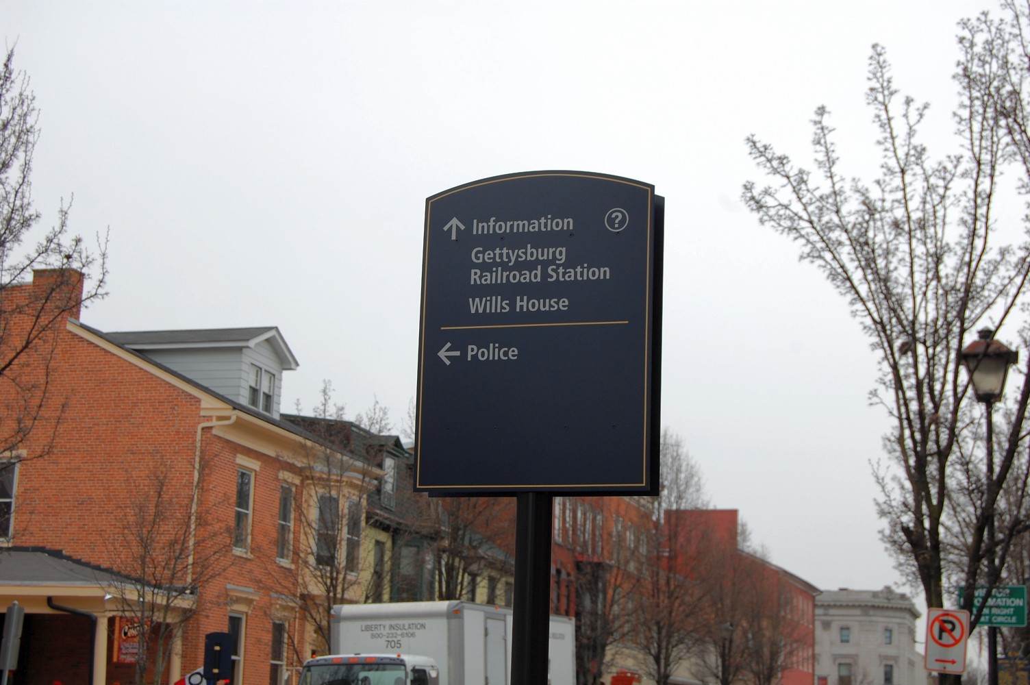
So were we, so we’ll get a bit closer. You will notice right away that there is a lot of space available on these signs and that the print is a bit small. Perhaps these signs are geared more towards pedestrians than drivers. Let’s take a look at a few more examples… This view was taken facing south at approximately 2:30 PM on Wednesday, March 30, 2011.

Here’s another sign on York Street, across from the David Wills house. It directs visitors to the Gettysburg Railroad Station, Gettysburg College, the Adams County Courthouse, and the Adams County Public Library. This view was taken facing southwest at approximately 2:30 PM on Wednesday, March 30, 2011.
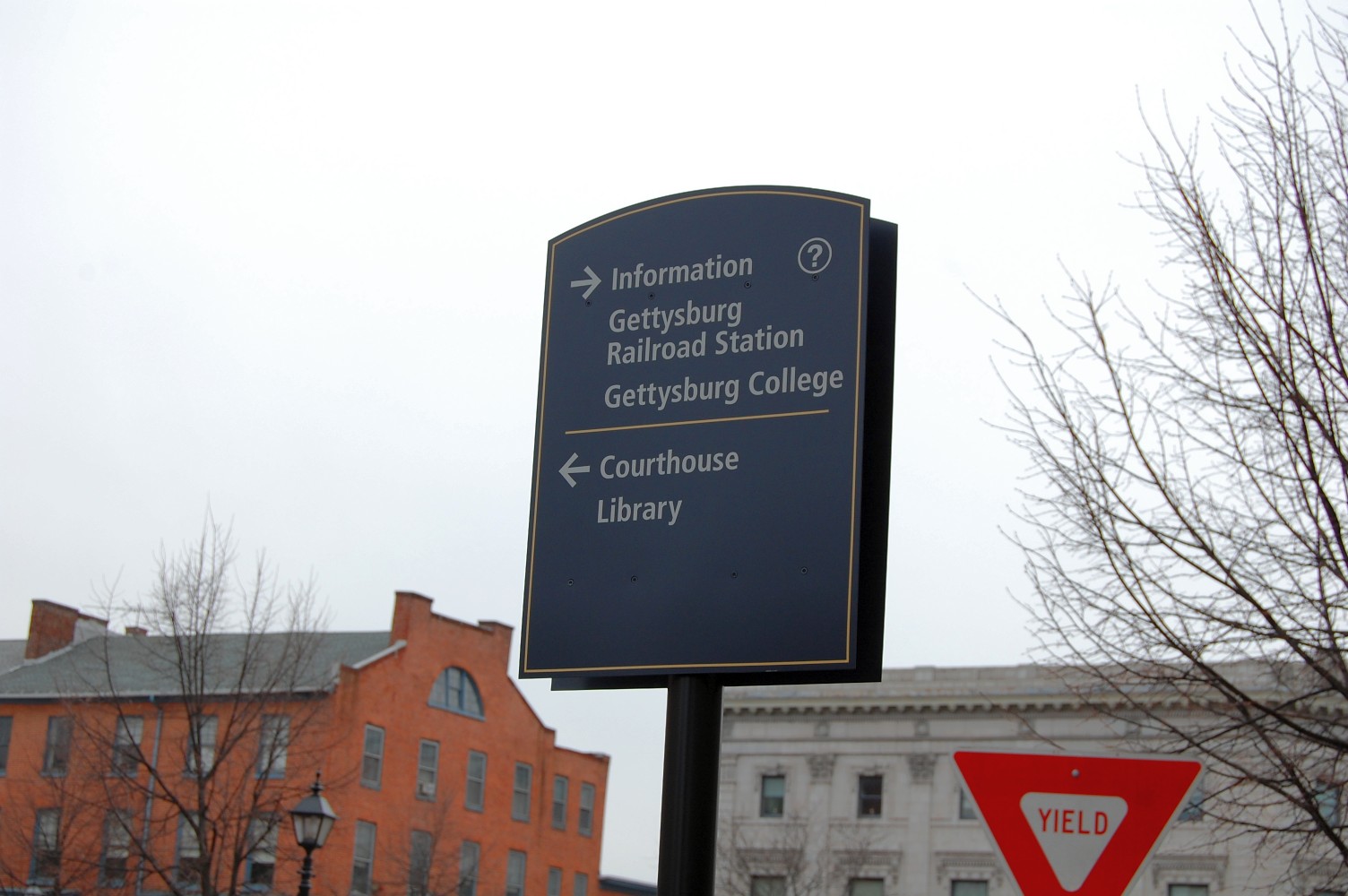
This view was taken facing southwest at approximately 2:30 PM on Wednesday, March 30, 2011.

We wonder what other destinations will be added to these signs in the future, if any. Right now many of them are looking quite bare. This sign is located on Baltimore Street, just south of the town square. This view was taken facing south at approximately 2:30 PM on Wednesday, March 30, 2011.
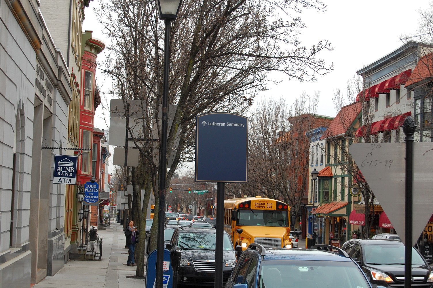
This one on Chambersburg Street points to the Lutheran Theological Seminary. This view was taken facing west at approximately 2:30 PM on Wednesday, March 30, 2011.
Between the four separate organizations who had input on these signs, one wonders just how helpful some of these smaller ones will be. This view was taken facing southwest at approximately 2:30 PM on Wednesday, March 30, 2011.
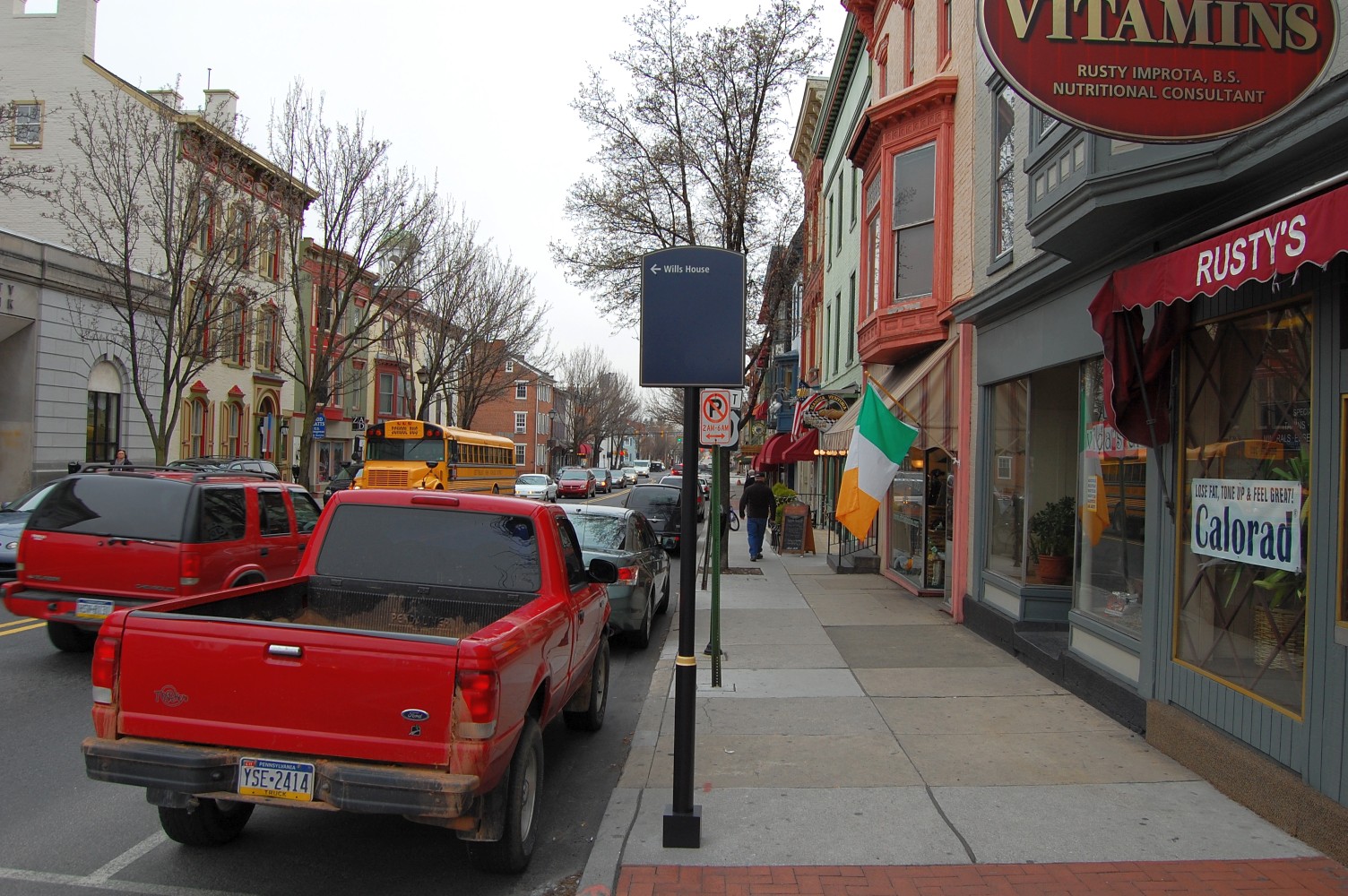
We are standing on Chambersburg Street, looking west, with the town square behind us. In front of us, on the right side of the street, is a sign that says the David Wills house is to our left. If these are indeed signs for pedestrians (and frankly, even if they are signs for drivers), this could be potentially misleading. This view was taken facing west at approximately 2:30 PM on Wednesday, March 30, 2011.

Because as many of our readers know, the Wills House is not to the left … This view was taken facing southwest at approximately 2:30 PM on Wednesday, March 30, 2011.
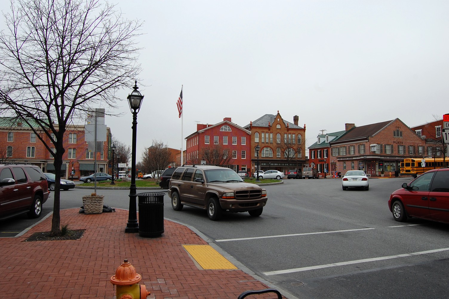
… It is behind us, across the square. This view was taken facing southeast at approximately 2:30 PM on Wednesday, March 30, 2011.
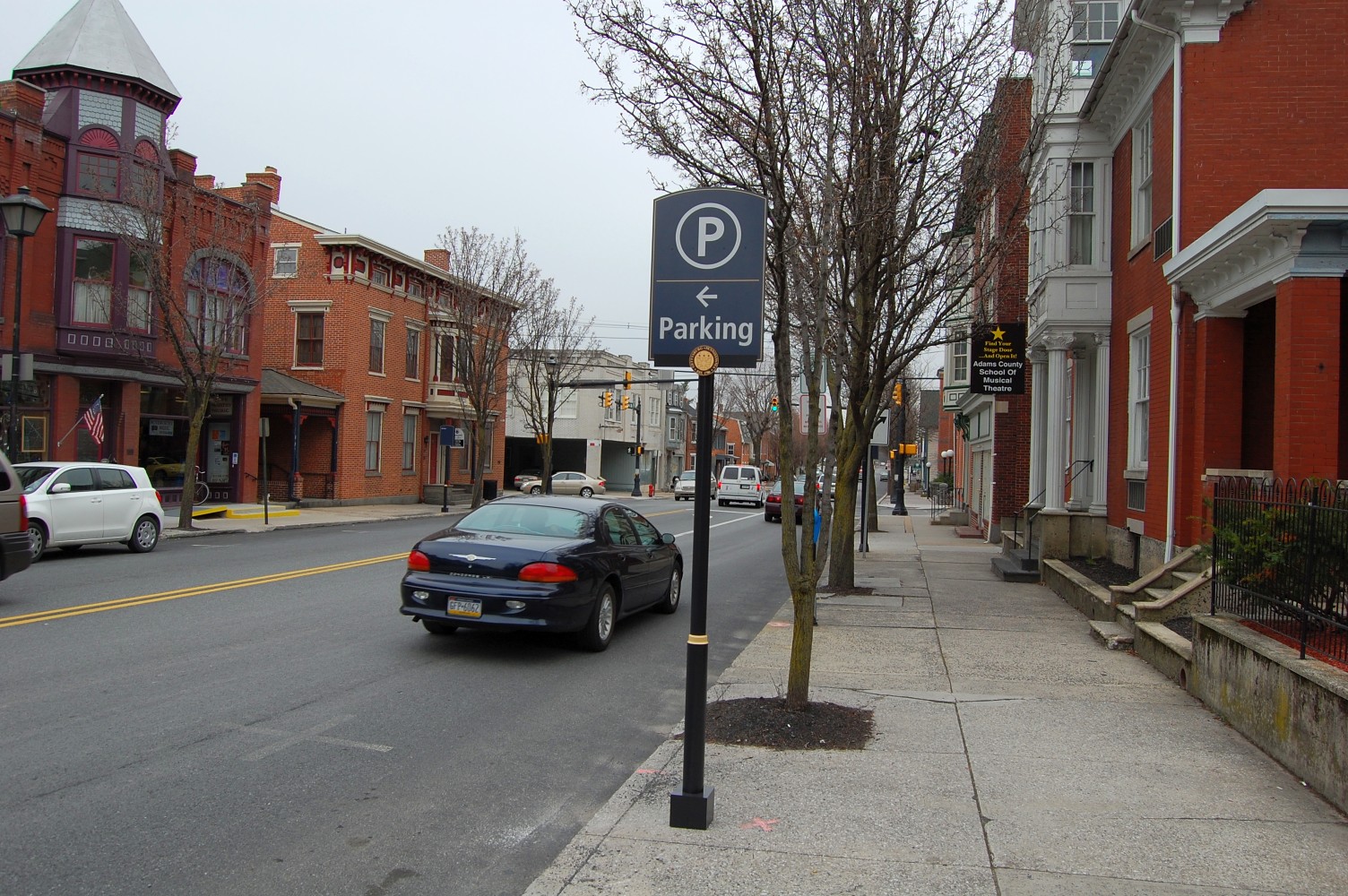
The signs that we’re sure many visitors and residents alike can agree on, are the numerous signs now directing visitors to the Racehorse Alley parking garage. This view was taken facing northeast at approximately 2:30 PM on Wednesday, March 30, 2011.

And yes, they look just as nice as their counterparts. This view was taken facing east at approximately 2:30 PM on Wednesday, March 30, 2011.
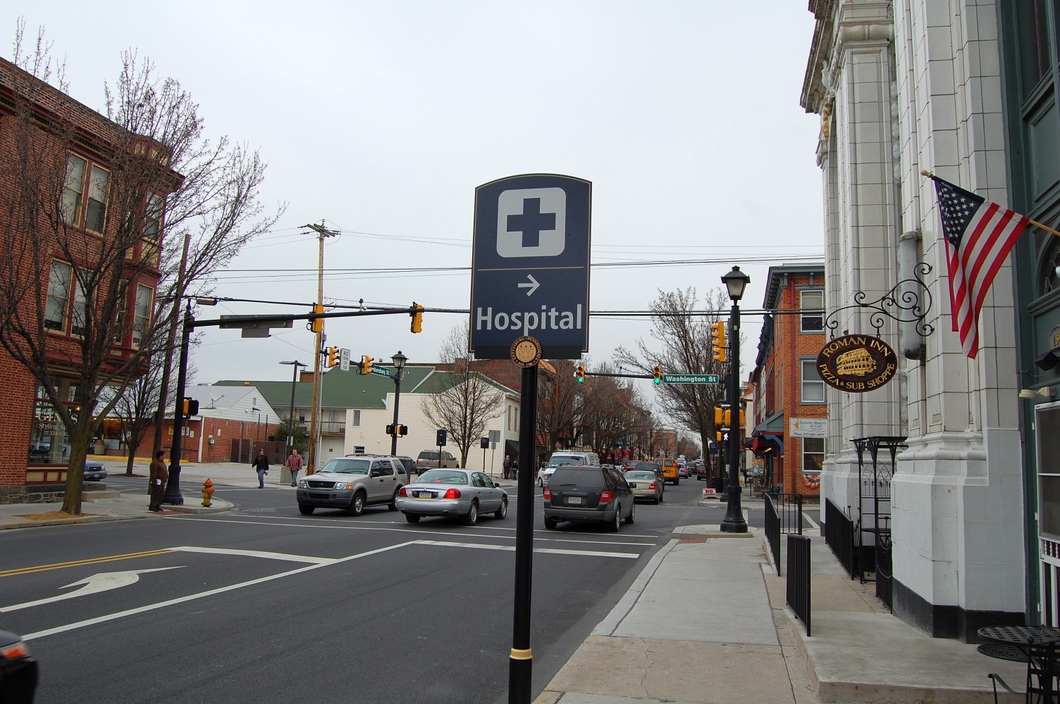
Signs have also been erected for the Gettysburg Hospital. This one is located on Chambersburg Street, just before its intersection with Washington Street. This view was taken facing east at approximately 2:30 PM on Wednesday, March 30, 2011.

This view was taken facing east at approximately 2:30 PM on Wednesday, March 30, 2011.