North Gettysburg Trail Update: Fence Posts and Signage
November 22, 2011
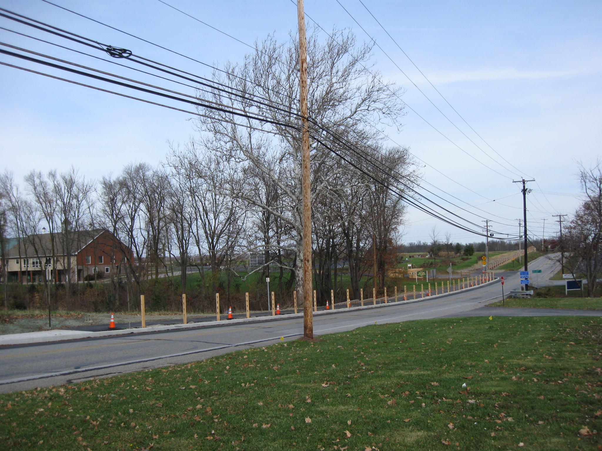
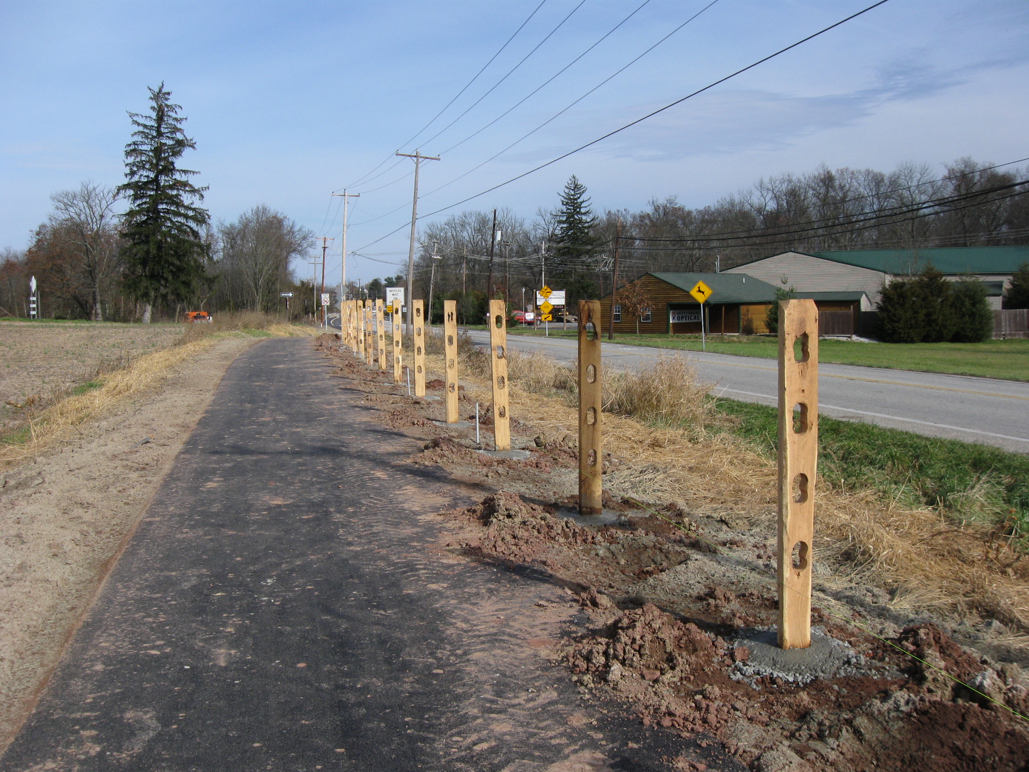
A post and rail fence is being constructed on the Adams County Property of the North Gettysburg Trail. The Adams County Agricultural and Natural Resources Center is in the left background. The Old Harrisburg Road (Business Route 15) is the road on this (east) side of the trail. This view was taken facing north at approximately 12:30 PM on Sunday, November 20, 2011.
In today’s progress of the North Gettysburg Trail, a post and rail fence is being constructed. Signs have also been erected ordering bicyclists to not share the trail/sidewalk with pedestrians north of Howard Avenue. Needless to say, we have a few observations.
See our previous related posts:
North Gettysburg Trail: November Walk Pt. 2 on November 11, 2011
North Gettysburg Trail: November Walk Pt. 1 on November 9, 2011
Unfinished Work North of Gettysburg on October 21, 2011
North Gettysburg Trail Project Delayed on September 23, 2011
Construction Update: September 1st on September 1, 2011
North Gettysburg Trail to Complete in September on July 28, 2011
North Gettysburg trail “Deep and Wide” on Adams County Property on June 30, 2011
North Gettysburg Trail Finally Set to Begin Construction on May 13, 2011
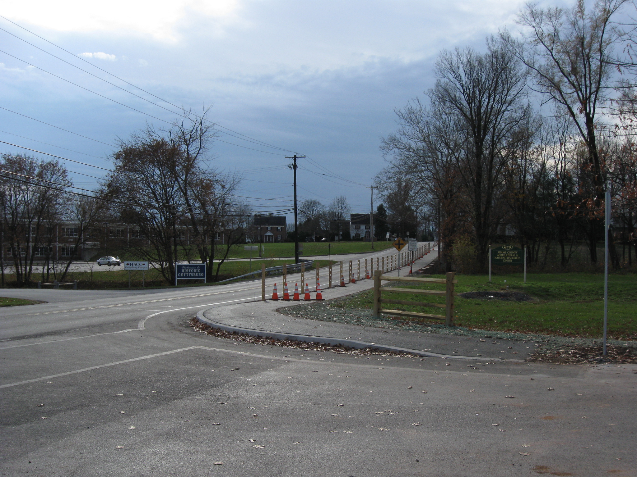
We are at the intersection of the Old Harrisburg Road (foreground) and Broadway, which is out of sight to the right of the street sign. The fence has not been constructed in front of the large, white Crawford House. This view was taken facing southwest at approximately 12:30 PM on Sunday, November 20, 2011.
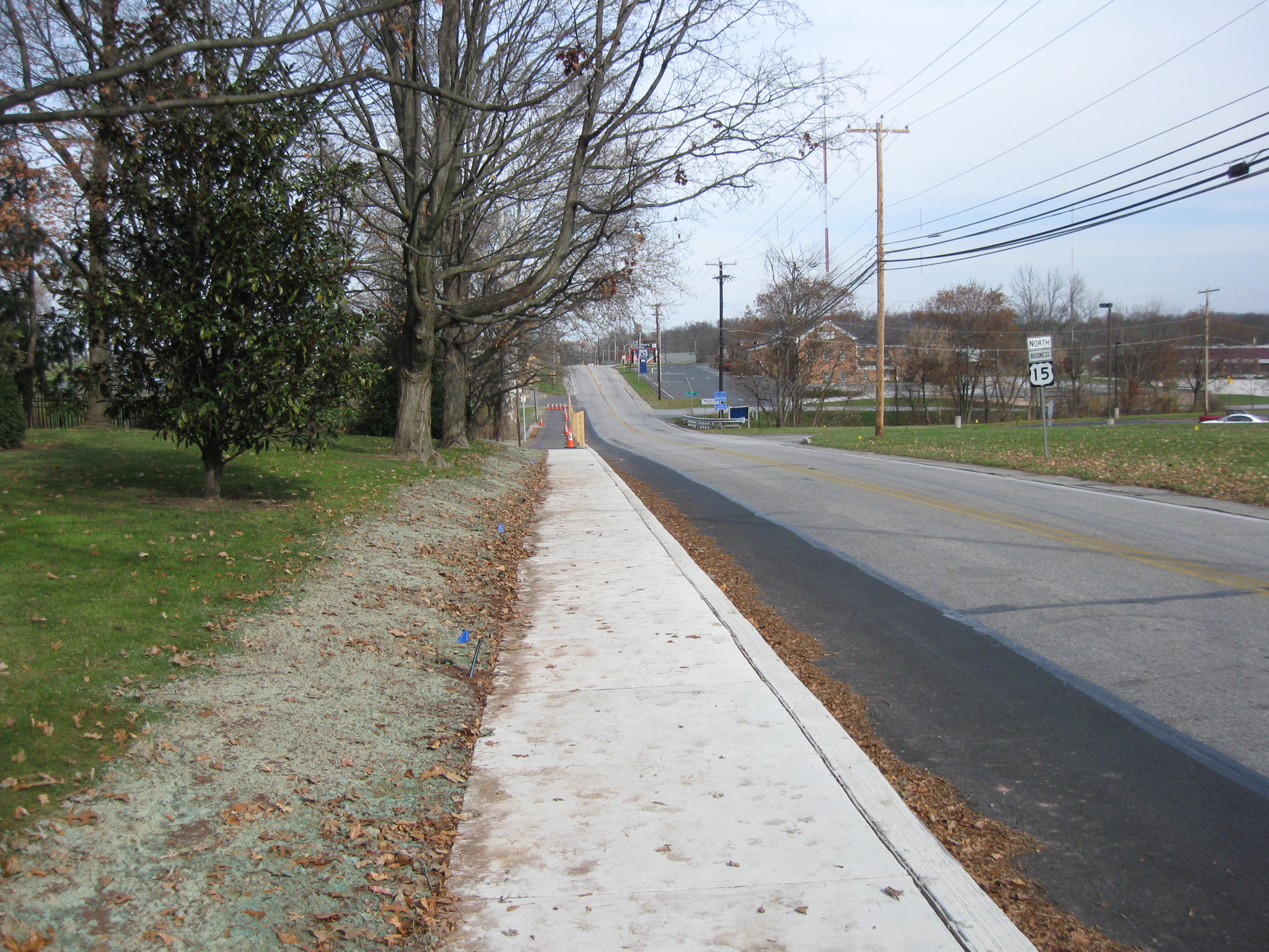
There is no fence near the concrete sidewalk at the intersection of the Old Harrisburg Road (to the right of the sidewalk) and Broadway (behind the camera position). This view was taken facing east facing northeast at approximately 12:30 PM on Sunday, November 20, 2011.
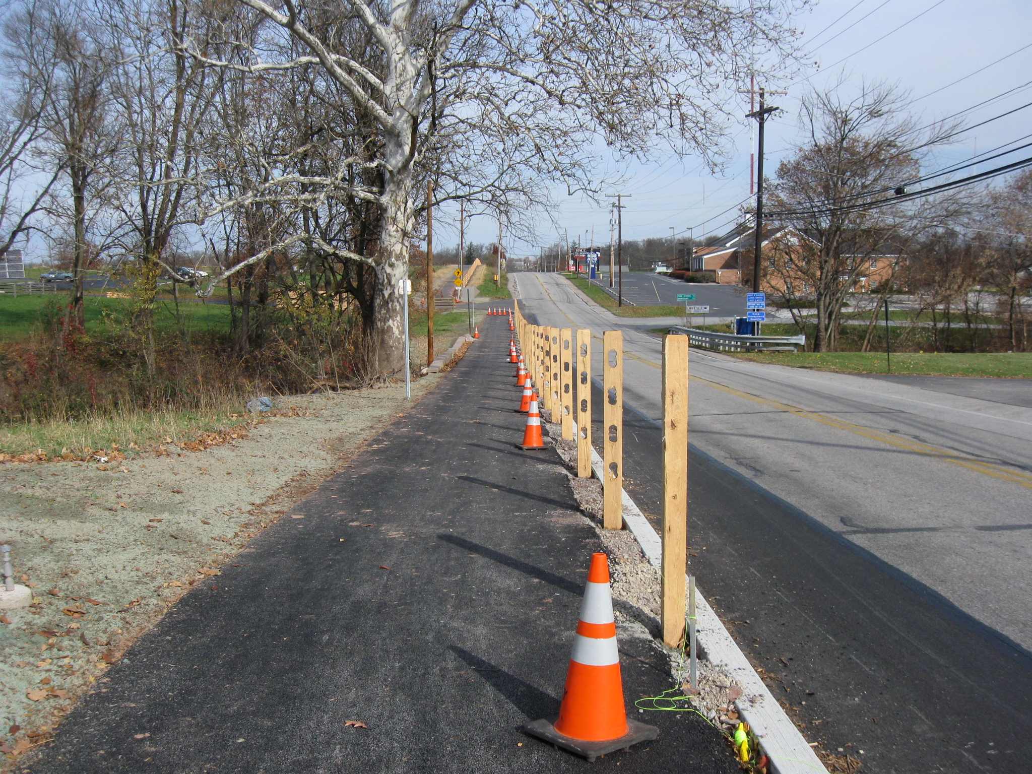
The fencing begins where the asphalt part of the sidewalk/trail begins near the bottom of the hill. This view was taken facing northeast at approximately 12:30 PM on Sunday, November 20, 2011.
We assume that the wooden fence is for aesthetic purposes only since it won’t be much of an obstacle to a large vehicle jumping the curb. It could help keep younger/unsafe riders away from this busy road, but in this area the bike path is on the road to the right of the fence, marked by the darker colored asphalt and has yet to be lined/marked. The walking path is on the sidewalk to the left of the fence. This view was taken facing northeast at approximately 12:30 PM on Sunday, November 20, 2011.
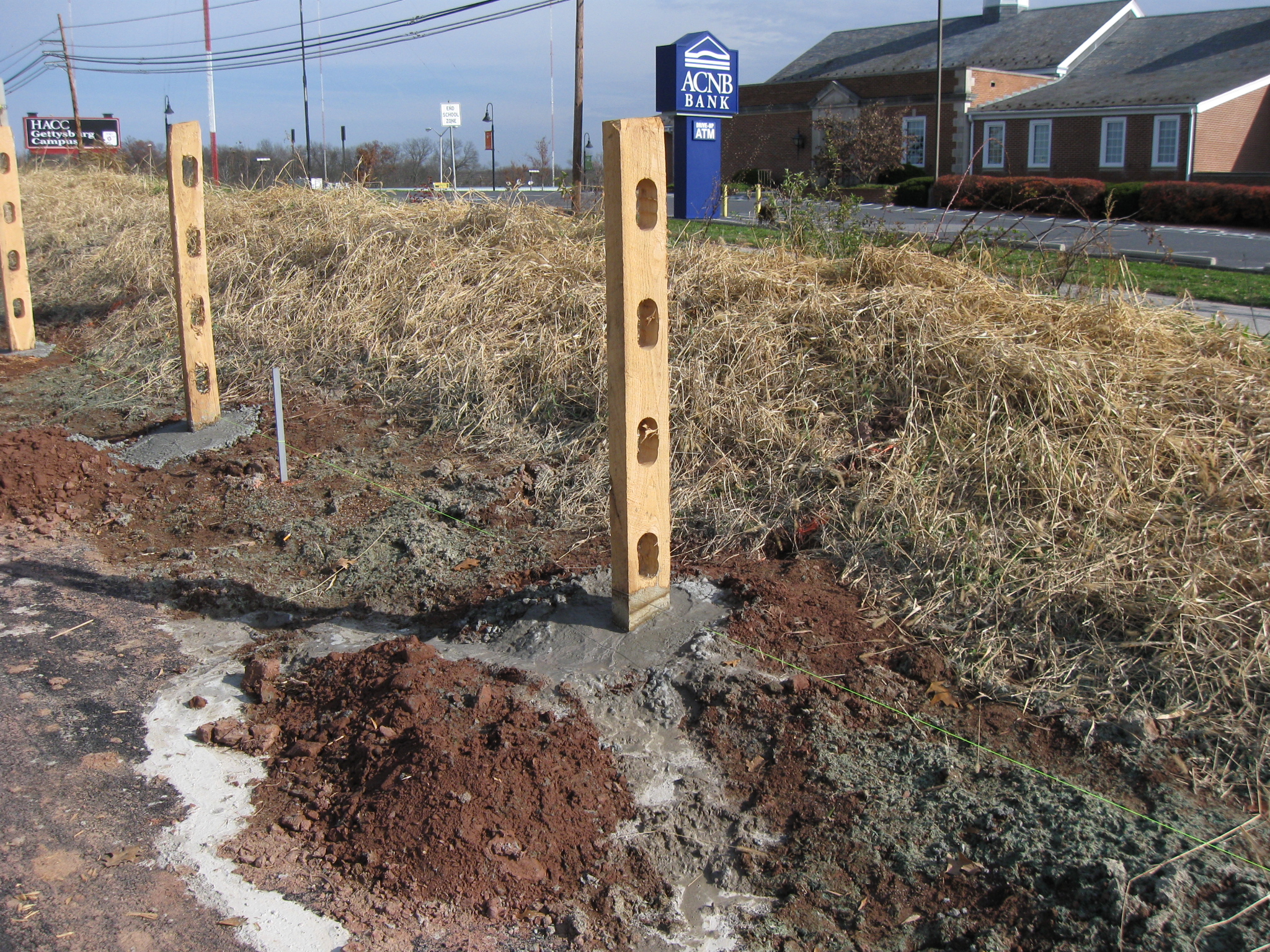
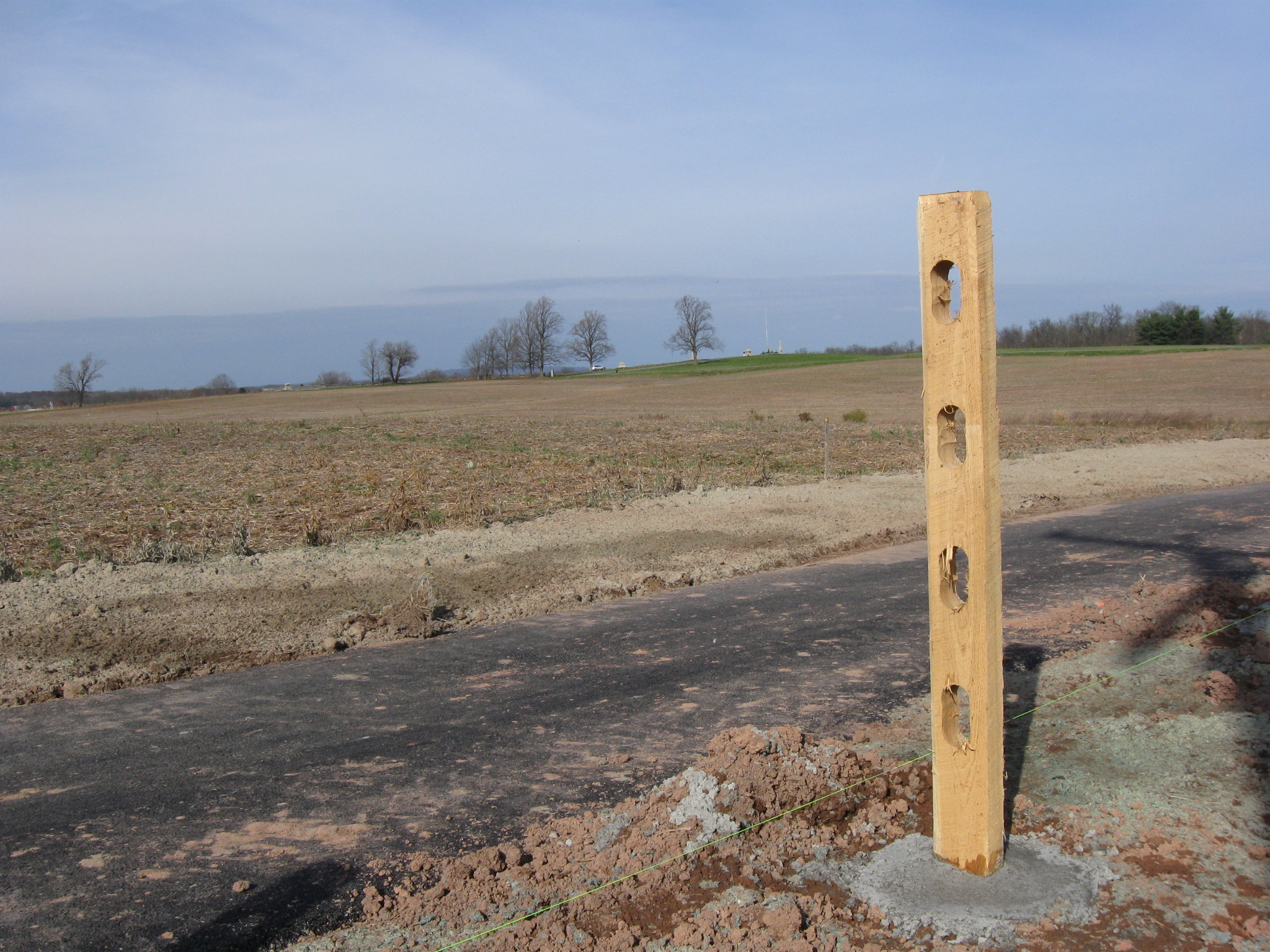
They are setting the posts into concrete. This view was taken facing northeast at approximately 12:30 PM on Sunday, November 20, 2011.
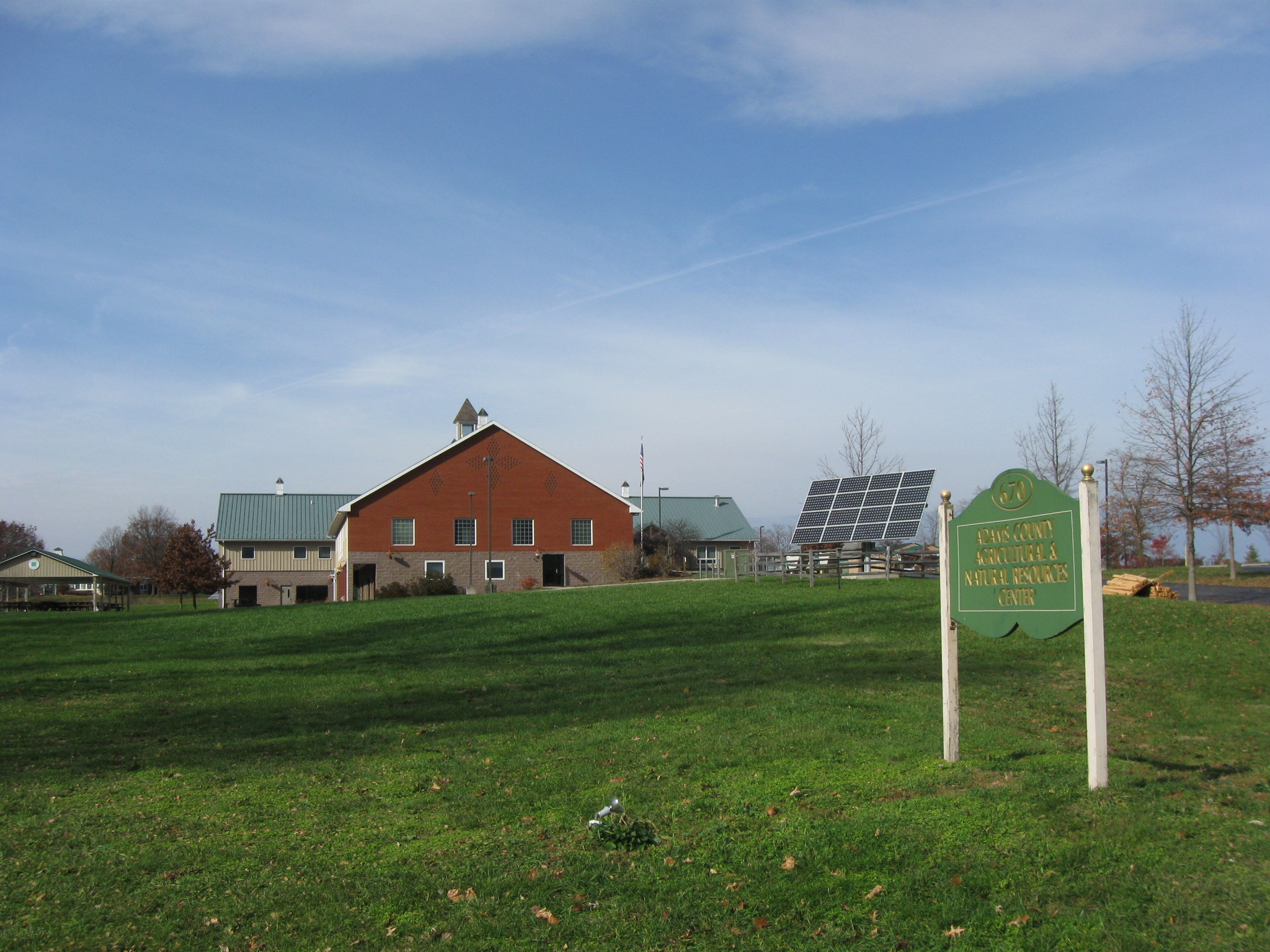
The Adams County Agricultural and Natural Resources Center occupies the grounds of the old Adams County Alms House. This view was taken facing northwest at approximately 12:30 PM on Sunday, November 20, 2011.
At the Agricultural Center are the fence rails waiting to be installed in the posts. This view was taken facing northwest at approximately 12:30 PM on Sunday, November 20, 2011.
We are looking back towards the Borough of Gettysburg. The Eisenhower Elementary School is the building in the left background. The houses in the center background are on East Broadway. The walkers using the trail are to cross the driveway leading to the Agricultural Center (left to right) here. Bicyclists are to stay on the left (east) side of the sidewalk. This view was taken facing southeast at approximately 12:30 PM on Sunday, November 20, 2011.
On the north side of the Agricultural Center’s driveway, pedestrians and bicyclists are directed to “Share the Trail.” We don’t know why they couldn’t share the trail on the south side of the driveway since the trail appears to be the same width in both locations. This view was taken facing northeast at approximately 12:30 PM on Sunday, November 20, 2011.
Even on dirt, these posts aren’t set into the earth like farmers did at an earlier time. They are set in concrete. So hopefully these posts have been treated with chemicals that will keep them durable a long time. If they begin to deteriorate, it will certainly be difficult to remove them. This view was taken facing northeast at approximately 12:30 PM on Sunday, November 20, 2011.
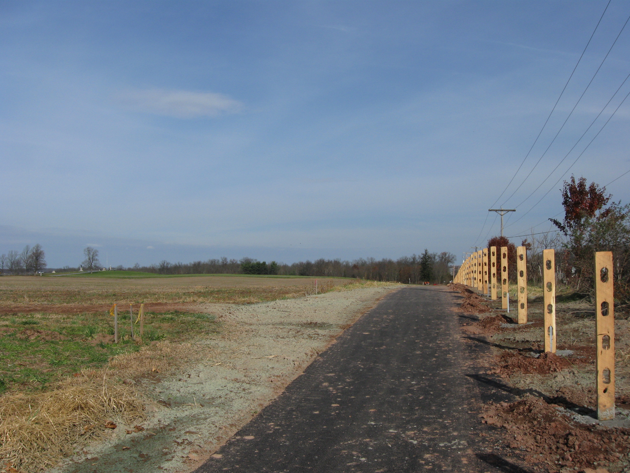
As we continue north along the pedestrian/bicycle trail, we wonder again why there are fences here. It can’t be for safety purposes as there is a “berm” on the right of the fences separating the trail from the Harrisburg Road. This view was taken facing northeast at approximately 12:30 PM on Sunday, November 20, 2011.
And in this area, the trail is approximately ten feet above the road. This view was taken facing northeast at approximately 12:30 PM on Sunday, November 20, 2011.
We are also going to be curious next summer to see who gets to clear the vegetation growing around this fence and how they will do it. Also who gets to mow between the (in places) steep slope between the fence and the Harrisburg Road. Or will they just let it become a jungle as the National Park Service allows some of its wooded property? This view was taken facing northeast at approximately 12:30 PM on Sunday, November 20, 2011.
Blocher’s Knoll/Barlow’s Knoll is in the background, just to the left of the post. This view was taken facing northwest at approximately 12:30 PM on Sunday, November 20, 2011.
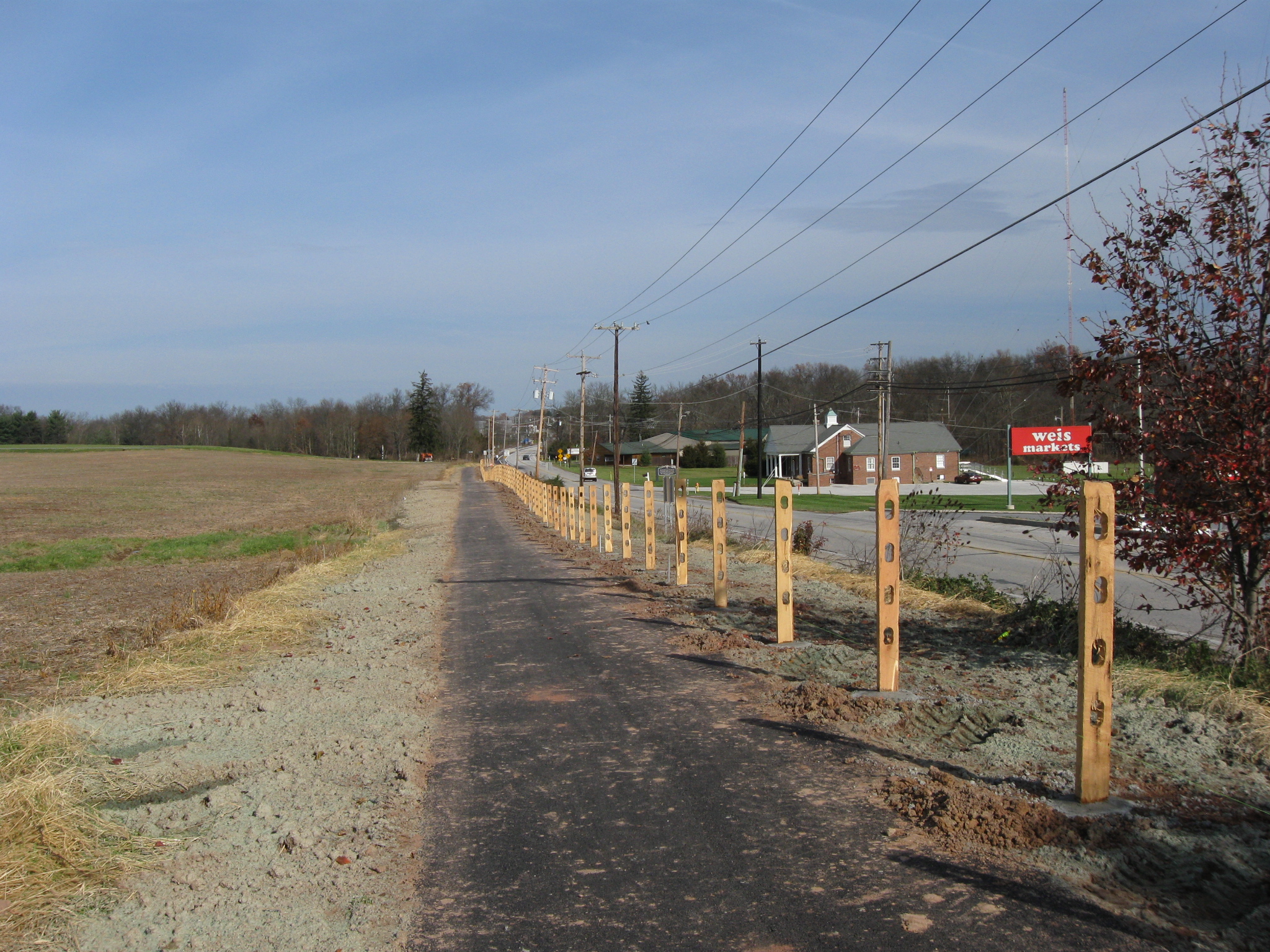
We are now approaching the junction of the Harrisburg Road on the right and Howard Avenue, in the area of the orange colored object in the left background. We are going to see lots of signs, giving instructions, mostly to bicyclists. This view was taken facing northeast at approximately 12:30 PM on Sunday, November 20, 2011.
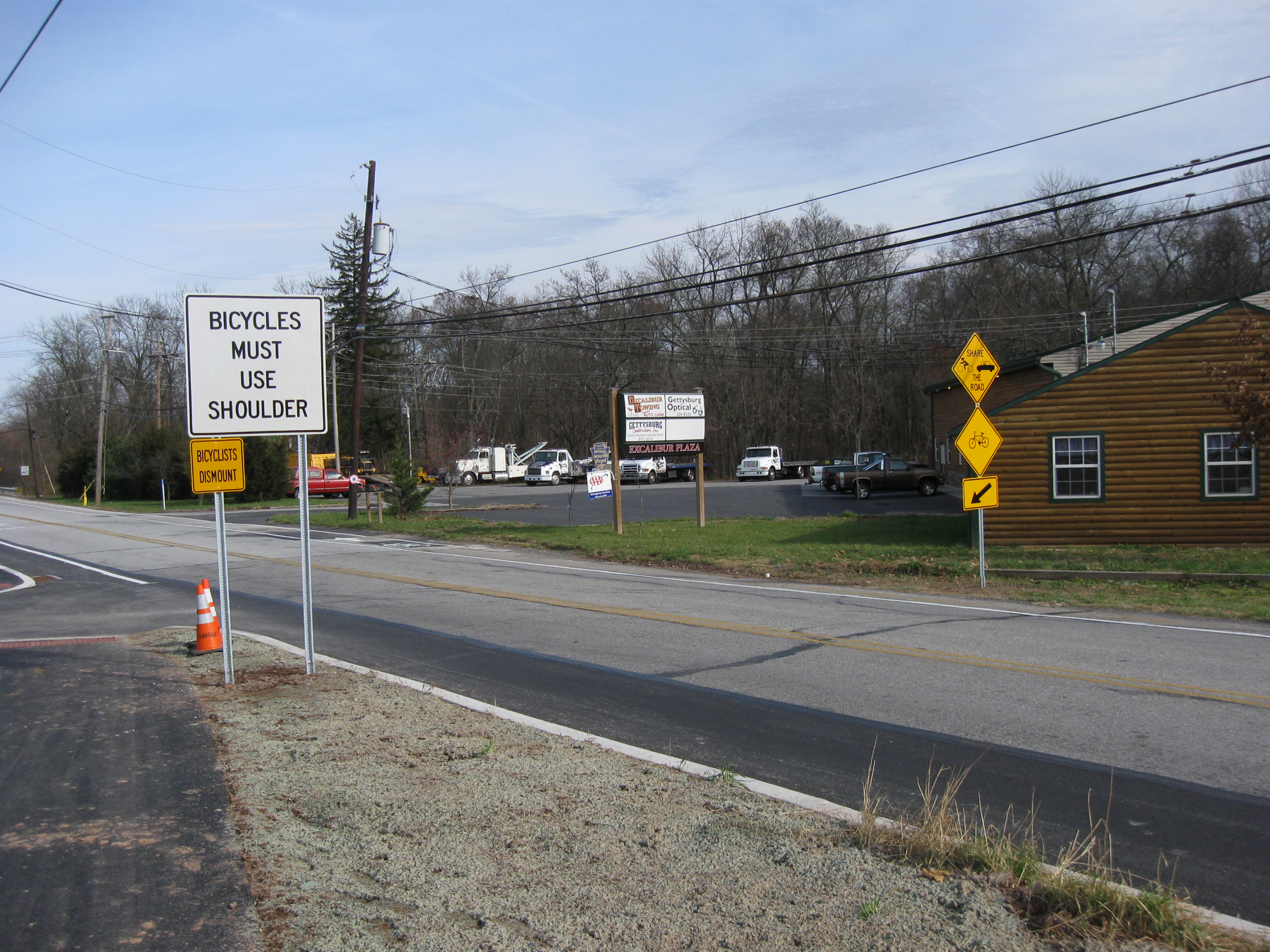
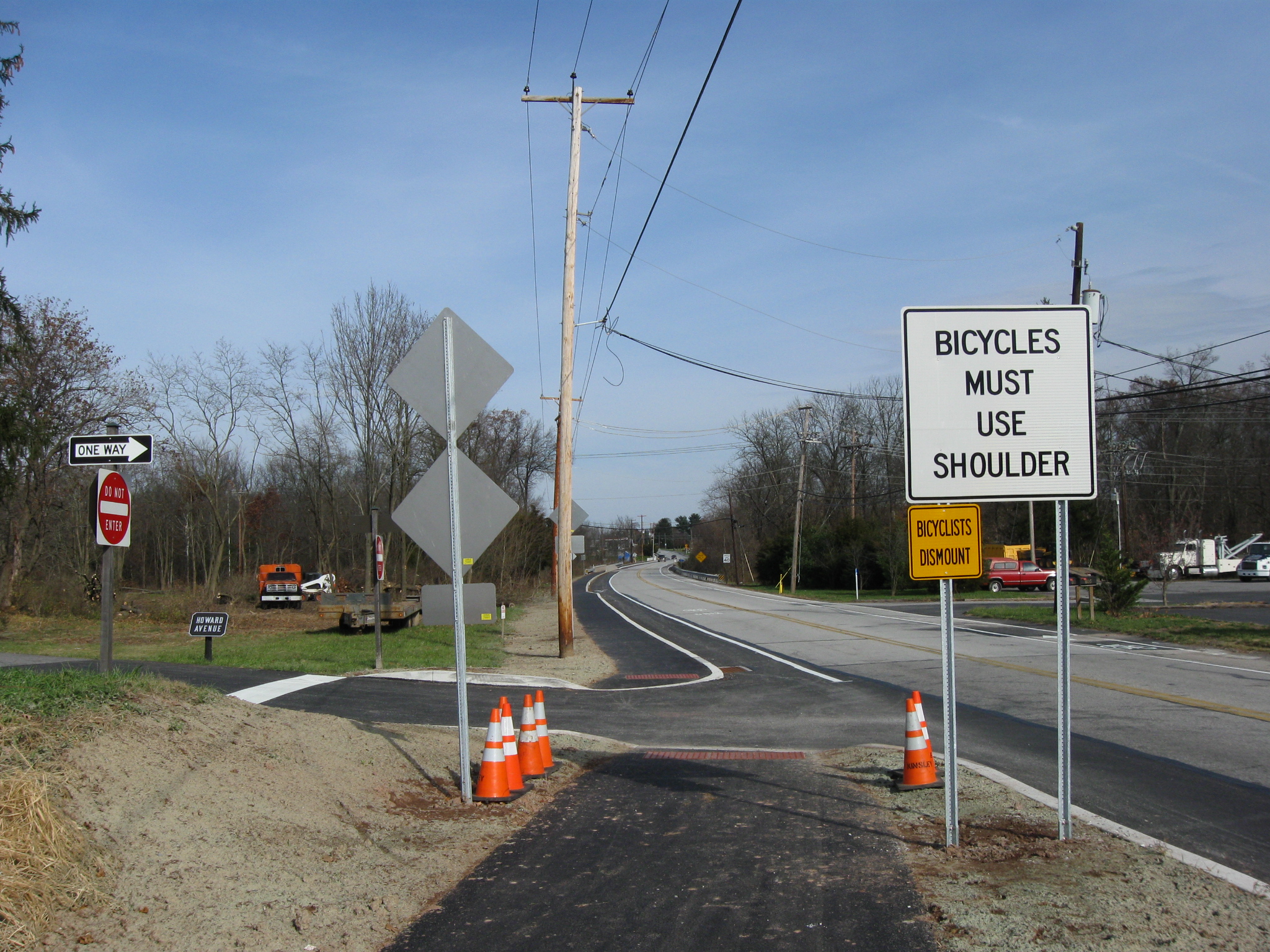
Here at the junction of Howard Avenue (a little of which is visible on the left) and the Harrisburg Road, bicyclists still moving north are supposed to dismount and cross to the other (east) side of the Harrisburg Road. This view was taken facing southwest at approximately 12:30 PM on Sunday, November 20, 2011.
Pedestrians are allowed to stay on the raised section of the trail which is just to the right of the telephone poll. Between the two white lines to the right of the telephone poll is the bicycle trail for bicyclists traveling south. This view was taken facing northeast at approximately 12:30 PM on Sunday, November 20, 2011.
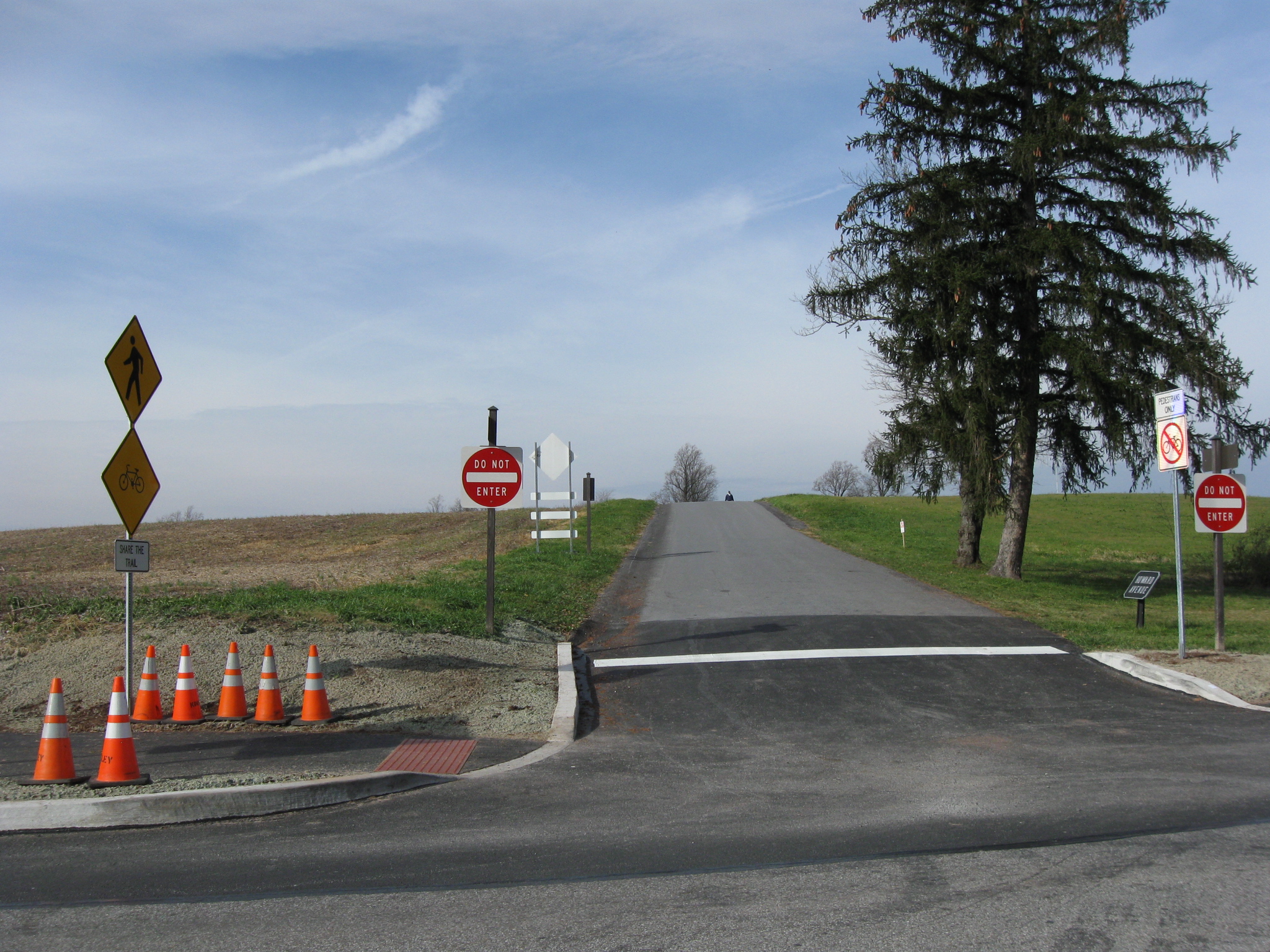
Another view of the junction of the Harrisburg Road (left to right) and Howard Avenue, which disappears over the rise in the background. On the right (north) side of Howard Avenue, and just to the right of the Do Not Enter sign is a sign stating “Pedestrians Only” and a bicycle with a red slash across it. The signs on the left (south) of Howard Avenue show where pedestrians and bicyclists again share the trail. This view was taken facing northwest at approximately 12:30 PM on Sunday, November 20, 2011.
In 1996, one of the main reasons for this approximately $700,000 project, was to get students safely from the borough to the new high school north of town and back. Will there be a crosswalk marked in this section for the bicyclists? This view was taken facing northeast at approximately 12:30 PM on Sunday, November 20, 2011.
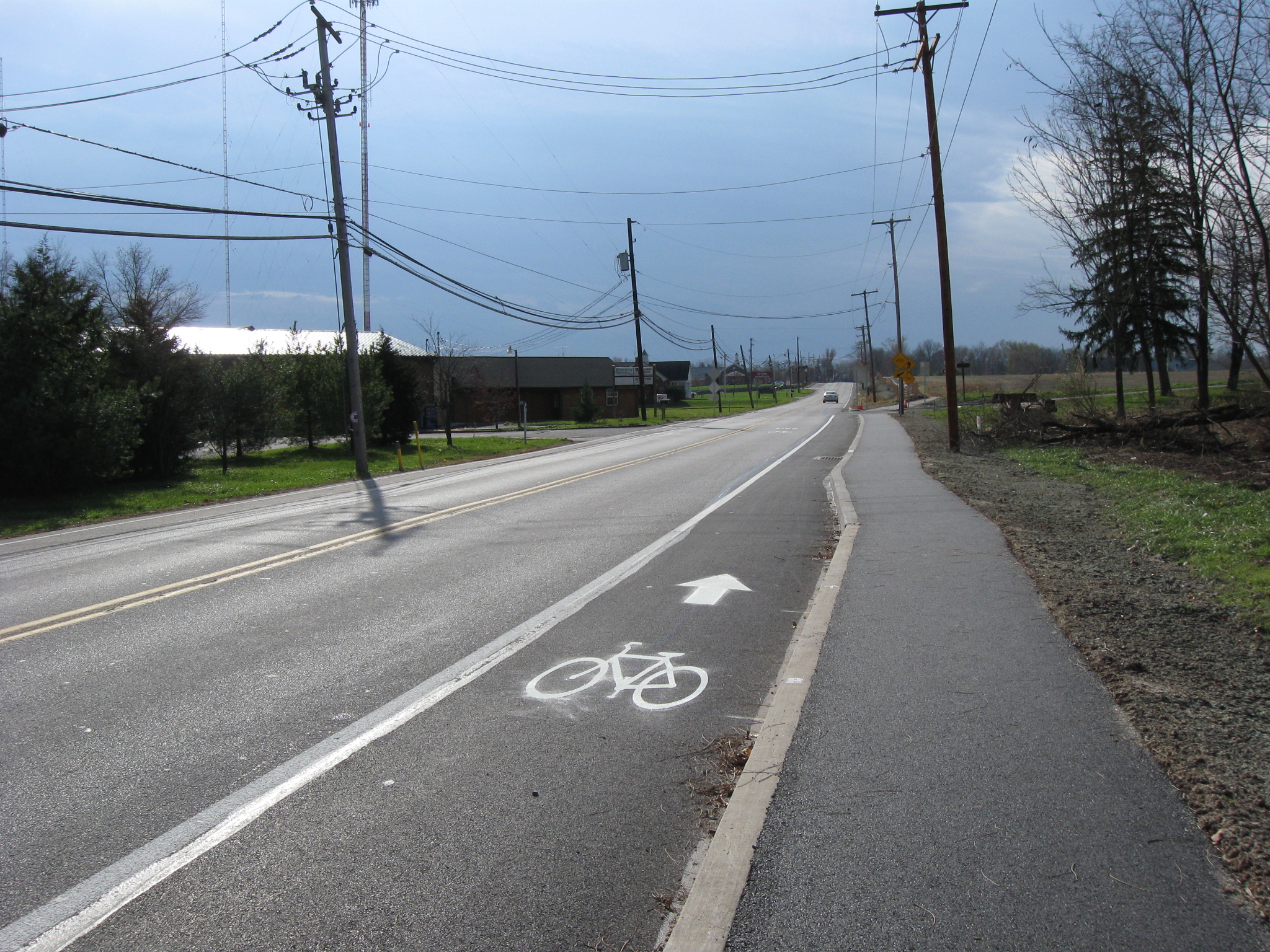
Now student bicyclists are to be taken off the raised pathway on the far left and be placed in the bike paths (glorified road shoulders) on the right and left of the Harrisburg Road. So there are now two bike lanes on which the cyclists are to follow the flow of traffic. Traffic frequently exceeds the speed limit on this road and students will be separated from this traffic by only a white line.This view was taken facing northeast at approximately 12:30 PM on Sunday, November 20, 2011.
The Borough of Gettysburg now allows bicyclists to use the sidewalks. Cumberland Township and Straban Township do not have ordinances prohibiting bicyclists from using sidewalks. So if you had a choice, and they can’t legally make you use the bike path/glorified road shoulder, why wouldn’t you stay on the safer raised walkway/pathway with your bike? This view was taken facing south at approximately 12:30 PM on Sunday, November 20, 2011.