

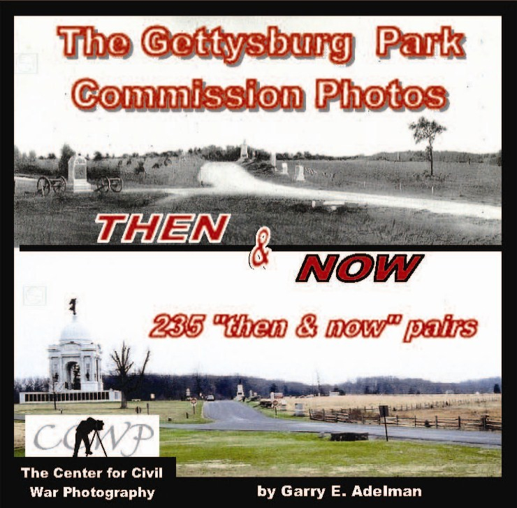
Gettysburg Licensed Battlefield Guide Garry Adelman, along with colleagues Tom Danninger and Barry Martin, systematically located the camera positions of the 237 photographs included in the Annual Reports of the Gettysburg National Military Park Commission, 1893-1904. The trio arranged the photos into seventeen sections and present the images in a “then & now” format along with a history of the project and the Park Commission on their CD, The Gettysburg Park Commission Photos: Then & Now. We continue their series with a sampling from each of the seventeen sections.
The Gettysburg National Park Commission (GNPC) issued annual reports from its creation in 1893 until stewardship was transferred to the National Park Service in 1933. The reports, issued each November, covering that year through October, outlined the work of the GNPC for that year. Reports from 1893-1904 were bound into one volume with the photographs that accompanied each report (a practice started with the 1895 report) printed en masse after the text. Together, these images provide a comprehensive view of the battlefield and the Commission’s work available nowhere else. Comparing the images to the same sites today speaks to the important issues of preservation, commercialization, monumentation, and the growth of the GNMP. It’s also simply “cool” to look at then & now photos!
For more in the Then & Now series, please click here.
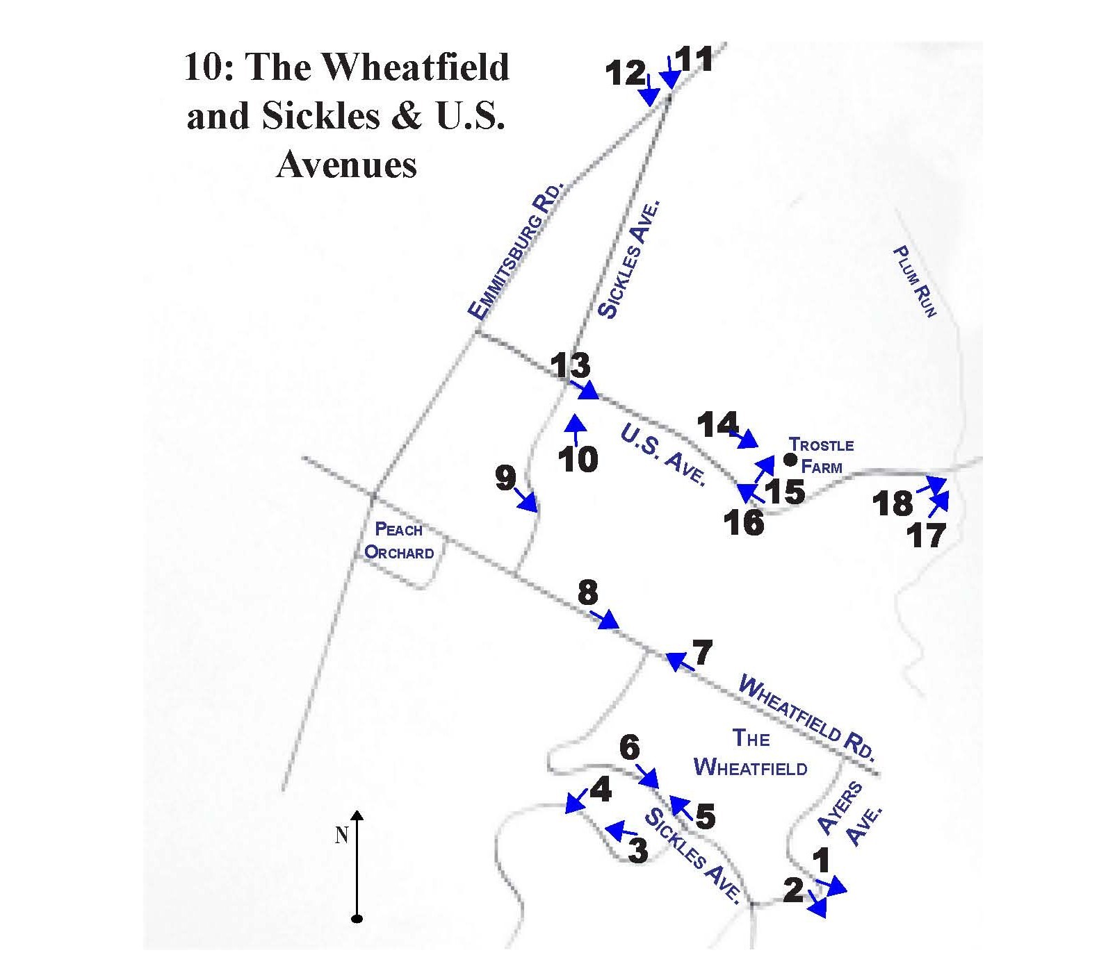
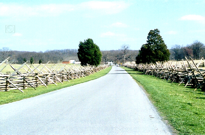
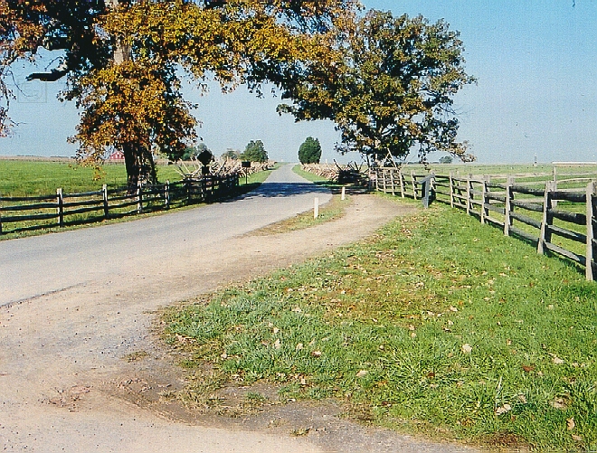
In today’s Gettysburg Then and Now post, Garry Adelman, Barry Martin, and Tom Danninger contiue with photographs taken in the area of the Wheatfield and the Peach Orchard.


To see other posts by Gettysburg Licensed Battlefield Guides, click here.