The Henry V. Fuller marker, one of the least visited markers at Gettysburg National Military Park, is located in Rose’s Woods along Rose’s Run. Rose’s Wheatfield is in the open area beyond the woods in the left background. This v[...]
In today’s Camp Letterman segment Gettysburg Licensed Battlefield Guide Phil Lechak shows us the hospital area near the York Road. The marker lists the United States Army’s General Hospitals following the Battle of Gettysburg. This view [...]
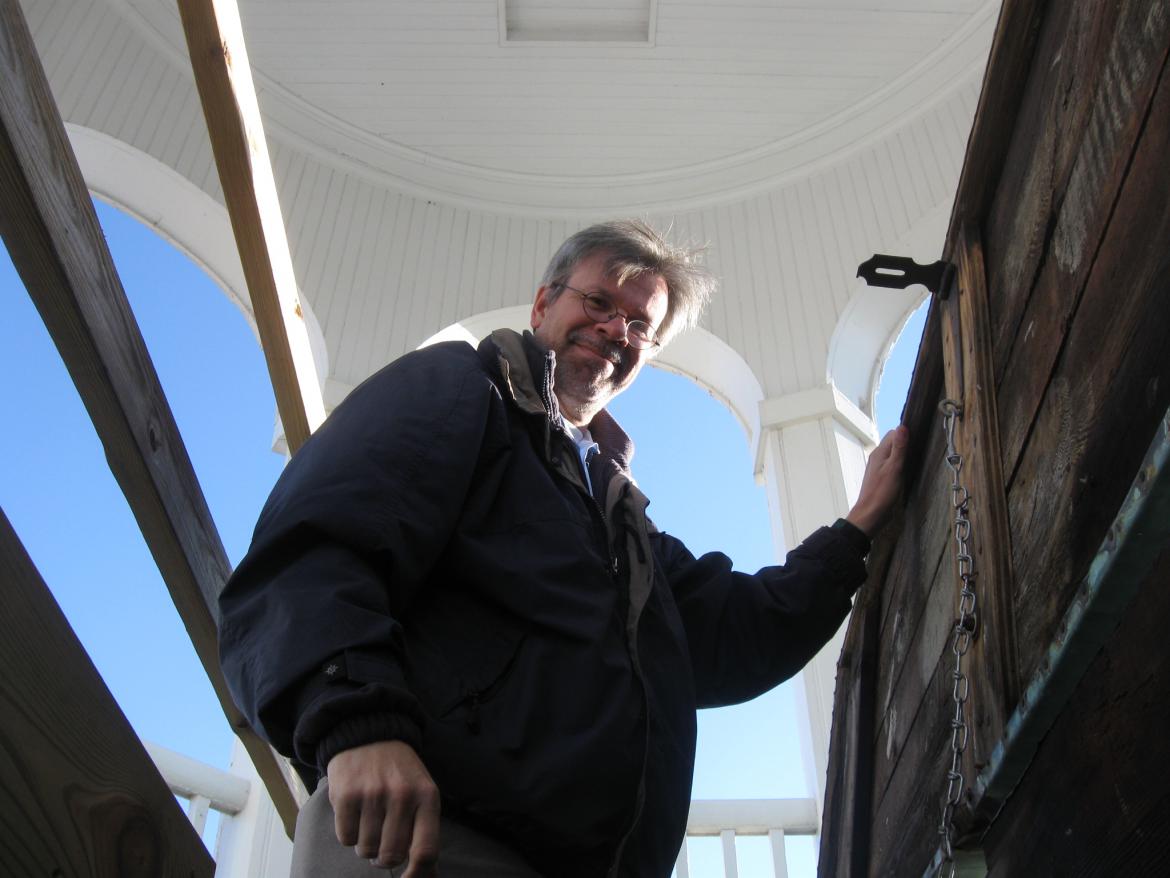
Licensed Battlefield Guide Tim Smith is also the Research Historian for the Adams County Historical Society located in Schmucker Hall on the campus of the Lutheran Theological Seminary. Today Tim tells us about stories about the cupola on top of the[...]
Today’s Camp Letterman segment covers the United States Sanitary Commission and the United States Christian Commission. Here is a photograph taken of the Sanitary Commission area, probably during its final days late in the fall, as many of the[...]
Licensed Battlefield Guide Tim Smith is also the Research Historian for the Adams County Historical Society located in Schmucker Hall on the campus of the Lutheran Theological Seminary. Today Tim shows us the new Battle of Gettysburg Civil War Resea[...]
Licensed Battlefield Guide Phil Lechak continues taking us around the Camp Letterman Hospital site with a segment on the Camp Letterman Cemetery. Phil is standing at the cemetery site, and pointing downhill to show that this location had good draina[...]
The Comfort Suites Motel on the Baltimore Pike is slowly but surely taking shape as a landmark which we will know and become fond of over the next several decades. Here is a view of the motel from the top of Cemetery Hill in Evergreen Cemetery. Th[...]
Here is a panorama from southeast corner of the observation tower on Oak Ridge taken on February 3, 2009. On the left the camera is pointing to the northeast and on the right of the view the camera is pointing to the southwest. For a larger view, [...]
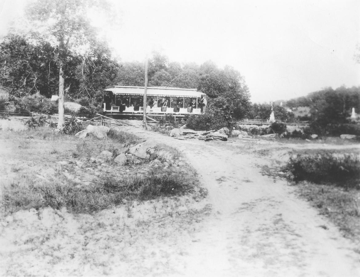
The Gettysburg Electric Trolley ran through the area of Rose’s Wheatfield. The Stony Hill/Loop area is in the left background. The Wheatfield is in the right background. Brooke Avenue is at the camera position running towards the trolley. This[...]
The Farnsworth House was known as the Sweney House at the time of the battle. It is located at the corner of Baltimore and South Streets. This view was taken facing northwest at approximately 4:15 PM on Wednesday, January 21, 2008. On Christmas Ev[...]


