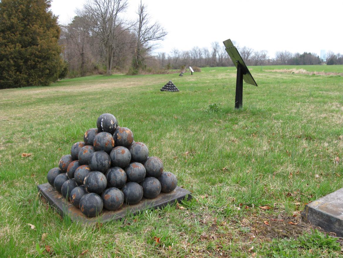
New waysides have made their appearance on Little Round Top. Here is the exhibit at the top of the hill overlooking Plum Run Valley (Valley of Death). This view was taken facing west at approximately 8:00 AM on Friday, April 24, 2009. The National[...]
Gettysburg Licensed Battlefield Guide Jim Hessler is standing near Maryland Highway 140 in the area where Sickles Third Army Corps camped the night of June 30, 1863. This view was taken facing southeast at approximately 4:00 PM on Sunday, April 19[...]
The west wall of the David Wills House parlor has three windows and three displays. This is the far left or south display on the wall. The left window contains an image of George Arnold’s store, on the southwest corner of the Diamond, which [...]
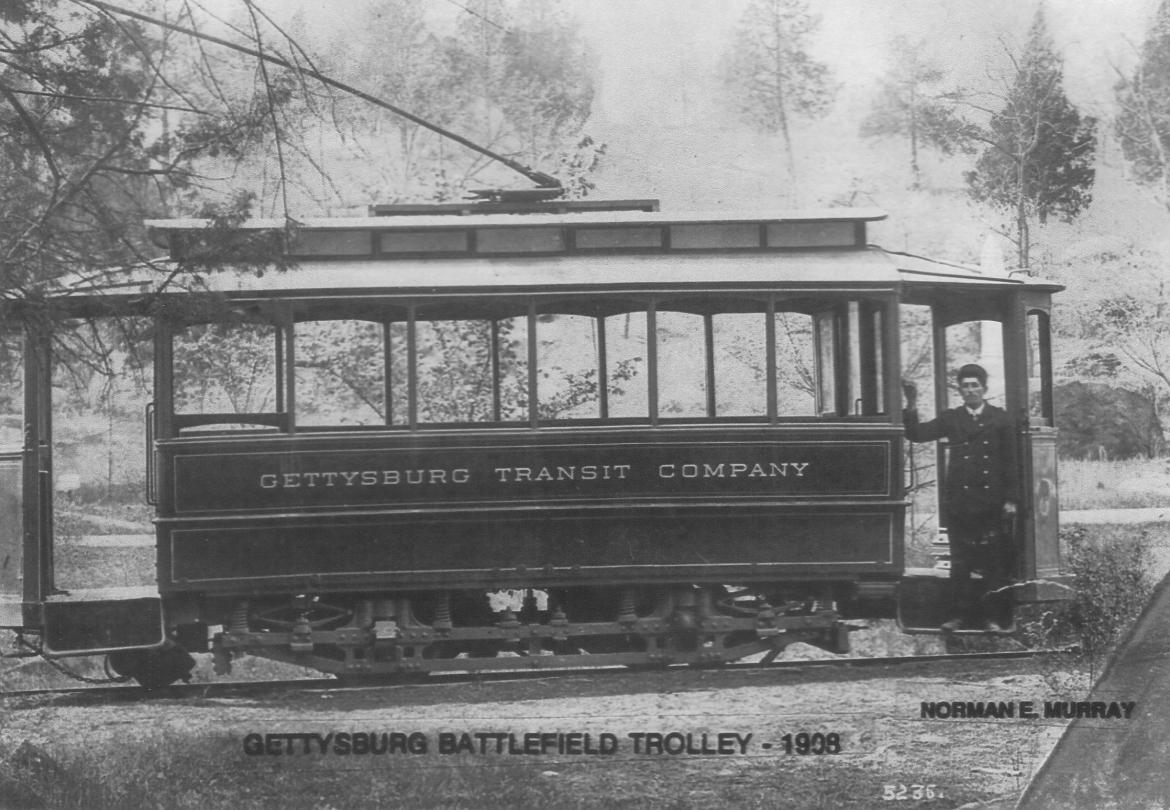
In today’s trolley post, we explore the tracks in the area of Devil’s Den. It is believed that there was a double set of tracks in this area. The photographer in this view is at Devil’s Den. The bridge on the right of this photo [...]
This photograph was taken near the Taneytown Road across (west of) the street from the entrance to the Soldiers National Cemetery. The cement foundations and floors/pads have been removed from the east and south sides of the old Visitor Center loc[...]
Gettysburg Licensed Battlefield Guide Tony DeLacy is our host for our Benner’s Hill series. Tony came to Gettysburg from the Philadelphia area, and has been a Licensed Battlefield Guide since 2004. This view was taken facing northwest at appro[...]
Paster Stephen R. Herr became pastor at Gettysburg’s Christ Evangelical Lutheran Church in 1999. Today he takes on a visit to the nave, or sanctuary, or central section of the church. This view was taken facing southeast at approximately 5:4[...]
Mathew Brady’s photograph of Union fortifications on Culp’s Hill. A couple of trees in this photograph are still standing as we have shown on our post of December 5, 2008. This photograph was taken facing south circa July 15, 1863. Ou[...]
Tracks from the Gettysburg Harrisburg Railroad cross Hancock Avenue on Cemetery Ridge just north of the monument to Dow’s Maine Battery. The George Weikert Farm is in the background. Big Round Top is above the George Weikert Farm. Weikert Hi[...]
Most of the trees that were on the James McAllister Farm between the Baltimore Pike and Spangler’s Spring have been cut and ground up/mulched. Powers’ Hill is in the background. This view was taken facing southwest at approximately 8:0[...]


