

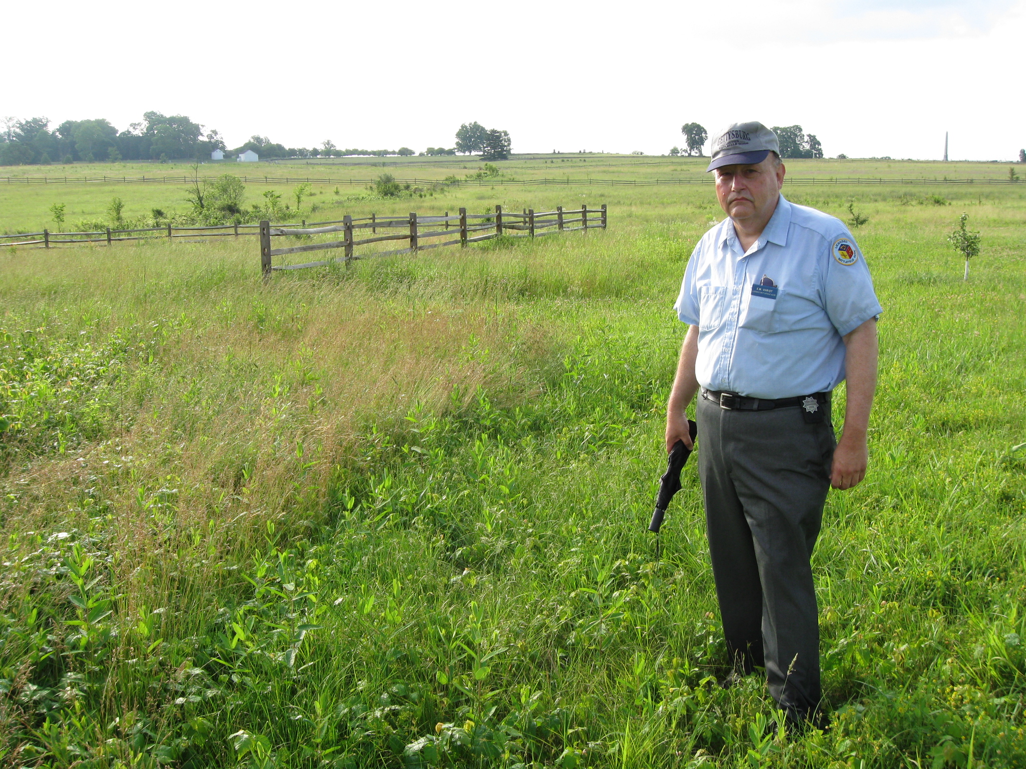
Gettysburg Licensed Battlefield Guide Elwood “Woody” Christ is the author of the book, Over a Wide, Hot,…Crimson Plain: The Struggle for the Bliss Farm at Gettysburg, July 2nd and 3rd, 1863. He is the host for our series on the fighting for the Bliss Farm. Woody is standing at the location of the Bliss Farm. The Copse/Clump/Group of trees on Cemetery Ridge is behind Woody’s head. The white Bliss Farm buildings are in the left background. This view was taken facing east at approximately 8:30 AM on Saturday, June 13, 2009.
In today’s post he describes the beginning of the skirmishing at the Bliss Farm on July 2, 1863.
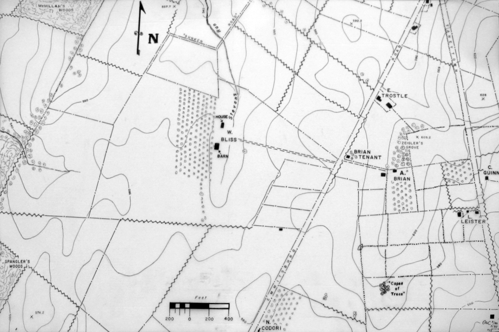
This map was provided to us by Woody Christ for the Bliss Farm posts.
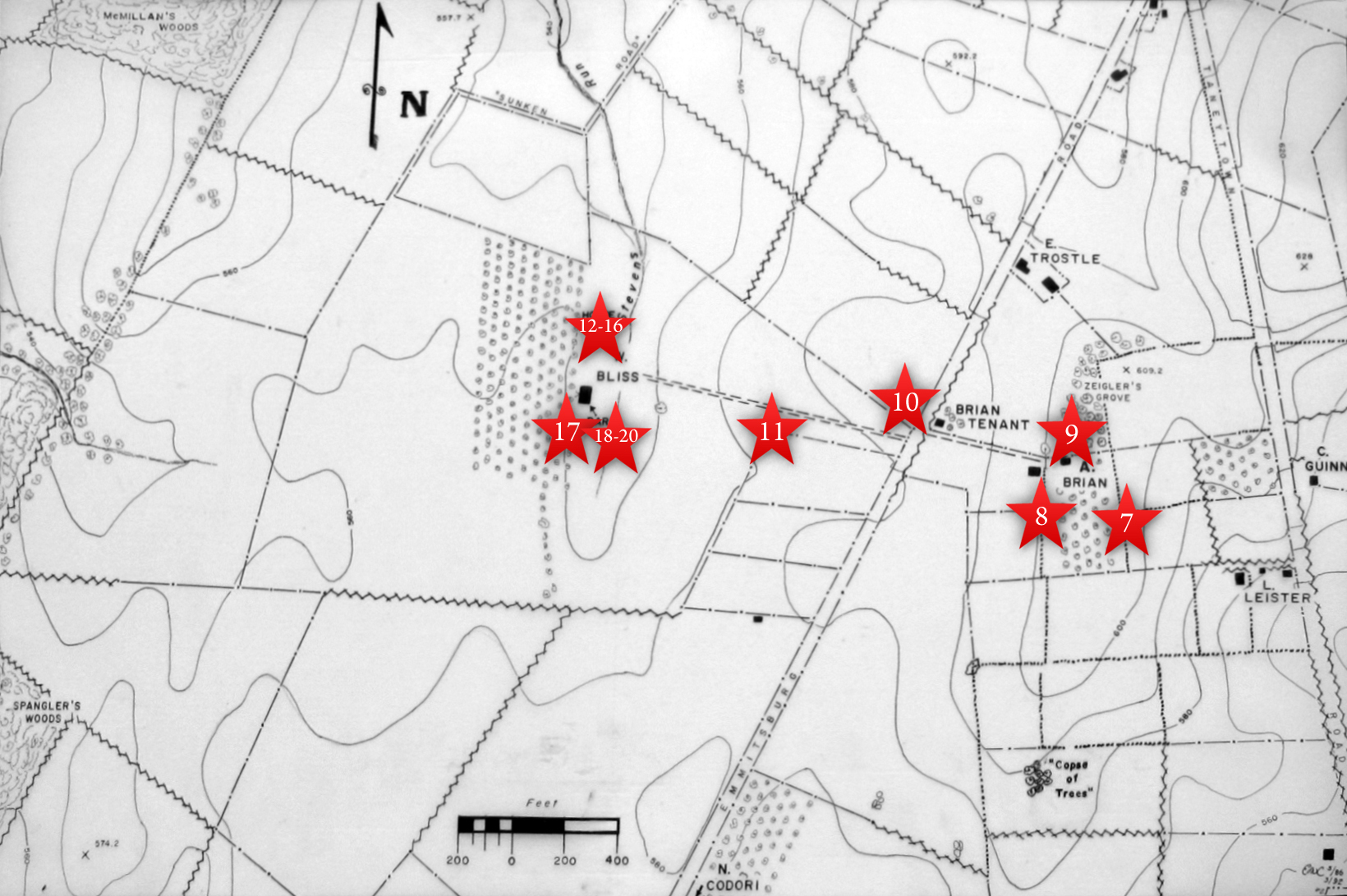
This map shows the location of where our Bliss Farm videos were produced. Videos #1-#6 were shown in our previous Bliss Farm posts. Video #7 was taken at the crest of Cemetery Ridge near the stone wall south of the old Cyclorama building. Video #8 was taken at the monument to the 1st Delaware Infantry Regiment. Video #9 was taken north of the Brian/Brian House. Video #10 was taken along the Emmittsburg Road near the Brian/Bryan farm lane. Video #11 was taken at the fence marking the skirmish line of the 14th Connecticut. Videos #12-#16 were taken at the site of the Bliss House. Video #17 was taken south of the Bliss Barn. Videos #18- #20 were taken southeast of the Bliss Barn. This map was created facing north at approximately 2:45 PM on Saturday, July 4, 2009.
In Video #18 (Videos #s 1-17 were seen in our previous Bliss Farm posts) Gettysburg Licensed Battlefield Guide Woody Christ describes how Colonel Harris of the 1st Delaware had his headquarters at the Bliss Farm buildings. He retreated after the Confederates outflanked the 1st Delaware at the Bliss Farm, and Major-General Winfield Scott Hancock removed Harris from command. This view was taken facing east at approximately 8:30 AM on Saturday, June 13, 2009.
In Video #19 Licensed Battlefield Guide Woody Christ presents the number of soldiers and casualties involved in the Bliss Farm fighting. This view was taken facing east at approximately 8:30 AM on Saturday, June 13, 2009.

Licensed Battlefield Guide Woody Christ is standing northwest of the marker to the 12th New Jersey Infantry Regiment. The white buildings at the Brian Farm are in the background. This view was taken facing east at approximately 8:30 AM on Saturday, June 13, 2009.
In Video #20 Woody Christ describes how after the 1st Delaware was forced out of the Bliss buildings on July 2, 1863, the United States scrambled to find other units to retake the Bliss Farm. One of the units Woody failed to mention in his description was the 106th Pennsylvania. This view was taken facing east at approximately 8:30 AM on Saturday, June 13, 2009.