
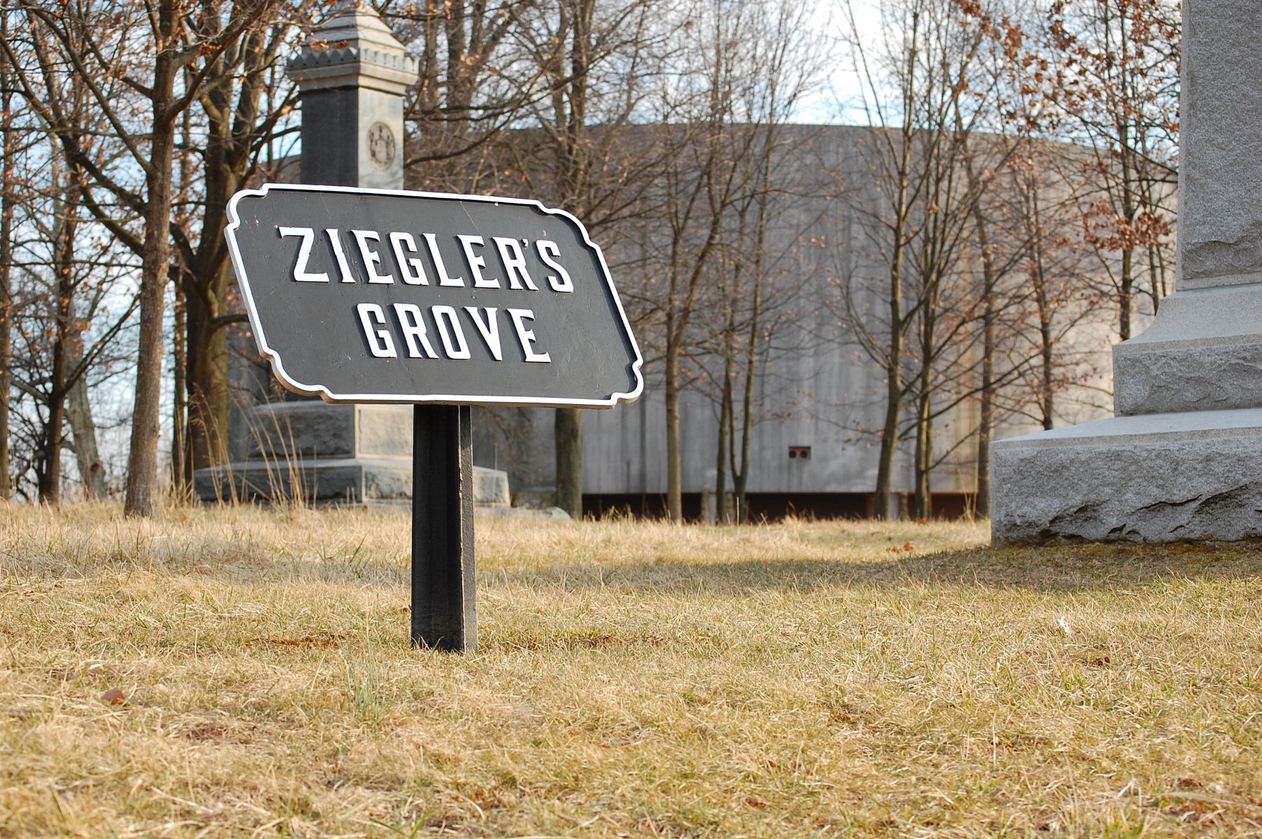
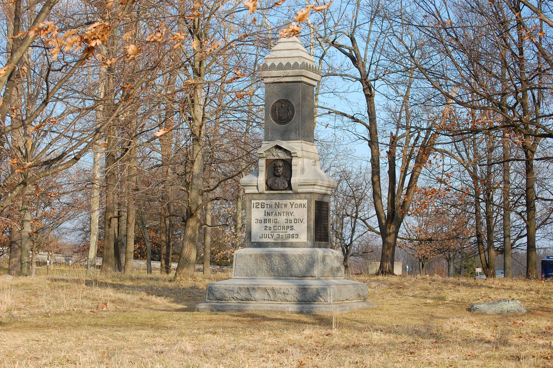
The Cyclorama Center still looms in the background, pending an environmental assessment and planning process. The monument to the 126th New York Infantry is in the left of frame behind the Ziegler’s Grove sign and the base of the monument to Brigadier General Alexander Hays can be seen on the right. This view was taken facing southeast at approximately 4:30 PM on Tuesday, February 21, 2012.
It’s been a while since we updated you on the future of North Cemetery Ridge and the parking situation in this area. Today we’ll take a look at what the National Park Service plans to do with the area, and take a walk around some of the area known as “Ziegler’s Grove.” The Taneytown Road entrance to the Soldiers National Cemetery can be seen in the center of this view. This view was taken facing northeast at approximately 4:30 PM on Tuesday, February 21, 2012.

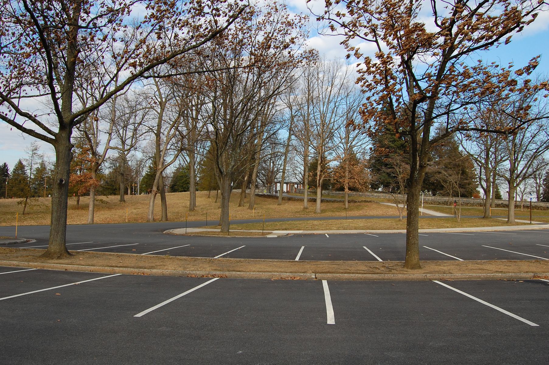
This parking lot, which already appears on National Park Service brochures as the “National Cemetery Parking Lot,” will be here in its current form, along with the old Visitors Center Lot (out of frame to the left) until 2013, after the 150th Anniversary. Both lots will be involved in the “Smart Parking” plan for visitors to the sesquicentennial, which we will discuss in greater detail next week. This view was taken facing east at approximately 4:30 PM on Tuesday, February 21, 2012.

The National Park Service has wanted to remove the old Cyclorama Building for quite a while now — our last real update on that story was in November of 2010. The image above is from a treatment plan developed for the NPS specifically concerning the rehabilitation of North Cemetery Ridge once the Cyclorama Building is gone (note the restoration of historic orchards, like the “Frey Orchard” in this image). When this treatment was developed the “shrunk” Cyclorama Lot/National Cemetery Lot was only going to provide space for 30 cars and 4 buses. Understandably, projections changed, and today the sized down parking lot calls for 57 car spaces and 4 bus spaces. You may click on this image for a larger and more readable PNG copy of the treatment plan.

In attempting to remove the Cyclorama Building, the argument has to be made that the ground it occupies is more important than the 1960s building that sits upon it. The 108th New York Infantry monument is in the left of frame. Let’s take a walk around this part of North Cemetery Ridge and read some excerpts from National Park Service historian Kathy Harrision. This view was taken facing southwest at approximately 4:30 PM on Tuesday, February 21, 2012.
“Even before the battle spread to North Cemetery Ridge on July 2 its importance was recognized by the high command of the Union army. On July 1, the adjoining Cemetery Hill had been occupied by a reserve force as key terrain on which the army could concentrate while the battle erupted and spread north and west of the town. When the Southern army outflanked and dislodged that July 1 battle line, Cemetery Hill and North Cemetery Ridge provided the military terrain that anchored the Union defensive line throughout the remainder of the battle. The Union First and Eleventh Corps fell back to these elevated positions, the First Corps occupying the North Cemetery Ridge portion of the new battle line.” Woodruff’s 1st US Battery I is shown in this shot. This view was facing southwest at approximately 4:30 PM on Tuesday, February 21, 2012.

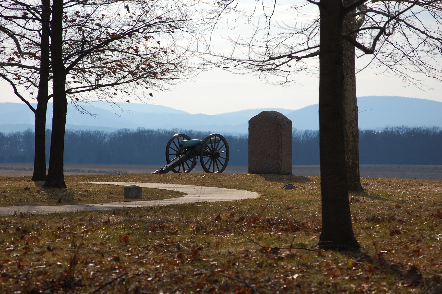
“By the morning of July 2, the Second Corps arrived and strengthened the line along the ridge. In addition, reserve brigades from both the First and Second Corps massed just in rear of North Cemetery Ridge, ready to move in any direction to defend either the ridge or Cemetery Hill. One six-gun battery from the Second Corps artillery brigade deployed in the shelter of the woods of Ziegler’s Grove at the northern end of North Cemetery Ridge. Here it—and its infantry support—would protect and cover the low gap between the ridge and Cemetery Hill from any enemy movement in that direction.” This view was taken facing south at approximately 4:30 PM on Tuesday, February 21, 2012.
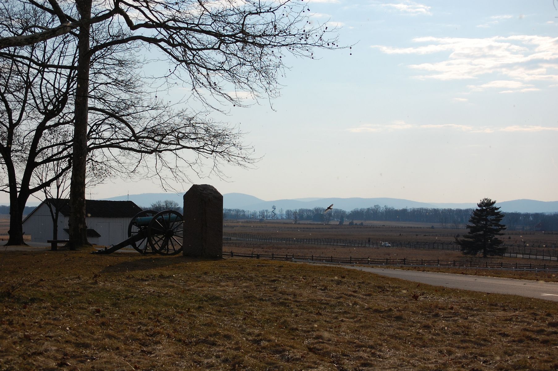
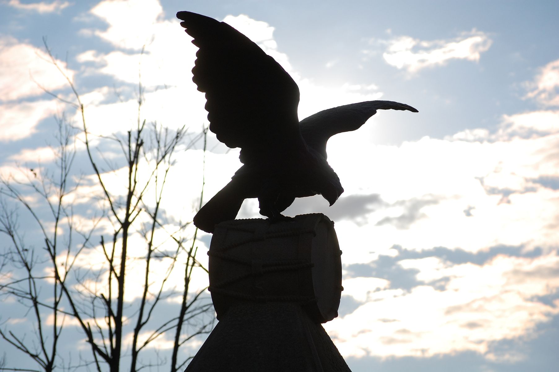
“The threat of just such a movement occurred at the close of the fighting on the evening of July 2. Several brigades from Hill’s Confederate corps advanced from their positions in this direction in an attempt to take Cemetery Hill from the west side at the same time other Confederate brigades were attacking the hill from the opposite side. The strength of the entrenched and elevated positions on the Hill and at the northern extremity of North Cemetery Ridge deterred any attack, even in the dark. This contributed greatly to the disastrous loss among Southern infantry attacking East Cemetery Hill and allowed the Union reserves to the rear of North Cemetery Ridge to move over to the Hill to save the breaking battle line there.” See if you can spot the hawk in this picture (it shouldn’t be too difficult). This view was taken facing southwest at approximately 4:30 PM on Tuesday, February 21, 2012.
“On the morning of July 3, the Union battery in Ziegler’s Grove attracted the fire of Southern batteries to the west and northwest. These guns were testing the Union defenses on North Cemetery Ridge and affirming the distances for a massive cannonade that was to occur in the afternoon. This artillery fire prompted Union infantry to strengthen their temporary defenses of rails and dirt. This was accomplished by moving and adding stones from a farm wall that divided the eastern edge of Ziegler’s Grove from an adjoining meadow. This action provided some defense from the afternoon’s artillery fire and protected infantry as it prepared to receive the anticipated Confederate attack on the afternoon of July 3.” The North Steinwehr Avenue entrance to the National Cemetery Lot and Hancock Avenue are present in this view. This view was taken facing west at approximately 4:30 PM on Tuesday, February 21, 2012.
“[…] ‘Pickett’s Charge,’ was repulsed all along the Union battle line, but at no point more soundly than in front of the northern extremity of North Cemetery Ridge. At no other point of attack by the Confederate column was it repulsed before even reaching the Emmitsburg Road. The infantry and artillery defense of this part of the ridge and of Cemetery Hill prevented any possibility of the enemy penetrating the gap in the military terrain either by the attacking column or by its planned supports. Although there was more dramatic hand-to-hand fighting farther south on Cemetery Ridge where the line was pierced by a small number of Confederates, the significance of the defense of North Cemetery Ridge, the gap, and Cemetery Hill on the afternoon of July 3 was more dramatic in its tactical and strategic consequences. The inability of the Southern army to secure the key terrain of Cemetery Hill after three days of battle curtailed the invasion of the North and led to the final retreat of that army into Virginia, where it would spend the remainder of the war defending the Confederate capital from capture.” This view was taken facing east at approximately 4:30 PM on Tuesday, February 21, 2012.
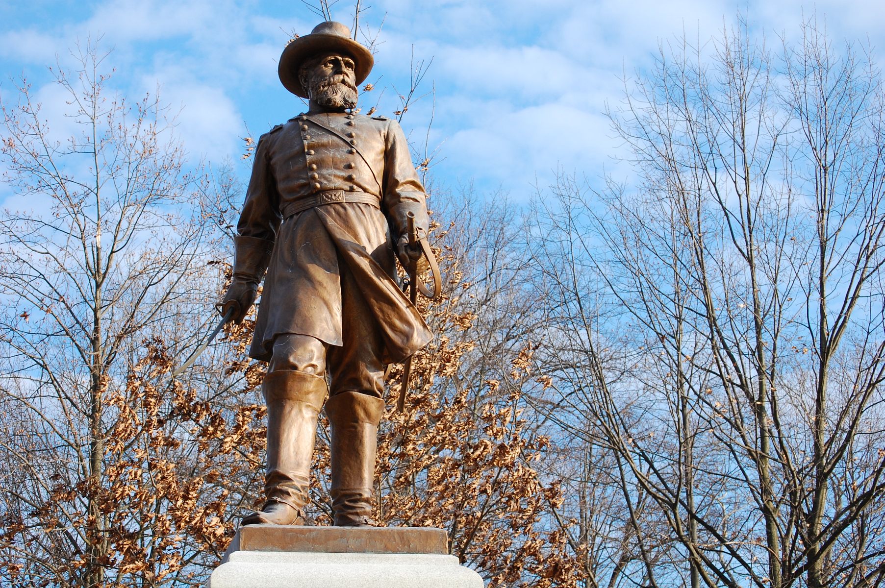
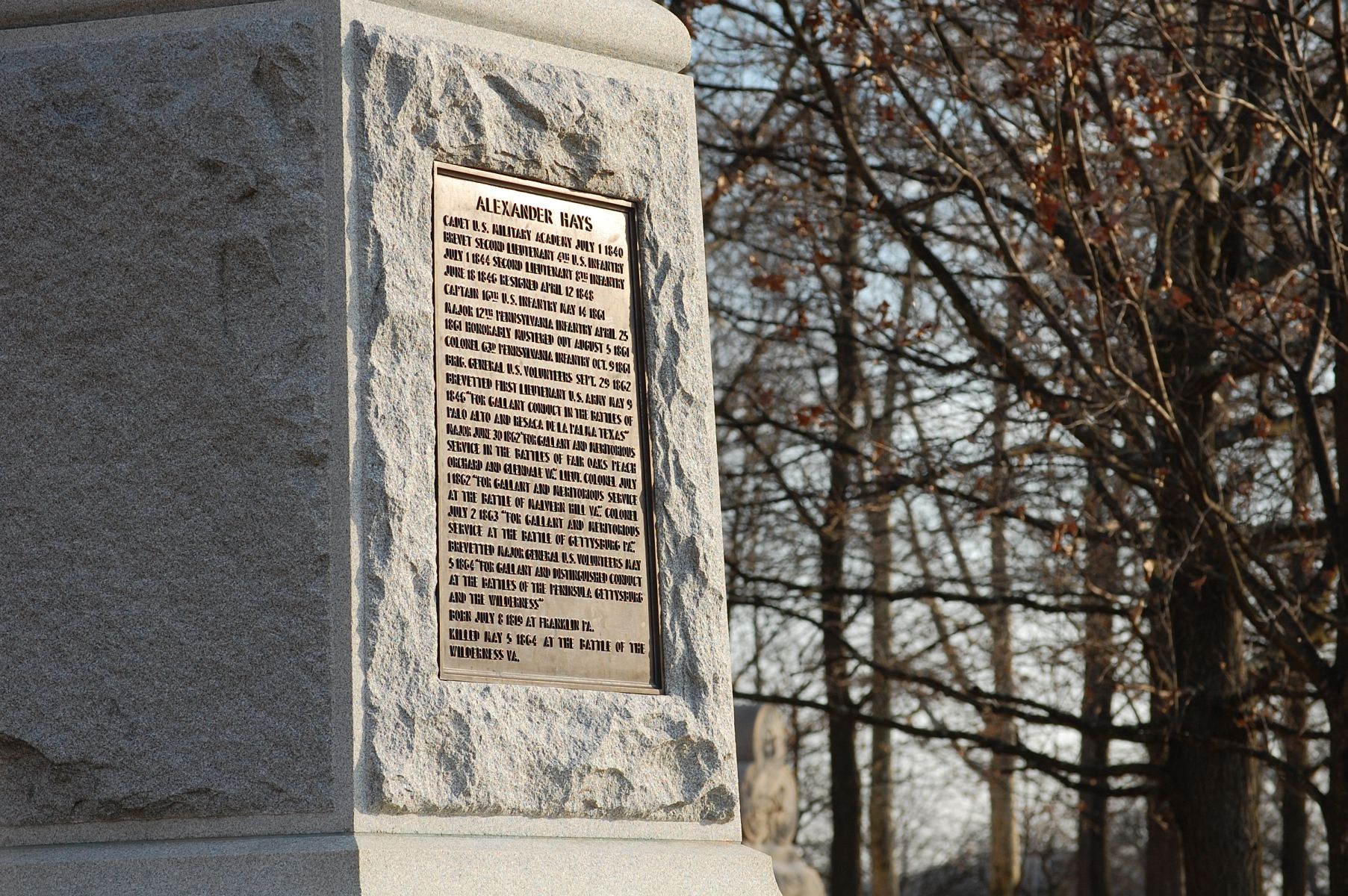
The monument to Brigadier General Alexander Hays, commander of the 3rd Division of the 2nd Corps of the Army of the Potomac. This view was taken facing southeast at approximately 4:30 PM on Tuesday, February 21, 2012.

This view was taken facing southeast at approximately 4:30 PM on Tuesday, February 21, 2012.
This view was taken facing southeast at approximately 4:30 PM on Tuesday, February 21, 2012.
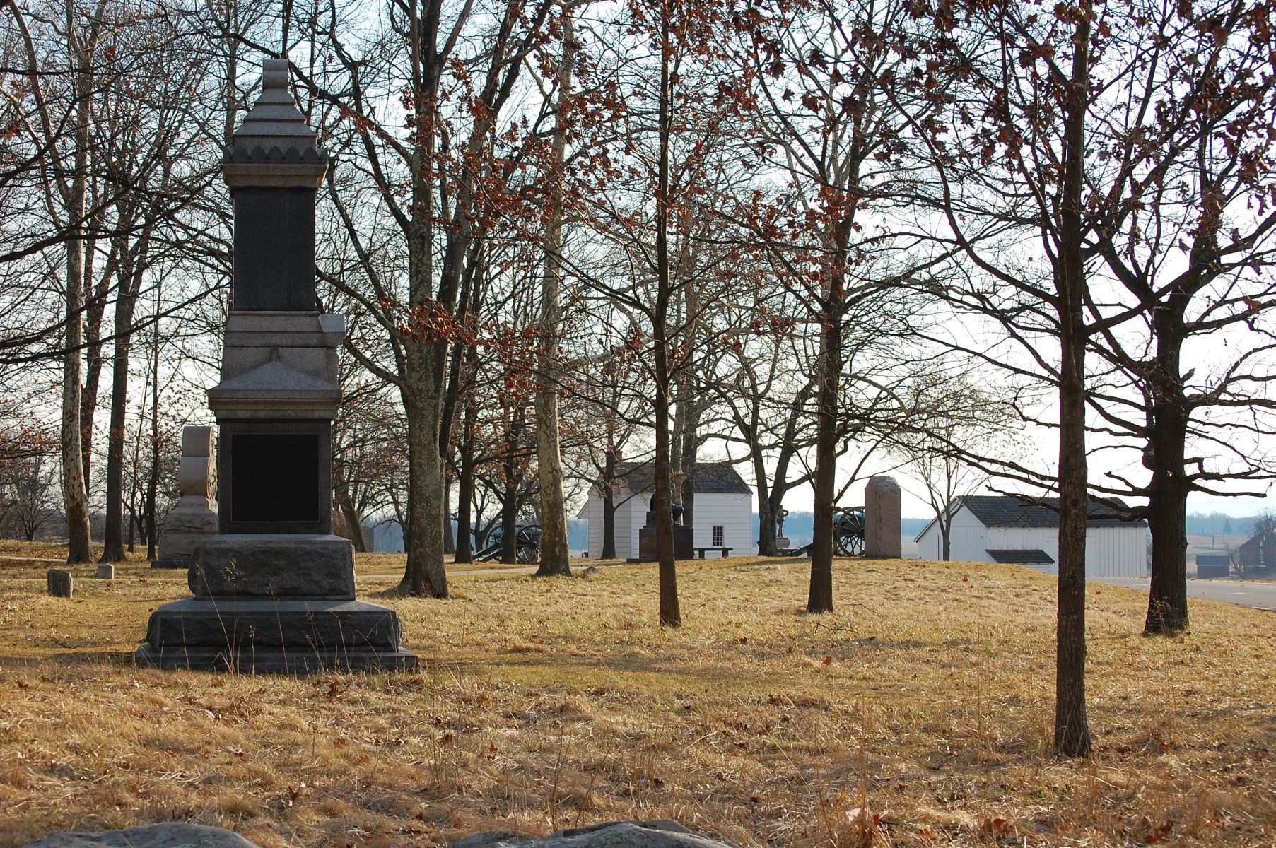
With all the monuments in this area, many of our readers might not be aware that a number of monuments/markers were moved during the construction of the Cyclorama Parking Lot from their original locations on North Cemetery Ridge. The Brian House and Barn are visible in the center-right of this photo. This view was taken facing southwest at approximately 4:30 PM on Tuesday, February 21, 2012.
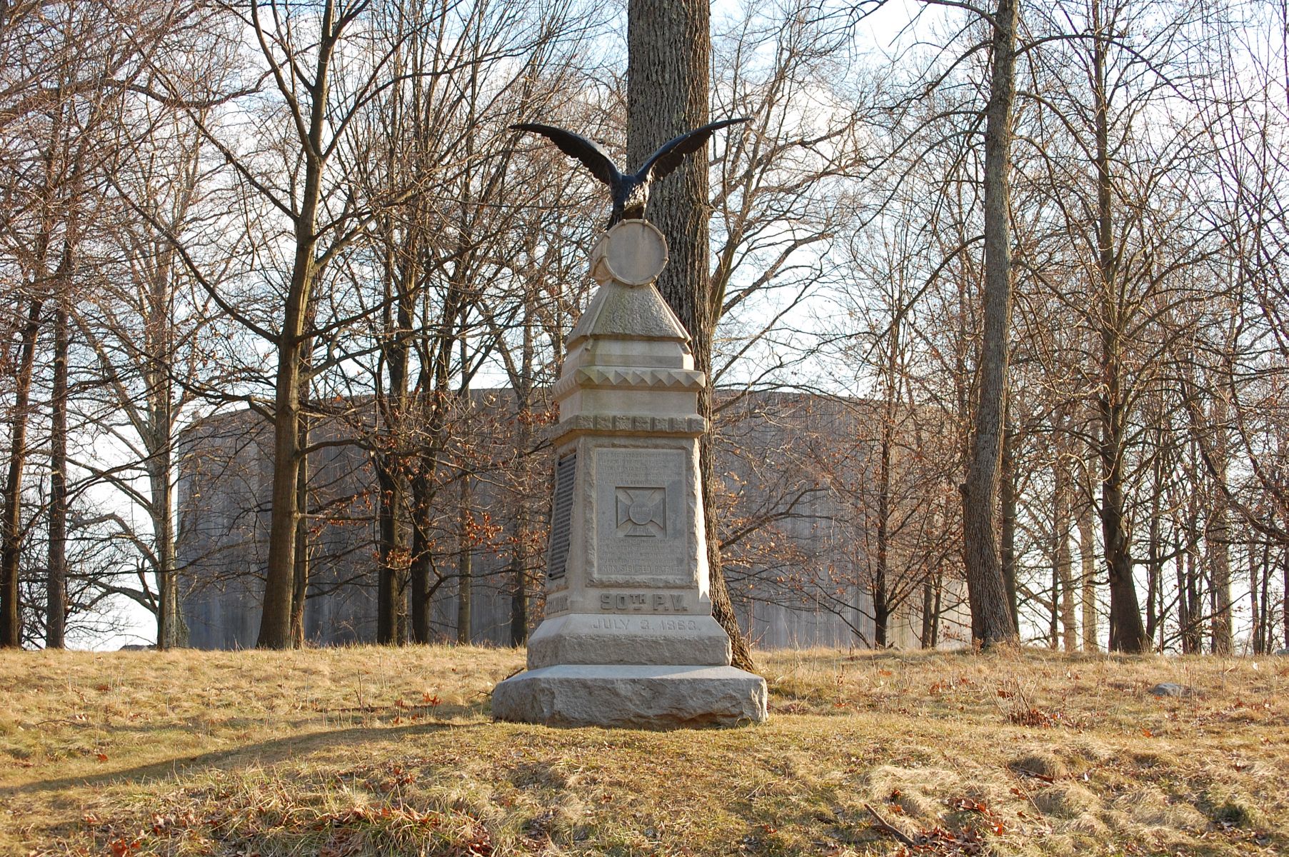
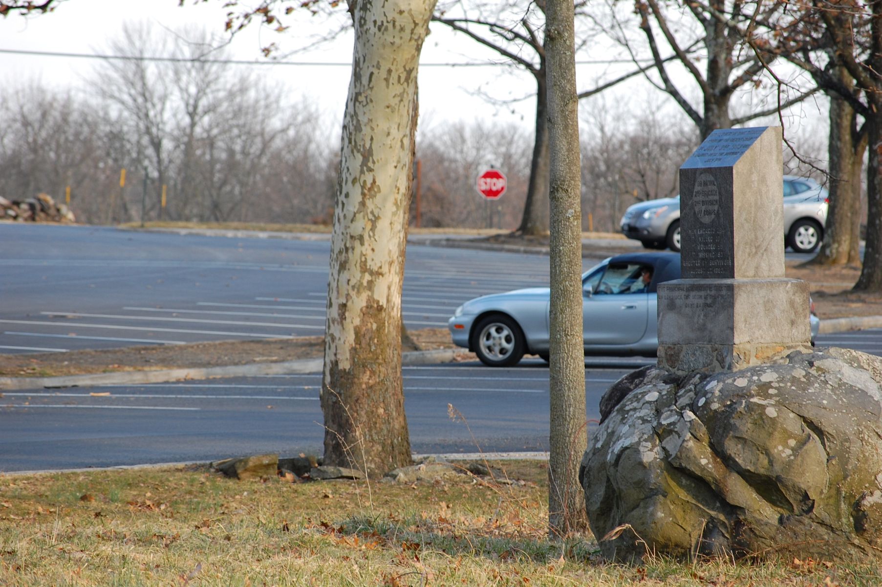
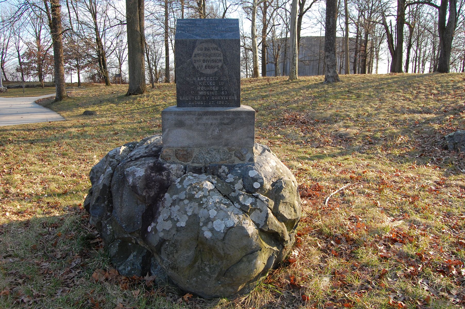
One of these monuments is this one to the 90th Pennsylvania Infantry, along with its right flank marker. This view was taken facing south at approximately 4:30 PM on Tuesday, February 21, 2012.
This view was taken facing west at approximately 4:30 PM on Tuesday, February 21, 2012.
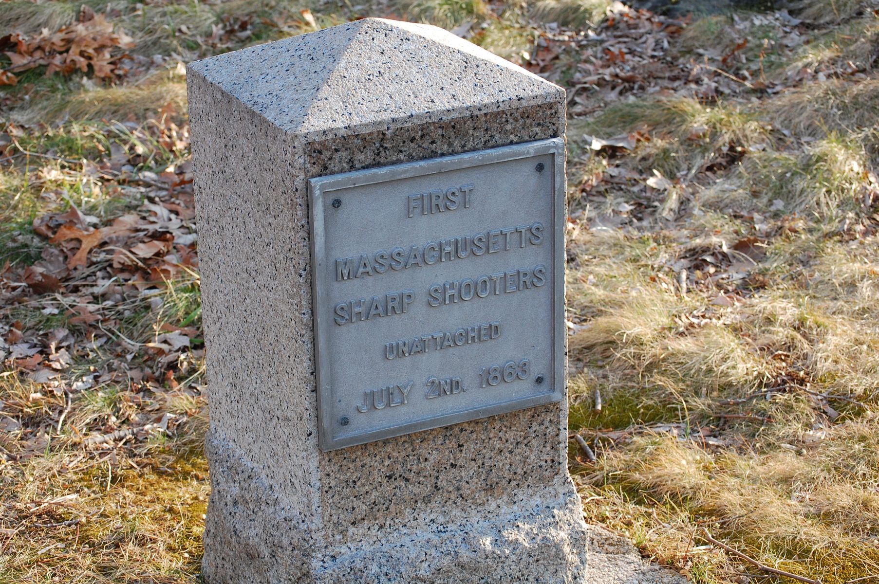
Just down the cross-road to the parking lot is the monument to the 1st MA Sharp Shooters … This view was taken facing southeast at approximately 4:30 PM on Tuesday, February 21, 2012.
… and the monument to the 88th Pennsylvania. This view was taken facing east at approximately 4:30 PM on Tuesday, February 21, 2012.
Also moved, but needing to be relocated once the parking lot is resized are the following: Martin’s Battery 5th US tablet and the 12th MA. This view was taken facing south at approximately 4:30 PM on Tuesday, February 21, 2012.

Right now the majority of these monuments line the cross-connector roadway from Hancock Avenue. There is currently no timetable for returning these markers to their original locations, but it will definitely be after the 150th, with funding for the North Cemetery Ridge rehab and relocation of the markers provided by the Gettysburg Foundation. This view was taken facing east at approximately 4:30 PM on Tuesday, February 21, 2012.

Once the lot is resized, it will also have space for a Freedom Transit stop. This view was taken facing northeast at approximately 4:30 PM on Tuesday, February 21, 2012.
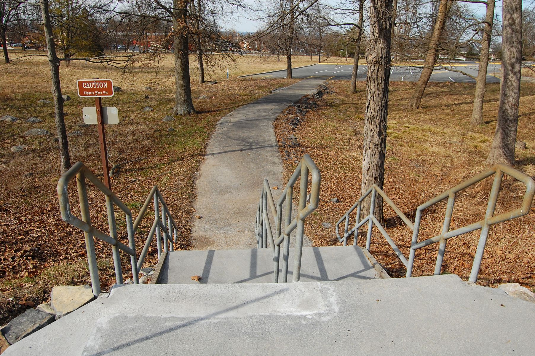
The lot that will be removed entirely is the old Visitors Center lot, which you can still access via this pathway. This view was taken facing north at approximately 2:45 PM on Thursday, February 23, 2012.

The lot is closed now because it’s not needed during the winter, but it will see use for overflow until the 150th is concluded. This view was taken facing north at approximately 2:45 PM on Thursday, February 23, 2012.

When we were diligently following the demolition of the Old Gettysburg National Military Park Visitor Center in 2009, we speculated about what would be done with both the parking lots in this area. This view was taken facing east at approximately 2:45 PM on Thursday, February 23, 2012.
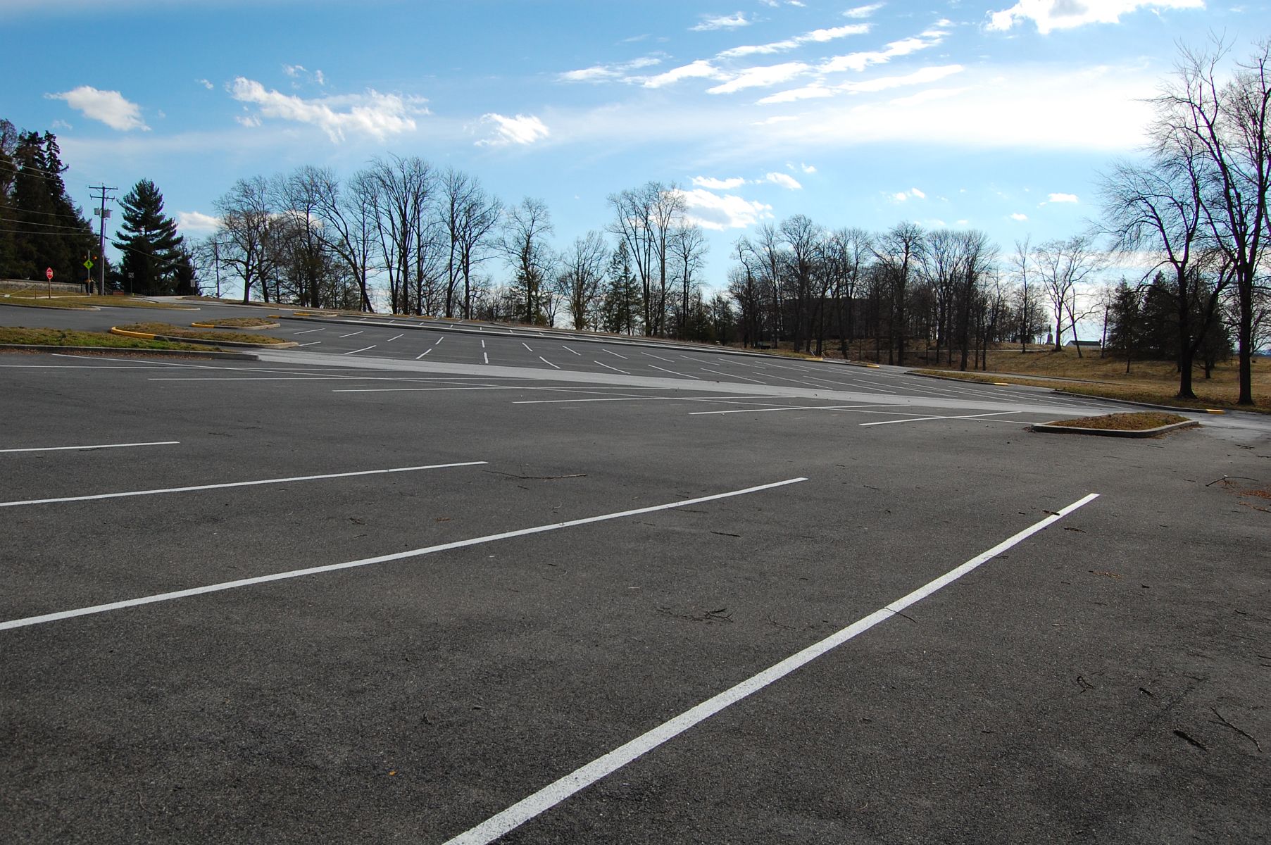
It makes sense that there will always have to be some parking in this area, even if it’s not this lot in the foreground. This view was taken facing south at approximately 2:45 PM on Thursday, February 23, 2012.

For visitors who want to access the National Cemetery, walking from the new Visitors Center is too far, and the resized National Cemetery Lot should fill that concern. This view was taken facing southeast at approximately 2:45 PM on Thursday, February 23, 2012.
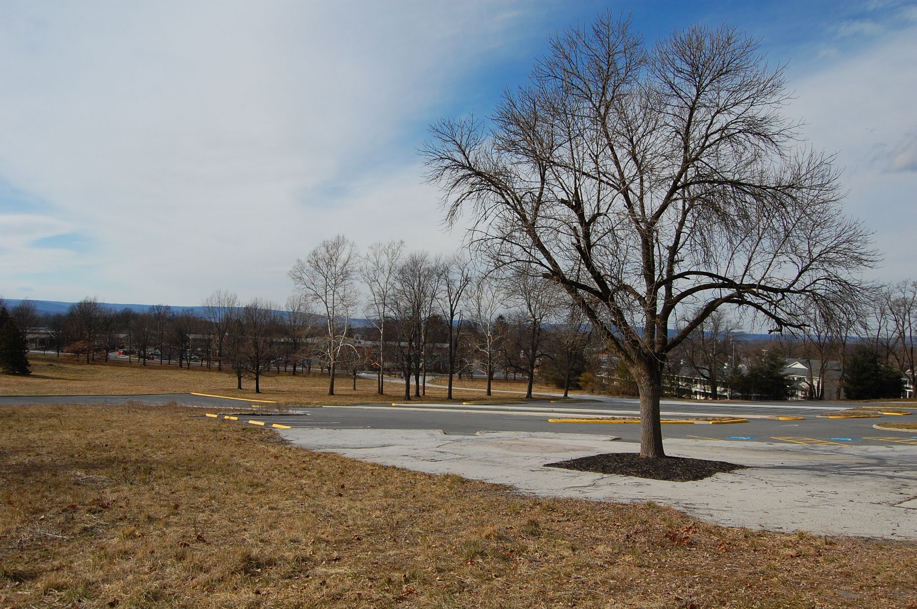
The tree that many visitors waited under for guides and family members for decades still stands in its concrete patch, with the town of Gettysburg in the background. This view was taken facing southwest at approximately 2:45 PM on Thursday, February 23, 2012.