

Over 20 inches of snow, and a lot of wind contributes to scenes such as this on East Cemetery Hill. The guns belong to Weidrich’s New York Battery. This view was taken facing north at approximately 8:15 AM on Sunday, February 7, 2010.
The Gettysburg area received over 20 inches of snow on Saturday, February 6, 2010. To show you how it looked the morning after the snow stopped, we walked from the north end of town towards East Cemetery Hill, and documented our journey with photographs.

We’ll start our walk at the intersection of Broadway and the Old Harrisburg Road northeast of downtown Gettysburg. We are looking north along the Old Harrisburg Road. The Adams County Alms House was located to the left of the first rise in the background. This view was taken facing northeast at approximately 7:15 AM on Sunday, February 7, 2010.

We’ll start heading into town along the Old Harrisburg Road. This view was taken facing southwest at approximately 7:15 AM on Sunday, February 7, 2010.
Here’s the Crawford House, one of the locations where Brigadier General Francis Barlow recovered from his Gettysburg wound on July 1, 1863. This view was taken facing northwest at approximately 7:15 AM on Sunday, February 7, 2010.

By the way, does everyone know that the Rutters here closed at the beginning of the year? This view was taken facing southwest at approximately 7:30 AM on Sunday, February 7, 2010.
The snow plows have really performed well during the emergency. We are now looking west along Lincoln Avenue. The Old Harrisburg Road joins Lincoln Avenue on the right. This view was taken facing west at approximately 7:15 AM on Sunday, February 7, 2010.

Those fortunate enough to have snow blowers have created their snow lanes on top of the sidewalks. This view was taken facing west at approximately 7:15 AM on Sunday, February 7, 2010.
Looking south on Stratton Street at its junction with Lincoln Avenue. This view was taken facing south at approximately 7:15 AM on Sunday, February 7, 2010.

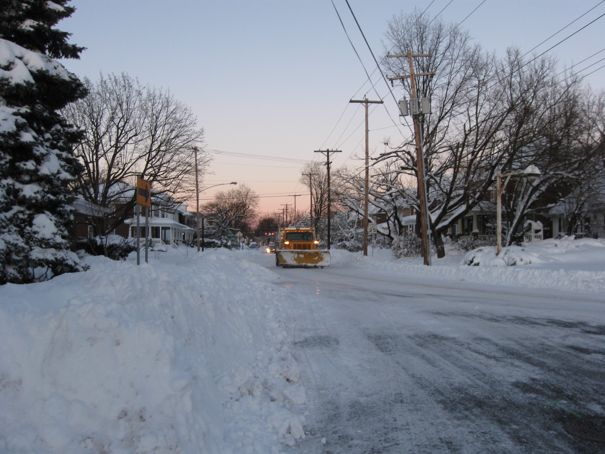
We kept west on Lincoln until it met the Carlisle Road/Carlisle Street. We are looking north along the Carlisle Road. This view was taken facing north at approximately 7:30 AM on Sunday, February 7, 2010.
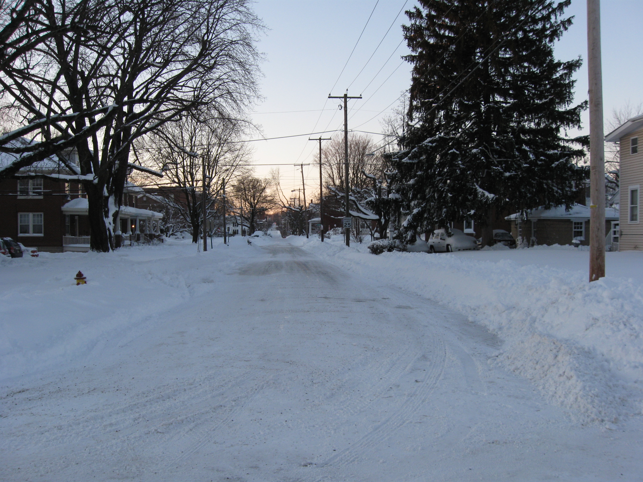
We’re going to walk towards the center of town along Carlisle Street for a little while. As you can tell, there’s not a lot of traffic this morning. This view was taken facing north at approximately 7:30 AM on Sunday, February 7, 2010.

Stevens Hall on the Gettysburg College campus is not a Civil War era building. It was constructed in 1868. This view was taken facing southwest at approximately 7:30 AM on Sunday, February 7, 2010.
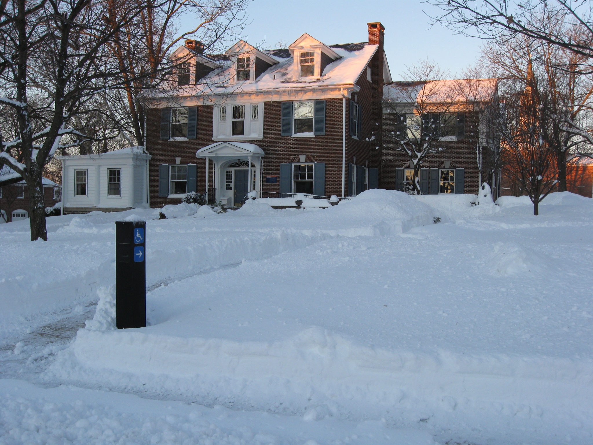
The Eisenhower House is one of the locations where President Dwight D. Eisenhower had an office following his presidential years. This view was taken facing southwest at approximately 7:30 AM on Sunday, February 7, 2010.
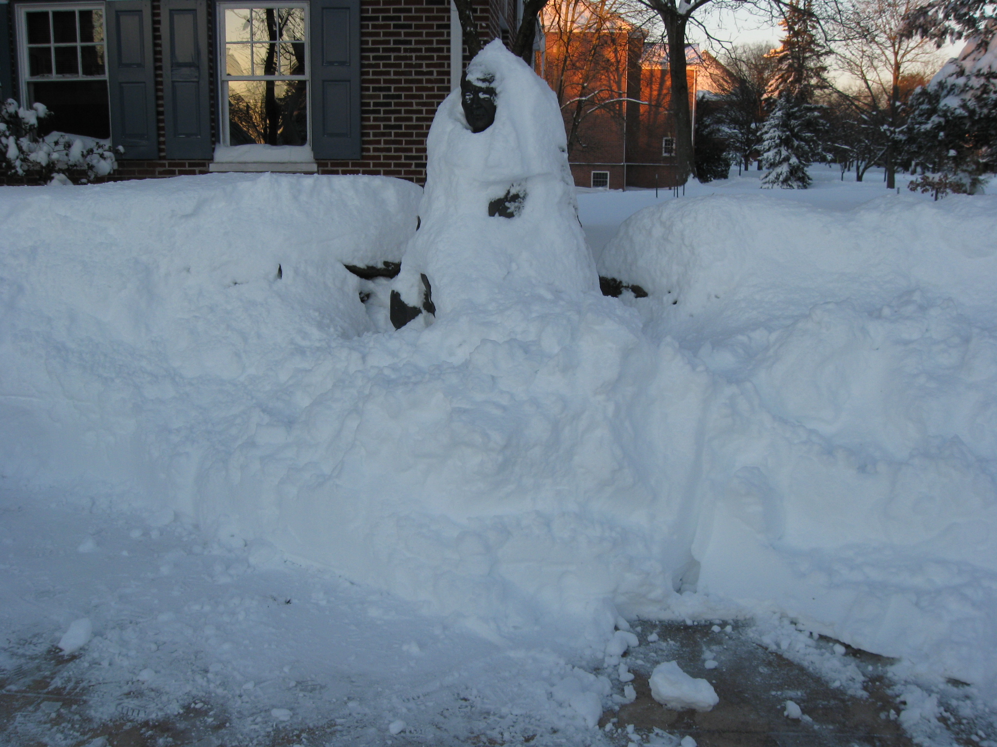
The Eisenhower Statue in front of the Eisenhower House is not very visible this morning. This view was taken facing west at approximately 7:30 AM on Sunday, February 7, 2010.

Here’s how it looks with less snow.

So now we’ve become distracted from our movement towards the Diamond, and we’re moving towards the main part of the Gettysburg College campus on Stevens Street. This view was taken facing west at approximately 7:30 AM on Sunday, February 7, 2010.

The east side of Pennsylvania Hall as seen from the junction of Stevens Street and Washington Street (right to left). This view was taken facing west at approximately 7:30 AM on Sunday, February 7, 2010.

Pennsylvania Hall. This view was taken facing northwest at approximately 7:45 AM on Sunday, February 7, 2010.
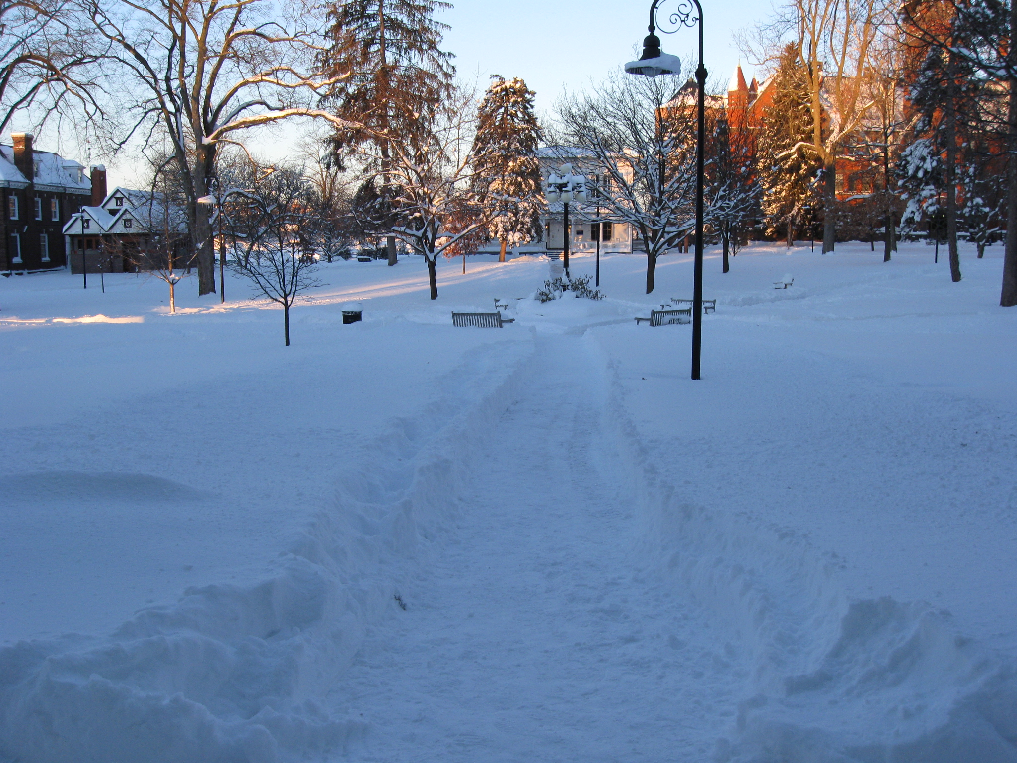
One of the main pathways on the Gettysburg College campus. We’ll walk down it to see if we can get another shot of Pennsylvania Hall. The Baugher House (Pennsylvania College President’s House in the 1860s) is the white building in the center background. This view was taken facing northwest at approximately 7:45 AM on Sunday, February 7, 2010.

Pennsylvania Hall. This view was taken facing north at approximately 7:45 AM on Sunday, February 7, 2010.
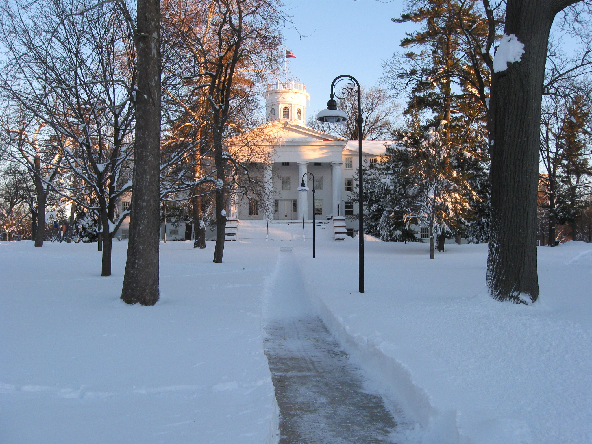
Pennsylvania Hall. This view was taken facing north at approximately 7:45 AM on Sunday, February 7, 2010.
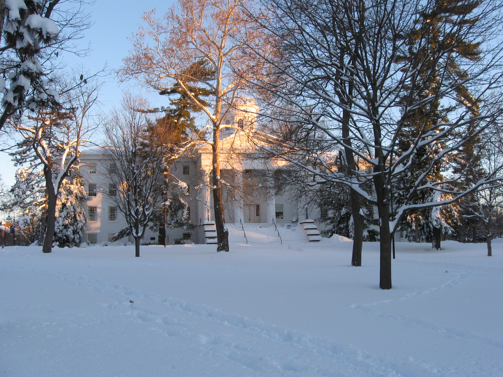
Pennsylvania Hall. This view was taken facing northeast at approximately 7:45 AM on Sunday, February 7, 2010.

We’ve shown you the Baugher House/Old President’s House (constructed in 1860) a couple of times over the last two years. This view was taken facing southwest at approximately 8:00 AM on Sunday, February 7, 2010.

Even though Glatfelter Hall is not a Civil War era structure (the cornerstone was laid in 1888), the sun hitting is this morning caught our attention. This view was taken facing northwest at approximately 8:00 AM on Sunday, February 7, 2010.

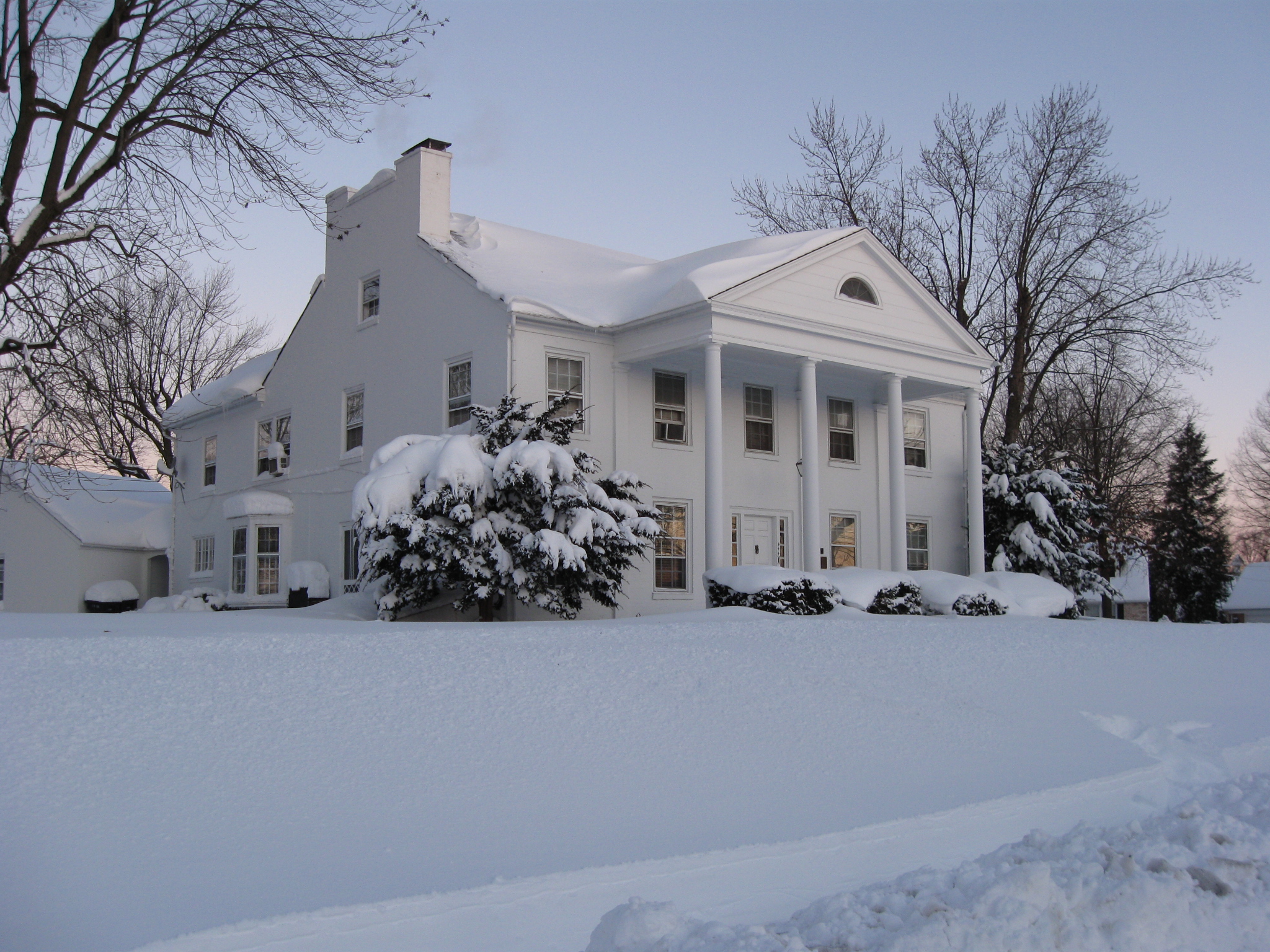
The building with the white columns is one of the locations where Major Dwight D. Eisenhower, his wife, Mamie, and their son, Icky, stayed while he commanded Camp Colt in 1918. This view was taken facing southeast at approximately 8:00 AM on Sunday, February 7, 2010.

Washington Street looking north. This view was taken facing north at approximately 8:00 AM on Sunday, February 7, 2010.
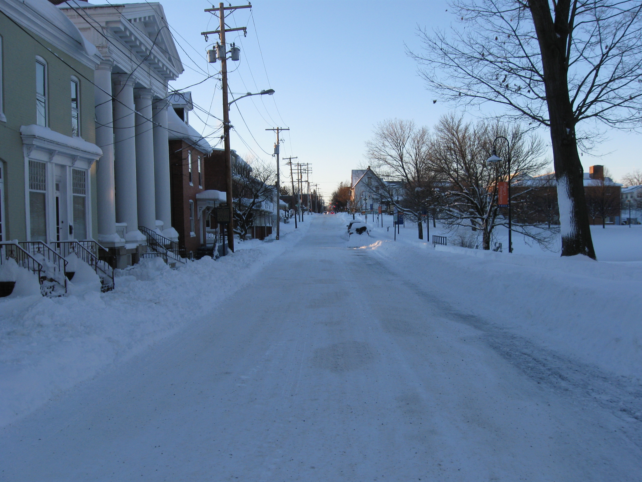
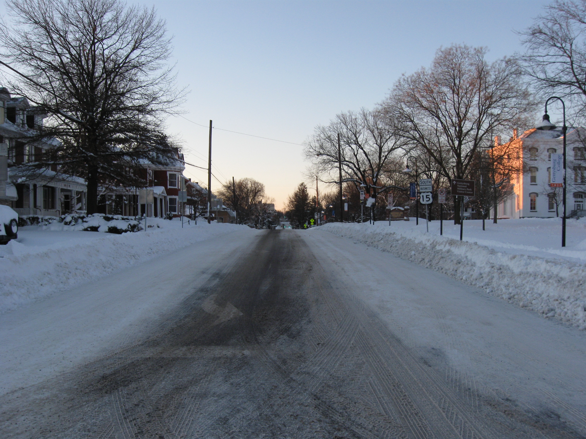
We’ll go south on Washington Street for a little while as we make our way towards Gettysburg’s Town Square/Diamond. This view was taken facing south at approximately 8:00 AM on Sunday, February 7, 2010.