

The John Winebrenner House, at the junction of Lefever Street (right to left) and Baltimore Street (out of sight on the left). This view was taken facing northeast at approximately 8:00 AM on Sunday, February 7, 2010.
We do live in interesting times here in Gettysburg. Today (Tuesday) another storm is predicted to hit our area. By tomorrow (Wednesday) another six to twelve inches of snow will supposedly be added to the over 20 inches of snow which we received on Saturday, February 6, 2010. In today’s post we’ll continue our walk towards East Cemetery Hill which we took on Sunday morning.
See the following related posts:
Gettysburg’s February 6th “Blizzard,” the Morning After: Part 1 on February 8, 2010.

We’ve made it back to Carlisle Street. We’re looking back at the direction from which we walked… This view was taken facing north at approximately 8:00 AM on Sunday, February 7, 2010.
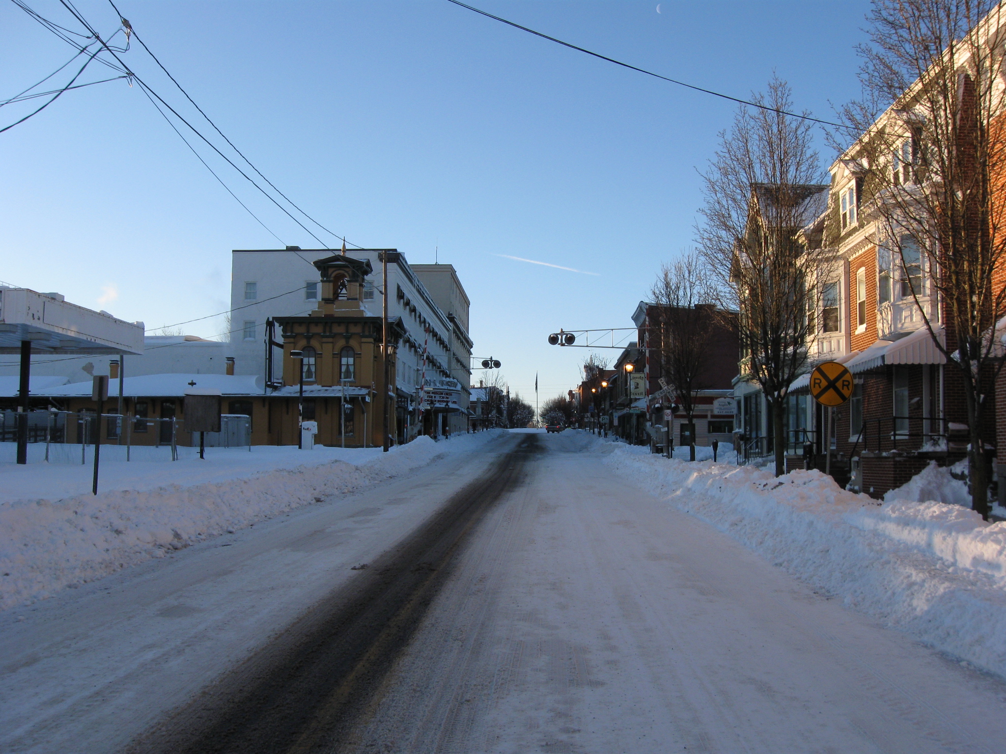
…and here’s where we’re going. This view was taken facing south at approximately 8:00 AM on Sunday, February 7, 2010.
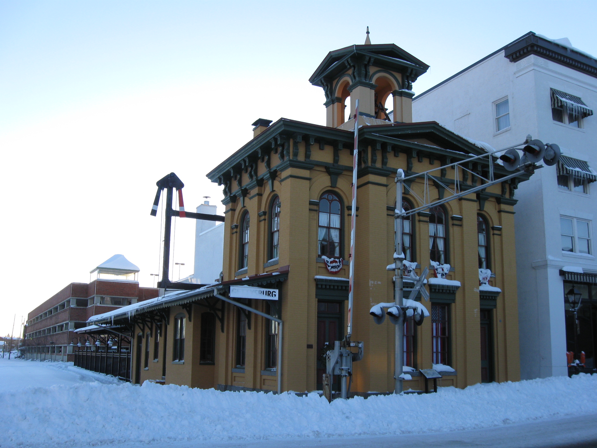
The Western Maryland Train Station/Lincoln Train station with its ugly mustard colored bricks was not open this morning, and is not open very frequently. This view was taken facing southeast at approximately 8:00 AM on Sunday, February 7, 2010.

Across the street, however, the Lincoln Diner is always open. This view was taken facing southwest at approximately 8:00 AM on Sunday, February 7, 2010.
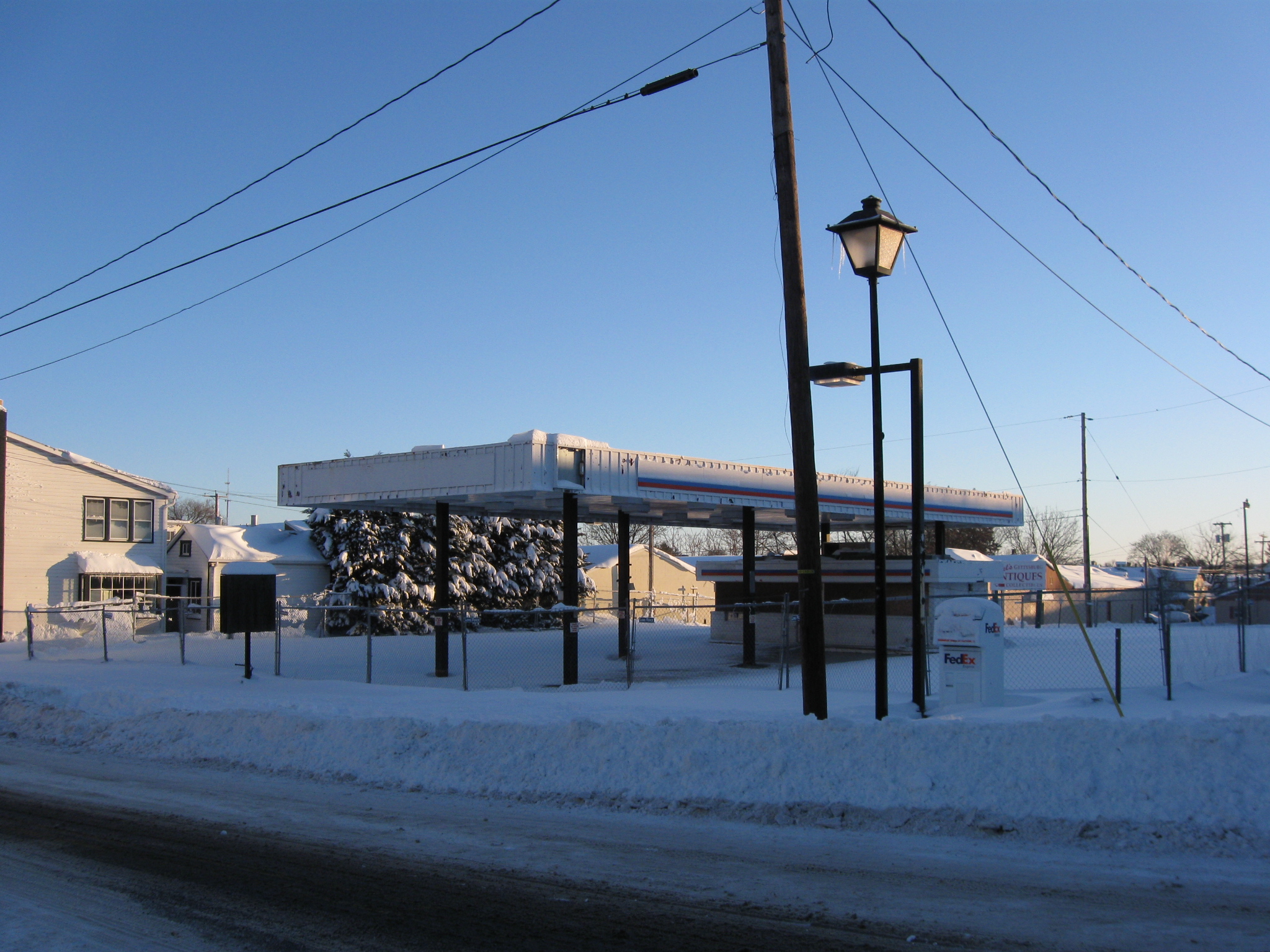
The future Gettysburg transportation center still presents a lack of progress. This view was taken facing northeast at approximately 8:00 AM on Sunday, February 7, 2010.
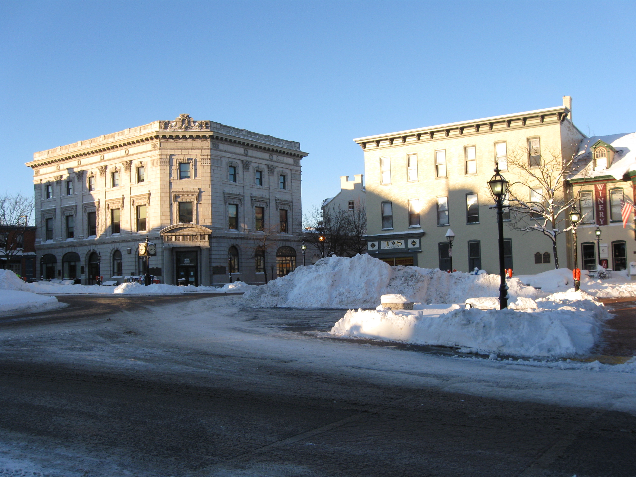
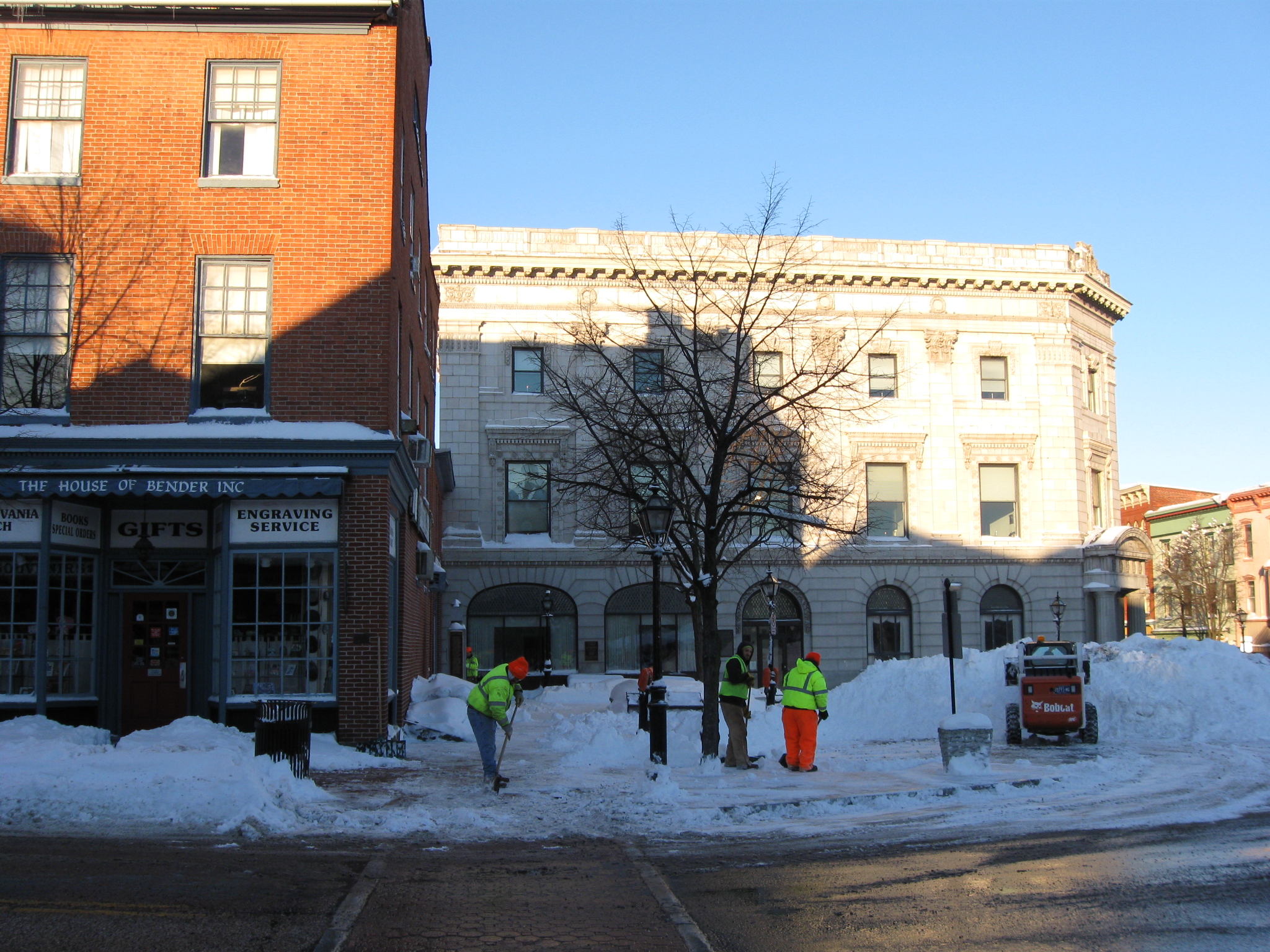
Entering the Town Square/Circle/Diamond, we start to see large piles of snow. The T&S Menswear building is on the right and the Adams County National Bank is on the left. This view was taken facing southwest at approximately 8:00 AM on Sunday, February 7, 2010.

The Gettysburg Borough removes the snow from the square first before proceeding down the other streets. This view was taken facing southeast at approximately 8:00 AM on Sunday, February 7, 2010.

The David Wills House. This view was taken facing southeast at approximately 8:00 AM on Sunday, February 7, 2010.

The square from the intersection of York Street. This view was taken facing west at approximately 8:00 AM on Sunday, February 7, 2010.

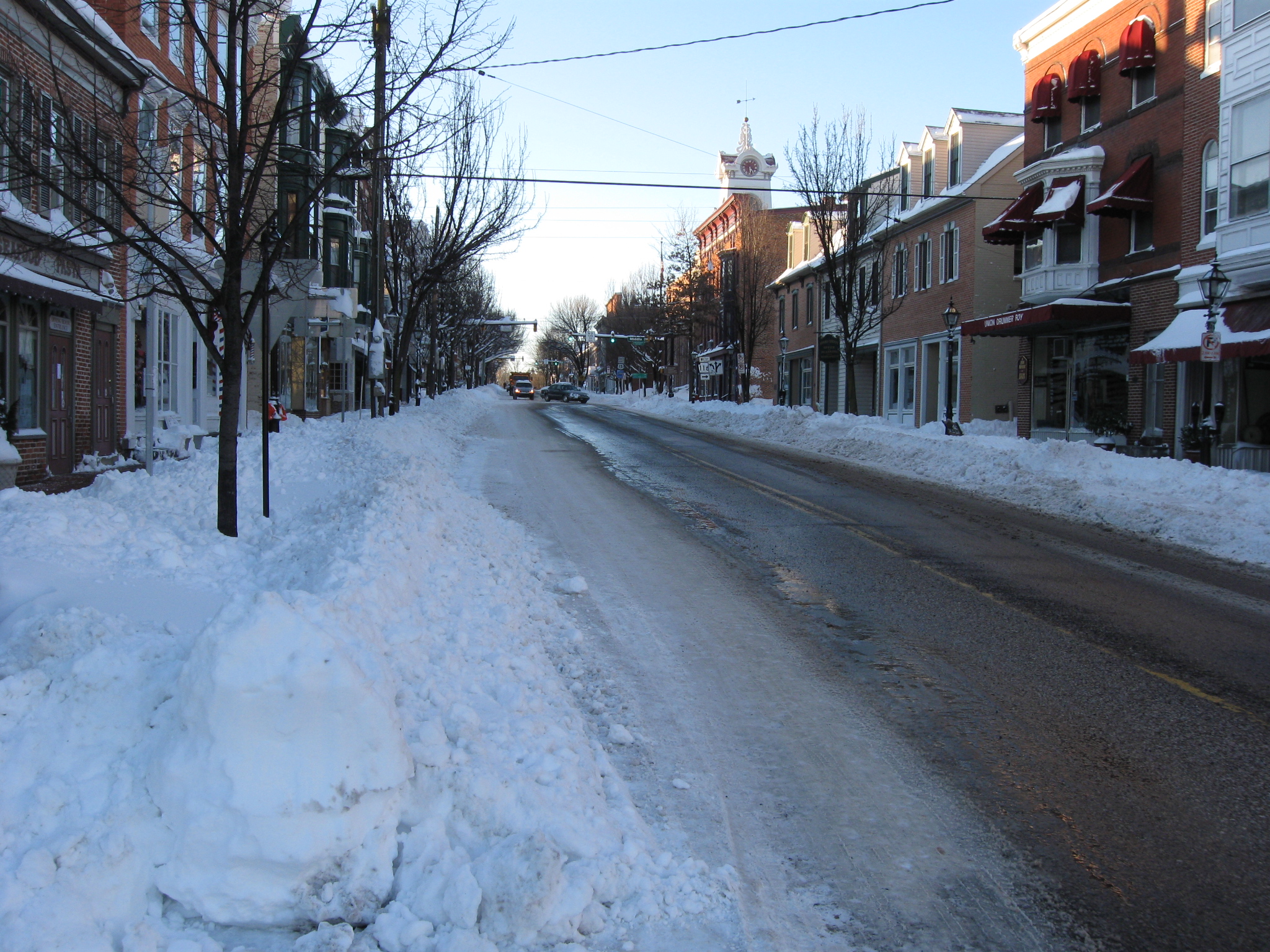
York Street. This view was taken facing east at approximately 8:00 AM on Sunday, February 7, 2010.

President Lincoln is informing Perry Como how deep the snow was the day before. This view was taken facing southwest at approximately 8:00 AM on Sunday, February 7, 2010.
We feel these gentlemen with the Borough of Gettysburg have performed very well with the snow removal. This view was taken facing west at approximately 8:00 AM on Sunday, February 7, 2010.
We’re going to head down Baltimore Street. This view was taken facing south at approximately 8:00 AM on Sunday, February 7, 2010.
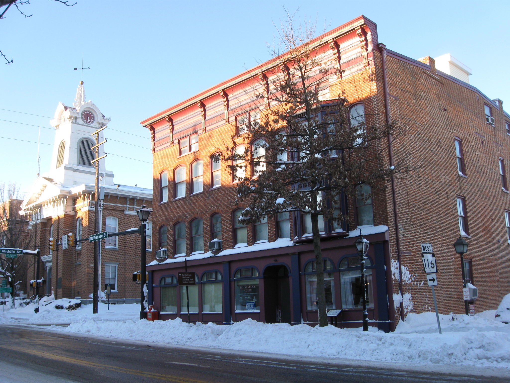
The Fahnestock Building is on the right, and the Adams County Courthouse is on the left. This view was taken facing southwest at approximately 8:00 AM on Sunday, February 7, 2010.
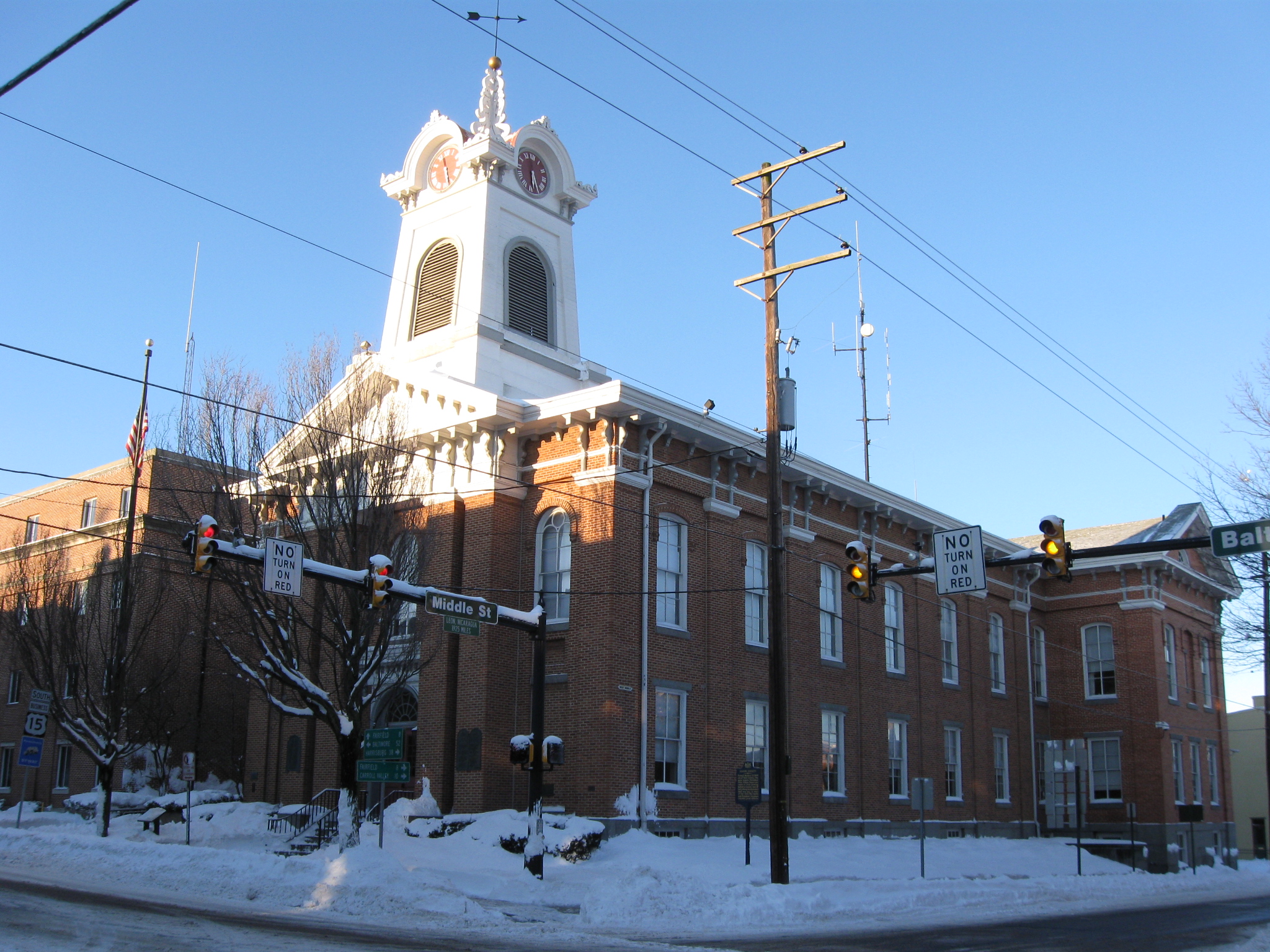
The Adams County Courthouse was constructed in 1859. This view was taken facing southwest at approximately 8:00 AM on Sunday, February 7, 2010.
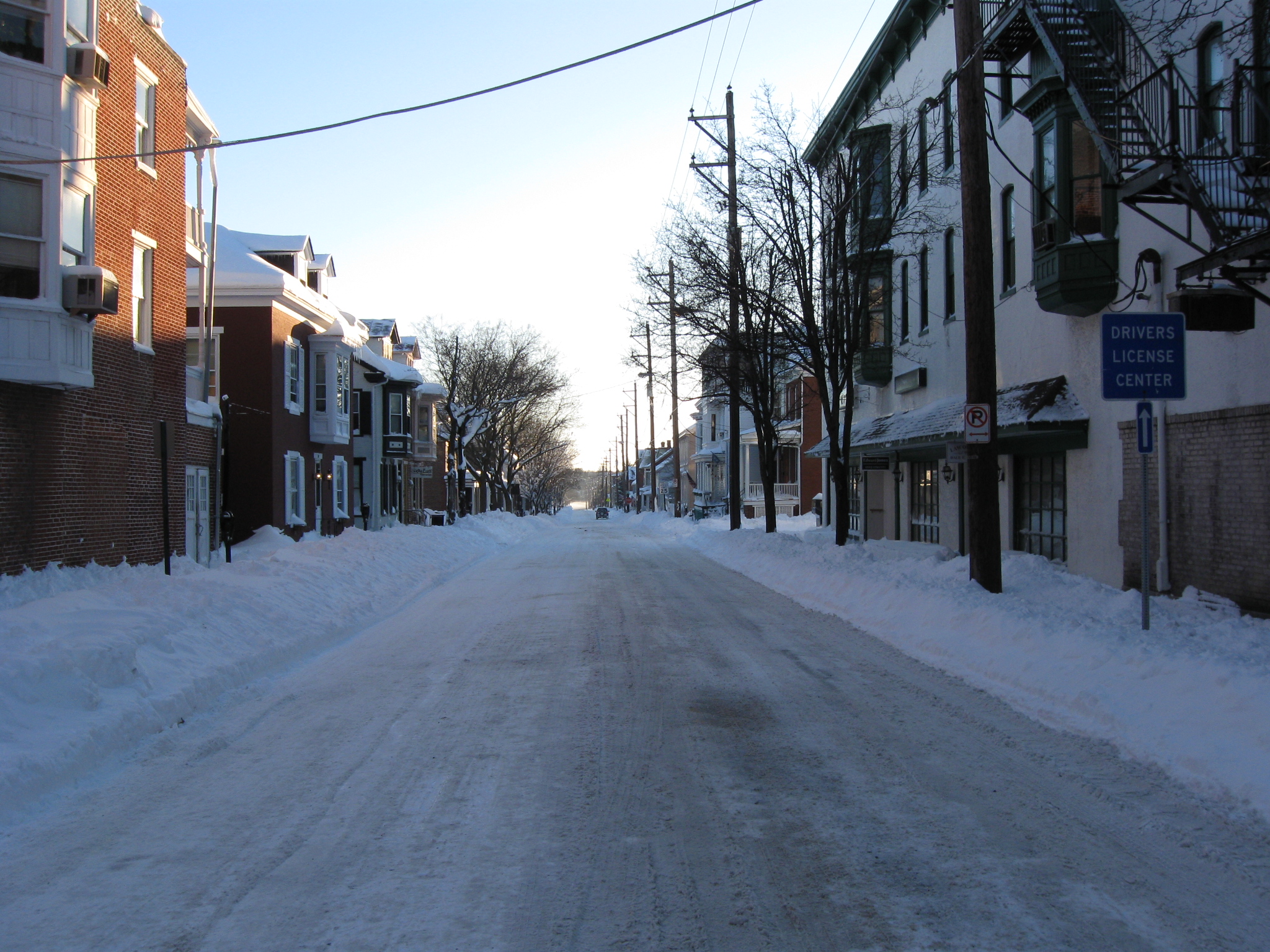
East Middle Street. This view was taken facing east at approximately 8:00 AM on Sunday, February 7, 2010.

From left to right, the new addition to the Courthouse, the Courthouse, and the Fahnestock Building. This view was taken facing northwest at approximately 8:00 AM on Sunday, February 7, 2010.
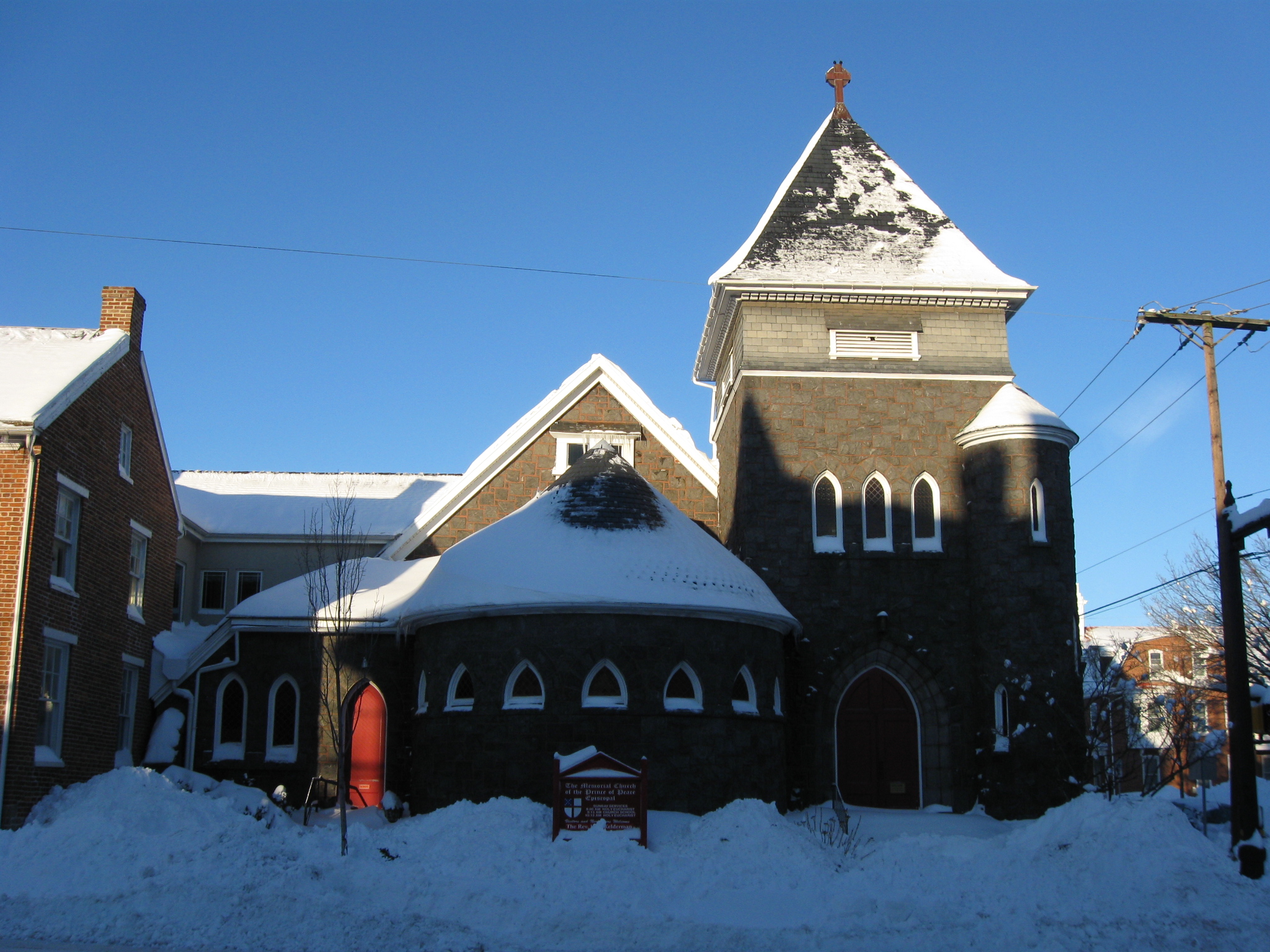
The Memorial Church of the Prince of Peace, Gettysburg’s Episcopal Church. This building was constructed for the 25th anniversary of the Battle of Gettysburg, in 1888. This view was taken facing west at approximately 8:00 AM on Sunday, February 7, 2010.

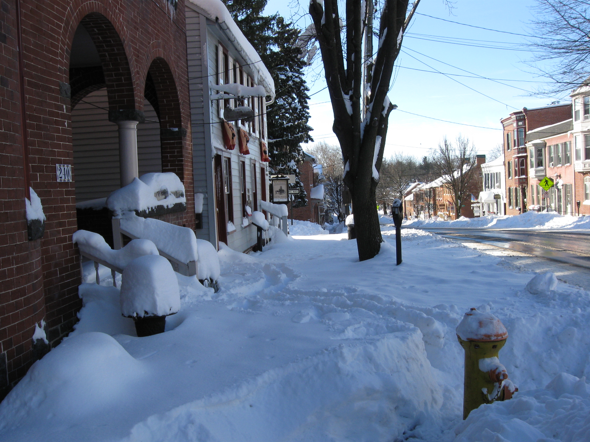
Some people haven’t had time to clear their sidewalks yet. This view was taken facing north at approximately 8:00 AM on Sunday, February 7, 2010.
Which forces us walkers from the sidewalk area… This view was taken facing south at approximately 8:00 AM on Sunday, February 7, 2010.

…out into Baltimore Street as we descend Baltimore Hill. This view was taken facing south at approximately 8:00 AM on Sunday, February 7, 2010.
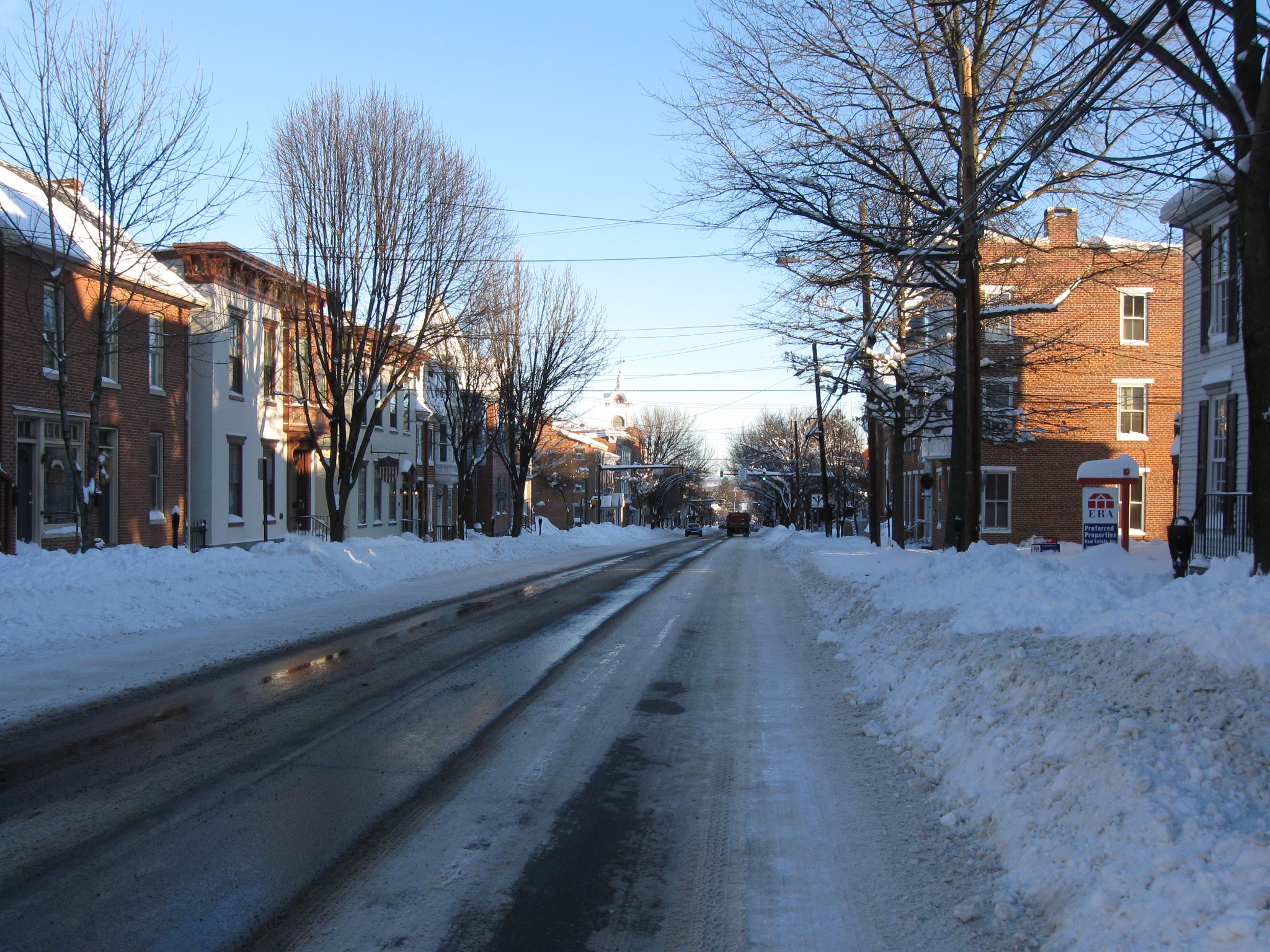
We’ll take another look back towards the center of town. This view was taken facing north at approximately 8:00 AM on Sunday, February 7, 2010.

The Jennie Wade Birthplace. This view was taken facing southeast at approximately 8:00 AM on Sunday, February 7, 2010.

The Tillie Pierce/James Pierce House. On the far left is the Shriver House. This view was taken facing southwest at approximately 8:00 AM on Sunday, February 7, 2010.

The George Shriver House. This view was taken facing southwest at approximately 8:00 AM on Sunday, February 7, 2010.
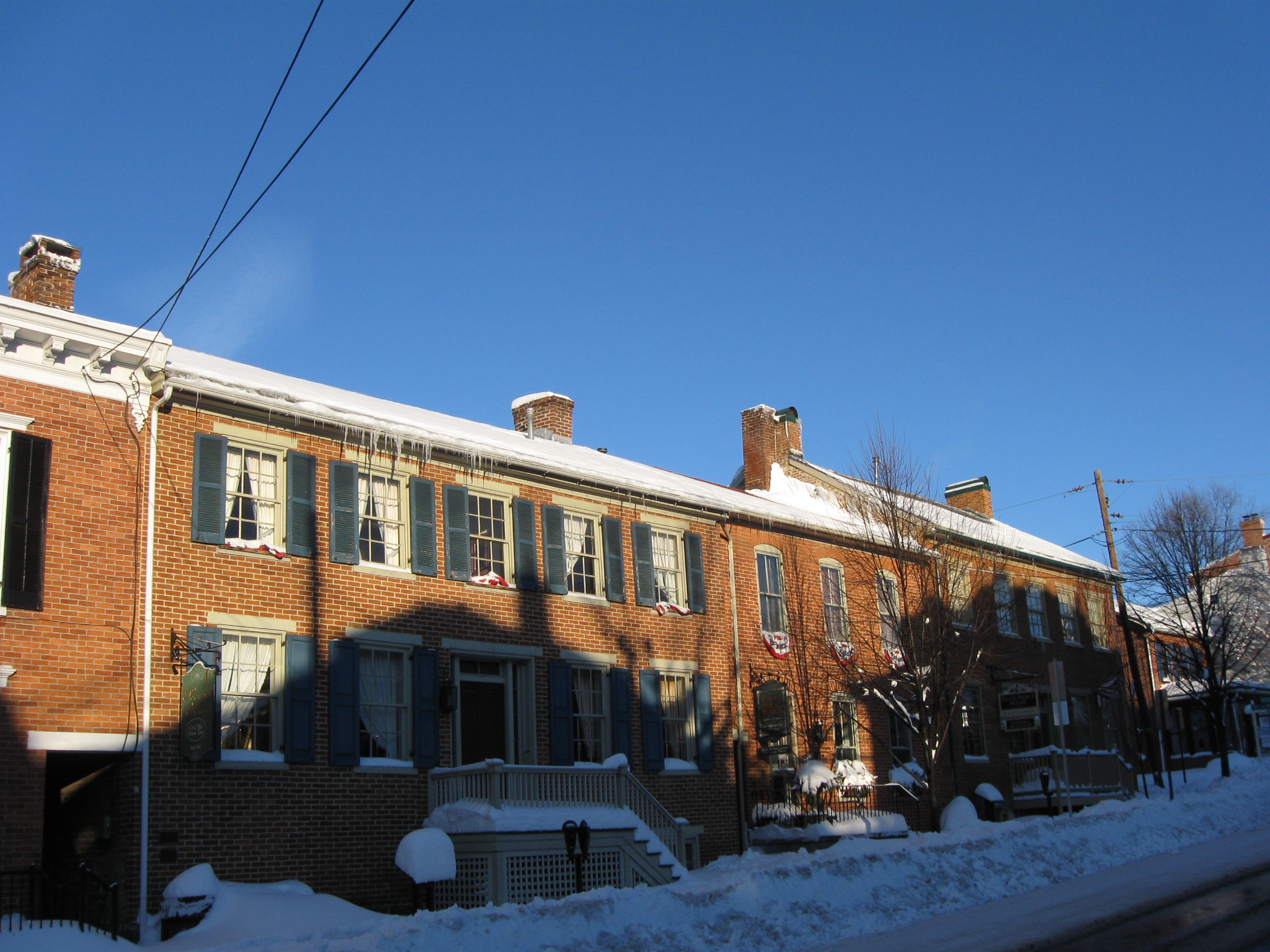
From left to right: The George Shriver House, a building that wasn’t built until the 1870s, and the Tillie Pierce/James Pierce House. This view was taken facing northwest at approximately 8:00 AM on Sunday, February 7, 2010.

The Henry Garlach House. This view was taken facing southwest at approximately 8:00 AM on Sunday, February 7, 2010.

The Harvey Sweney/Farnsworth House. This view was taken facing northwest at approximately 8:00 AM on Sunday, February 7, 2010.
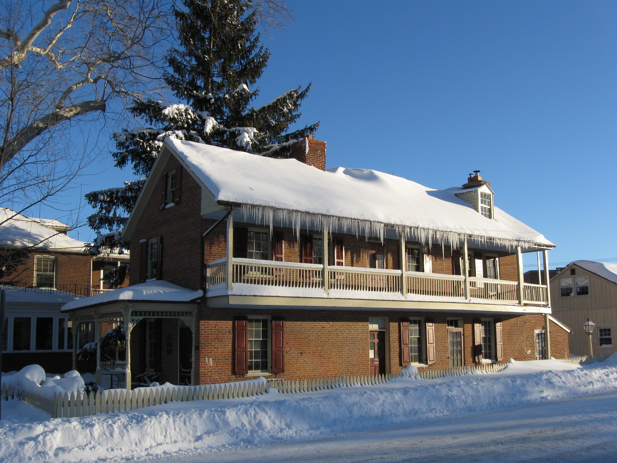
The John Winebrenner House. This view was taken facing northeast at approximately 8:00 AM on Sunday, February 7, 2010.

This house is also known as Twin Sycamores. This view was taken facing north at approximately 8:00 AM on Sunday, February 7, 2010.