Gettysburg’s February 10th Snow Storm: Doubleday Avenue
February 23, 2010
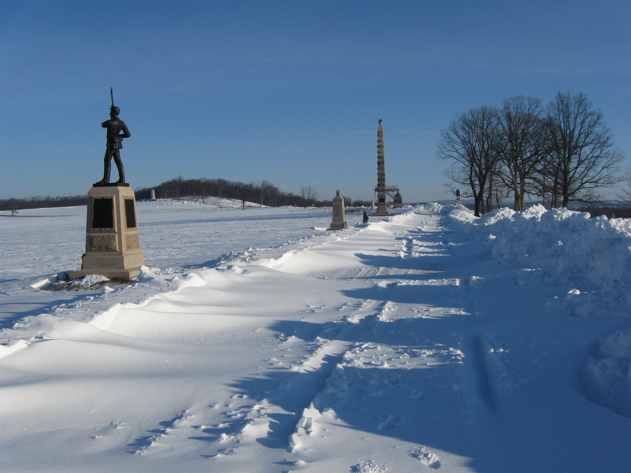
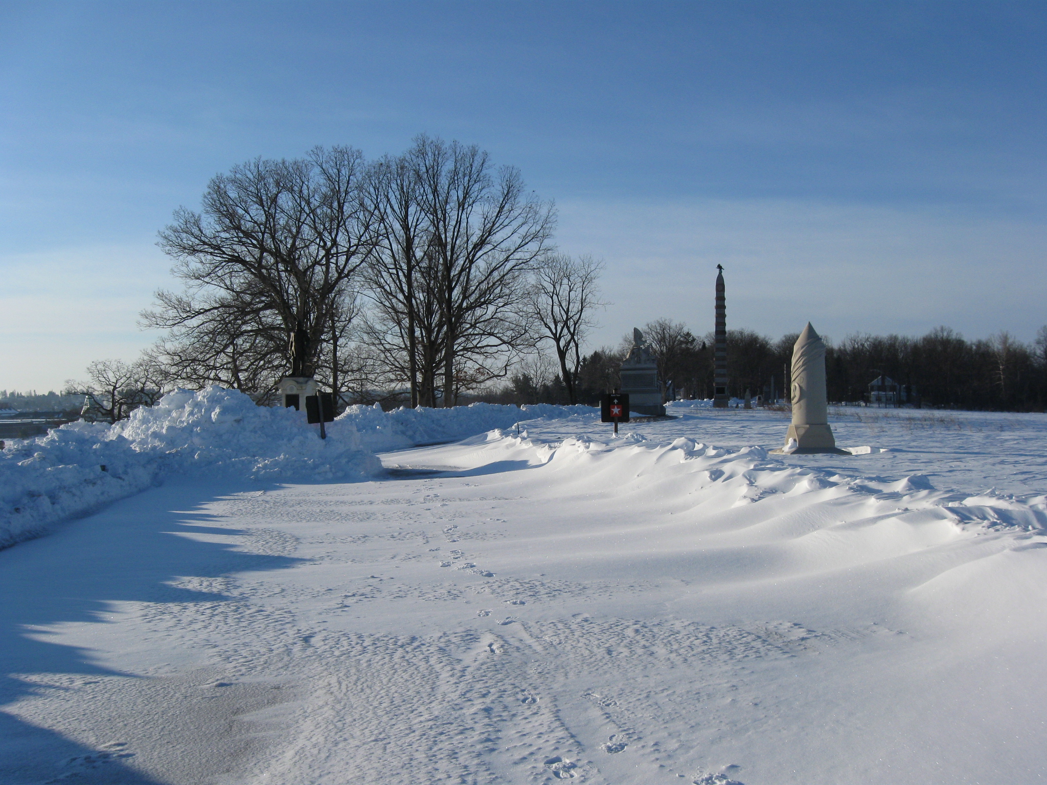
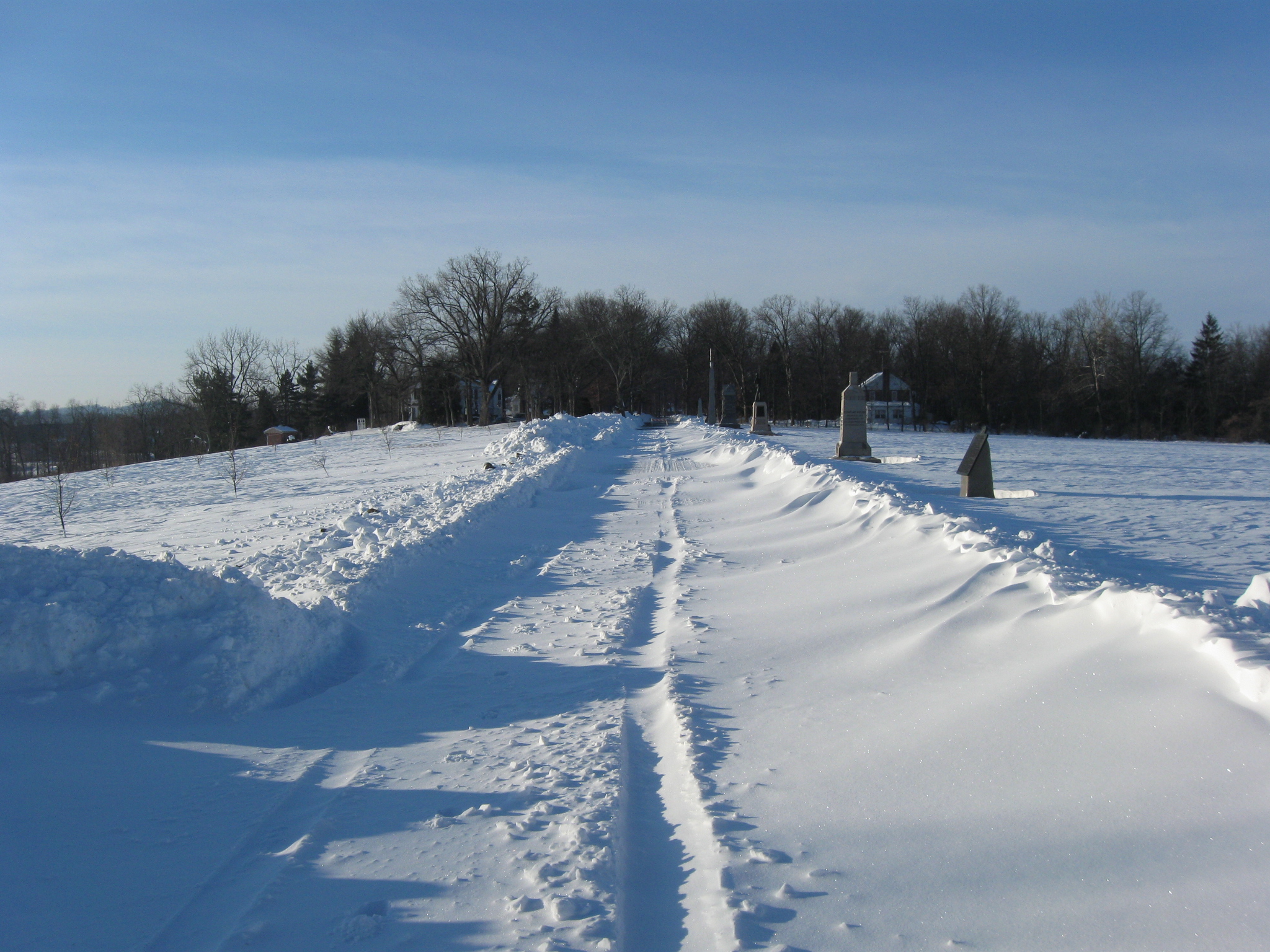
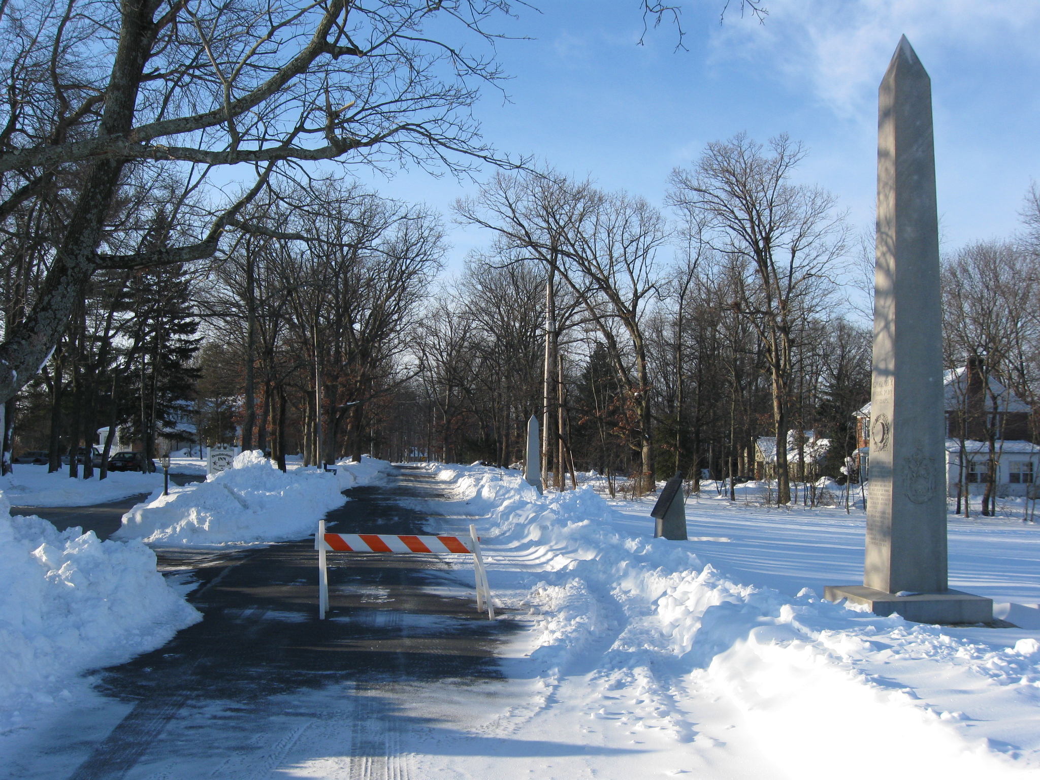
Doubleday Avenue is located on Oak Ridge, a northern extension of Seminary Ridge. We took a walk down it before it was reopened to traffic. The monuments shown from left to right are to: 11th Pennsylvania Infantry, Eternal Light Peace Memorial (in the left background), the 97th New York, the 83rd New York (tallest monument), and on the right (east) side of Doubleday Avenue the monument to Brigadier General John C. Robinson. This view was taken facing north at approximately 8:00 AM on Monday, February 15, 2010.
The Gettysburg area received another big snow fall beginning February 9th and ending February 10th. We have been taking pictures of the snow from various parts of the battlefield. In today’s post, we show you a snowy, wind swept Doubleday Avenue. By the way, most of the avenues are now open.
See the following related posts:
Gettysburg’s February 6th “Blizzard,” the Morning After: Part 1 on February 8, 2010.
Gettysburg’s February 6th “Blizzard,” the Morning After: Part 2 on February 9, 2010.
Gettysburg’s February 6th “Blizzard,” the Morning AFter: Part 3 on February 10, 2010.
Gettysburg’s February 10th Snow Storm: Cemetery Ridge Part 1 on February 15, 2010.
Gettysburg’s February 10th Snow Storm: Cemetery Ridge Part 2 on February 16, 2010.
Gettysburg’s February 10th Snow Storm: Cemetery Ridge Part 3 on February 17, 2010.
Gettysburg’s February 10th Snow Storm: Cemetery Ridge Part 4 on February 18, 2010.
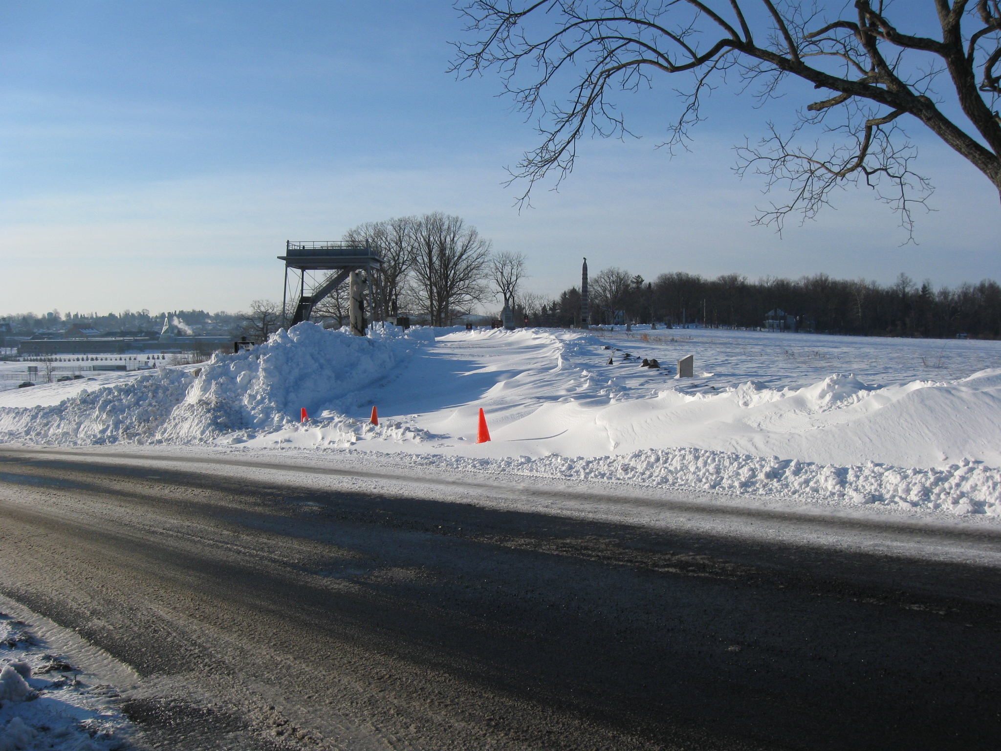
North Confederate Avenue was fairly clear coming off Oak Hill on North Confederate Avenue. The Peace Light is in the left background. This view was taken facing north at approximately 8:00 AM on Monday, February 15, 2010.
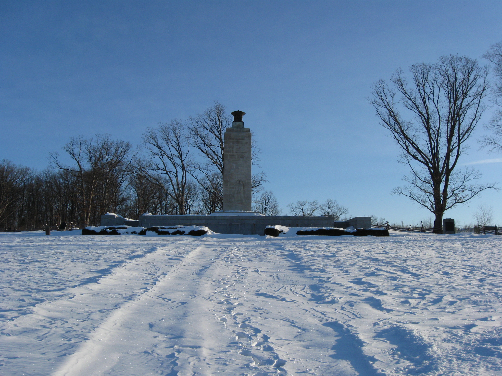
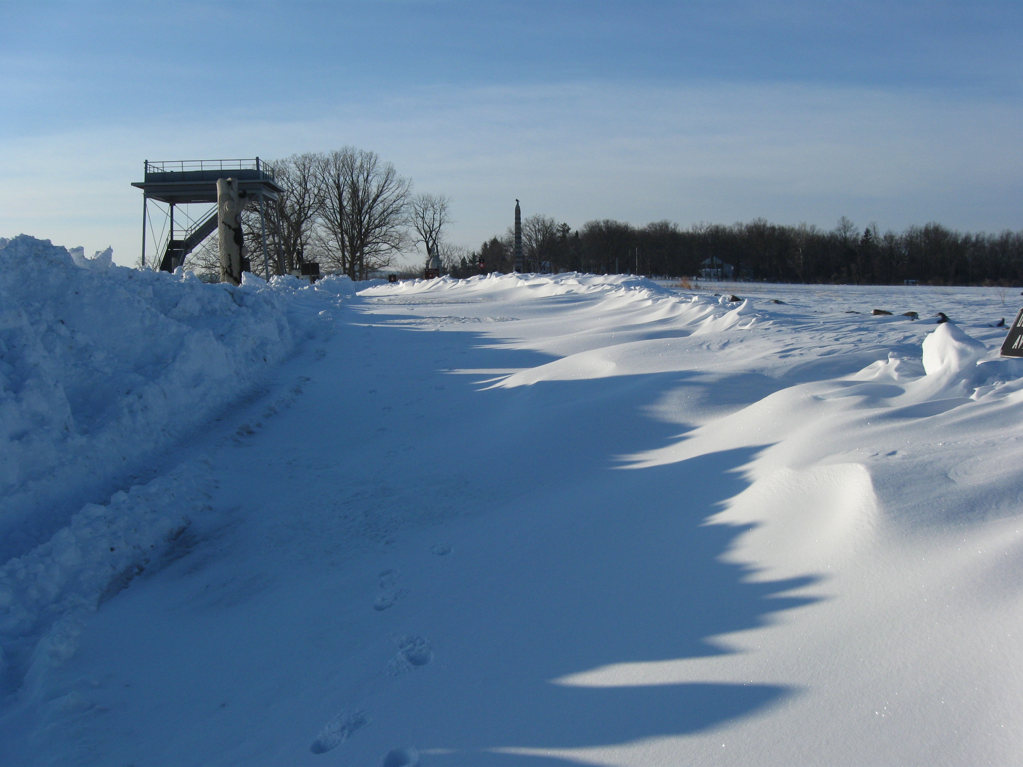
As we travel south, however, the wind has blown snow across the avenue. The Oak Ridge Tower is directly ahead of us. Sheads Woods are in the right background. The Borough of Gettysburg and Cemetery Hill are in the background to the left of the tower. Culp’s hill is in the background on the far left. This view was taken facing south at approximately 8:00 AM on Monday, February 15, 2010.
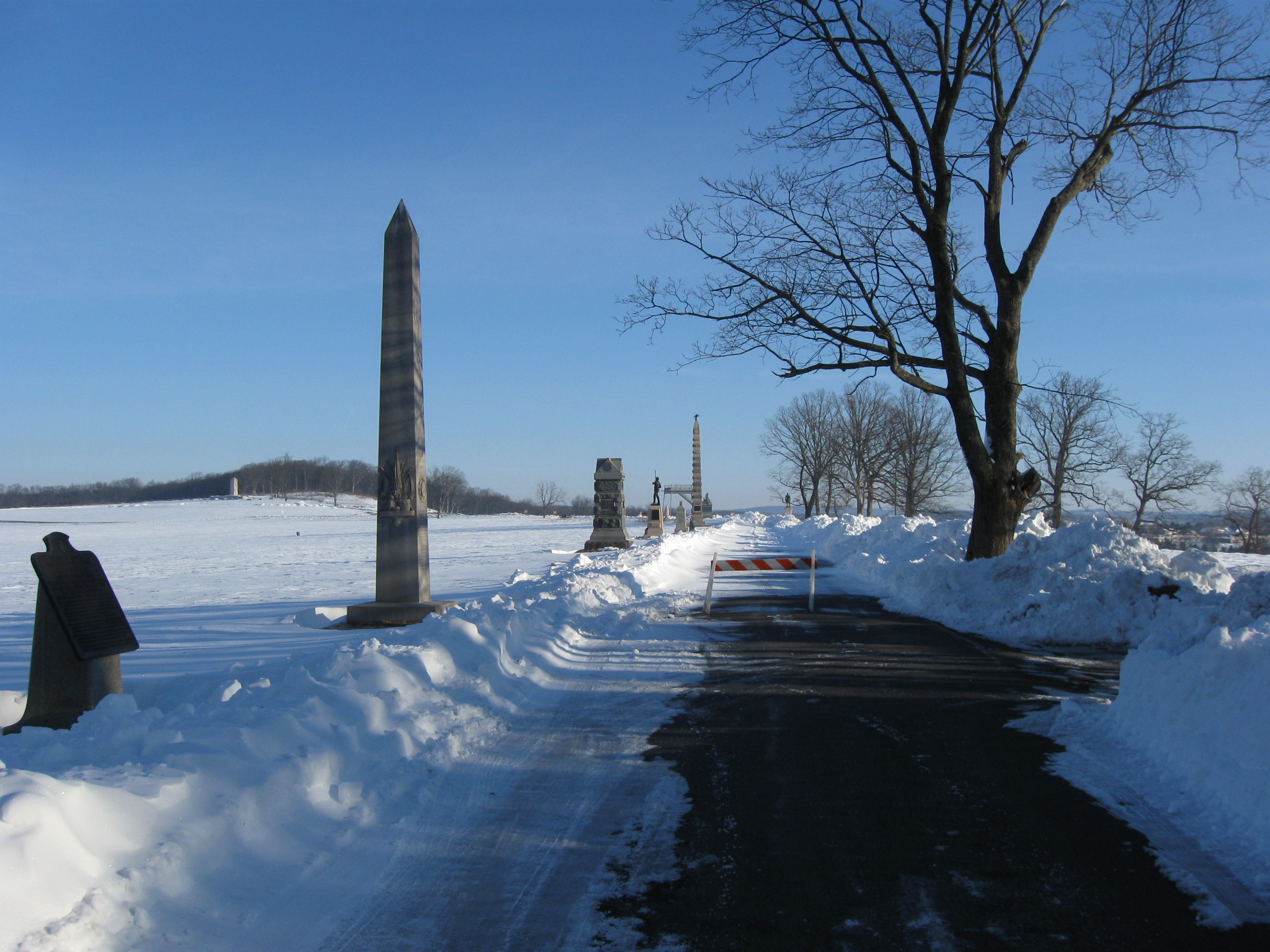
At the intersection with the Mummasburg Road (from left to right) the Park Service had closed Doubleday Avenue. This view was taken facing south at approximately 8:00 AM on Monday, February 15, 2010.
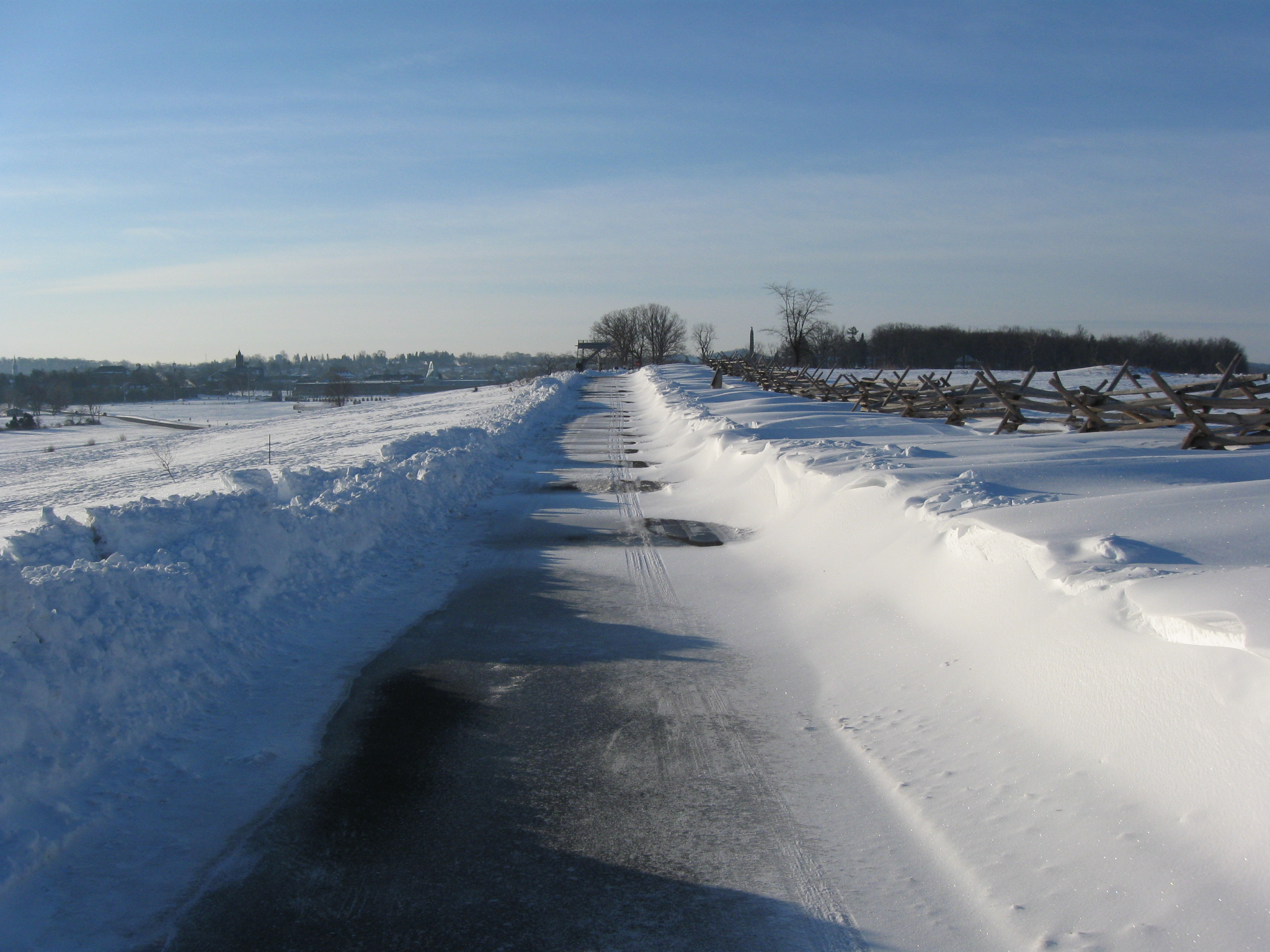
It was obvious that the Park Service had sent a plow through here at one point, but the wind blew enough snow that in some spots the plowing didn’t make much of a difference. This view was taken facing south at approximately 8:00 AM on Monday, February 15, 2010.
The parking spaces on the left (east) side of Doubleday Avenue had also once been cleared. This view was taken facing south at approximately 8:00 AM on Monday, February 15, 2010.
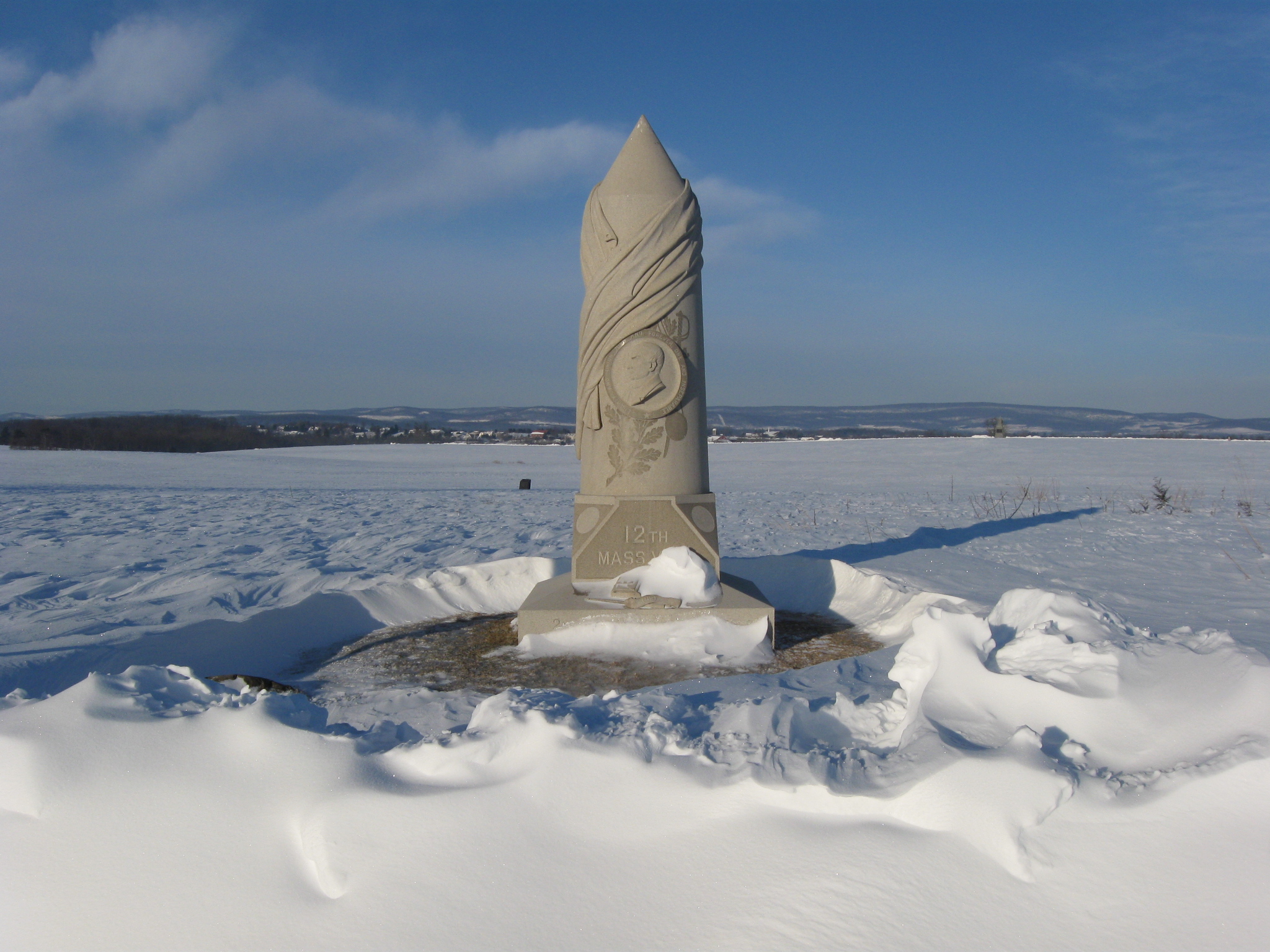
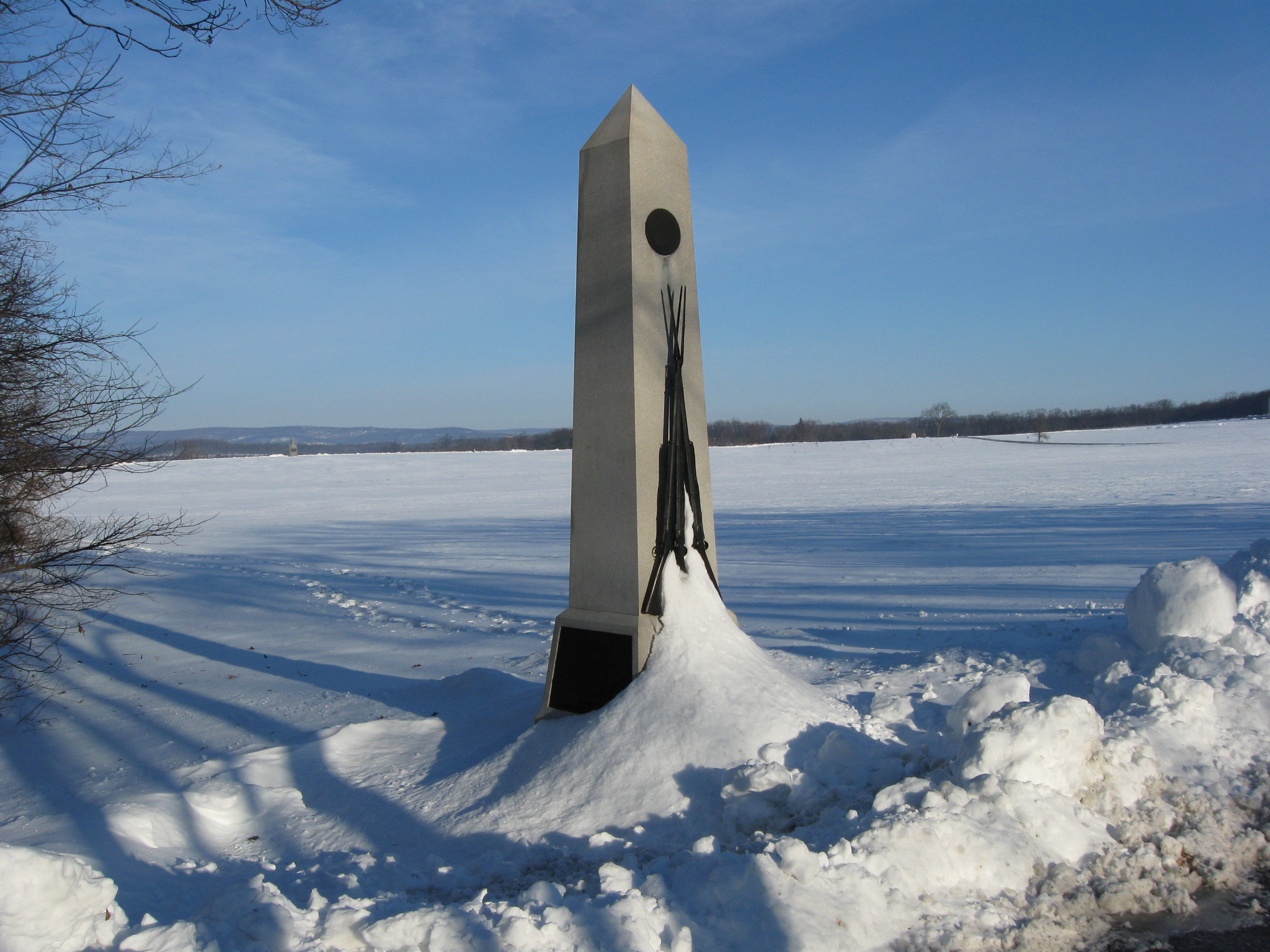
The monument to the 12th Massachusetts Infantry Regiment, the Webster Regiment. This view was taken facing west at approximately 8:00 AM on Monday, February 15, 2010.
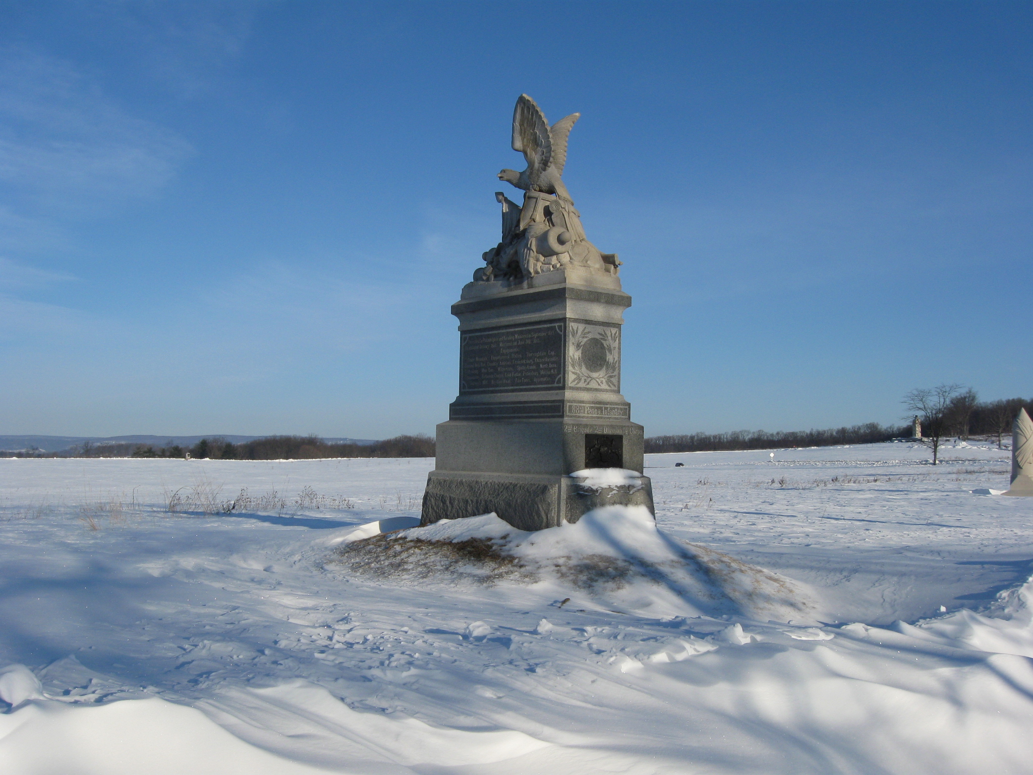
The monument to the 88th Pennsylvania Infantry. This view was taken facing northwest at approximately 8:00 AM on Monday, February 15, 2010.
We’re still moving south on Doubleday Avenue. This view was taken facing south at approximately 8:00 AM on Monday, February 15, 2010.
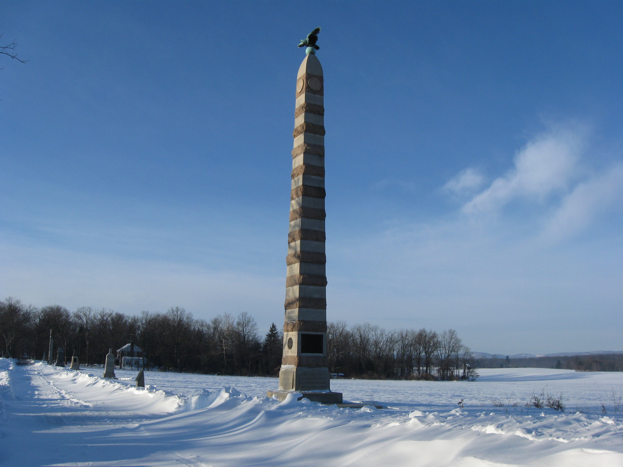
The monument to the 83rd New York Infantry Regiment. This view was taken facing south at approximately 8:00 AM on Monday, February 15, 2010.
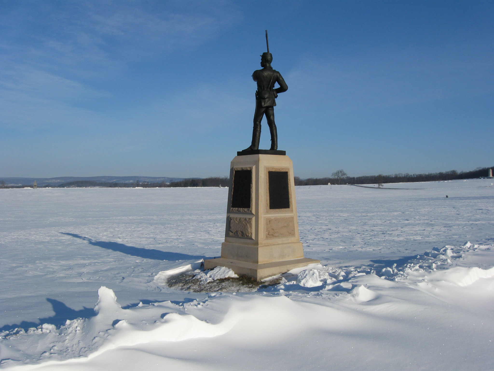
Another look back in the direction from which we came. The monument to Brigadier General John C. Robinson is on the right of the avenue. This view was taken facing north at approximately 8:00 AM on Monday, February 15, 2010.
As we went farther south, the snow drifts became more pronounced. This view was taken facing south at approximately 8:00 AM on Monday, February 15, 2010.
The monuments we are now approaching are from right to left: 97th New York, 11th Pennsylvania, 107th Pennsylvania, and the 16th Maine. This view was taken facing southwest at approximately 8:00 AM on Monday, February 15, 2010.
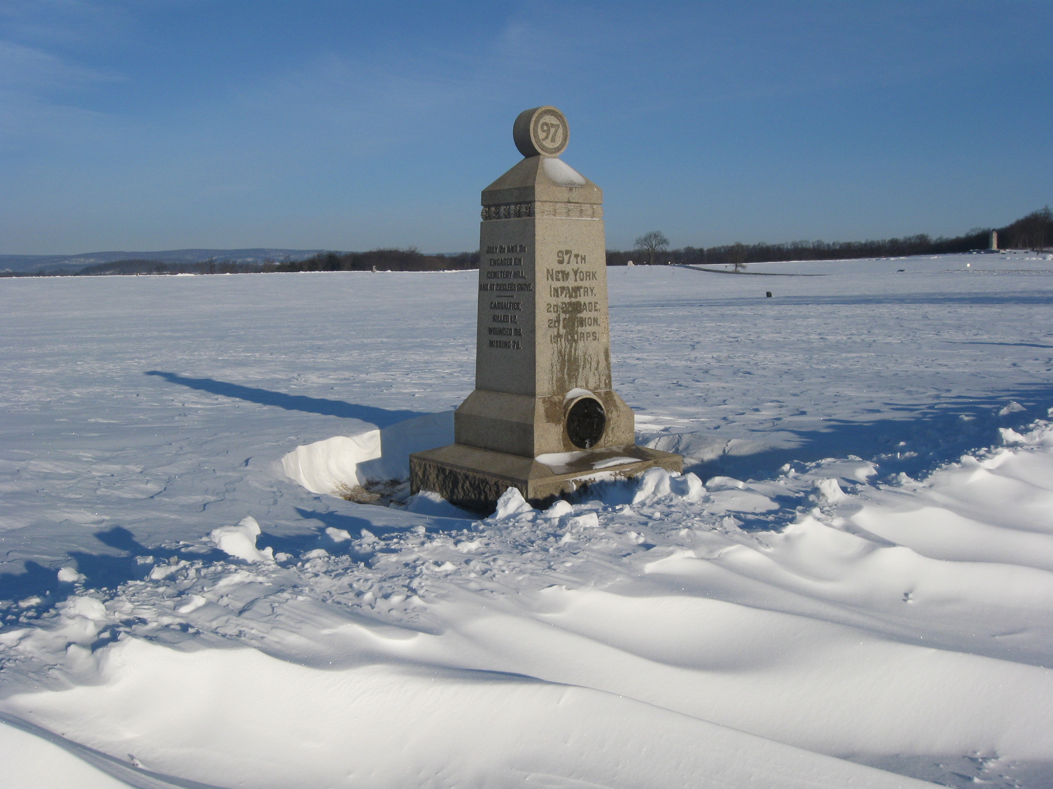
The monument to the 97th New York Infantry. This view was taken facing northwest at approximately 8:00 AM on Monday, February 15, 2010.
The monument to the 11th Pennsylvania. Sheads Woods are in the left background. This view was taken facing southwest at approximately 8:00 AM on Monday, February 15, 2010.
The monument to the 11th Pennsylvania. The Peace Light is in the right background. Barely visible in the left background on Forney Ridge is the monument to the 6th New York Cavalry Regiment. This view was taken facing northwest at approximately 8:00 AM on Monday, February 15, 2010.
This view was taken facing north at approximately 8:00 AM on Monday, February 15, 2010.
The monument to the 107th Pennsylvania Infantry Regiment. This view was taken facing southwest at approximately 8:00 AM on Monday, February 15, 2010.
We’re now reaching the area where the Park Service closed Doubleday Avenue… This view was taken facing south at approximately 8:00 AM on Monday, February 15, 2010.
…near the monument to the 16th Maine… This view was taken facing south at approximately 8:00 AM on Monday, February 15, 2010.
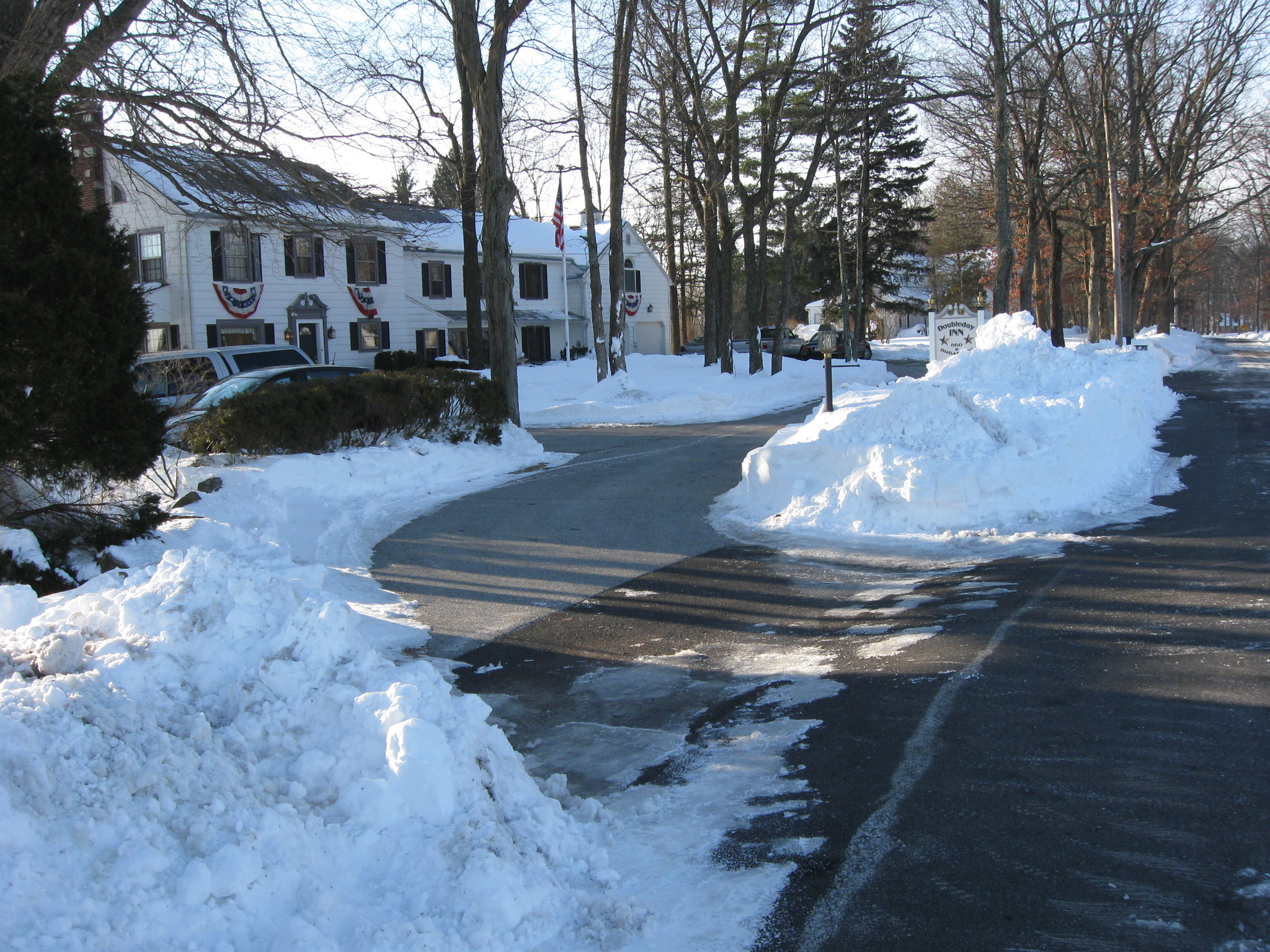
…and the driveway to the Doubleday Inn. This view was taken facing southeast at approximately 8:00 AM on Monday, February 15, 2010.
The monument to the 16th Maine Infantry Regiment. This view was taken facing northwest at approximately 8:00 AM on Monday, February 15, 2010.
This view was taken facing north at approximately 8:00 AM on Monday, February 15, 2010.
Last, but not least… This view was taken facing southwest at approximately 8:00 AM on Monday, February 15, 2010.
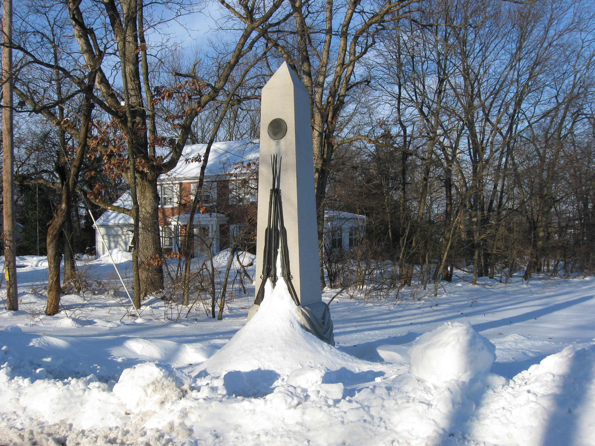
The monument to the 94th New York Infantry Regiment. This view was taken facing northwest at approximately 8:00 AM on Monday, February 15, 2010.
This view was taken facing north at approximately 8:00 AM on Monday, February 15, 2010.