Gettysburg’s February 10th Snow Storm: Cemetery Ridge Part 1
February 15, 2010
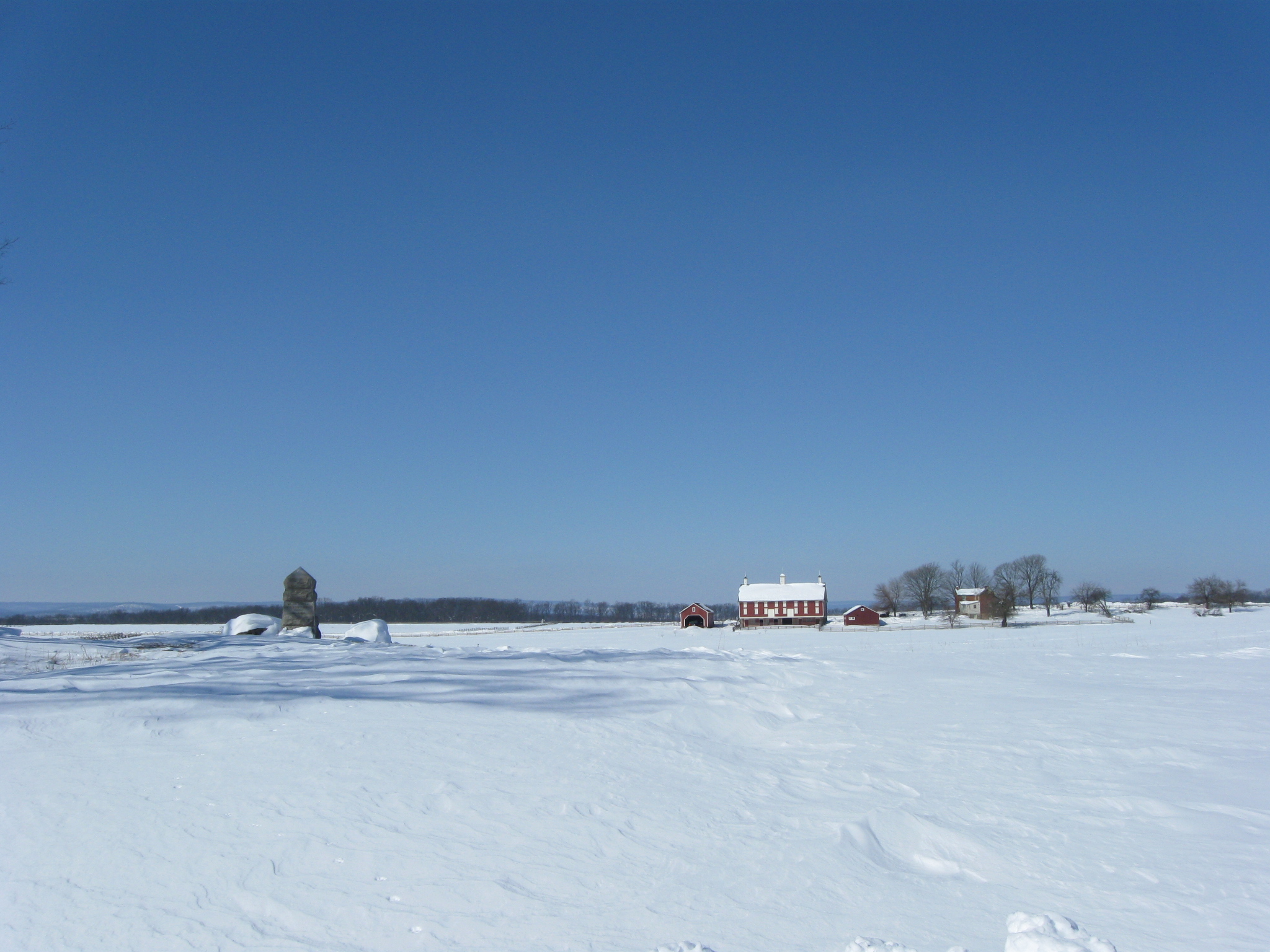
We are standing on Cemetery Ridge looking across the Pickett’s Charge fields towards the Codori Farm. On the left is the marker showing where Major General Winfield Scott Hancock was wounded on July 3, 1861. This view was taken facing west at approximately 12:00 PM on Friday, February 12, 2010.
The Gettysburg area received another big snow fall beginning Tuesday afternoon (February 9th) and ending the evening of Wednesday February 10th. We briefly made it out on Thursday, and took a Bushman Farm panorama, which we will show you at a future date, but the roads were not yet cleared very well, and there wasn’t a place to park for some better photographs. On Friday we got out again to see the National Park Service’s progress on clearing the roads. They had began clearing areas around leading to and around “Park Housing,” but some of the main avenues were not yet ploughed, including the “High Water Mark” area of Hancock Avenue. We were able to park there, and took a walk around the Pennsylvania Monument, to the High Water Mark area, by the Bryan Farm, and down the Taneytown Road.
In today’s post, we’ll see some photographs of Pleasonton Avenue, and scenes around the Pennsylvania Monument area.
See the following related posts:
Gettysburg’s February 6th “Blizzard,” the Morning After: Part 1 on February 8, 2010.
Gettysburg’s February 6th “Blizzard,” the Morning After: Part 2 on February 9, 2010.
Gettysburg’s February 6th “Blizzard,” the Morning AFter: Part 3 on February 10, 2010.
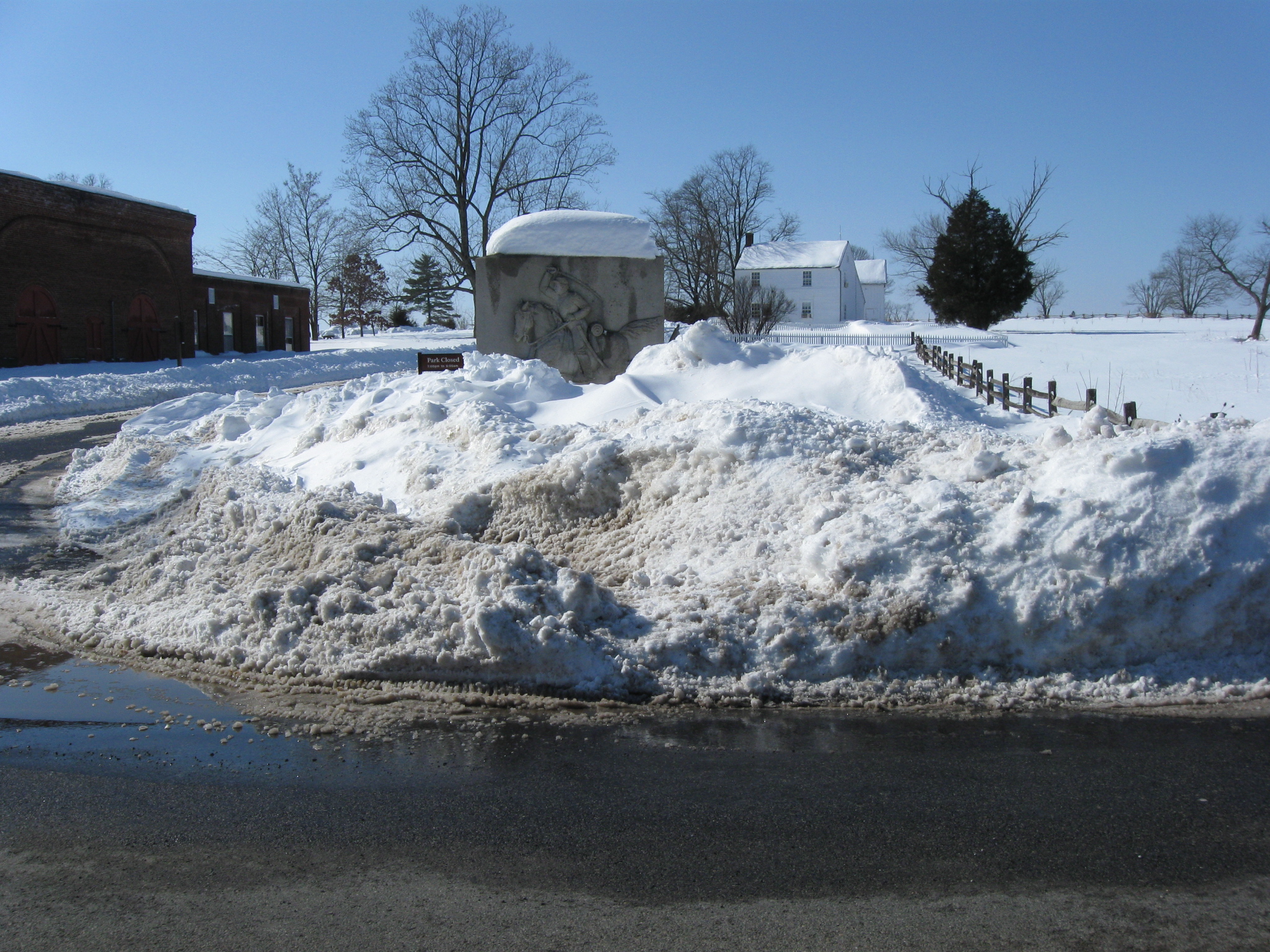
Because there wasn’t a good place to park on the battlefield Thursday, we decided the best place to park today would be somewhere near Pleasonton Avenue. Buried in the snow is the monument to the Sixth Ohio Cavalry at the junction of the Taneytown Road (left to right) and Pleasonton Avenue on the left. This view was taken facing west at approximately 2:00 PM on Friday, February 12, 2010.
Of course we thought this would be a good place to begin because the National Park Service Mainenance area is located here, and our thought was that they should have to begin plowing the roads from this area. This view was taken facing southeast at approximately 2:00 PM on Friday, February 12, 2010.
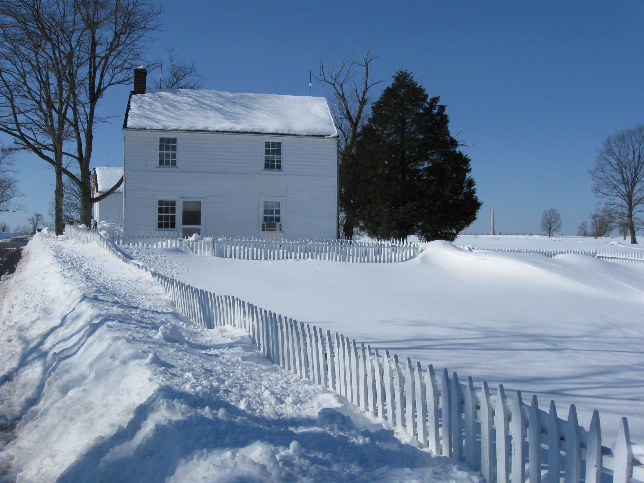
We’ll start up Pleasonton Avenue, shown on the left, towards Cemetery Ridge. The Jacob Hummelbaugh House is on the right (north) side of Pleasonton Avenue. This view was taken facing west at approximately 2:00 PM on Friday, February 12, 2010.
The Hummelbaugh Farm was a hospital for the Army of the Potomac’s Second Corps during the Battle of Gettysburg. Confederate Brigadier General William Barksdale died on this side of the Hummelbaugh House on July 3, 1863, and was temporarily buried in the back yard (foreground). This view was taken facing west at approximately 2:00 PM on Friday, February 12, 2010.
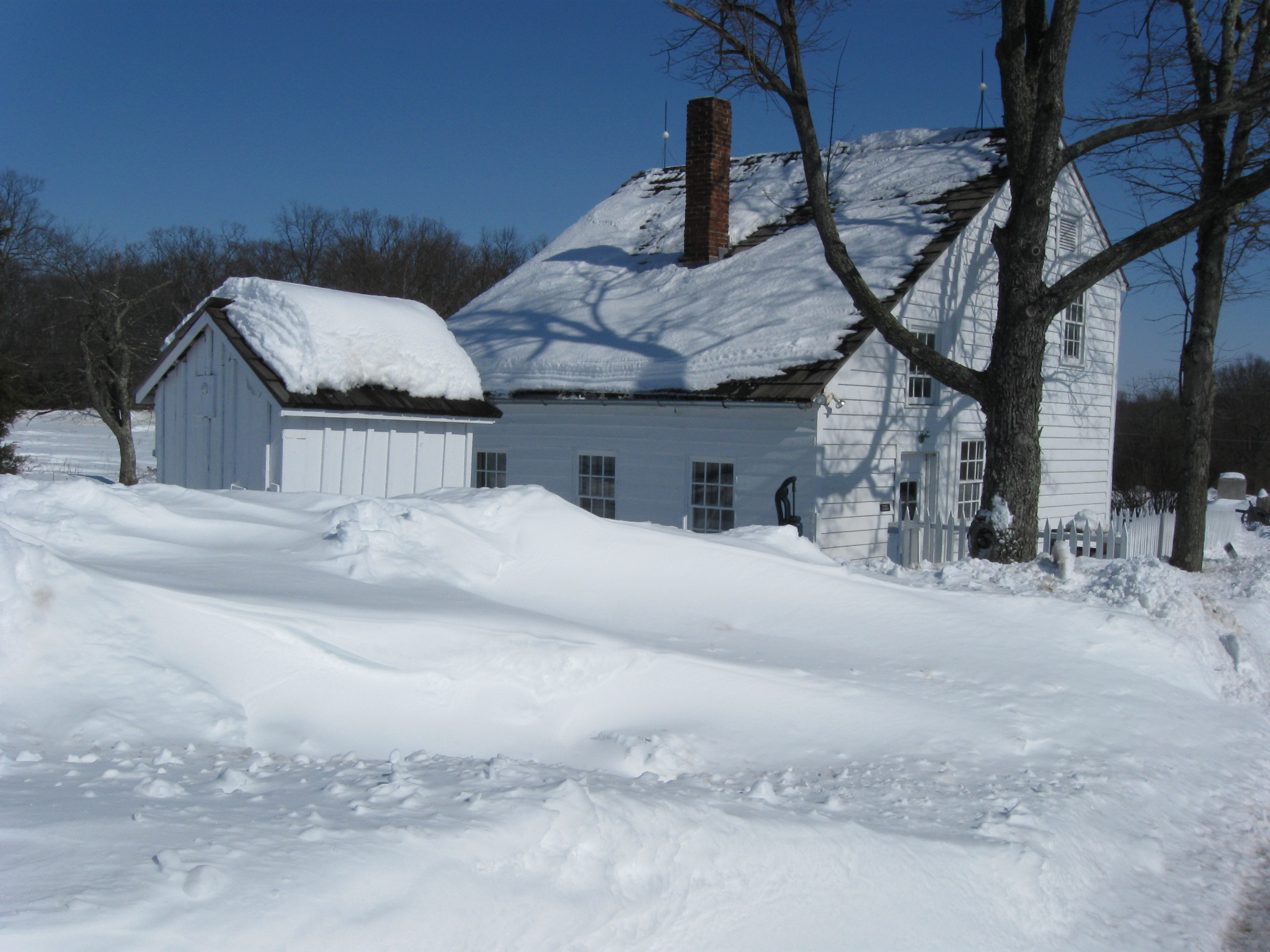
This view was taken facing northeast at approximately 2:00 PM on Friday, February 12, 2010.
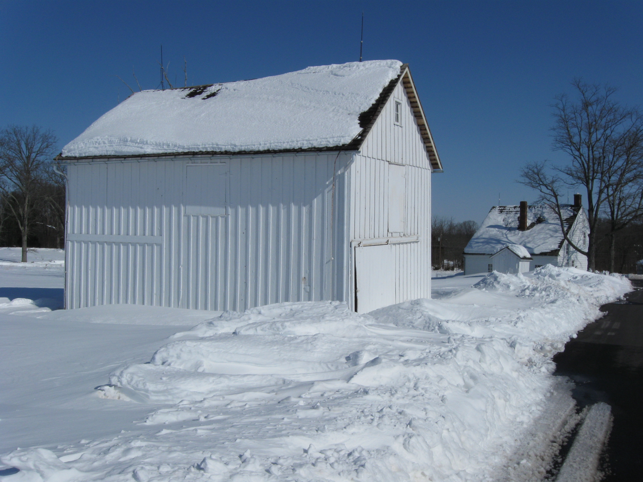
The Hummelbaugh Barn and House. This view was taken facing northeast at approximately 2:00 PM on Friday, February 12, 2010.
We were encouraged by the way that Pleasonton Avenue was plowed that we would have a fairly uneventful walk. This view was taken facing west at approximately 2:00 PM on Friday, February 12, 2010.
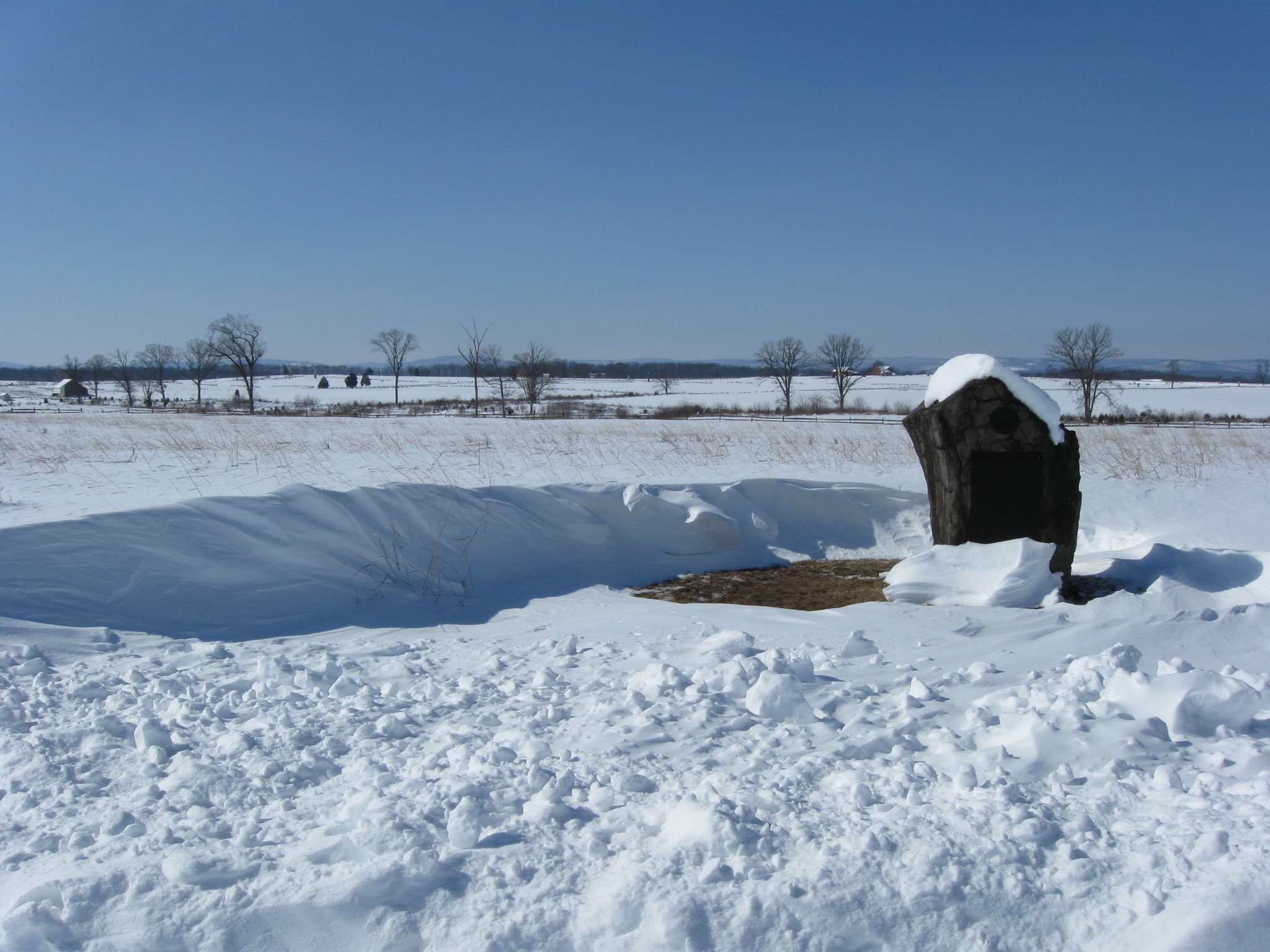
The monument to the 15th and 50th New York Engineers shows how the strong winds following this snow storm impacted the depth of the snow. From this angle it appears that snow is a couple of feet deep, completely surrounding the monument. This view was taken facing east at approximately 2:00 PM on Friday, February 12, 2010.
But a closer view shows how the wind blew the snow from directly around the monument, and the grass was showing. This happened at more than a few places on our walk today. Sometimes one could see the grass. Frequently, we were attempting to wade through waist deep snow. This view was taken facing north at approximately 2:00 PM on Friday, February 12, 2010.
A stretch of the new fencing along Pleasonton Avenue. The old Cyclorama building is in the background. This view was taken facing north at approximately 12:00 PM on Friday, February 12, 2010.
Here the wind caused an interesting snow drift behind the monument to the 8th Pennsylvania Cavalry. This view was taken facing west at approximately 2:00 PM on Friday, February 12, 2010.
The 8th Pennsylvania Cavalry Monument is closest to the camera. To its left is the monument to the 4th New York Cavalry Regiment. To its left is the monument to the 2nd New York Cavalry. This view was taken facing north at approximately 2:00 PM on Friday, February 12, 2010.
We have rarely taken a photograph of the 8th Pennsylvania Cavalry Monument because of the tree stump sticking into the horse’s stomach to stablize it. This view was taken facing northeast at approximately 2:00 PM on Friday, February 12, 2010.
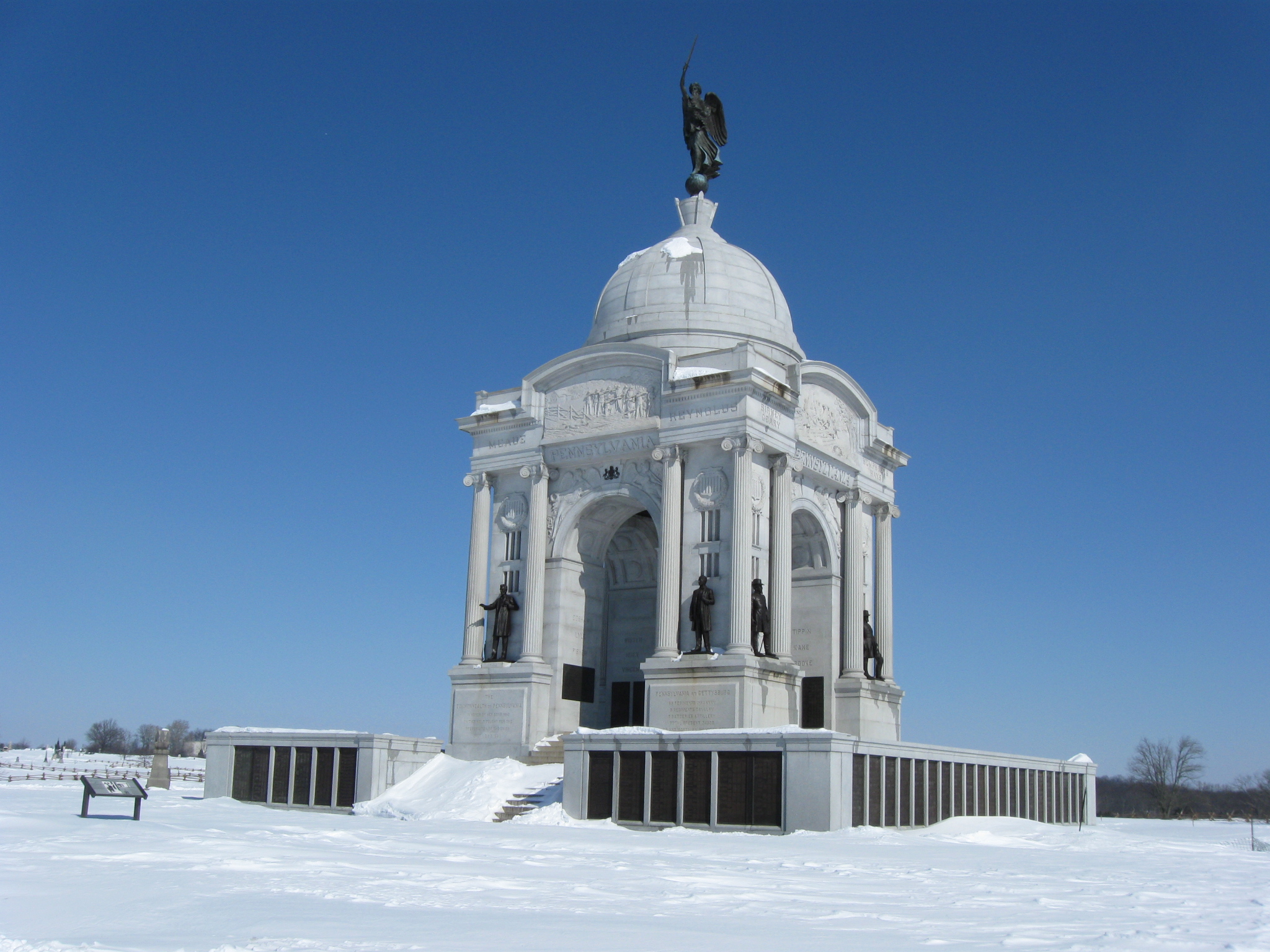
We managed to find a parking spot behind the Pennsylvania State Monument. This view was taken facing northeast at approximately 12:00 PM on Friday, February 12, 2010.
Again, the wind around the monuments and markers attracted our attention. We are on a plowed section of Hancock Avenue. The Codori Farm is hidden by the trees in the right background. This view was taken facing northwest at approximately 12:00 PM on Friday, February 12, 2010.
This is one of three Gettysburg monuments to the 90th Pennsylvania Infantry Regiment. The Trostle Farm is in the left background. This view was taken facing southwest at approximately 12:00 PM on Friday, February 12, 2010.
The First Minnesota Monument. The Codori Farm is to the left of the monument. This view was taken facing northwest at approximately 12:00 PM on Friday, February 12, 2010.
We began walking down Hancock toward the High Water Mark area. This view was taken facing northwest at approximately 12:00 PM on Friday, February 12, 2010.
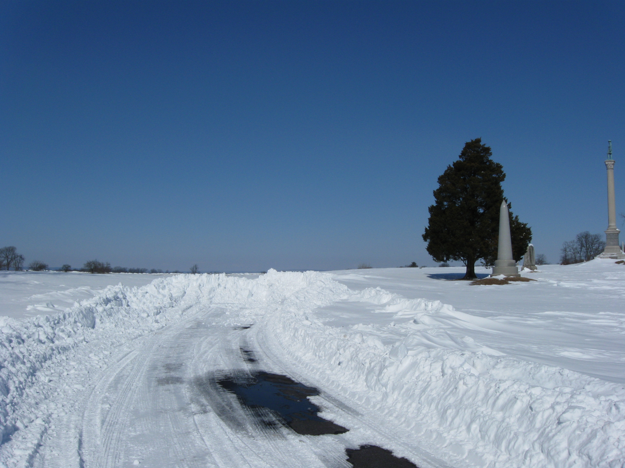
The Vermont State Monument is the tallest monument in the center of the picture. The tallest monument in the right background is the U.S. Regulars’ Monument. This view was taken facing north at approximately 12:00 PM on Friday, February 12, 2010.
From this point on, our walk was going to be much more difficult. The National Park Service decided not to continue its plowing of Hancock Avenue from this location to the High Water Mark area. The Vermont State Monument is the tallest monument in the right background. This view was taken facing north at approximately 12:00 PM on Friday, February 12, 2010.