Culp’s Hill Witness Tree: Split by an Artillery Shell?
November 30, 2008
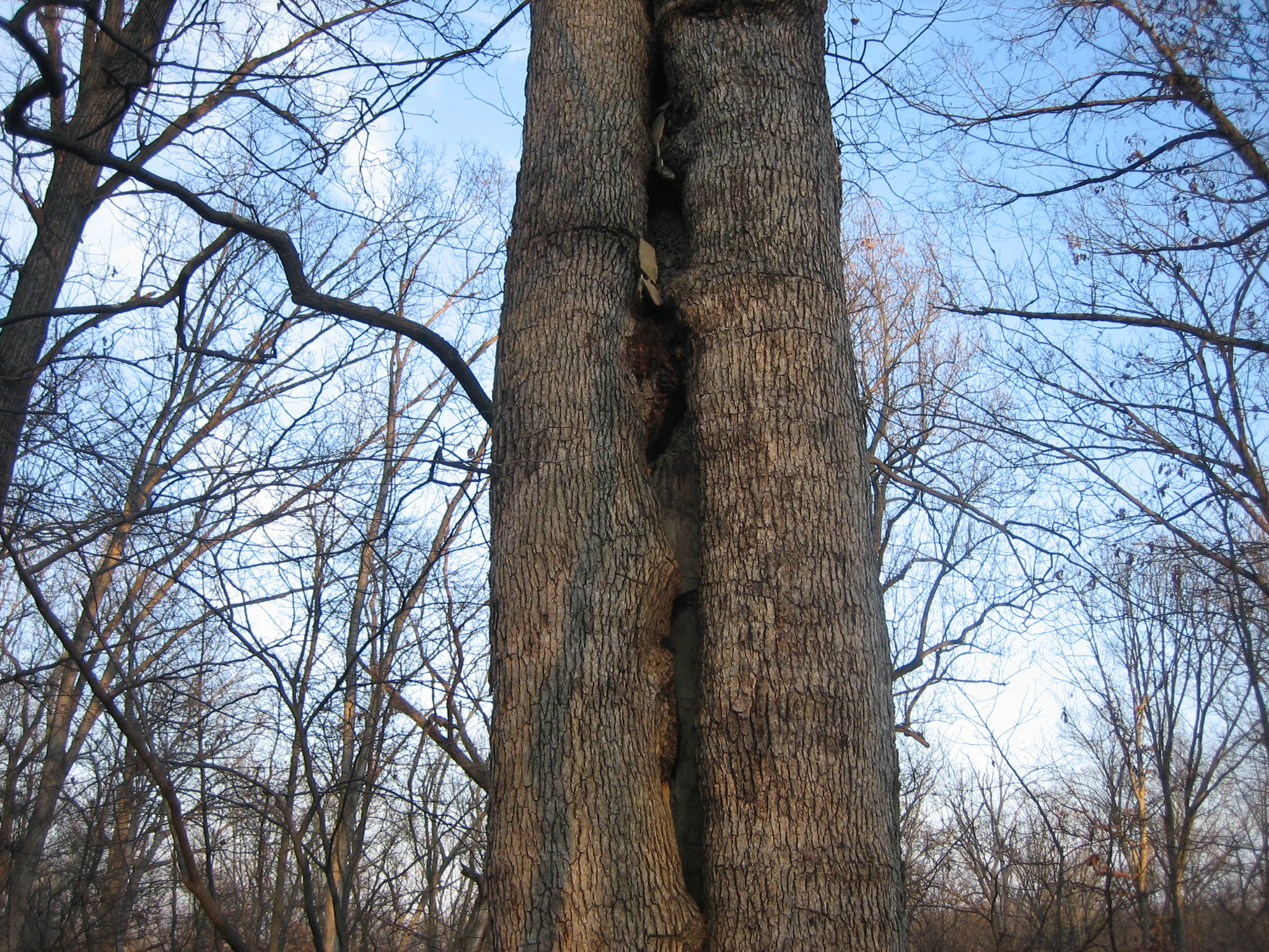
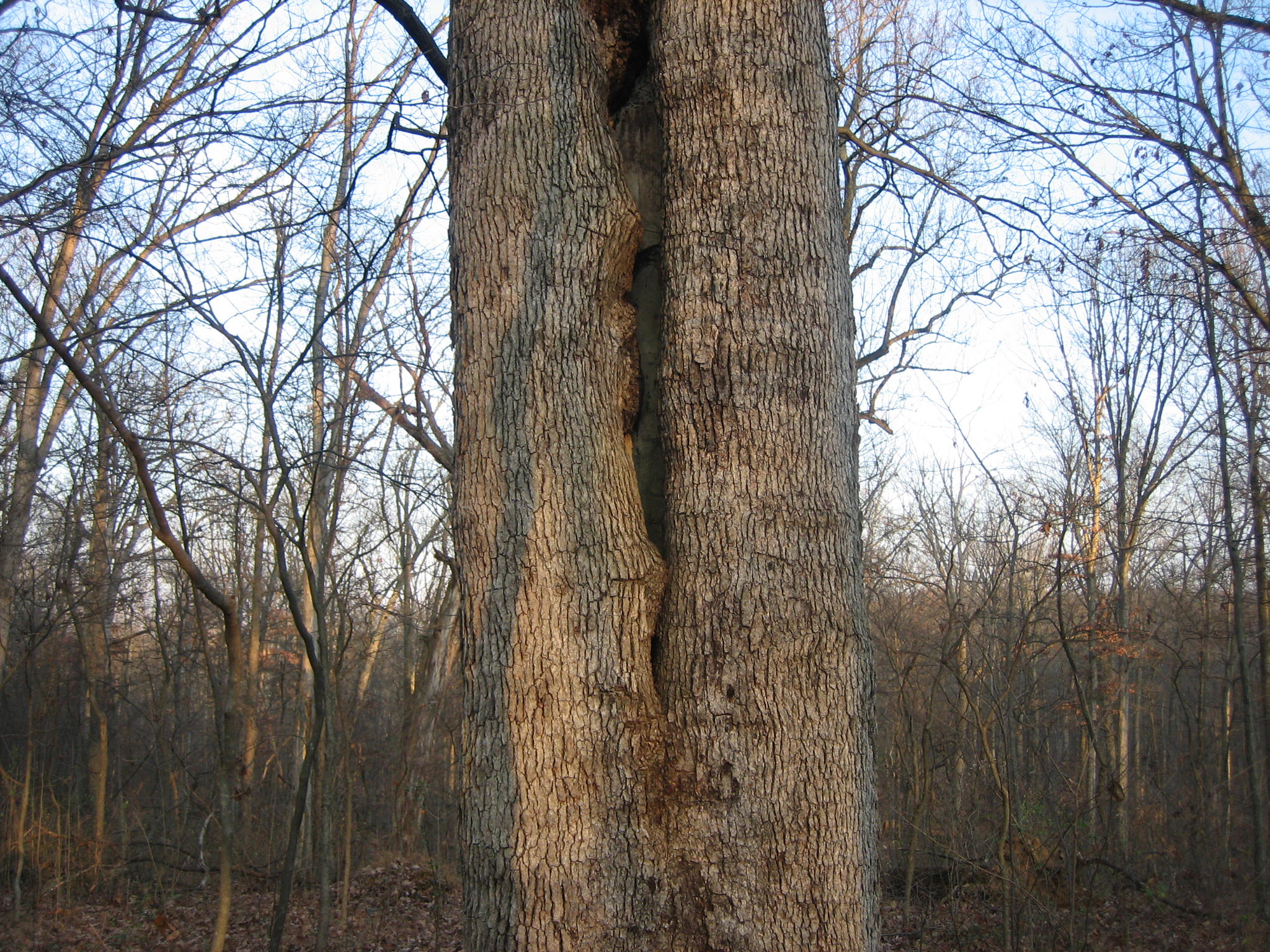
An artillery shell fired during the Battle of Gettysburg supposedly split this tree in two. The tree is located on the east slope of Culp’s Hill. In order to save the tree, someone placed cement in the split in an attempt to hold it together. This view was taken facing east at approximately 3:30 PM on Friday, November 28, 2008.
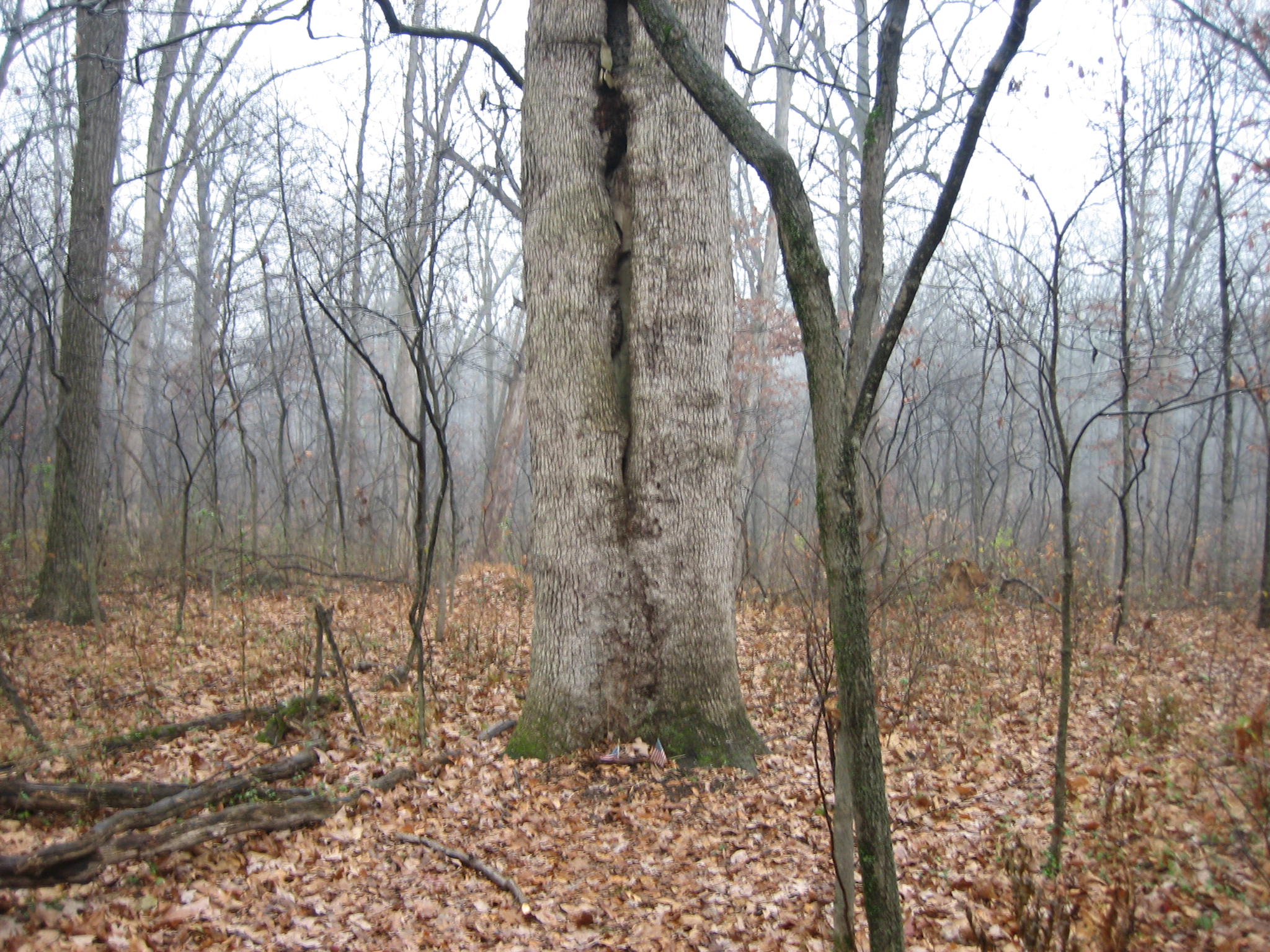
Another well known Gettysburg Witness Tree is located on the east slope of Culp’s Hill between the Union and Confederate positions. The tree, which is supposedly split because of an artillery shell, is approximately 40 yards east of the reconstructed Union earthworks, near the marker to the 147th New York Infantry regiment. At one time, someone attempted to save the tree by holding it together with cement.
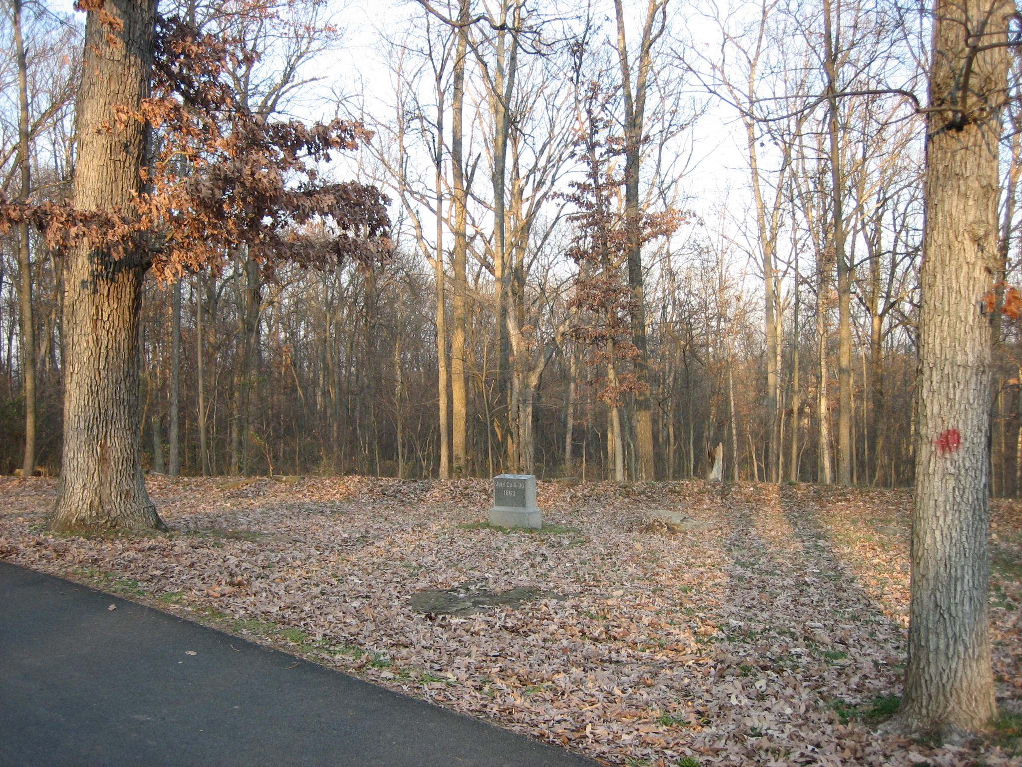
To get to the tree, drive on Slocum Avenue to the area where the you see the following monuments: 122nd New York on the right, 149th New York to its left, and the 78th/102nd New York Monument on the far left. There is a small marker to the 147th New York Regiment, straight ahead, at the top of the rise where the road has turned left. This view was taken facing northeast at approximately 9:30 AM on Sunday, November 30, 2008.
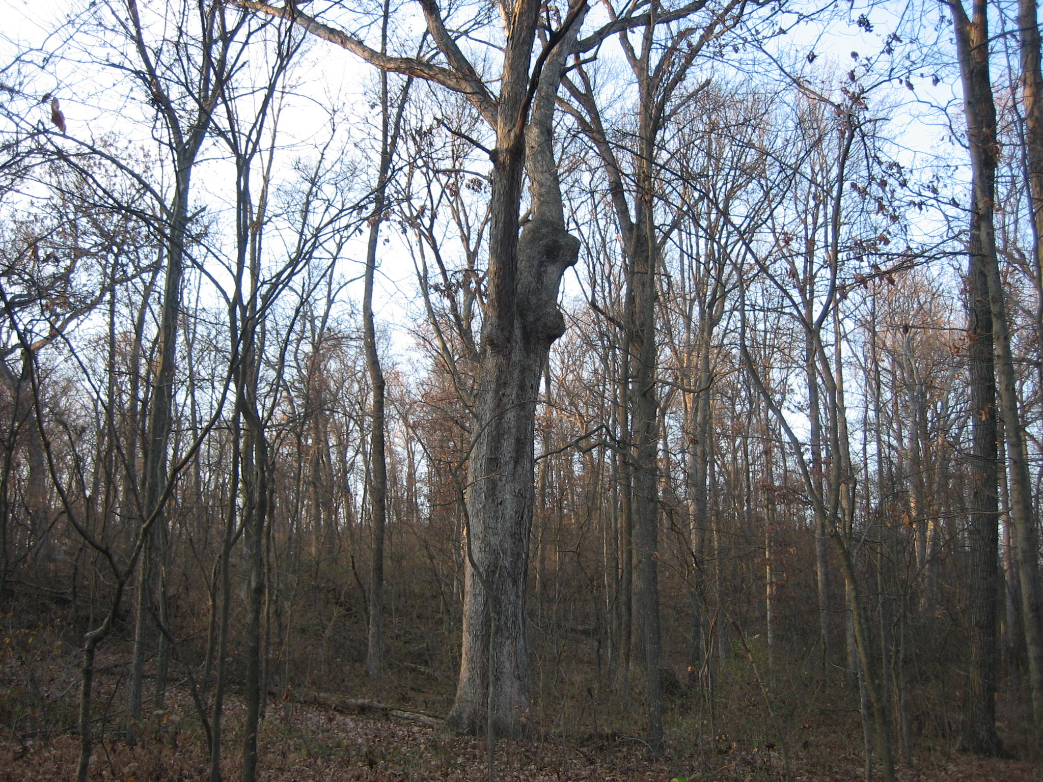
Here is the marker to the 147th New York Infantry Regiment. Directly above it is the witness tree split by the artillery shell. This view was taken facing northeast at approximately 3:30 PM on Friday, November 28, 2008.
A closer view of the marker to the 147th New York. The split in the witness tree, directly above the marker should be clearly visible. The rise in the ground are reconstructed Union earthworks. This view was taken facing northeast at approximately 3:30 PM on Friday, November 28, 2008.
To get to the tree, cross the earthworks, and walk approximately 40 yards down the slope. This view was taken facing east at approximately 3:30 PM on Friday, November 28, 2008.
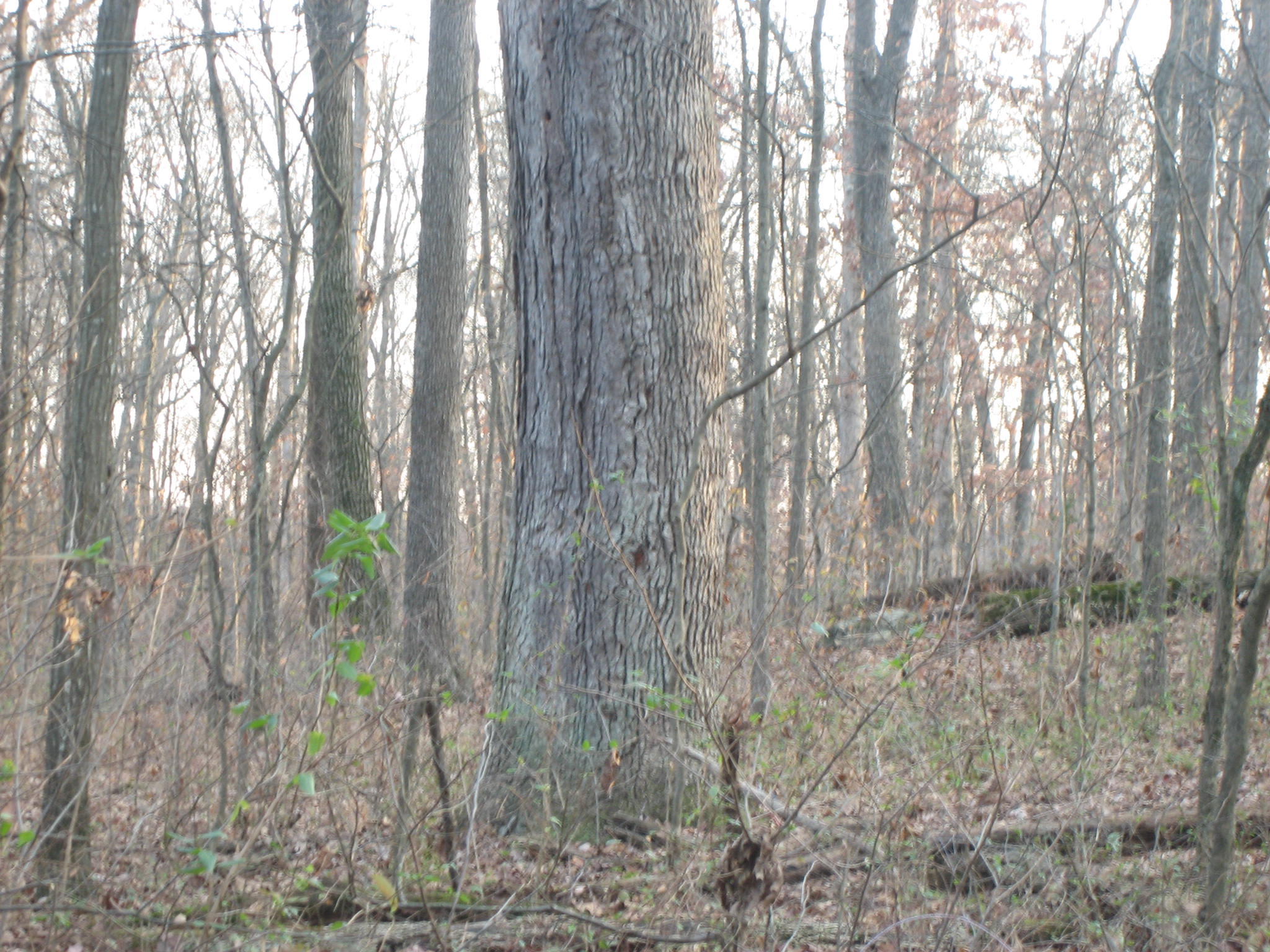
The split in the tree begins approximately three feet above the ground. This view was taken facing east at approximately 9:30 AM on Sunday, November 30, 2008.
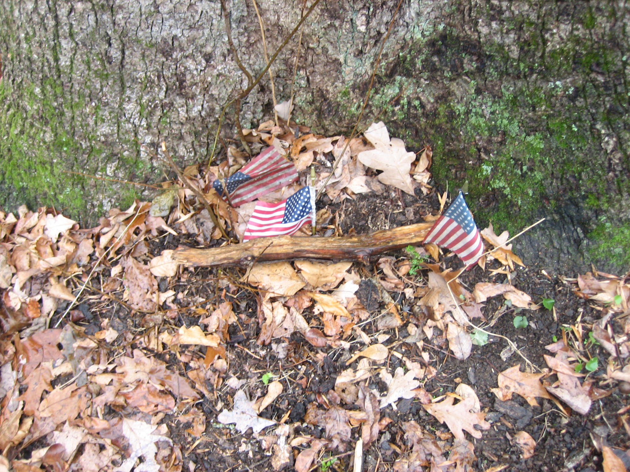
At the bottom of the tree are some wet United States flags on this rainy Sunday morning. This view was taken facing east at approximately 9:30 AM on Sunday, November 30, 2008.
The split makes much of the inside of the trunk hollow. This view was taken facing east at approximately 3:30 PM on Friday, November 28, 2008.
Although someone attempted to fill in the trunk with cement, as one looks farther up the trunk it is apparent where the cement is beginning to come apart. This view was taken facing east at approximately 3:30 PM on Friday, November 28, 2008.
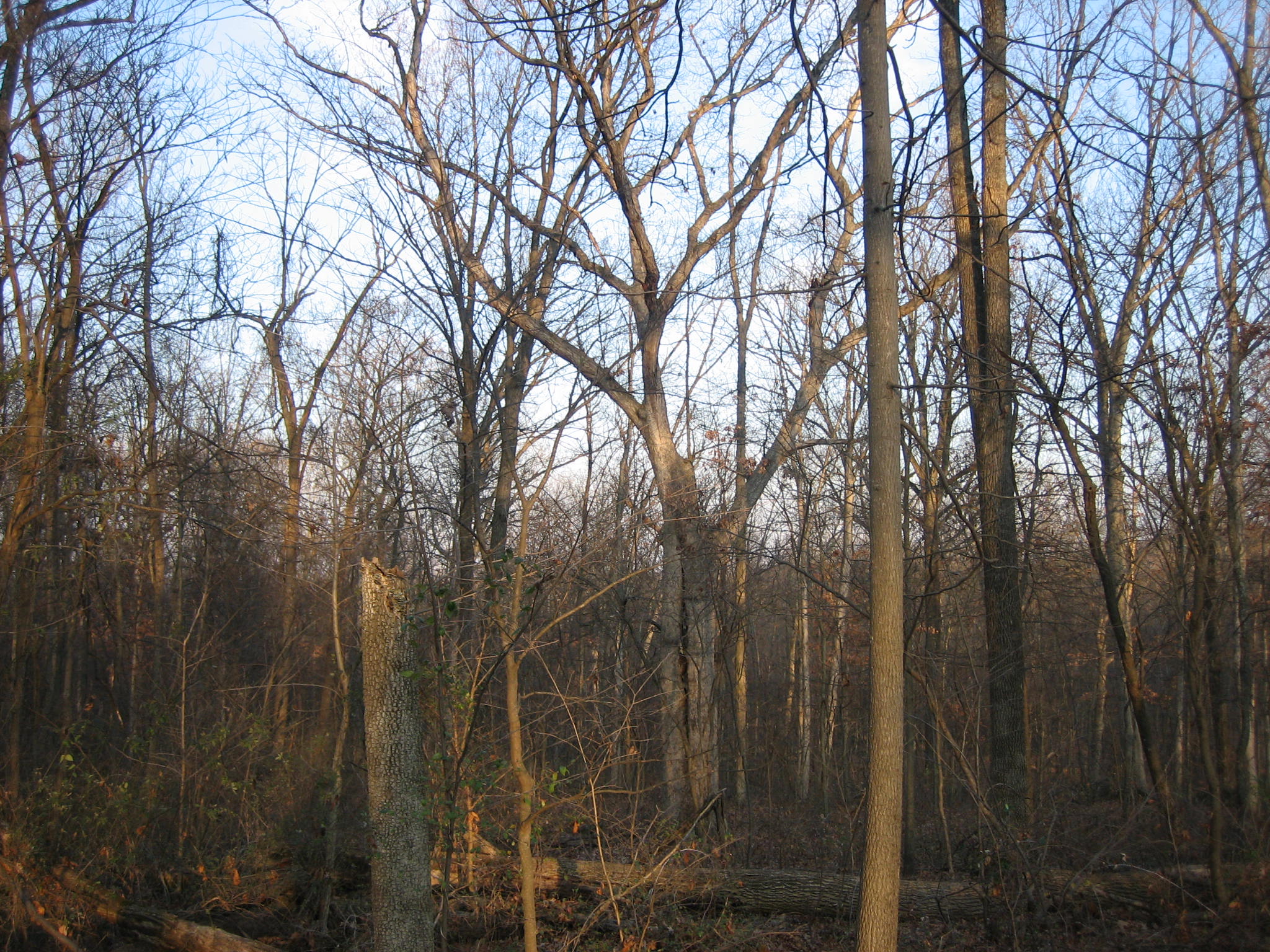
Confederates from Virginia and Louisiana attacked from right to left in this photograph the evening of July 2nd, and Louisiana and Alabama soldiers attacked here during the morning of July 3, 1863. The main section of Culp’s Hill where the observation tower is located is in the background. During the evening fight, the smoke became so thick under the trees that the Union soldiers could not see and began firing towards sounds instead of visual targets. This view was taken facing north at approximately 3:30 PM on Friday, November 28, 2008.
One report had the 1st Louisiana of Nicholl’s Brigade briefly breaking through the Union earthworks the evening of July 1st. Other reports stated that it was only a strong skirmish line, and Nicholl’s Brigade was in this position, approximately 100 yards below the Union works for most of the evening of July 2nd. This view was taken facing west at approximately 3:30 PM on Friday, November 28, 2008.
Nicholl’s Louisiana Brigade eventually settled into a position in this area on the evening of July 2nd and the early morning of July 3rd. They hugged the side of the slope, and the Union soldiers fired over their heads. This became a no man’s land until they were relieved on the morning of July 3rd by O’Neal’s Alabama Brigade. O’Neal’s Alabamians advanced up the slope from left to right. This view was taken facing south at approximately 3:30 PM on Friday, November 28, 2008.
The Alabamians advanced furiously toward the Union position, were repulsed, and stayed in that “no man’s land” on the slope for approximately three hours until ordered to retreat by General Edward Johnson. This view was taken facing east at approximately 3:30 PM on Friday, November 28, 2008.
See our previous posts on Gettysburg Witness Trees:
See our previous posts on the asphalting and burying of the 147th New York flank marker on Reynolds Avenue:
Our first post on asphalt touching the flank marker of the 147th New York on September 30, 2008.
Doubleday Avenue Roadwork on October 1, 2008.
Dirt and gravel burying flank markers on October 9, 2008.
Dirt and gravel removed from the flank markers on October 10, 2008.
Dirt and gravel returning to the flank markers on October 15, 2008.
“Do the Flank Markers on Reynolds Avenue Need to be Moved?” on October 16, 2008.
National Park Service decision not to move the Reynolds Avenue flank markers on October 22, 2008.
National Park Service has moved markers on October 23, 2008.