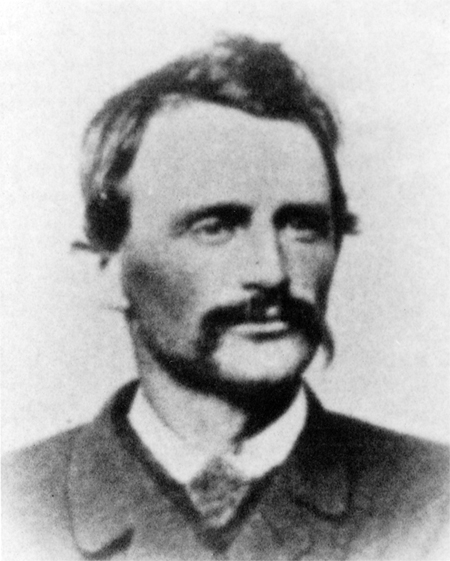
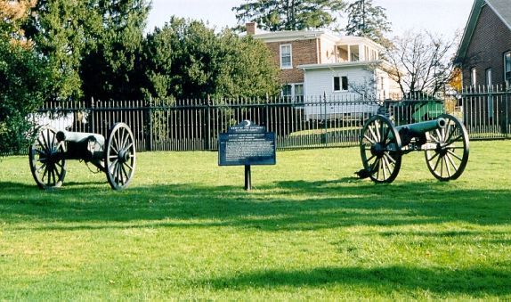
Brigadier General James Wadsworth (1807-1864) commanded the First Division of the First Corps, Army of the Potomac. On July 1, 1863 his men fought along McPherson Ridge and Seminary Ridge. This view was taken circa the 1860s and is courtesy of Joe[...]
On the left the camera is pointing to the northeast and on the right of the view the camera is pointing to the southeast. For the larger JPEG version click here, or you can download the uncompressed TIFF file (33.1 MB) here. This view was taken at[...]
Our May panorama from the Longstreet tower. On the left side we are looking north, and on the right side we are looking southeast. The smoke in the left background is from a house fire in Colt Park. For the larger JPEG version click here, or you c[...]
Gettysburg Licensed Battlefield Guide Stuart Dempsey is standing on the summit of Barlow Knoll, near the monument to the 17th Connecticut Infantry Regiment. This view was taken facing northeast at approximately 5:30 PM on Friday, April 2, 2010. Ge[...]
Craig Swain is a native of Missouri who now lives in Northern Virginia. He is standing on the Virginia side of the Potomac River and is pointing out the location where he believes the second pontoon bridge was constructed at Edwards Ferry in June,[...]
The board and batten siding has been completed on all sides of the William Patterson House. The scaffolding around the structure has also been removed. This view was taken facing north at approximately 4:30 PM on Monday, May 3, 2010. Gettysburg Na[...]
Gettysburg Licensed Battlefield Guide Andie Custer is standing on the southwest side of the Baltimore Pike near its junction of the Low Dutch Road (out of sight to the right). She is pointing at buildings occupying the site of the Henry Beitler Fa[...]
Gettysburg Licensed Battlefield Guide, and Vice President of the Center for Civil War Photography, Garry Adelman on the left, Barry Martin in the center, and Tom Danninger on the right created the CD, The Gettysburg Park Commission Photos: Then &[...]
Today’s panorama concentrates on the Confederate view of the Peach Orchard at ground level. This panorama is taken from in front of (east of) the Louisiana State Monument. On the left is Pitzer’s and Spangler’s Woods the red Alexan[...]
This view was taken at approximately 3:30 PM on Tuesday, April 27, 2010. On the left we are looking to the north. On the right we are looking to the south. For a medium-sized version of the panorama click here. For the larger JPEG version, click he[...]


