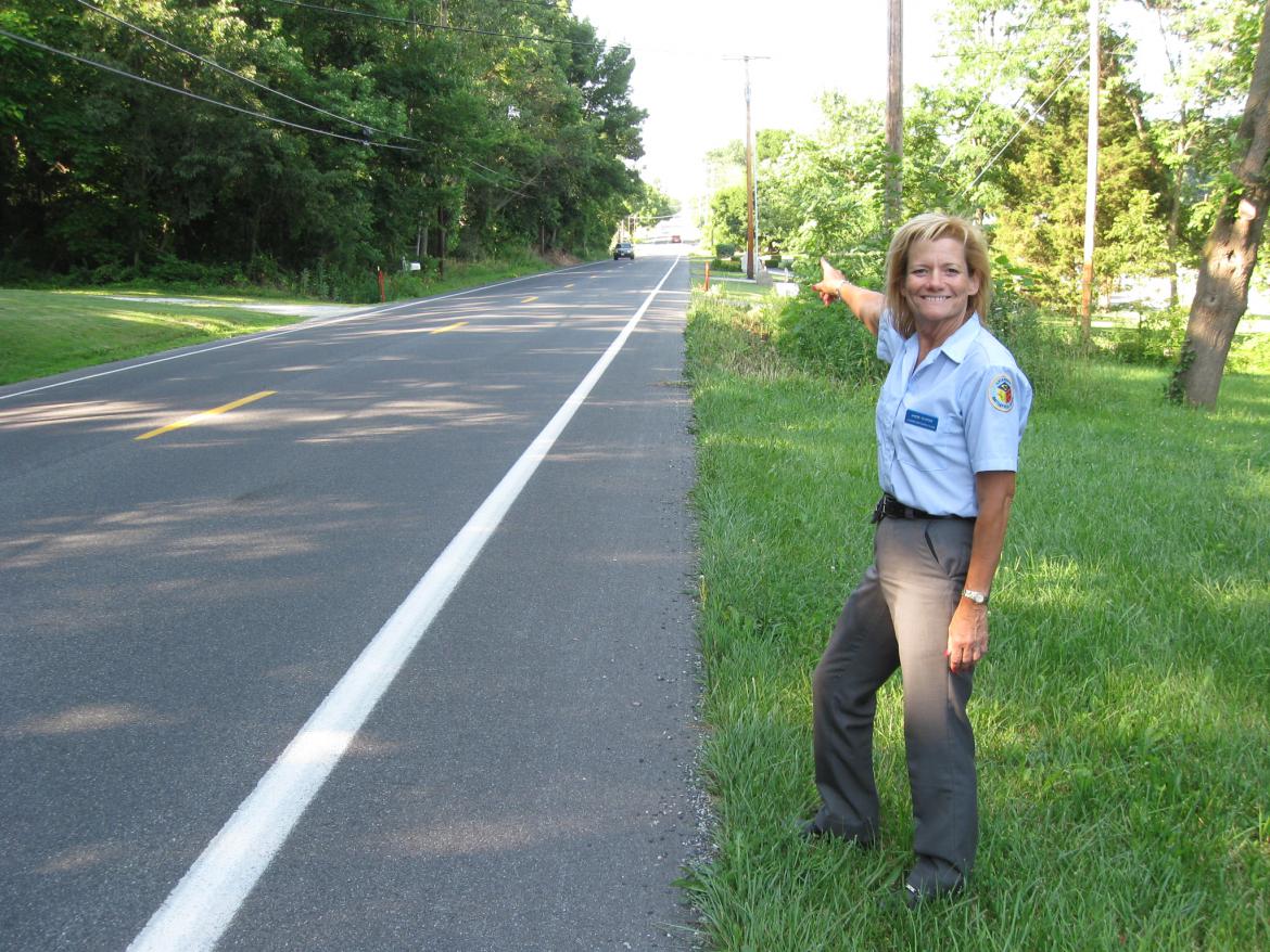
The waterline cuts through this ravine, running from Geary Avenue (background), to Williams Avenue (just behind the camera position). This view was taken facing south at approximately 2:30 PM on Saturday, July 17, 2010. A National Park Service cont[...]
Erected in the early 1900s, this marker denotes the apple orchard behind it as the headquarters of Robert E. Lee during the battle of Gettysburg. This view was taken facing southwest at approximately 6:40 AM on Tuesday, July 6, 2010. In the decades[...]
To our left we can see the monument to the 71st Pennsylvania Infantry Regiment, the Copse/Clump of Trees, the monument to the 72nd Pennsylvania Infantry Regiment, and the Round Tops. The Codori Farm is visible to the front left. The Pickett’s [...]
Here is a panorama from the northwest corner of the Pennsylvania Monument. The Round Tops are on the left and Cemetery Hill is on the right. (for the larger JPEG version click here, or you can download the uncompressed TIFF file (31.6 MB) here) Th[...]
Gettysburg Licensed Battlefield Guide Bill Dowling is standing on top of Devil’s Den near the artillery pieces for Smith’s 4th New York Battery. He is demonstrating how one make their body into a tripod by among other movements, placing[...]
Gettysburg Licensed Battlefield Guide Andie Custer is standing on the east side of the Emmitsburg Road. She is pointing to Wintrode Ridge, which was occupied on July 3, 1863 by James Hart’s South Carolina Battery and later by William Graham&[...]
Construction equipment west of Geary Avenue, near Pardee field, placing the water line between the Spangler’s Spring restroom and Cemetery Hill. This view was taken facing south at approximately 12:00 PM on Tuesday, July 13, 2010. A National [...]
Plum Run, taken just south of Devil’s Den. This is a nice picture of Plum Run. This is not a picture of the vandalism, because we don’t want you to show everyone in your family if they’re not of the age to see this. This view was [...]
This one and a half story stone house was occupied by the widow Mary Thompson during July of 1863. Of approximately 30 scenes photographed by Civil War photographer Mathew Brady a week and a half after the battle, four were taken in front of this d[...]
Our latest panoramic update of the change of seasons from Little Round Top. This view was taken at approximately 7:05 AM on Wednesday, July 7, 2010. For a medium-sized version of the panorama click here. For the larger JPEG version, click here. I[...]

