

The waterline cuts through this ravine, running from Geary Avenue (background), to Williams Avenue (just behind the camera position). This view was taken facing south at approximately 2:30 PM on Saturday, July 17, 2010.
A National Park Service contractor has continued their work on running a water line from the Spangler’s Spring restroom to East Cemetery Hill. Work stopped for the weekend but resumed yesterday. These photos were taken over the weekend.
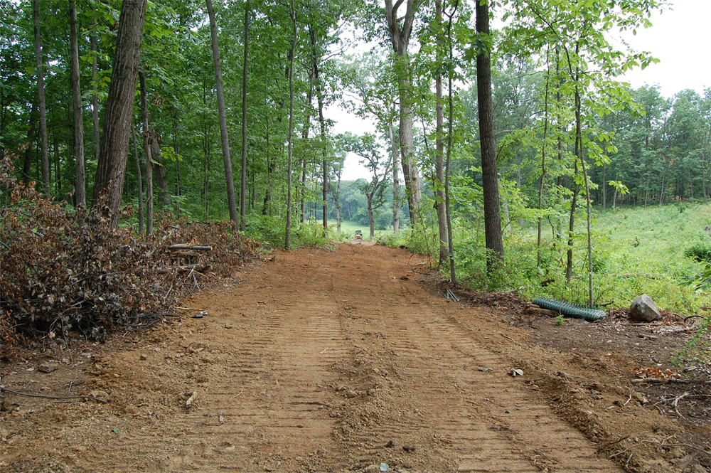
In response to the emails and concerns of a number of our readers after our first and second post on the waterline, the National Park Service has remarked that this is the same spot as a hand-dug waterline that was originally built in the 1930s. Pardee Field is in the far background of this shot. This view was taken facing south at approximately 2:30 PM on Saturday, July 17, 2010.
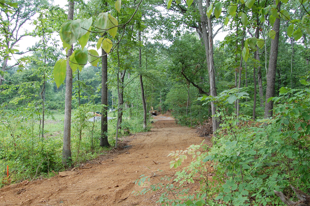
Besides our concern that this violates the Park Service’s own General Management Plan about not perpetuating non-modern structures, it’s interesting to note that we have seen no evidence of this old waterline being dug up by any of the equipment on the field. We have not seen any old pipes removed. This view was taken facing north at approximately 2:30 PM on Saturday, July 17, 2010.
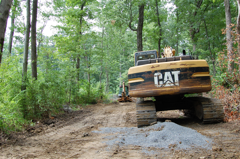
Why is this a big deal, you ask? In the same responses to our readers, the Park Service has cited this as the reason why they did not need to conduct an archaeological study of the ground before they began this work. The NPS spokesperson says that the NPS archaeologist is “monitoring” the situation. For the record, we have not seen a National Park Service vehicle or personnel present any of the times that we have taken photographs of this work. This shot shows where the waterline crosses Williams Avenue. This view was taken facing north at approximately 2:30 PM on Saturday, July 17, 2010.
So if they’re not precisely following this 1930s hand-dug waterline, can we really call this with confidence, a “disturbed corridor,” as the National Park Service has? Or maybe the 1930s waterline is very, very deep and they haven’t hit it yet. Anyplace, at all. This view was taken facing northwest at approximately 2:30 PM on Saturday, July 17, 2010.

Here is a close-up of the trench with the new waterline to occupy this trench. This view was taken facing southeast at approximately 2:30 PM on Saturday, July 17, 2010.

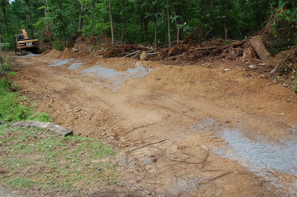
The waterline will come out of the woods here and follow the north side of Williams Avenue … This view was taken facing east at approximately 2:30 PM on Saturday, July 17, 2010.

… then crossing Williams Avenue and running on the southern side of the Slocum equestrian statue on Steven’s Knoll. It will then climb East Cemetery Hill. We’re interested to see how construction will progress as it comes out of the woods and starts to intrude on some of the most visited ground on the battlefield, and some very historic stone walls. This view was taken facing northwest at approximately 2:30 PM on Saturday, July 17, 2010.