Gettysburg’s February 10th Snow Storm: Lower Culp’s Hill/Spangler’s Hill
March 19, 2010
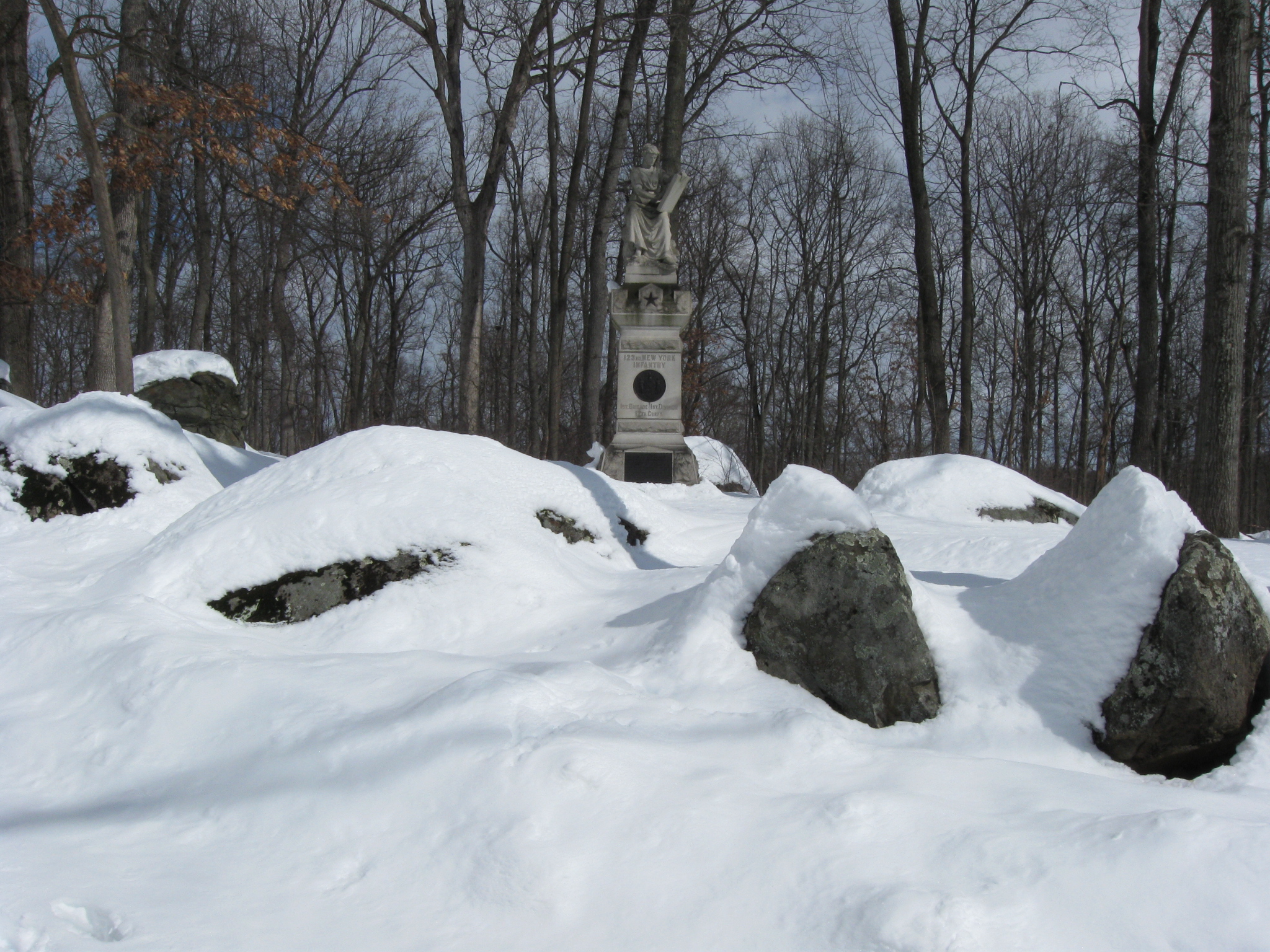
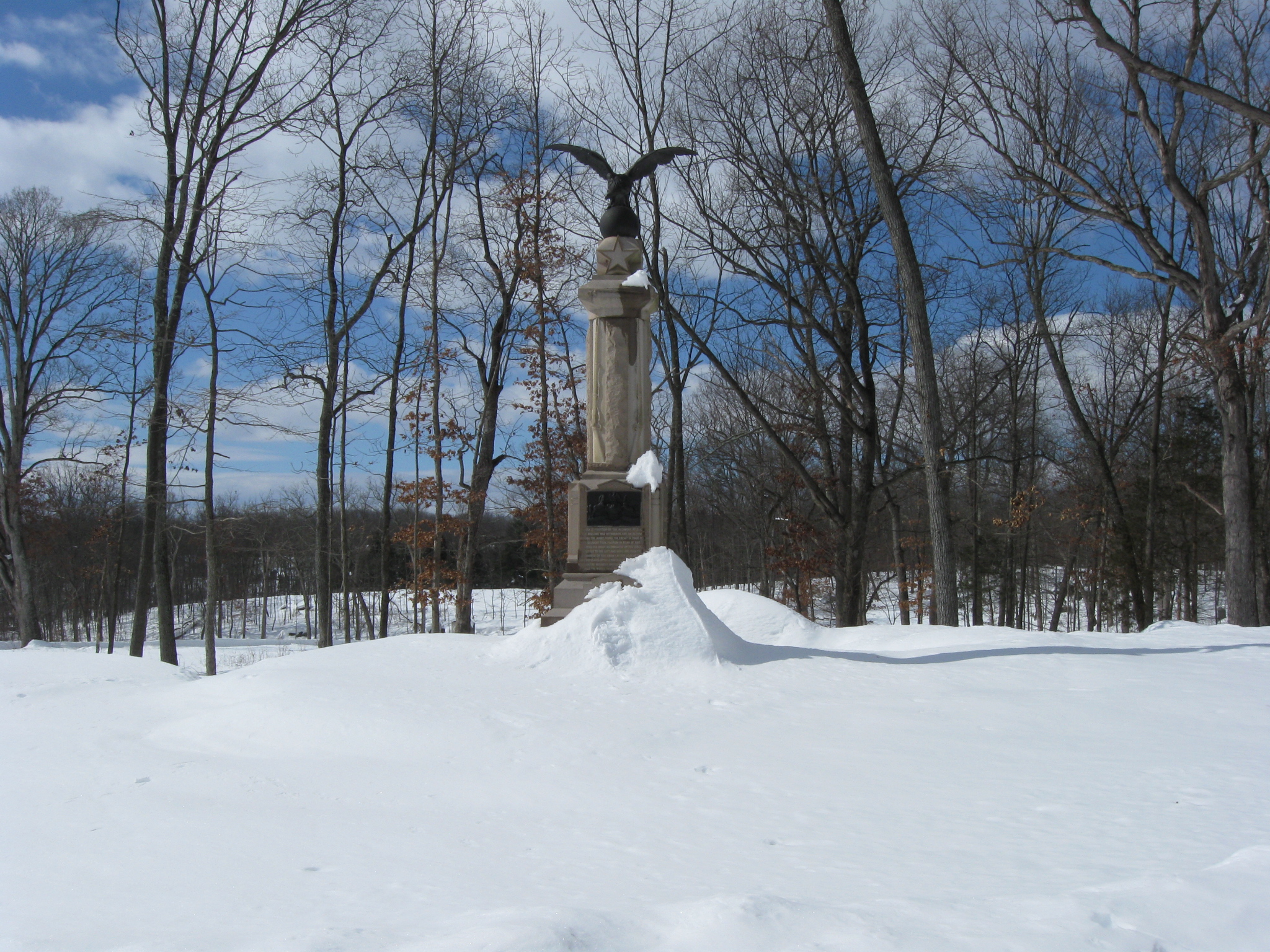
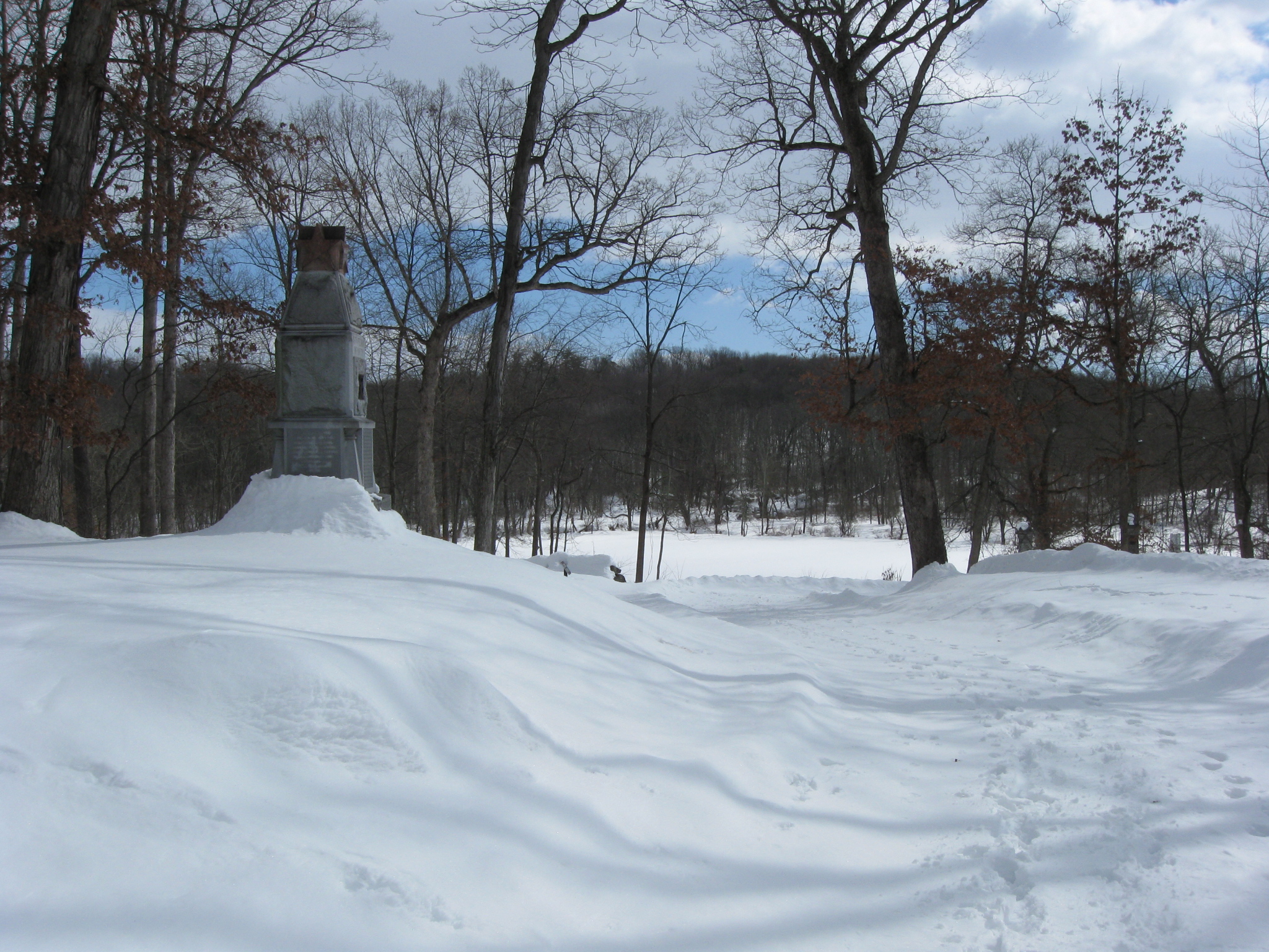
The monument to the 123rd New York Infantry Regiment on Lower Culp’s Hill or Spangler’s Hill. This view was taken facing northeast at approximately 12:30 PM on Sunday, February 14, 2010.
The Gettysburg area now has sunshine and highs in the 60s. However, before we reach spring later this week, we wanted to take a last opportunity to show you Gettysburg in the snow. During one of the days before the park roads were cleared we walked to and around Culp’s Hill just to document the appearance of the snow covered landscape. Today we visit Lower Culp’s Hill, or Spangler’s Hill.
See the following related posts:
Gettysburg’s February 6th “Blizzard,” the Morning After: Part 1 on February 8, 2010.
Gettysburg’s February 6th “Blizzard,” the Morning After: Part 2 on February 9, 2010.
Gettysburg’s February 6th “Blizzard,” the Morning AFter: Part 3 on February 10, 2010.
Gettysburg’s February 10th Snow Storm: Cemetery Ridge Part 1 on February 15, 2010.
Gettysburg’s February 10th Snow Storm: Cemetery Ridge Part 2 on February 16, 2010.
Gettysburg’s February 10th Snow Storm: Cemetery Ridge Part 3 on February 17, 2010.
Gettysburg’s February 10th Snow Storm: Cemetery Ridge Part 4 on February 18, 2010.
Gettysburg’s February 10th Snow Storm: Doubleday Avenue on February 23, 2010.
Gettysburg’s February 10th Snow Storm: Wainwright Avenue on March 16, 2010.
Gettysburg’s February 10th Snow Storm: Stevens’ Knoll and Culp’s Hill Summit on March 17, 2010.
Gettysburg’s February 10th Snow Storm: Culp’s Hill Southern/Southeastern Slope on March 18, 2010.
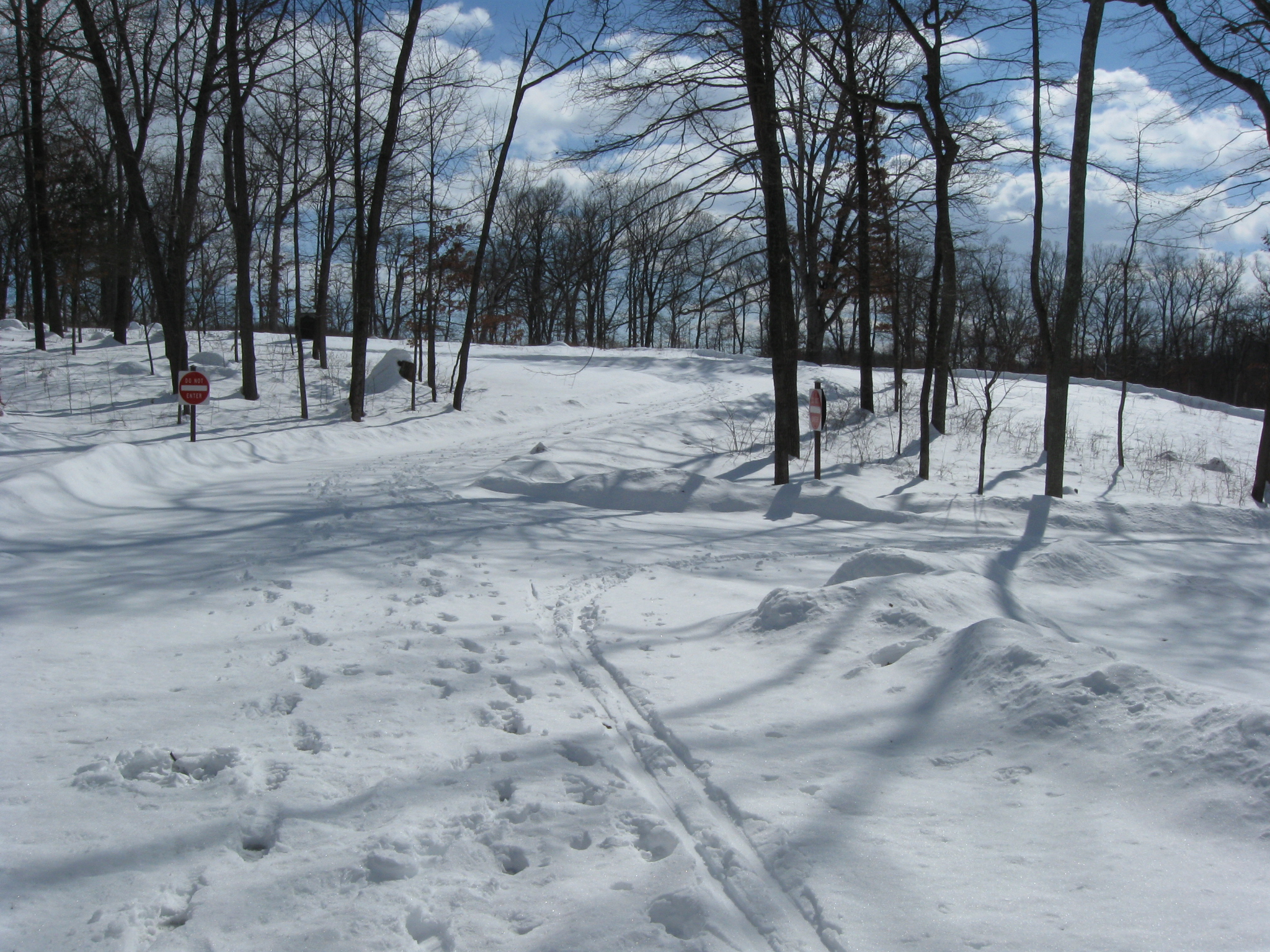
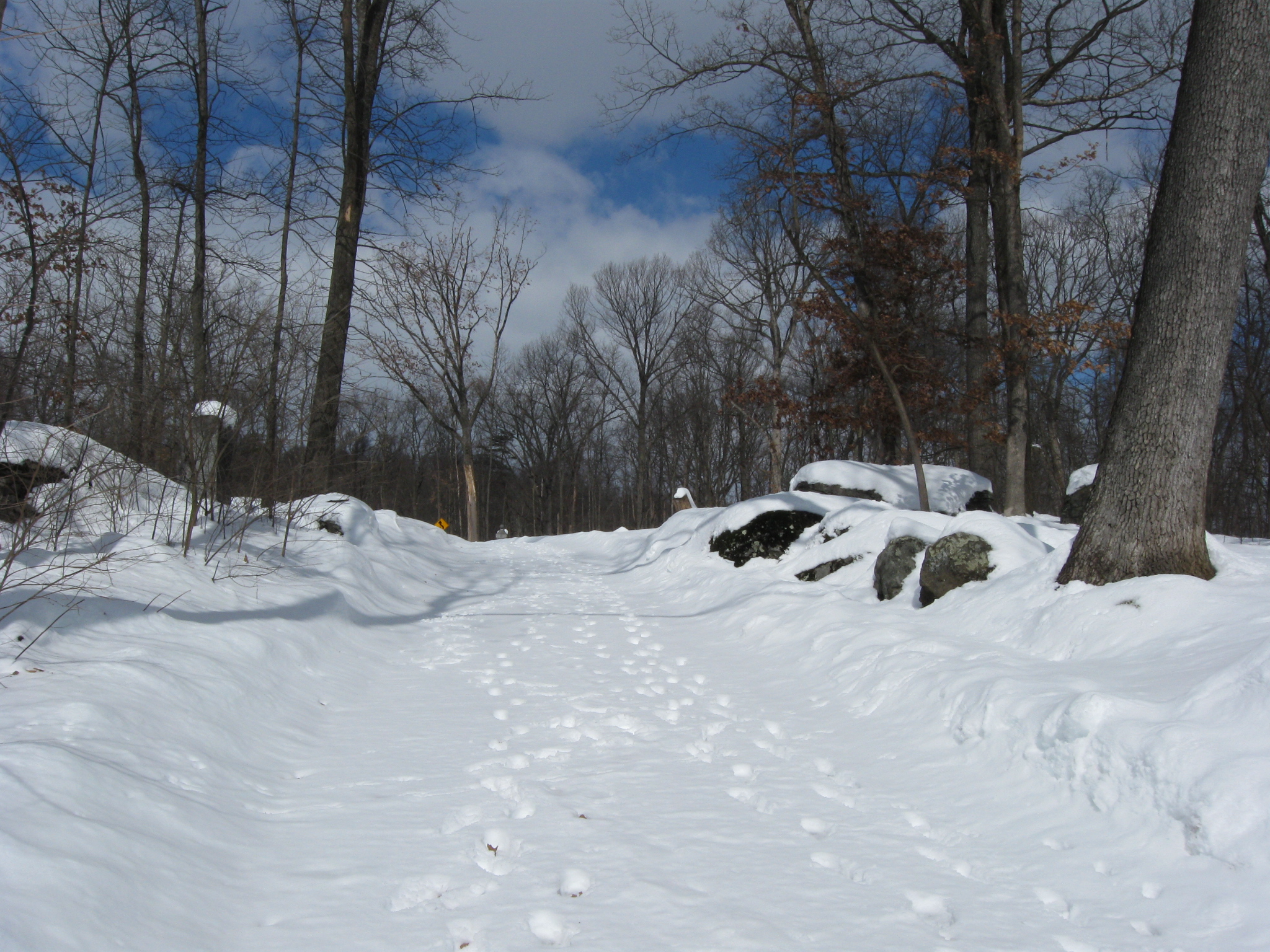
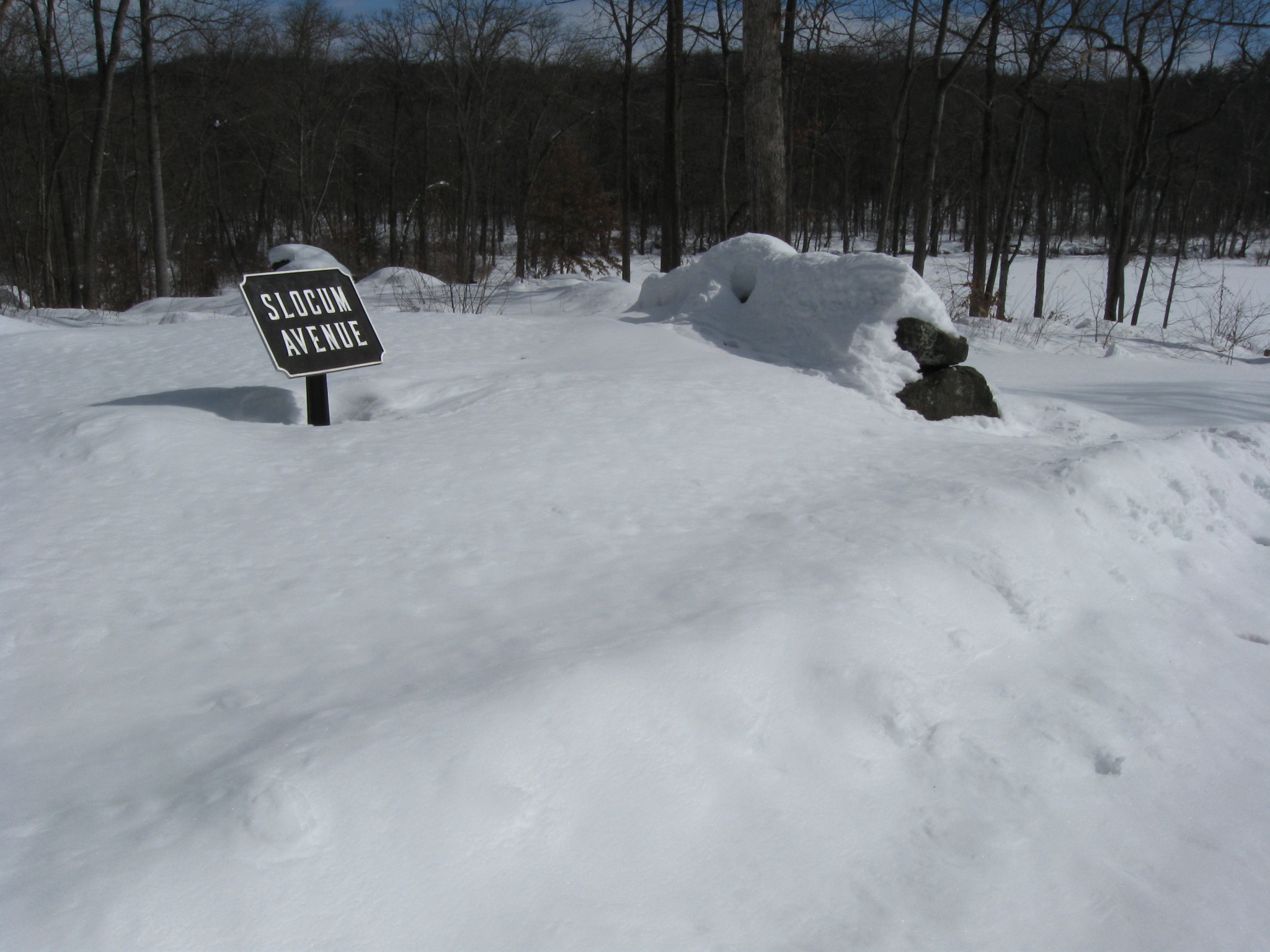
We’re continuing our Culp’s Hill tour by moving towards Lower Culp’s Hill/Spangler’s Hill. We are at the junction of Slocum Avenue (straight ahead) and Geary Avenue on which one might make a right turn. But we won’t. This view was taken facing southeast at approximately 12:30 PM on Sunday, February 14, 2010.
The monument to the 109th Pennsylvania Infantry Regiment is on the left (east) side of Slocum Avenue. This view was taken facing east at approximately 12:30 PM on Sunday, February 14, 2010.
The monument to the 111th New York Infantry Regiment. This view was taken facing southeast at approximately 12:30 PM on Sunday, February 14, 2010.
Looking down Geary Avenue and across Pardee Field towards the 5th Ohio Infantry monument. This view was taken facing southwest at approximately 12:30 PM on Sunday, February 14, 2010.
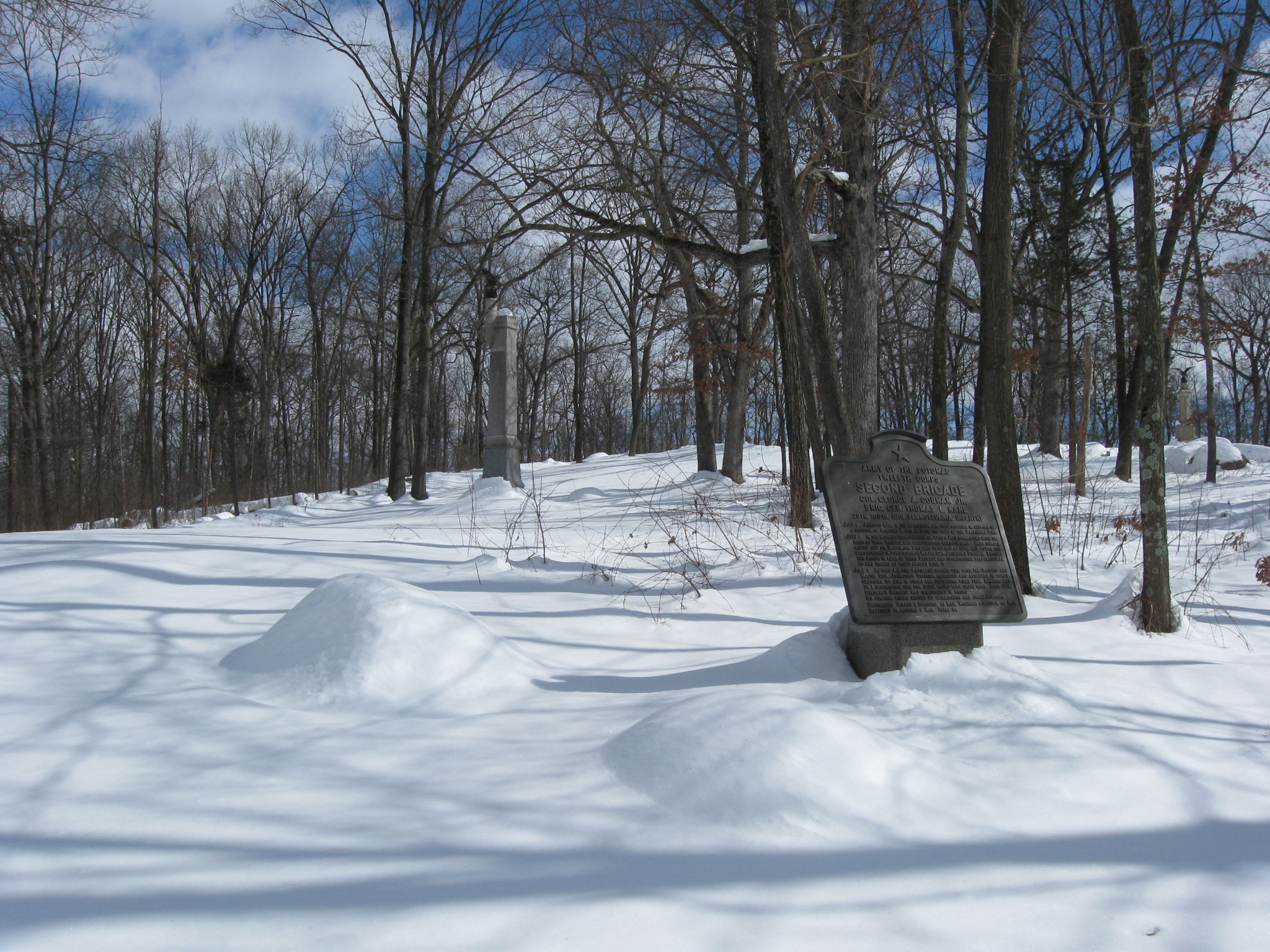
The marker for Cobham’s/Kane’s Brigade and the 111th Pennsylvania in the left background. This view was taken facing southeast at approximately 12:30 PM on Sunday, February 14, 2010.
As we climb the hill we’re looking at the back of the monument to the 29th Pennsylvania Infantry Regiment. This view was taken facing southeast at approximately 12:30 PM on Sunday, February 14, 2010.
As we reach the top of Lower Culp’s Hill/Spangler’s Hill, we’re looking back at the monument to the 111th Pennsylvania, and the 109th Pennsylvania. This view was taken facing northwest at approximately 12:30 PM on Sunday, February 14, 2010.
The monument to the 2nd Maryland Regiment/1st Battalion (CSA). This view was taken facing east at approximately 12:30 PM on Sunday, February 14, 2010.
The front of the monument to the 29th Pennsylvania Infantry Regiment. This view was taken facing west at approximately 12:30 PM on Sunday, February 14, 2010.
This monument was dedicated on September 11, 1889. This view was taken facing northwest at approximately 12:30 PM on Sunday, February 14, 2010.
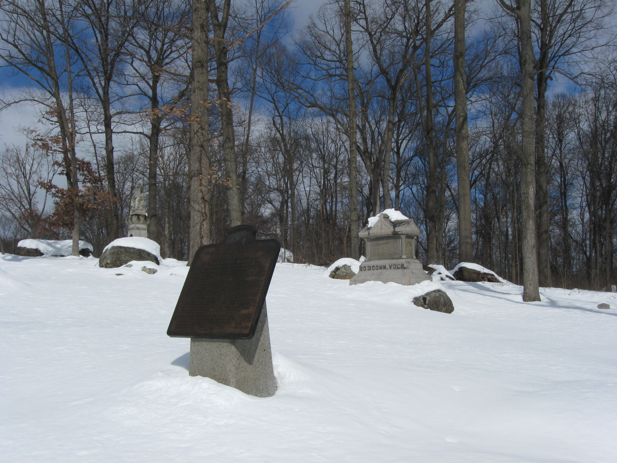
Looking back at the direction from which we came. The 29th Pennsylvania is on the left and the 2nd Maryland is on the right of Slocum Avenue. This view was taken facing northwest at approximately 12:30 PM on Sunday, February 14, 2010.
The direction in which we’re going. McAllister’s Hill is in the background. This view was taken facing southeast at approximately 12:30 PM on Sunday, February 14, 2010.
The monument to the 123rd New York Infantry Regiment. This view was taken facing southeast at approximately 12:30 PM on Sunday, February 14, 2010.
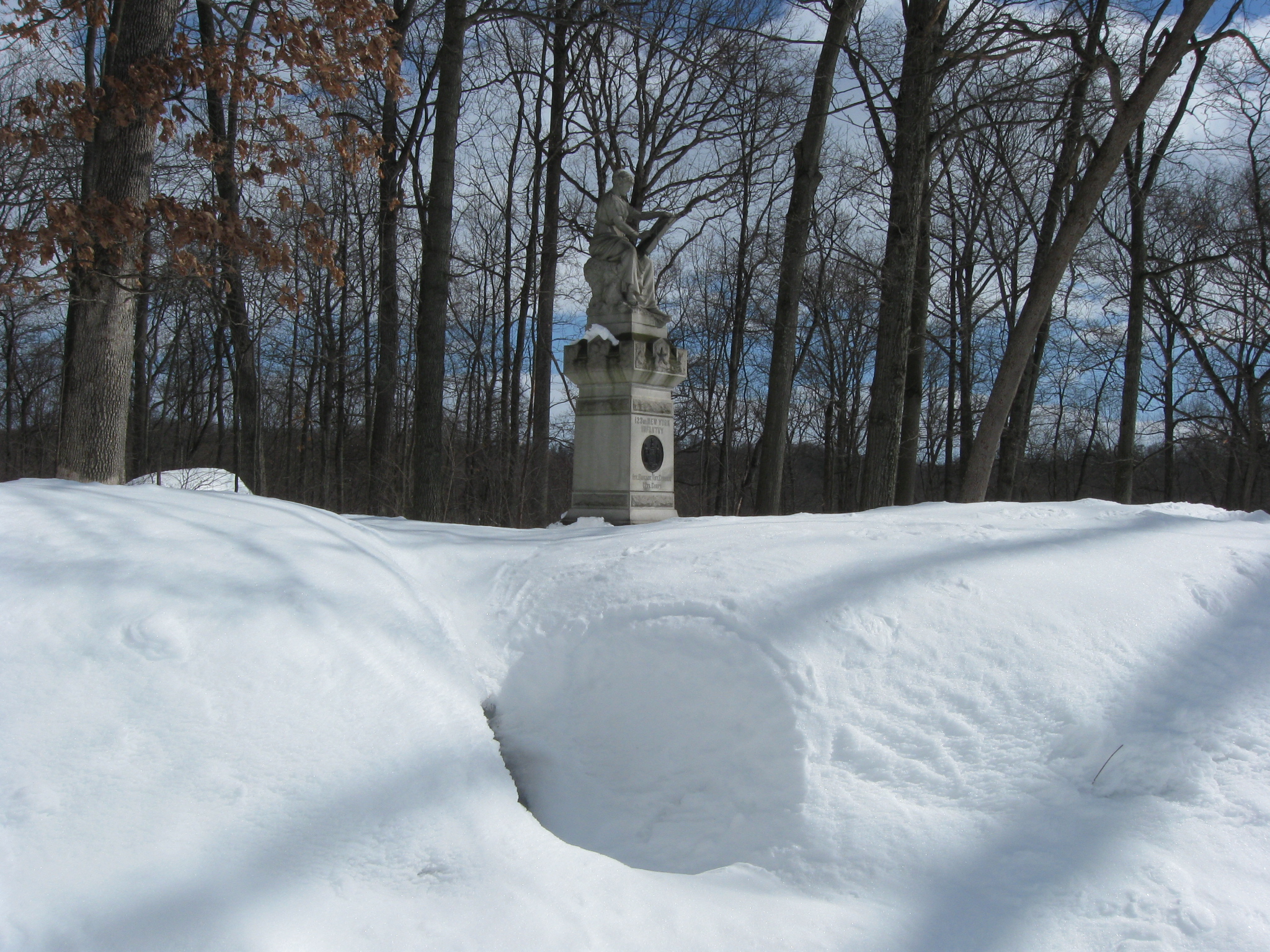
Clio, the Muse of History, records the events that occurred here on July 2nd and July 3rd, 1863. This view was taken facing northeast at approximately 12:30 PM on Sunday, February 14, 2010.
The monument to the 123rd New York was dedicated on September 4, 1888. This view was taken facing east at approximately 12:30 PM on Sunday, February 14, 2010.
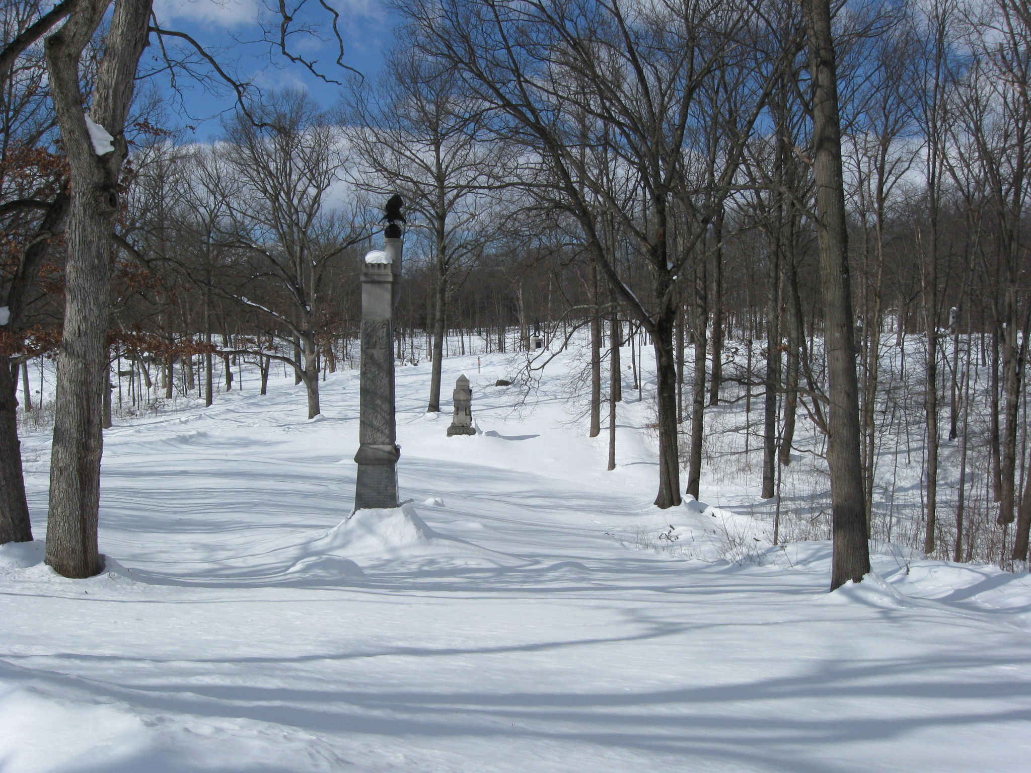
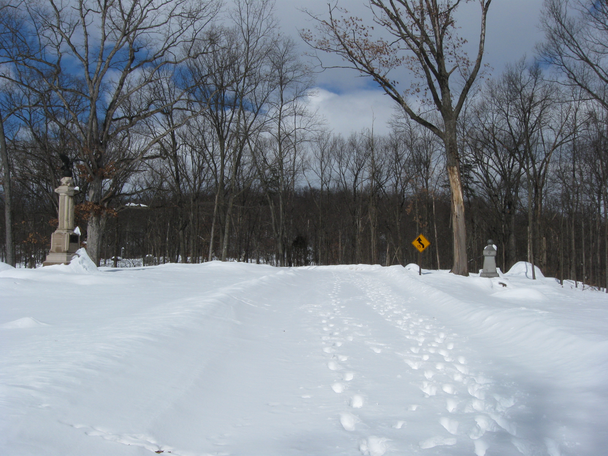
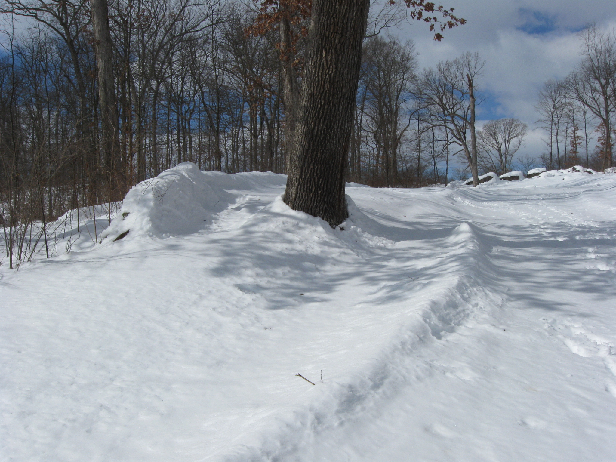
Looking back to the summit of Lower Culp’s Hill/Spangler’s Hill. This view was taken facing northwest at approximately 12:30 PM on Sunday, February 14, 2010.
The monument to the 20th Connecticut Infantry is also on the east side of Slocum Avenue. This view was taken facing northwest at approximately 12:30 PM on Sunday, February 14, 2010.
The plaque is to McDougall’s Brigade. The 123rd New York is in the left background, and the 20th Connecticut is in the right background. This view was taken facing northeast at approximately 12:30 PM on Sunday, February 14, 2010.
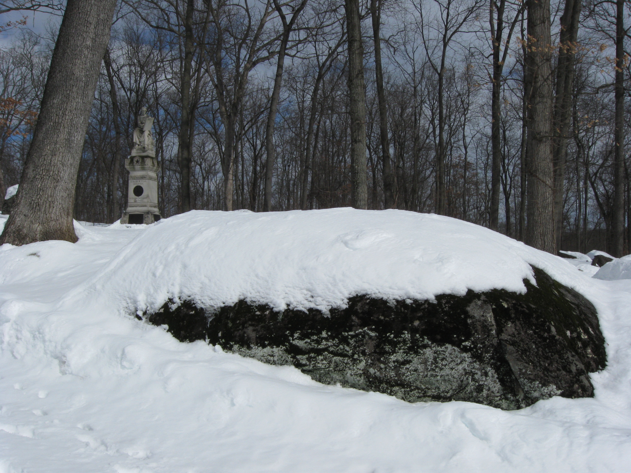
Looking down the slope. Spangler’s Spring is mostly hidden by the woods in the right background. Snow covers the rock wall (hump) which separated Henry Culp land (this side of the wall) from Henry Spangler land (other, west side of the wall). This view was taken facing south at approximately 12:30 PM on Sunday, February 14, 2010.
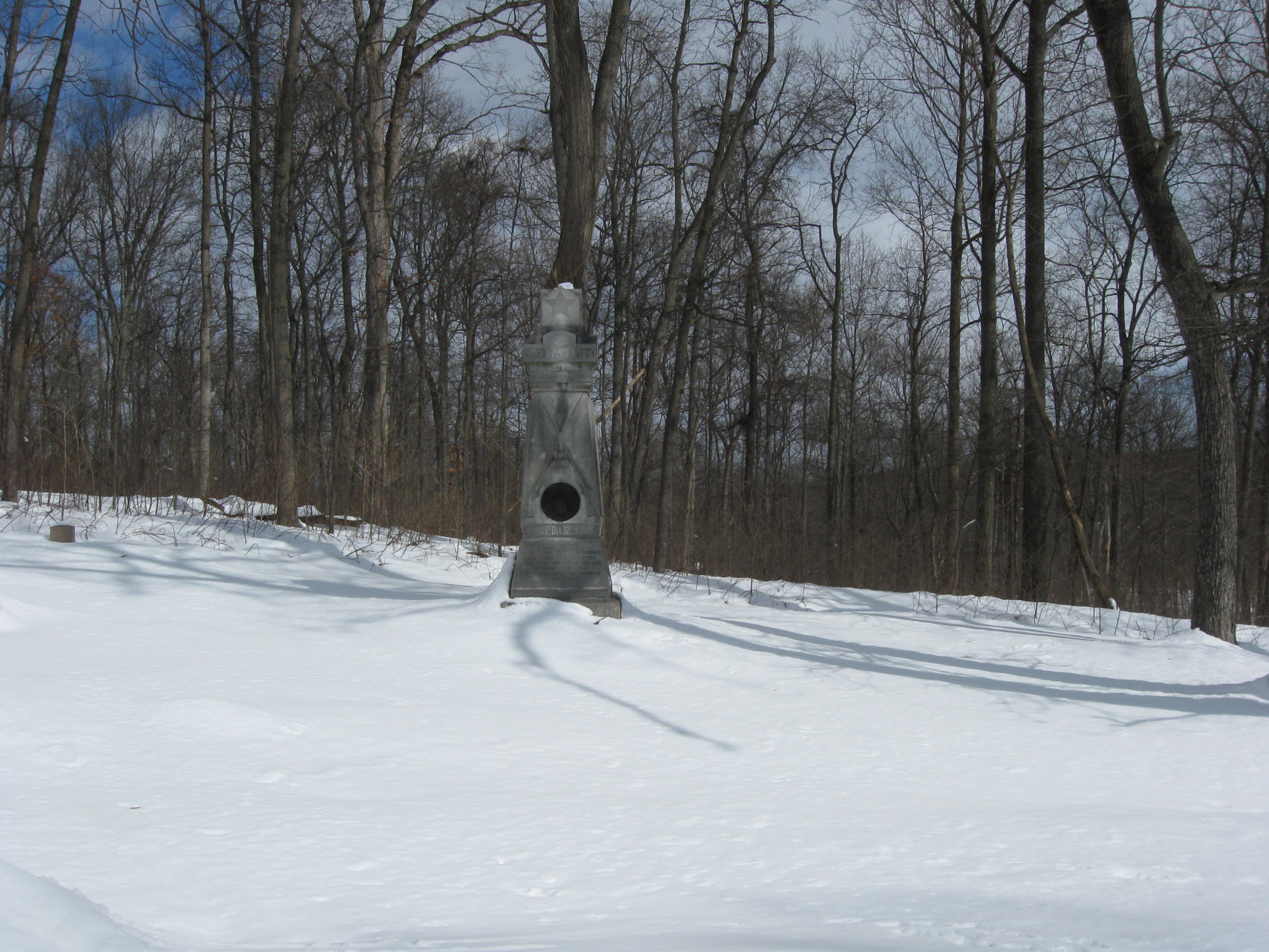
The monument to the 3rd Maryland Infantry Regiment (USA). This view was taken facing northeast at approximately 12:30 PM on Sunday, February 14, 2010.
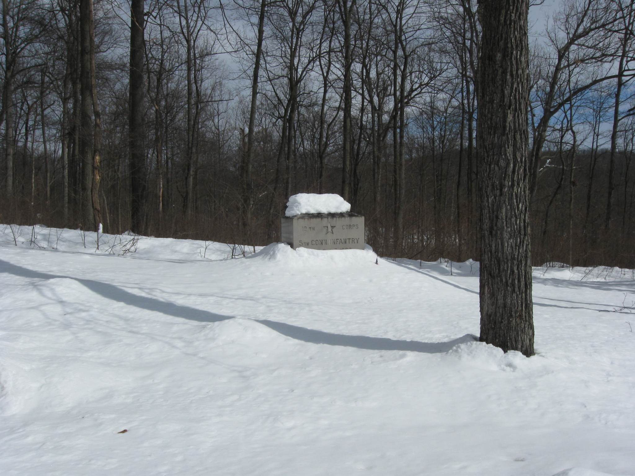
The monument to the 5th Connecticut Infantry Regiment. This view was taken facing east at approximately 12:30 PM on Sunday, February 14, 2010.
The monument to the 145th New York. This view was taken facing east at approximately 12:30 PM on Sunday, February 14, 2010.
Continuing down the slope. Spangler’s Meadow is in the background. The monument to the 46th Pennsylvania Infantry is on the left. This view was taken facing southeast at approximately 12:30 PM on Sunday, February 14, 2010.
The 46th Pennsylvania Monument was dedicated on September 12, 1889. This view was taken facing southeast at approximately 12:30 PM on Sunday, February 14, 2010.
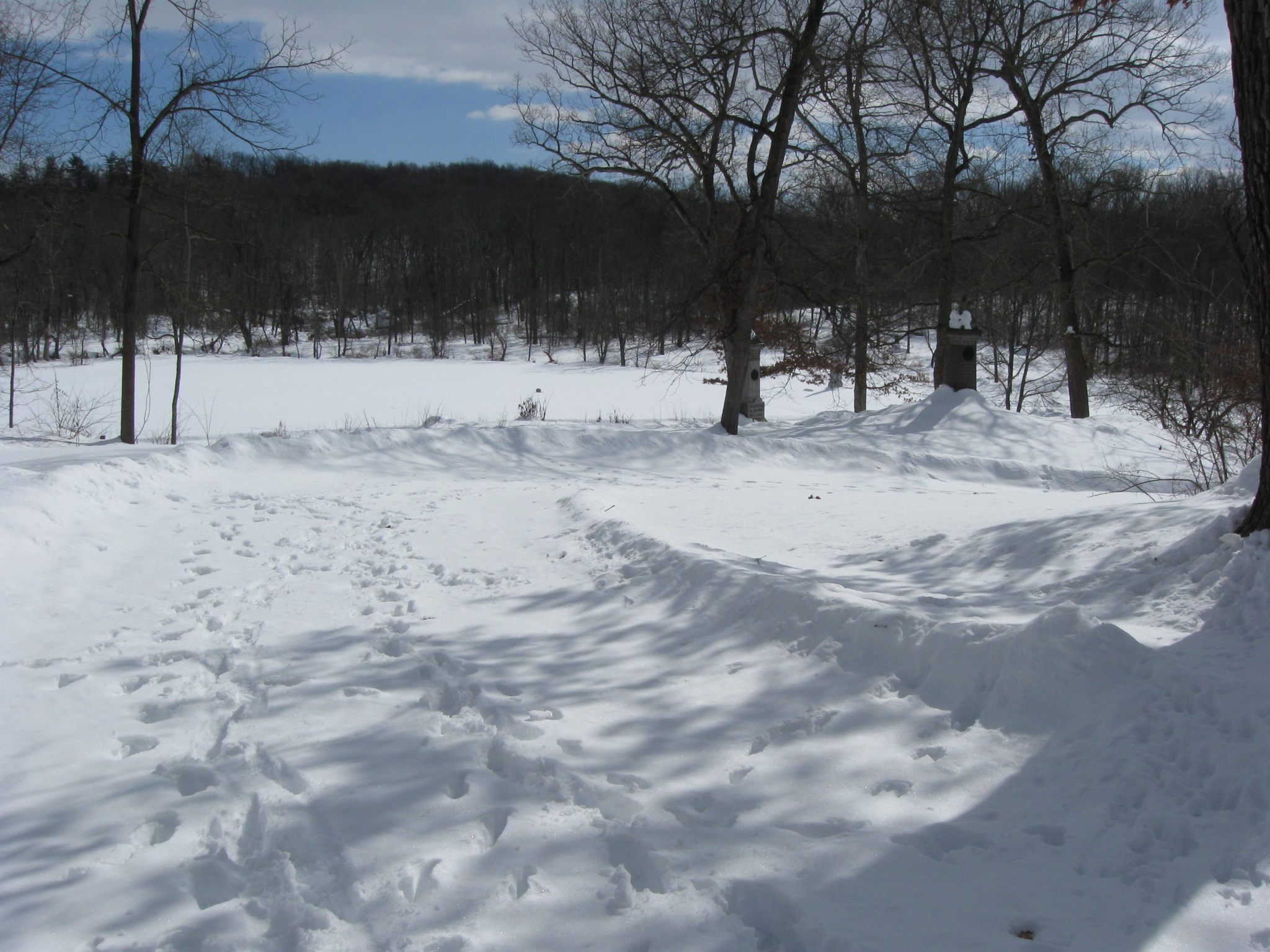
Looking back towards the summit of Lower Culp’s Hill/Spangler Hill. This view was taken facing northwest at approximately 12:30 PM on Sunday, February 14, 2010.
The rock wall separating Culp land from Spangler land is difficult to see. Here is it on the east side of Slocum Avenue. This view was taken facing southeast at approximately 12:30 PM on Sunday, February 14, 2010.
Here it is on the west side of Slocum Avenue. Spangler land left of the wall, Culp land right of the wall. This view was taken facing northwest at approximately 12:30 PM on Sunday, February 14, 2010.
Next time we leave the hill, and go into Spangler’s Meadow and McAllister’s Woods. This view was taken facing southwest at approximately 12:30 PM on Sunday, February 14, 2010.