Gettysburg’s February 10th Snow Storm: Wainwright Avenue
March 16, 2010
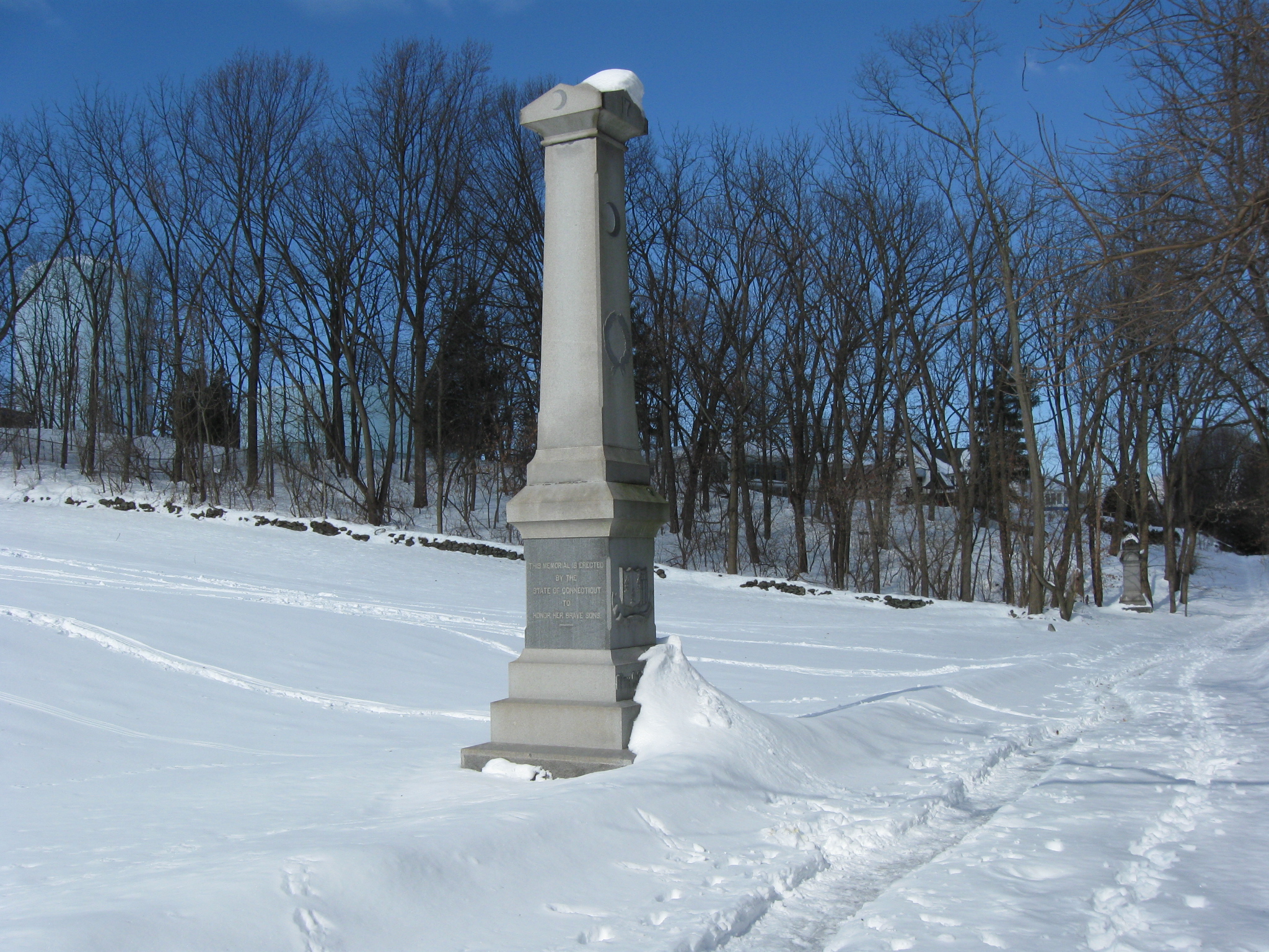
We began our walk towards Culp’s Hill by walking along Wainwright Avenue at the foot of East Cemetery Hill. On the left of the snow covered Wainwright Avenue is the 17th Connecticut Infantry monument. This view was taken facing northwest at approximately 10:00 AM on Sunday, February 14, 2010.
The Gettysburg area has been covered with rain the last four days and hopefully no more snow is on the way. However, before we reach spring next week, we wanted to take a last opportunity to show you Gettysburg in the snow. During one of the days before the park roads were cleared we walked to and around Culp’s Hill just to document the appearance of the snow covered landscape.
See the following related posts:
Gettysburg’s February 6th “Blizzard,” the Morning After: Part 1 on February 8, 2010.
Gettysburg’s February 6th “Blizzard,” the Morning After: Part 2 on February 9, 2010.
Gettysburg’s February 6th “Blizzard,” the Morning AFter: Part 3 on February 10, 2010.
Gettysburg’s February 10th Snow Storm: Cemetery Ridge Part 1 on February 15, 2010.
Gettysburg’s February 10th Snow Storm: Cemetery Ridge Part 2 on February 16, 2010.
Gettysburg’s February 10th Snow Storm: Cemetery Ridge Part 3 on February 17, 2010.
Gettysburg’s February 10th Snow Storm: Cemetery Ridge Part 4 on February 18, 2010.
Gettysburg’s February 10th Snow Storm: Doubleday Avenue on February 23, 2010.
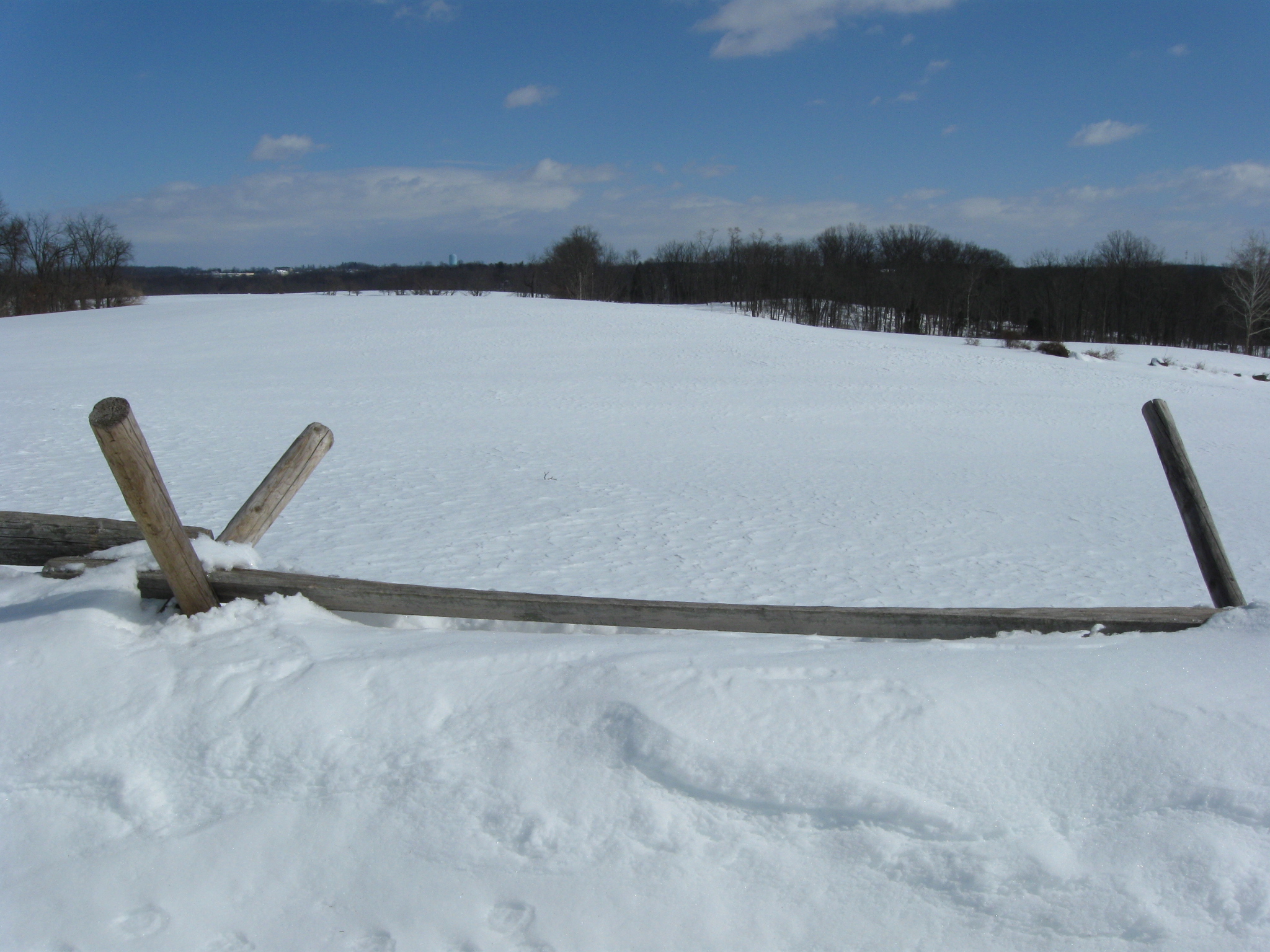
We were thinking about walking towards Culp’s Hill along East Confederate Avenue, but decided it might be fairly difficult without a lot of monuments to see for a while. Culp’s Hill is the mass of trees in the right background. The Culp’s Hill observation tower is visible above the trees. This view was taken facing southeast at approximately 10:00 AM on Sunday, February 14, 2010.
So we moved towards East Cemetery Hill near the Gettysburg Middle School, which is out of sight on the left. The Borough of Gettysburg had plowed their roads… This view was taken facing southeast at approximately 10:00 AM on Sunday, February 14, 2010.
… but the National Park Service had not yet plowed Wainwright Avenue. This view was taken facing southeast at approximately 10:00 AM on Sunday, February 14, 2010.
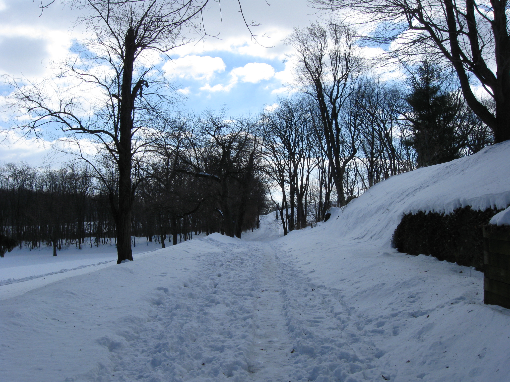
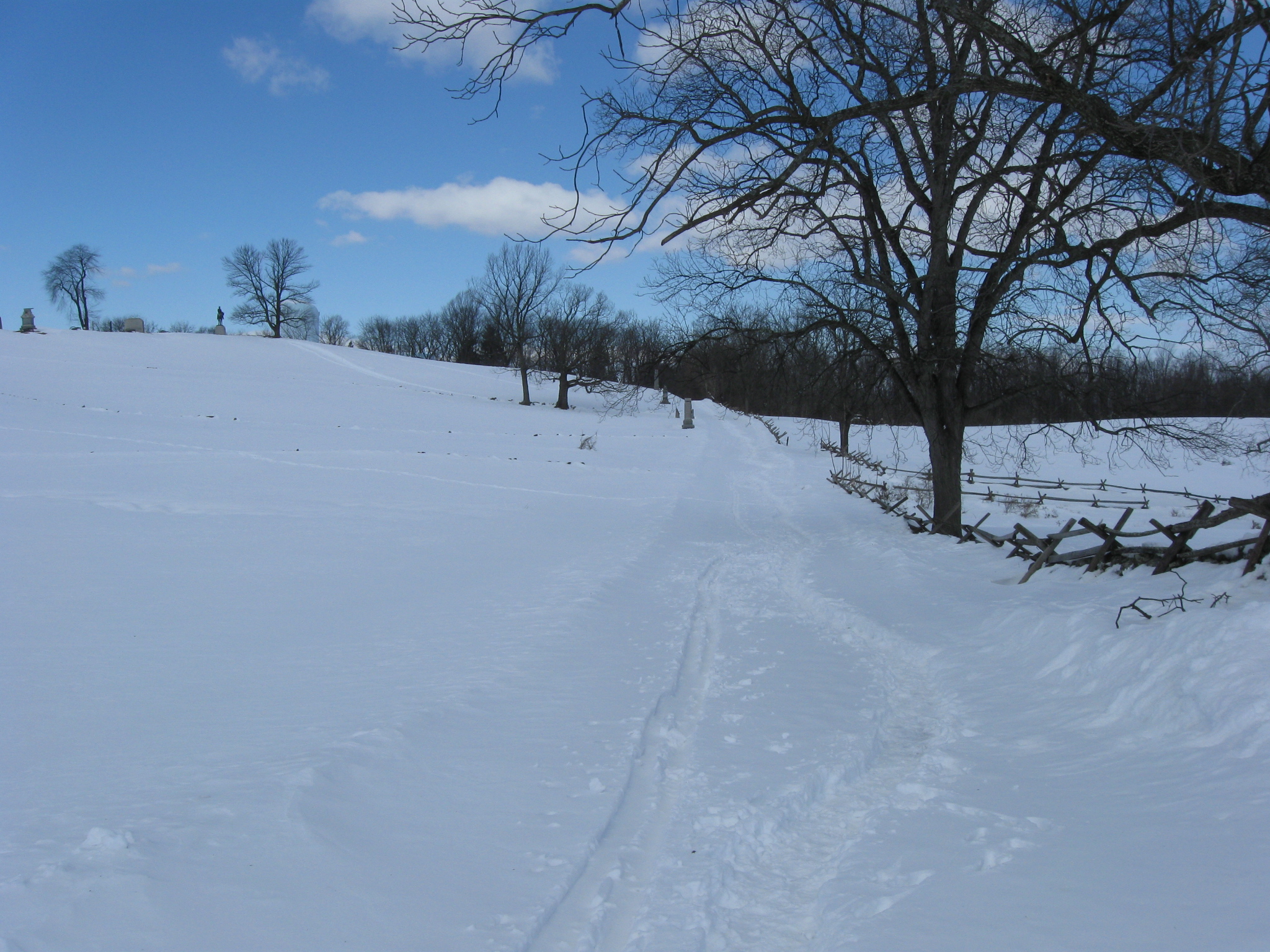
We thought we’d walk along here for a while to see what we could see, and to see how far we would get. This view was taken facing southeast at approximately 10:00 AM on Sunday, February 14, 2010.
Taking a look back from the direction that we began. The Middle School is in the right background. This view was taken facing northwest at approximately 10:00 AM on Sunday, February 14, 2010.
Gettysburg High School’s Warrior “Stadium.” Colonel Isaac Avery, a Confederate brigade commander from North Carolina, may have been mortally wounded in this area. The water tank at the site of Camp Letterman is in the background. This view was taken facing northeast at approximately 10:00 AM on Sunday, February 14, 2010.
And we’re still moving towards the east slope of East Cemetery Hill. This view was taken facing southeast at approximately 10:00 AM on Sunday, February 14, 2010.
There were clumps of yellow snow to mark the areas where people walked their dog. We hope this is from their dog. This view was taken facing southeast at approximately 10:00 AM on Sunday, February 14, 2010.
The slope of East Cemetery Hill is coming into view in the right background. This view was taken facing southeast at approximately 10:00 AM on Sunday, February 14, 2010.
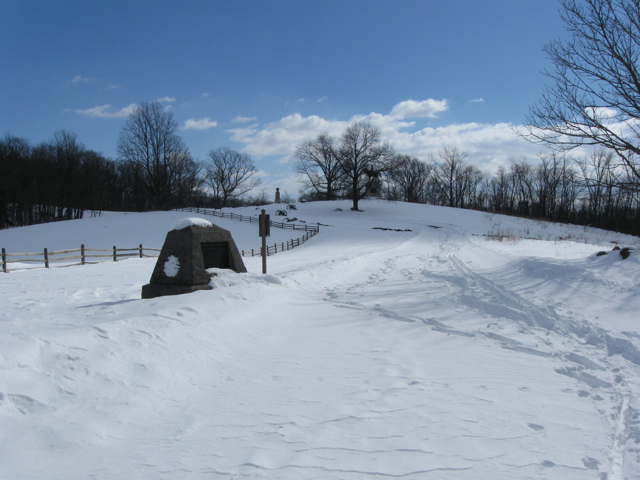
The monument to the 25th and 75th Ohio Infantry Regiments. This view was taken facing south at approximately 10:00 AM on Sunday, February 14, 2010.
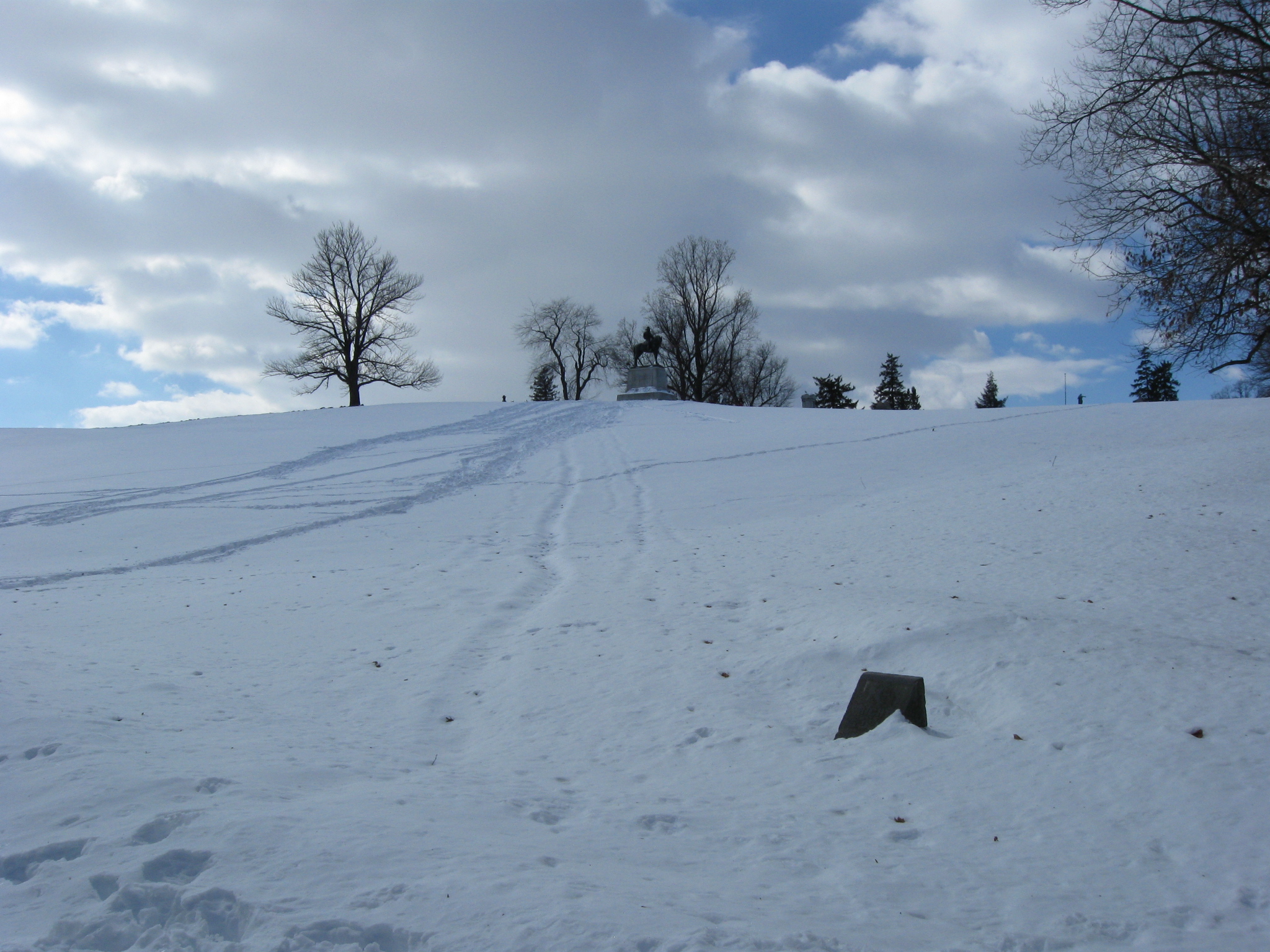
The right flank marker for the 75th Ohio is on the right. The equestrian statue to Major General Oliver O. Howard is at the top of East Cemetery Hill. This view was taken facing south at approximately 10:00 AM on Sunday, February 14, 2010.
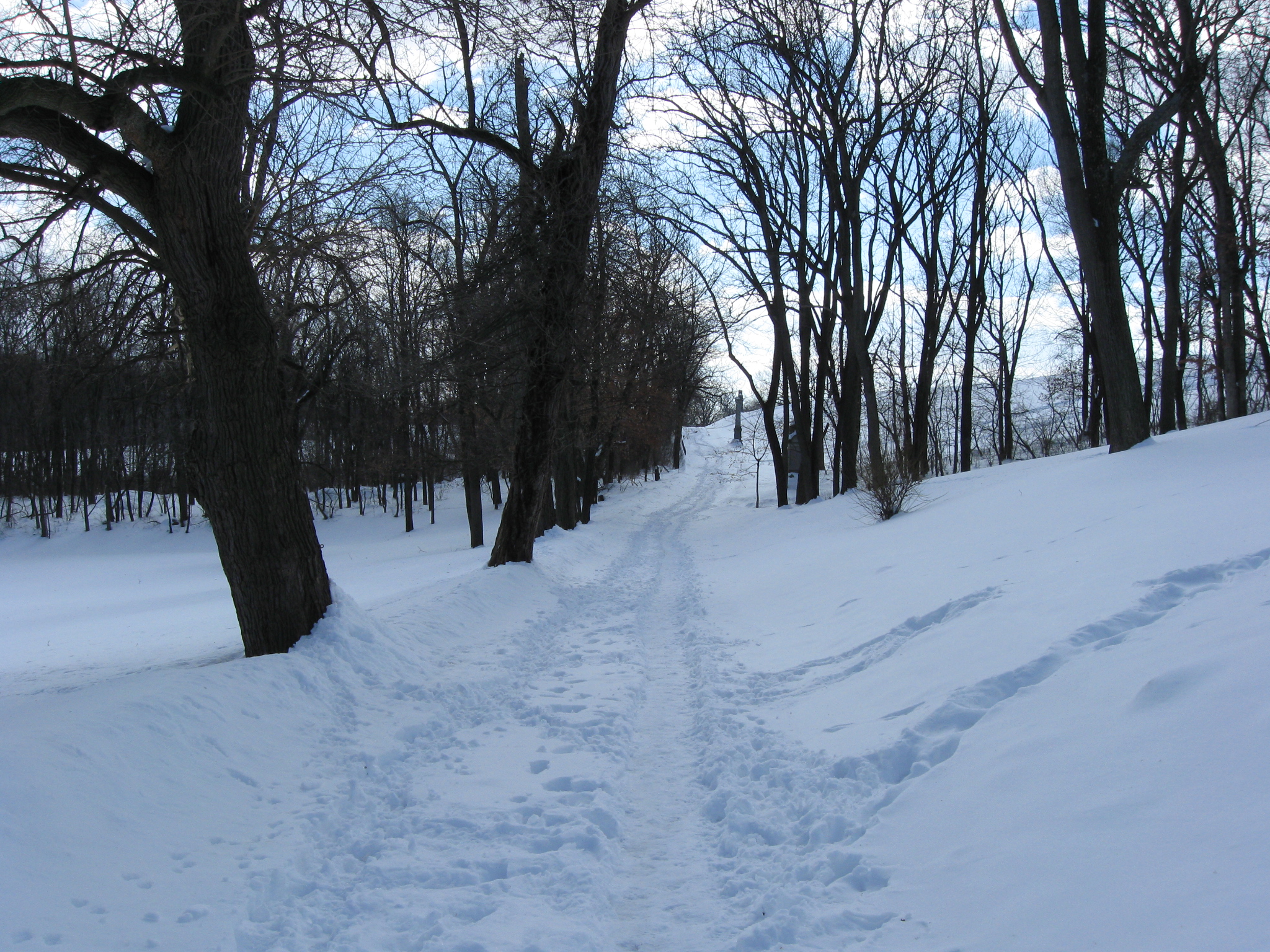
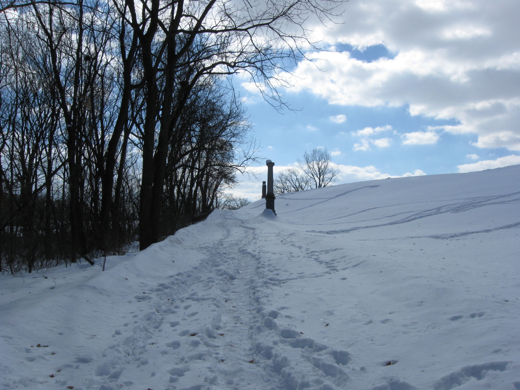
Continuing along Wainwright Avenue. This view was taken facing southeast at approximately 10:00 AM on Sunday, February 14, 2010.
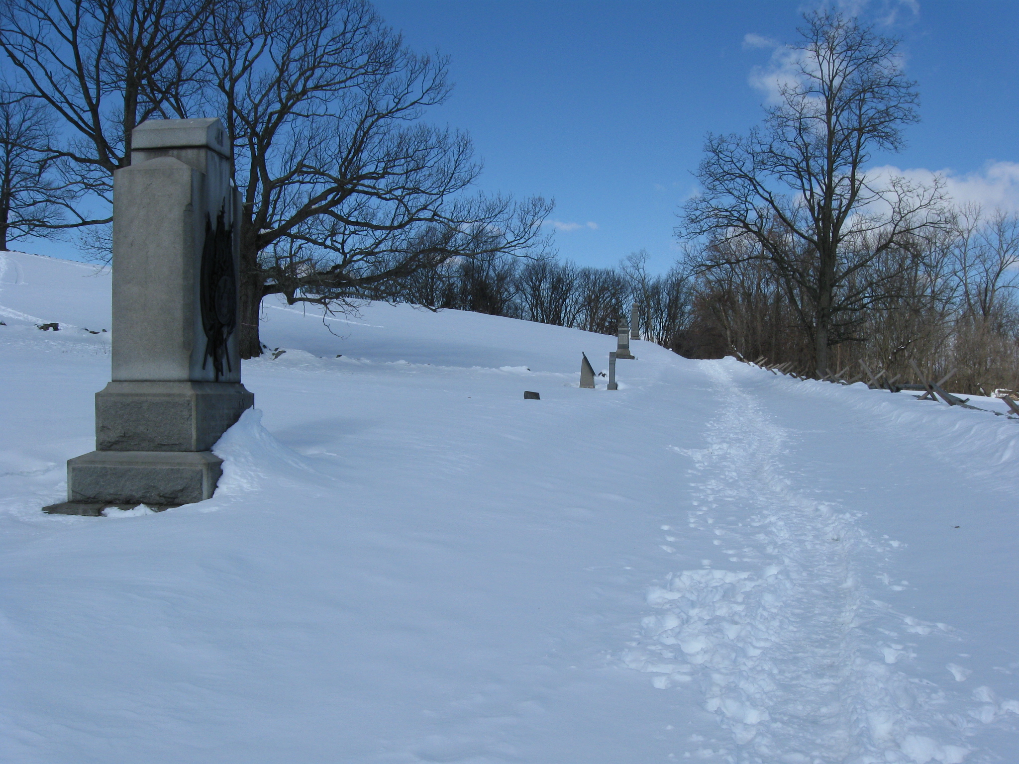
The monument to the 17th Connecticut Infantry Regiment. This view was taken facing northwest at approximately 10:00 AM on Sunday, February 14, 2010.
The equestrian monument to General Howard is at the top of the hill. A pattern of little critter tracks is in the foreground. This view was taken facing southwest at approximately 10:00 AM on Sunday, February 14, 2010.
Continuing on Wainwright towards Culp’s Hill. This view was taken facing southeast at approximately 10:00 AM on Sunday, February 14, 2010.
The monument to the 54th New York Infantry Regiment. The Howard equestrian statue is in the left background. The light green, landmark, Cemetery Hill water tank is in the right background. This view was taken facing northwest at approximately 10:00 AM on Sunday, February 14, 2010.
Looking towards Benner’s Hill, which is below and to the right of the light green water tank at Camp Letterman, or Hospital Hill. This view was taken facing northeast at approximately 10:00 AM on Sunday, February 14, 2010.
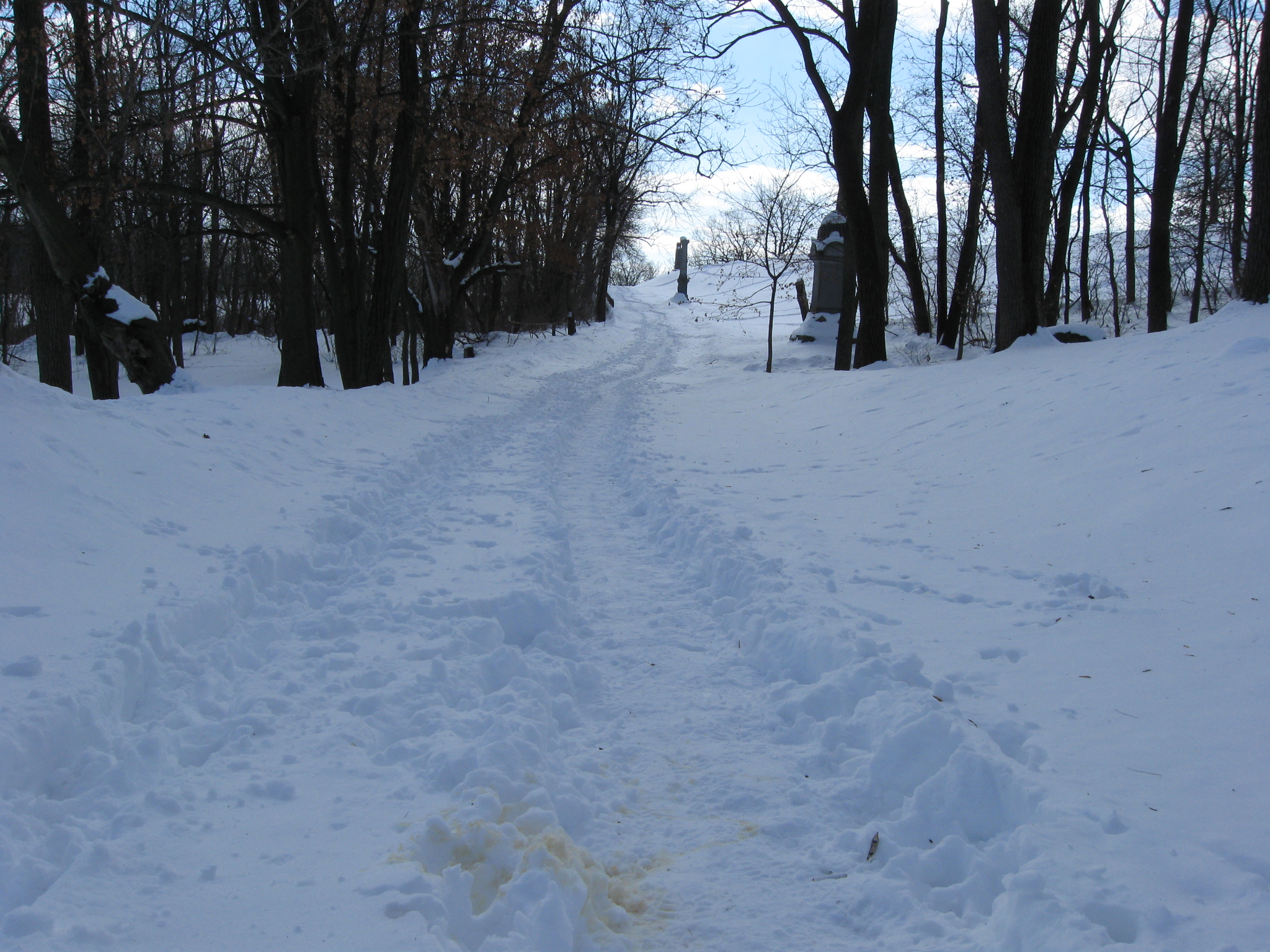
Looking back to where we came. This view was taken facing northwest at approximately 10:00 AM on Sunday, February 14, 2010.
Looking ahead towards McKnight’s Hill/Stevens’ Knoll, which is in the left background. This view was taken facing southeast at approximately 10:00 AM on Sunday, February 14, 2010.
The monument to the 68th New York Infantry Regiment. The equestrian statue to Major General Winfield Scott Hancock is in the left background. The equestrian statue to General Howard is in the right background. This view was taken facing southwest at approximately 10:00 AM on Sunday, February 14, 2010.
Advancing towards’s McKnight’s Hill in the left background. This view was taken facing southeast at approximately 10:00 AM on Sunday, February 14, 2010.
The McKnight House and the Comfort Inn are in the right background. This view was taken facing south at approximately 10:00 AM on Sunday, February 14, 2010.
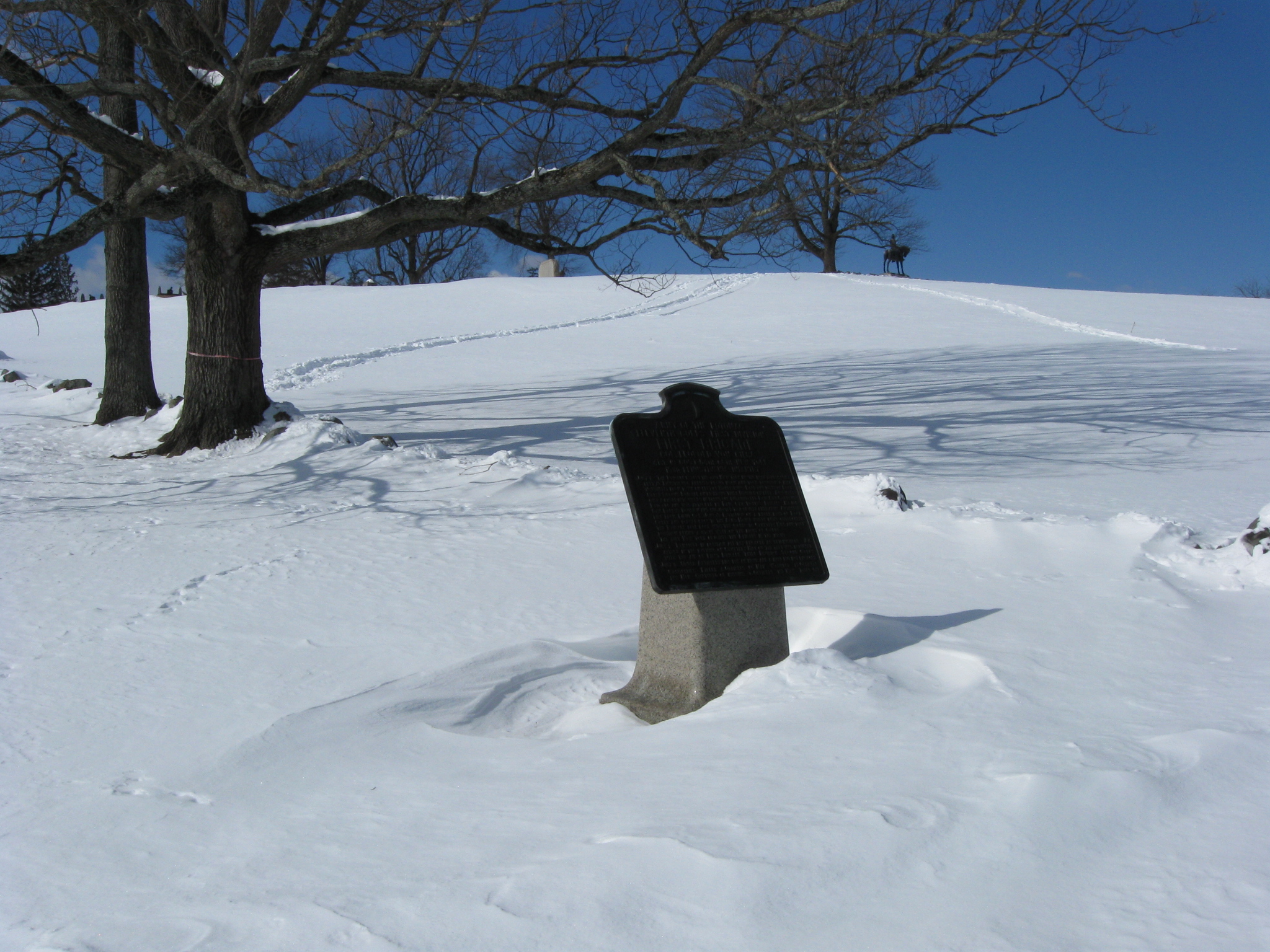
The marker for Leopold von Gilsa’s Brigade. This view was taken facing northwest at approximately 10:00 AM on Sunday, February 14, 2010.
Looking back from where we came. This view was taken facing northwest at approximately 10:00 AM on Sunday, February 14, 2010.
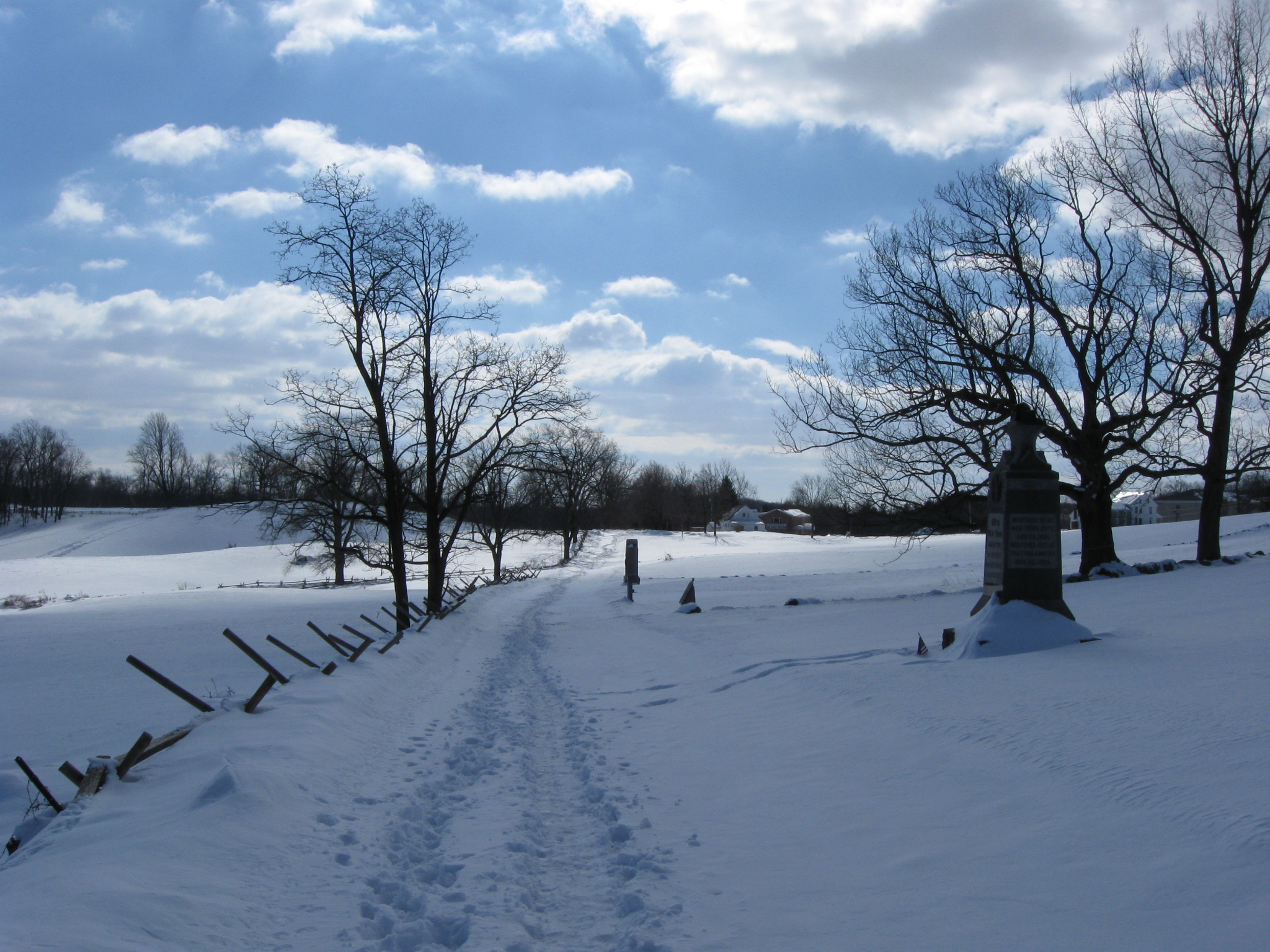
The monument to the 153rd Pennsylvania Infantry Regiment. This view was taken facing southwest at approximately 10:00 AM on Sunday, February 14, 2010.
The area where North Carolinians overran von Gilsa’s position (coming towards the camera) on the night of July 2, 1863. The Camp Letterman water tank is in the backgtround. This view was taken facing northeast at approximately 10:00 AM on Sunday, February 14, 2010.
The monument to the 41st New York Infantry Regiment. This view was taken facing south at approximately 10:00 AM on Sunday, February 14, 2010.
Looking back in the direction from which we came. This view was taken facing northwest at approximately 10:00 AM on Sunday, February 14, 2010.
Continuing our walk. McKnight’s Hill is in the left background. The buildings at the Battlefield Military Museum are in the right background. This view was taken facing southeast at approximately 10:00 AM on Sunday, February 14, 2010.
A snow covered stone wall… This view was taken facing west at approximately 10:00 AM on Sunday, February 14, 2010.
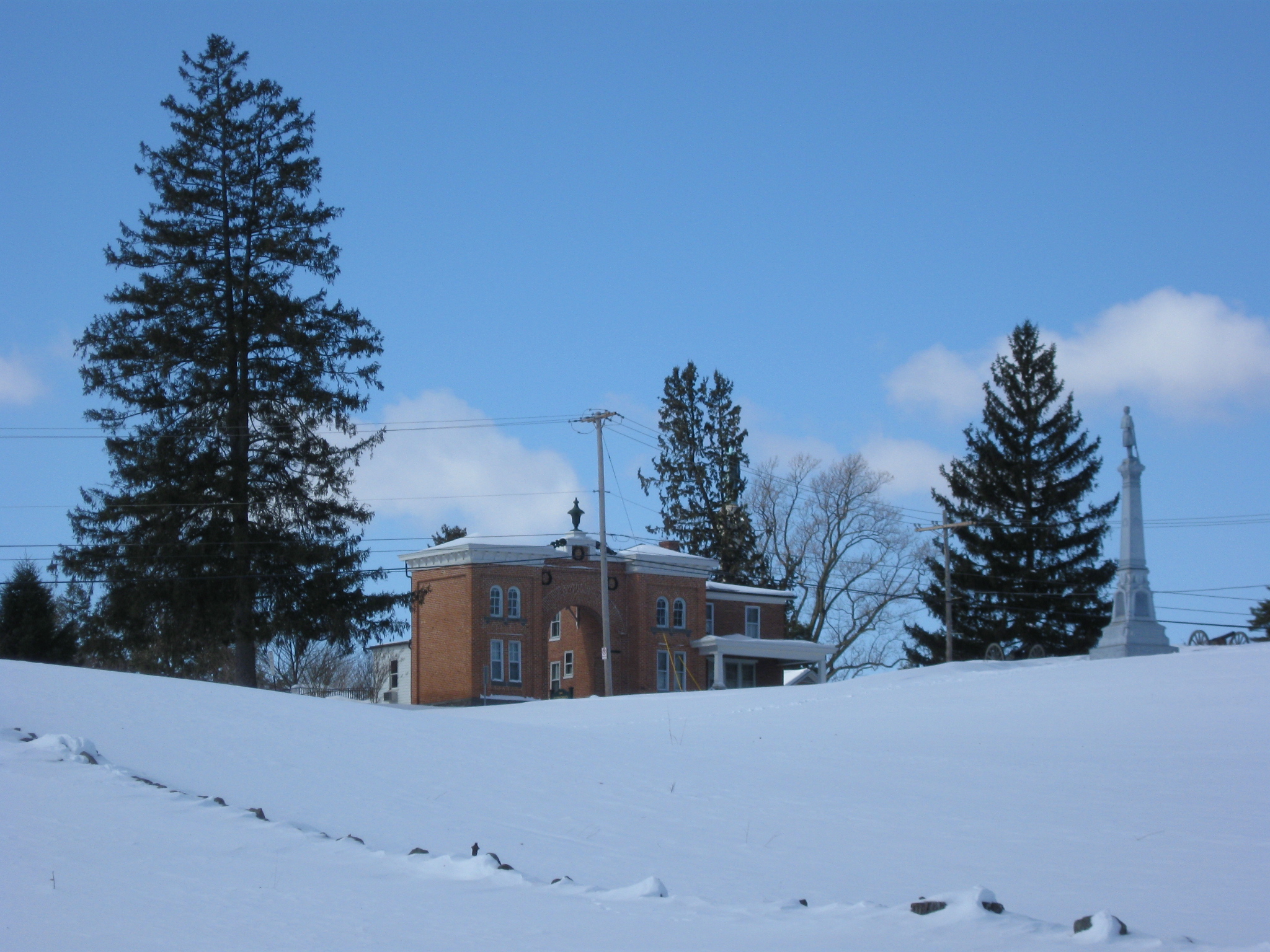
… and the Evergreen Cemetery Gate House. This view was taken facing west at approximately 10:00 AM on Sunday, February 14, 2010.
The direction from which we came. The Cemetery Hill water tank is in the left background. This view was taken facing northwest at approximately 10:00 AM on Sunday, February 14, 2010.
McKnight’s Hill/Stevens’ Knoll is in the center background. The equestrian statue to Major General Henry Slocum sits atop McKnight’s Hill. This view was taken facing southeast at approximately 10:00 AM on Sunday, February 14, 2010.
Menchey’s Springs is at the bottom of the slope… This view was taken facing northeast at approximately 10:00 AM on Sunday, February 14, 2010.
… about right here. This view was taken facing northeast at approximately 10:00 AM on Sunday, February 14, 2010.
We’ll take a look in a couple of directions from this point. First the direction from which we came… This view was taken facing northwest at approximately 10:00 AM on Sunday, February 14, 2010.
… Evergreen Cemetery… This view was taken facing west at approximately 10:00 AM on Sunday, February 14, 2010.
The McKnight House and Comfort Inn are in the right background. They sit along the Baltimore Pike. This view was taken facing southwest at approximately 10:00 AM on Sunday, February 14, 2010.
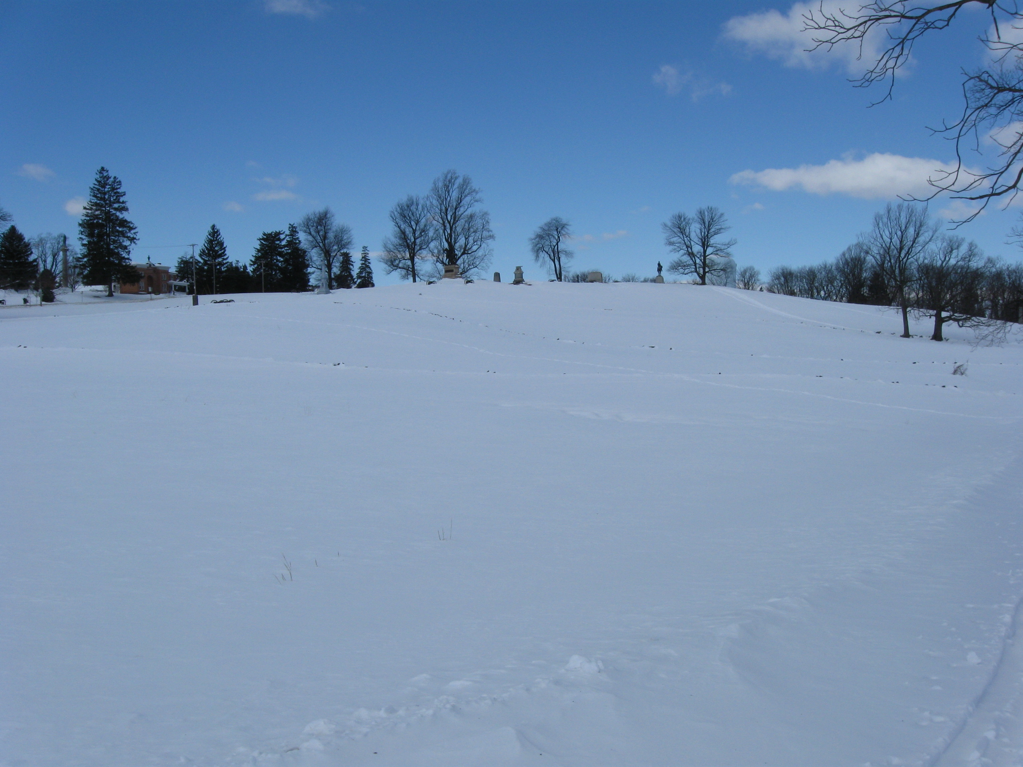
The top of East Cemetery Hill. The red brick Evergreen Cemetery Gatehouse is in the left background. This view was taken facing northwest at approximately 10:00 AM on Sunday, February 14, 2010.
We wanted this shot to give you an idea why the Confederates were able to briefly overrun Cemetery Hill the evening of July 2nd. Sure it was confusing at night, but the topography helped hide the Confederates from the Union soldiers at the top of the hill. The Union soldiers were at the top of the hill, not the military crest (the highest point from which you can see everything below you without any “blind spots.” Because the hill goes out to the east (right) before it slopes down (more of a convex slope, than a concave slope), the Union soldiers at the top of the hill had a blind spot from the Confederates attacking from right to left, up the slope of the hill. The Union soldiers along Brickyard Lane/Wainwright Avenue were also poorly placed. Again, they were not on the military crest. This view was taken facing northwest at approximately 10:00 AM on Sunday, February 14, 2010.
The junction of Wainwright Avenue and Slocum Avenue. We are looking “down” Slocum Avenue to where it meets the Baltimore Pike. The Comfort Inn is in the left background. The McKnight House is in the center background. This view was taken facing southwest at approximately 10:00 AM on Sunday, February 14, 2010.
Next time we’ll continue along Slocum Avenue towards McKnight’s Hill/Stevens’ Knoll. The monument to the 33rd Massachusetts Infantry regiment is on the left. This view was taken facing southeast at approximately 10:00 AM on Sunday, February 14, 2010.