Struggle for the Bliss Farm Part 1 With Licensed Battlefield Guide Woody Christ
June 17, 2009
Gettysburg Licensed Battlefield Guide Elwood “Woody” Christ is the author of the book, Over a Wide, Hot,…Crimson Plain: The Struggle for the Bliss Farm at Gettysburg, July 2nd and 3rd, 1863. He is the host for our series on the fighting for the Bliss Farm. Woody is standing on Seminary Ridge near the North Carolina State Monument, pointing out the Bliss Farm. It is the small dark trees approximately halfway across the field. This view was taken facing west at approximately 4:00 PM on Sunday, June 07, 2009.
Although many individuals know the fields of Pickett’s Charge, fewer know the action which took place in those fields around the Bliss Farm. Gettysburg Licensed Battlefield Guide Elwood “Woody” Christ begins a series on the struggle for the Bliss Farm. His book, Over a Wide, Hot,…Crimson Plain: The Struggle for the Bliss Farm at Gettysburg, July 2nd and 3rd, 1863 was published by Butternut and Blue in 1993. Woody is a Gettysburg College graduate, and has been a Licensed Battlefield Guide since 1982.
In today’s post we will concentrate on some terrain in the area of the Bliss Farm, specifically in what is now the subdivision, Colt Park.
This map shows the location of where our Bliss Farm videos were produced. Videos #1-#2 were taken near the Bryan Farm. Video #3 was taken near Gettysburg Hospital on Long Lane. This map was created facing north at approximately 8:30 PM on Wednesday, June 10, 2009.
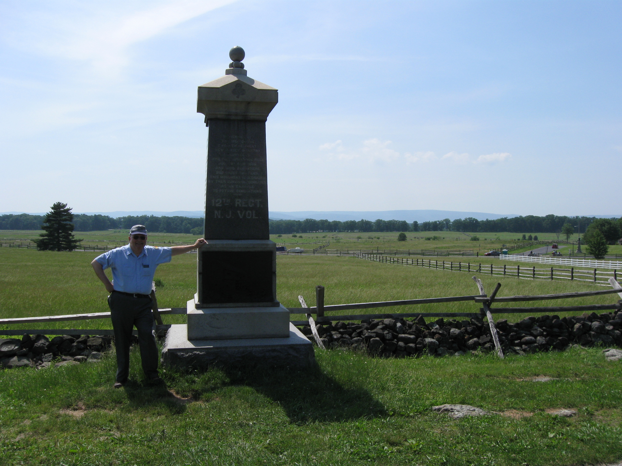
Gettysburg Licensed Battlefield Guide Woody Christ is standing near the monument to the 12th New Jersey Infantry Regiment near the Bliss Farm on Cemetery Ridge. This view was taken facing west at approximately 4:00 PM on Sunday, June 07, 2009.
In Video #1 Gettysburg Licensed Battlefield Guide Woody Christ introduces himself and explains that the bas relief on the 12th New Jersey monument isn’t exactly accurate. He also points out the Bliss Farm buildings. This view was taken facing west at approximately 4:00 PM on Sunday, June 07, 2009.
The Bliss Barn bas relief on the 12th New Jersey Monument. This view was taken facing west at approximately 4:00 PM on Sunday, June 07, 2009.
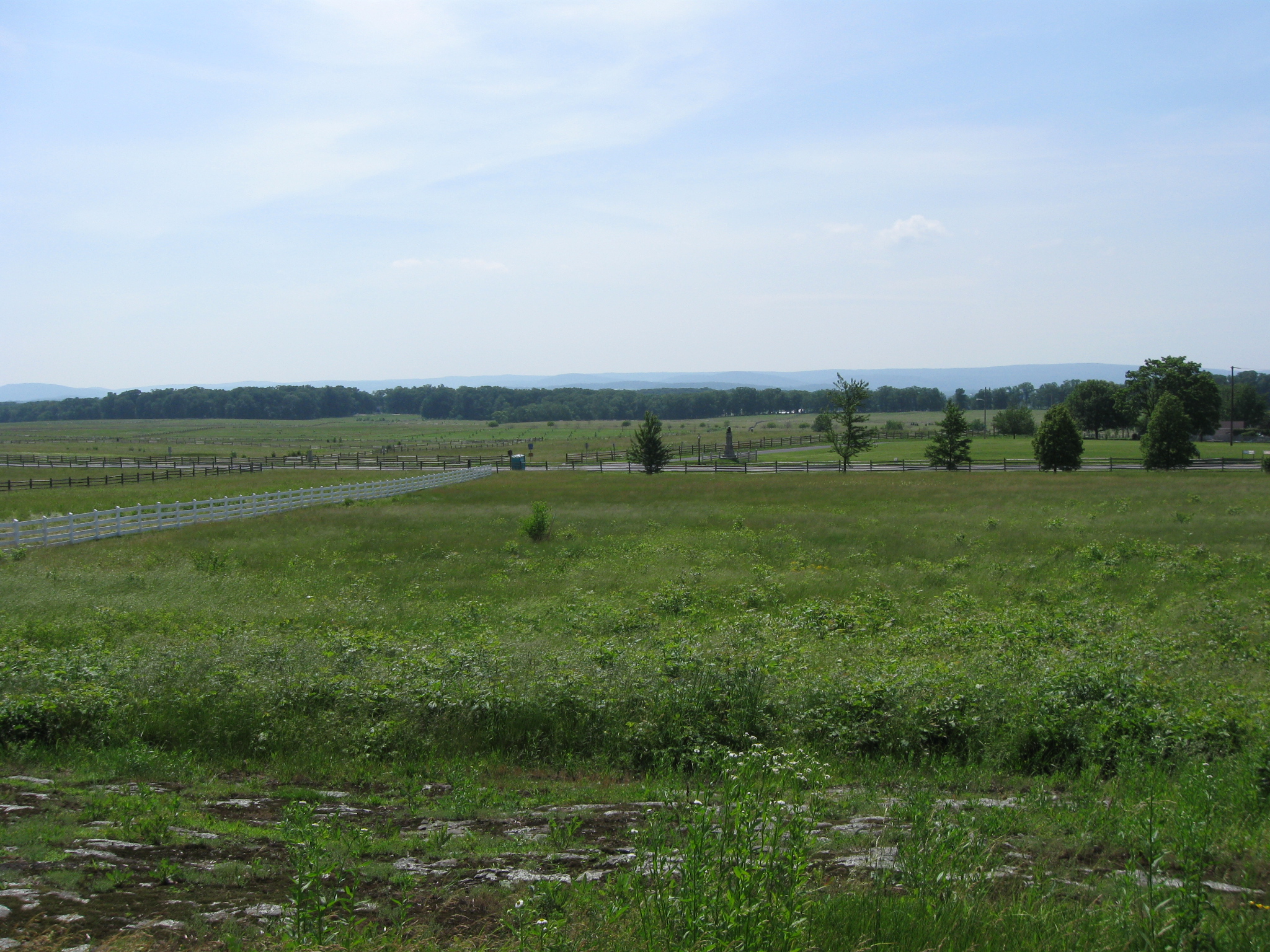
We are still standing on Cemetery Ridge. The Bliss Farm was approximately halfway between Cemetery Ridge and the Confederate line on Seminary Ridge. The Bliss buildings would have been in the area of the dark green trees (the remains of the Bliss Orchard) approximately halfway across the field. This view was taken facing west at approximately 4:00 PM on Sunday, June 07, 2009.
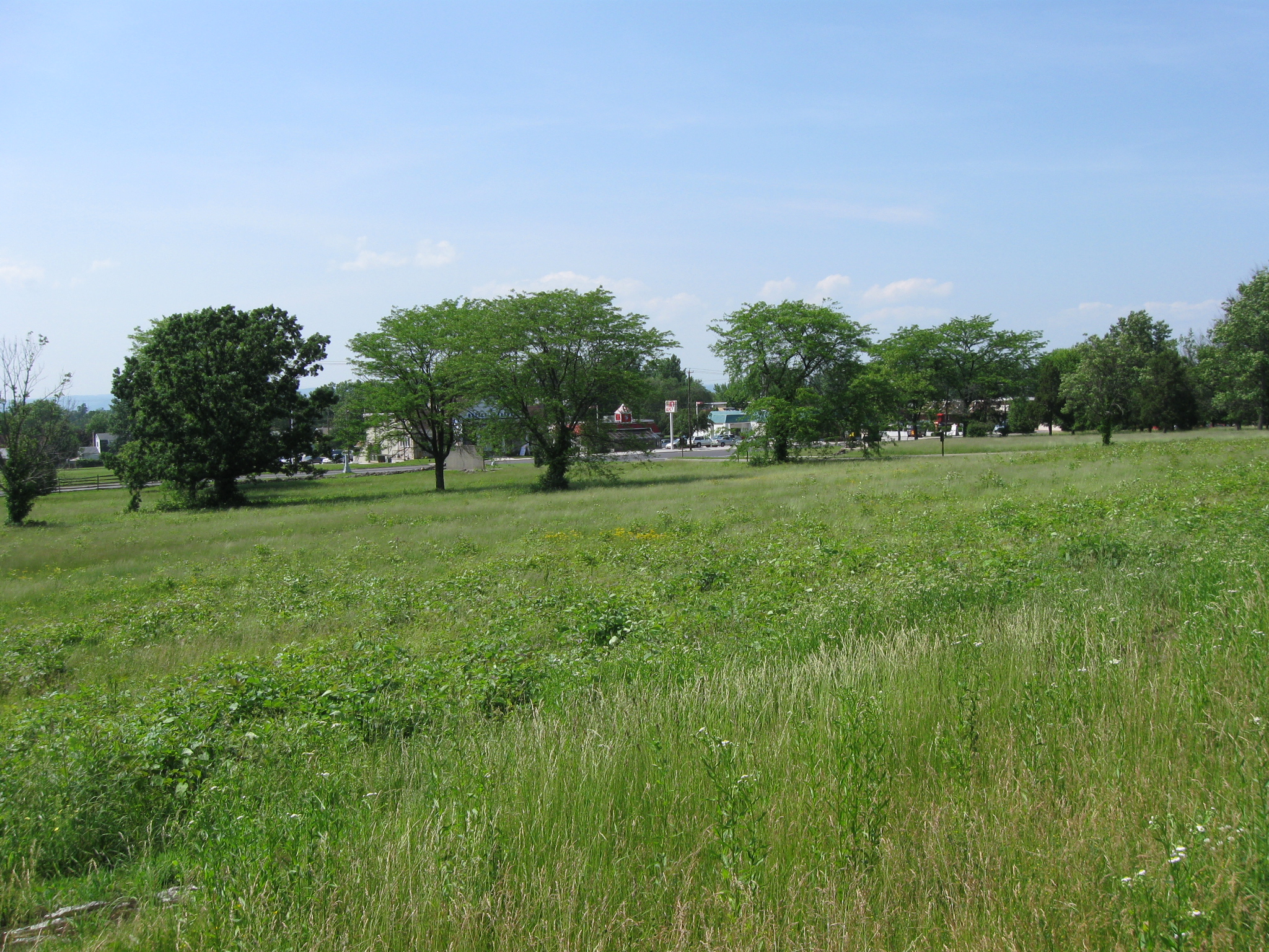
Woody has now moved north of the Bryan Farm buildings. Their location is marked by the white fence on the left. This view was taken facing southwest at approximately 4:00 PM on Sunday, June 07, 2009.
In Video #2 Gettysburg Licensed Battlefield Guide Woody Christ shows us some terrain that will be important during the fight for the Bliss Farm, and points out the location of the Emanuel Trostle House. This view was taken facing southwest to northwest at approximately 4:00 PM on Sunday, June 07, 2009.
This is a modern view of the east side of Steinwehr Avenue where the Emanuel Trostle Farm buildings were located across from the modern Kentucky Fried Chicken and McDonalds. This view was taken facing northwest at approximately 4:00 PM on Sunday, June 07, 2009.
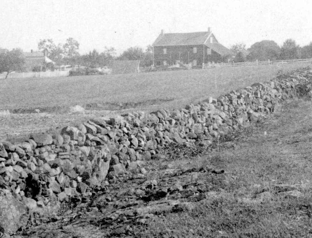
An 1880s view of the Emanuel Trostle farm buildings. This view was taken facing north circa the 1880s.
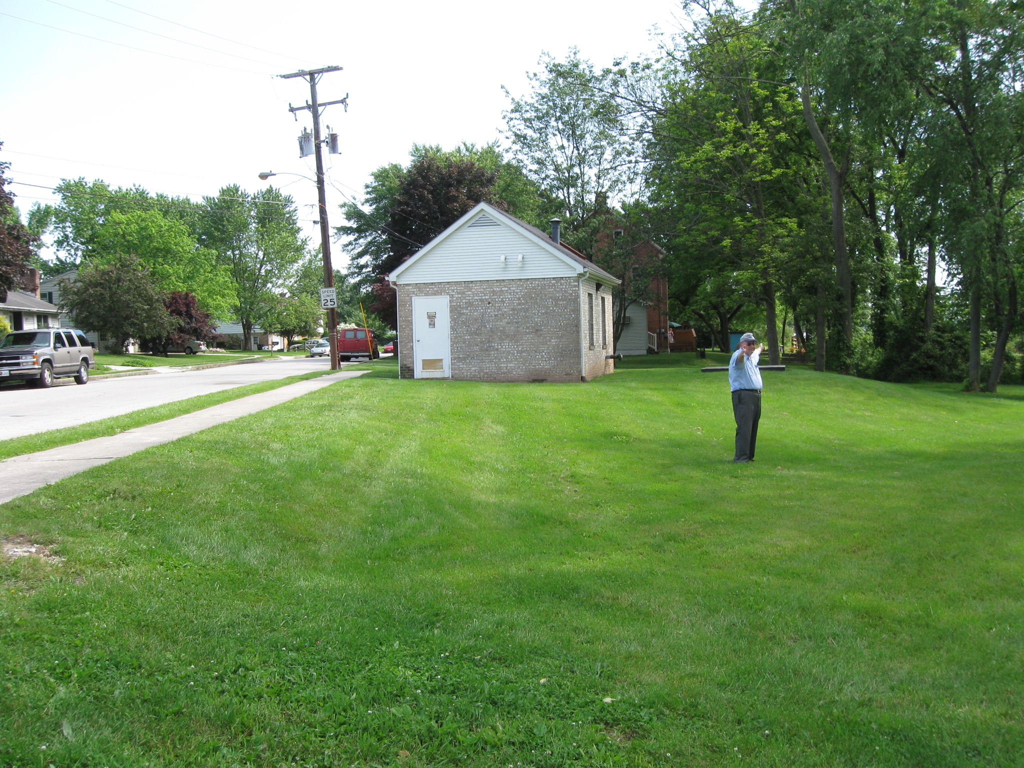
Woody is now standing on the southeast corner of Long Lane and Getty Street. The Gettysburg Hospital is in the left background. The light green/blue water tank on East Cemetery Hill is visible in the center background just to the right of Woody’s left shoulder. This view was taken facing northwest at approximately 4:00 PM on Sunday, June 07, 2009.
In Video #3 Gettysburg Licensed Battlefield Guide Woody Christ describes area on the north side of the “broad, flat knoll” and the original location of Long Lane. This view was taken facing northeast to north to south at approximately 4:00 PM on Sunday, June 07, 2009.
Woody is now standing in the area where modern Long Long deviates from historic Long Lane. Woody is showing us the route of historic Long Lane. See our previous post on Long Lane on June 9, 2009. This view was taken facing northwest at approximately 4:00 PM on Sunday, June 07, 2009.
To see other posts by Gettysburg Licensed Battlefield Guides,click here.