Historic Long Lane Partially Restored by NPS and Friends Fence Building Volunteers
June 9, 2009
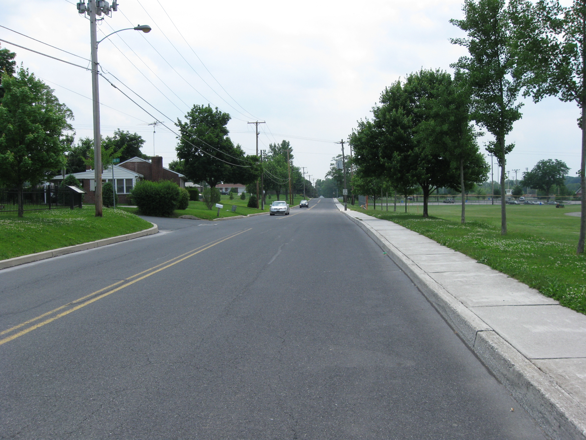
The northern section of Long Lane is this modern street, which is still called Long Lane. This view was taken facing southwest at approximately 2:00 PM on Monday, June 8, 2009.
Over One Mile of Fences Constructed on the Pickett’s Charge Fields on June 8, 2008.
New Fences Block Easy Access to Well-Known Civil War Photograph Area on June 19, 2008.
McMillan Apple Orchard Preparation on September 23, 2008.
McMillan Apple Orchard: The Preparation Continues on September 24, 2008.
Peach Orchard and Millerstown Road Fence Updates on April 29, 2009.
McMillan Apple Orchard Update on May 6, 2009.
Fence Building and Painting at the Friends of Gettysburg Volunteer Workday on June 6, 2009.
This map shows the current Long Lane in Colt Park and the historic Long Lane in red. So now there is a row of houses in Colt Park between the two Long Lanes. This map was created facing north at approximately 9:00 PM on Monday, June 8, 2009.
All of this street which you can see stretching ahead of you in this picture of modern Long Lane sits on the original road bed of Long Lane. This view was taken facing southwest at approximately 2:00 PM on Monday, June 8, 2009.
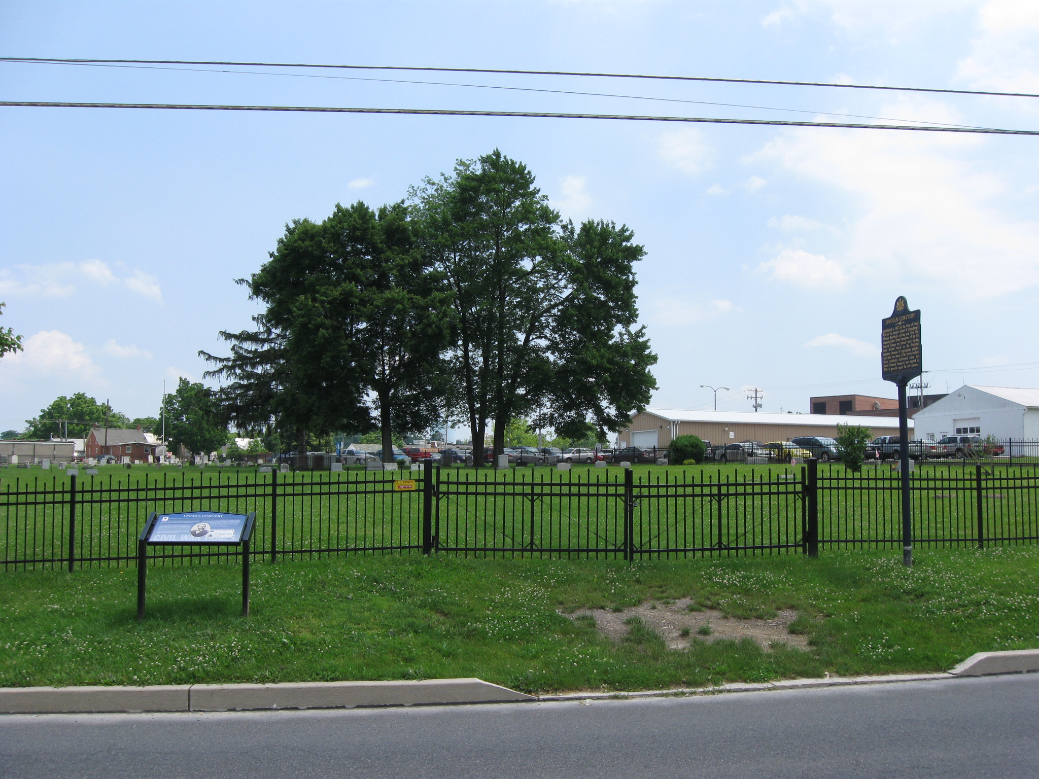
To give you an idea of where we are, the African-American Lincoln Cemetery is to the left… This view was taken facing east at approximately 2:00 PM on Monday, June 8, 2009.
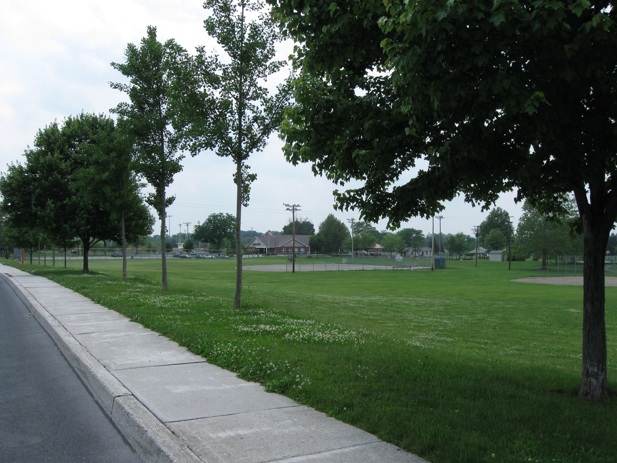
… and the Gettysburg Recreation Park is to the right. This view was taken facing southwest at approximately 2:00 PM on Monday, June 8, 2009.
At the intersection of Long Lane with Queen Street, the Rick Weikert Field is on the right side of Long Lane. Seminary Ridge is the far tree line in the background. This view was taken facing west at approximately 2:00 PM on Monday, June 8, 2009.
Here’s the intersection at Long Lane and Queen Street. Ahead of us modern Long Lane starts going to the left, or south. However, that is not the area in which the historic Long Lane was located. This view was taken facing southwest at approximately 2:00 PM on Monday, June 8, 2009.
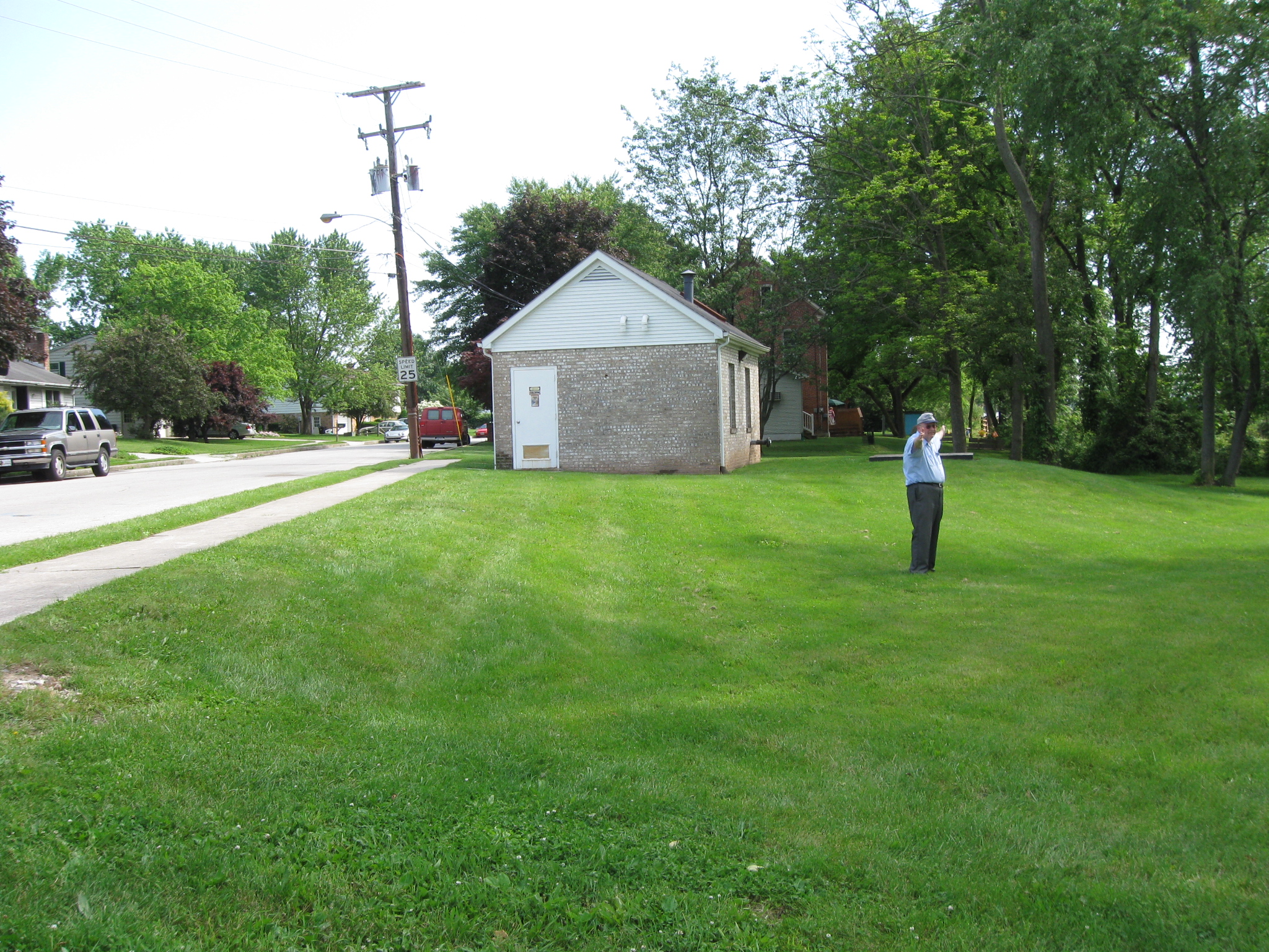
Sunday afternoon, Gettysburg Licensed Battlefield Guide Elwood “Woody” Christ and ourselves were working on his upcoming post on the Struggle for the Bliss Farm. The action in the area of Long Lane will be important to the Bliss Farm action. Here Woody shows us how the historic Long Lane went to the right of the small white building (pumping station) and behind (west of) this area of the Colt Park subdivision. The historic road was roughly located in the direction in which his arms are stretched. This view was taken facing southwest at approximately 4:15 PM on Sunday, June 7, 2009.
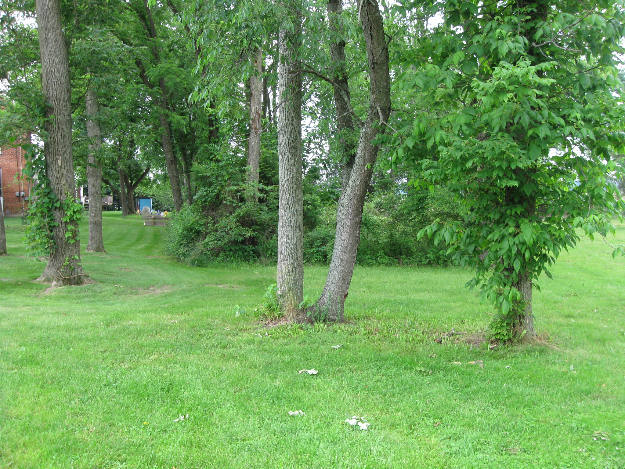
Long Lane would have gone through the patch of woods and undergrowth. This view was taken facing southwest at approximately 2:00 PM on Monday, June 8, 2009.
This patch of woods is on the property of the Gettysburg Recreation Park so the fences marking the historic Long Lane will not be located here. This vegetation in this area is pretty thick, so we have to walk around it approximately 80 yards before we hit National Park Service Property. This view was taken facing southwest at approximately 2:00 PM on Monday, June 8, 2009.
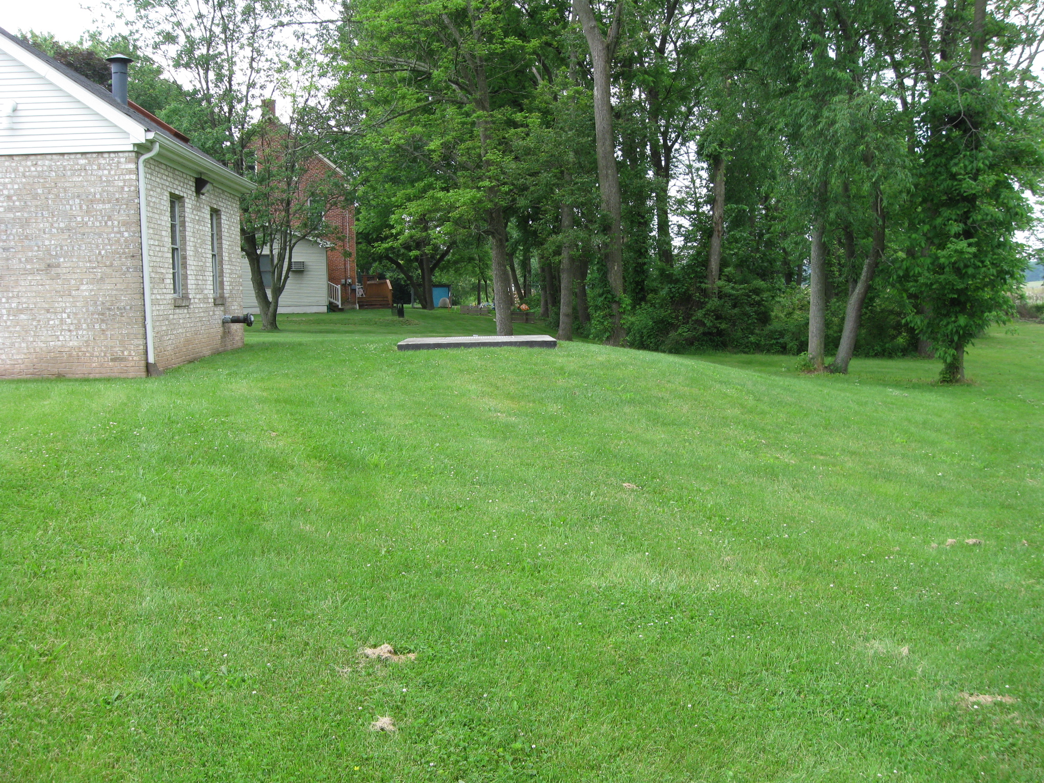
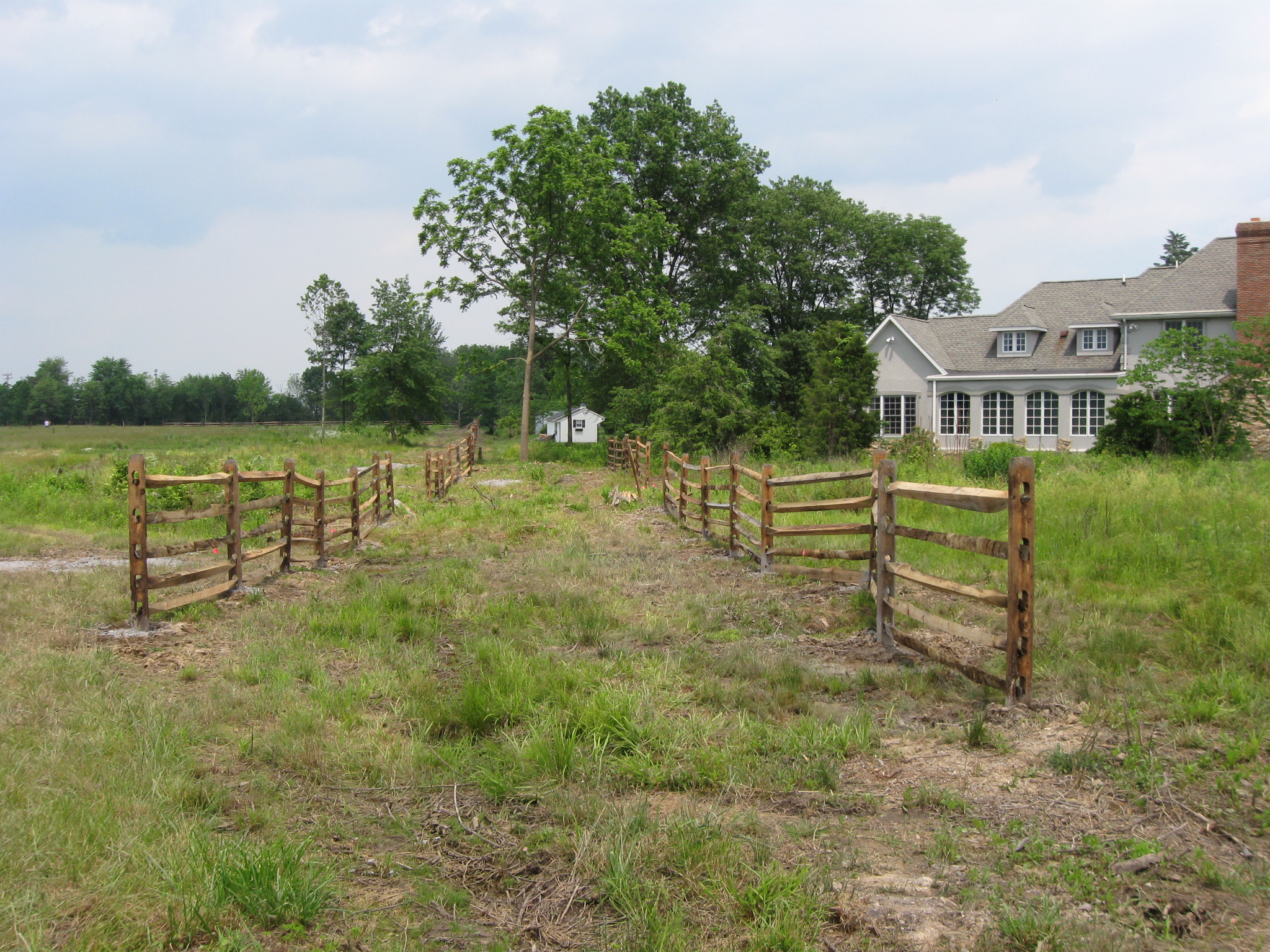
Here we are. This area had been heavily wooded until a couple of years ago when the National Park Service cut out the trees screening the structures at Colt Park from Seminary Ridge. This is one of the reasons the trees were cut down, to restore the historic fences and fence lots in this area. That certainly doesn’t mean the Colt Park neighbors are pleased, however. This view was taken facing east at approximately 2:00 PM on Monday, June 8, 2009.
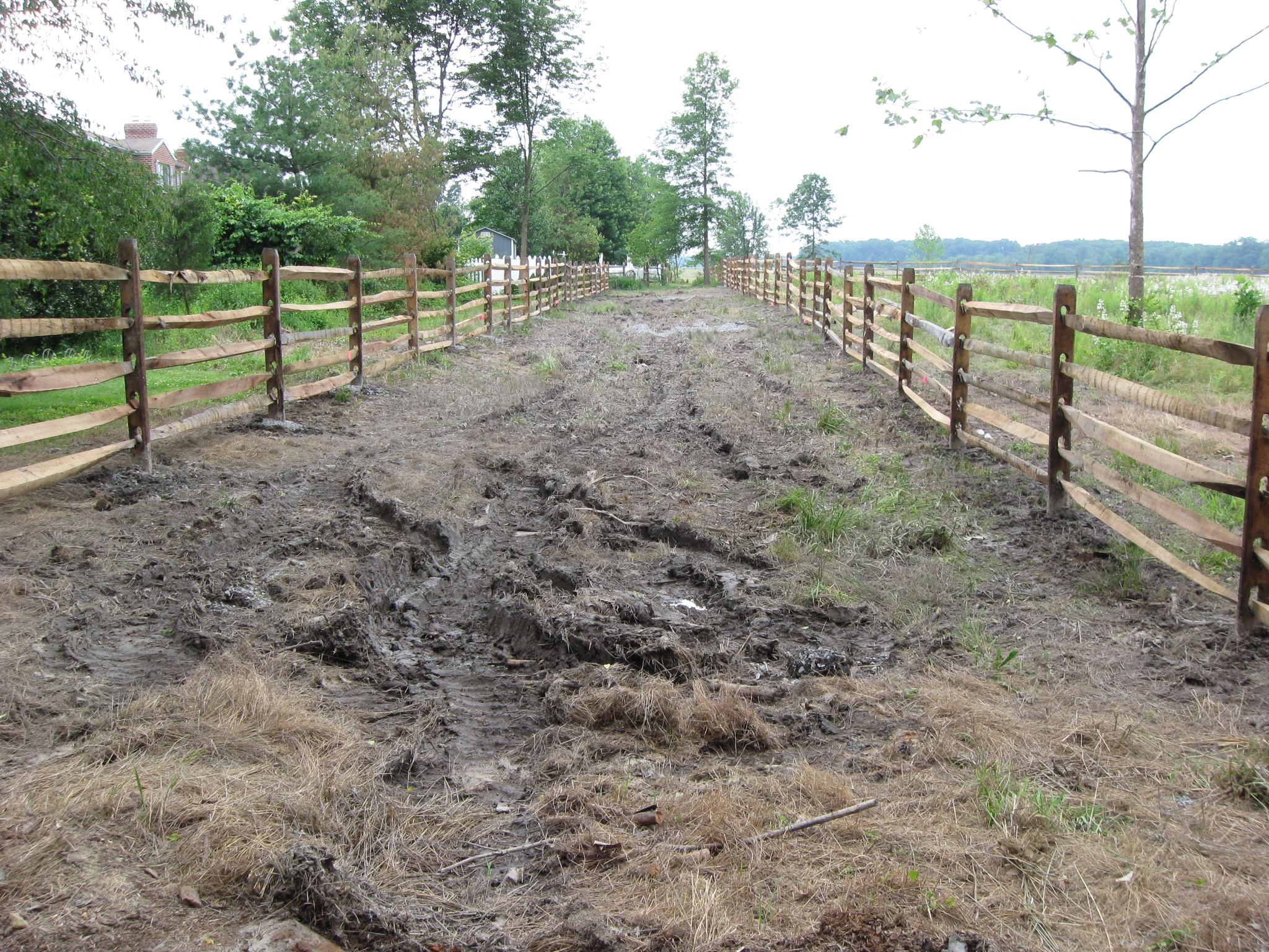
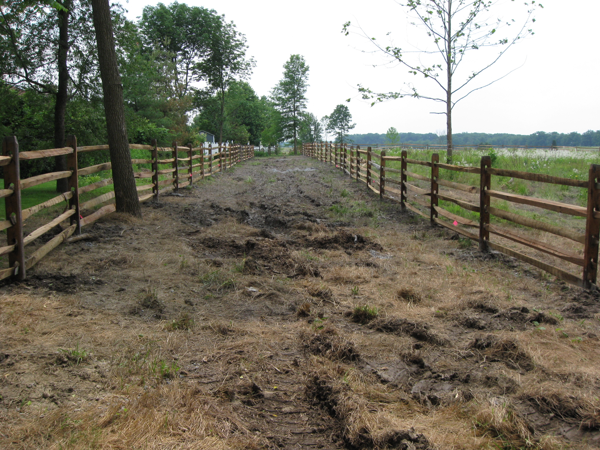
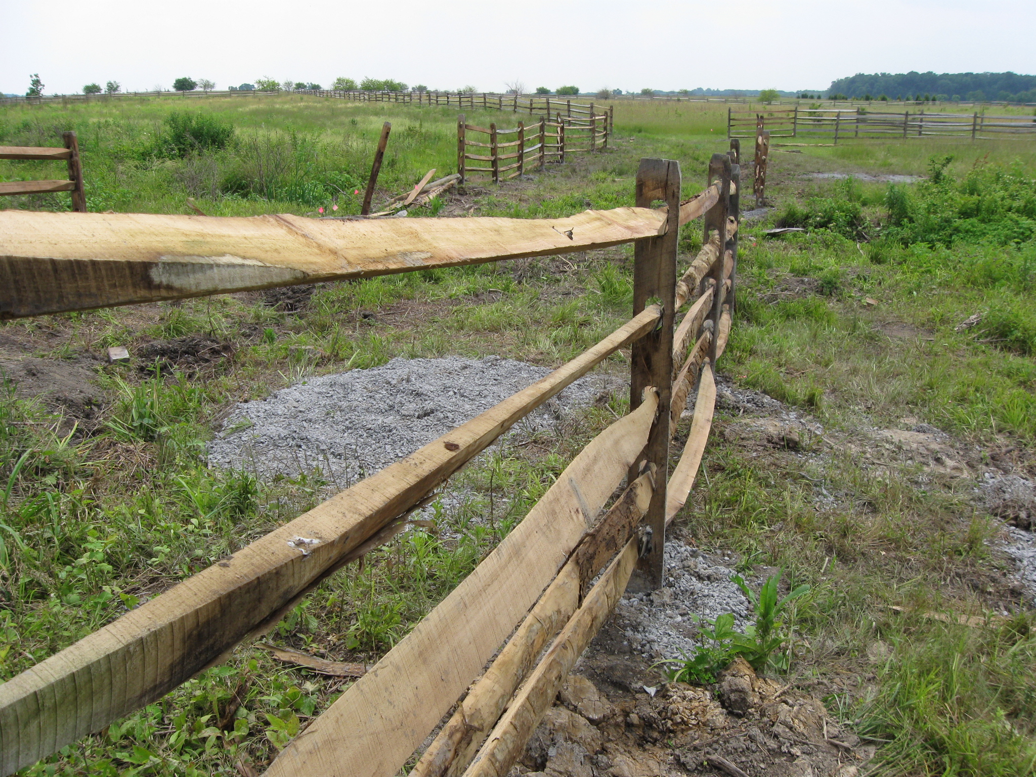
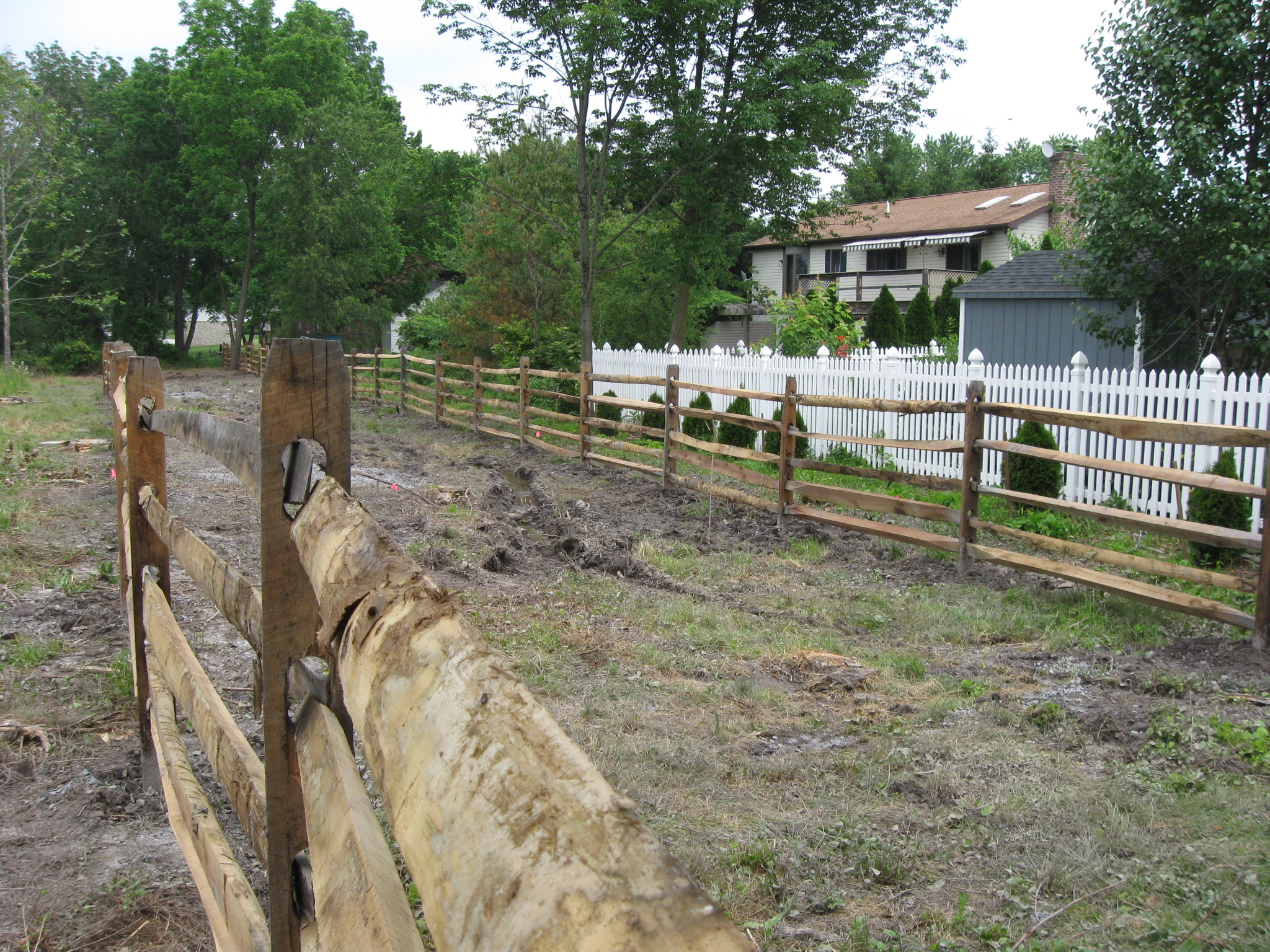
At the northern section of the historic reconstruction of Long Lane, there were post and rail fences on either side of what the Park Service says was the lane. This view was taken facing southeast at approximately 2:00 PM on Monday, June 8, 2009.
We have to admit we were a little surprised by this location. Long Lane was known in some accounts as the “sunken road” in which Confederates from Pender’s Division, and specifically Thomas’ Georgia Brigade were located. This view was taken facing southwest at approximately 2:00 PM on Monday, June 8, 2009.
However, except for the ruts in the road made by the heavy equipment in there this weekend, it is difficult to pick out any sunken depressions as one frequently sees in historic roadbeds. This view was taken facing southwest at approximately 2:00 PM on Monday, June 8, 2009.
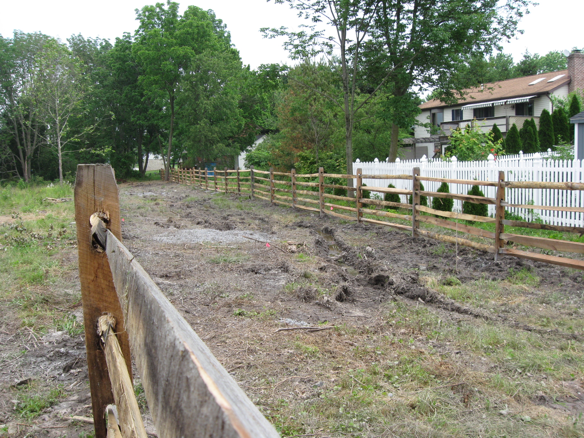
The purpose of Long Lane was to give Gettysburg residents access to their “out lots,” or what we would consider today to be large gardens, or “truck farms.” This view was taken facing south at approximately 2:00 PM on Monday, June 8, 2009.
Gettysburg residents frequently did not have enough space in their town lots for a garden, so they would rent lots in what we now call the Pickett’s Charge fields. This view was taken facing south at approximately 2:00 PM on Monday, June 8, 2009.
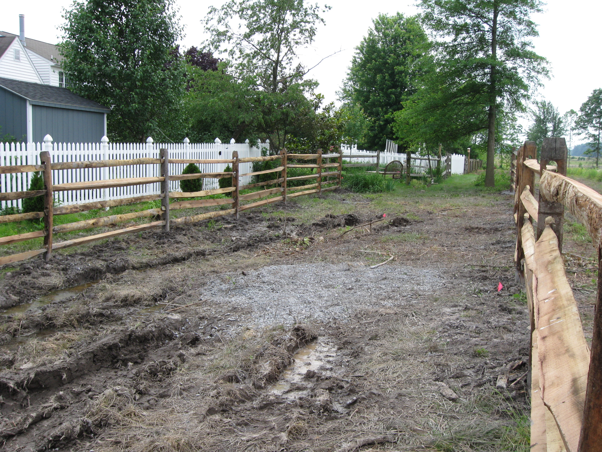
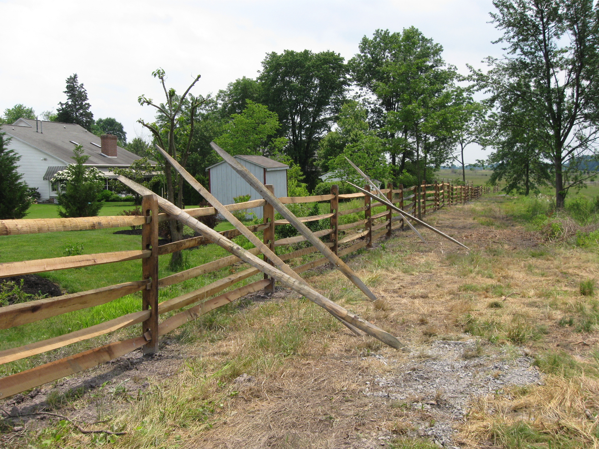
In this area the National Park Service property line does not extend into the old Long Lane, and the fence on the left (east) soon must end so that it won’t be on private property. This view was taken facing south at approximately 2:00 PM on Monday, June 8, 2009.
So we don’t want to throw off your direction too much, but now we’re looking back in the direction from which we came. The white picket fence is private property… This view was taken facing northeast at approximately 2:00 PM on Monday, June 8, 2009.
…as is this unpainted picket fence. This view was taken facing south at approximately 2:00 PM on Monday, June 8, 2009.
Near this location a fence starts heading towards Seminary Ridge and the west. This view was taken facing southwest at approximately 2:00 PM on Monday, June 8, 2009.
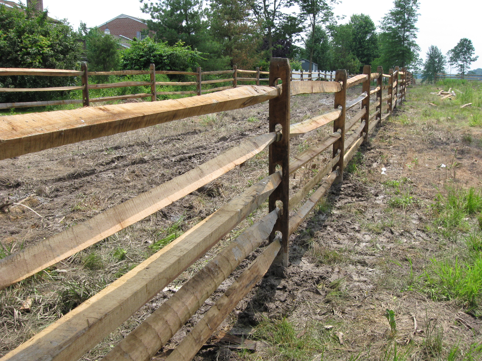
This fence actually leads to the northwest, to the McMillan House, which is in the trees on Seminary Ridge in the center background. It becomes a double row of fences closer to Seminary Ridge. This view was taken facing northwest at approximately 2:00 PM on Monday, June 8, 2009.
Here is the double row of McMillan Lane fences from south of the McMillan House looking back in our direction at Colt Park. This view was taken facing east at approximately 5:30 PM on Saturday, June 6, 2009.
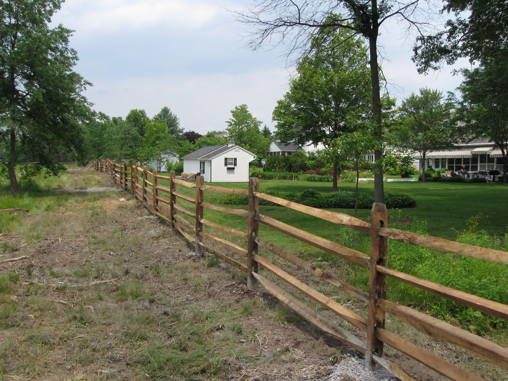
Back to Long Lane, and farther to the south, there is still only the west fence, which comes very close to private property. This view was taken facing south at approximately 2:00 PM on Monday, June 8, 2009.
This is also the only area where there is a hint of the road being sunken. This view was taken facing southwest at approximately 2:00 PM on Monday, June 8, 2009.
It is still a little sunken here, and we are approaching National Park Service property. The east fence along Long Lane is coming up on the left. This view was taken facing south at approximately 2:00 PM on Monday, June 8, 2009.
Long Lane is still to our left. This view was taken facing southwest at approximately 2:00 PM on Monday, June 8, 2009.
The small orchard in the background is part of the Bliss Farm. This view was taken facing southeast at approximately 2:00 PM on Monday, June 8, 2009.
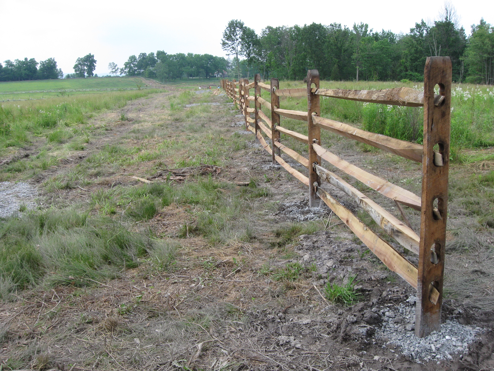
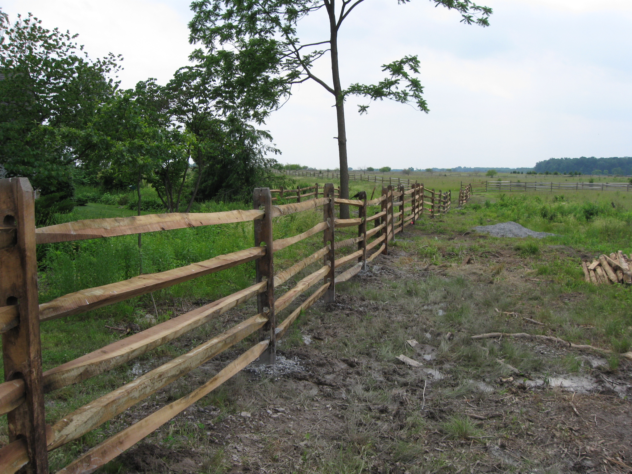
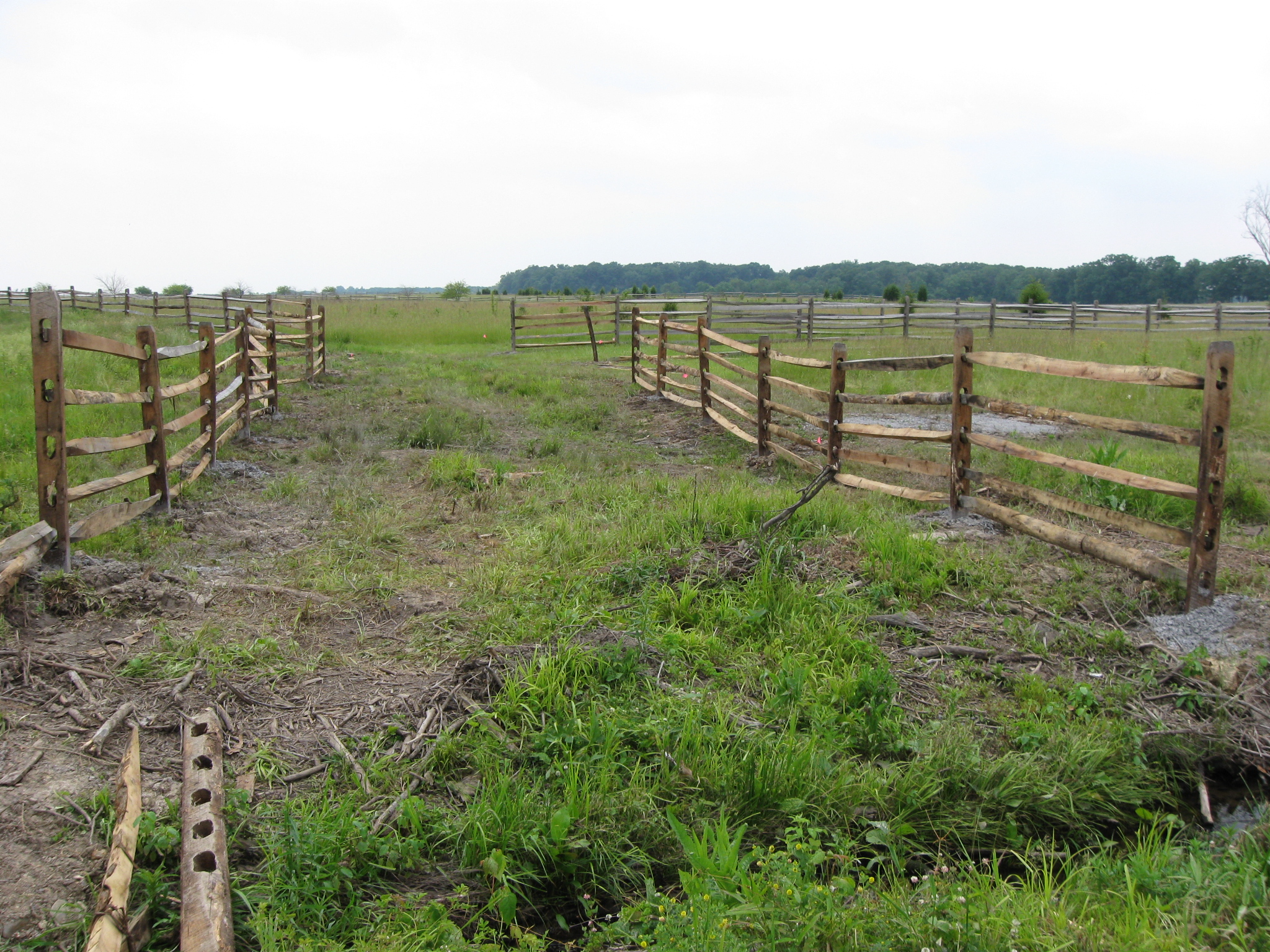
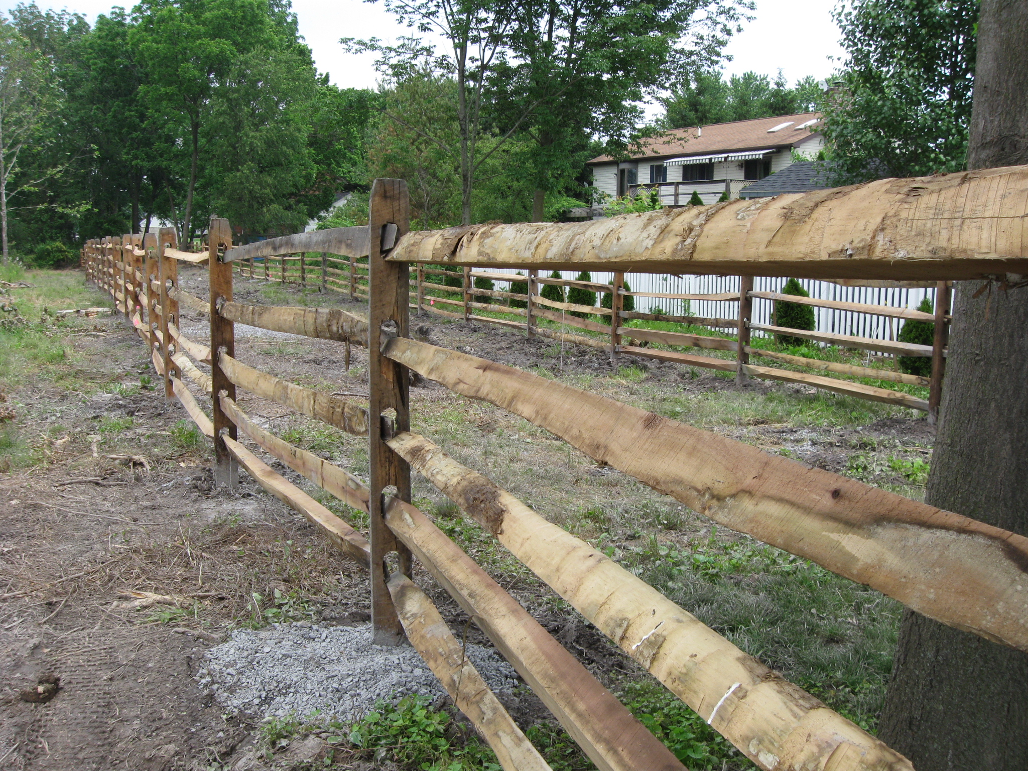
Again there are fences on both sides of Long Lane. This view was taken facing south at approximately 2:00 PM on Monday, June 8, 2009.
The Bliss Farm is the orchard in the left background. The “Point of Woods” of Spangler’s Woods on Seminary Ridge is in the right background. This view was taken facing southwest at approximately 2:00 PM on Monday, June 8, 2009.
We are standing in Long Lane as it approaches the 60 acres of the Bliss Farm. This view was taken facing west at approximately 2:00 PM on Monday, June 8, 2009.
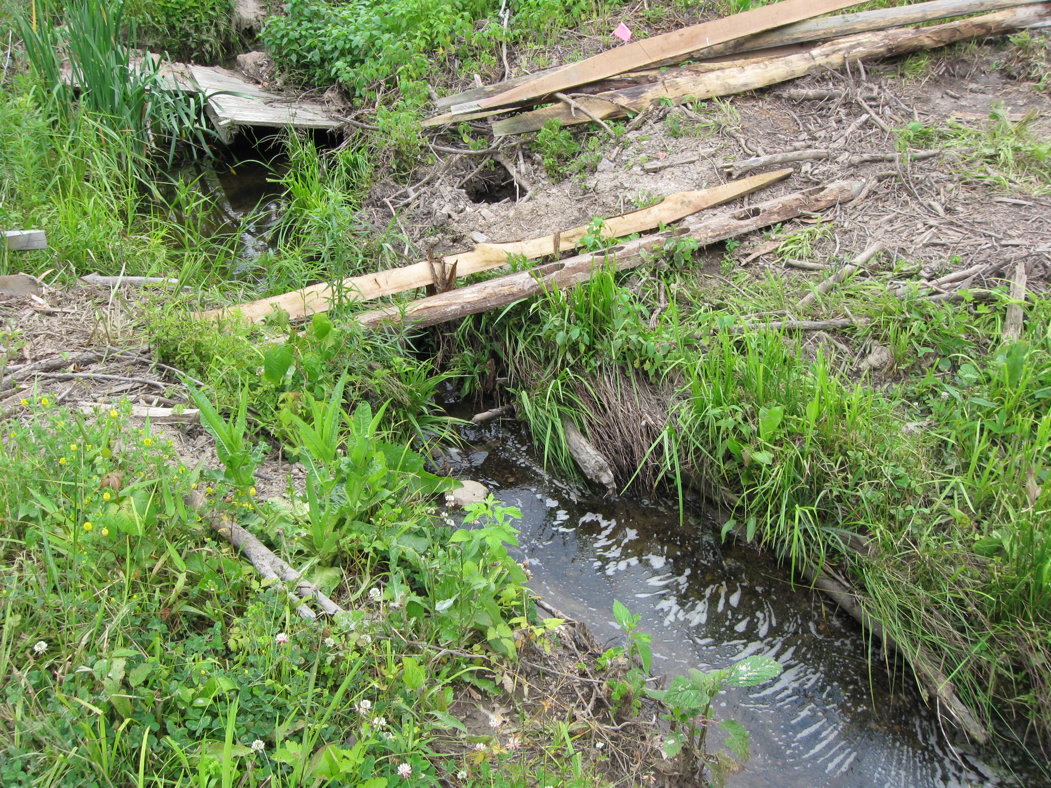
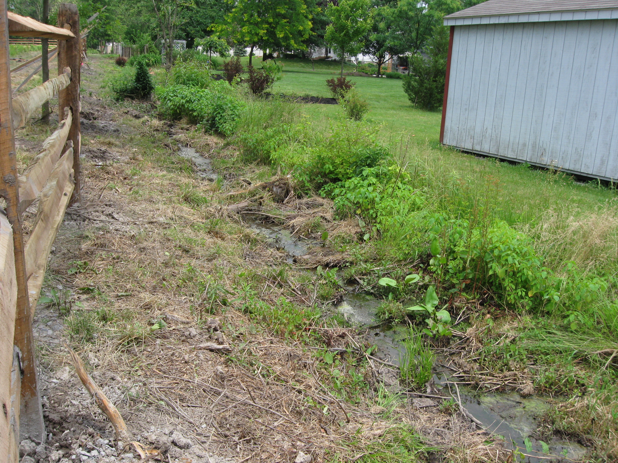
There is a small run here that needs to be crossed. This view was taken facing southeast at approximately 2:00 PM on Monday, June 8, 2009.
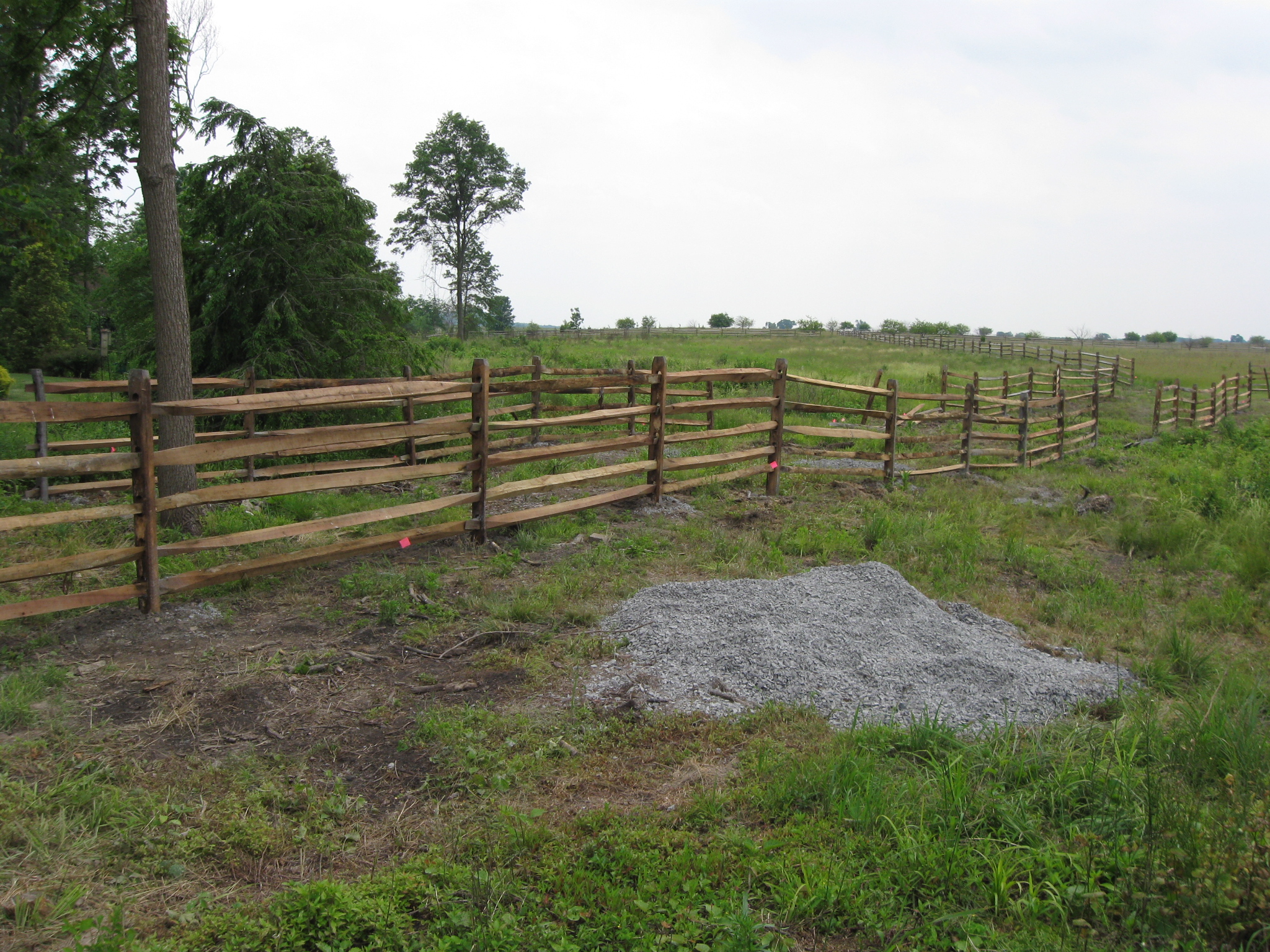
At this intersection of fences one can go west on this lane to McMillan Woods in the background on Seminary Ridge. This view was taken facing west at approximately 2:00 PM on Monday, June 8, 2009.
We could go southeast to the orchard at the Bliss Farm. This view was taken facing southeast at approximately 2:00 PM on Monday, June 8, 2009.
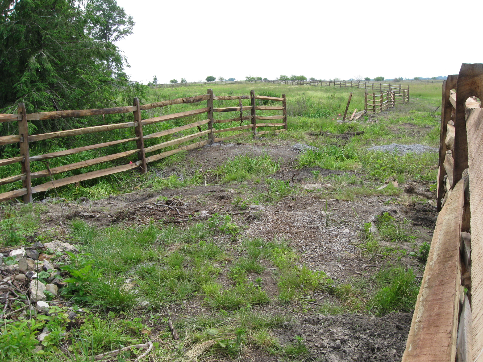
We’re looking to the southwest. There is a gap in the treeline on Seminary Ridge. The North Carolina State Monument is in the woods to the left of that gap. This view was taken facing southwest at approximately 2:00 PM on Monday, June 8, 2009.
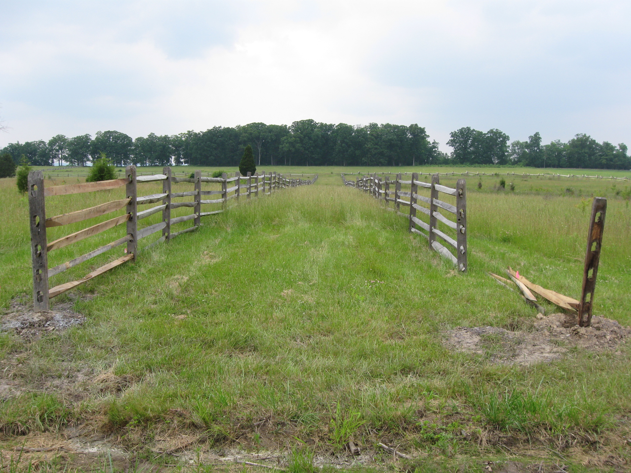
Now we’re at the south end of Long Lane looking back in the area from which we just walked. This view was taken facing northeast at approximately 2:00 PM on Monday, June 8, 2009.
The fence on the east side of Long Lane would run into the white building on private property if it was allowed to continue. This view was taken facing northeast at approximately 2:00 PM on Monday, June 8, 2009.
We are walking back to the recreation park. This view was taken facing northeast at approximately 2:00 PM on Monday, June 8, 2009.
Again, the only low part in Long Lane is wet. This view was taken facing northeast at approximately 2:00 PM on Monday, June 8, 2009.
This view was taken facing northeast at approximately 2:00 PM on Monday, June 8, 2009.
It will be interesting to see if people will park at the recreation park, and walk Long Lane as an access way to the Bliss Farm. This view was taken facing northeast at approximately 2:00 PM on Monday, June 8, 2009.
That would be fine after the land dries out, and if one is truly on National Park Service land. This view was taken facing northeast at approximately 2:00 PM on Monday, June 8, 2009.
But it’s going to take a while for it to dry out. This view was taken facing northeast at approximately 2:00 PM on Monday, June 8, 2009.