
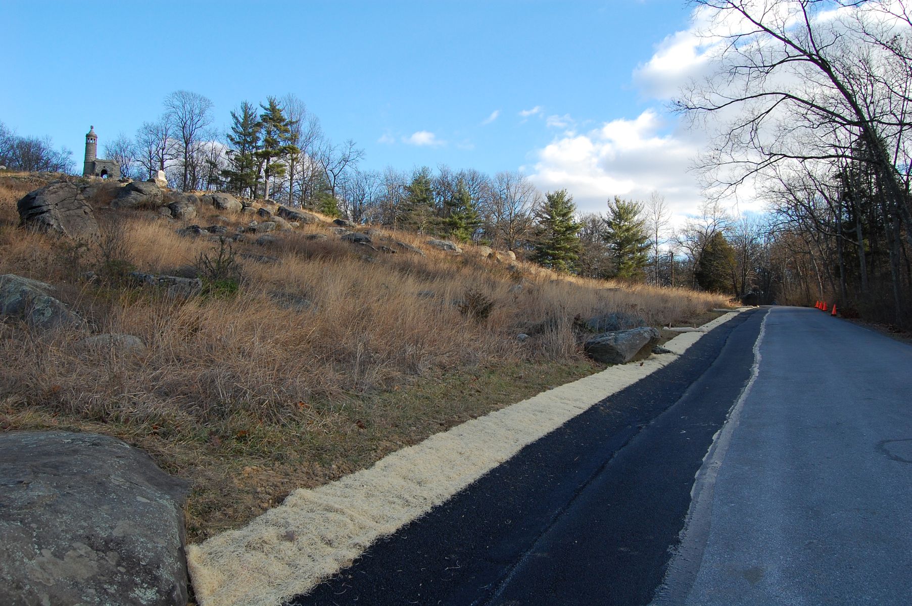
An improved Warren Avenue ascends Little Round Top. Monuments to the 44th New York and the 16th Michigan Infantry can be seen in the upper left of frame. This view was taken facing east at approximately 2:15 PM on Monday, December 26, 2011.
The last time we visited Warren Avenue, it was closed indefinitely for repairs to its shoulder, which had washed away from erosion caused by flooding and traffic. The Avenue is still one-way, but has been reopened to vehicular traffic.

We have often walked up the hill from the bottom of Warren Avenue, so today we decided to start from up the roadway. This view was taken facing northwest at approximately 2:15 PM on Monday, December 26, 2011.
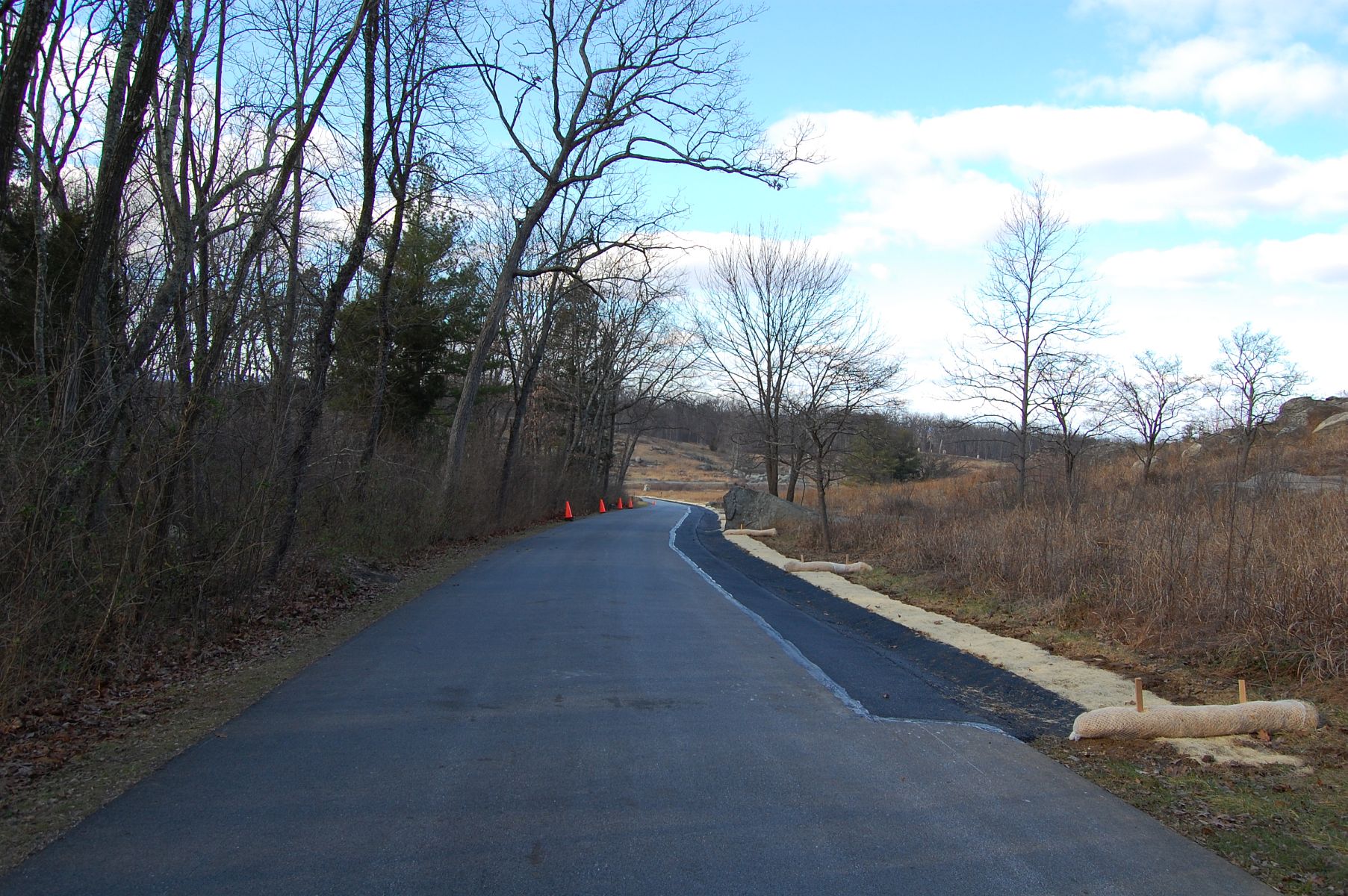
Improvements to the shoulder begin here, about a third of the way down the avenue. This view was taken facing northwest at approximately 2:15 PM on Monday, December 26, 2011.

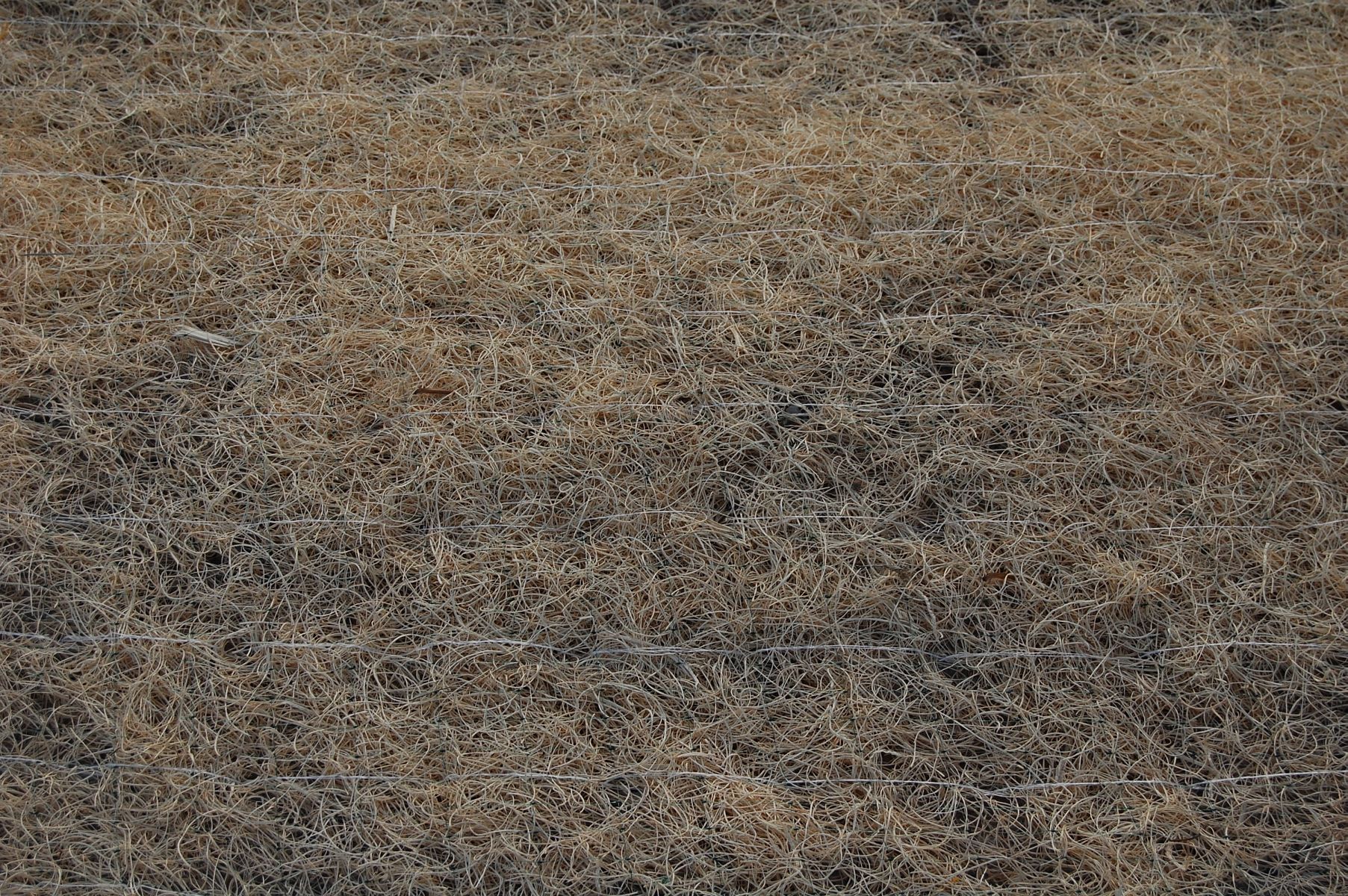
Two methods of erosion control are at play here. The paved shoulder of the roadway and a netted erosion control blanket / open weave textile product. This textile will degrade over time and the vegetation that grows into the blanketing will prevent erosion in the long term. This view was taken facing northeast at approximately 2:15 PM on Monday, December 26, 2011.
This should mean that the next time this area floods, it will be far less likely that the soil side of the roadway will wash away. This view was taken facing northwest at approximately 2:15 PM on Monday, December 26, 2011.

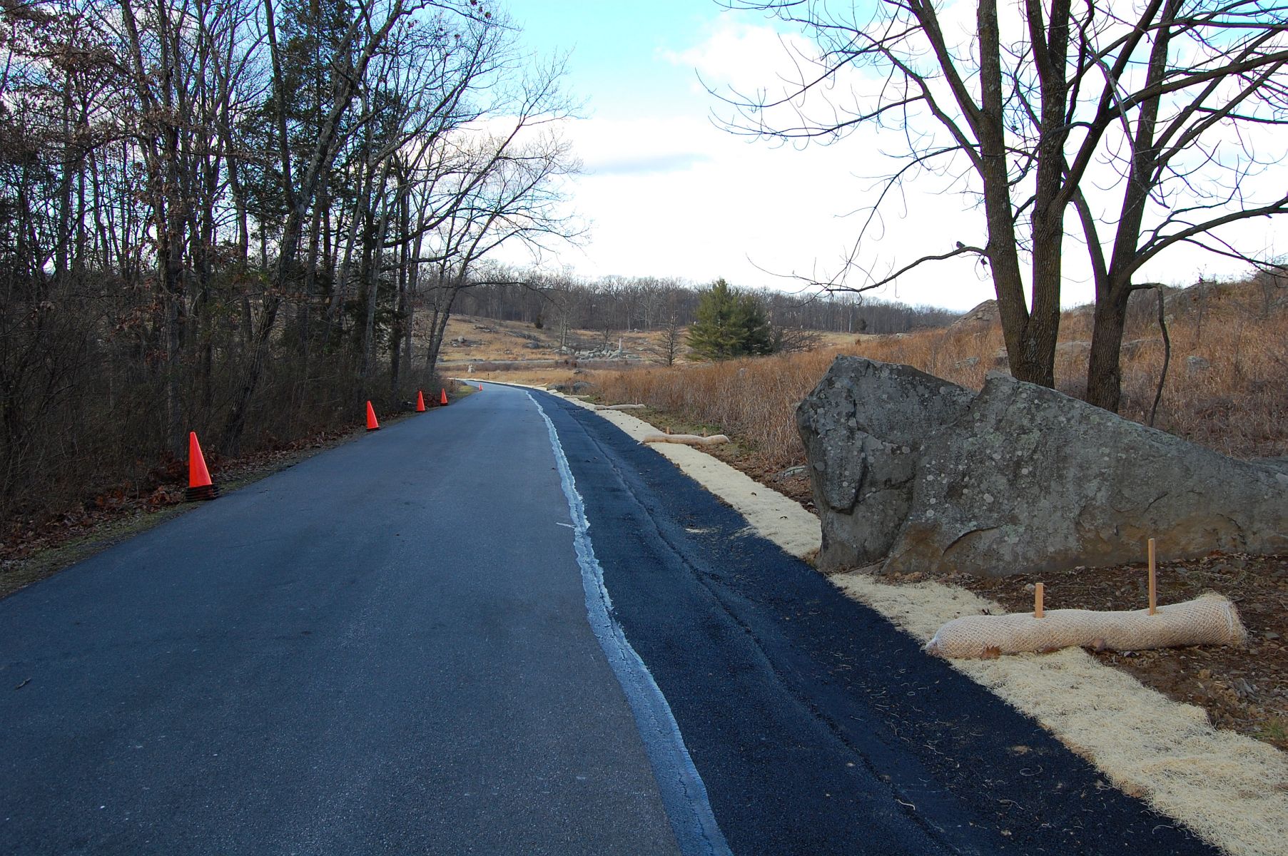
This view was taken facing northeast at approximately 2:15 PM on Monday, December 26, 2011.

A restored 4th New York Battery Monument can be seen against the horizon on Houck’s Ridge in the left of this view, along with the 99th Pennsylvania Infantry monument. This view was taken facing northwest at approximately 2:15 PM on Monday, December 26, 2011.

We took the Wheatfield Road out of the Little Round Top area of the field (though we are on Crawford Avenue in this picture) … This view was taken facing southeast at approximately 2:15 PM on Monday, December 26, 2011.

… and found some more erosion control implemented along the roadway near the 10th New York Independent Battery and the 5th Massachusetts Battery. The photographer is standing on the Wheatfield Road. This view was taken facing southeast at approximately 2:15 PM on Monday, December 26, 2011.
This view was taken facing southeast at approximately 2:15 PM on Monday, December 26, 2011.
This view was taken facing southeast at approximately 2:15 PM on Monday, December 26, 2011.

The 10th New York Independent Battery … This view was taken facing northeast at approximately 2:15 PM on Monday, December 26, 2011.

… and the 5th Massachusetts Battery monument. This view was taken facing northeast at approximately 2:15 PM on Monday, December 26, 2011.

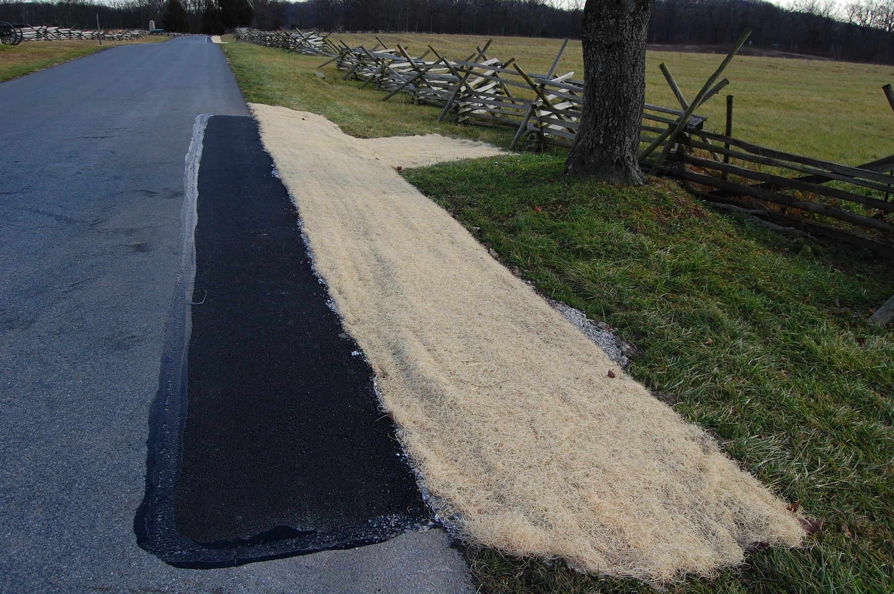
The longest stretch of erosion control in this area is located just past the 5th MA Battery, and extends all the way to … This view was taken facing southeast at approximately 2:15 PM on Monday, December 26, 2011.

… Bigelow’s 9th Massachusetts Battery. This view was taken facing northeast at approximately 2:15 PM on Monday, December 26, 2011.