

More tree clearing has taken place in the area of the McMillan Woods and the David McMillan House … but where? This view was taken facing south at approximately 5:10 PM on Wednesday, December 1, 2010.
We’ve updated you a few different times on the tree clearing project in the vicinity of the David McMillan House on Seminary Ridge. While we were driving on West Confederate Avenue yesterday evening we decided to take a quick walk and show you the newest area where cutting has taken place. One may wonder why these woods are being removed. According to National Park Service memos, the clearing is to expose the area where the Confederate infantry lines were located on July 2nd and 3rd, 1863.

We’ll walk down towards the tree cutting from here. The photographer is standing on West Confederate Avenue, in front of its intersection with the Fairfield Road/W. Middle Street. This view was taken facing south at approximately 5:10 PM on Wednesday, December 1, 2010.

The clearing takes place beyond the ten itinerary tablets/markers for the Army of Northern Virginia. The itinerary tablets/markers for the Army of the Potomac can be found on East Cemetery Hill. This view was taken facing south at approximately 5:10 PM on Wednesday, December 1, 2010.

Did we mention it was getting dark out? This view was taken facing west at approximately 5:10 PM on Wednesday, December 1, 2010.
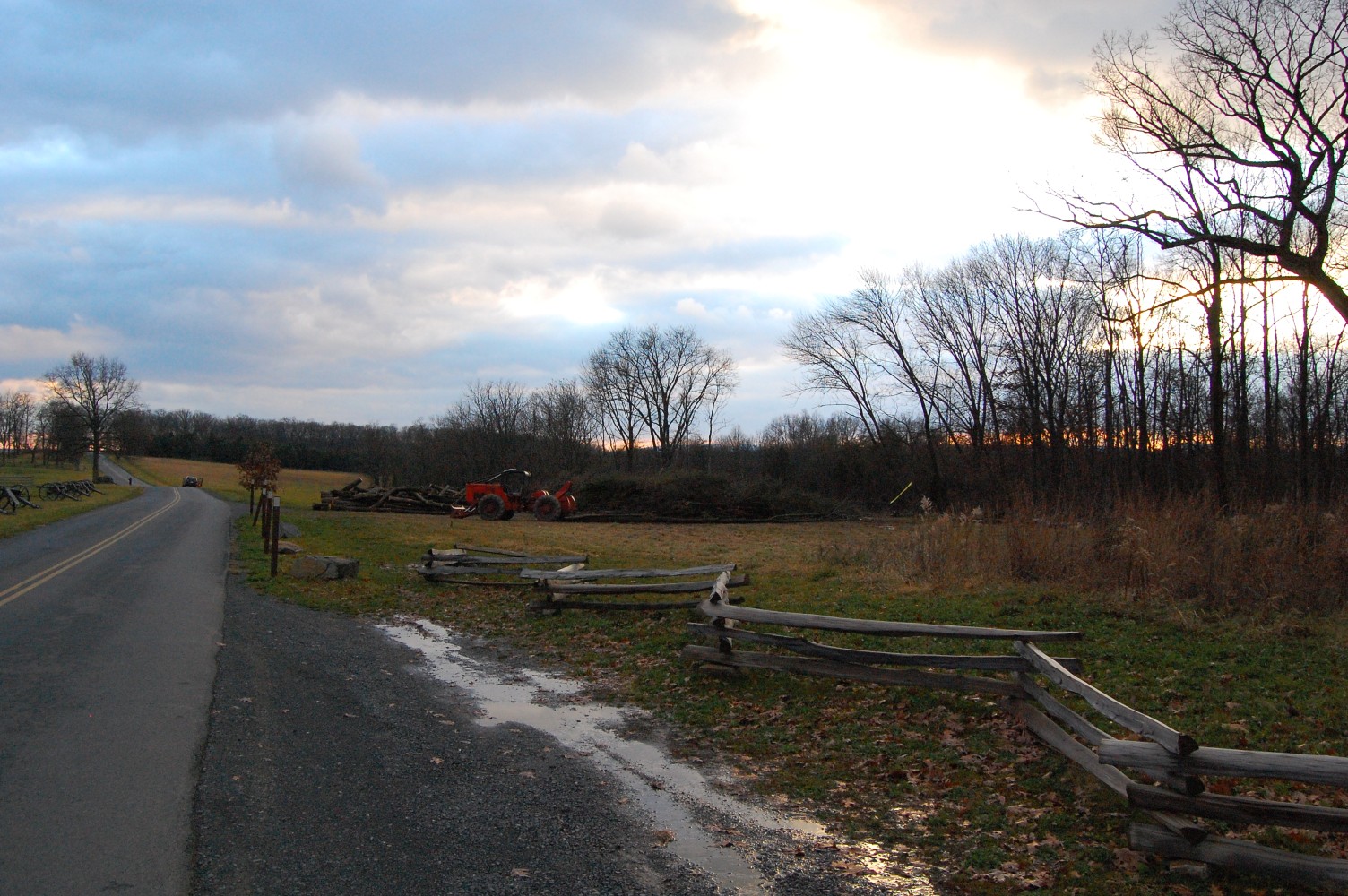
To get to this portion of the tree clearing, we’ll head east off the road to the right of the orange vehicle in the center of this photo. This view was taken facing southwest at approximately 5:10 PM on Wednesday, December 1, 2010.
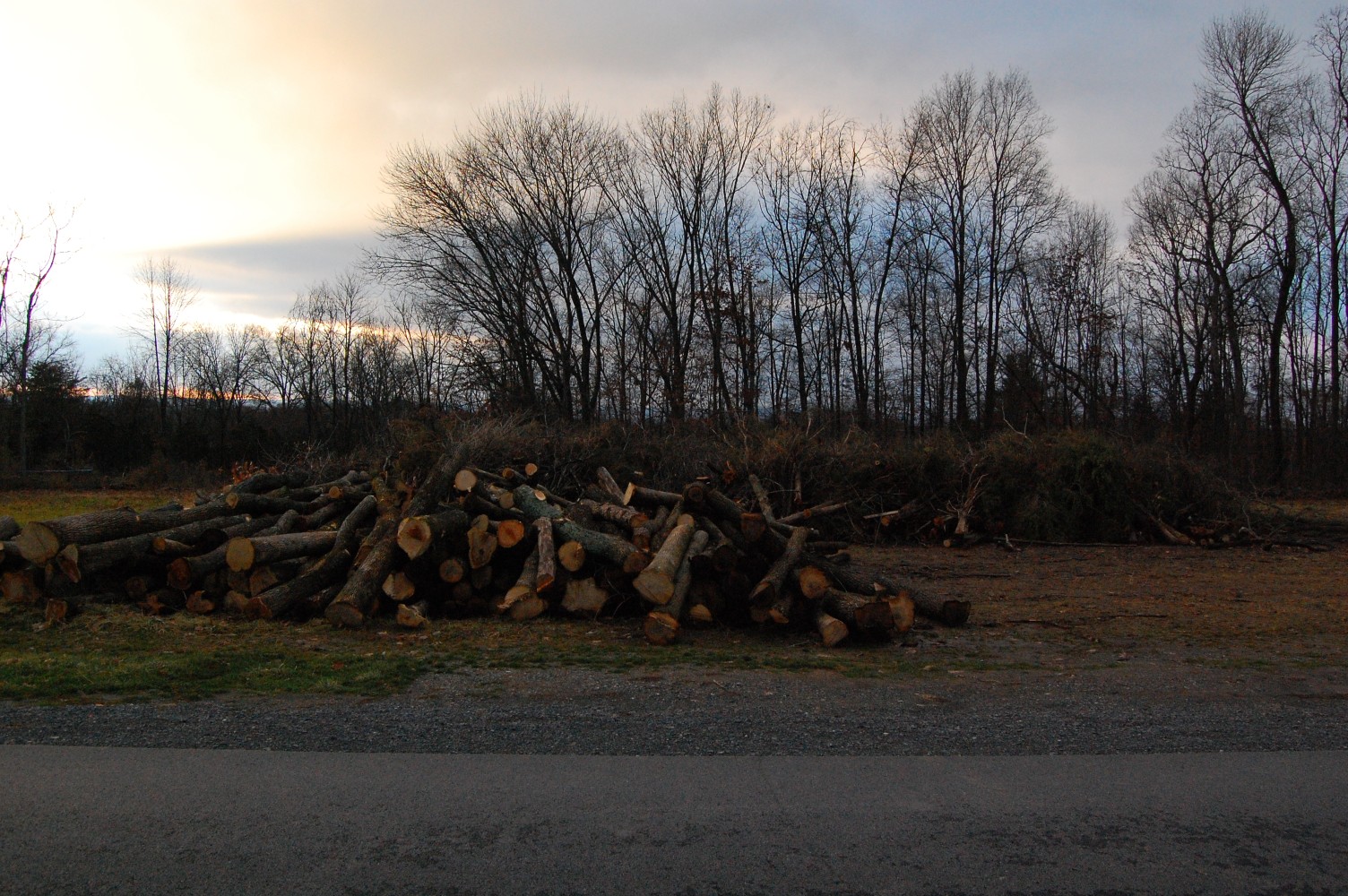
Most of the wood has already been moved from where it was cut to this area near the road. This view was taken facing west at approximately 5:10 PM on Wednesday, December 1, 2010.
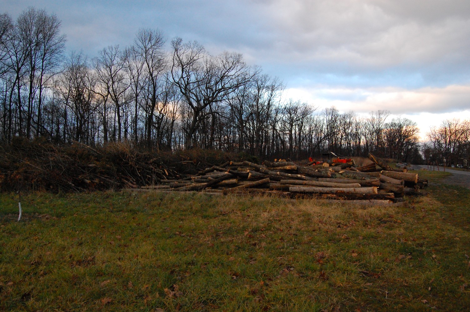
The small tree with the white markings in the left portion of this shot is the southern boundary of the orchard replanted in this area west of the road. This view was taken facing north at approximately 5:10 PM on Wednesday, December 1, 2010.
We have moved down the pathway from the previous photograph … This view was taken facing north at approximately 5:10 PM on Wednesday, December 1, 2010.
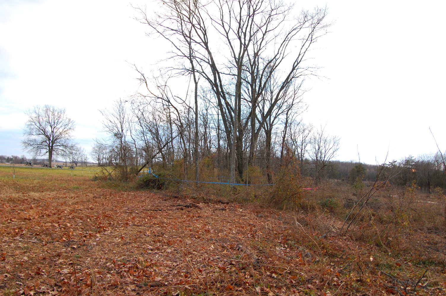
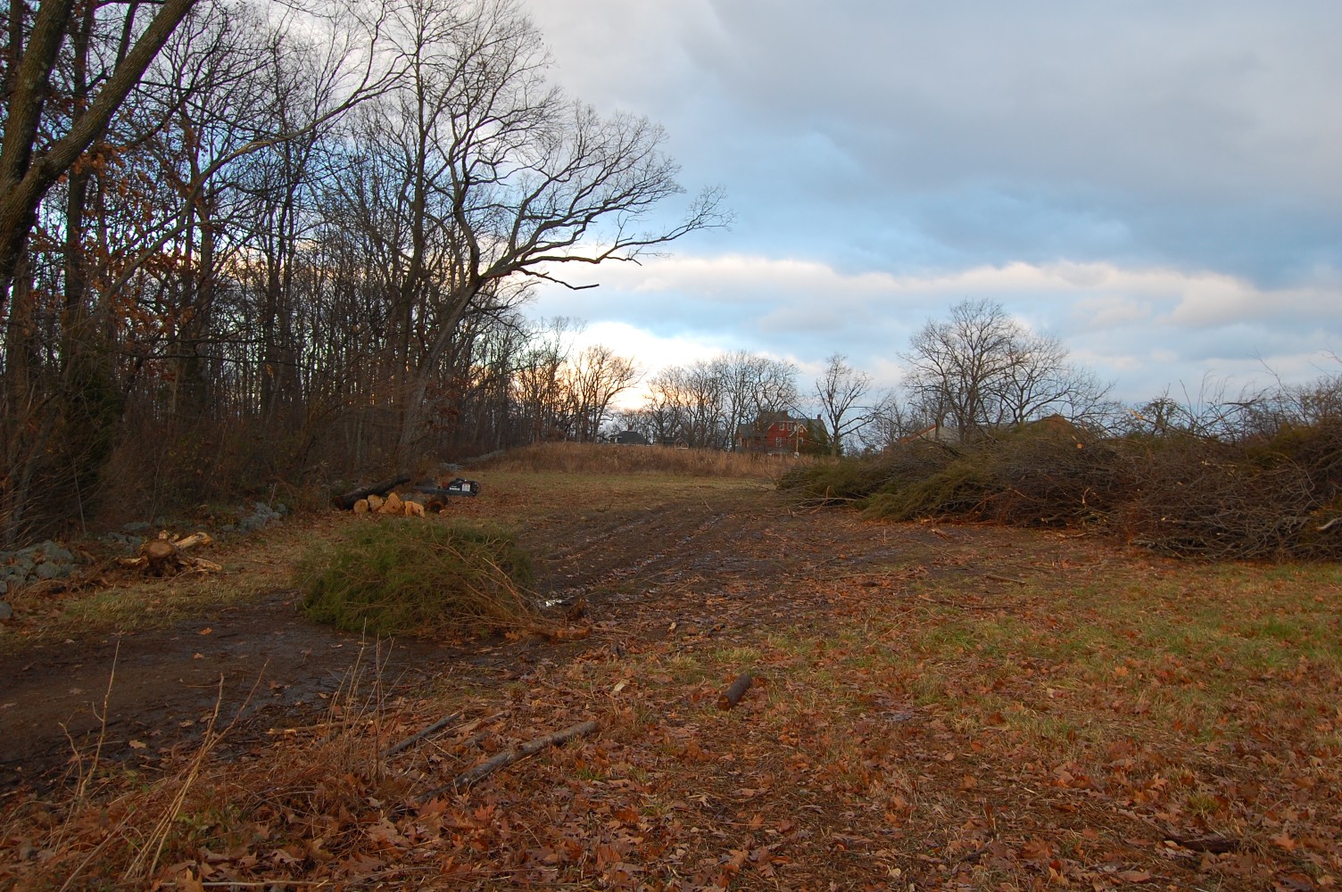
… And we’ve arrived. West Confederate Avenue is in the left-hand portion of this shot. The tree clearing takes place to the right of the screen of trees that occupies the middle of the photo. This view was taken facing south at approximately 5:10 PM on Wednesday, December 1, 2010.

And it’s a fairly large area that has already been cleared. The clearing work done here now connects itself with the cleared area in the background of this shot, which was cleared back in September. This view was taken facing south at approximately 5:10 PM on Wednesday, December 1, 2010.
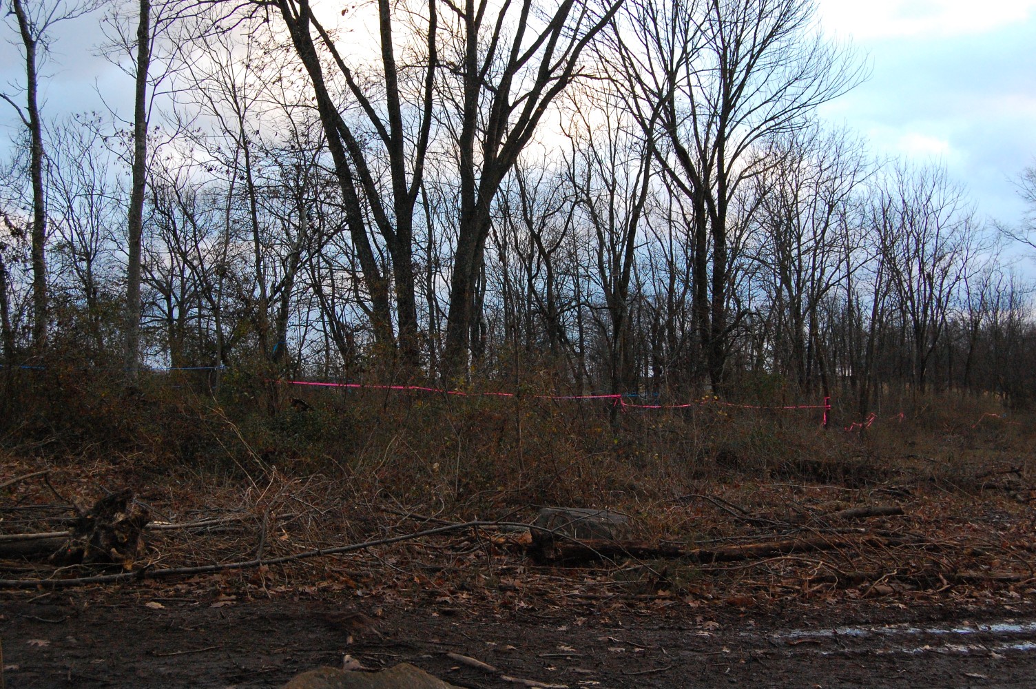
Given the pink tape, it seems like these trees will remain in the center, separating the southern portion of the orchard from this newly cleared area. This view was taken facing southeast at approximately 5:10 PM on Wednesday, December 1, 2010.