Neill Avenue (Lost Avenue) Part 1: Presented by LBG Ted Gajewski
March 17, 2009
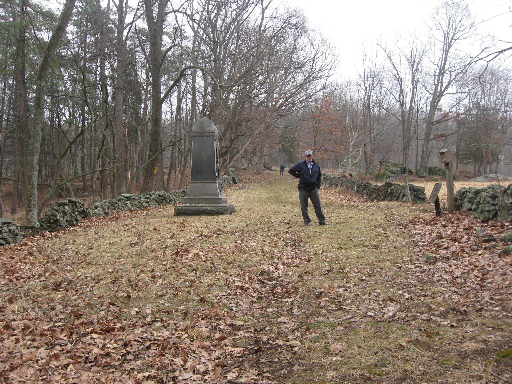
Gettysburg Licensed Battlefield Guide Ted Gajewski took us on a walk to Neill Avenue on Sunday. Lost Avenue, as it is also known, is one of the least visited locations at Gettysburg National Military Park. This view was taken facing northeast at approximately 3:00 PM on Sunday, March 15, 2009.
Gettysburg Licensed Battlefield Guide Ted Gajewski has been on the guide force since 2001. He took some other LBGs on a visit to Neill Avenue on Sunday via the old public access trail off Clapsaddle Road. Today’s post will cover the hike down the trail which has not been cleared in a long time. Our next Neill Avenue post will show the monuments on Neill Avenue.
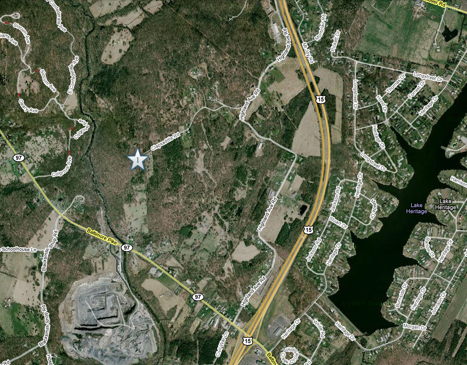
To get to the “trail” to Neill Avenue, take Highland Avenue to Clapsaddle Road. Where Clapsaddle Road ends, park on the left. The trail begins here at Star #1 where we shot our introductory video. This map was made facing north at approximately 5:30 PM on Monday, March 16, 2009.
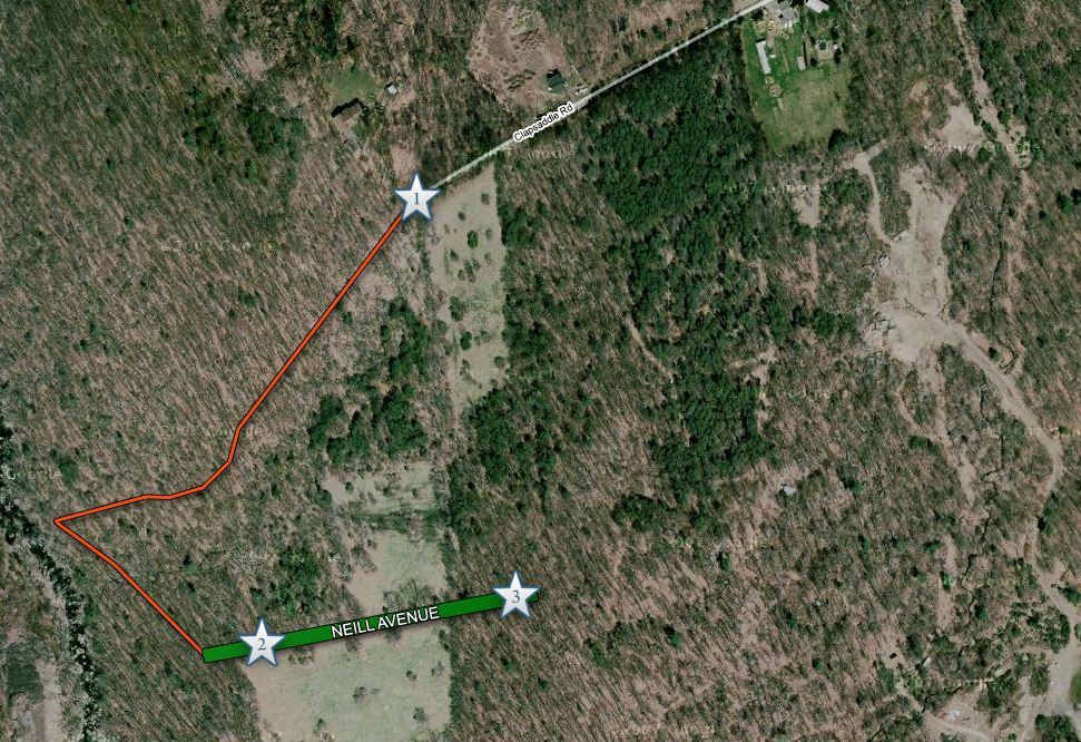
This map shows the “trail” with an orange line. Video #1 is in this post. Videos #2 and #3 will be in the next Neill Avenue post. This map was made facing north at approximately 5:30 PM on Monday, March 16, 2009.
In Video #1, Gettysburg Licensed Battlefield Guide Ted Gajewski explains how strenuous the trail is and warns potential users of the trail to be very careful. This view was taken facing southwest at approximately 3:00 PM on Sunday, March 15, 2009.
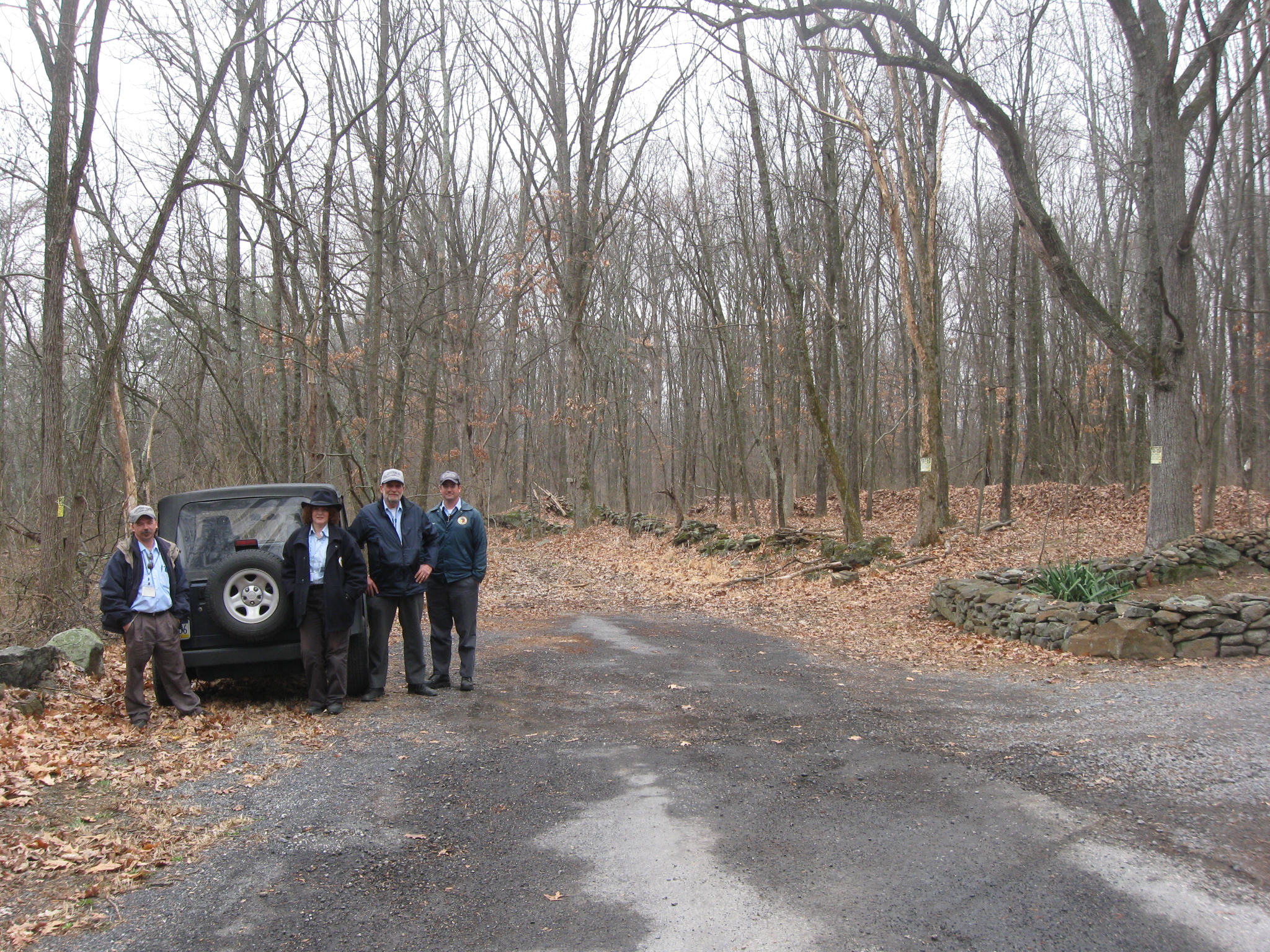
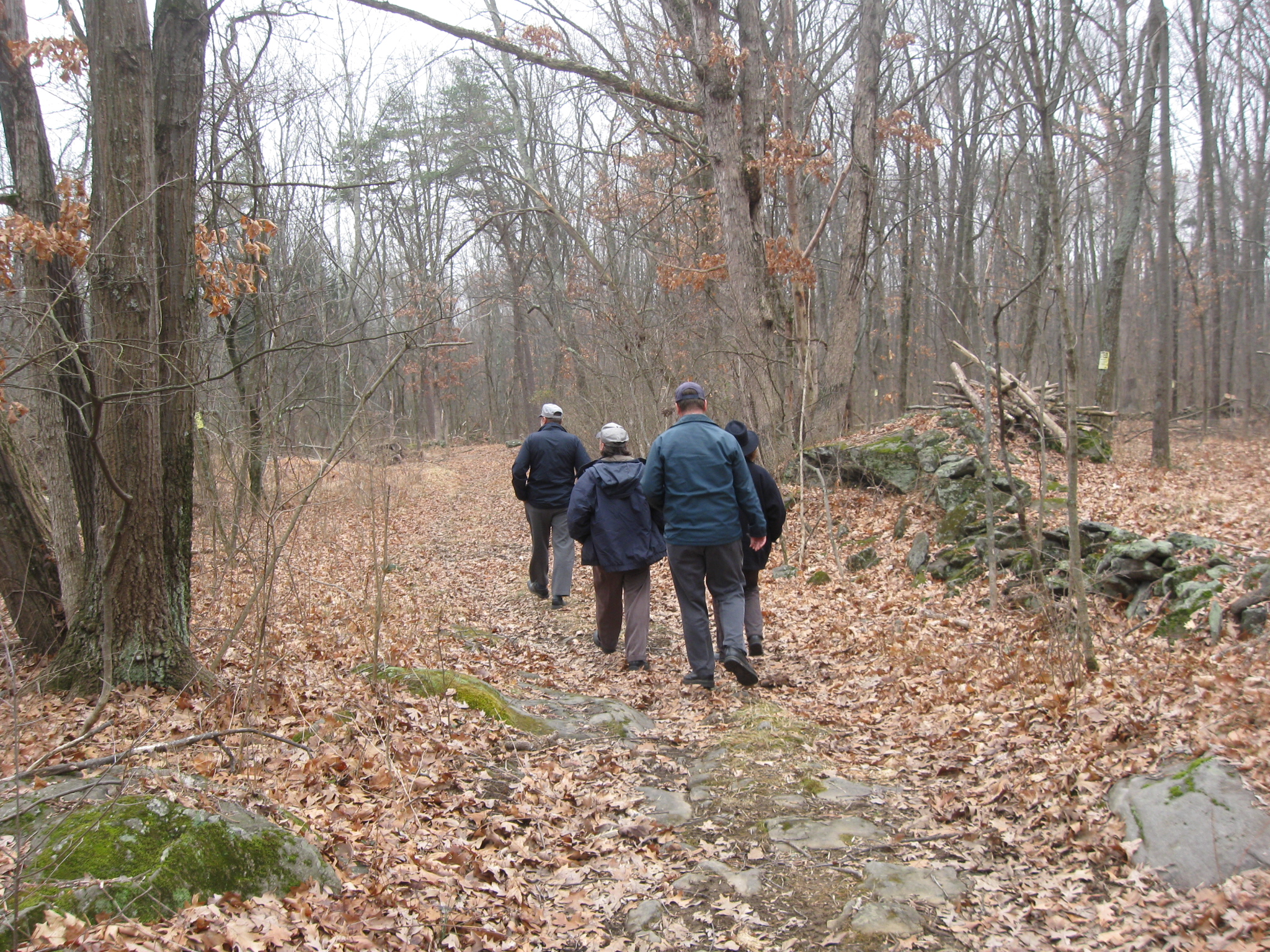
A couple of Licensed Battlefield Guides made the trek to Neill Avenue on Sunday afternoon. From left are Rich Kohr, Hope Coates, Ted Gajewski, and Dave Weaver. Notice how we have parked the vehicle on the far left of the road. Do not block the private driveway on the right of the road. The “trail” to Neill Avenue is straight ahead. This view was taken facing southwest at approximately 3:00 PM on Sunday, March 15, 2009.
Our group starts the hike to Neill Avenue, and at first everything is looking very good. This view was taken facing southwest at approximately 3:00 PM on Sunday, March 15, 2009.
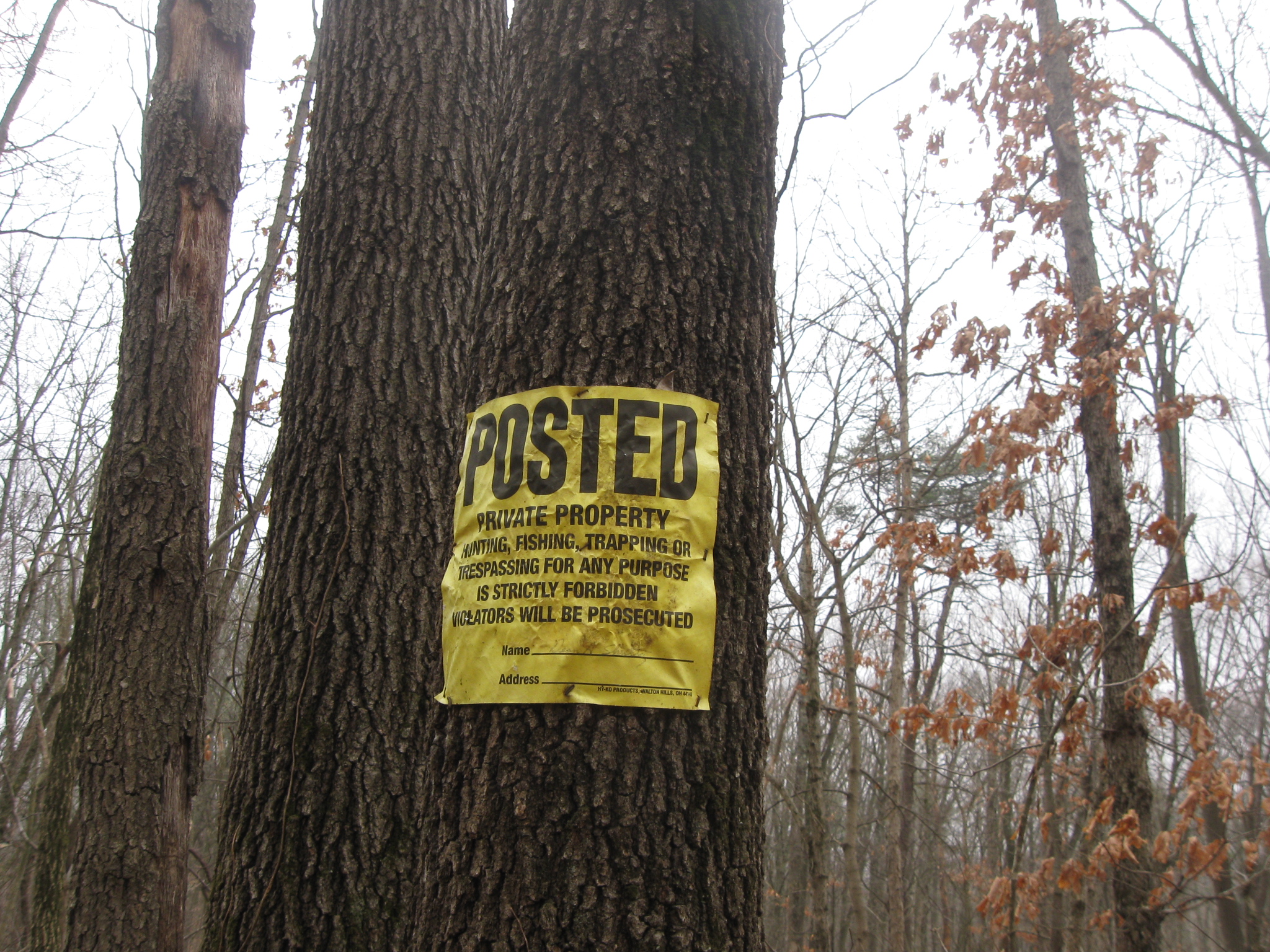
Both sides of the “trail” are well marked with No Trespassing signs. While the trail is public, the land on either side is private property, so don’t get off the trail. This view was taken facing northeast at approximately 3:00 PM on Sunday, March 15, 2009.
After approximately 100 yards, the trail begins to become narrower. This view was taken facing southwest at approximately 3:00 PM on Sunday, March 15, 2009.
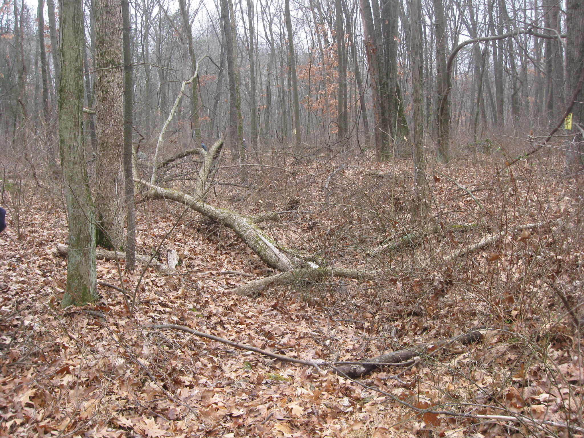
It quickly becomes apparent that this trail hasn’t been cleared in a long time… This view was taken facing southwest at approximately 3:00 PM on Sunday, March 15, 2009.
… a really long time. This view was taken facing southwest at approximately 3:00 PM on Sunday, March 15, 2009.
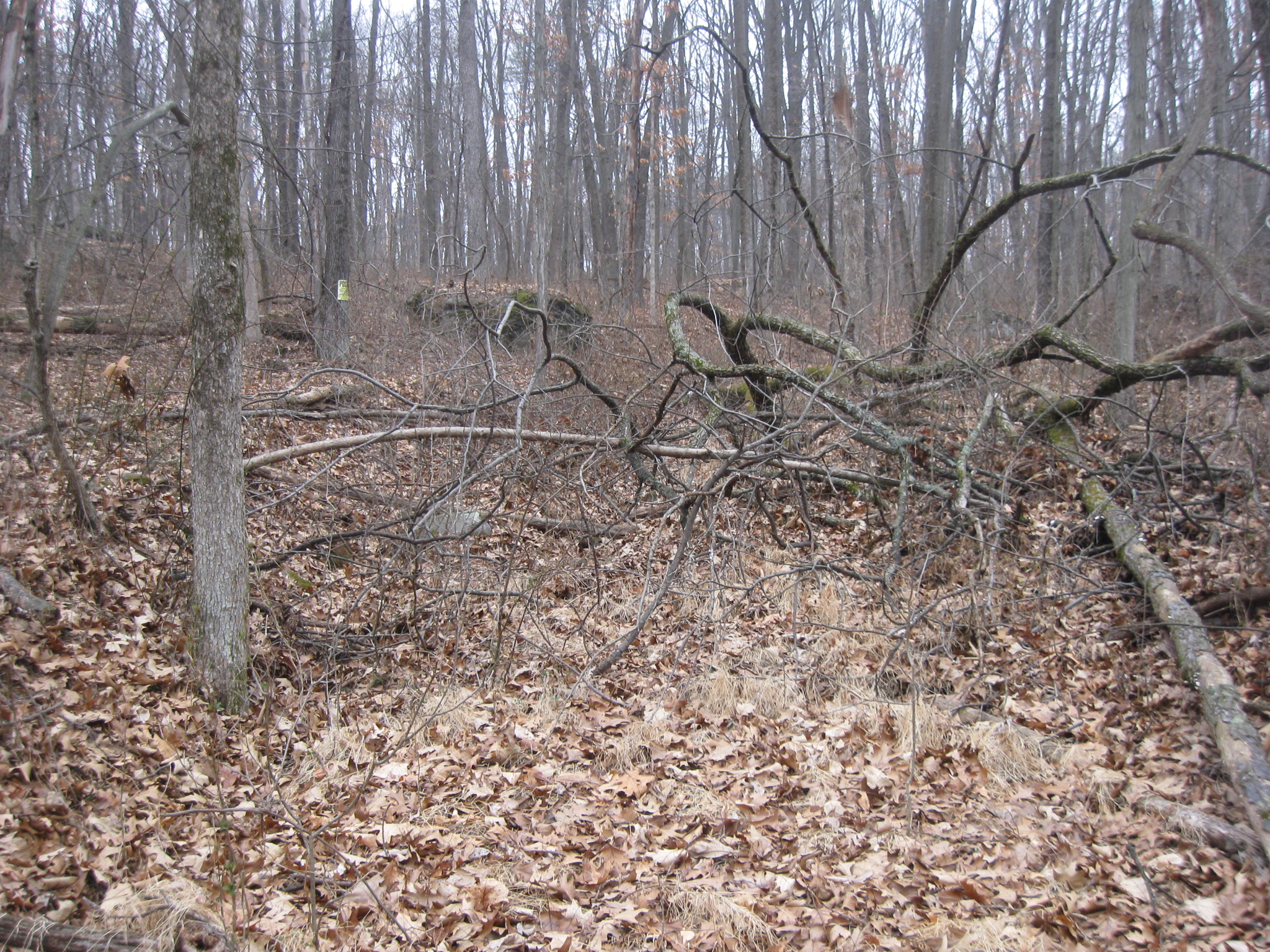
It opens up again… This view was taken facing southwest at approximately 3:00 PM on Sunday, March 15, 2009.
… only to have more obstacles present themselves. This view was taken facing southwest at approximately 3:00 PM on Sunday, March 15, 2009.
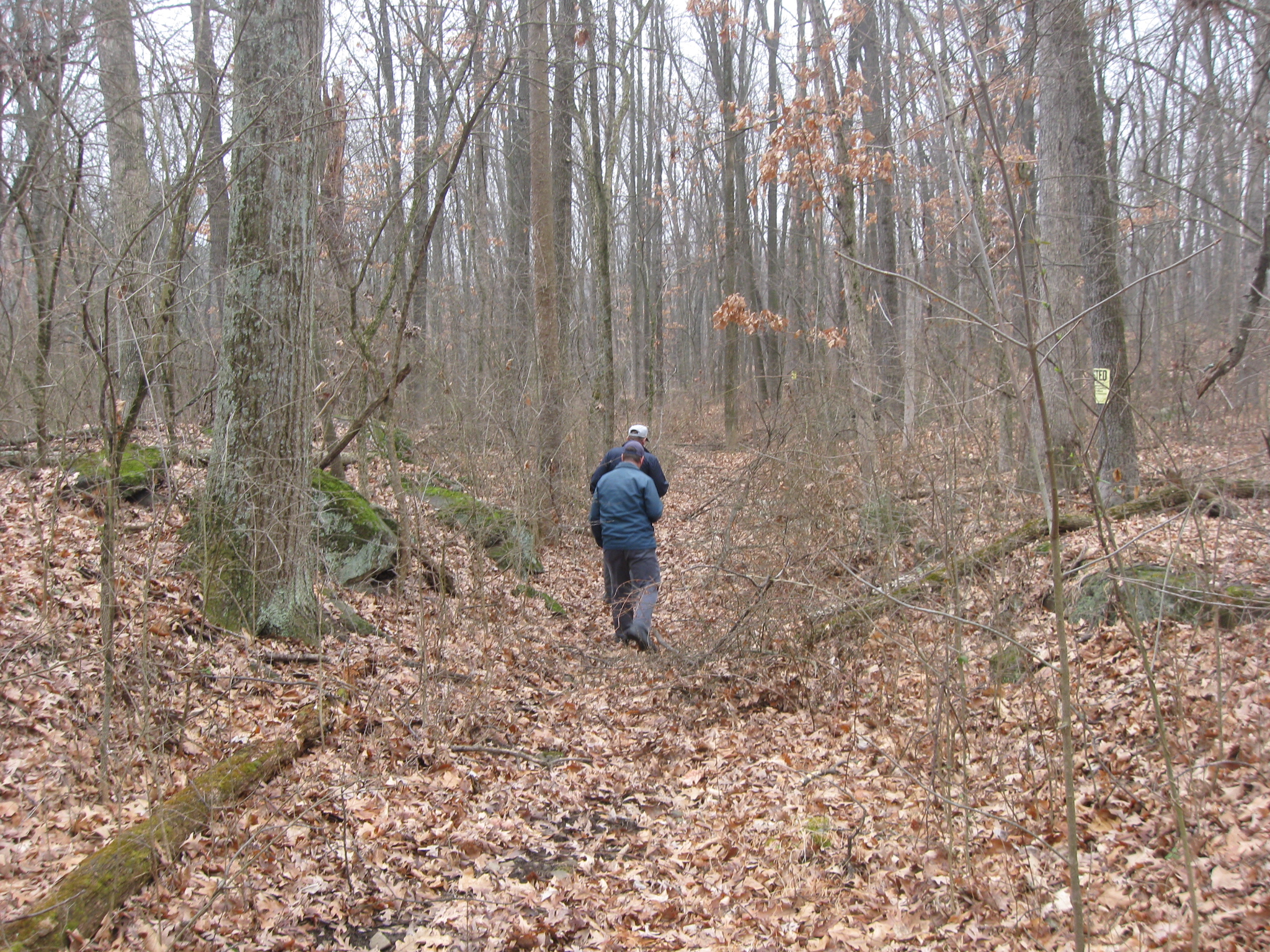
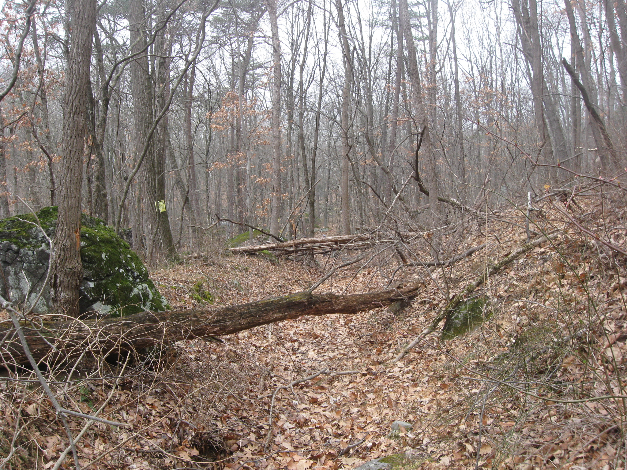
It would be nice if the local township would clear this narrow stretch of trail. This view was taken facing northeast at approximately 4:00 PM on Sunday, March 15, 2009.
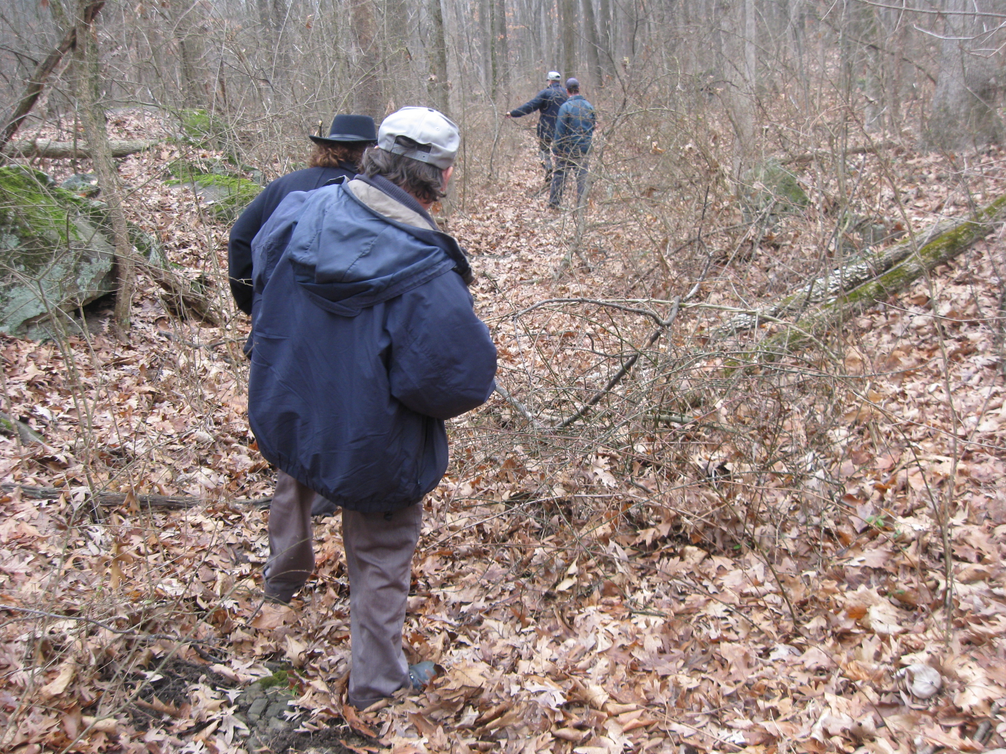
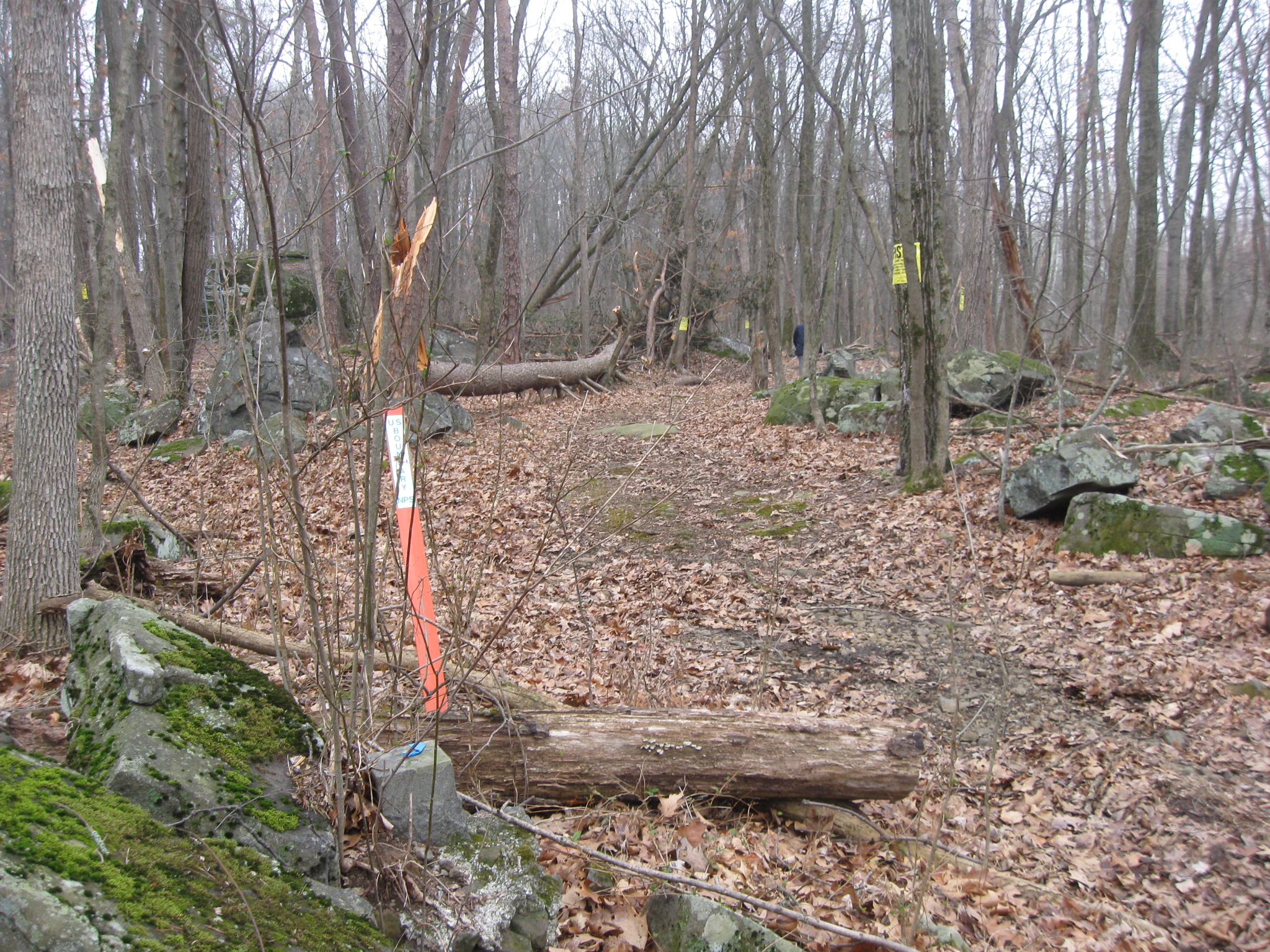
We’re now getting to the bottom of the slope, near Rock Creek. This is a crucial intersection where we must take a left. Don’t go to Rock Creek. The orange post on the right is a National Park Service boundary post, and is the key to the turn here. Turn left here. Don’t go anywhere else, because you’ll be on private property. This view was taken facing southwest at approximately 3:00 PM on Sunday, March 15, 2009.
Here’s the orange NPS boundary marker, and another boundary marker with a piece of blue fabric on top. We need to be walking on this trail heading away from the camera. This view was taken facing southeast at approximately 3:00 PM on Sunday, March 15, 2009.
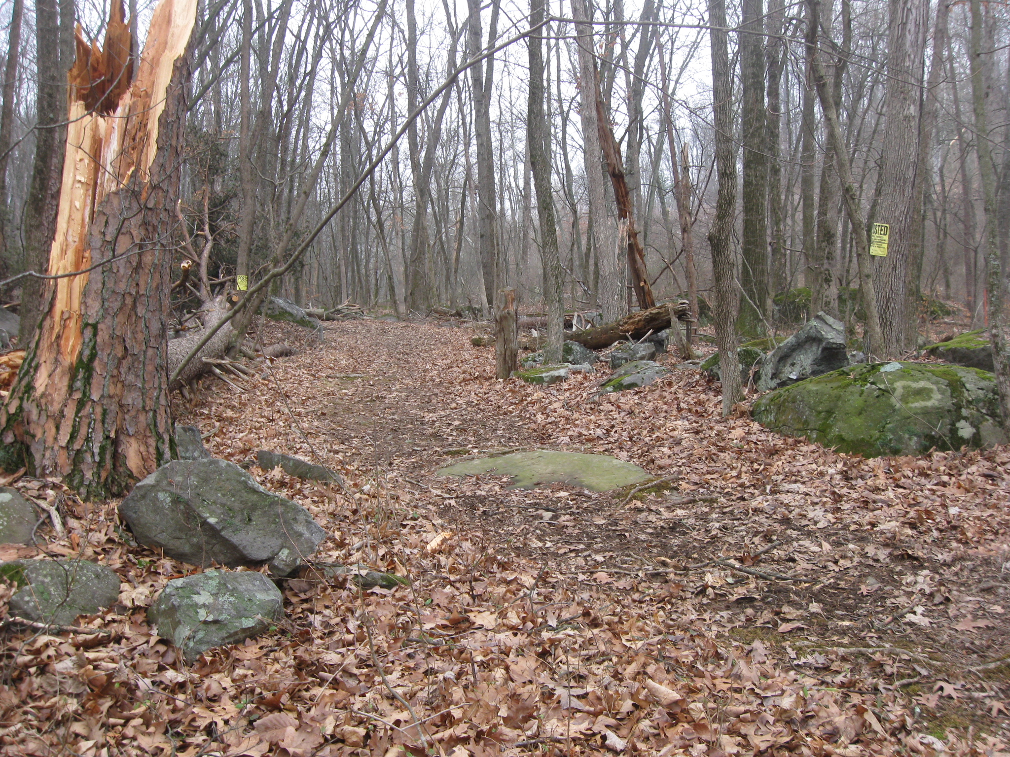
A key landmark at this intersection (for now) is the freshly toppled pine tree on the left. This view was taken facing southeast at approximately 3:00 PM on Sunday, March 15, 2009.
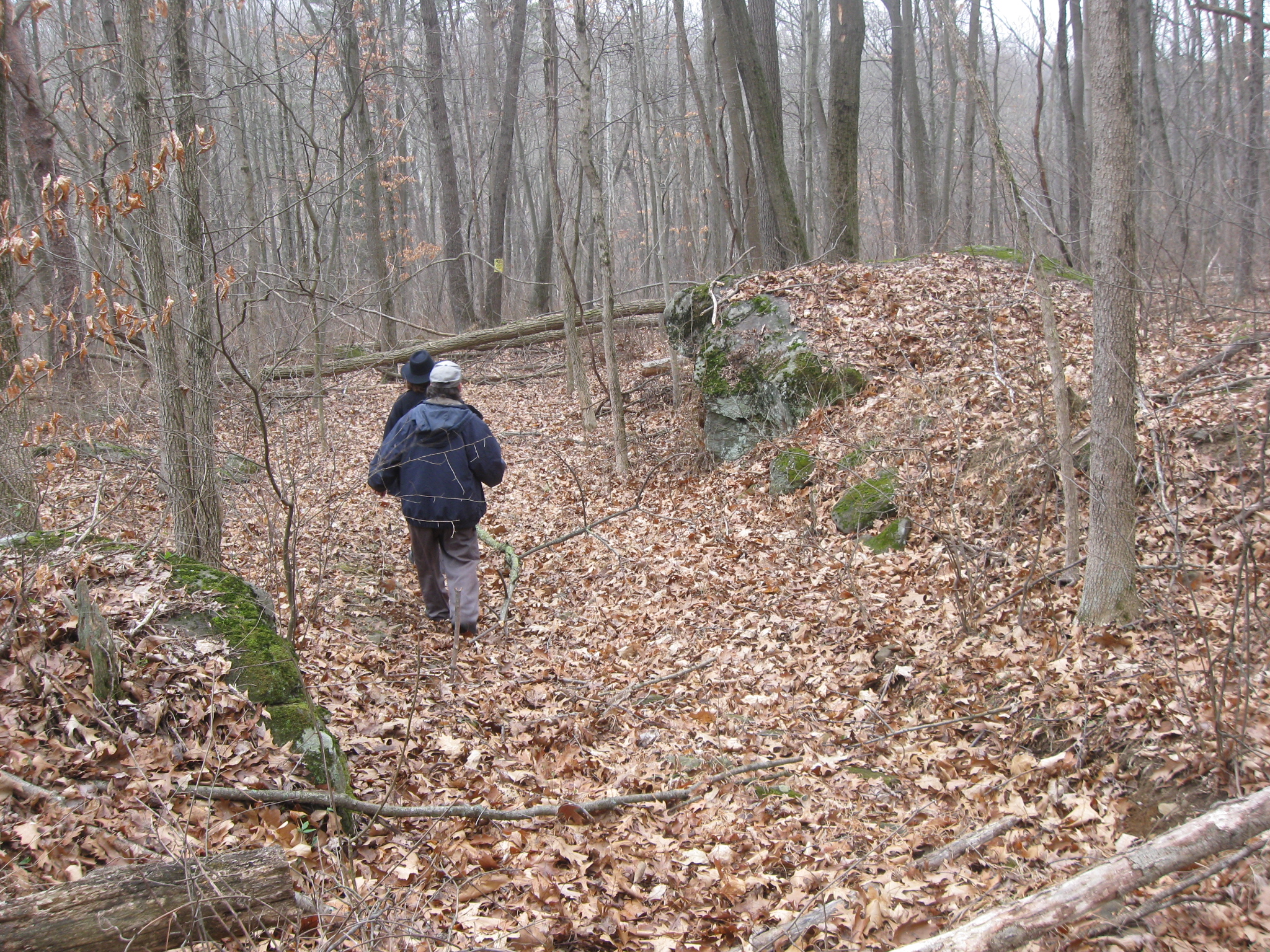
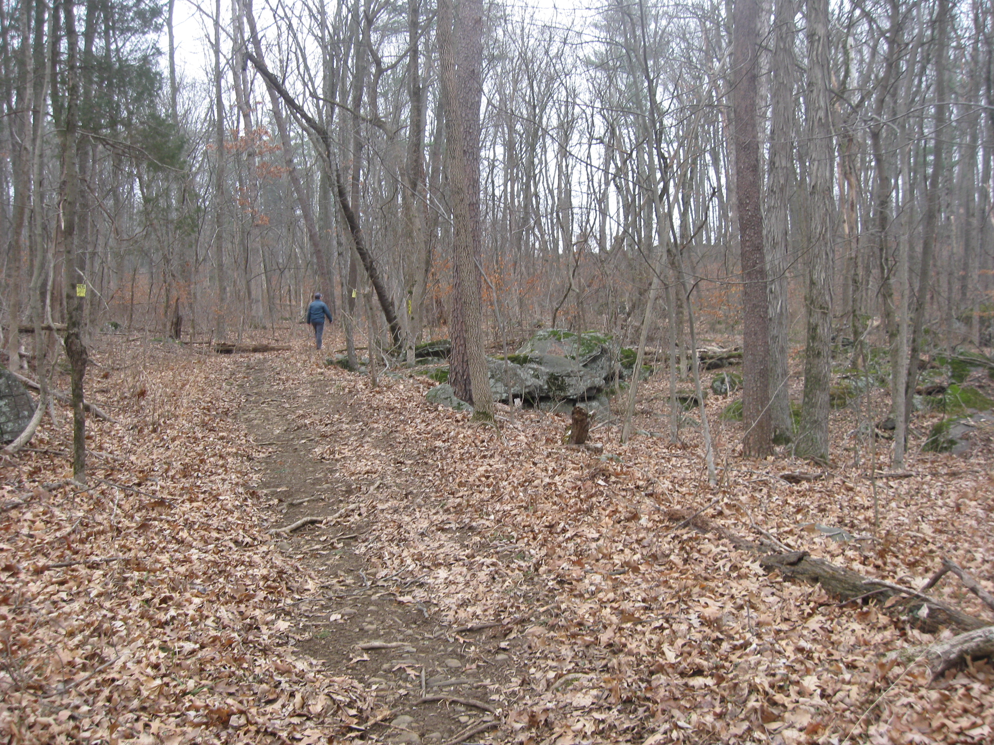
Dave Weaver is heading up this well-kept trail to the ridge which can be seen through the trees in the right background. This is our objective. We are approaching the ridge from the same general direction that the 2nd Virginia Infantry Regiment might have approached it in July, 1863. This view was taken facing southeast at approximately 3:00 PM on Sunday, March 15, 2009.
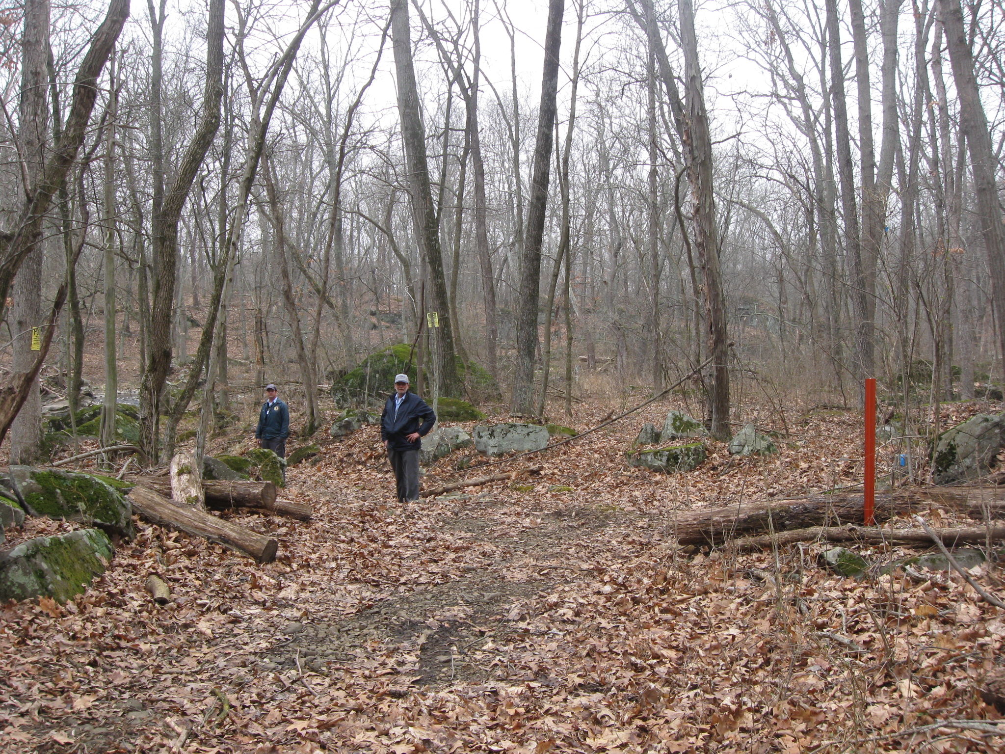
As Ted Gajewski climbs the ridge to Neill Avenue, one can understand why Neill’s Brigade chose this location for a defensive position. This view was taken facing southeast at approximately 3:00 PM on Sunday, March 15, 2009.
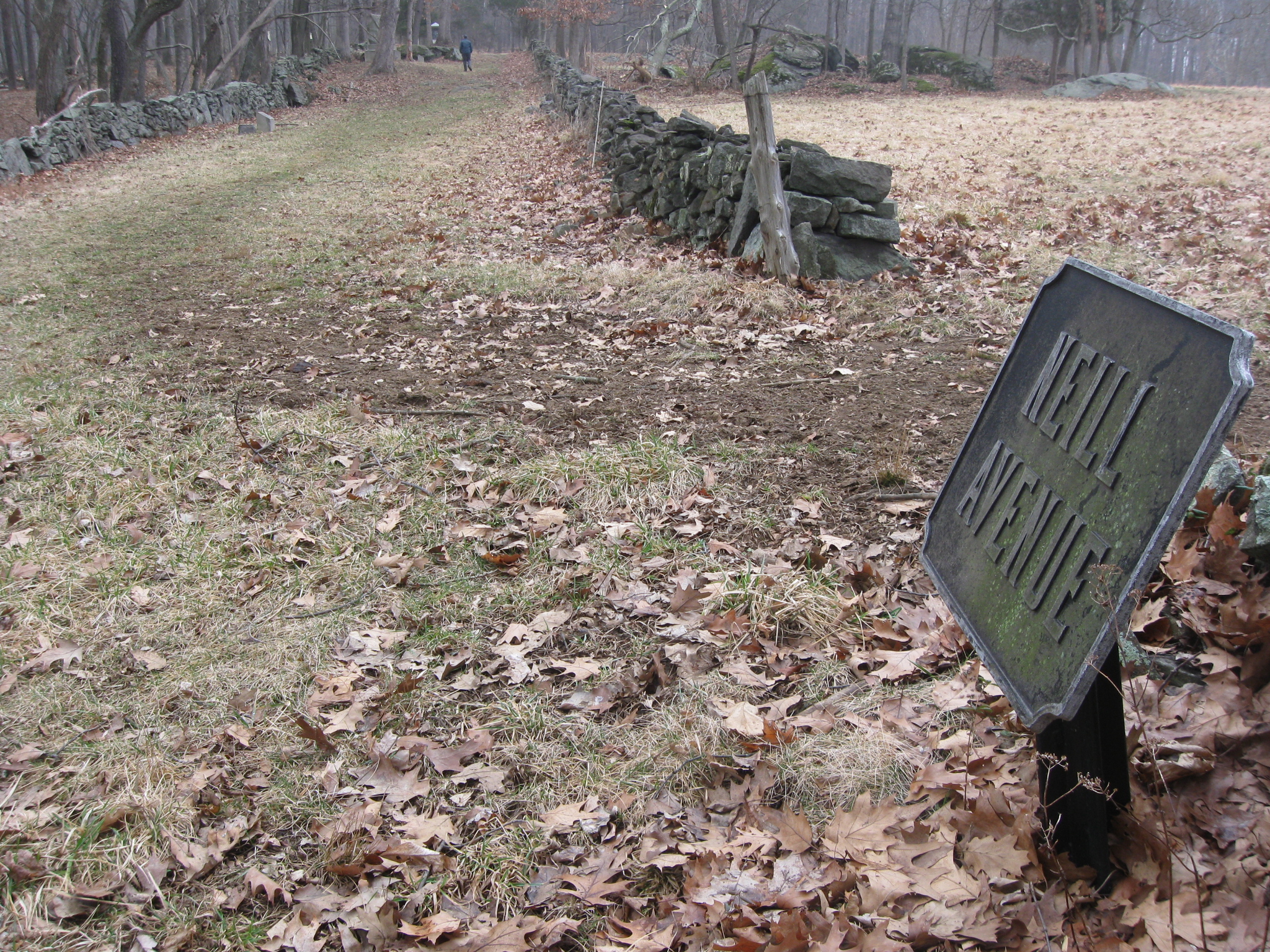
We have reached the top of the ridge which contains Neill Avenue. We will show you the monuments here on our next Neill Avenue post. This view was taken facing northeast at approximately 3:00 PM on Sunday, March 15, 2009.
See our previous posts on Gettysburg Licensed Battlefield Guides:
Gettysburg Guide Room: The Final Days on March 8, 2008.
Lights Out at the Electric Map on April 13, 2008.
New Guide Room at the New Visitor Center on April 19, 2008.
New Association of Licensed Battlefield Guide Office and Library Opens on August 25, 2008.
Evergreen Cemetery Headstone Damage with LBG Deb Novotny on October 20, 2008.
Camp Letterman with LBG Phil Lechak here.
Gettysburg Artillery with LBG George Newton here.
“Mammy’s Little Baby Loves Guided Tours” with LBG Charlie Fennell on November 23, 2008.
Bucktails on McPherson’s Ridge Part 1 with LBG Rich Kohr on November 26, 2008.
Gettysburg Licensed Battlefield Guide Exam 2008 on December 6, 2008.
Gettysburg Hawk Hunting with Licensed Battlefield Guide Dave Weaver on December 14, 2008.
Colonel Edward Ephraim Cross with LBG Rich Bellamy here.
Licensed Battlefield Guide Rich Kohr: William Wible’s Gettysburg Quarry on January 21, 2009.
The Gettysburg Electric Trolley with LBG Rich Kohr here
ACHS Battle of Gettysburg Civil War Research Room with LBG Tim Smith on February 10, 2009.
Lutheran Theological Seminary Cupola with LBG Tim Smith here
John F. Kennedy’s Gettysburg Visit with LBG Richard Goedkoop here.
Gettysburg Harrisburg Railroad with LBG Don Walters here.
Neill Avenue (Lost Avenue) with LBG Ted Gajewski here.