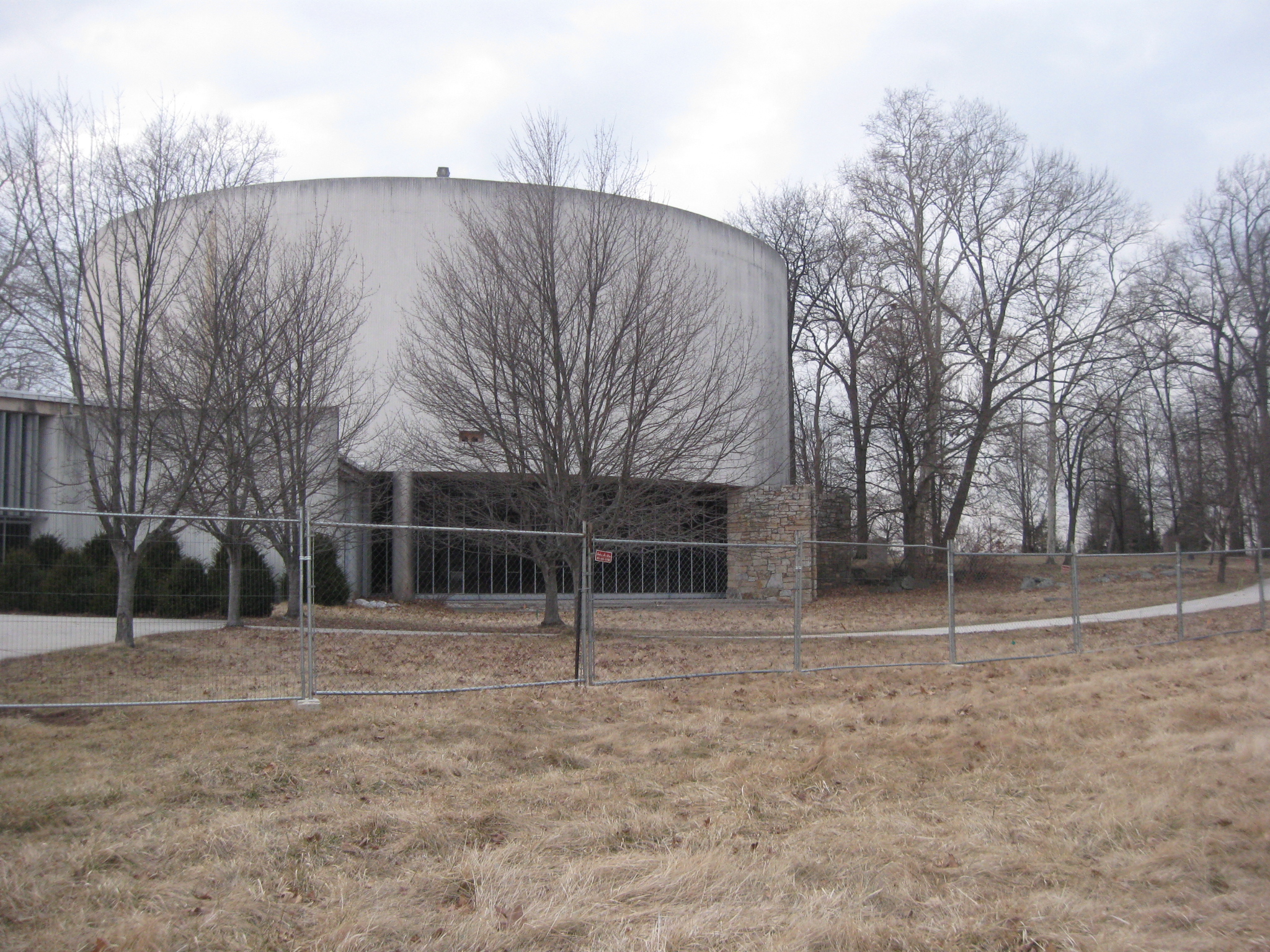
Construction Fences have arrived at the old Gettysburg National Military Park Visitor Centers. Here is a view of the rear (west side) of the Electric Map Visitor Center. This view was taken facing northeast at approximately 5:00 PM on Thursday, February 26, 2009.
Finally there is visible movement in deconstructing the Electric Map Visitor Center and the Cyclorama Center on Cemetery Hill and Cemetery Ridge. Construction fences arrived Thursday and completely enclose the Electric Map Visitor Center. The fences are halfway around the Cyclorama Center.
Construction fences have also been placed on the south and east sides of the Cyclorama Center. This view was taken facing northwest at approximately 5:30 PM on Thursday, February 26, 2009.
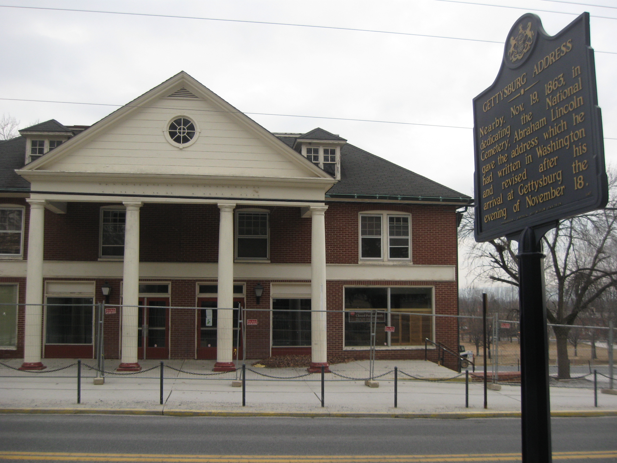
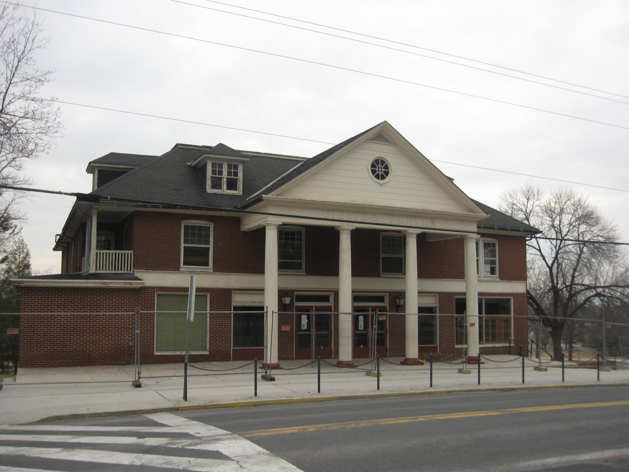
Let’s take a walk around the Electric Map Visitor Center, starting with the Taneytown Road entrance. This view was taken facing northwest at approximately 5:00 PM on Thursday, February 26, 2009.
Here’s a view of the “smoker’s porch,” put to good use by the current Superintendent and dozens of other employees over the years. This view was taken facing northwest at approximately 5:00 PM on Thursday, February 26, 2009.
From this point the fence heads to the west along the south side of the Electric Map Visitor Center. This view was taken facing northwest at approximately 5:00 PM on Thursday, February 26, 2009.
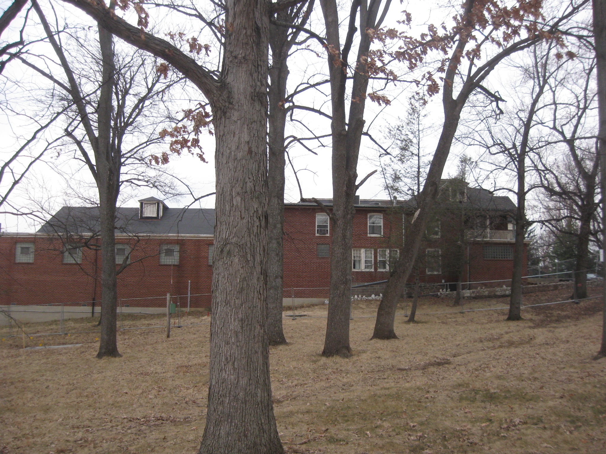
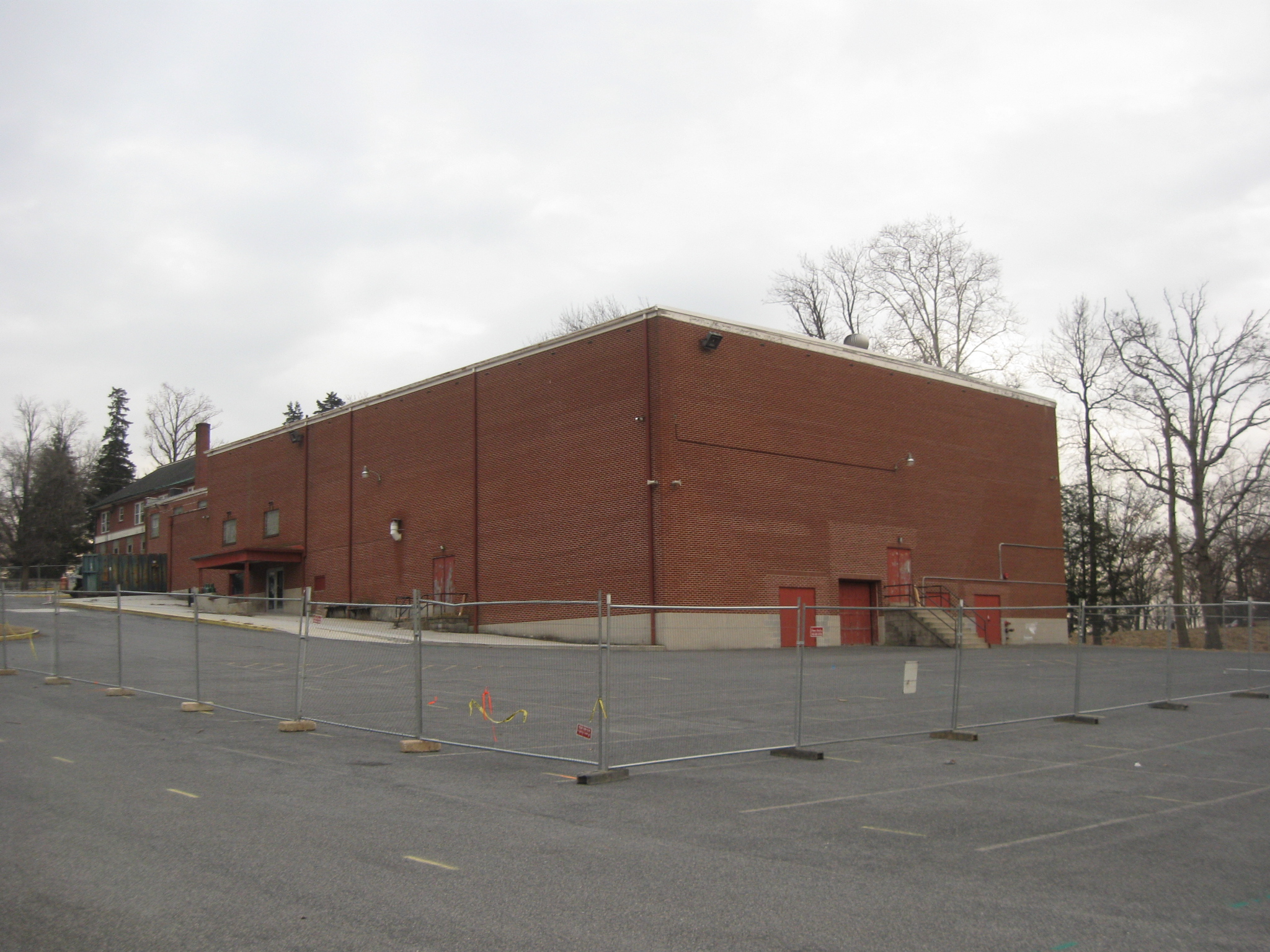
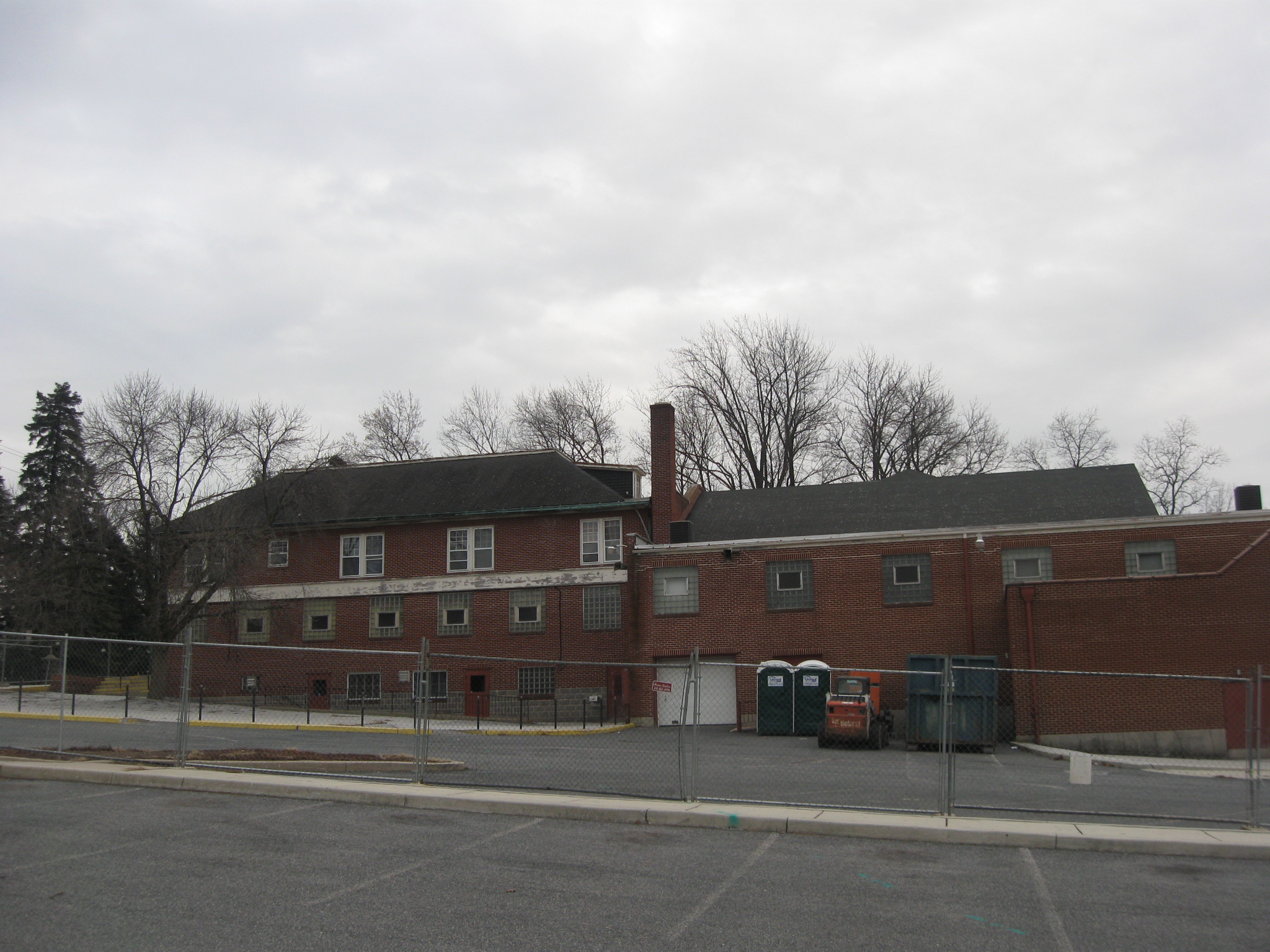
Going downhill along the fence gives one a good view of all the additions to the building since it was first constructed in 1921. The 1921 part (closest to the camera) is the section containing the entrance along the Taneytown Road. The last section, farthest away from the camera was finished in 1962. This view was taken facing northwest at approximately 5:00 PM on Thursday, February 26, 2009.
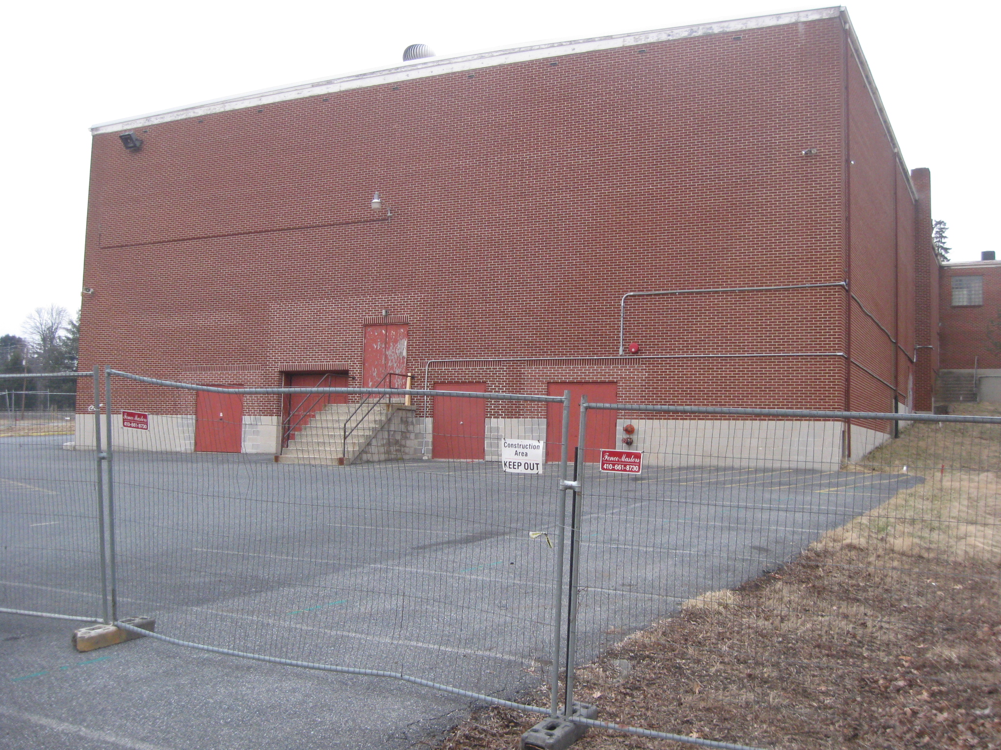
A view of the south side of the building. This view was taken facing north at approximately 5:00 PM on Thursday, February 26, 2009.
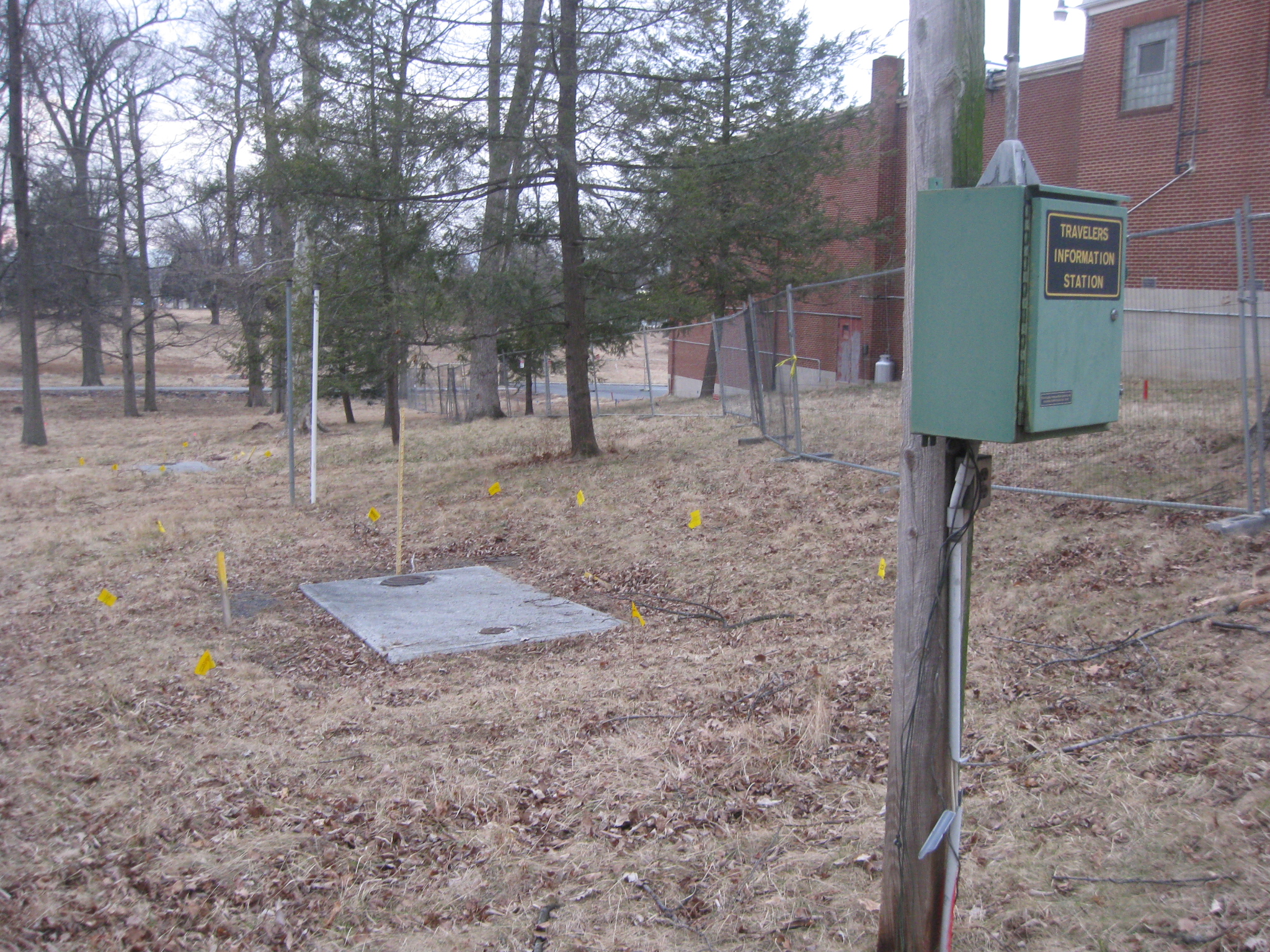
Of course they’re not only taking down the buildings, they have to remove the utilities… This view was taken facing west at approximately 5:00 PM on Thursday, February 26, 2009.
…including the gas lines. This view was taken facing east at approximately 5:00 PM on Thursday, February 26, 2009.
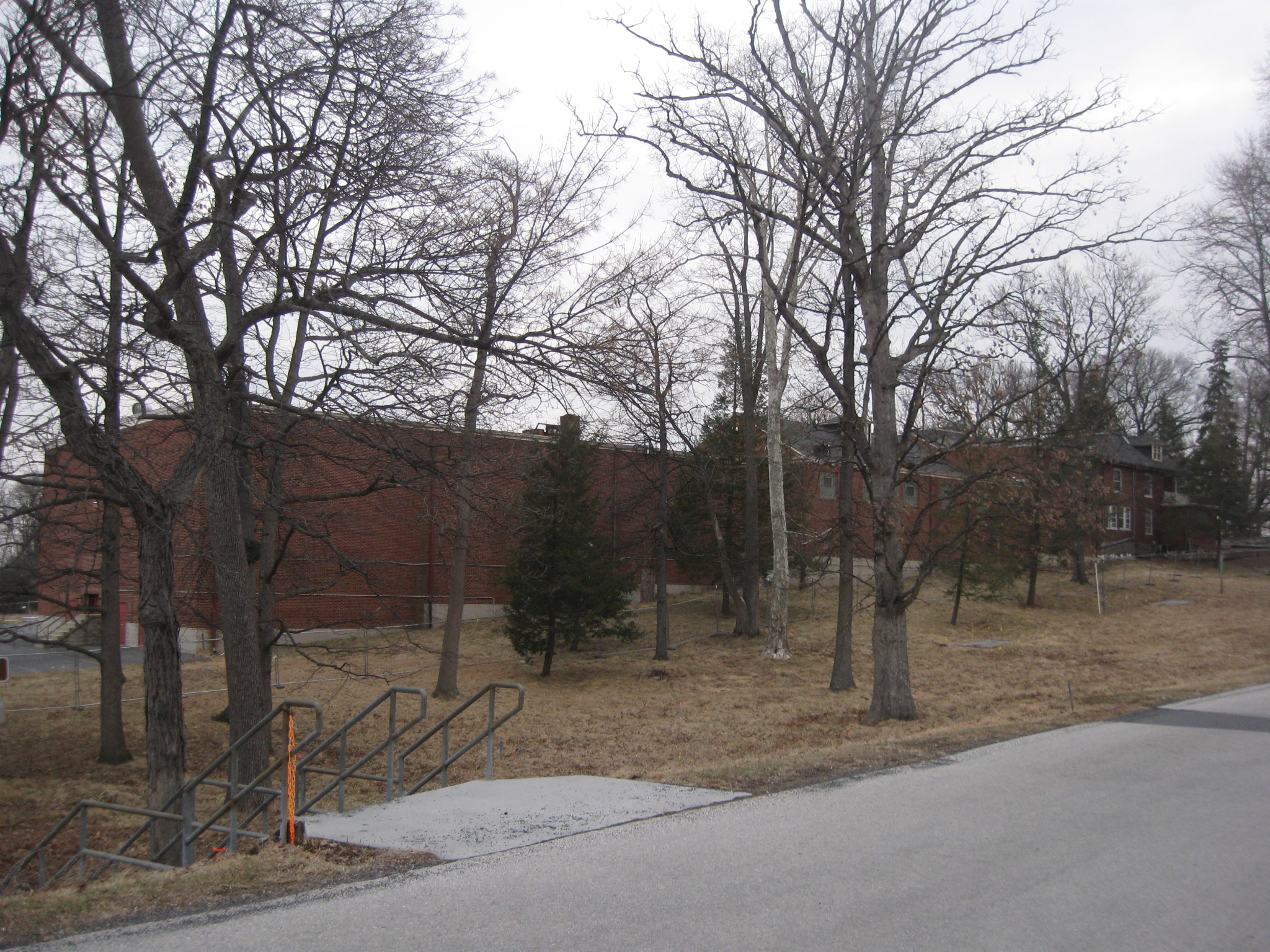
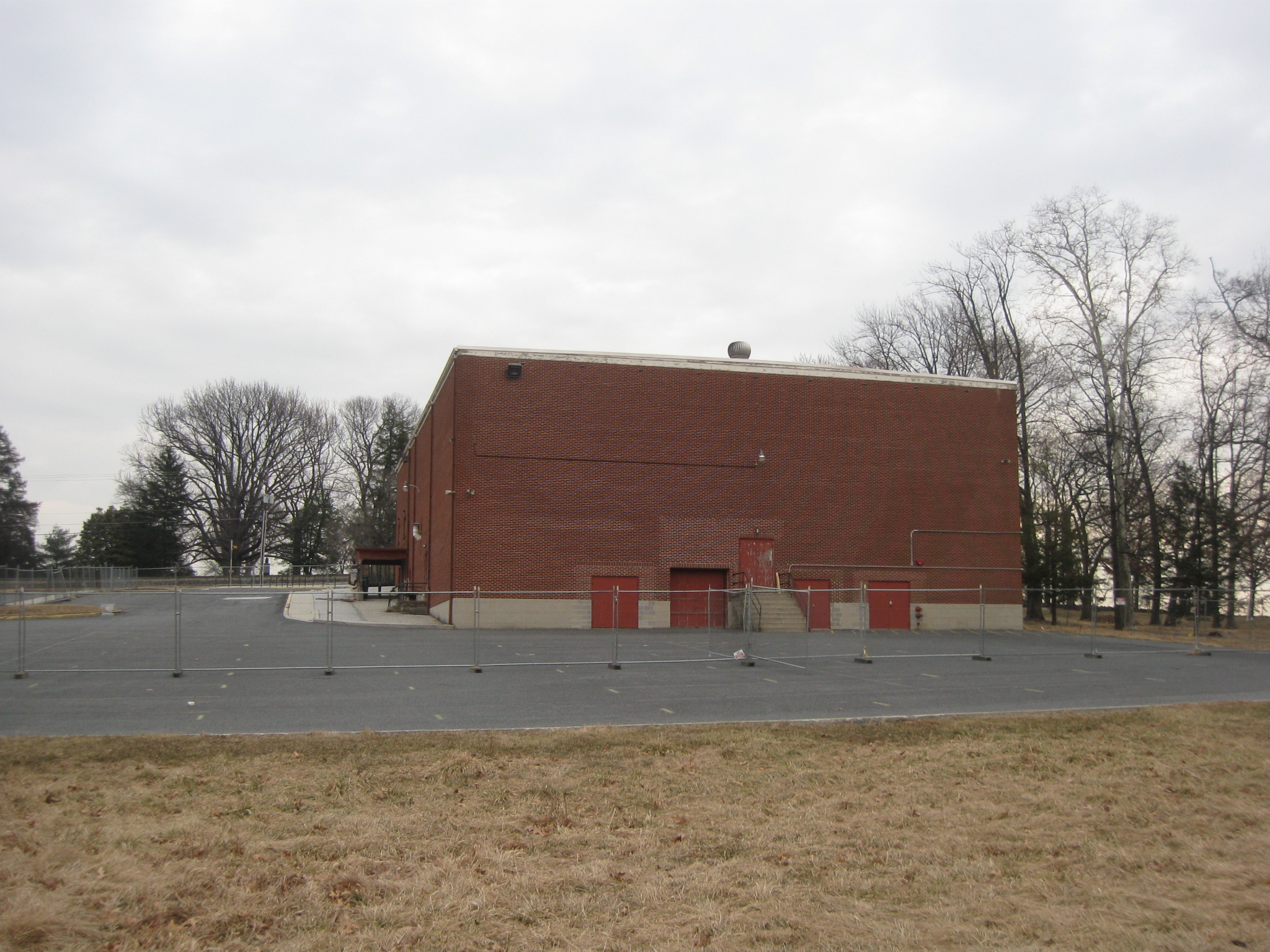
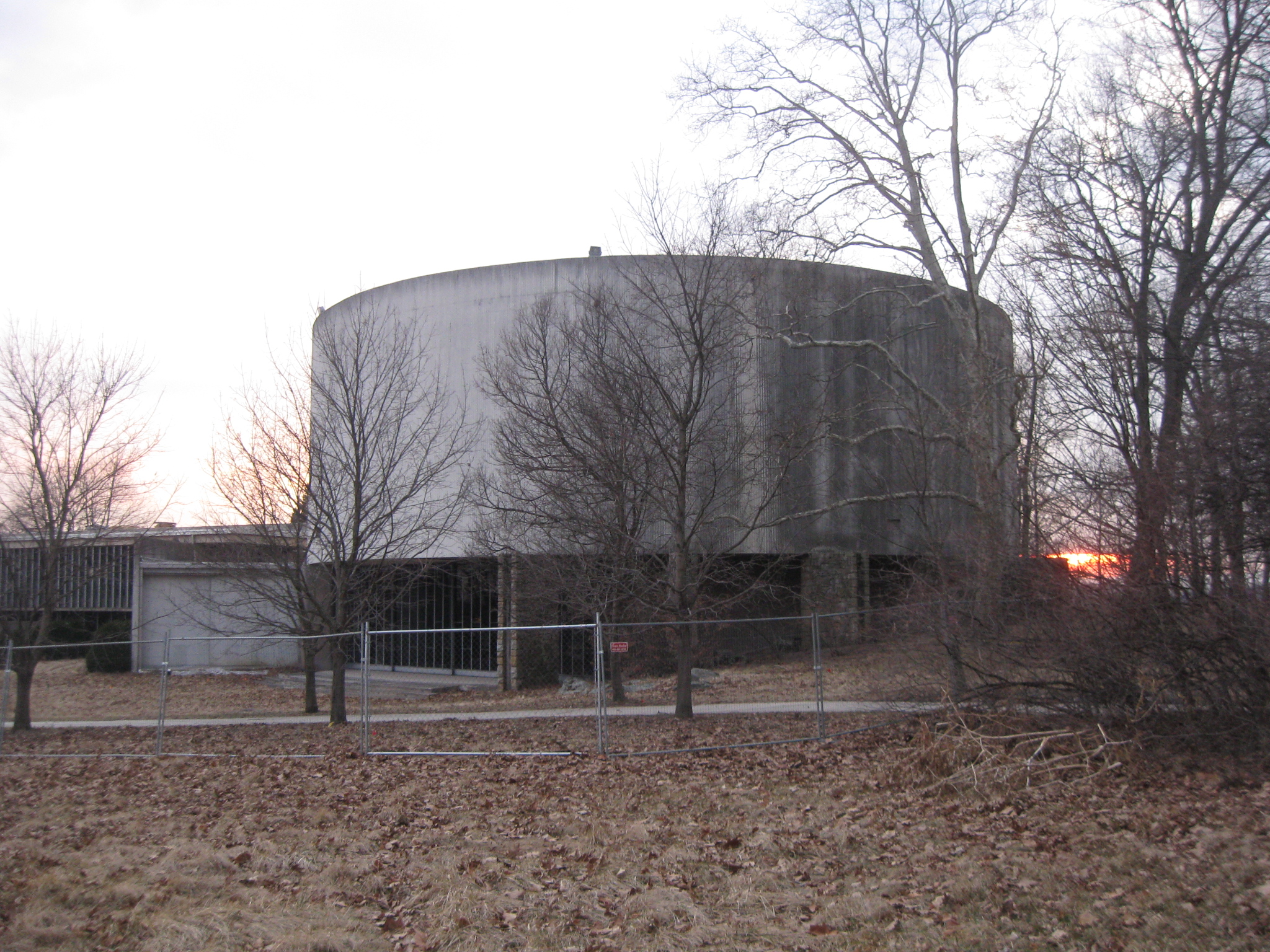
This is a long building. One has to stand fairly far away from it to get it all within the image. This view was taken facing northeast at approximately 5:30 PM on Thursday, February 26, 2009.
Towards the bottom of Cemetery Hill, the fence begins heading to the north. This view was taken facing east at approximately 5:30 PM on Thursday, February 26, 2009.
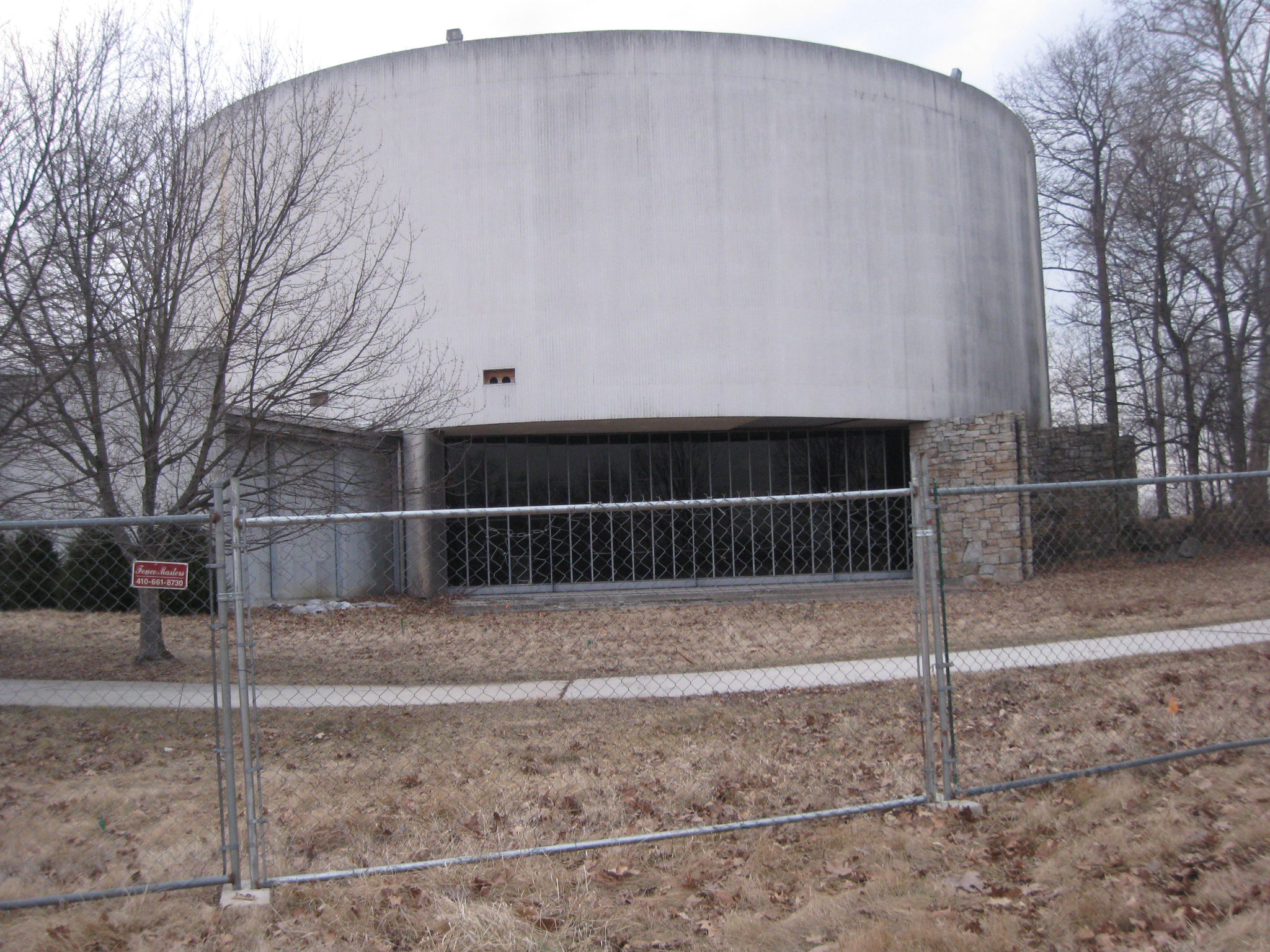
We’re now at the rear/west/1962 side of the building. This view was taken facing northeast at approximately 5:00 PM on Thursday, February 26, 2009.
This section of the building housed the last Electric Map. This view was taken facing northeast at approximately 5:00 PM on Thursday, February 26, 2009.
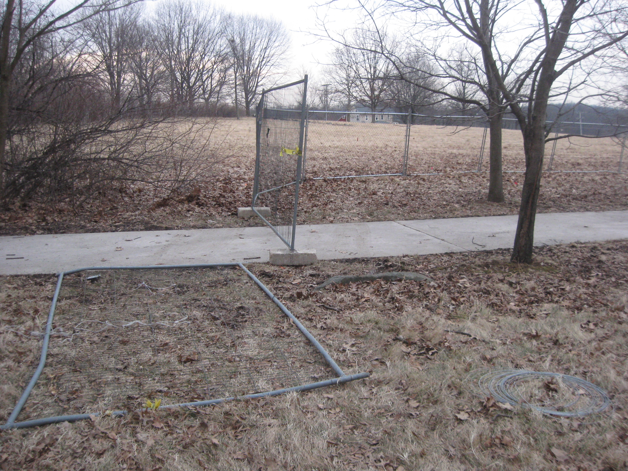
This section of the parking lot is where buses were parked on very busy spring days. This view was taken facing east at approximately 5:00 PM on Thursday, February 26, 2009.
Here the fence turns to the east. This view was taken facing southeast at approximately 5:00 PM on Thursday, February 26, 2009.
We’ll start to follow it uphill. This view was taken facing southeast at approximately 5:00 PM on Thursday, February 26, 2009.
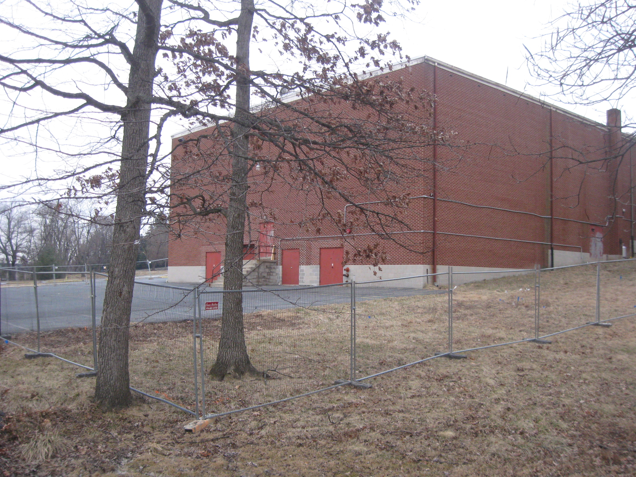
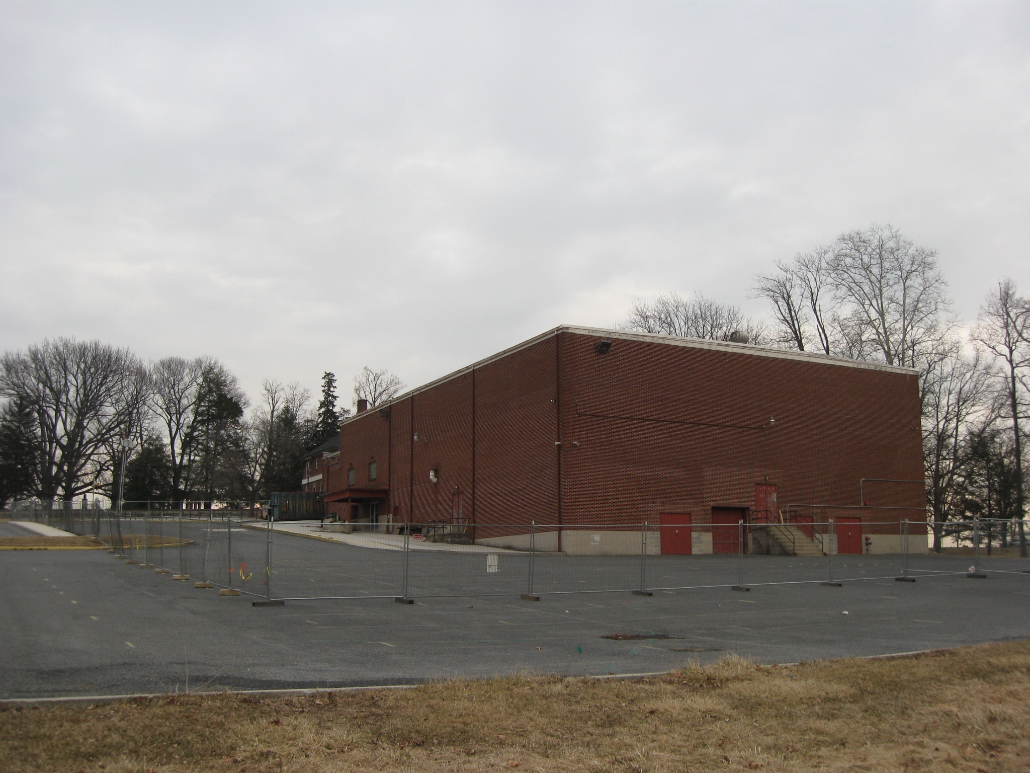
Again we have to stand back pretty far to get a photograph of the complete building. This view was taken facing southeast at approximately 5:00 PM on Thursday, February 26, 2009.
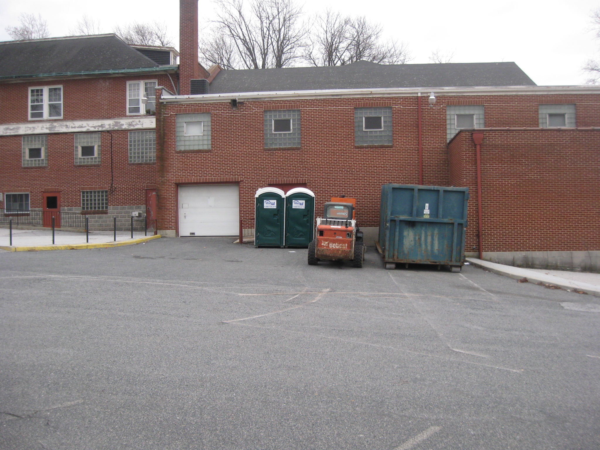
As we get to the top of the hill, some equipment has showed up on the north side of the building… This view was taken facing south at approximately 5:00 PM on Thursday, February 26, 2009.
…including a dumpster and “Port O Potties.” This view was taken facing south at approximately 5:00 PM on Thursday, February 26, 2009.
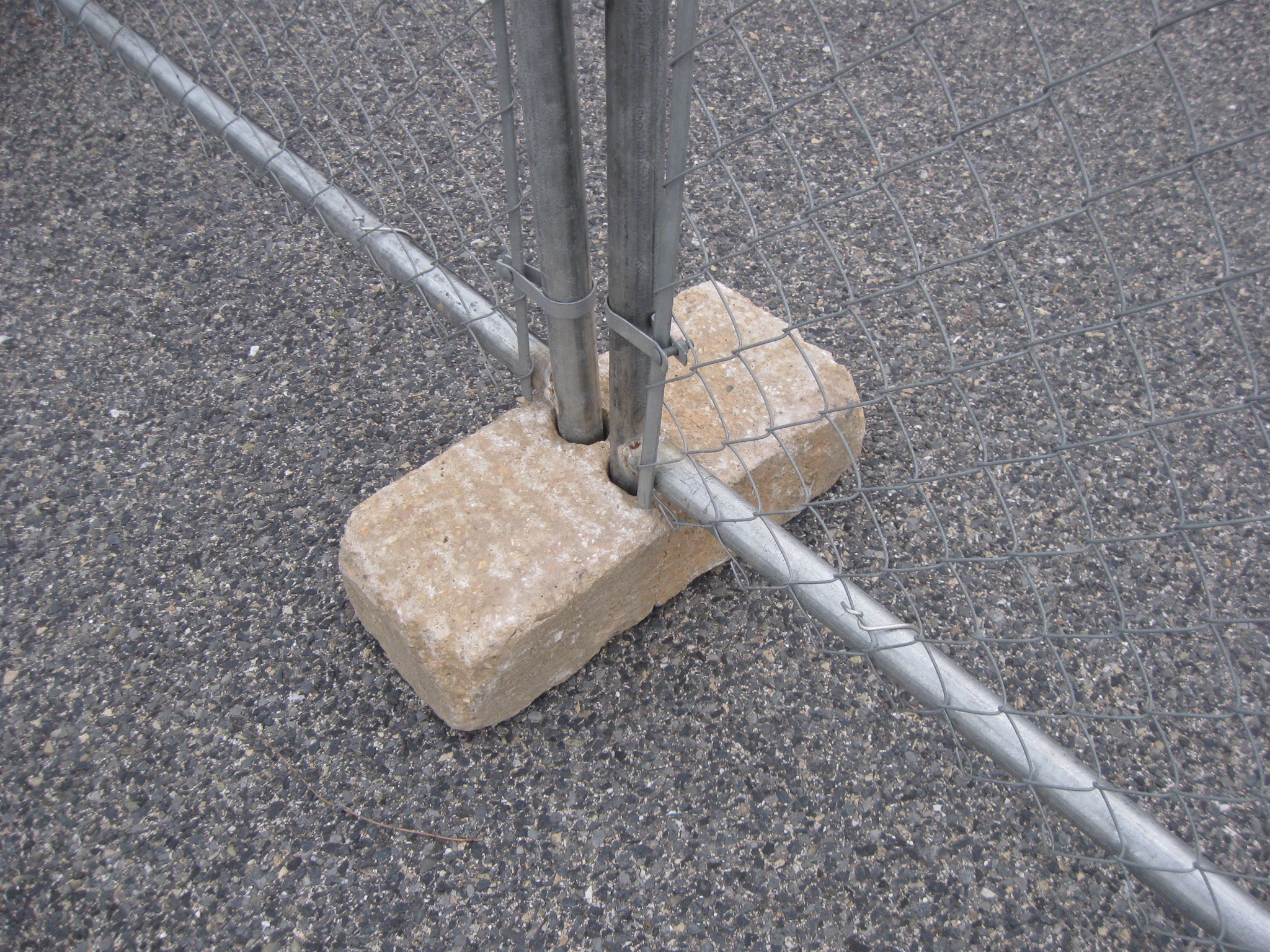
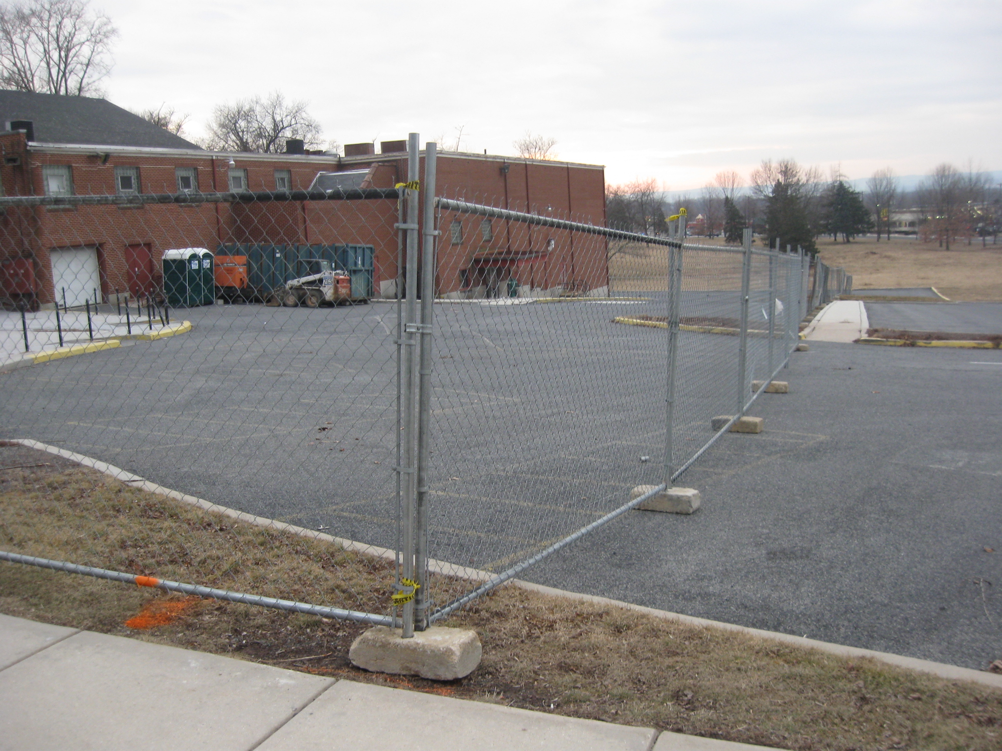
This view was taken in case you were wondering how the fence was held in place. This view was taken facing southeast at approximately 5:00 PM on Thursday, February 26, 2009.
At the sidewalk the fence turns to the south. This view was taken facing southwest at approximately 5:15 PM on Thursday, February 26, 2009.
We’ll take another look downhill. This view was taken facing west at approximately 5:15 PM on Thursday, February 26, 2009.
As we move closer to the building, one won’t soon forget the restrooms on the north side. The women’s room was the door closest to us, and the men’s room was down by the water fountain. This view was taken facing southwest at approximately 5:15 PM on Thursday, February 26, 2009.
The leaves have piled up by the entrance. This view was taken facing southwest at approximately 5:15 PM on Thursday, February 26, 2009.
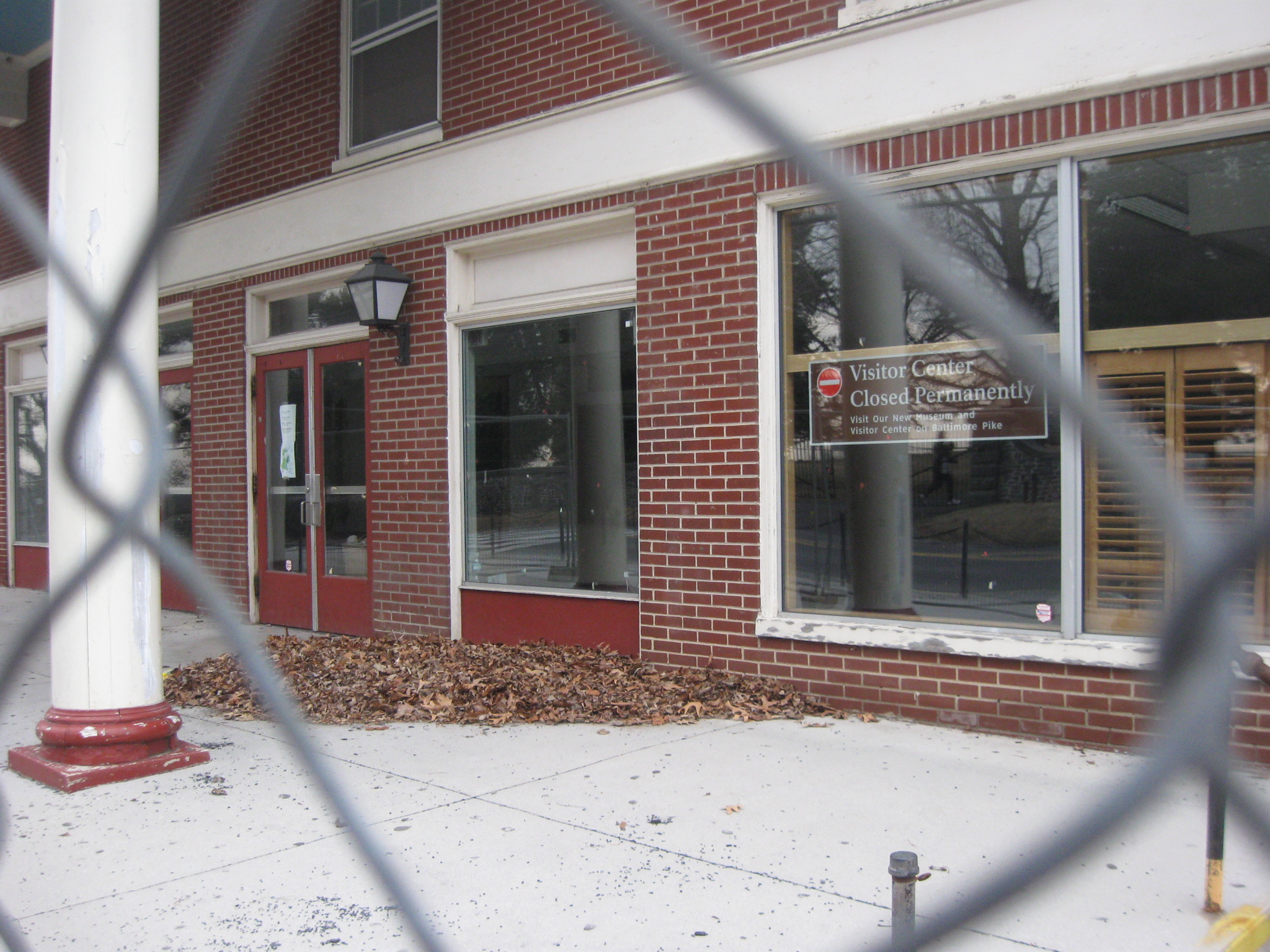
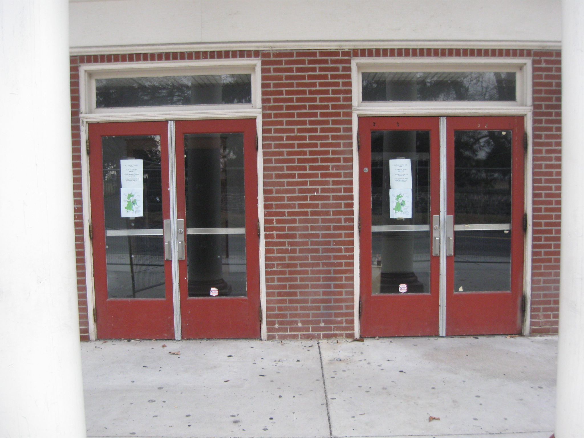
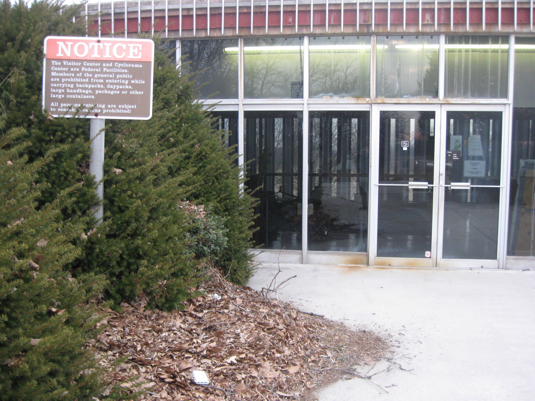
The Visitor Center front doors through which millions of people entered and exited. This view was taken facing west at approximately 5:15 PM on Thursday, February 26, 2009.
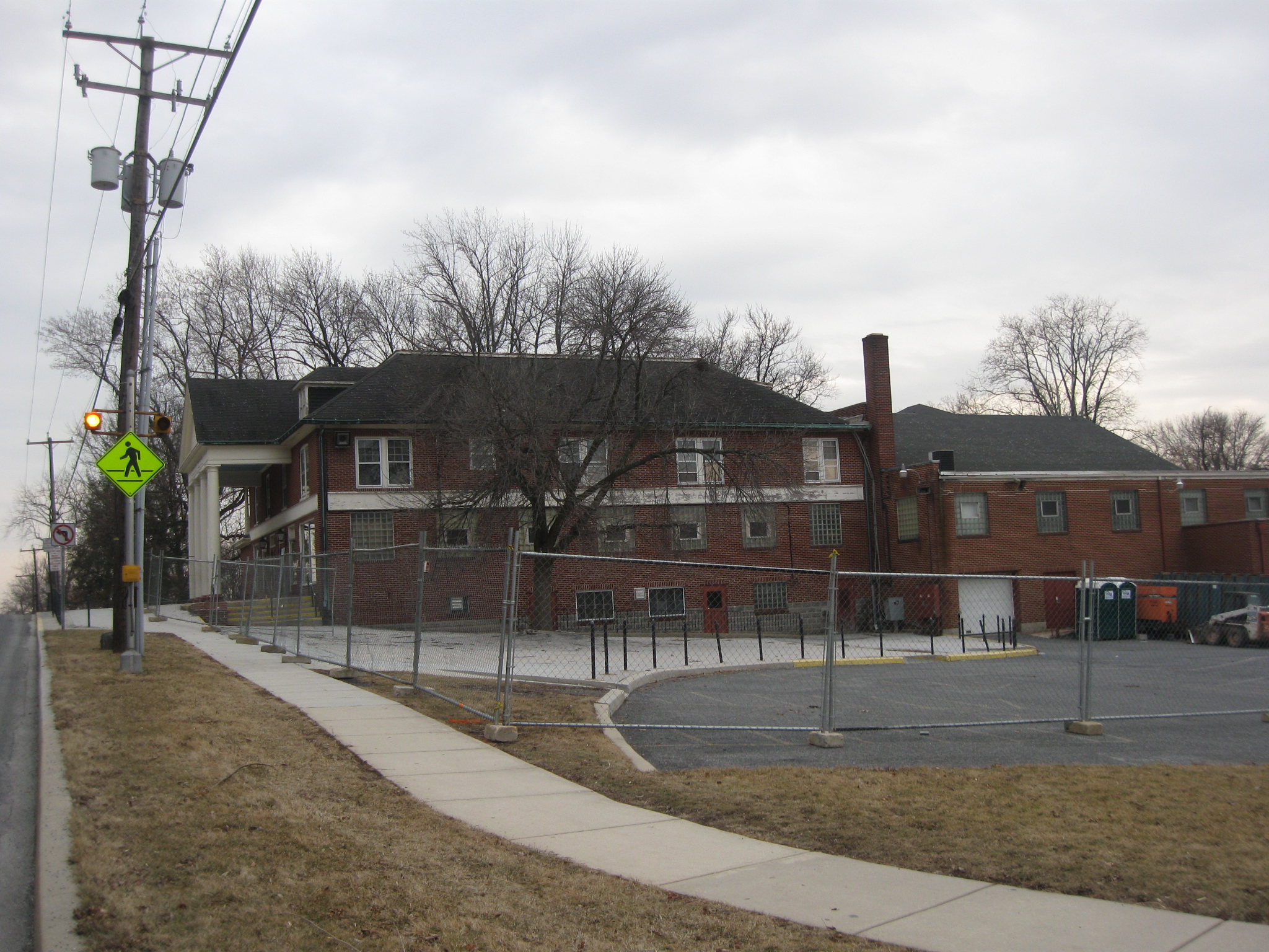
The Electric Map Visitor Center sat for 88 years across the street from the Taneytown Road entrance to the National Cemetery. This view was taken facing west at approximately 5:15 PM on Thursday, February 26, 2009.
At the bottom of this picture is the top of the stone wall at the National Cemetery. This view was taken facing west at approximately 5:15 PM on Thursday, February 26, 2009.
We are at the Taneytown Road Entrance to the Soldiers’ National Cemetery as shown by the white crosswalk across the Taneytown Road. This view was taken facing northwest at approximately 5:15 PM on Thursday, February 26, 2009.
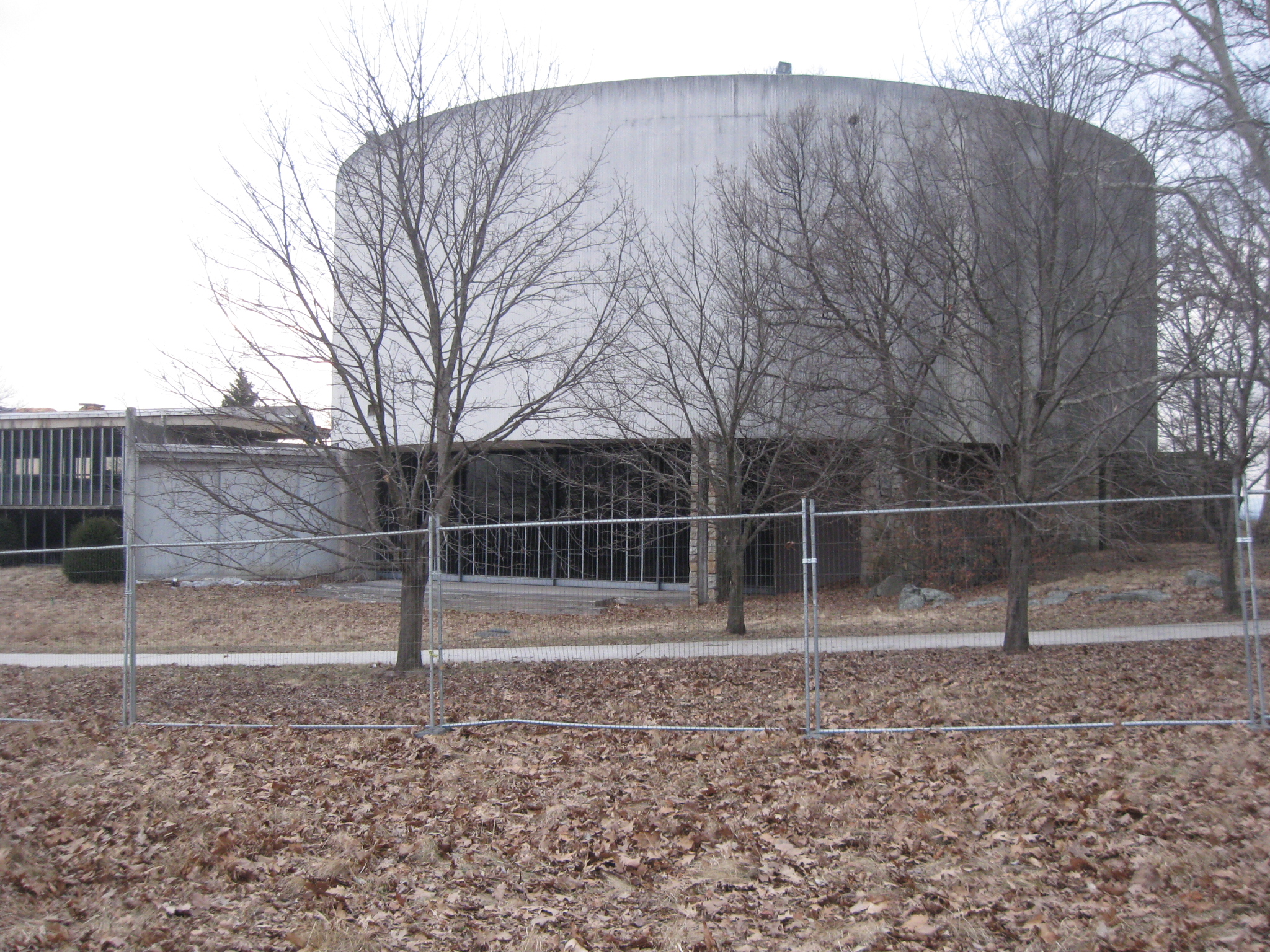
The Cyclorama Center has fencing mostly on its east and south sides. This view was taken facing southwest at approximately 5:30 PM on Thursday, February 26, 2009.
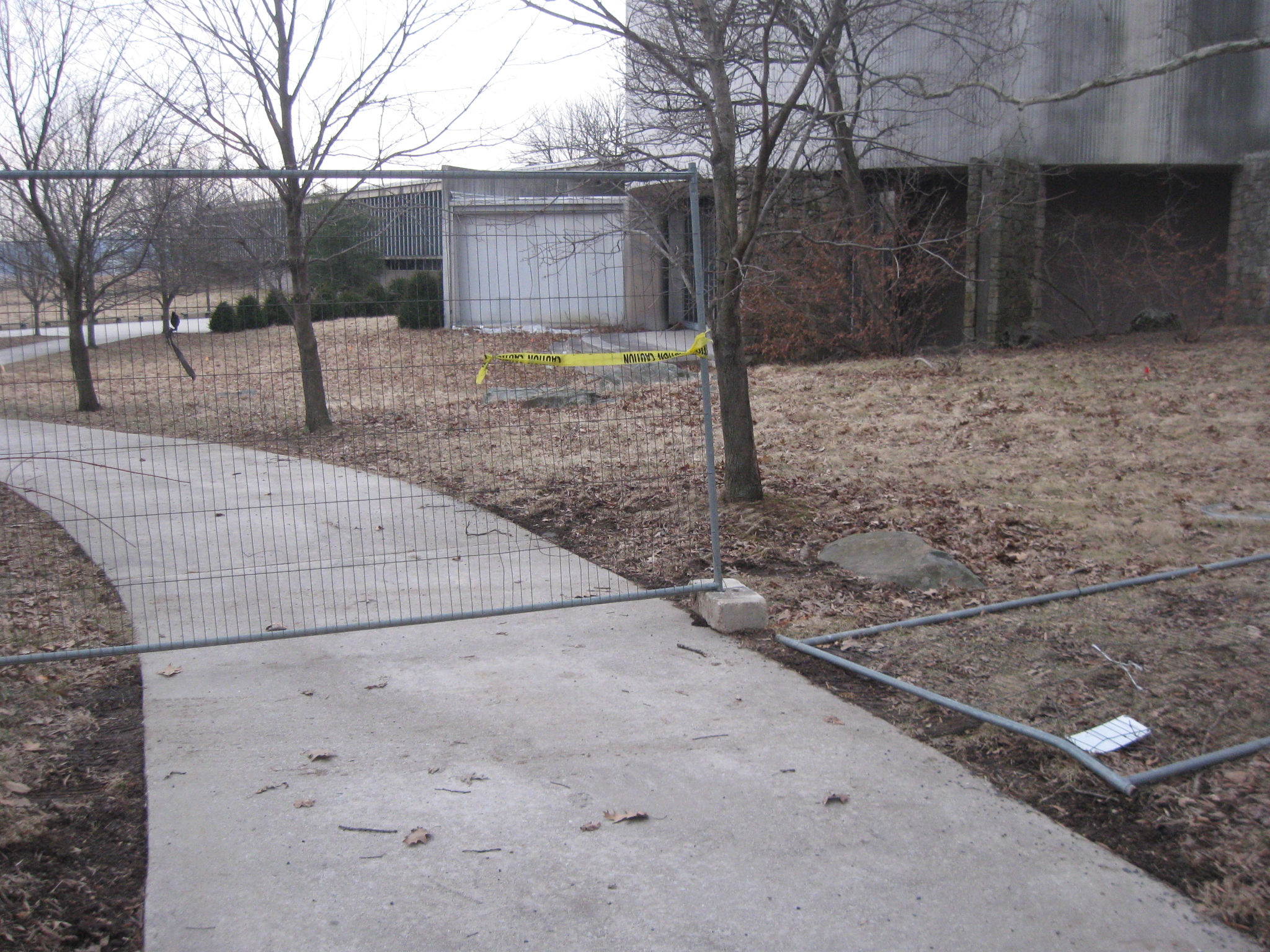
Thursday night the fence ended at the sidewalk leading to the back (east) entrance to the Cyclorama. This view was taken facing south at approximately 5:30 PM on Thursday, February 26, 2009.
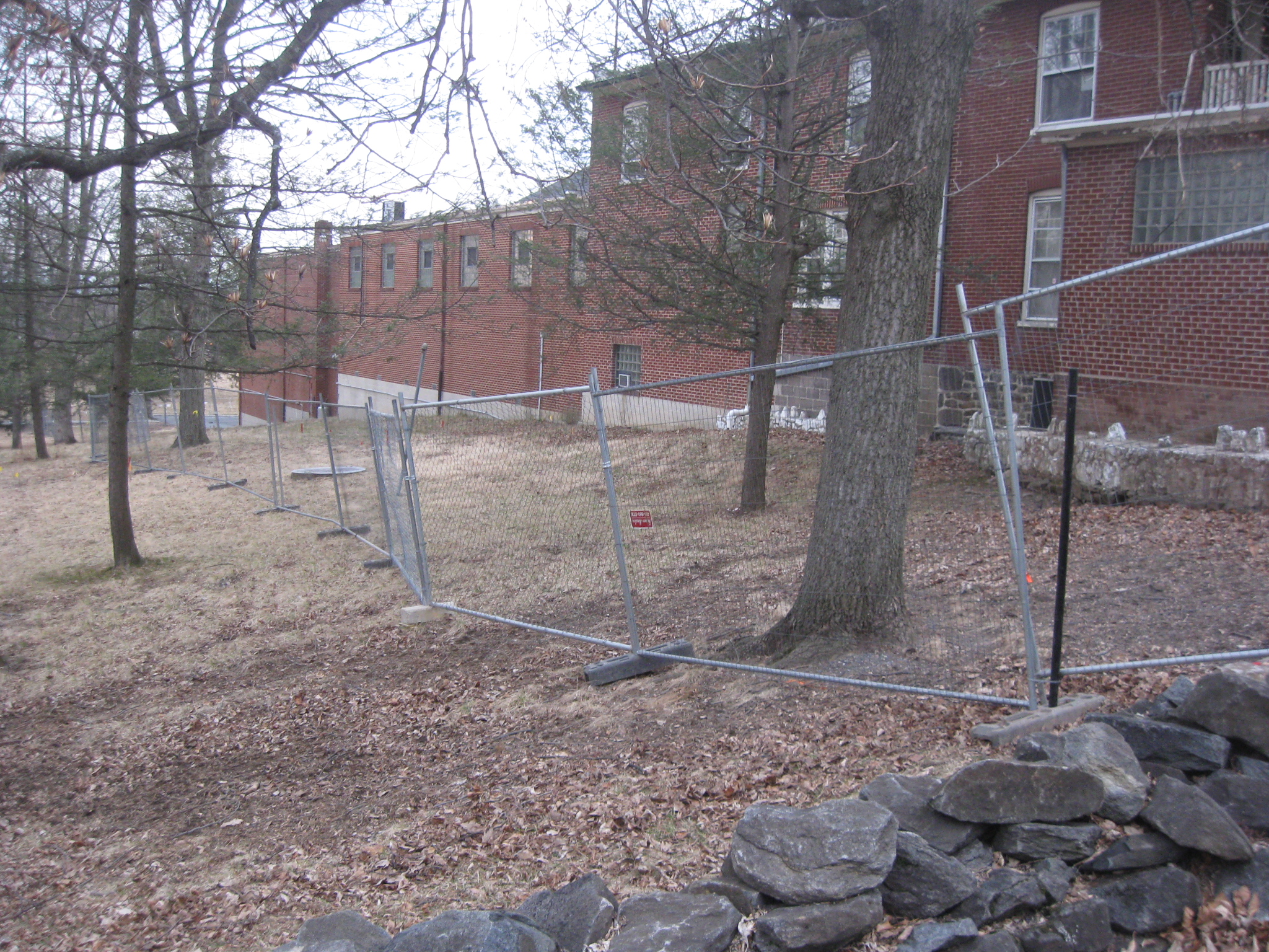
We’ll move along the north side of the building where the fence has not yet been completed. This view was taken facing west at approximately 5:30 PM on Thursday, February 26, 2009.
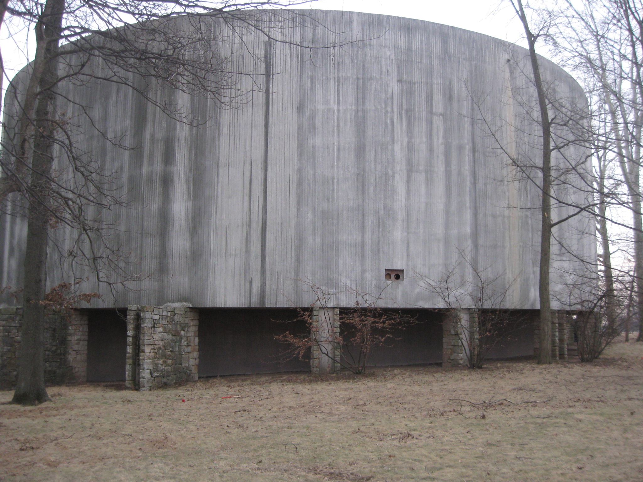
The fenceless north side of the “oil drum.” This view was taken facing south at approximately 5:30 PM on Thursday, February 26, 2009.
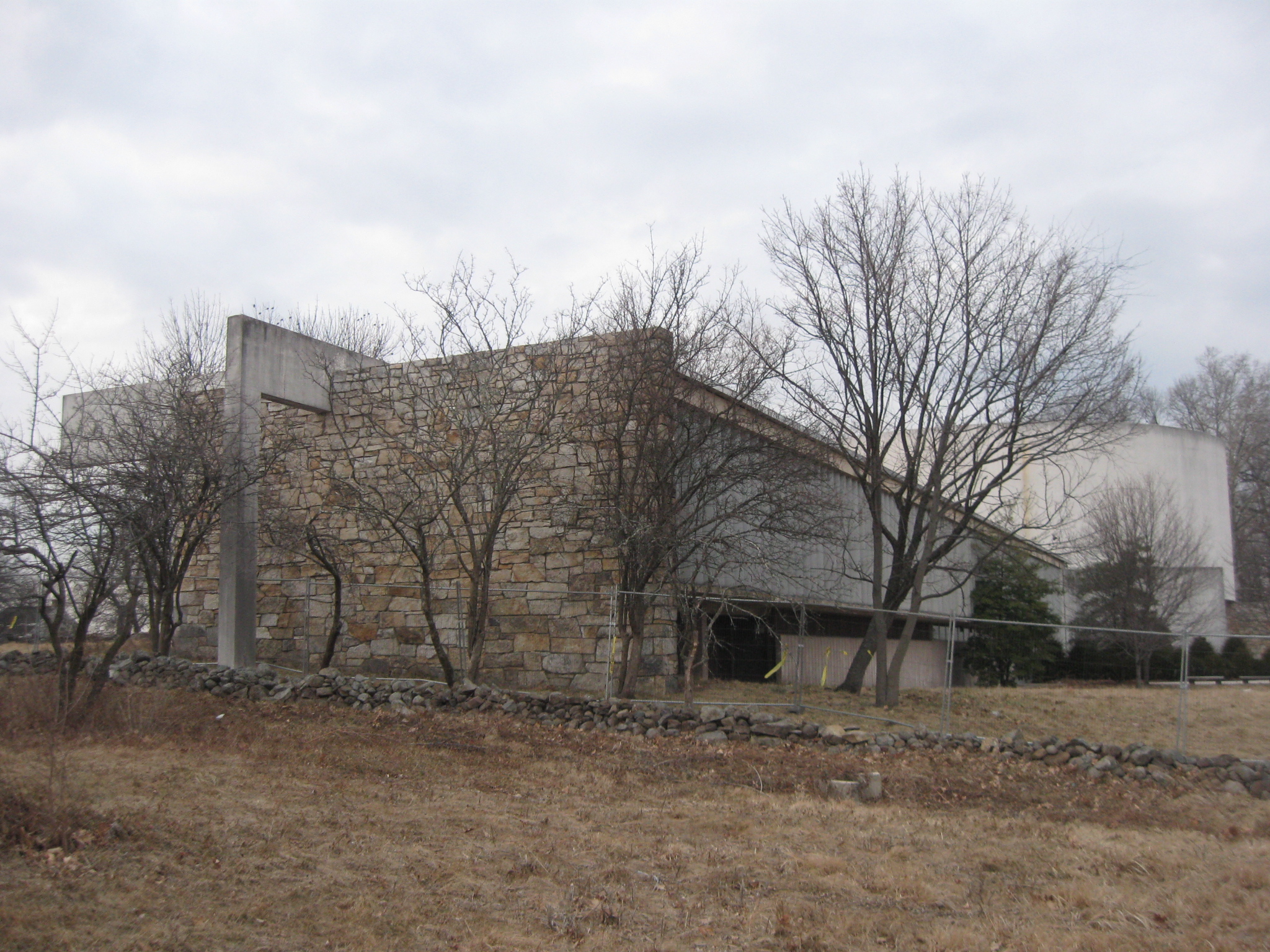
The fenceless northwest side of the Cyclorama. This view was taken facing southeast at approximately 5:30 PM on Thursday, February 26, 2009.
The west side of the Cyclorama does not yet have a fence around it. This view was taken facing east at approximately 5:30 PM on Thursday, February 26, 2009.
One may still go up to the front… This view was taken facing east at approximately 5:30 PM on Thursday, February 26, 2009.
…(west) entrance. This view was taken facing northeast at approximately 5:30 PM on Thursday, February 26, 2009.
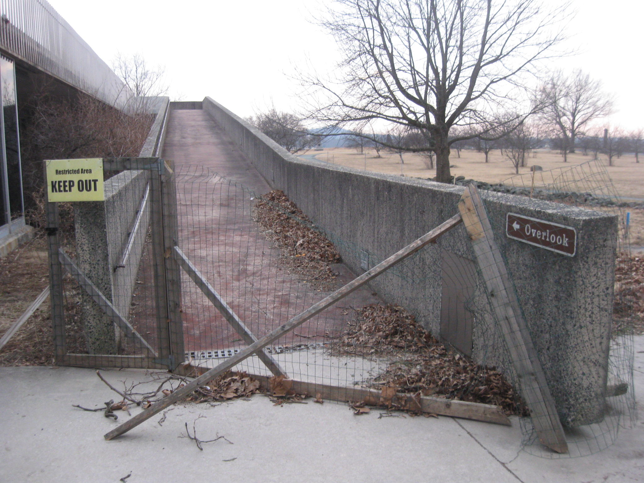
Of course the ramp to the observation deck has been closed for a long time. This view was taken facing south at approximately 5:30 PM on Thursday, February 26, 2009.
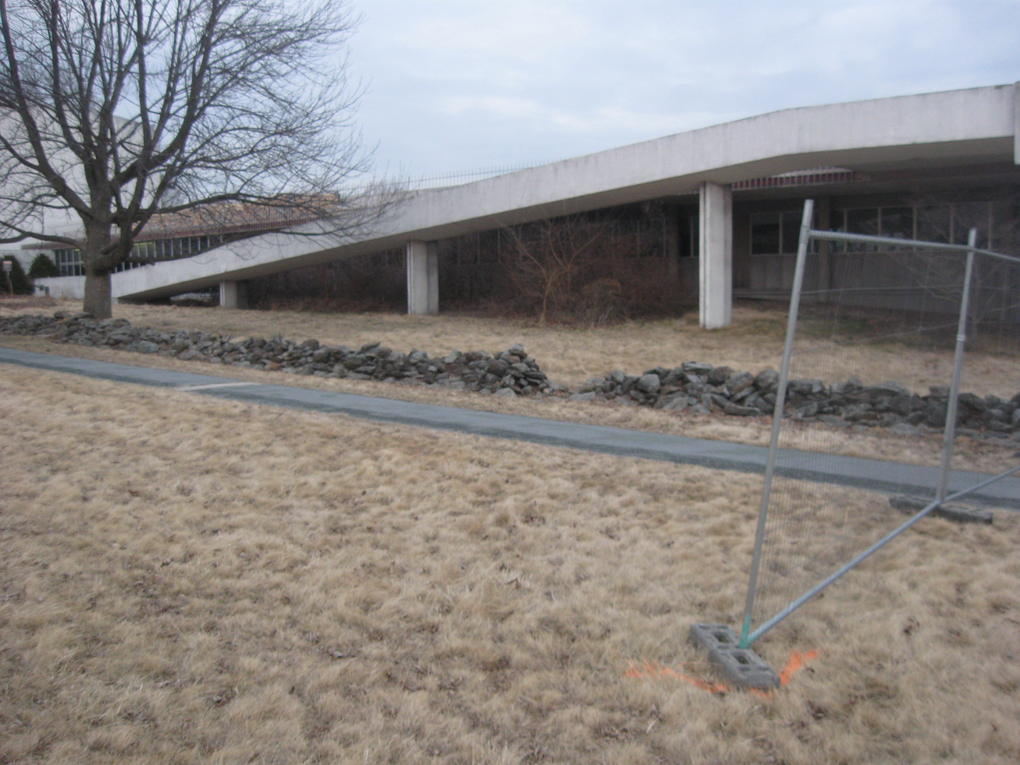
The new fence on the west side of the Cyclorama building will enclose this wayside exhibit. This view was taken facing west at approximately 5:30 PM on Thursday, February 26, 2009.
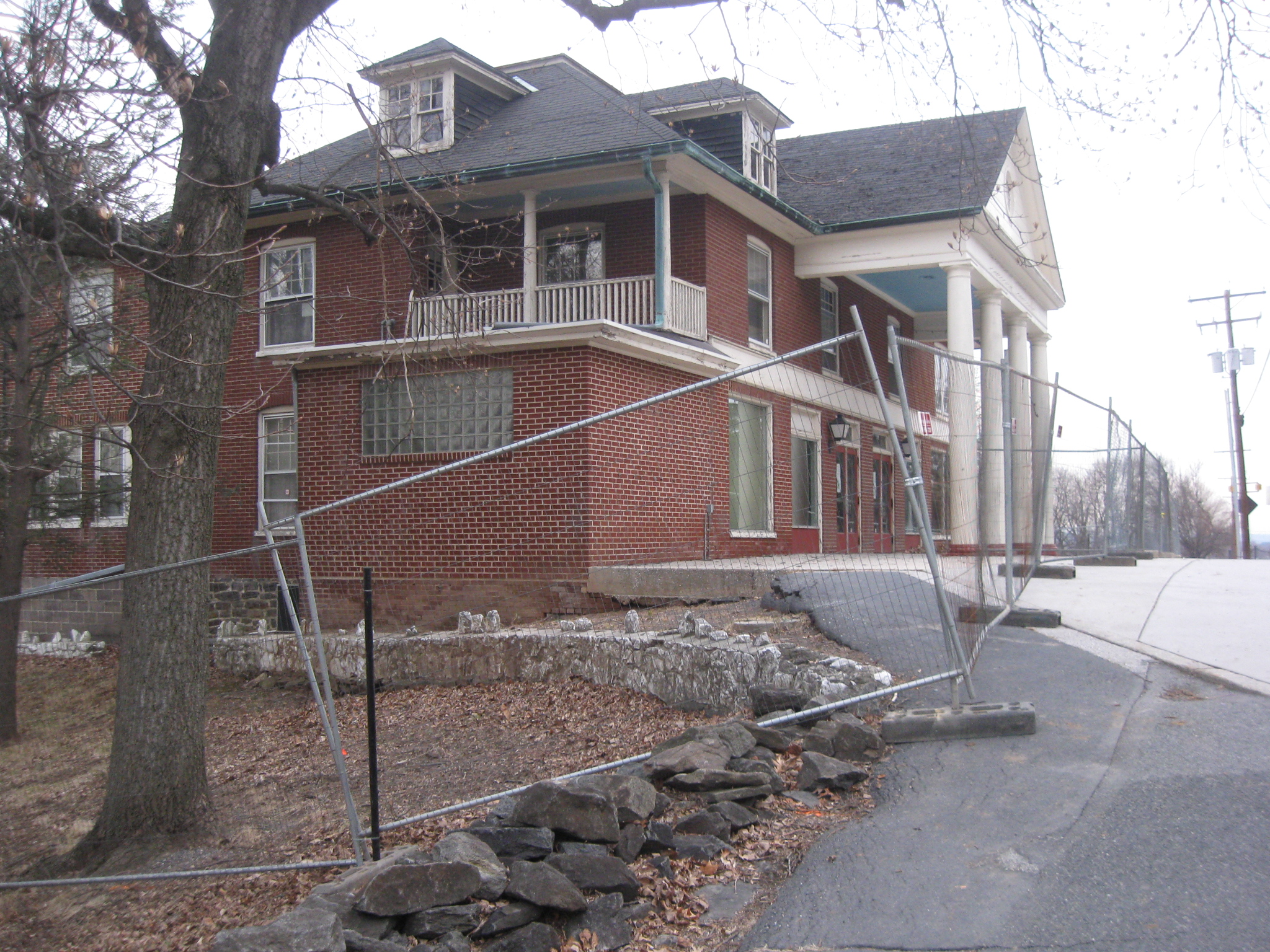
Traveling south on the sidwalk along the west side of the Cyclorama one finally encounters another construction fence. This view was taken facing northeast at approximately 5:30 PM on Thursday, February 26, 2009.
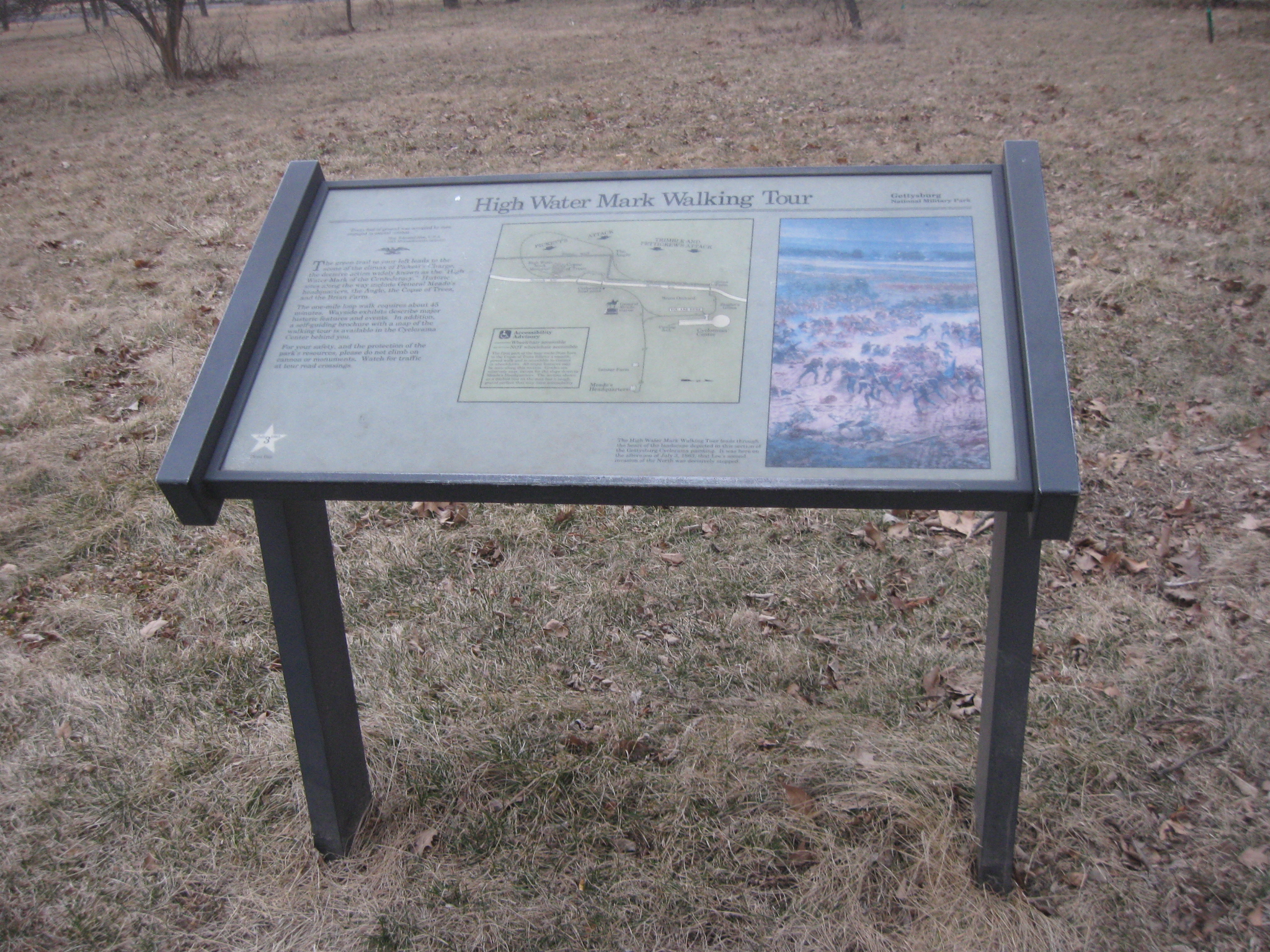
The fence covers a sidewalk constructed for the visually impaired. The raised part of the sidewalk on the left side was to assist individuals in walking towards the High Water Mark. The money for the sidewalk was donated to the National Park Service by its former nonprofit partner, Eastern National Park & Monument Association. This view was taken facing north at approximately 5:30 PM on Thursday, February 26, 2009.
The fence heads east along the south side of the building. This view was taken facing east at approximately 5:30 PM on Thursday, February 26, 2009.
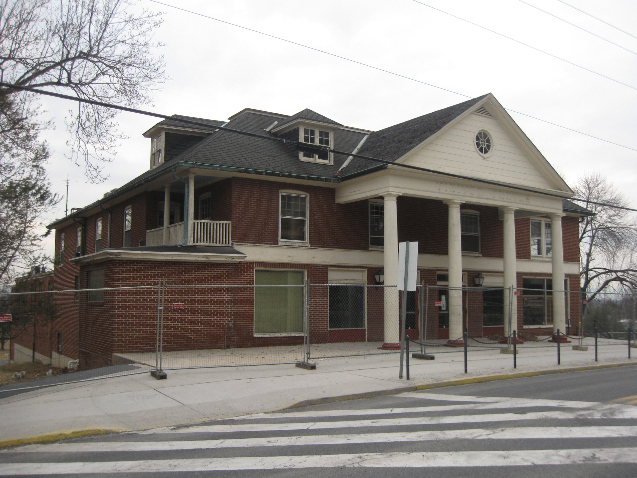
The Cyclorama Center was one of 100 modern visitor centers built at park sites as part of Mission 66, a 10-year program launched in 1956 to celebrate the 50th anniversary of the National Park Service in 1966. This view was taken facing northwest at approximately 5:30 PM on Thursday, February 26, 2009.
The Cyclorama Center cost $1 million in 1962. This view was taken facing northwest at approximately 5:30 PM on Thursday, February 26, 2009.
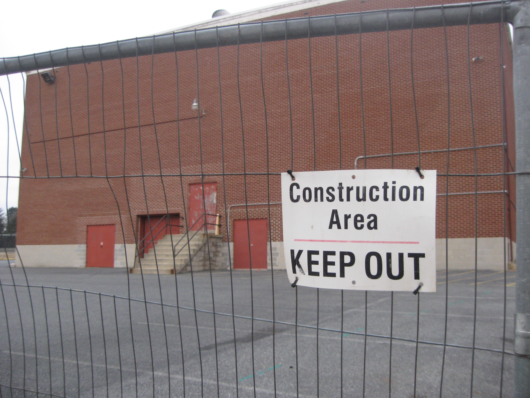
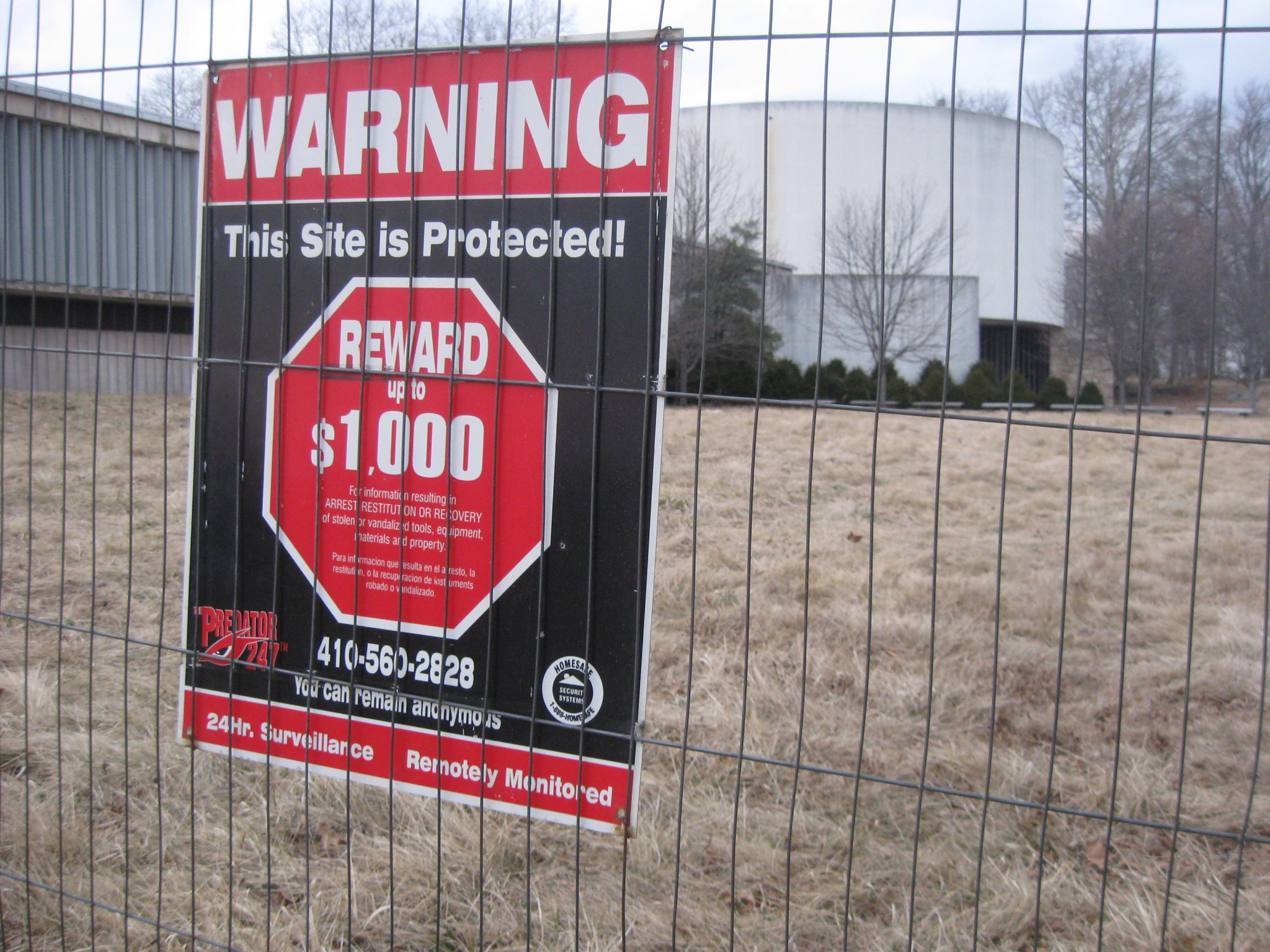
If you believe the bottom of this sign, to keep one out of this demolition site it is monitored remotely 24 hours a day. Wouldn’t it be nice to have that capability around some of the monuments? This view was taken facing northwest at approximately 5:30 PM on Thursday, February 26, 2009.
The fence then heads to the north. This view was taken facing west at approximately 5:30 PM on Thursday, February 26, 2009.
For those who are curious, here’s what’s keeping the fences in place. This view was taken facing northwest at approximately 5:30 PM on Thursday, February 26, 2009.
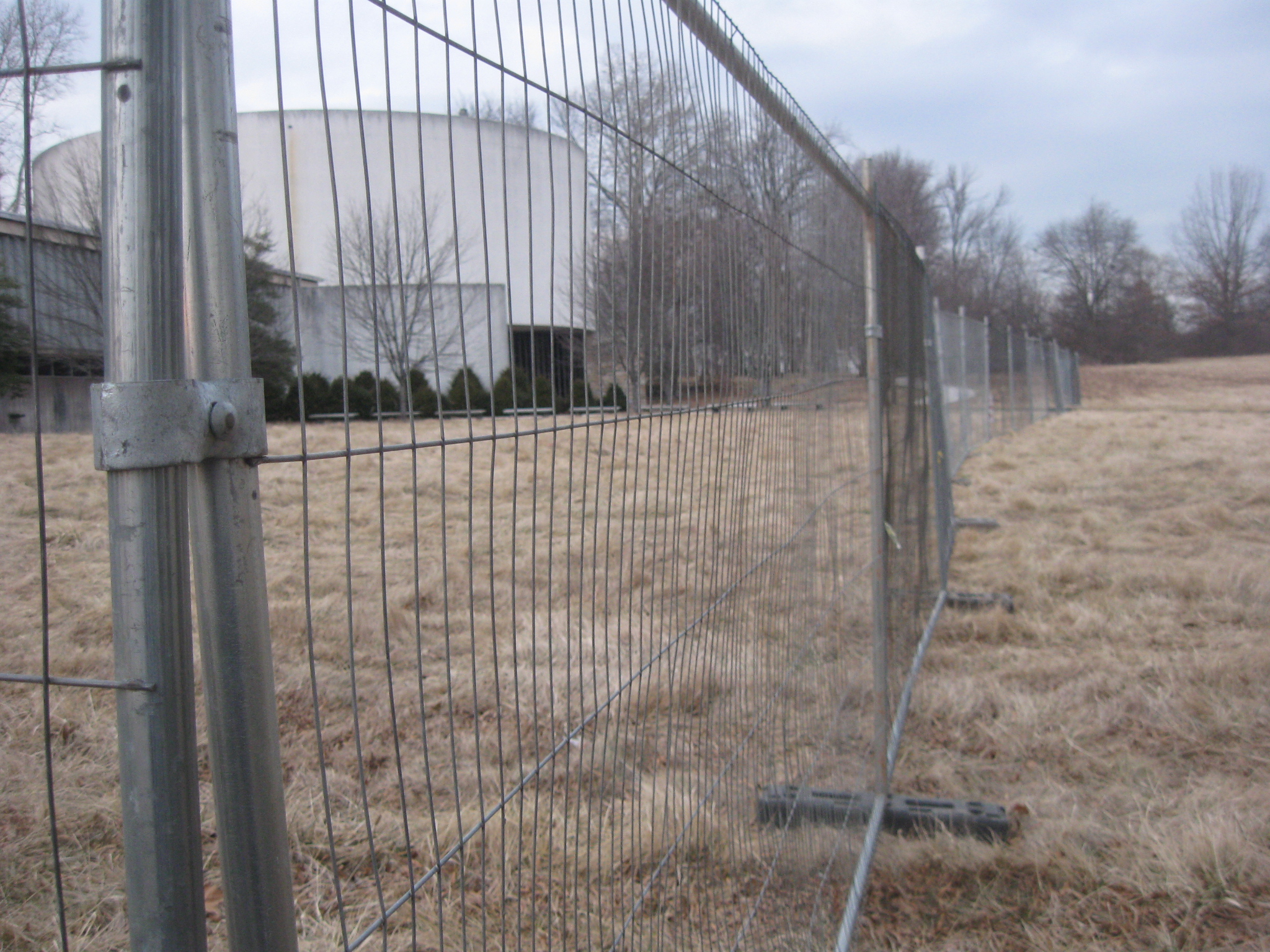
We’ll now walk north along the fence towards the Cyclorama parking lot. This view was taken facing north at approximately 5:30 PM on Thursday, February 26, 2009.
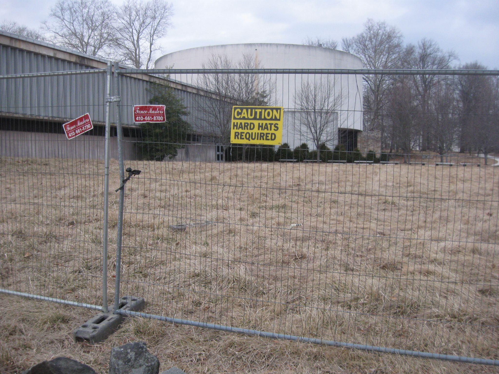
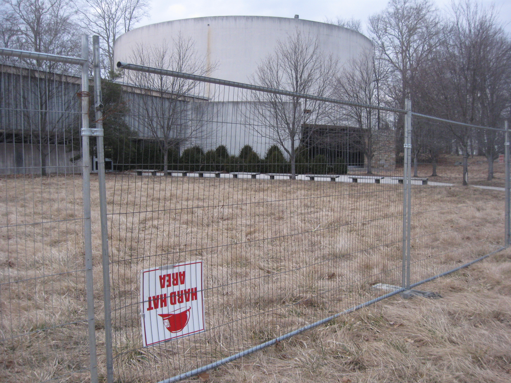
The hard hat sign must have been placed to aid people who walk on their hands. This view was taken facing northwest at approximately 5:45 PM on Thursday, February 26, 2009.
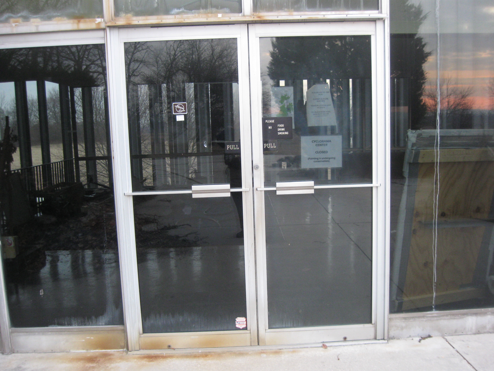
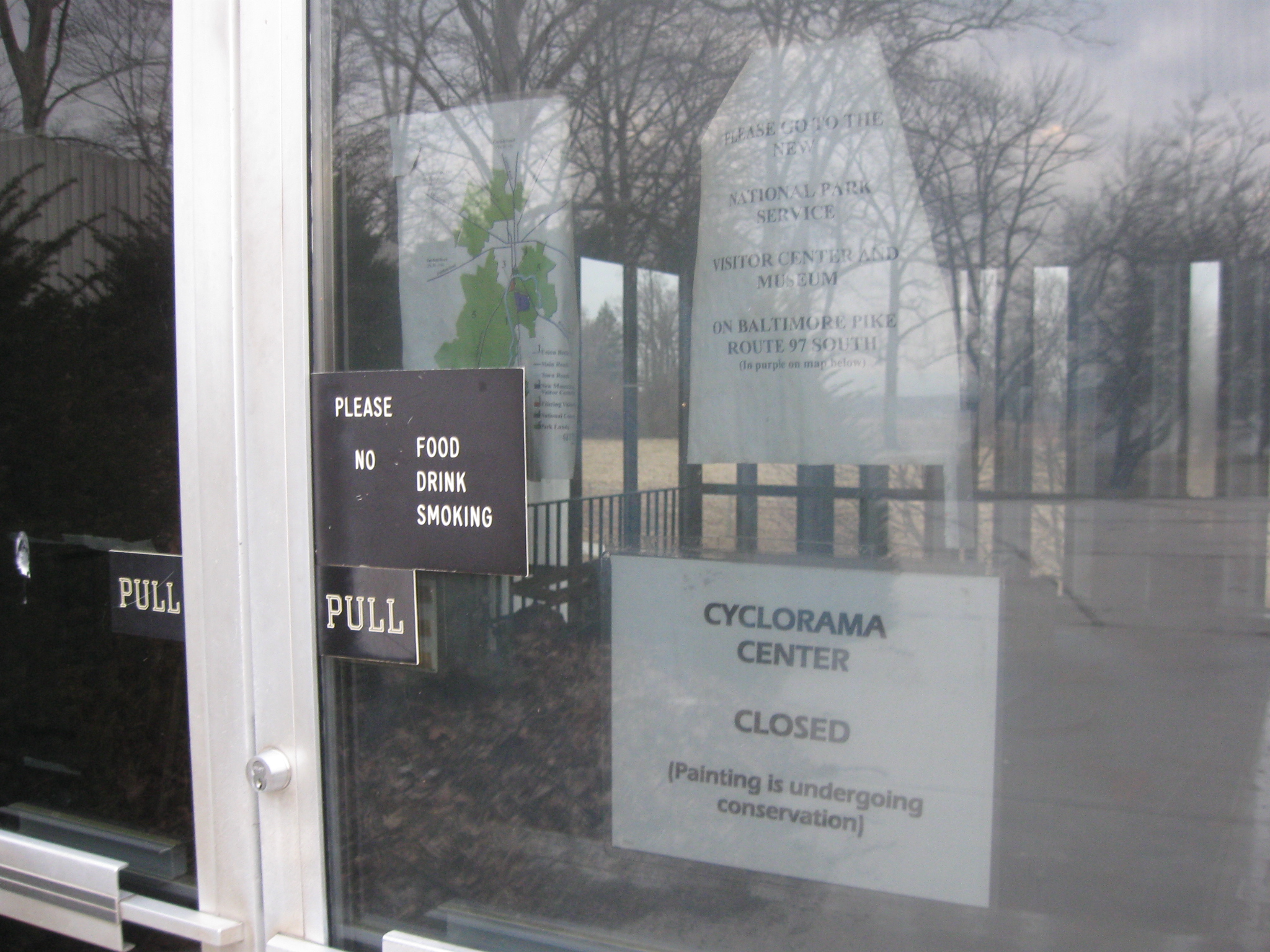
The rear (east) entrance to the Cyclorama. This was the most popular entrance since it was the closest to the Cyclorama parking lot. The Cyclorama information desk was located near this entrance. This view was taken facing west at approximately 5:45 PM on Thursday, February 26, 2009.
Former President Dwight D. Eisenhower dedicated the Cyclorama building in 1962. This view was taken facing northwest at approximately 5:45 PM on Thursday, February 26, 2009.
The glass wall on this east side of the building consists of a couple of large sliding glass doors that were to open up for special events. However, they didn’t work properly and about the only special event for which they were opened was the dedication ceremony in 1962. This view was taken facing west at approximately 5:45 PM on Thursday, February 26, 2009.
Thursday night the fence ended at the sidewalk leading to the Cyclorama parking lot. This view was taken facing southwest at approximately 5:45 PM on Thursday, February 26, 2009.
The fence will probably completely enclose the Cyclorama building today (Friday). This view was taken facing east at approximately 5:30 PM on Thursday, February 26, 2009.
See the following related posts:
Old Visitor Center Lawn in Limbo on May 28, 2008.
Lights Out at the Electric Map on April 13, 2008.
Moving Day at the Gettysburg Visitor Center on April 12, 2008.
An Emptiness at the Visitor Center on March 31, 2008.
Gettysburg Guide Room: The Final Days on March 8, 2008.
A Sunday Afternoon Walk Around the Old Gettysburg Visitor Center on February 24, 2008.