One of our readers informed us last week that he had recently visited Long Lane and that it was significantly overgrown. We decided to visit and unfortunately, he is correct. We know money is tight, but if this area is not taken care of now, what will it look like in a few years?
See the following related posts:
Over One Mile of Fences Constructed on the Pickett’s Charge Fields on June 8, 2008.
New Fences Block Easy Access to Well-Known Civil War Photograph Area on June 19, 2008.
McMillan Apple Orchard Preparation on September 23, 2008.
McMillan Apple Orchard: The Preparation Continues on September 24, 2008.
Peach Orchard and Millerstown Road Fence Updates on April 29, 2009.
McMillan Apple Orchard Update on May 6, 2009.
Historic Long Lane Partially Restored by NPS and Friends Fence Building Volunteers on June 9, 2009.
This map shows the current Long Lane in Colt Park and the historic Long Lane in red. So now there is a row of houses in Colt Park between the two Long Lanes. This map was created facing north at approximately 9:00 PM on Monday, June 8, 2009.
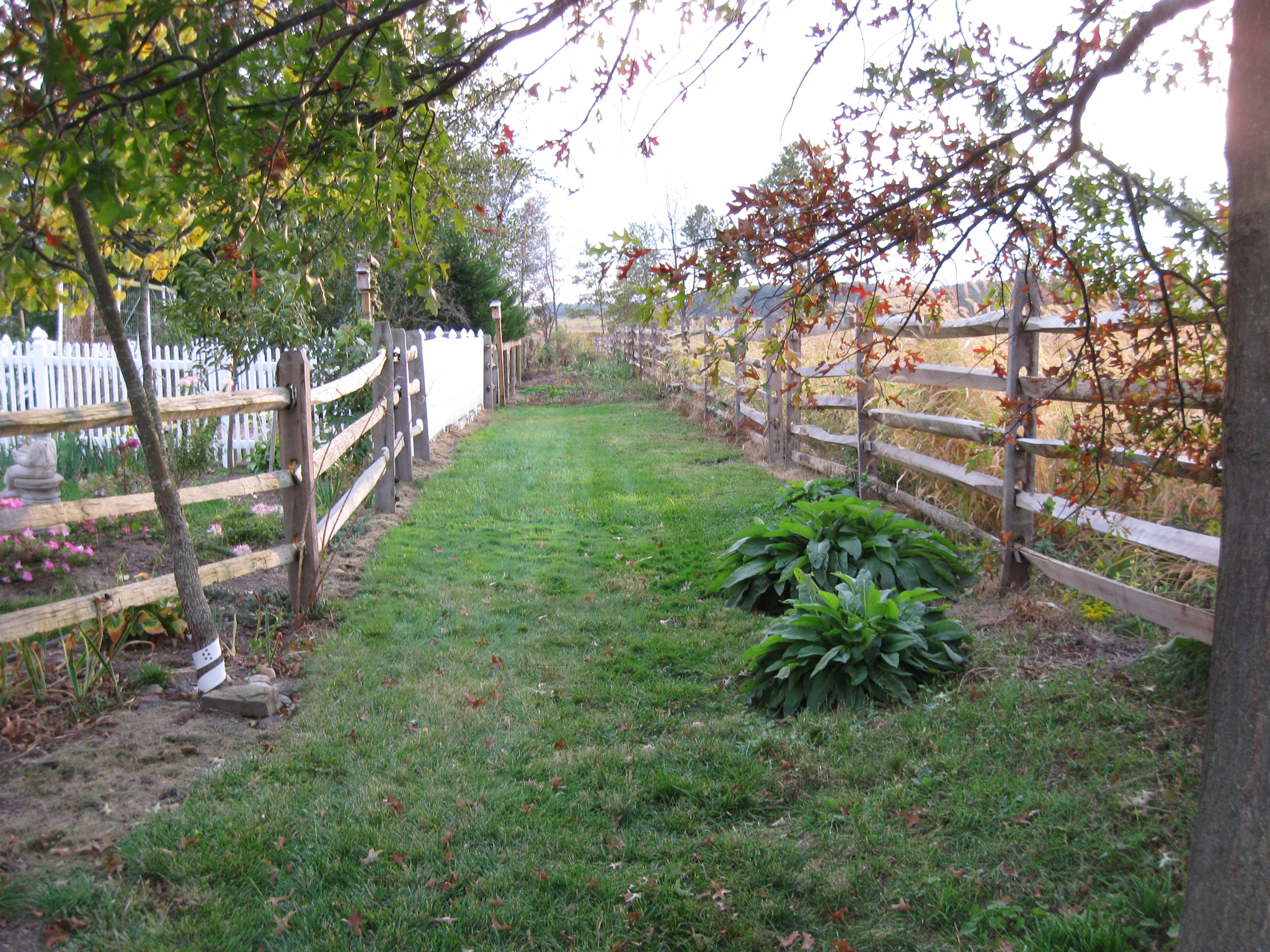
We’re entering the northern part of the restored section, and will take a short walk down the lane. This view was taken facing southwest at approximately 5:30 PM on Tuesday, October 13, 2009.
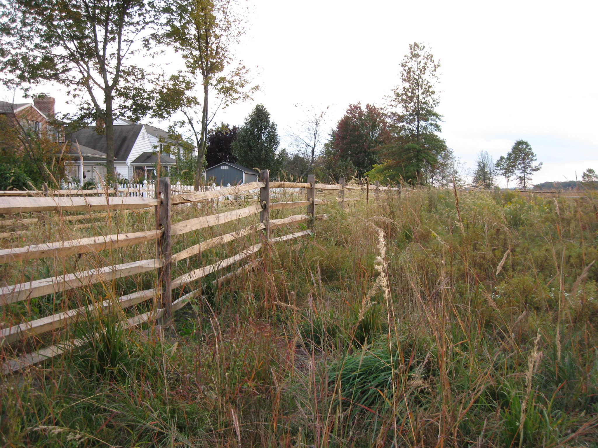
Not very walkable, but not as bad as its going to get. This view was taken facing southwest at approximately 5:30 PM on Tuesday, October 13, 2009.
Much more difficult to walk. This view was taken facing southwest at approximately 5:30 PM on Tuesday, October 13, 2009.
Extremely difficult to walk. This view was taken facing southwest at approximately 5:30 PM on Tuesday, October 13, 2009.
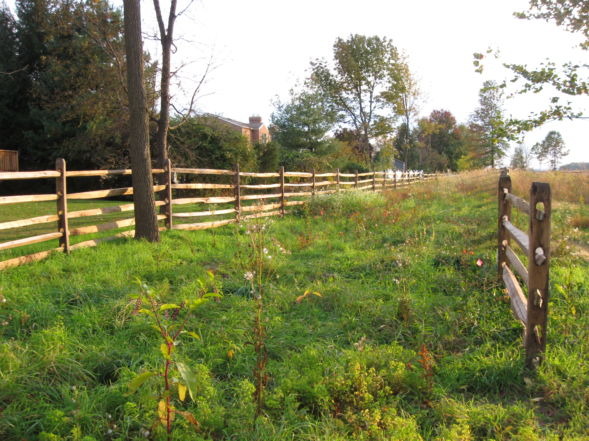
We’re looking back from where we entered the lane. This view was taken facing northeast at approximately 5:30 PM on Tuesday, October 13, 2009.
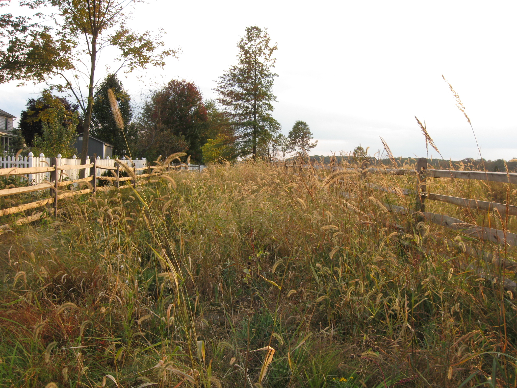
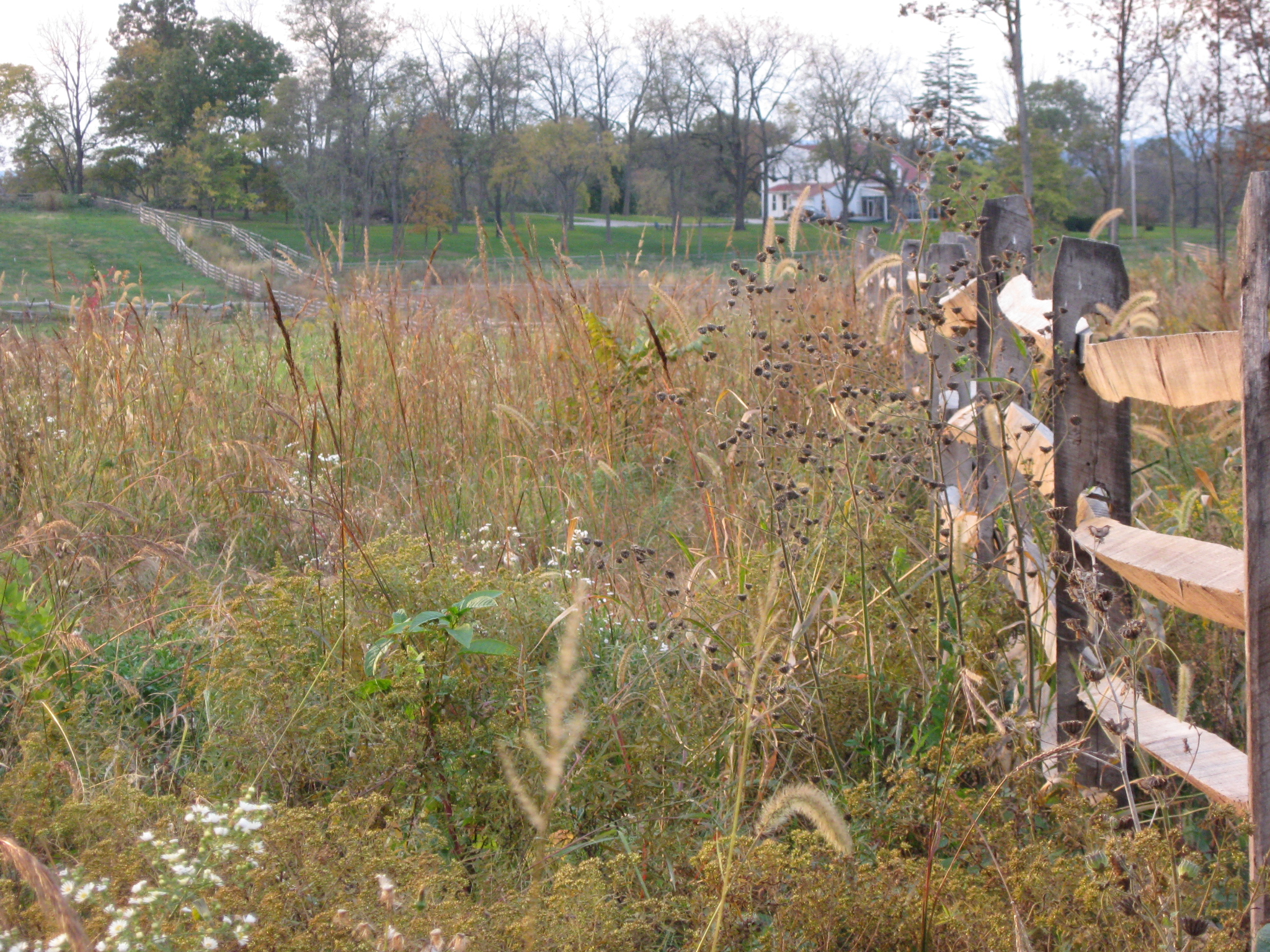
There’s a little bit of daylight ahead. This view was taken facing southwest at approximately 4:15 PM on Tuesday, October 13, 2009.
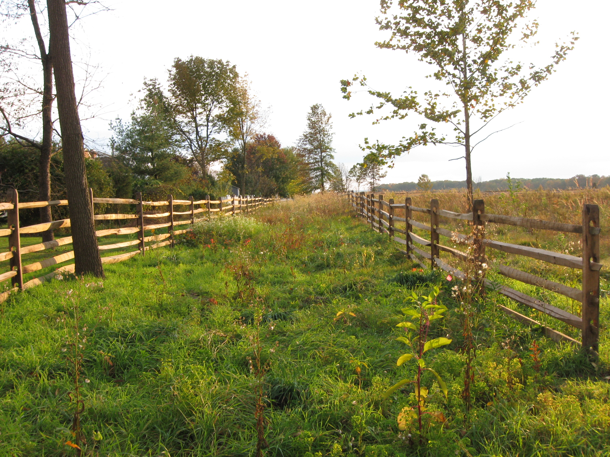
But certainly not behind us. This view was taken facing northeast at approximately 5:30 PM on Tuesday, October 13, 2009.
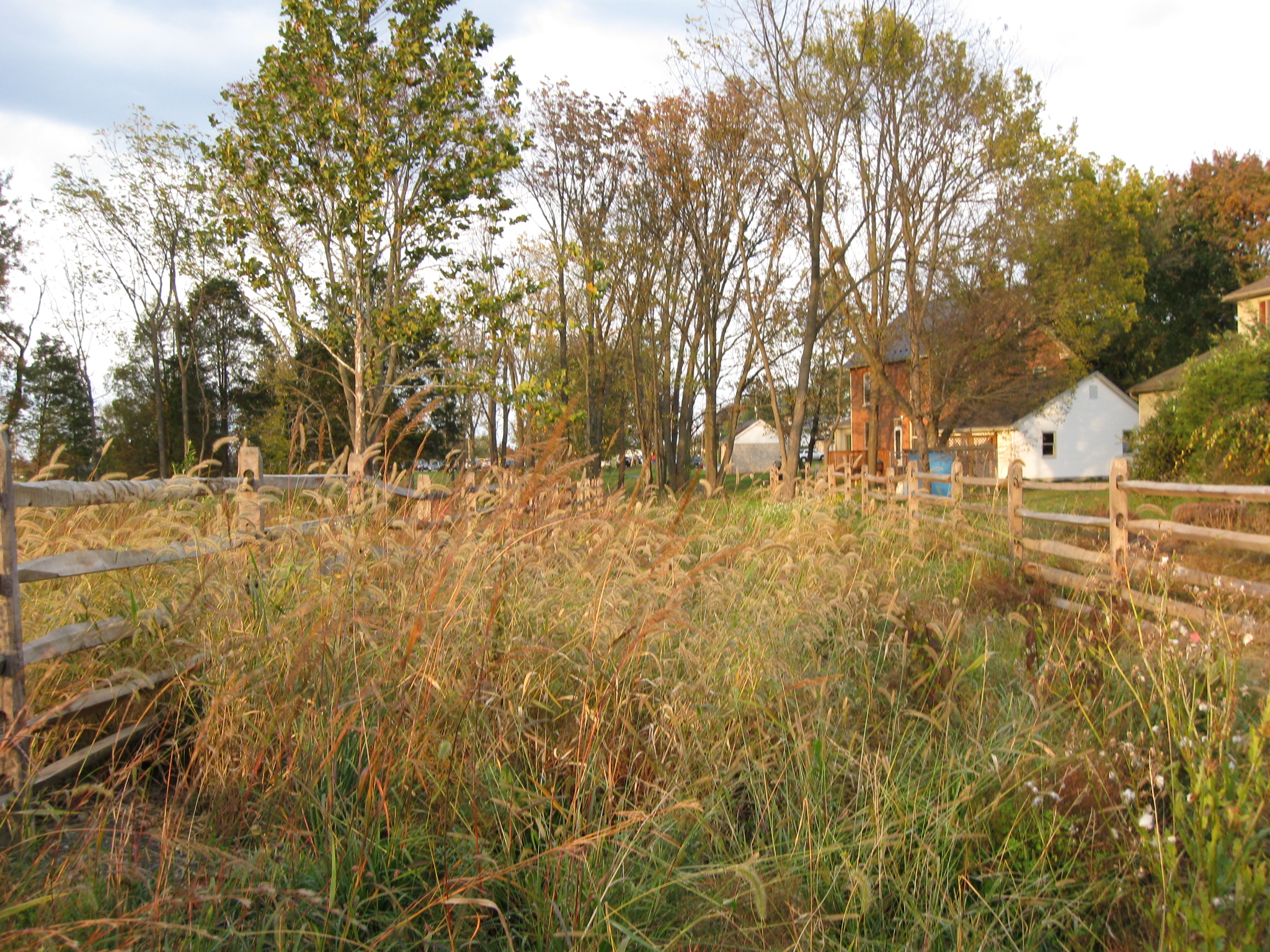
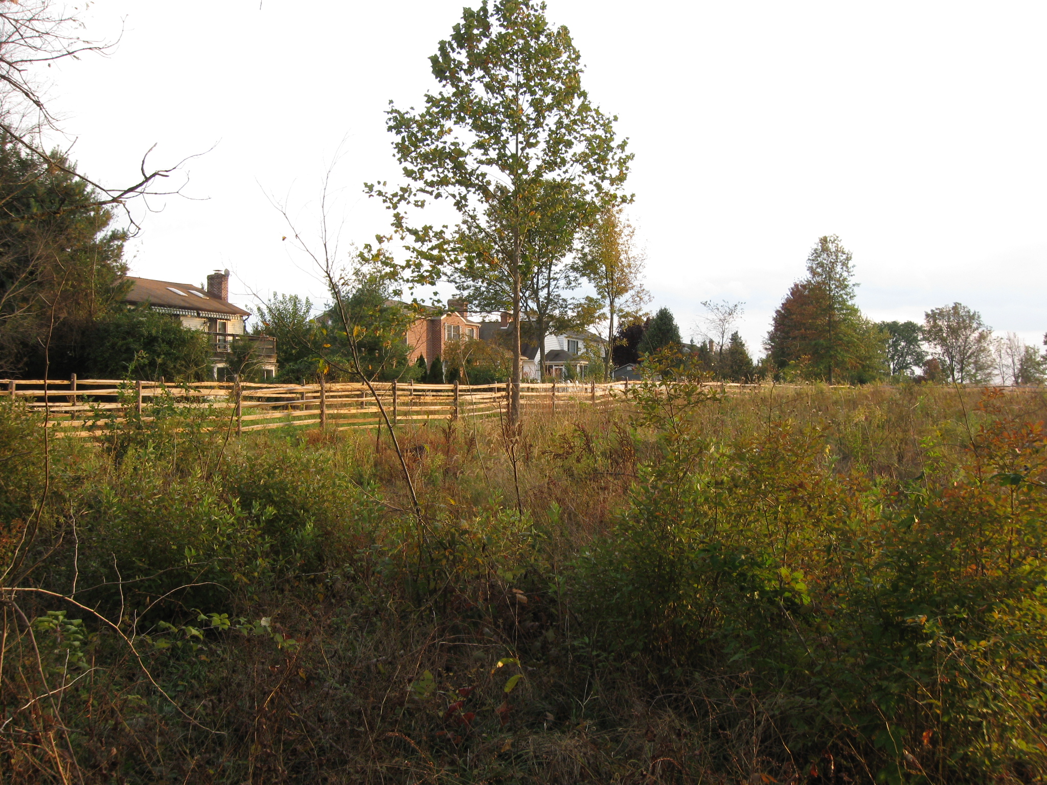
We’re now looking towards Seminary Ridge… This view was taken facing west at approximately 5:30 PM on Tuesday, October 13, 2009.
…along the lane to the McMillan House, the white structure shown in the distance. This view was taken facing west at approximately 5:30 PM on Tuesday, October 13, 2009.
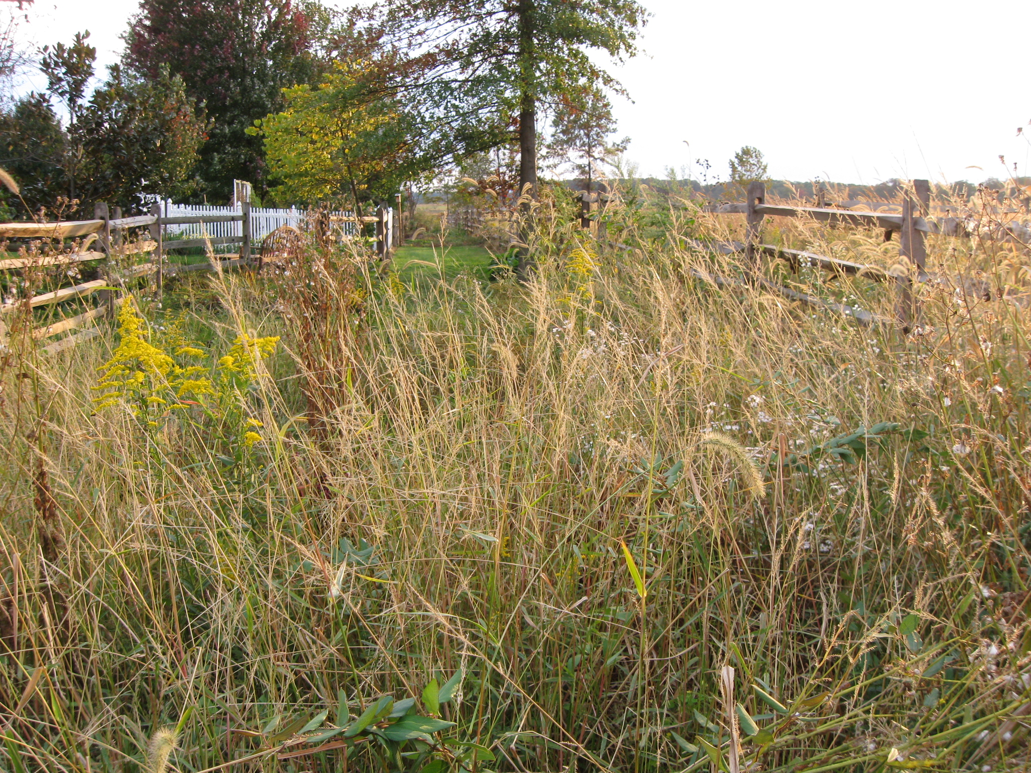
There aren’t any property signs here, so either the owner of the house in this area owns this land, or is so used to mowing it, he/she just continues to. But it gets worse again as we continue towards the Pickett’s Charge fields at the Bliss Farm. This view was taken facing southwest at approximately 5:30 PM on Tuesday, October 13, 2009.
But this little walk was pretty interesting. This view was taken facing northeast at approximately 5:30 PM on Tuesday, October 13, 2009.
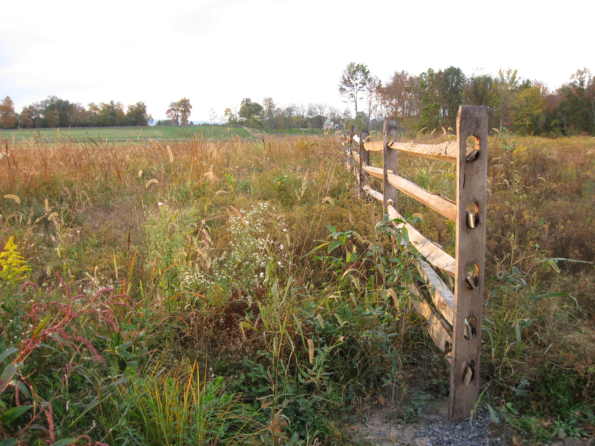
Its too bad this is happening in an area which was a very promising pathway last summer. This view was taken facing southeast at approximately 5:30 PM on Tuesday, October 13, 2009.