


Gettysburg Licensed Battlefield Guide Elwood “Woody” Christ is the author of the book, Over a Wide, Hot,…Crimson Plain: The Struggle for the Bliss Farm at Gettysburg, July 2nd and 3rd, 1863. He is the host for our series on the fighting for the Bliss Farm. Woody is standing south of the Bliss Farm buildings and he is pointing toward the Round Tops. This view was taken facing southeast at approximately 8:45 AM on Saturday, June 13, 2009.
In today’s post he finishes describing the fighting on the second day.
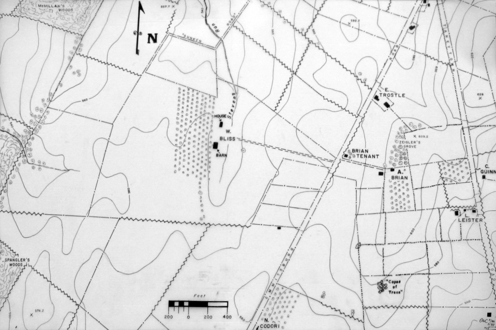
This map was provided to us by Woody Christ for the Bliss Farm posts.
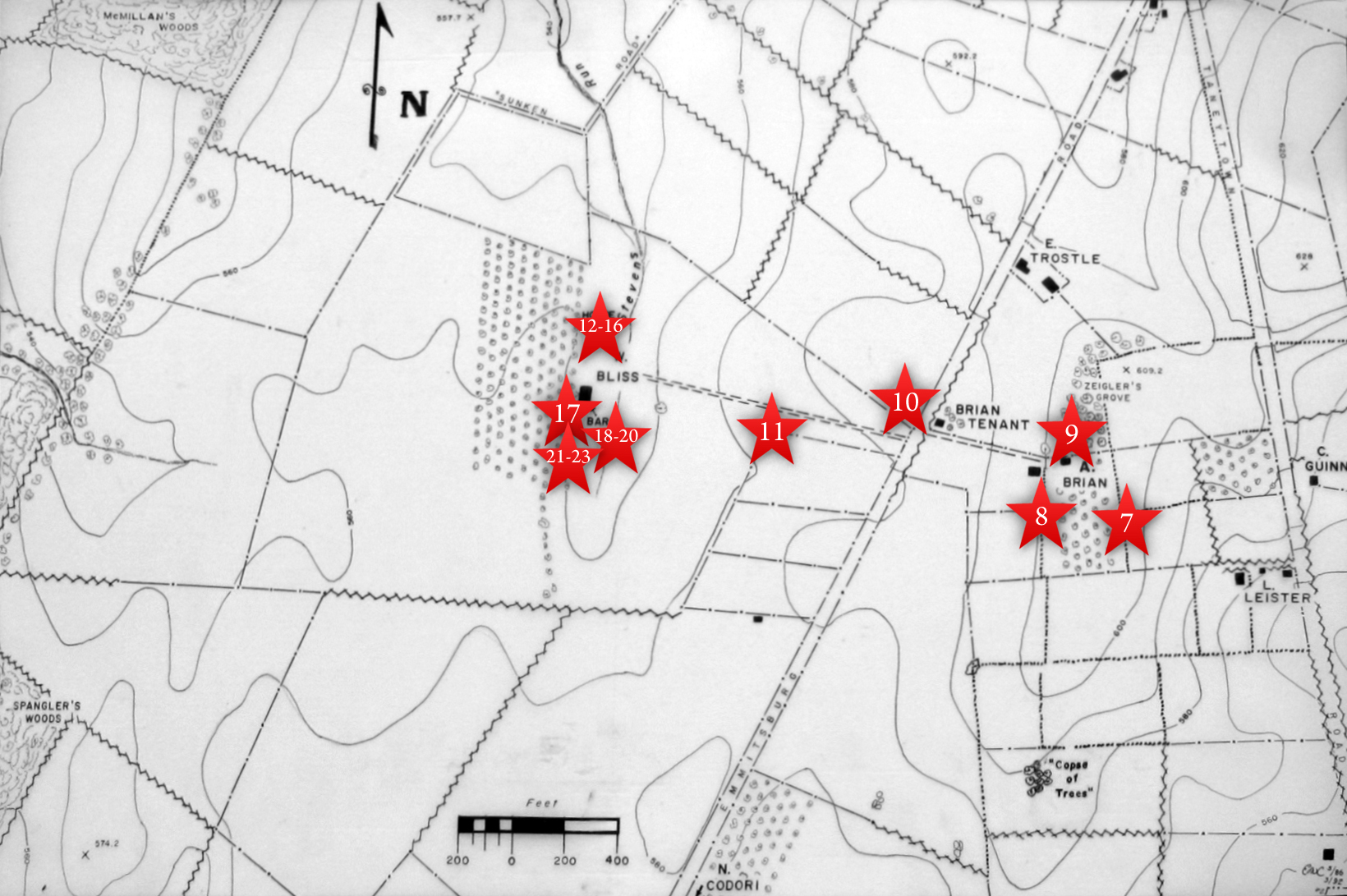
This map shows the location of where our Bliss Farm videos were produced. Videos #1-#6 were shown in our previous Bliss Farm posts. Video #7 was taken at the crest of Cemetery Ridge near the stone wall south of the old Cyclorama building. Video #8 was taken at the monument to the 1st Delaware Infantry Regiment. Video #9 was taken north of the Brian/Brian House. Video #10 was taken along the Emmittsburg Road near the Brian/Bryan farm lane. Video #11 was taken at the fence marking the skirmish line of the 14th Connecticut. Videos #12-#16 were taken at the site of the Bliss House. Video #17 was taken south of the Bliss Barn. Videos #18- #20 were taken southeast of the Bliss Barn. Videos #21- #23 were taken farther south of the Bliss Barn than #17. This map was created facing north at approximately 10:20 AM on Sunday, July 5, 2009.
In Video #21 (Videos #s 1-20 were seen in our previous Bliss Farm posts) Gettysburg Licensed Battlefield Guide Woody Christ describes how Confederates need to drive the Union troops from the Bliss Farm area in order to support their attacks from Seminary Ridge on July 2, 1863. This view was taken facing southeast to west to south to southeast to west at approximately 8:45 AM on Saturday, June 13, 2009.

Licensed Battlefield Guide Woody Christ is standing northwest farther south of the overgrowth at the bank of the Bliss Barn. The light-colored building at the National Guard Armory on Seminary Ridge are in the left background. Colt Park is in the right background. This view was taken facing north at approximately 8:45 AM on Saturday, June 13, 2009.
In Video #22 Licensed Battlefield Guide Woody Christ shows that while the 16th Mississippi is being hit on both flanks, the 12th New Jersey advances on their front. The New Jersey soldiers capture 92 Confederates in the Bliss Barn. This view was taken facing north to northeast to north at approximately 8:45 AM on Saturday, June 13, 2009.
In Video #23 Woody Christ describes how the 12th Mississippi drives the 12th New Jersey out of the Bliss buildings. But the Confederate attacks towards Cemetery Ridge in this area stall mostly because the 8th Ohio was not dislodged from the broad flat knoll. By the end of July 2, 1863, the Confederates are in control of the Bliss Farm and the Bliss Orchards. This view was taken facing northwest to northeast at approximately 8:45 AM on Saturday, June 13, 2009.