Gettysburg Tree Cutting on East Side of Cemetery Ridge Covers a Large Area
August 15, 2008
Battlefield rehabilitation, or tree cutting, along the Taneytown Road is still progressing. This view is from the Taneytown Road near the Michael Frey Farm and Artillery Ridge Campground, looking northwest. The horse trail leading from Artillery Ridge Campground to Cemetery Ridge is on the left. This view was taken from the southeast facing northwest at approximately 7:30 AM on Friday, August 15, 2008.
The tree cutting currently occurring in Gettysburg National Military Park between the Taneytown Road and Cemetery Ridge covers a much larger area than we initially thought. Approximately 500 yards along the road will be cut from the horse trail at the Artillery Ridge Campground north to Pleasanton Avenue at the National Park Service Maintenance Facility. The cutting is also occurring in the approximately 400 yards from the Taneytown Road west to Cemetery Ridge. So over 40 acres of trees are being removed. The National Park Service is cutting the trees because opening up the view in this area will expose the east side of Cemetery Ridge closer to to the way it looked in 1863. However, this could be another controversial location to cut trees. See our previous post of the work here on August 9, 2008 and July 18, 2008.
Here is this same area looking north towards the area of the Gettysburg National Military Park Maintenance Facility (not yet seen, but give them a couple of weeks). This view was taken from the south facing north at approximately 7:30 AM on Friday, August 15, 2008.
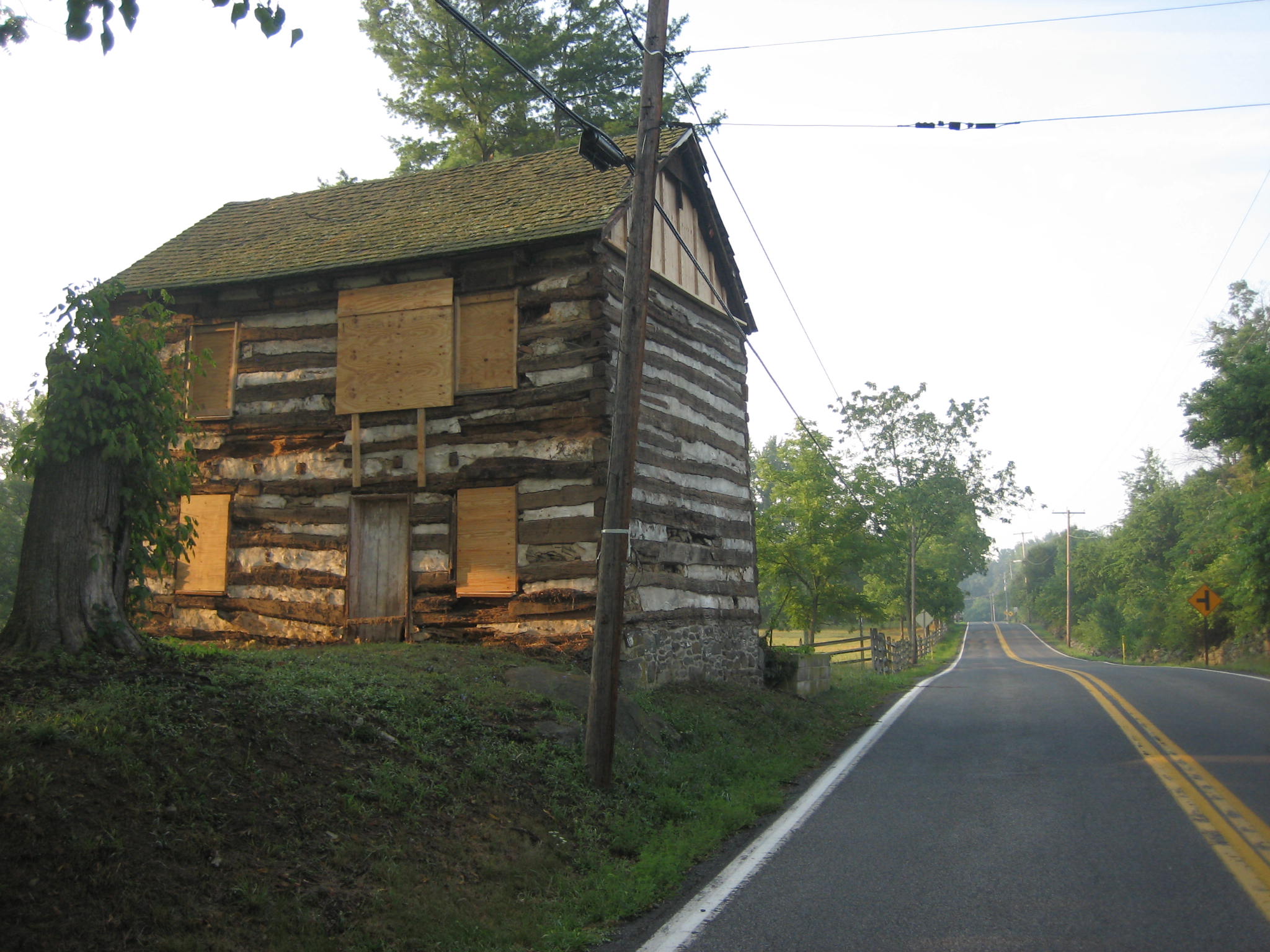
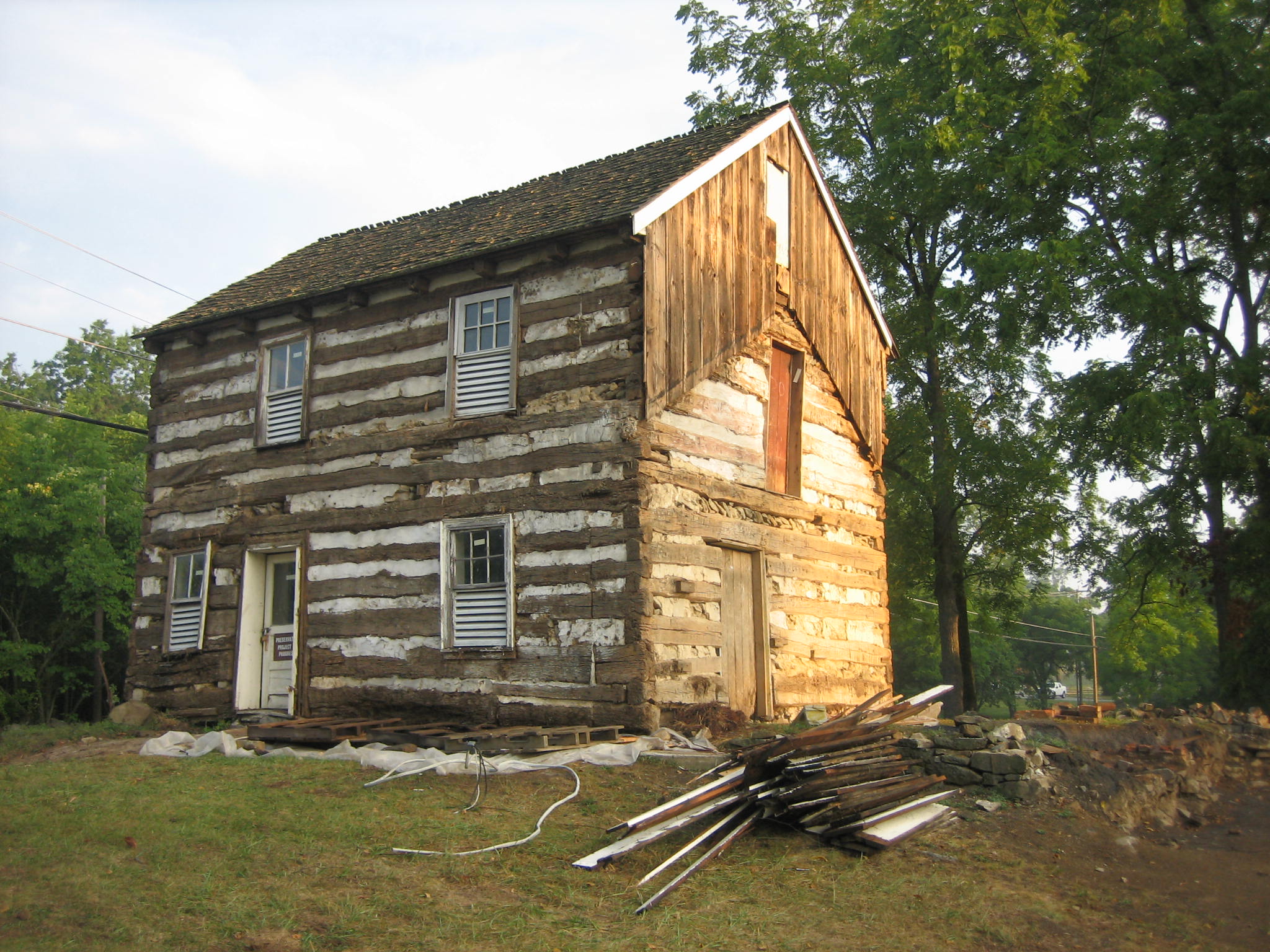
By the way, all of the board and batten siding has now been removed from the William Patterson House. See our post on its renovation on August 11, 2008. This view was taken from the north facing south at approximately 7:30 AM on Friday, August 15, 2008.
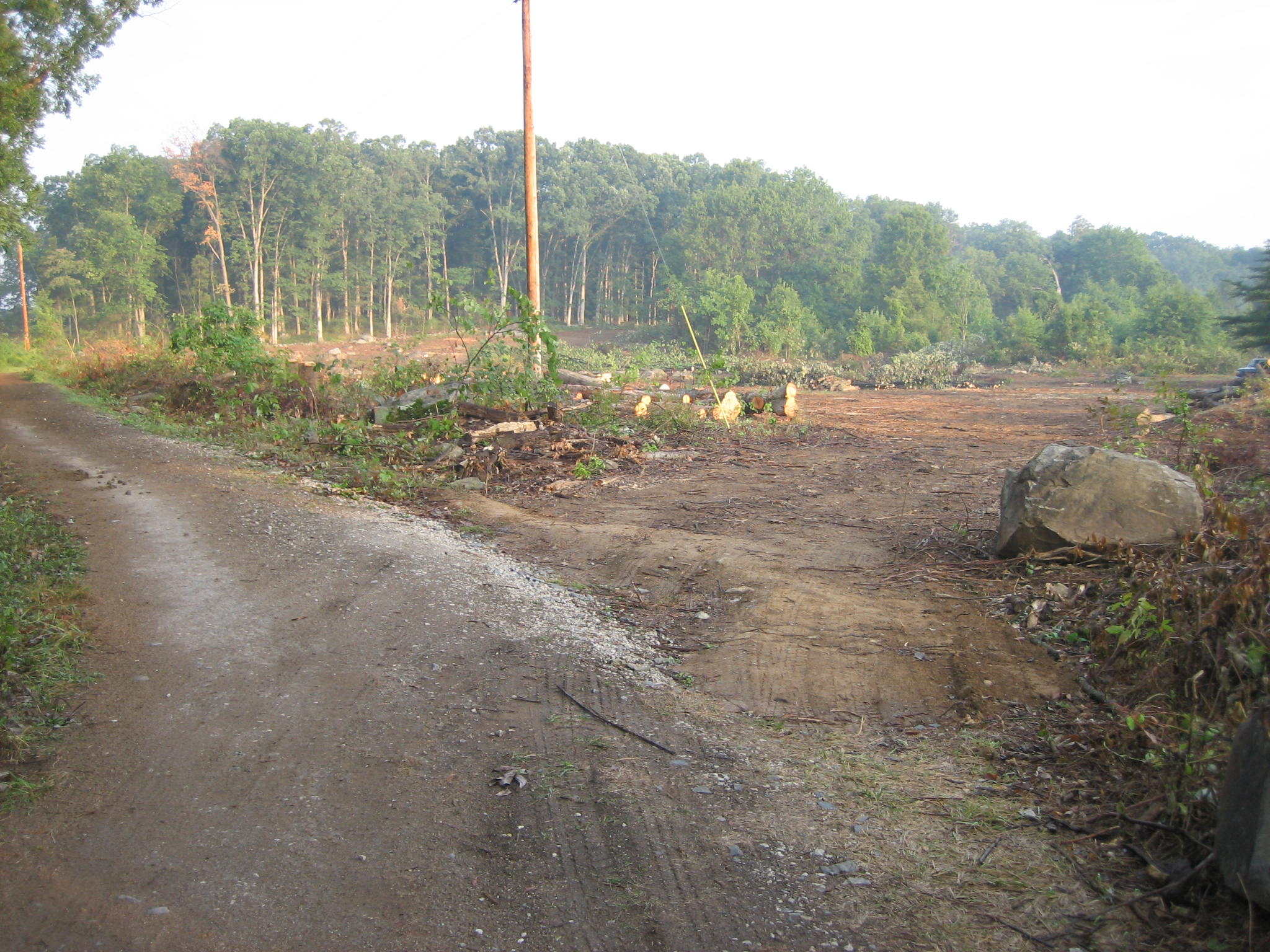
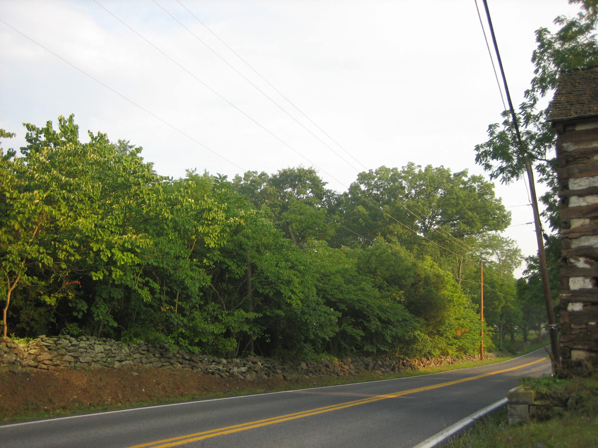
All the trees on the right (west) side of the Taneytown Road in this view are to be removed. If you “click” on this photo to make it larger, you can barely see the yellow horse crossing sign 50 yards to the north of the horse trail at Artillery Ridge Campground. This view was taken from the northeast facing southwest at approximately 7:30 AM on Friday, August 15, 2008.
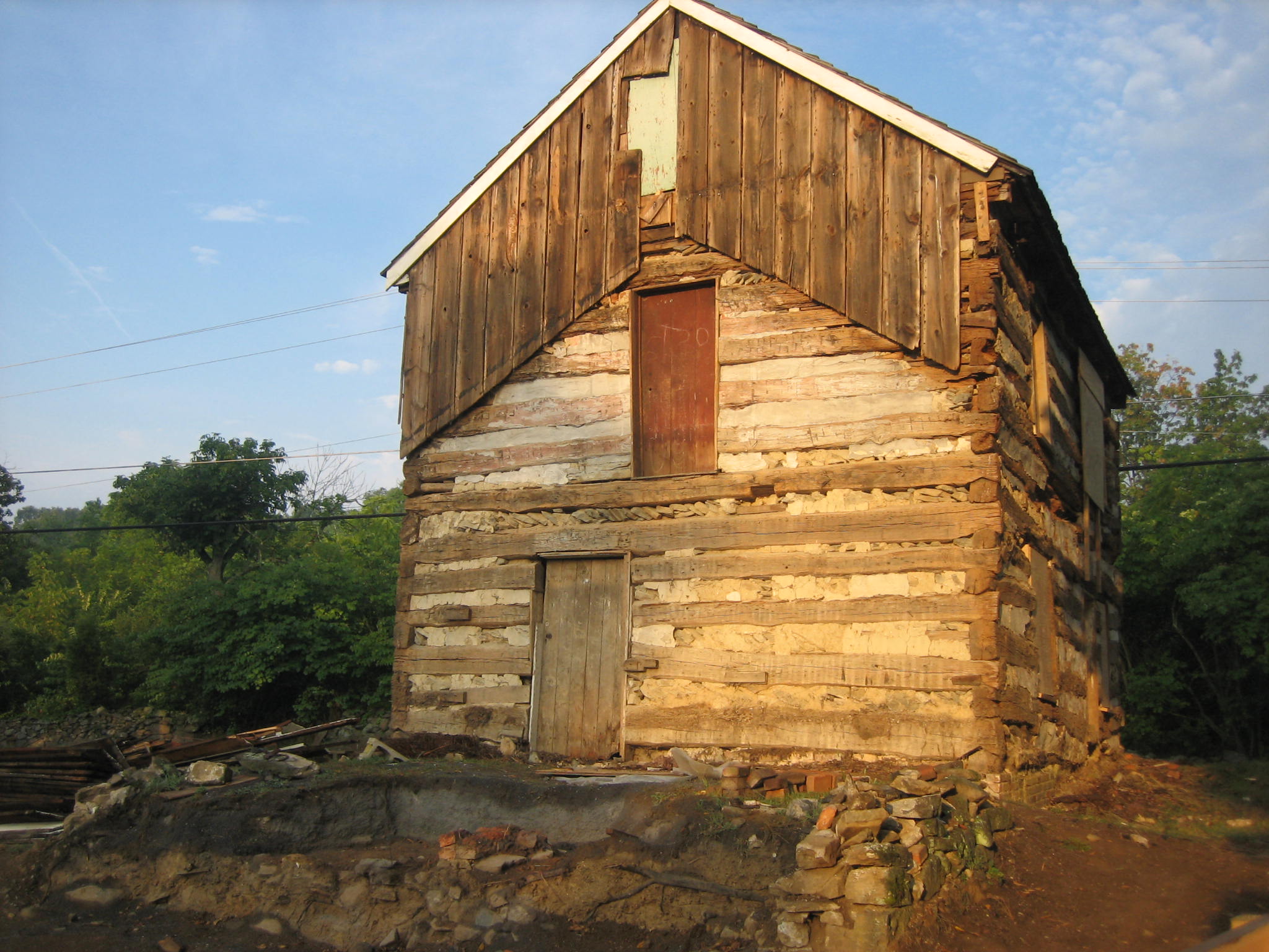
Here is the east side of the William Patterson House. The logs on the first floor around the house are to be removed because of damage from beetles, termites, and water. The logs have been on the first floor since 1796. The second floor was probably put on in 1820. This view was taken from the east facing west at approximately 7:30 AM on Friday, August 15, 2008.
The south and east sides of the house. The siding is on the ground to the front right. Most of this siding was put on the house circa 1980. The original siding we mentioned in our last post has probably been put safely away until the logs are replaced. This view was taken from the southeast facing northwest at approximately 7:30 AM on Friday, August 15, 2008.
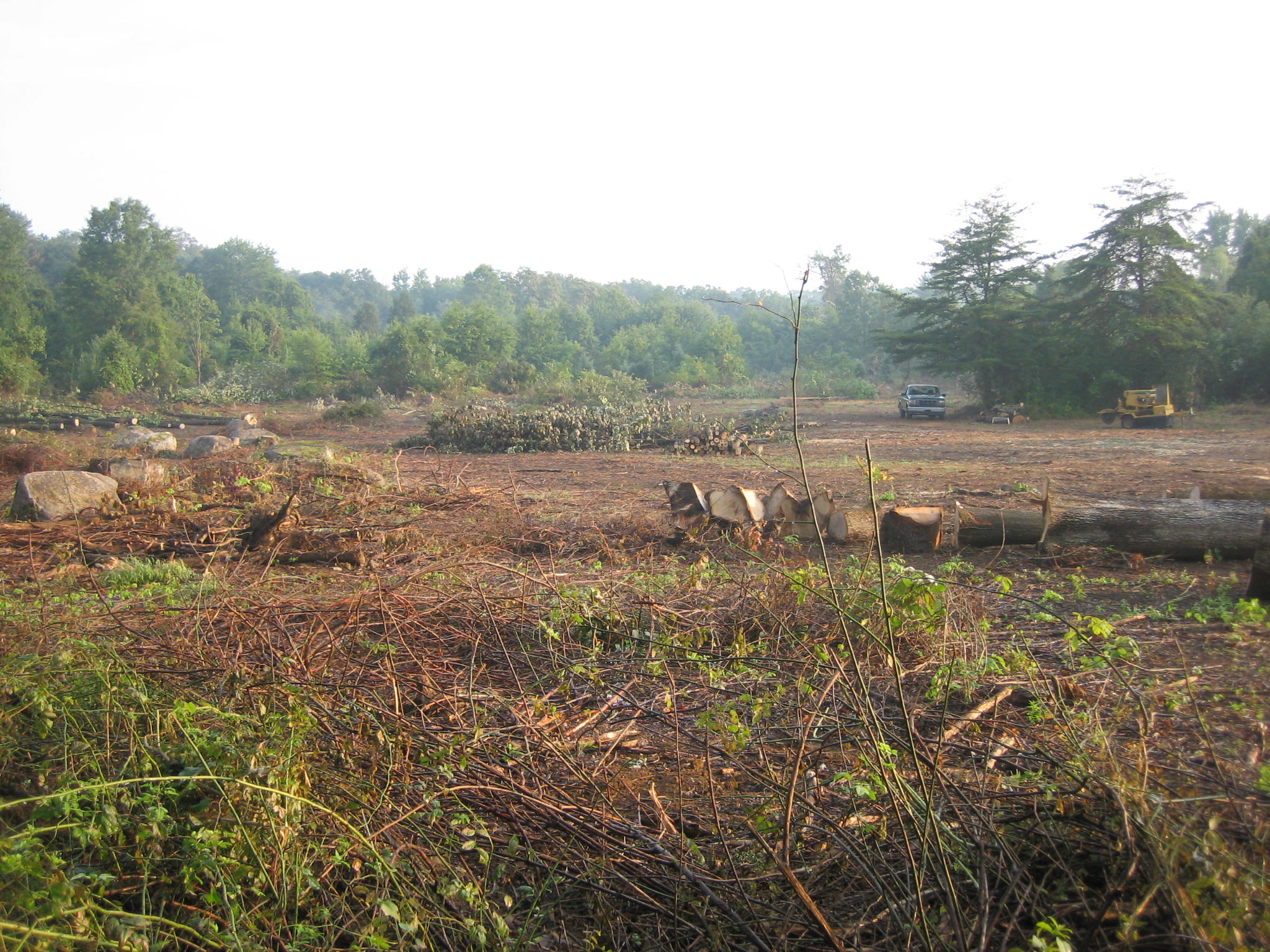
All the trees on the left (west) side of the Taneytown Road are to be removed. We have shown a little of the south side of the William Patterson House as we look back 150 yards to the Park Service Maintenance Area. It is located where the trees begin to “thin out” in the distance. This view was taken from the southeast facing northwest at approximately 7:30 AM on Friday, August 15, 2008.
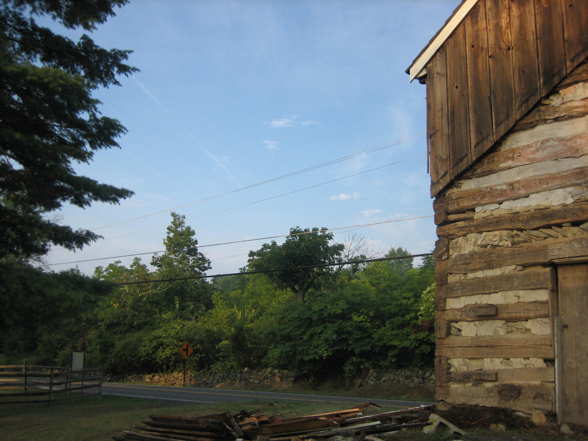
To give some perspective we have shown a little of the east side of the William Patterson House looking across the road to where the Patterson Barn was located. National Park Service personnel believe they have located the foundation of the barn. Yes, the trees you see across the road will be removed. This view was taken from the northeast facing southwest at approximately 7:30 AM on Friday, August 15, 2008.
So we are back at the horse trail, and we wanted to show that all the trees on the other (west) side of the Taneytown Road are to be cut down. This view was taken from the southeast facing northwest at approximately 7:30 AM on Friday, August 15, 2008.
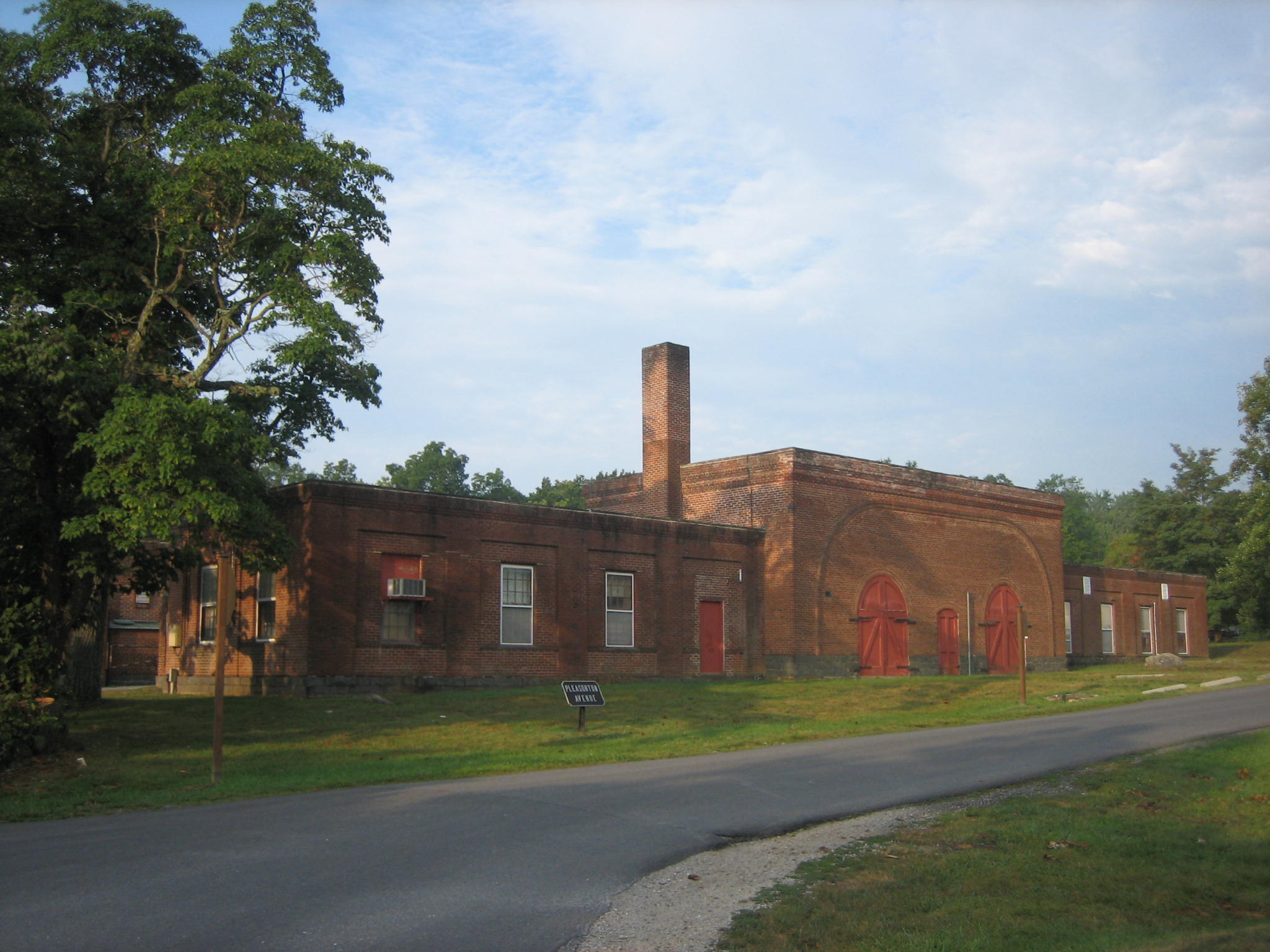
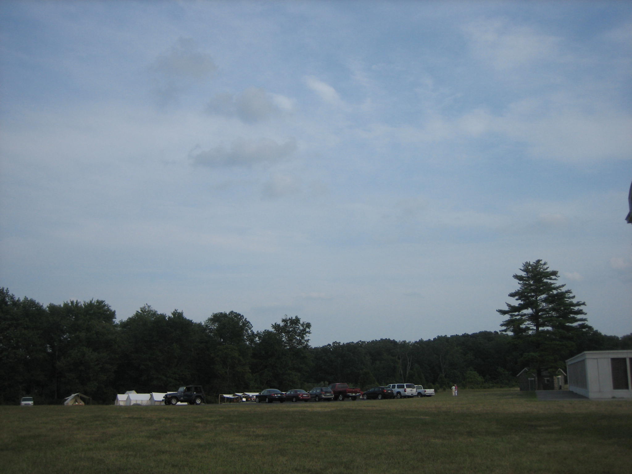
The tree cutting is to continue north to Pleasanton Avenue which runs parallel to the Gettysburg National Military Park Maintenance Facility, shown here at the southwest corner of Pleasanton Avenue and the Taneytown Road. One of the many intersting points to think about with the tree cutting is that when all the trees are removed, this huge facility will be exposed, and of course it wasn’t here at the time of the battle. So the National Park Service is thinking of putting a fence around the building to hide it. Yes, they’re going to cut down the trees that surround it on three sides and currently hide it, to build a fence to hide it because they cut down the trees. This view was taken from the northeast facing southwest at approximately 7:30 AM on Friday, August 15, 2008.
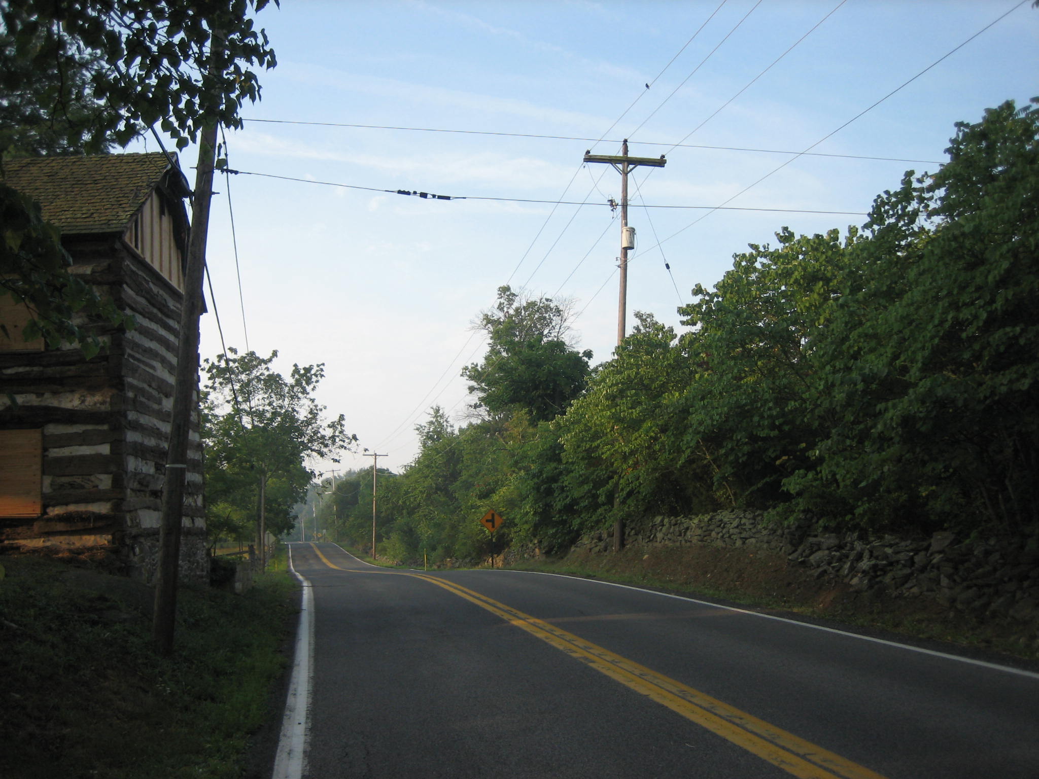
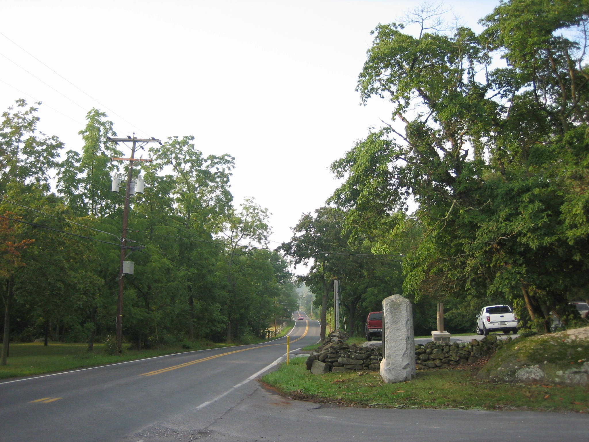
Looking down the Taneytown Road at its intersection with Pleasanton Avenue. The maintenance facility is on the right. The trees on the right (west) side of the road will be cut to the William Patterson House. The William Patterson House is just to the left of the red car in the distance that is approaching the photographer. This view was taken from the north facing south at approximately 7:30 AM on Friday, August 15, 2008.
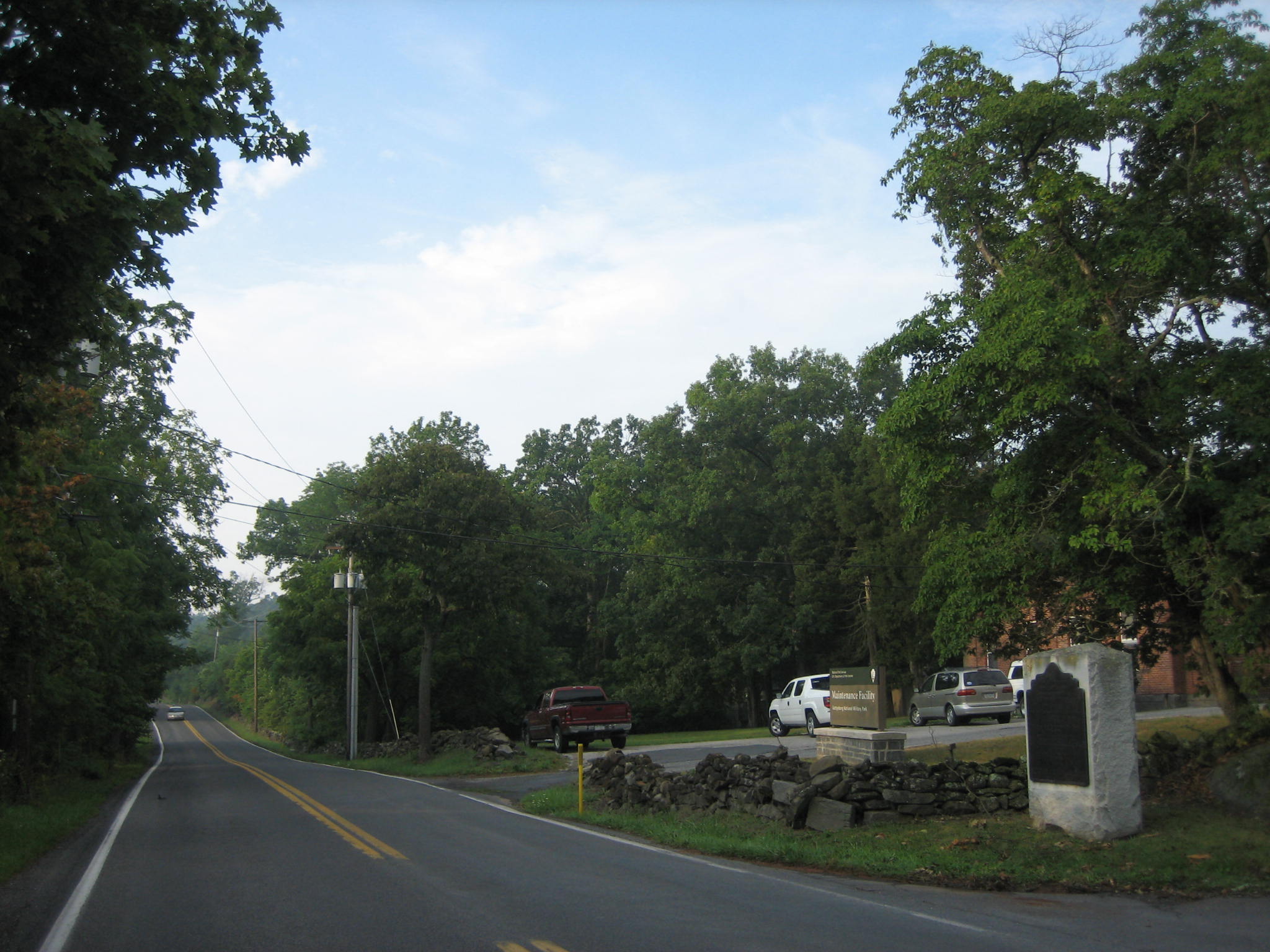
Again, the trees on the west side of the road will be removed and expose the maintenance facility. This view was taken from the northeast facing southwest at approximately 7:30 AM on Friday, August 15, 2008.
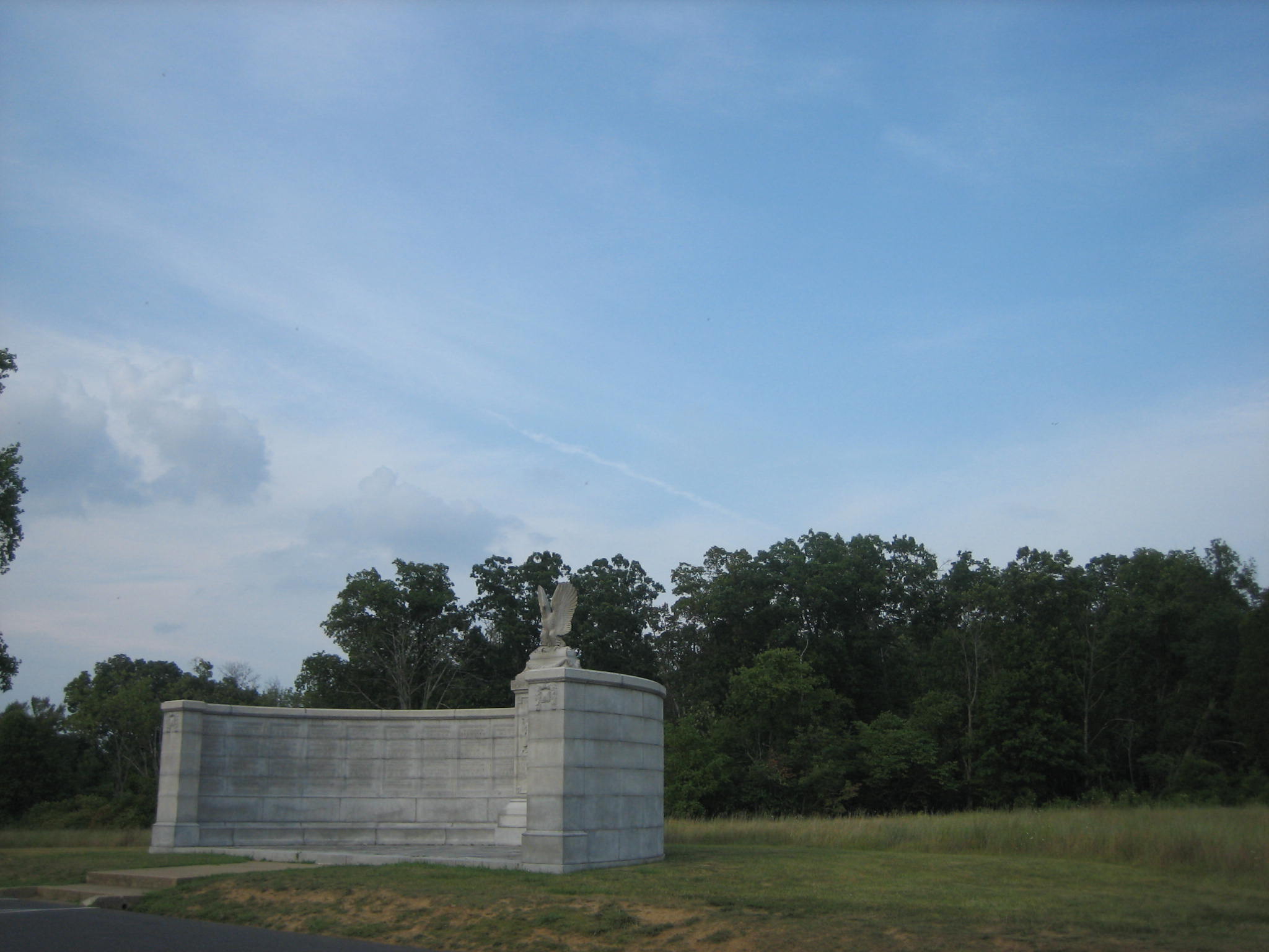
Let’s look at this area from a different angle. Here’s where the horse trail meets Sedwick Avenue and Hancock Avenue on Cemetery Ridge. All the trees that you see will be removed. This view was taken from the southwest facing northeast at approximately 5:30 PM on Friday, August 15, 2008.
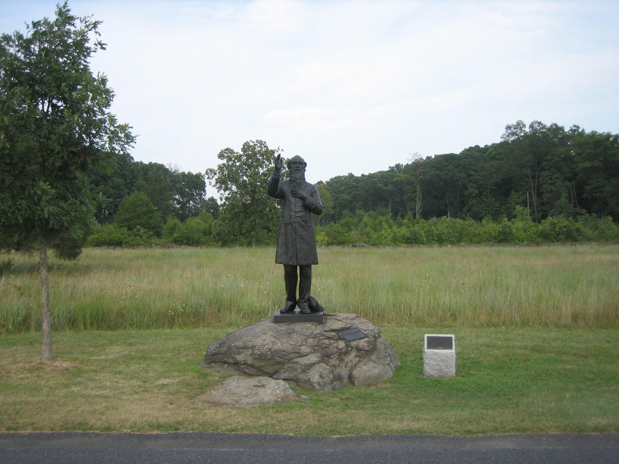
The trees behind (east of) Father Corby are starting to come down. Your editor of the Gettysburg Daily is a Licensed Battlefield Guide, and is all for the tree removal because it greatly helps us understand why important events happened the way they did on the battlefield. This view was taken from the west facing east at approximately 5:30 PM on Friday, August 15, 2008.
But how does cutting down all the trees in this area help us understand the the most important events of the battle? The trees behind the New York Auxiliary Monument are coming down. This view was taken from the southwest facing northeast at approximately 5:30 PM on Friday, August 15, 2008.
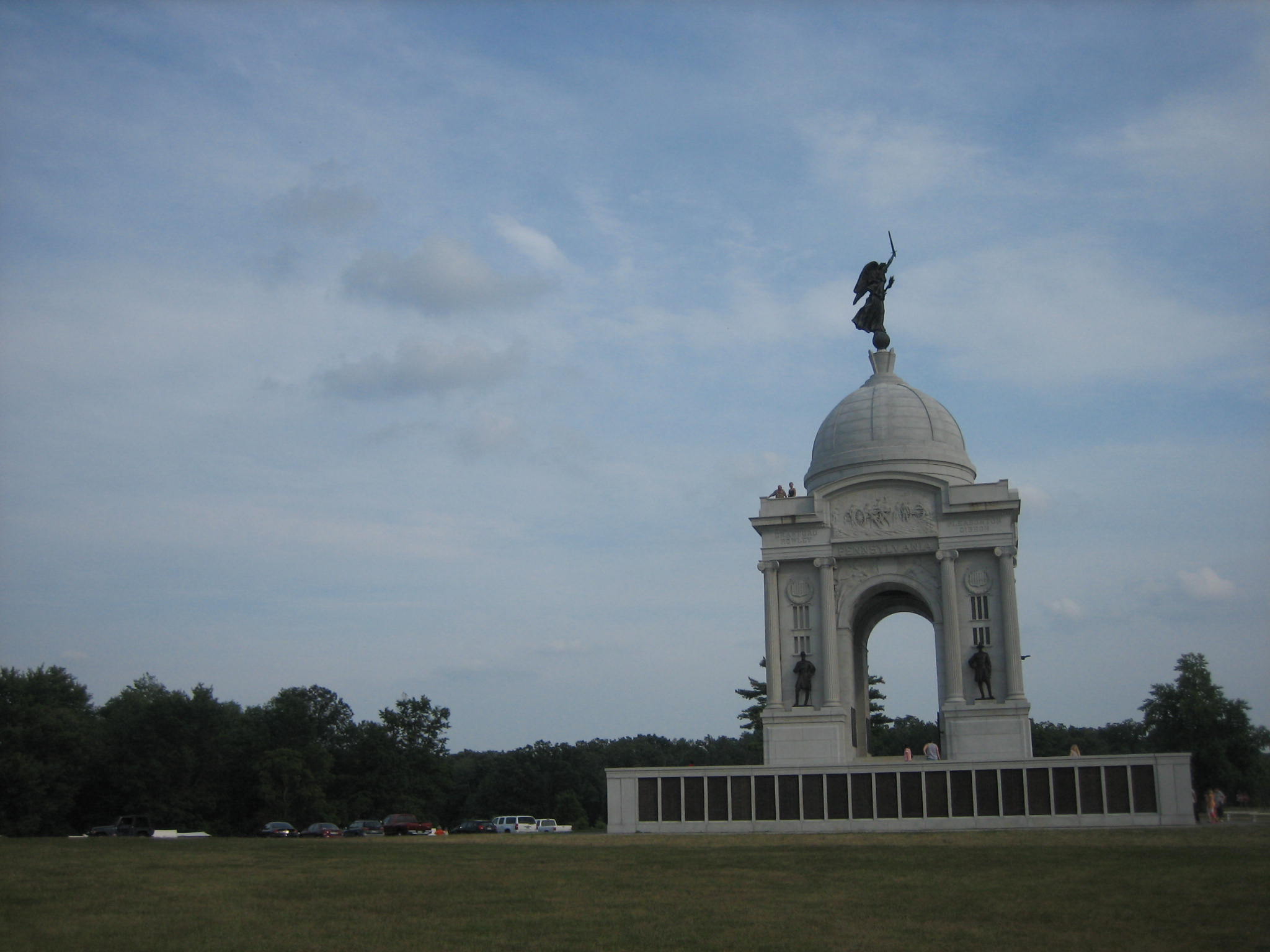
The trees behind the Pennsylvania Monument are coming down. We like seeing the way that Lockwood’s Brigade approached Cemetery Ridge from Culp’s Hill. We understand that when William Tipton took his pictures for the Cyclorama this area was cleared so that one could see the William Patterson House from the High Water Mark Area. This view was taken from the northwest facing southeast at approximately 5:30 PM on Friday, August 15, 2008.
We left a little of the Pennsylvania Monument on the right side so one could get an idea of where these trees are that will be removed. Is this really the most important part of the battlefield that needs tree removal? Culp’s Hill, the area between the Baltimore Pike and Spanglers’ Spring, and Powers’ Hill still need a lot of work. The Park Service decided emphatically that the most important piece of high ground at Gettysburg, Cemetery Hill, will not have its trees cut down. Cemetery Hill was a largely open area at the time of the battle, which made it a great artillery platform. But we can’t see that because of the Park Service decision to leave the trees as ornamentation for the National Cemetery. Someone please help us understand. We want to support this in the same way we’ve strongly supported other cutting/removal/rehabilitation. This view was taken from the northwest facing southeast at approximately 5:30 PM on Friday, August 15, 2008.