Gettysburg Daily

Licensed Battlefield Guide John Archer: East Cemetery Hill Part 7 (Battle Walk)

A cow of debatable aggressiveness paid a visit to Licensed Battlefield Guide John Archer’s East Cemetery Hill Battle Walk on the Culp Farm. This view was taken facing at approximately 2:15 PM on Sunday, April 15, 2012.

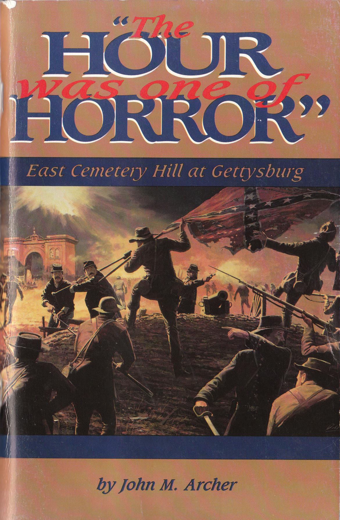
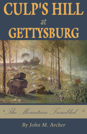
Though Yankee born and bred, Gettysburg Licensed Battlefield Guide John Archer dates his interest in the Civil War from his childhood discovery of Confederate ancestors on his family tree. John rediscovered to his Civil War roots, and moved lock, stock, and barrel to Gettysburg in 1995. His interpretive tours have been featured in PCN TV’s Gettysburg Battlewalks Series. His written work includes two histories of the battle, East Cemetery Hill at Gettysburg and Culp’s Hill at Gettysburg, 
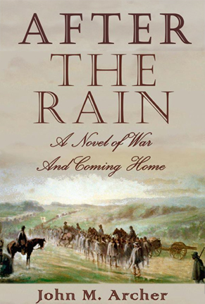
as well as articles in “Blue and Gray,” “Gettysburg Magazine,” and other periodicals. His first work of historical fiction, After the Rain: A Novel of War and Coming Home, was released in 2011, and is a finalist to receive the Langum Prize in American Historical Fiction.

In today’s East Cemetery Hill post, Gettysburg Licensed Battlefield Guide John Archer continues his East Cemetery Hill battle-walk, delivered on Sunday, April 15. After the videos, we have included a selection of the images used in the tour. To see previous images and entries in the East Cemetery Hill series by John Archer, click here.

The first part of this battle-walk can be accessed by clicking here.

In our third video, LBG John Archer stops near the location of Winebrenner’s Run and discusses changes to the landscape in this area.

In our fourth video, LBG John Archer takes us to the Culp Farm and closer to East Cemetery Hill.

A 1997 view of Winebrenner’s Run with the Gettysburg Area Middle School in the background. More information about John Winebrenner can be found here.This view is courtesy of John Archer.
John Archer’s Map of Early’s Advance at approximately 7:30 PM on July 2, 1863. This view was taken facing north and is courtesy of John Archer.
John Archer’s Map of the area between Ewell’s Overlook near High Street and East Cemetery Hill. This view was taken facing south and is courtesy of John Archer.

This photograph is courtesy of John Archer.

This photograph is courtesy of John Archer and was taken circa 1888.

This aerial view is courtesy of John Archer and was taken circa the 1940s.

To see other posts by Gettysburg Licensed Battlefield Guides, click here.