

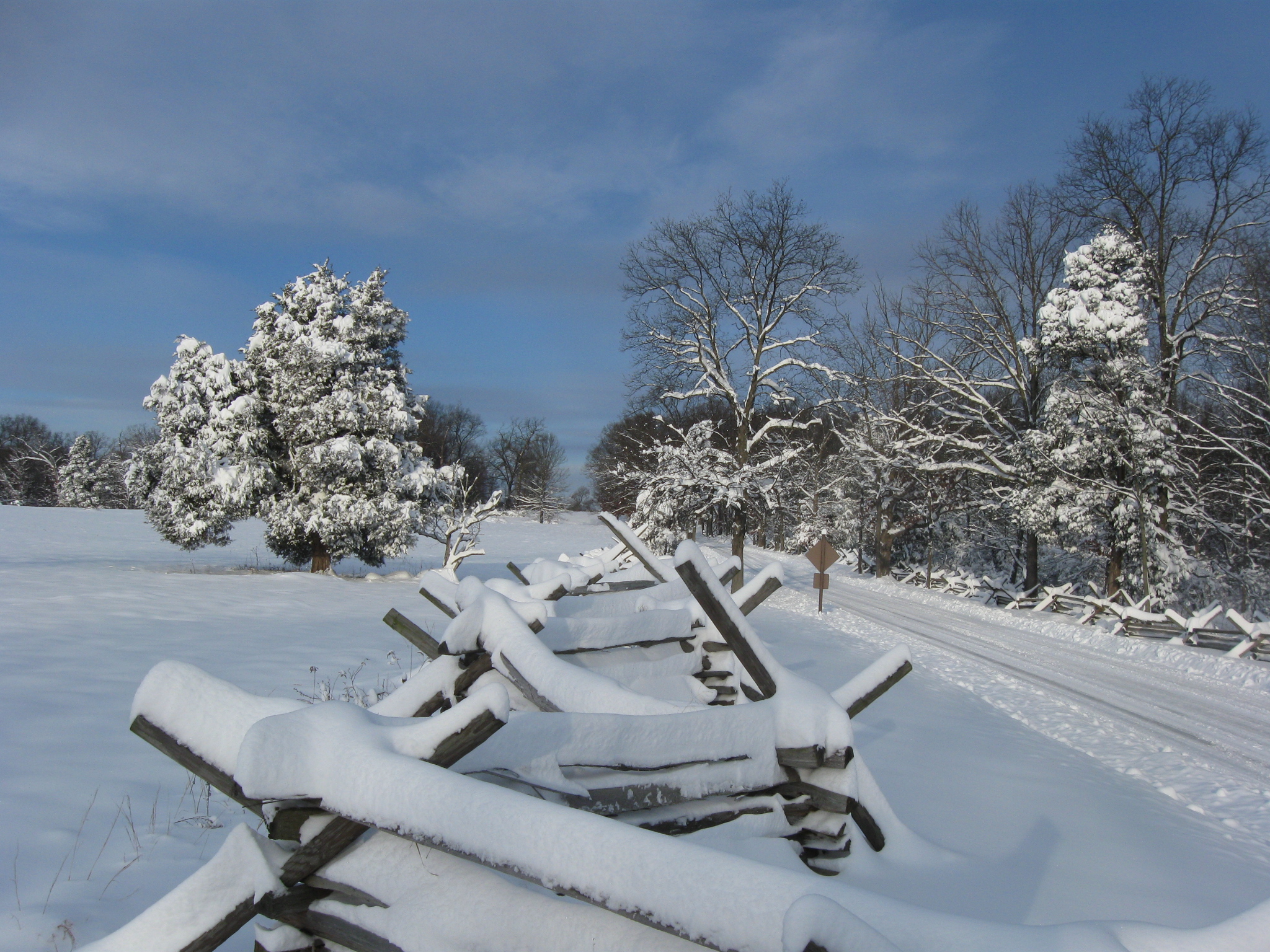
Many of the photographs we will show you today concentrate on the “worm” fence that borders the north side of the Wheatfield. The Wheatfield is on the right. The Wheatfield Road is visible on the left. Little Round Top is in the background. This view was taken facing southeast at approximately 8:45 AM on Sunday, December 20, 2009.
We continue our presentation of photographs taken during and after the December “blizzard” which officially brought 16 inches of snow to the Gettysburg area on Saturday, December 19, 2009. Today we show our walk along the Wheatfield Road by Rose’s Wheatfield.
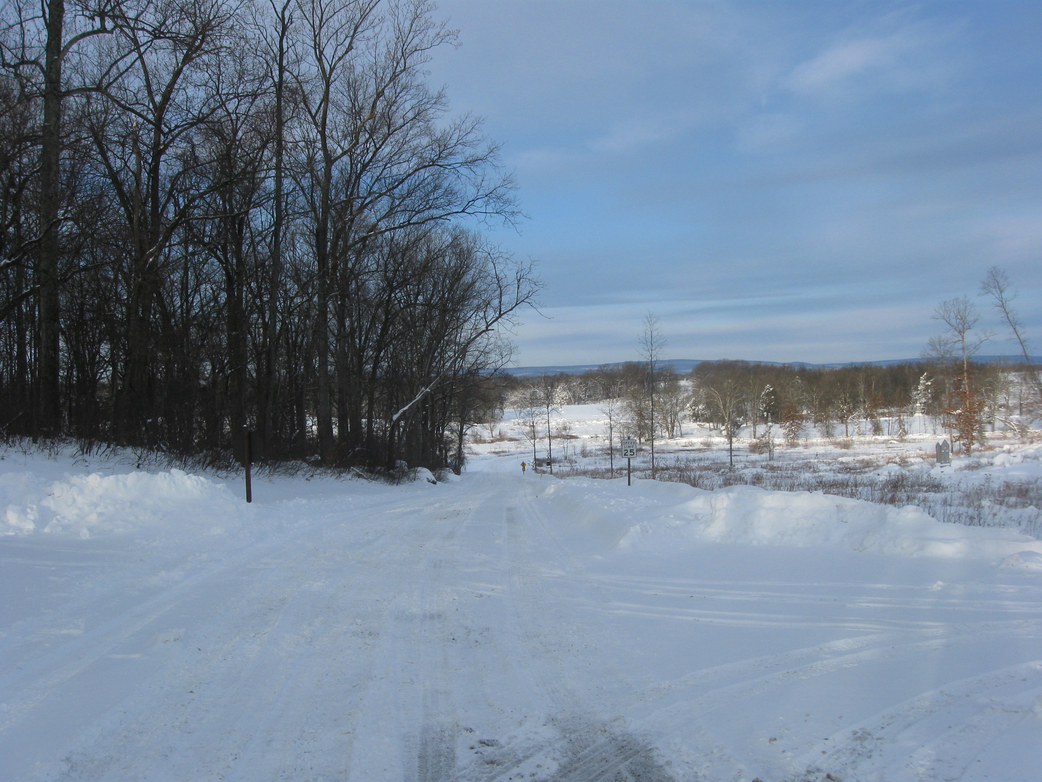
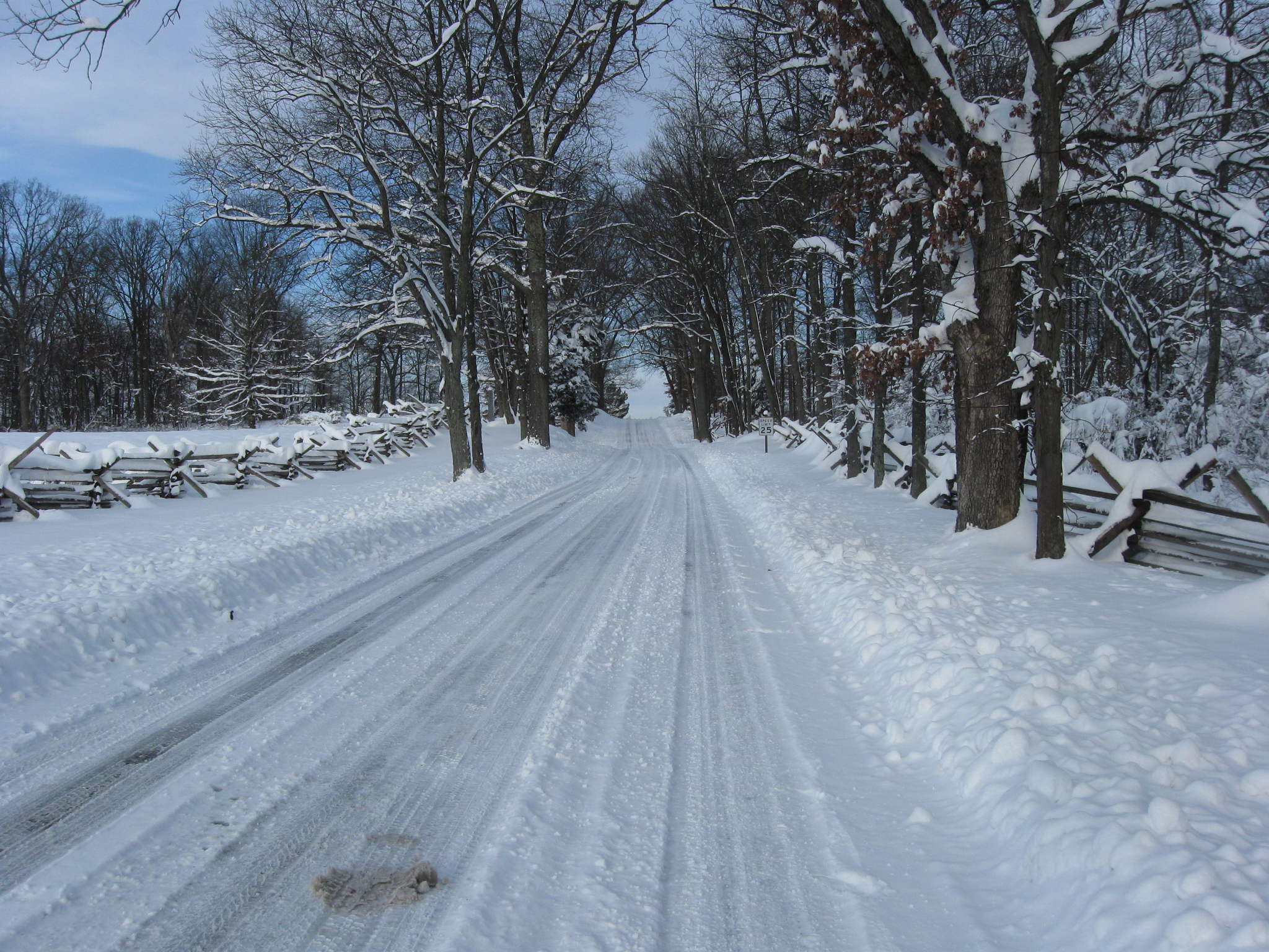
We’ll begin by leaving the north slope of Little Round Top, and driving a little down the Wheatfield Road towards the Wheatfield. This view was taken facing northwest at approximately 8:45 AM on Sunday, December 20, 2009.
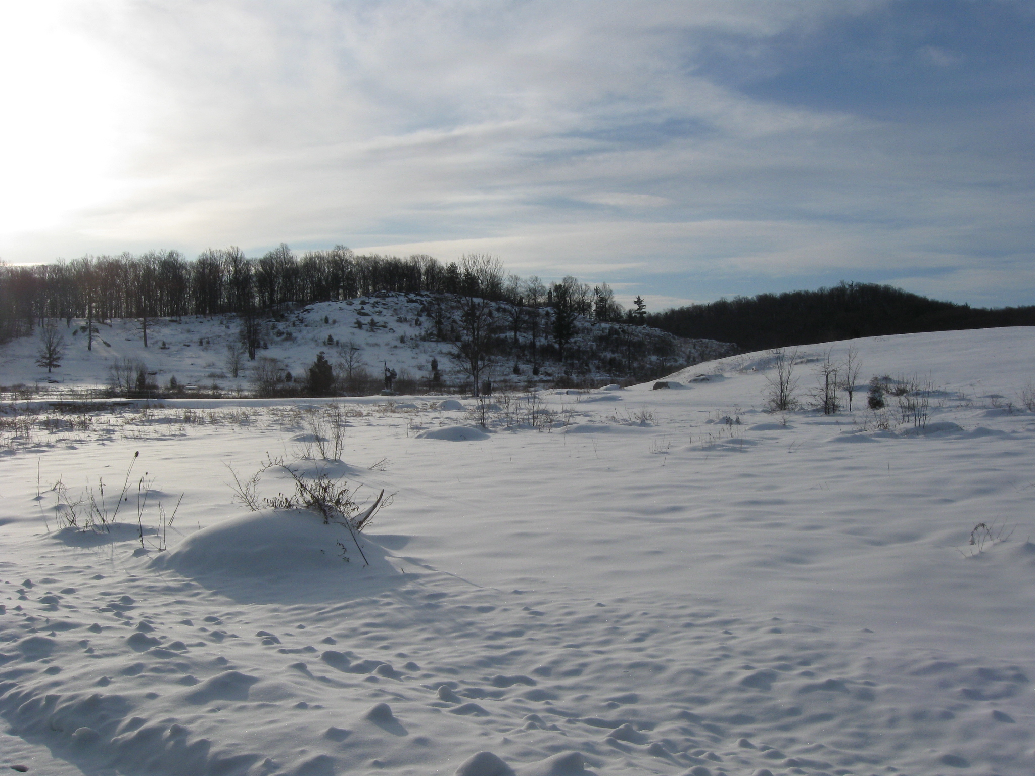
As we reached Plum Run Valley/Valley of Death, we turned back to look at mostly snow covered Little Round Top on the left and mostly tree covered Big Round Top on the right. This view was taken facing southeast at approximately 8:45 AM on Sunday, December 20, 2009.

Now we’ve reached the worm fence/saw buck fence/split rail fence bordering the south side of the Wheatfield Road. This view was taken facing southeast at approximately 8:45 AM on Sunday, December 20, 2009.

We are turning towards the Wheatfield. The large monument on the right is to the 11th Pennsylvania Reserves/40th Pennsylvania Infantry. The smaller monument in the left background is to the 1st Pennsylvania Reserves/30th Pennsylvania Infantry Regiment. Company K of the 30th Pennsylvania was recruited in Gettysburg. This view was taken facing west at approximately at approximately 8:45 AM on Sunday, December 20, 2008.
The 40th Pennsylvania Monument on the left, and the 30th Pennsylvania Monument in the center background are located on the east side of the closed Ayres Avenue. This view was taken facing southwest at approximately 8:45 AM on Sunday, December 20, 2009.
Stepping through the gate, here’s the Wheatfield. The trees belonging to Rose’s Woods are in the left background. The trees belong to the Stony Hill/Loop area are in the right background. This view was taken facing west at approximately 8:45 AM on Sunday, December 20, 2009.

The Wheatfield Road looking in the direction of the Emmitsburg Road (not visible). The trees of the Stony Hill are in the left background. This view was taken facing northwest at approximately 8:45 AM on Sunday, December 20, 2009.
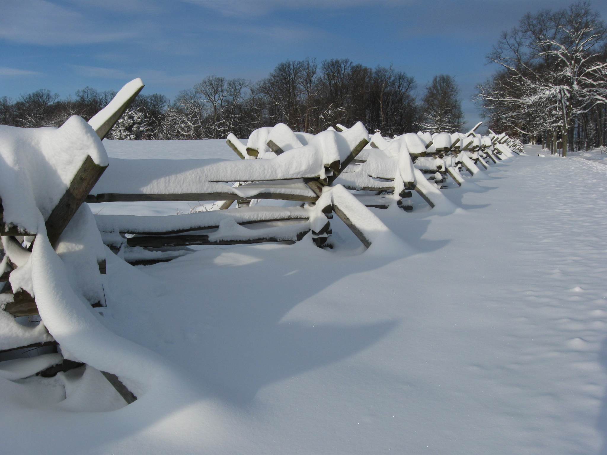
The top of the worm fence. The Wheatfield Road is on the right. This view was taken facing northwest at approximately 8:45 AM on Sunday, December 20, 2009.

OK, we’ll get back on the road and keep walking. This view was taken facing northwest at approximately 8:45 AM on Sunday, December 20, 2009.

Prominent monuments in the Wheatfield include the tall 1885 monument to the 27th Connecticut Infantry Regiment. On the left is the monument to the 81st Pennsylvania. On the right is the monument to the 61stNew York. See our post of Colonel Edward Cross’ Brigade in the Wheatfield with Licensed Battlefield Guide Rich Bellamy on January 5, 2009. This view was taken facing southwest at approximately 8:45 AM on Sunday, December 20, 2009.

The woods of the Stony Hill are in the background. This view was taken facing west at approximately 8:45 AM on Sunday, December 20, 2009.
Another shot of the Wheatfield fence before we reached the… This view was taken facing west at approximately 8:45 AM on Sunday, December 20, 2009.
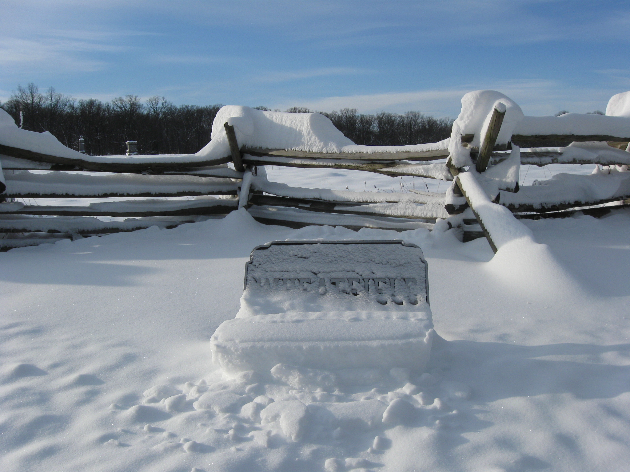
…Wheatfield sign. This view was taken facing southwest at approximately 8:45 AM on Sunday, December 20, 2009.

Notice how the snow covering the sign fell off, leaving an imprint of the words in the snow. Anyway, we thought it was interesting. This view was taken facing southwest at approximately at approximately 8:45 AM on Sunday, December 20, 2008.
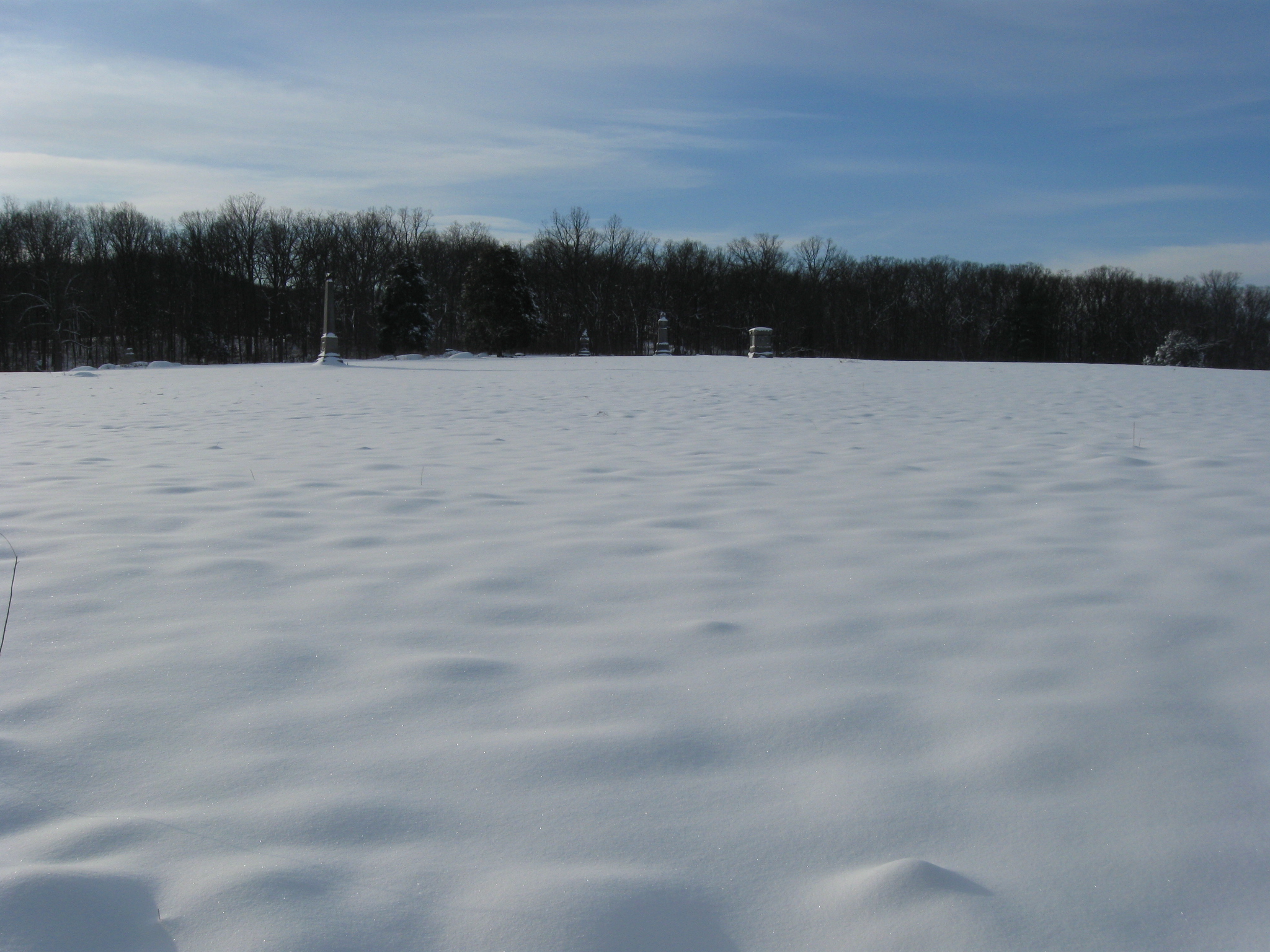
Big Round Top is in the background behind the trees. The monument to the 27th Connecticut is the tallest monument visible. On the far right is the monument to the 61st New York. To its left is the monument to the 81st Pennsylvania. To its left, closest to the trees, is the monument to the 148th Pennsylvania. This view was taken facing southeast at approximately 8:45 AM on Sunday, December 20, 2009.
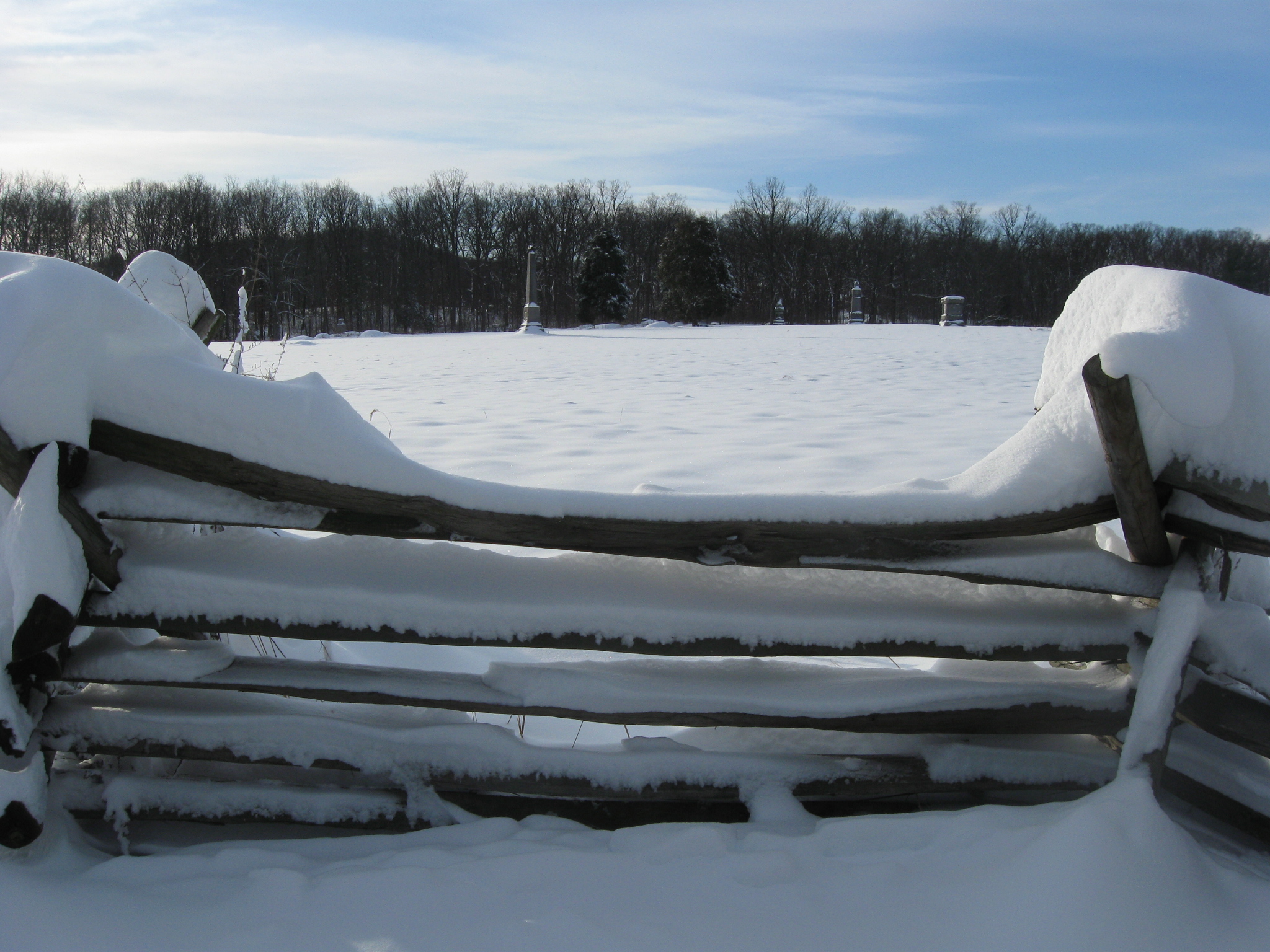
A little closer view from the same area so that we could show more Wheatfield and less fence. This view was taken facing southeast at approximately 8:45 AM on Sunday, December 20, 2009.
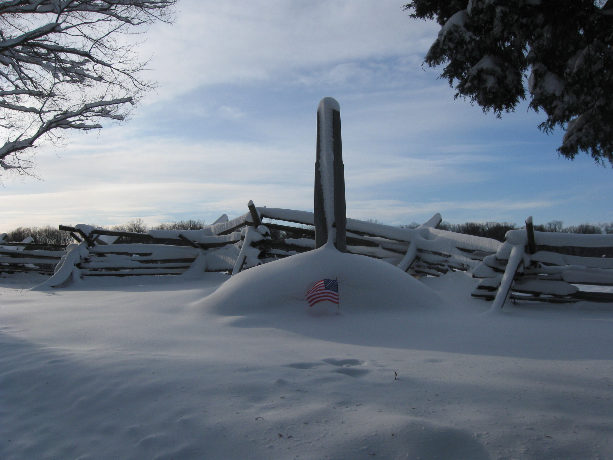
The monument to United States Brigadier General Samuel Zook, mortally wounded in the Wheatfield on July 2, 1863. This view was taken facing southeast at approximately 8:45 AM on Sunday, December 20, 2009.

Big Round Top is visible in the left background. Rose’s Woods dominate the right background… This view was taken facing southeast at approximately 8:45 AM on Sunday, December 20, 2009.

…and Winslow’s New York Battery, whose guns returned to the Wheatfield this summer, proudly occupied the high ground in the Wheatfield. This view was taken facing southeast at approximately 8:45 AM on Sunday, December 20, 2009.
We’ve now reached the north/northwest corner of the Wheatfield. This view was taken facing southeast at approximately 8:45 AM on Sunday, December 20, 2009.
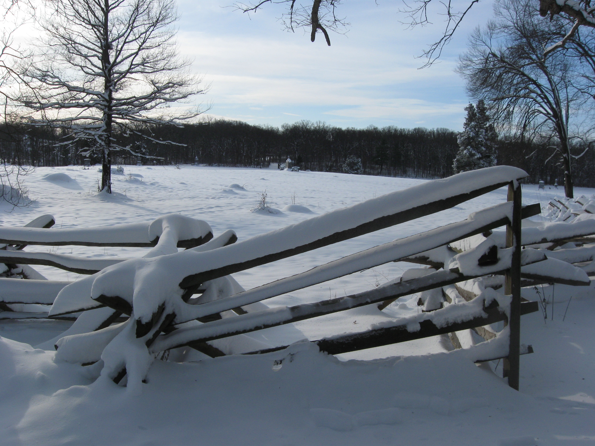
Here the fence that borders the “west” side of the Wheatfield…This view was taken facing southeast at approximately 8:45 AM on Sunday, December 20, 2009.

…meets the fence we have frequently photographed lining the Wheatfield Road. Little Round Top is in the background. This view was taken facing southeast at approximately 8:45 AM on Sunday, December 20, 2009.

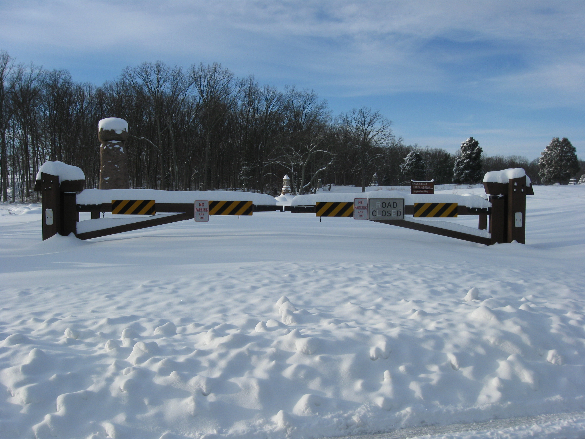
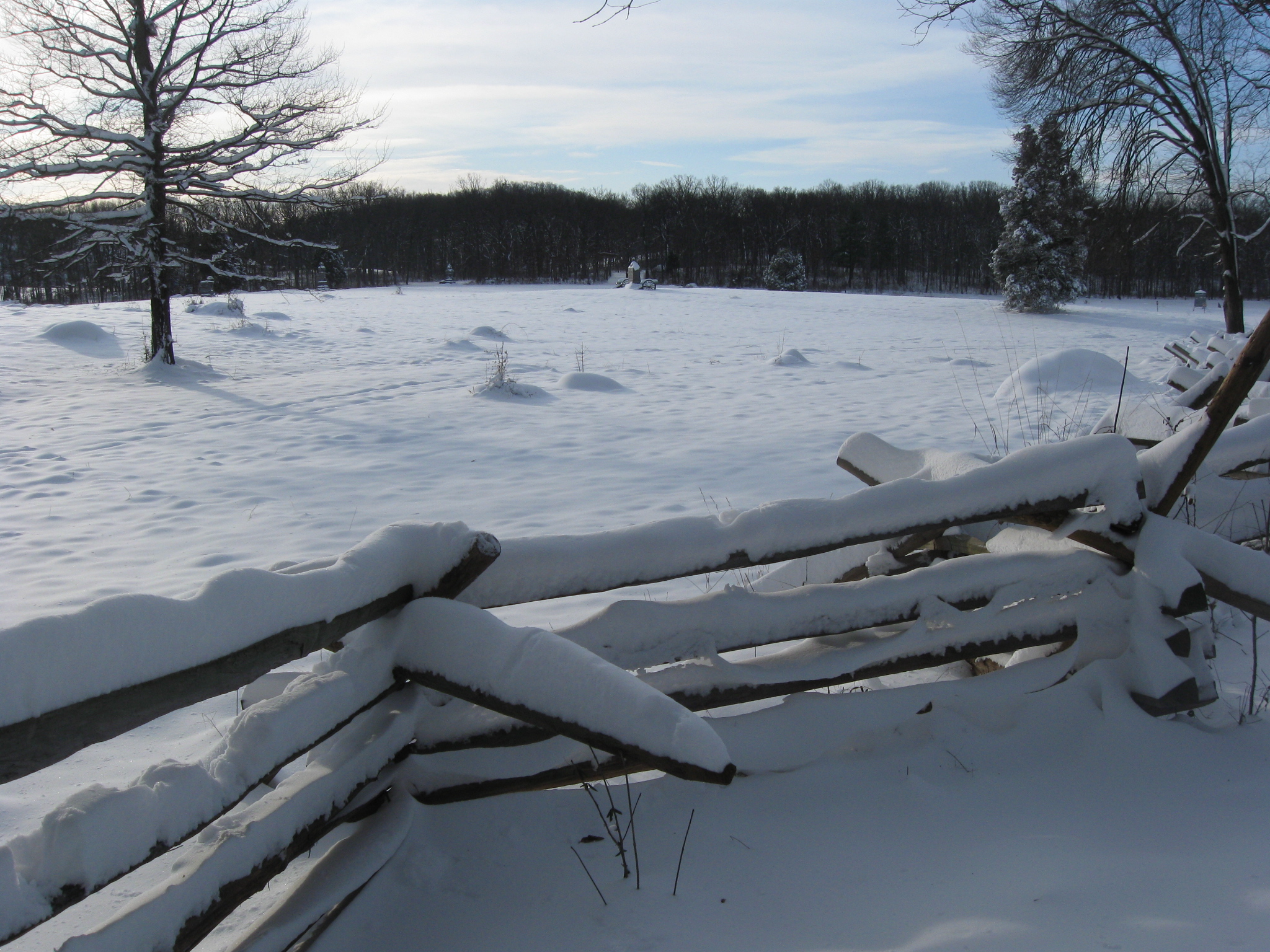
So it was time to start walking to our starting point… This view was taken facing southeast at approximately 8:45 AM on Sunday, December 20, 2009.
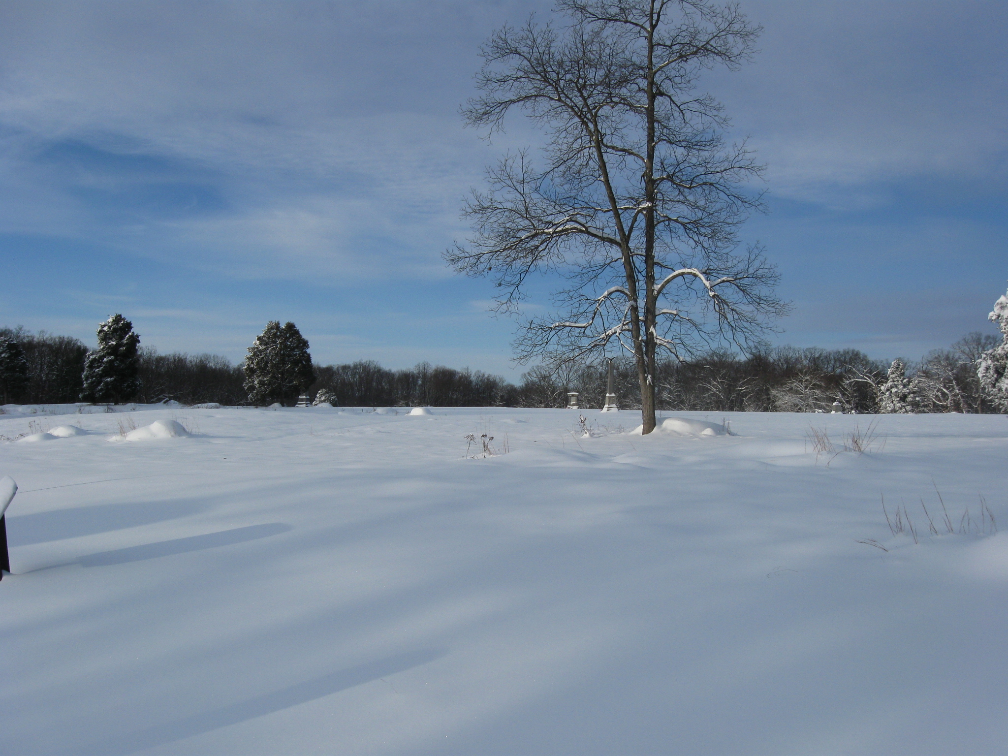
…but we couldn’t resist one last look back. This view was taken facing northwest at approximately 8:45 AM on Sunday, December 20, 2009.