
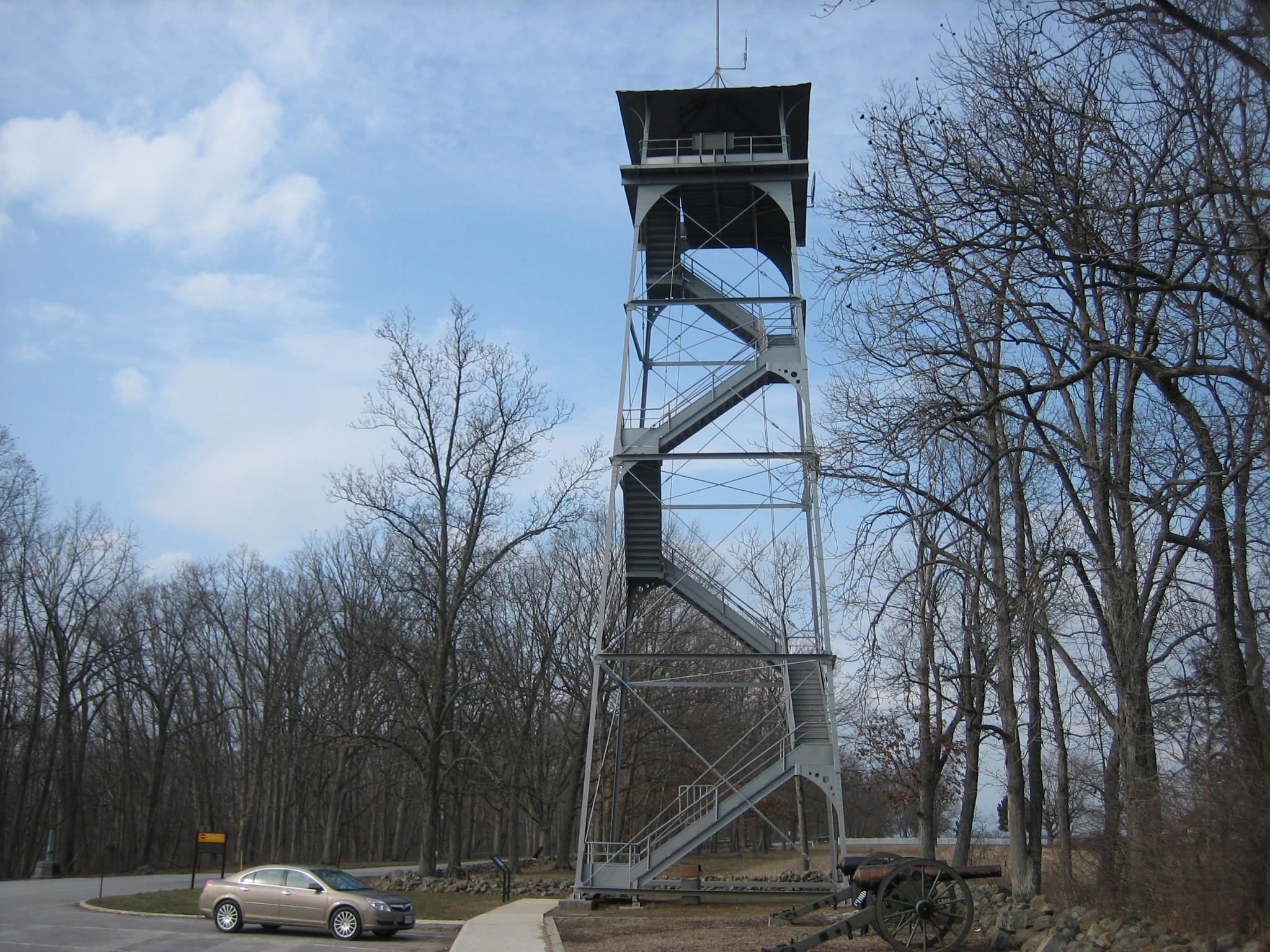
The Longstreet or Eisenhower Tower on West Confederate Avenue. This view is from the south facing north at approximately 4:40 PM on Monday, March 10, 2008.
The Gettysburg Daily wanted to show some landscape shots this Monday afternoon. The weather is calling for rain and snow tonight, but the clouds coming from the west don’t look too ominous in these photos.

View from the southwest to northeast. The Pitzer Farm, or Eisenhower Farm #3 is in the center of this picture. The South Mountains are in the distance. Approximately 4:30 PM on Monday, March 10, 2008.

Front (south) View from east to west. The Millerstown Road is in the foreground. The Eisenhower Farm #1 property is south of the Millerstown Road. Ski Liberty is in the left background. Approximately 4:30 PM on Monday, March 10, 2008.

View from northeast facing southwest. Eisenhower Farm #1 buildings (Biesecker Farm Buildings in 1860) in the left background. Ski Liberty is in the right background. Approximately 4:30 PM on Monday, March 10, 2008.
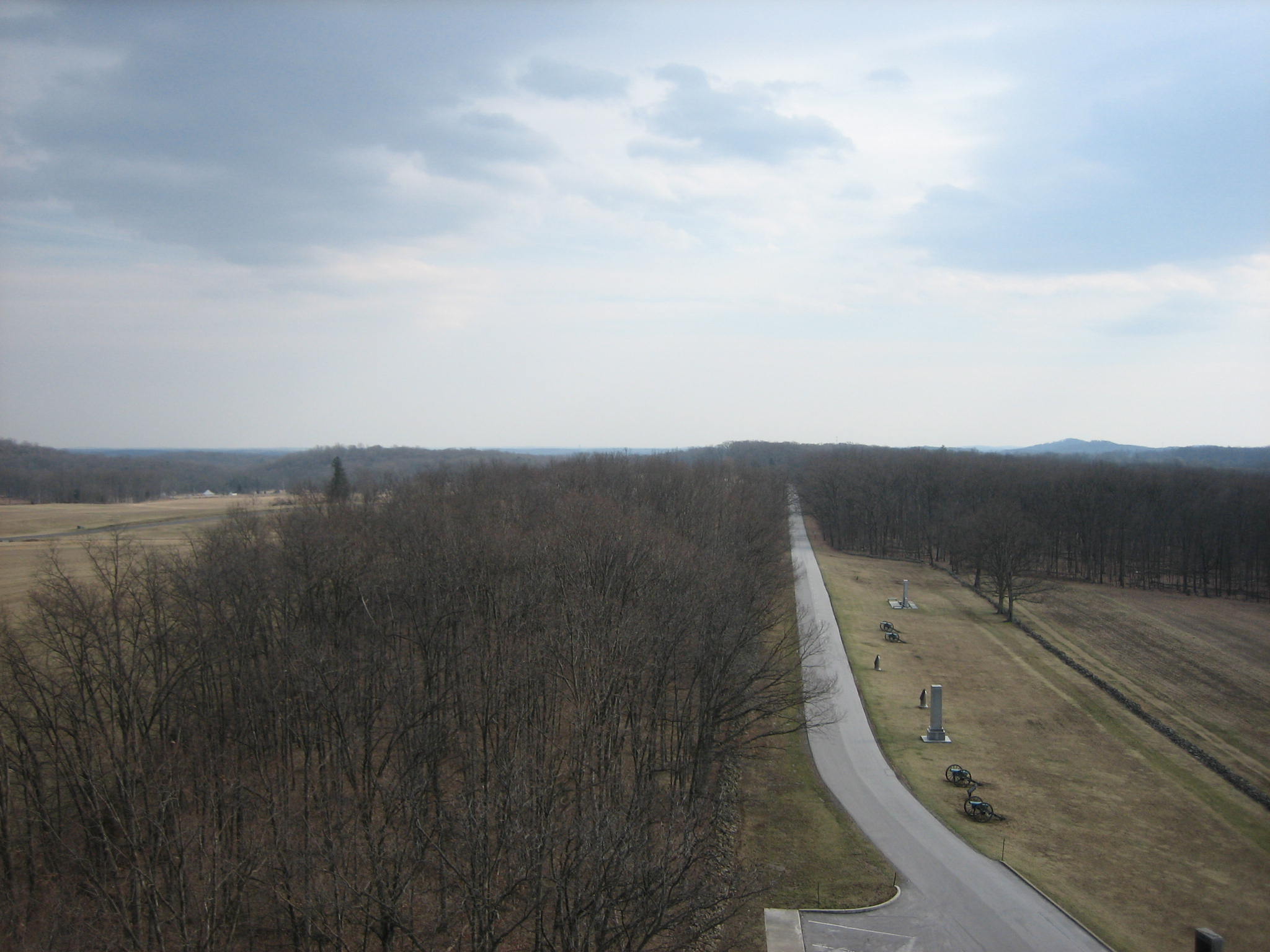
View from the north facing south. West Confederate Avenue is clearly shown with the Georgia and South Carolina State Monuments west of the road. Biesecker’s Woods are in the background. Approximately 4:30 PM on Monday, March 10, 2008.
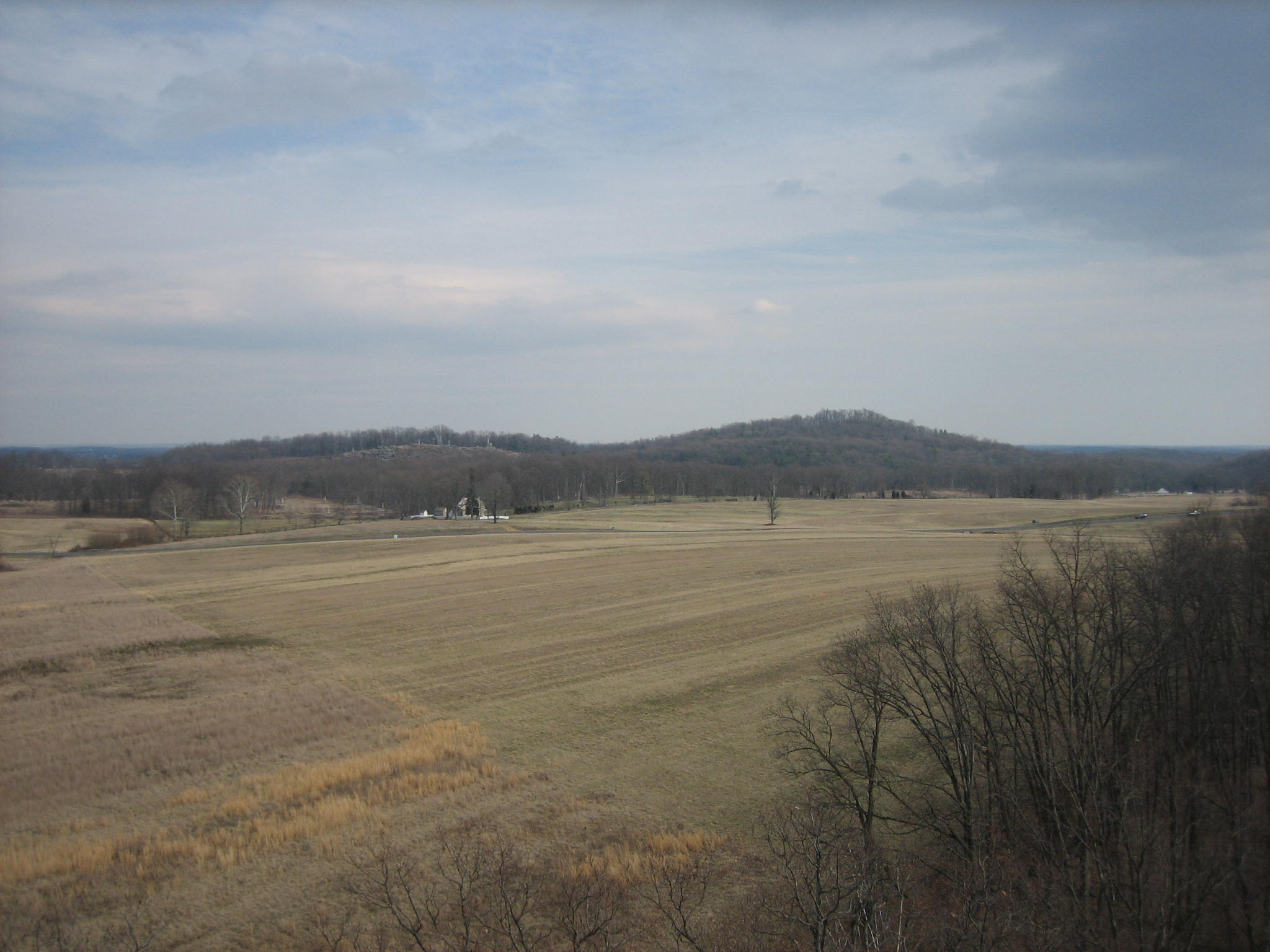
View from the northwest facing southeast. Big Round Top is to the right, and Little Round Top is on the left of Big Round Top. The Rose Farm is in the middle distance, and the southwest corner of Rose’s Wheatfield is left of the Rose Farm. Approximately 4:30 PM on Monday, March 10, 2008.

View from the southwest facing northeast. Joseph Sherfy farm is in the left middle distance. The Sherfy Peach Orchard is the green area in the right middle distance. The Pennsylvania monument is in the middle background. The Cyclorama Building is in the left background. Approximately 4:30 PM on Monday, March 10, 2008.

View from the southwest facing northeast. Joseph Sherfy farm and red barn is in the right center of the view. The Alexander Spangler Farm is the red barn in the left center of this view. The Cyclorama Building and light green water tower on Cemetery Hill are in the center background. Approximately 4:30 PM on Monday, March 10, 2008.
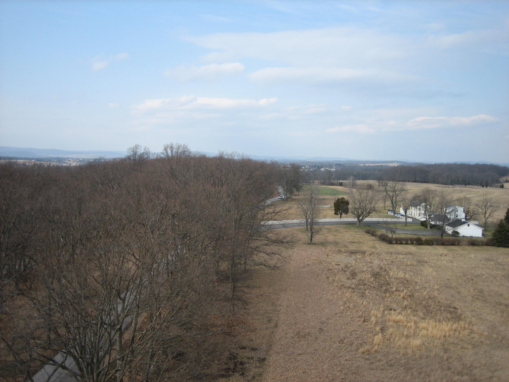
View from the south facing north. The Warfield/Johnson Farm are the white buildings on the right of this picture. The Wheatfield/Millerstown Road is running from east to west. West Confederate Avenue runs from north to south. The Eternal Light Peace Memorial (Peace Light) is on Oak Hill in the distant background. Approximately 4:30 PM on Monday, March 10, 2008.