
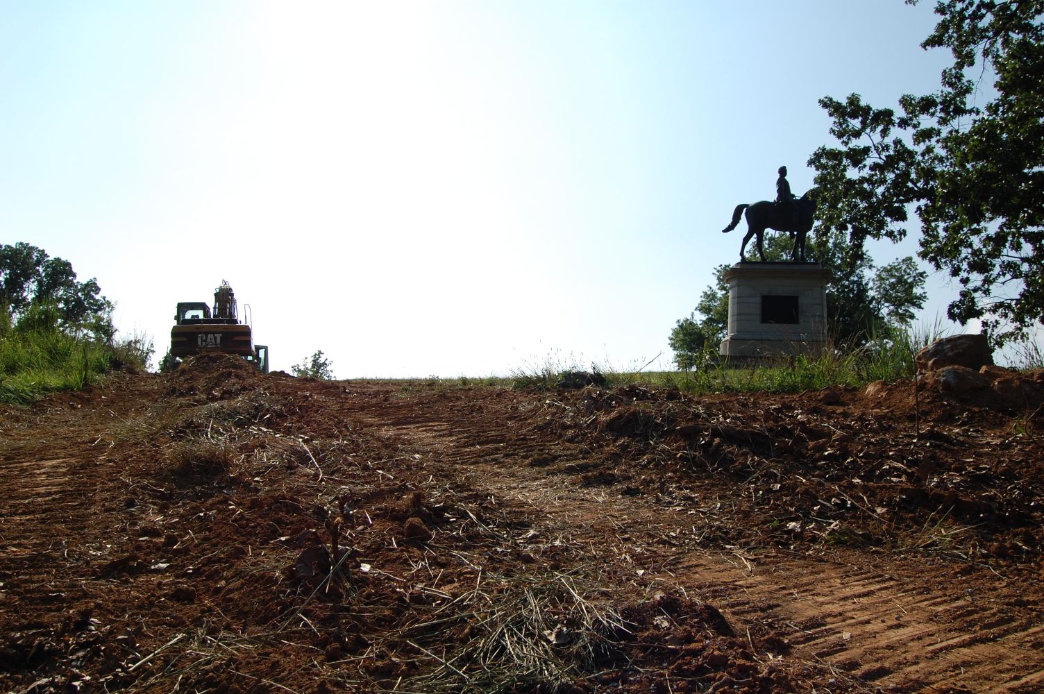
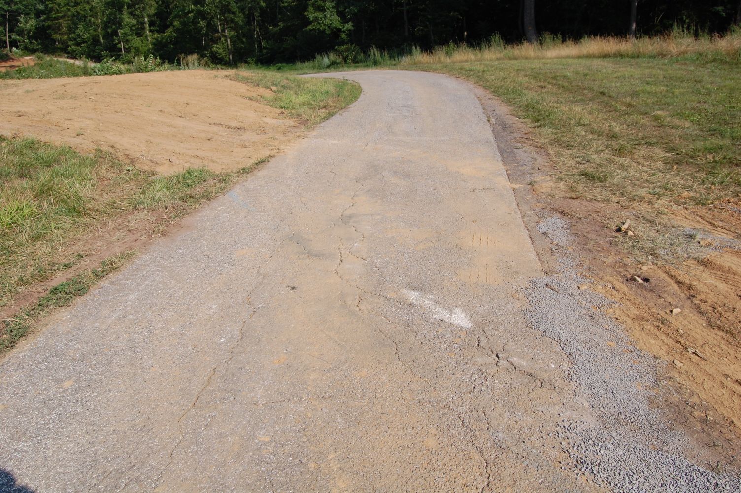
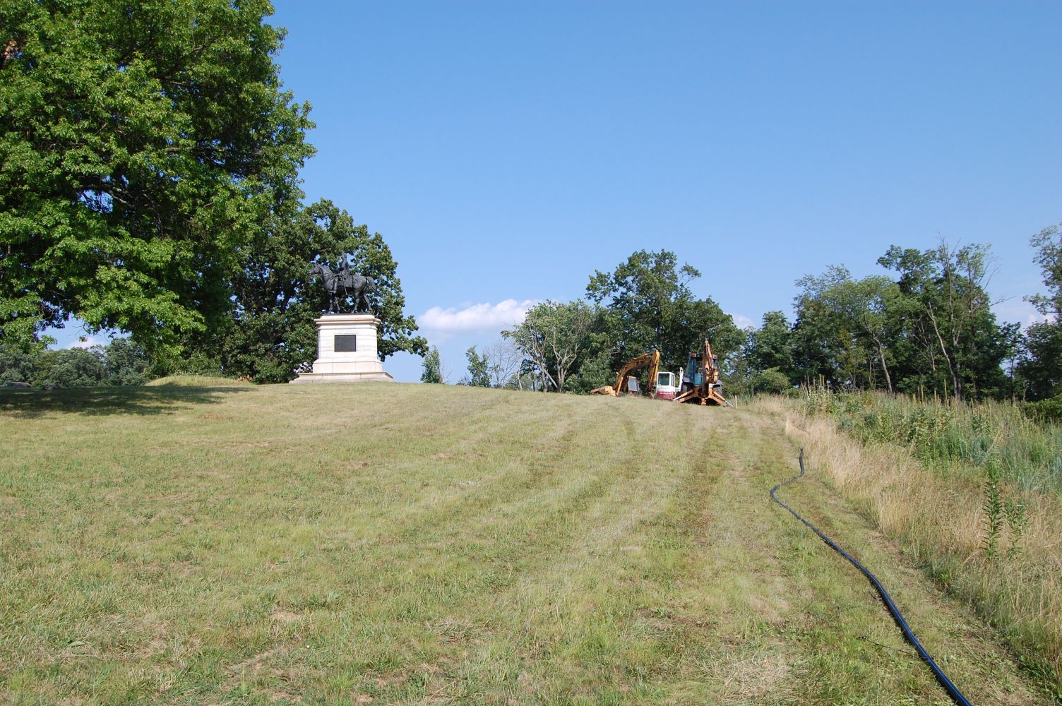
The water line has crested Steven’s Knoll and descended across Slocum Avenue. United States Major General Henry Slocum’s equestrian statue is in the right background. This view was taken facing west at approximately 6:05 PM on Wednesday, July 21, 2010.
The water line being constructed from the Spangler’s Spring Restroom to East Cemetery Hill has made its way across Stevens’ Knoll/McKnight’s Hill. At the top of the hill, near a water main the contractors dug up and exposed the previous water line. Piping from the old line has been removed from this area and what they have dug up towards Cemetery Hill.

Here’s where we left off last time, just east of Williams Avenue. This view was taken facing northwest at approximately 6:05 PM on Wednesday, July 21, 2010.

The water line follows Williams Avenue here closely. The grass on Steven’s Knoll is visible in the center background. This view was taken facing west at approximately 6:05 PM on Wednesday, July 21, 2010.

Instead of following the road the water line being dug here diverges north of Williams Avenue. This view was taken facing northwest at approximately 6:05 PM on Wednesday, July 21, 2010.
It goes up the embankment here … This view was taken facing north at approximately 6:05 PM on Wednesday, July 21, 2010.
… And runs east to the west for a ways. Please note that the undergrowth removed here is wider than Williams Avenue, in the left background of this shot. This view was taken facing west at approximately 6:05 PM on Wednesday, July 21, 2010.
It straightens out again and continues toward the road. The Slocum equestrian statue is behind the tree in the center background. This view was taken facing west at approximately 6:05 PM on Wednesday, July 21, 2010.

Such large swaths have been cleared in the area of the construction due to the size and variety of equipment used. One imagines this is not quite how it looked when this line was being hand dug in the 1930s. This view was taken facing west at approximately 6:05 PM on Wednesday, July 21, 2010.

Vegetation is cleared out of the way for bulldozers to make their way between the road and the water line. Williams Avenue is in the background. This view was taken facing south at approximately 6:05 PM on Wednesday, July 21, 2010.
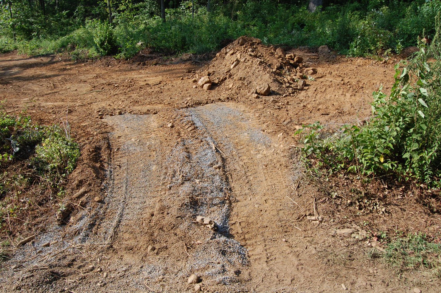
In order to not disturb the road, the pipe is threaded under it. This view was taken facing southeast at approximately 6:05 PM on Wednesday, July 21, 2010.
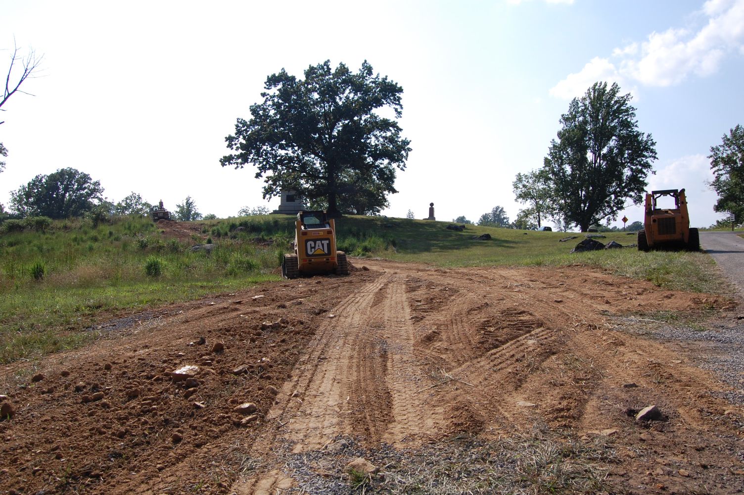
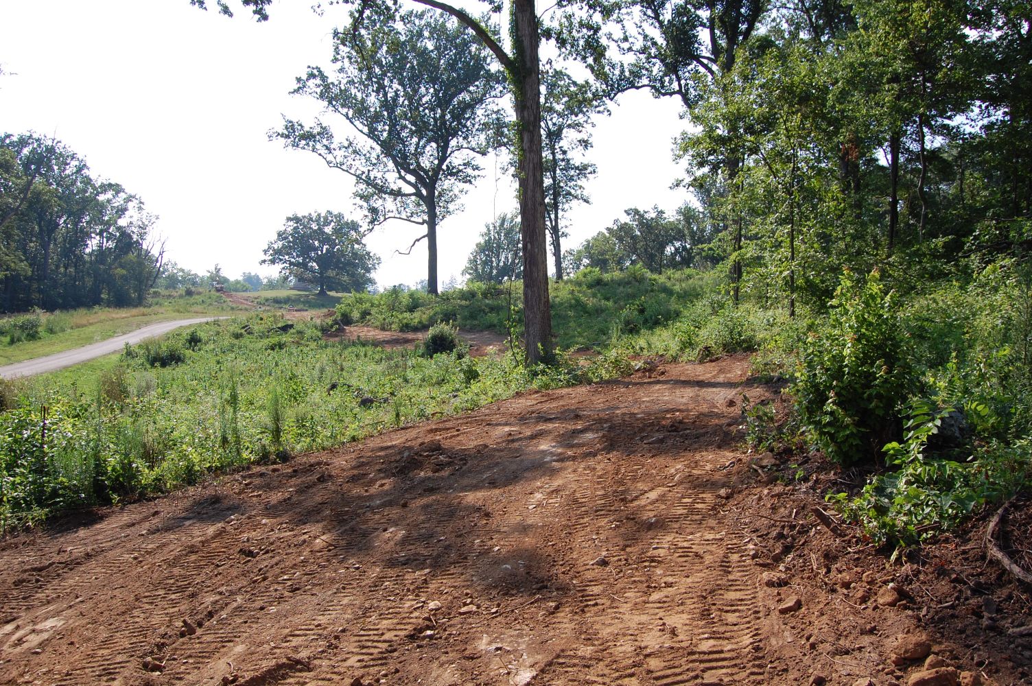
The digging begins again on the other side of the road. Steven’s Knoll is in the background. This view was taken facing northwest at approximately 6:05 PM on Wednesday, July 21, 2010.
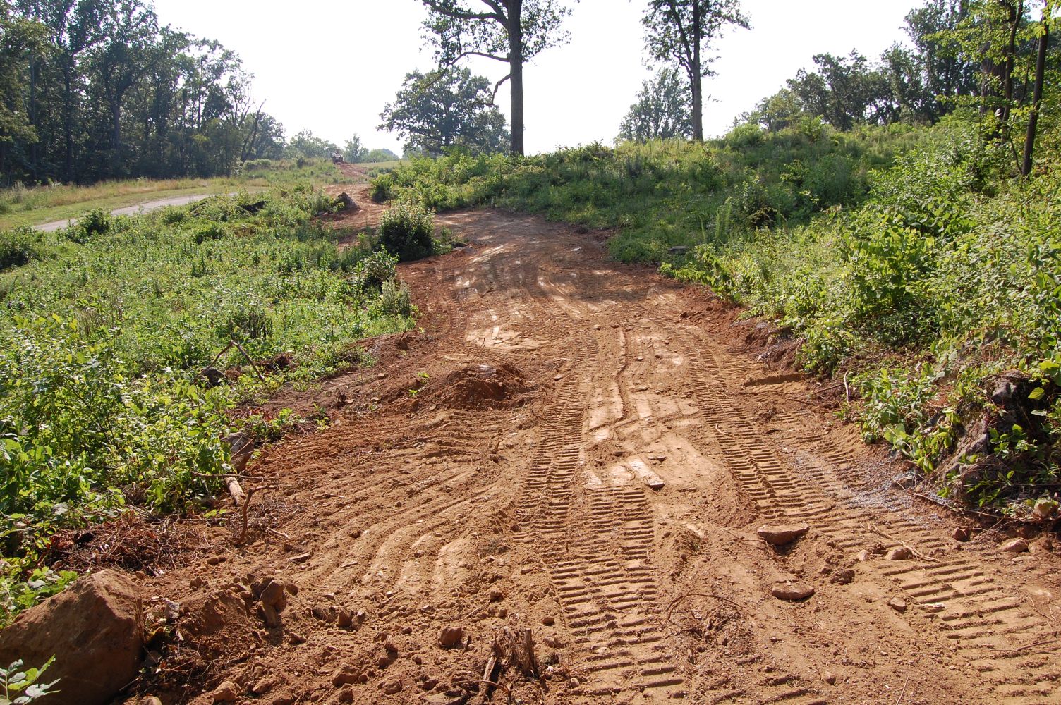
This view was taken facing west at approximately 6:05 PM on Wednesday, July 21, 2010.

Looking back down the east slope of Steven’s Knoll. This view was taken facing east at approximately 6:05 PM on Wednesday, July 21, 2010.
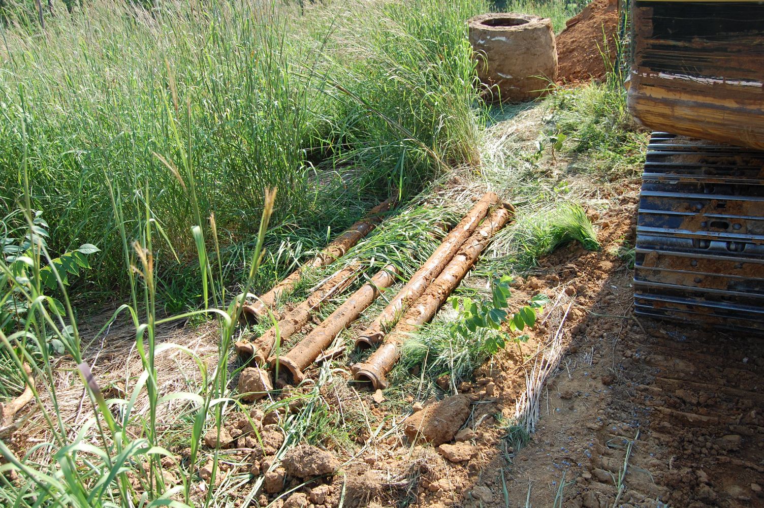
Pipe from the old water line is finally visible, having been removed around a central area at the center of the hill. This view was taken facing west at approximately 6:05 PM on Wednesday, July 21, 2010.
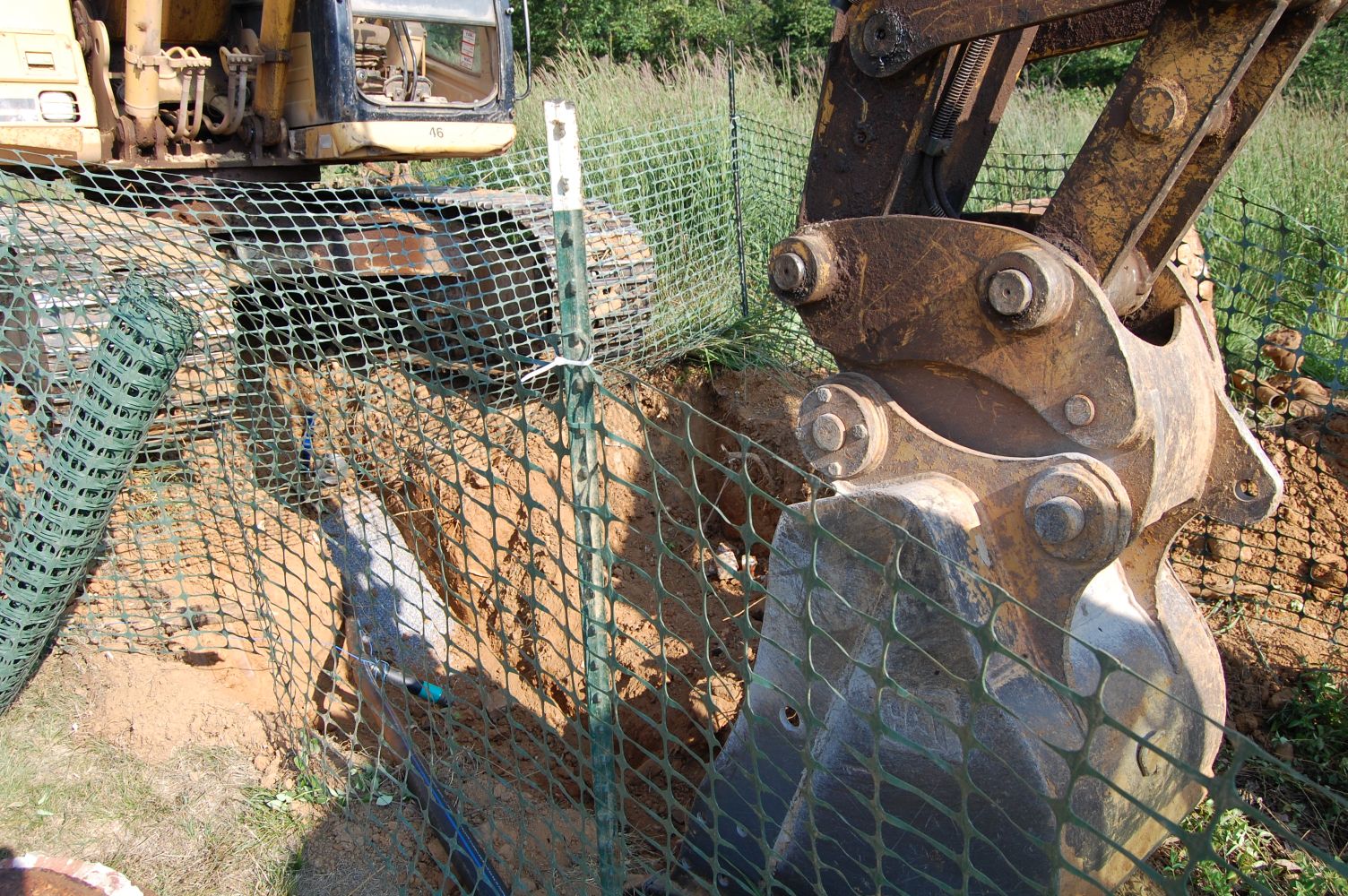
The site of this primary digging is where we saw a water main in our original post covering the water line. This view was taken facing southeast at approximately 6:05 PM on Wednesday, July 21, 2010.
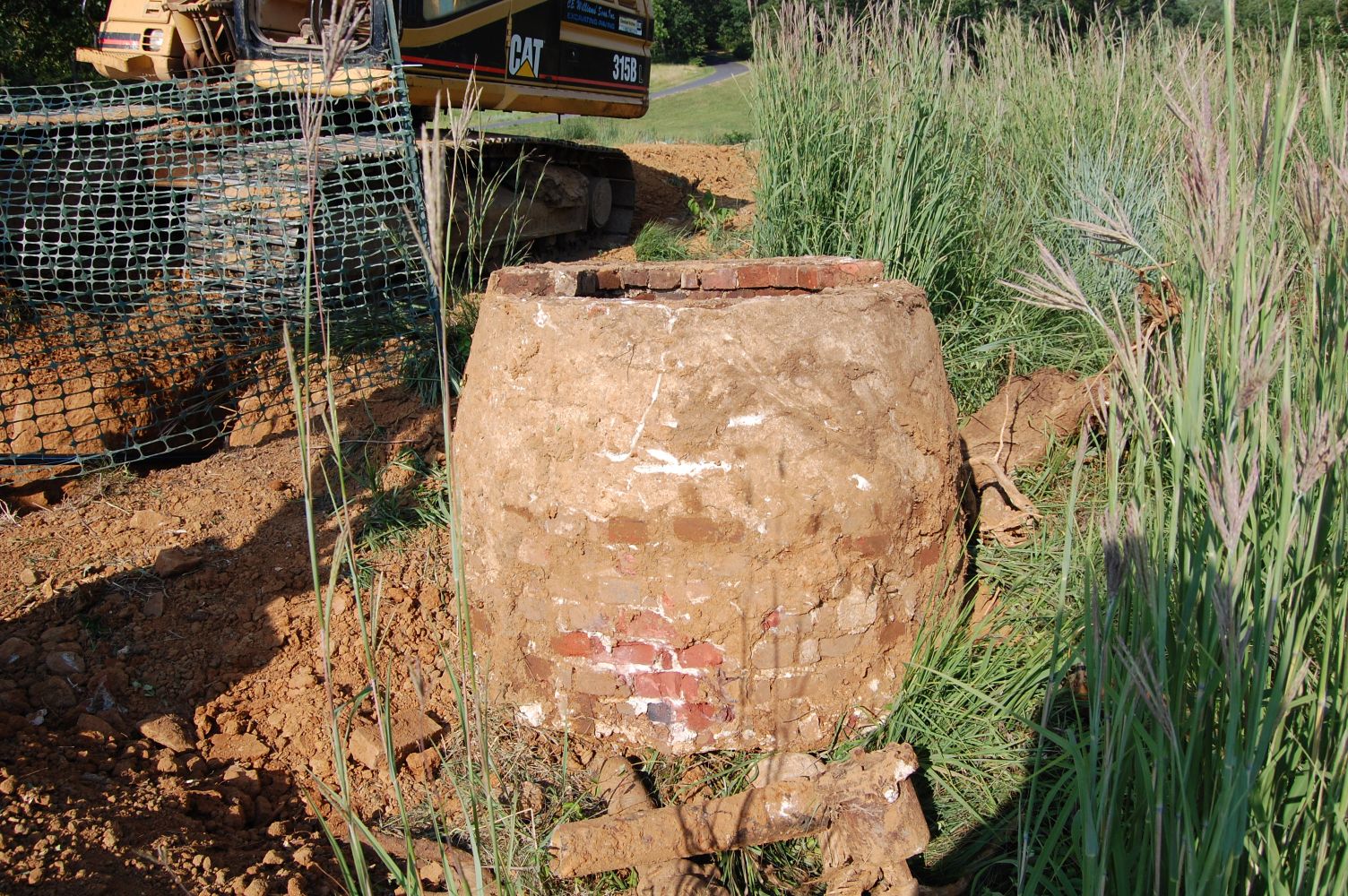
This circular brick structure was removed, along with the piping. This view was taken facing east at approximately 6:05 PM on Wednesday, July 21, 2010.
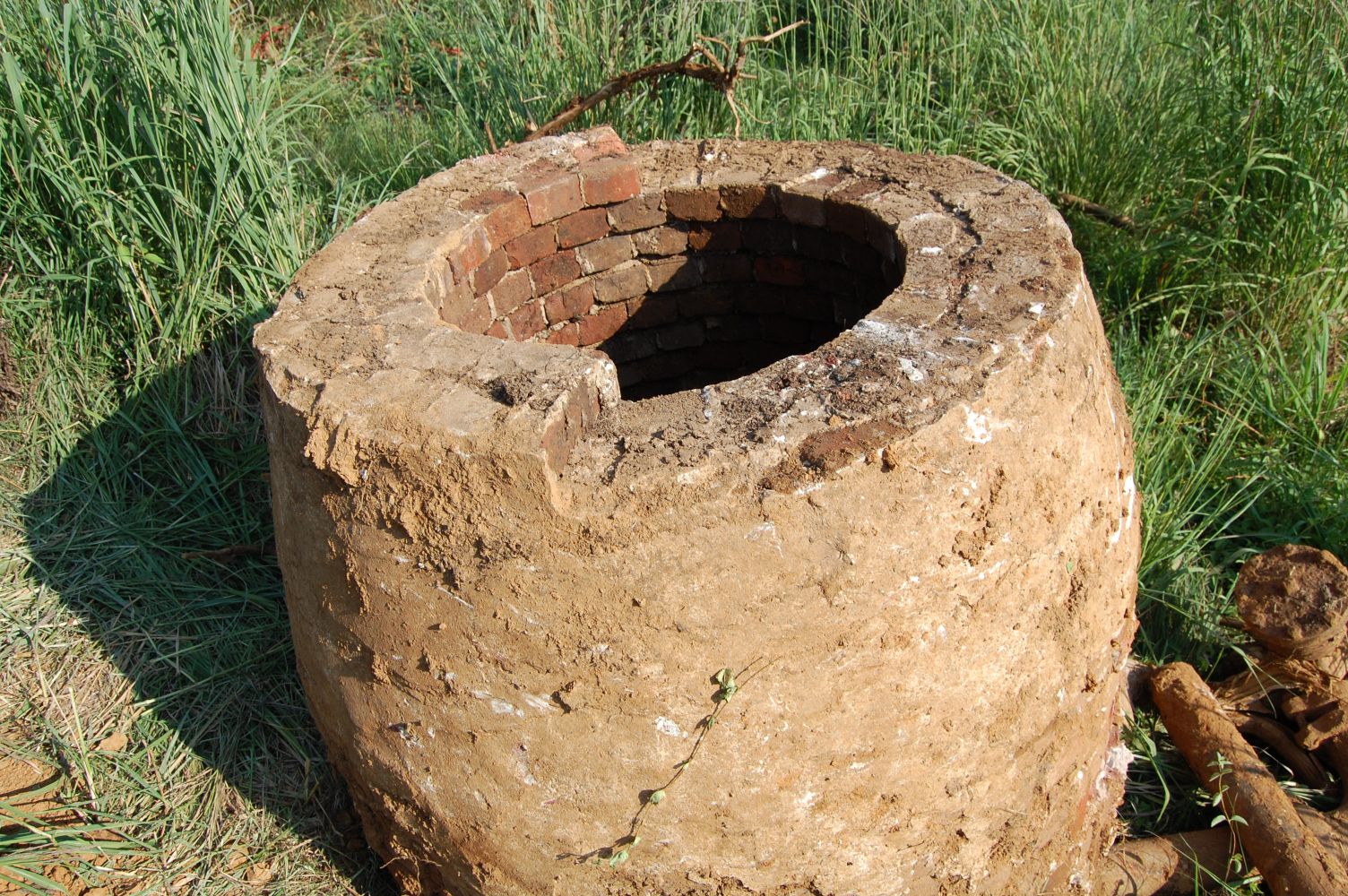
Here’s a closer view. This view was taken facing southeast at approximately 6:05 PM on Wednesday, July 21, 2010.
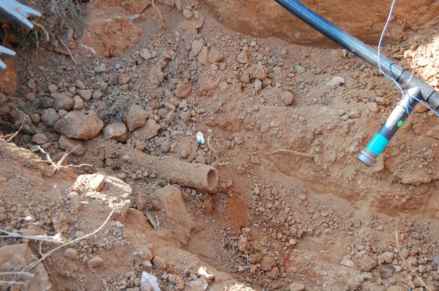
In the trench itself we can see the old water line (on the left), and the new one on the right. This view was taken facing north at approximately 6:05 PM on Wednesday, July 21, 2010.
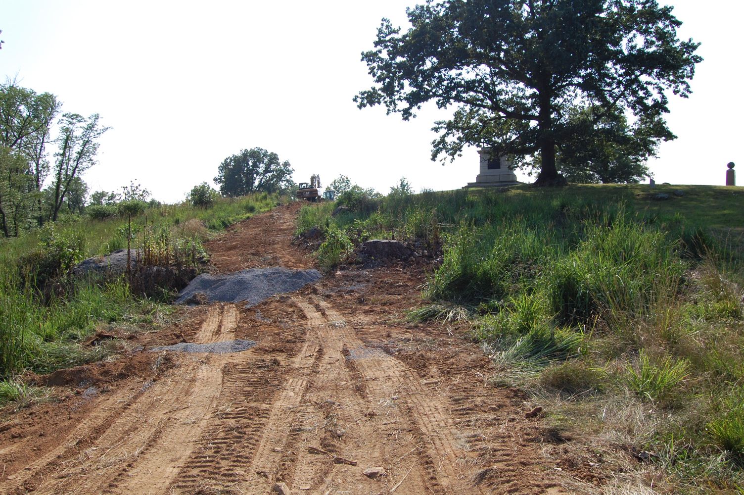
The trench for the new line has not yet been dug on the western slope of Steven’s Knoll, but the pipe itself has made its way down. This view was taken facing east at approximately 6:05 PM on Wednesday, July 21, 2010.
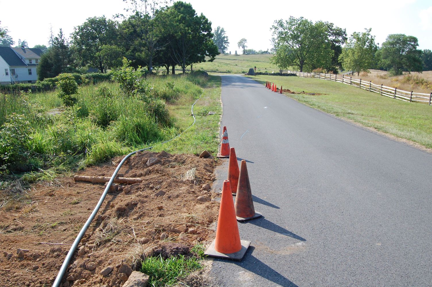
The cone positions here mark where the line will be threaded under Slocum Avenue. The cones in the foreground mark where it will enter and the cones in the background mark where it will exit. This view was taken facing northwest at approximately 6:05 PM on Wednesday, July 21, 2010.

A view back from the exit point across Slocum Avenue. This view was taken facing southeast at approximately 6:05 PM on Wednesday, July 21, 2010.
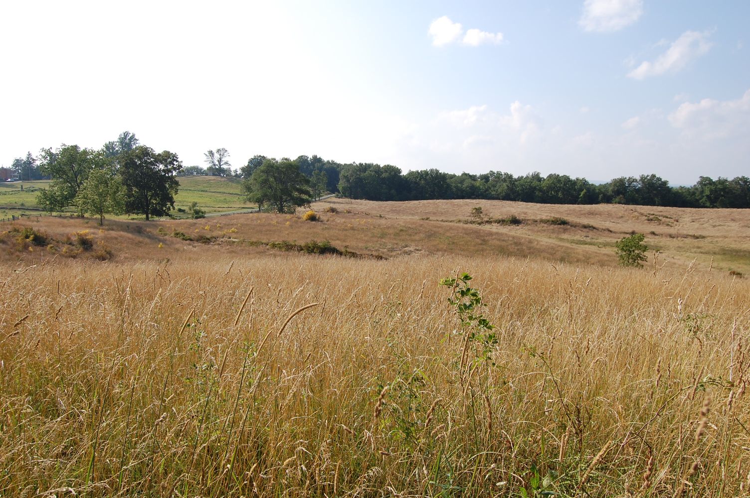
Next up: East Cemetery Hill, visible in the left background. We’re hoping that they go under the stone walls on Cemetery Hill as they went under the road in the area of Stevens’ Knoll. This view was taken facing northwest at approximately 6:05 PM on Wednesday, July 21, 2010.