

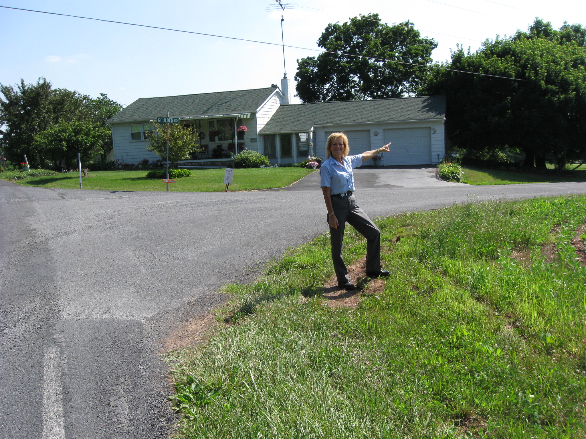
Gettysburg Licensed Battlefield Guide Andie Custer is the host for this series on South Cavalry Field. She is standing at the junction of White Church Road (on the left) and Goulden Road, which runs from left to right. Brigadier General Elon Farnsworth’s Cavalry Brigade went in the direction that Andie is pointing on the morning of July 3, 1863. This view was taken facing southwest at approximately 4:30 PM on Friday, June 18, 2010.
The Battle of South Cavalry Field took place after Pickett’s Charge on July 3, 1863. It was an attack by the Union Cavalry to be coordinated with Union infantry on the south end of the battlefield.
In today’s South Cavalry Field post, Gettysburg Licensed Battlefield Guide Andie Custer shows us the route taken by Farnsworth’s Brigade along the Goulden-Sachs Road, and down the Taneytown Road to Rock Creek, where they watered their horses.
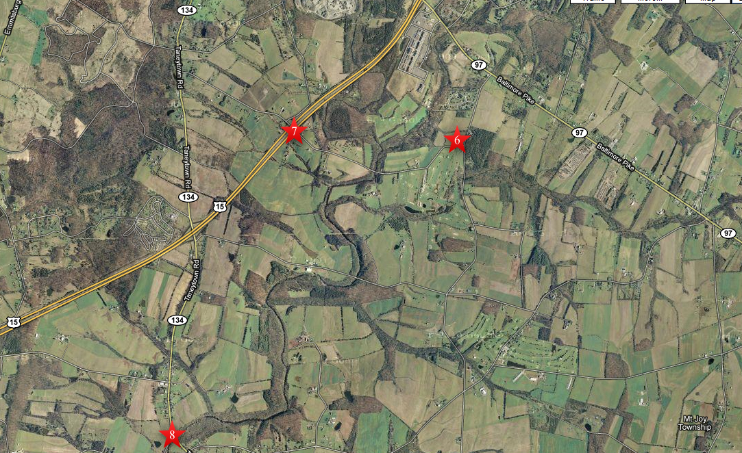
This map shows us the locations taken of the videos for this South Cavalry Field series. Videos #1-#5 were shown in our previous posts. Video #6 was taken at the junction of White Church Road and Goulden Road. Video #7 was taken on the Goulden-Sachs Road where it crosses modern US Highway 15. Video #8 was taken where the Taneytown Road crosses Rock Creek. This map was created facing north at approximately 8:00 AM on Saturday, June 19, 2010.
In Video #6 (Videos #1- #5 were shown in our previous South Cavalry Field posts) Gettysburg Licensed Battlefield Guide Andie Custer shows us the route taken by Brigadier General Elon J. Farnsworth’s Brigade on the Goulden-Sachs Road on the morning of July 3, 1863. This view was taken facing northeast to southwest at approximately 4:30 PM on Friday, June 18, 2010.

Licensed Battlefield Guide Andie Custer is standing on the Goulden-Sachs Road near the bridge crossing modern US Highway 15, the four lane highway below her. Andie is pointing to Big Round Top, which Farnsworth’s Cavalry always used as a landmark to know where the left of the Army of the Potomac was located on July 3, 1863. This view was taken facing southwest at approximately 4:30 PM on Friday, June 18, 2010.
In Video #7 Licensed Battlefield Guide Andie Custer is standing on the Goulden-Sachs Road near the overpass crossing modern US 15. She describes how Farnsworth’s Brigade continued to the Taneytown Road and went south along it in search of water at Rock Creek. She also points out Little Round Top, and a ridge where Confederate skirmishers were located. This view was taken facing west to southwest at approximately 4:30 PM on Friday, June 18, 2010.

Licensed Battlefield Guide Andie Custer is standing at the junction of the Goulden-Sachs Road (here called Sachs Road) and the Taneytown Road. Farnsworth’s Cavalry headed south down the Taneytown Road (away from the camera) in search of water at Rock Creek. This view was taken facing south at approximately 4:30 PM on Friday, June 18, 2010.
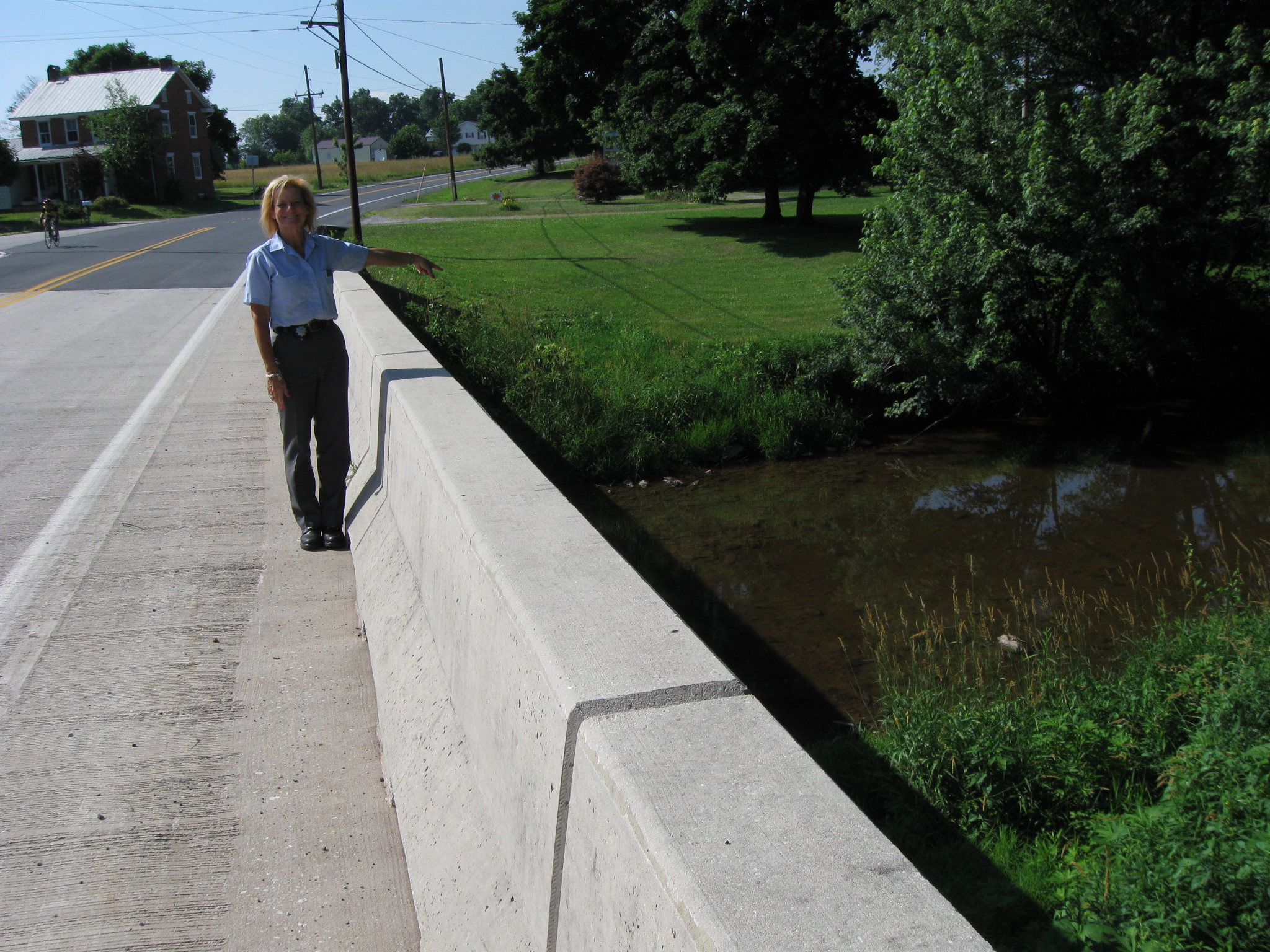
Andie Custer is standing on the Taneytown Road bridge that crosses Rock Creek. Farnsworth’s cavalrymen approached Rock Creek from the background, as the bicyclist on the left is doing. This view was taken facing north at approximately 4:30 PM on Friday, June 18, 1863.
In Video #8 Andie Custer is standing on the Taneytown Road bridge which crosses Rock Creek. She explains how Farnsworth’s troopers watered their horses here before attempting to maneuver around the Confederate right flank. This view was taken facing north at approximately 4:30 PM on Friday, June 18, 2010.

This map of the cavalry actions on July 3, 1863 at Gettysburg was created by Andie Custer and David Roth of Blue and Gray Magazine. It is reprinted with permission from Blue and Gray Magazine.
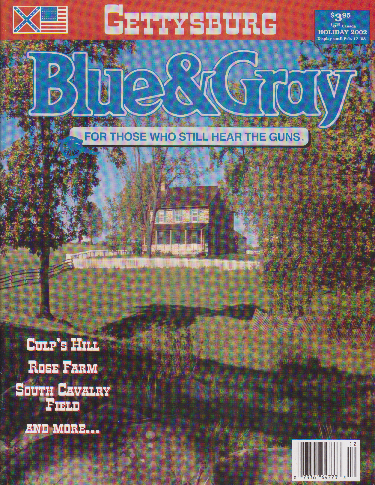
The previous map appeared in this Holiday, 2002 edition of Blue and Gray Magazine.