

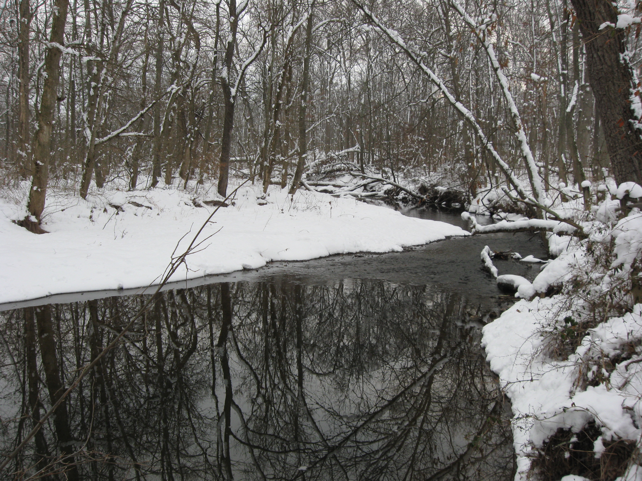
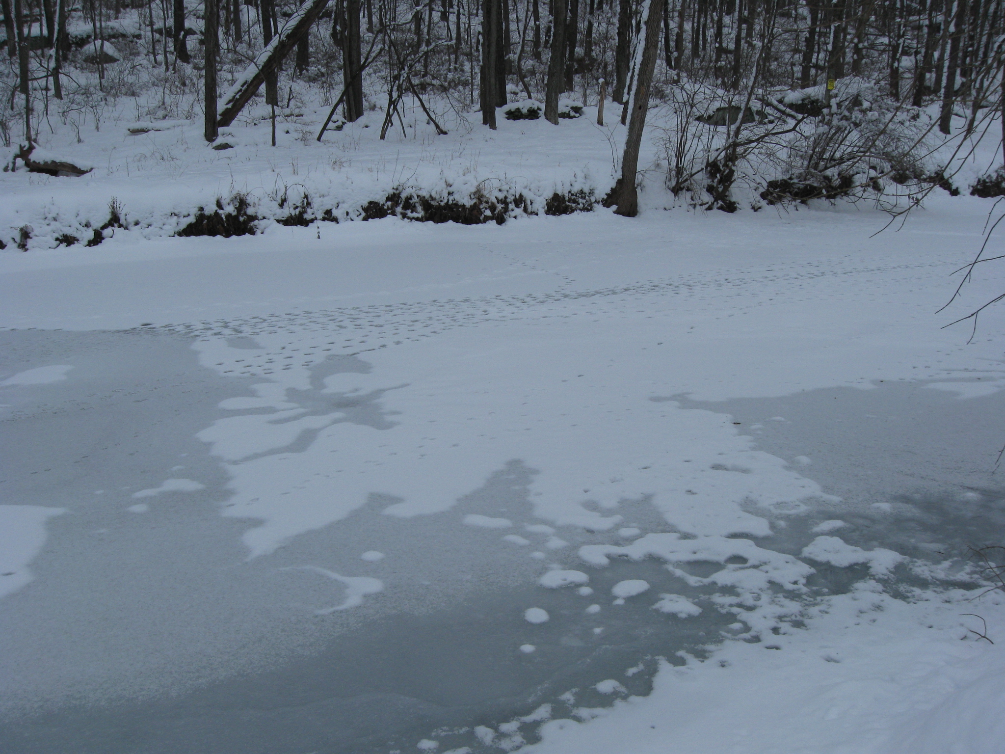
Rock Creek flows mostly north to south in Adams County, Pennsylvania, and mostly to the east of Gettysburg. Parts of it are frozen over following the recent cold weather and snows. Notice the animal tracks in the left foreground. This view was taken from the Rock Creek Bridge over the Hanover Road. This view was taken facing northwest at approximately 9:00 AM on Sunday, January 30, 2011.
Today’s post contains winter pictures that we took along Rock Creek. In the summertime, parts of the creek are difficult to access because of all of the undergrowth. We wanted to see what it looked like in a snowy setting.
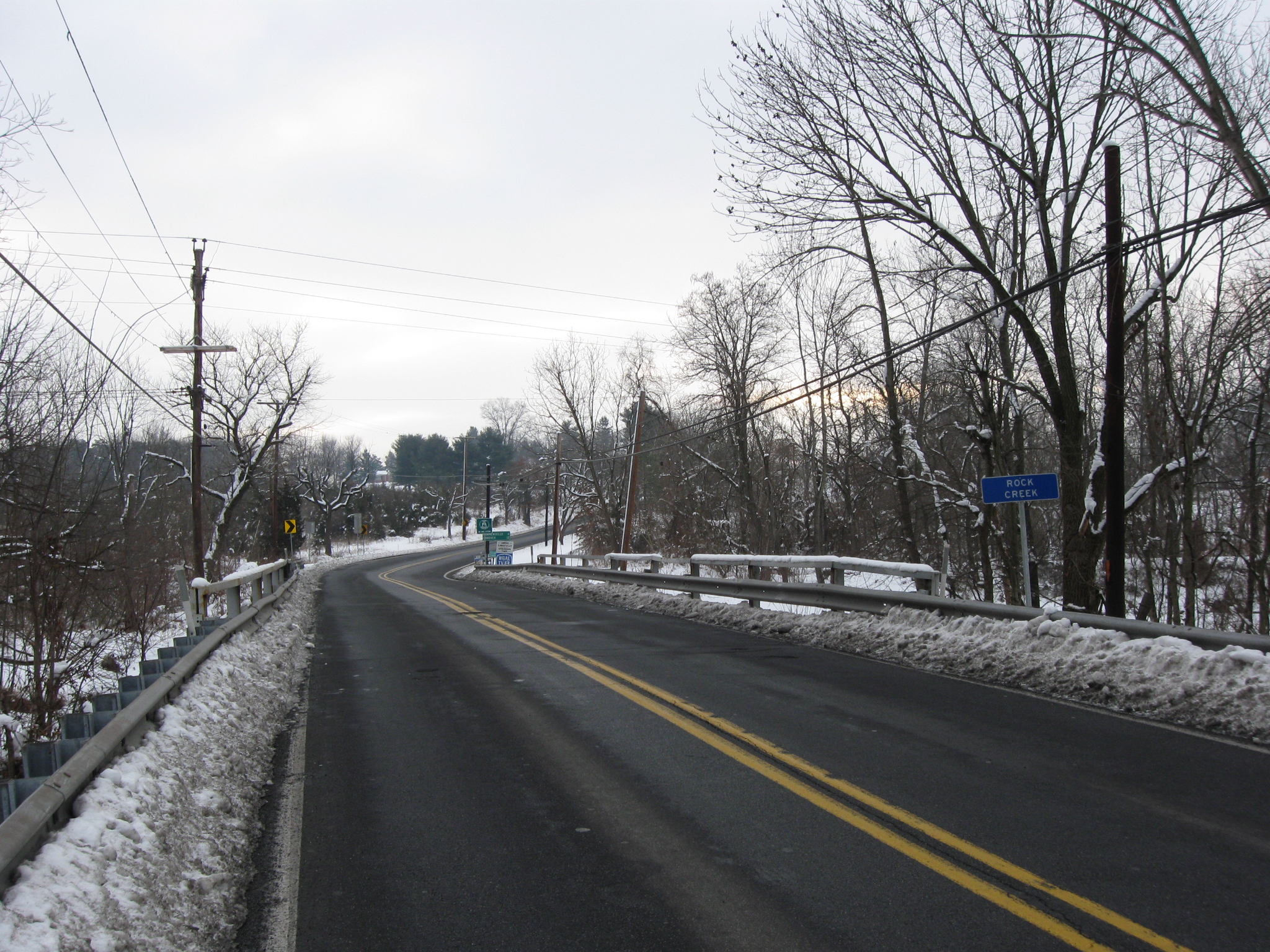
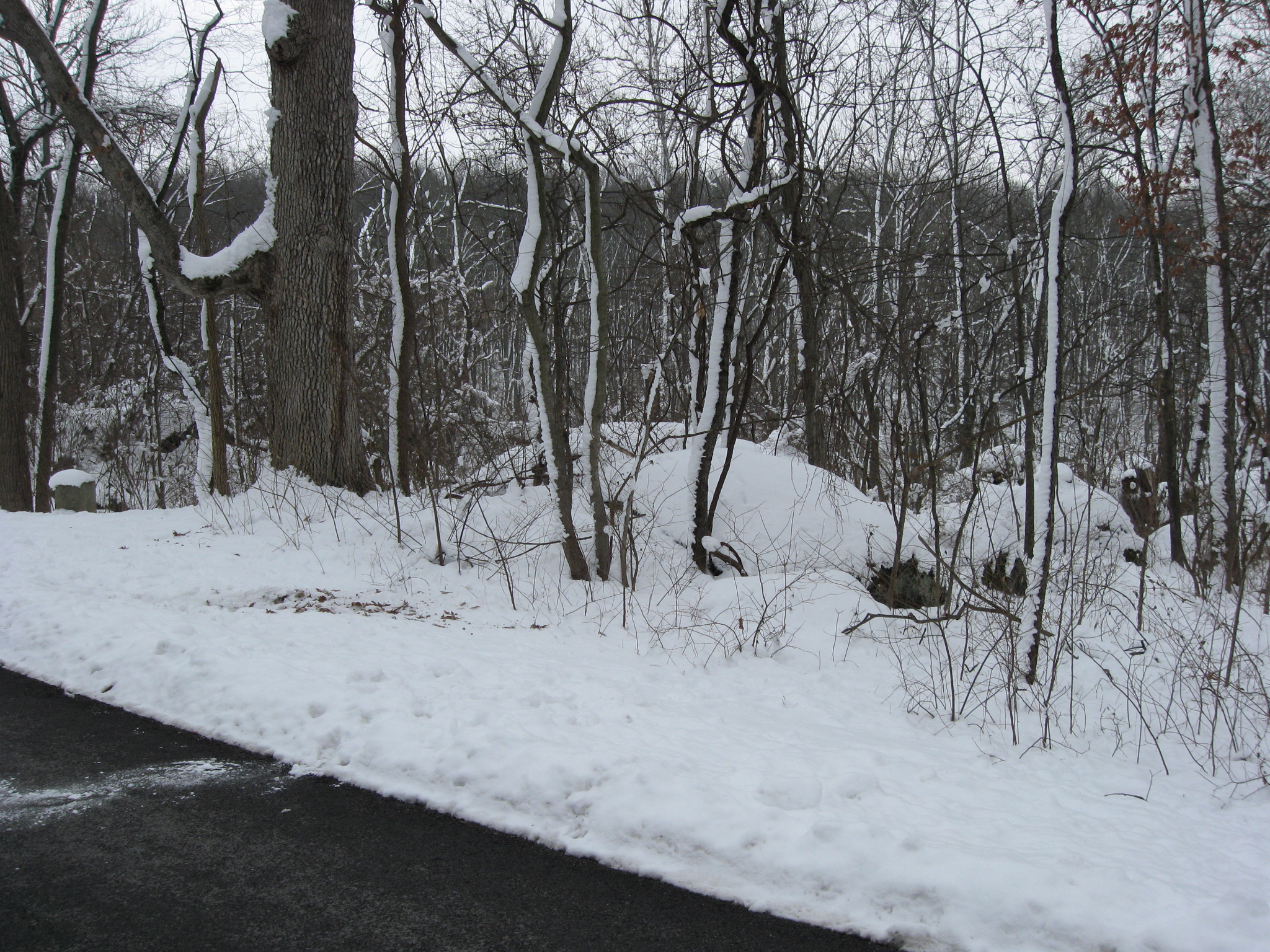
The first pictures were taken on the Rock Creek Bridge over the Hanover Road. This view was taken facing east at approximately 9:00 AM on Sunday, January 30, 2011.

Like the first picture, this picture is also from the Hanover Road Bridge. Rock Creek eventually flows into Marsh Creek near the Pennsylvania-Maryland Border and forms the Monacacy River. This view was taken facing south at approximately 9:00 AM on Sunday, January 30, 2011.

We’ll follow Rock Creek by moving south. Rock Creek is just on the other side of the trees closest to the camera. It flows along the base of Benner’s Hill, which is in the background. The Hanover Road is in the left background. This view was taken facing east at approximately 9:00 AM on Sunday, January 30, 2011.
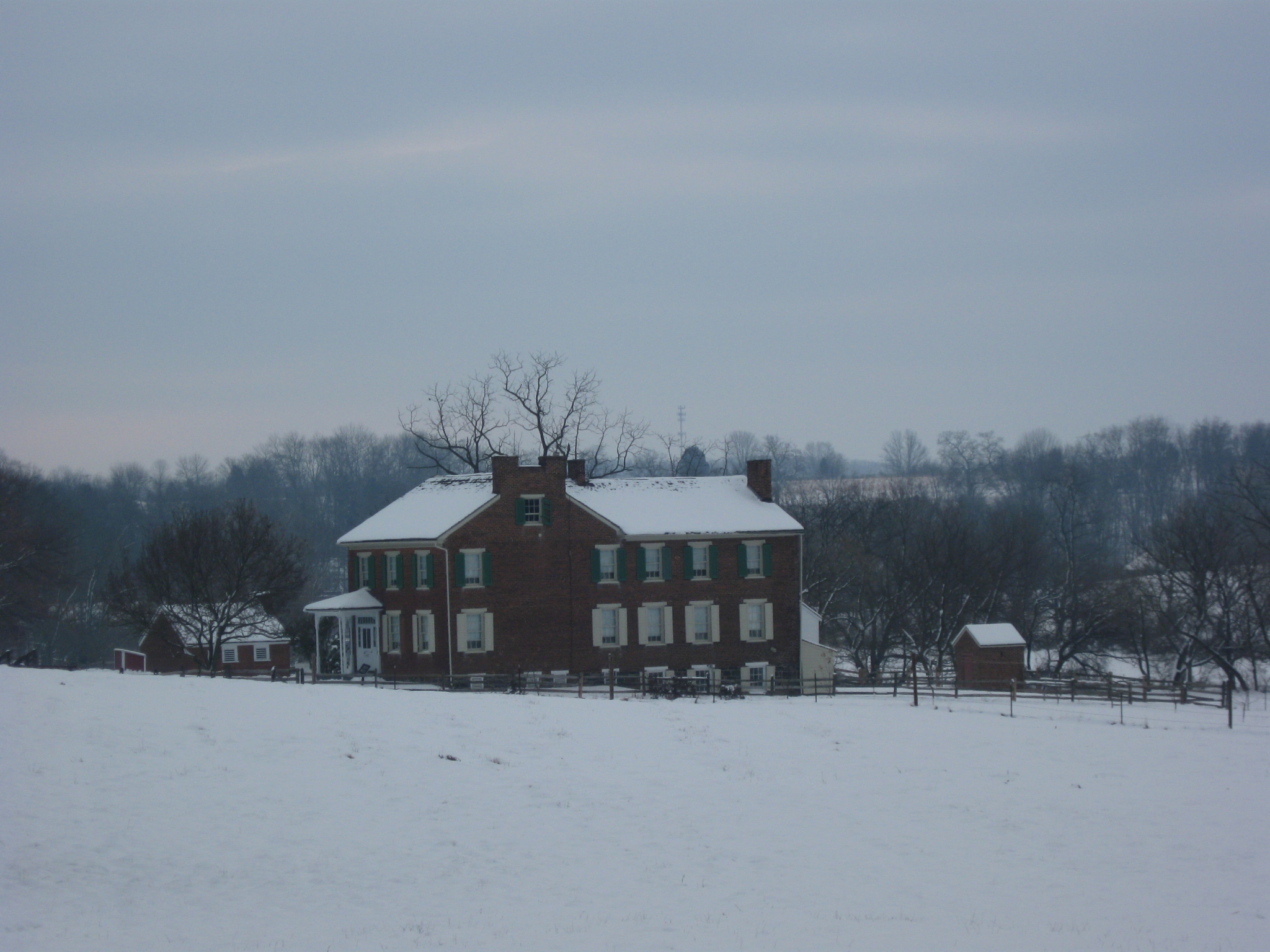
The Henry Culp House with Benner’s Hill in the background. This view was taken facing east at approximately 9:00 AM on Sunday, January 30, 2011.
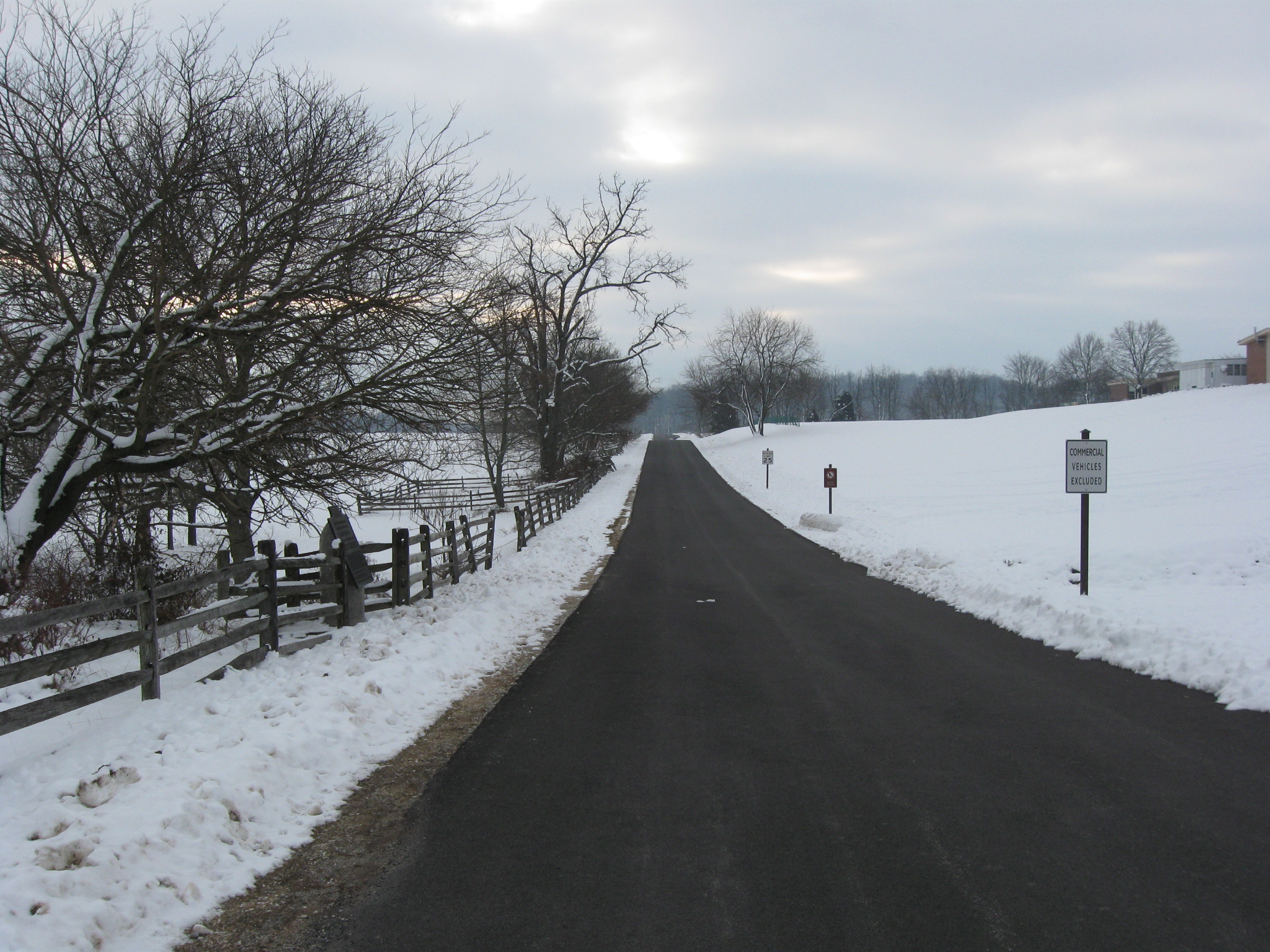
We’ll walk down East Confederate Avenue, which was still closed for some reason on this Sunday morning. We’ll get off the avenue at places where we think Rock Creek is within “striking distance.” This view was taken facing southeast at approximately 9:00 AM on Sunday, January 30, 2011.

Winebrenner Run flows across the Culp Farm to Rock Creek. The Culp buildings are in the left background. This view was taken facing east at approximately 9:00 AM on Sunday, January 30, 2011.

On the way to Rock Creek we’ll try not to get too distracted by taking “artsy” shots such as of the fence on the east side of East Confederate Avenue with the geese flying above it and Culp’s Hill in the right background… This view was taken facing southeast at approximately 9:00 AM on Sunday, January 30, 2011.
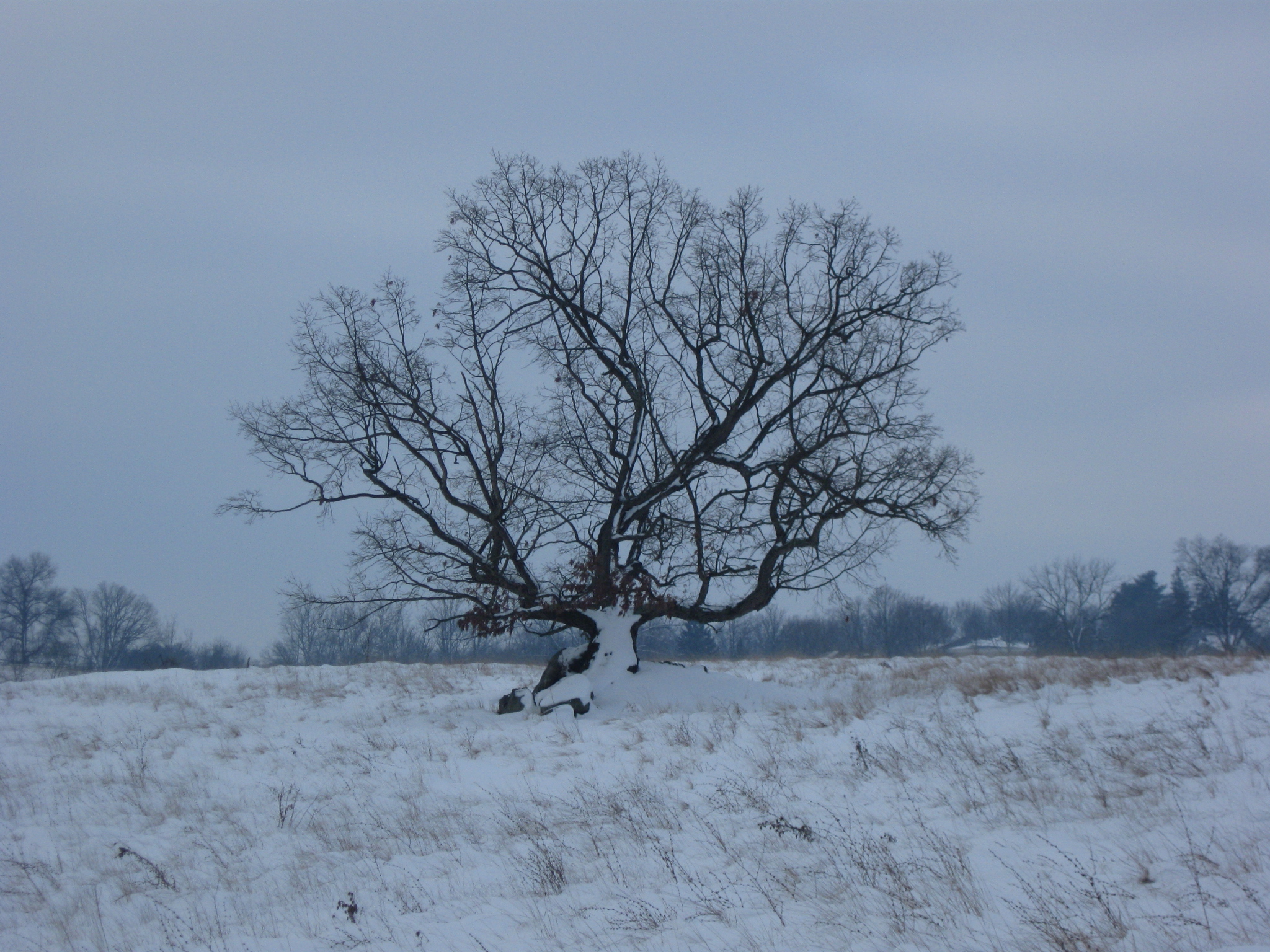
…or of this tree on the west side of East Confederate Avenue. This view was taken facing southwest at approximately 9:00 AM on Sunday, January 30, 2011.
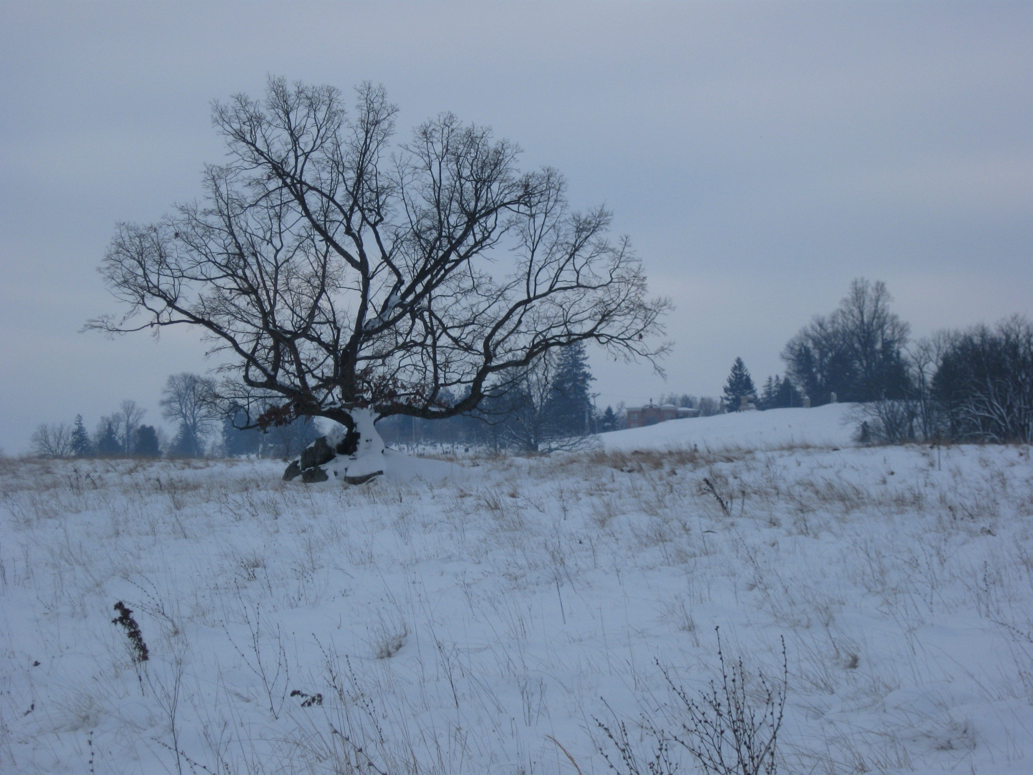
The same tree showing the red brick Evergreen Cemetery Gatehouse in the right background. This view was taken facing southwest at approximately 9:00 AM on Sunday, January 30, 2011.

As we approach Culp’s Hill, the observation tower is clearly visible in the right background. This view was taken facing south at approximately 9:00 AM on Sunday, January 30, 2010.
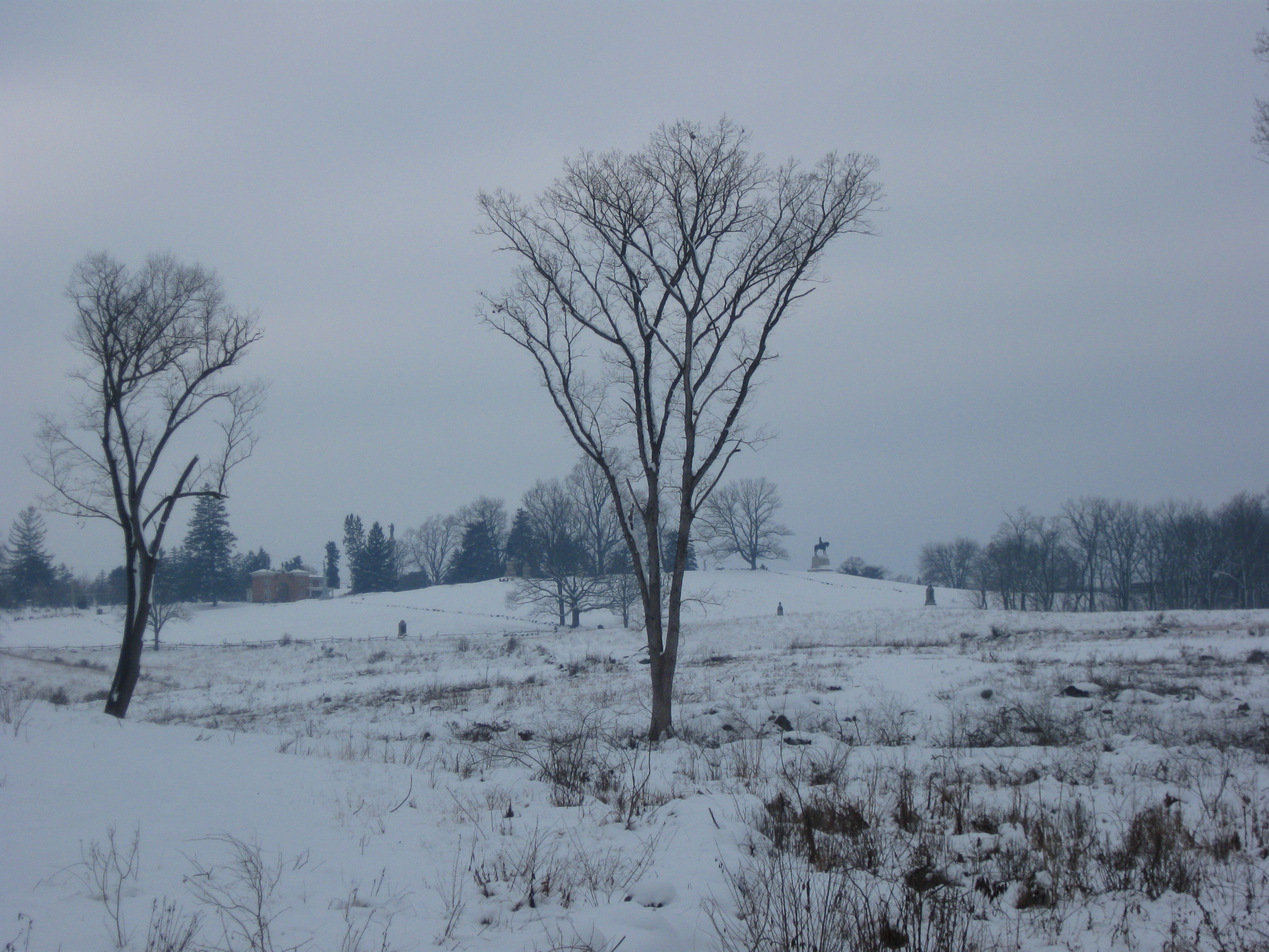
Another view of East Cemetery Hill with the Evergreen Cemetery Gatehouse in the left background and the Howard equestrian statue in the right background. This view was taken facing west at approximately 9:00 AM on Sunday, January 30, 2011.

We’ll try to make it easy for you to figure out where we left East Confederate Avenue to walk down to Rock Creek. Here we’ll go behind the plaque for Nicholls’ Louisiana Brigade. This view was taken facing east at approximately 9:00 AM on Sunday, January 30, 2011.

Behind the Nicholls’ plaque Rock Creek is no longer frozen. This view was taken facing north at approximately 9:00 AM on Sunday, January 30, 2011.

On a 1766 survey map of this area for the William Penn family, it was labeled as Rock Run. This view was taken facing north at approximately 9:00 AM on Sunday, January 30, 2011.
Although there were no known early Native American settlements, it is believed that Rock Creek was used as a fishing and hunting area by several tribes. This view was taken facing south at approximately 9:00 AM on Sunday, January 30, 2011.

Spear points and arrow heads have been found along the creek. This view was taken facing south at approximately 9:00 AM on Sunday, January 30, 2011.
In Video #1 We give you the sound of Rock Creek flowing by the camera. This view was taken facing north to south at approximately 9:00 AM on Sunday, January 30, 2011.

We’ve now moved a little farther south along the creek. This view was taken facing north at approximately 9:00 AM on Sunday, January 30, 2011.
The many trees blocking the stream are one of the reasons that Rock Creek is not frequented by canoes or kayaks. This view was taken facing south at approximately 9:00 AM on Sunday, January 30, 2011.
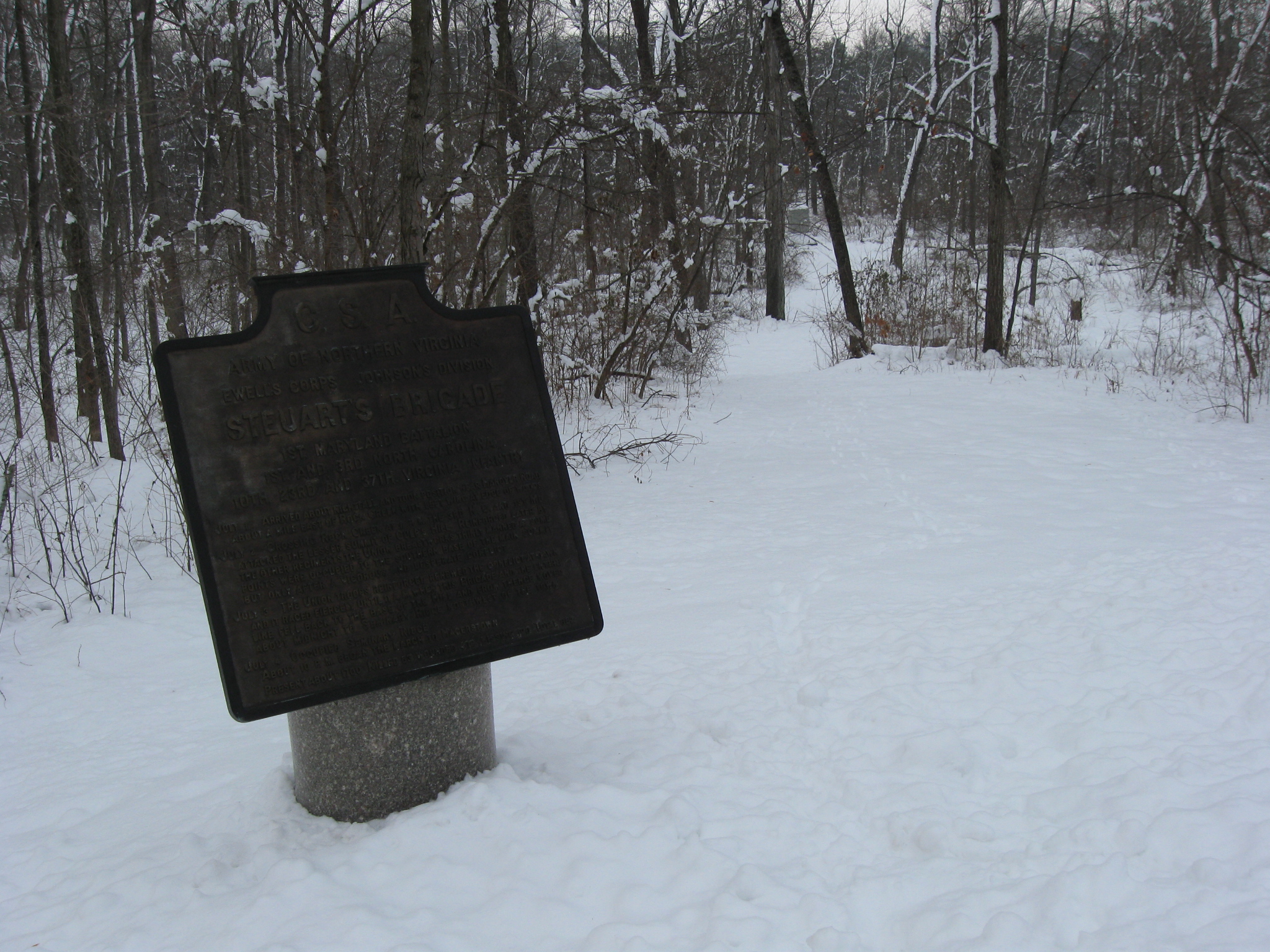
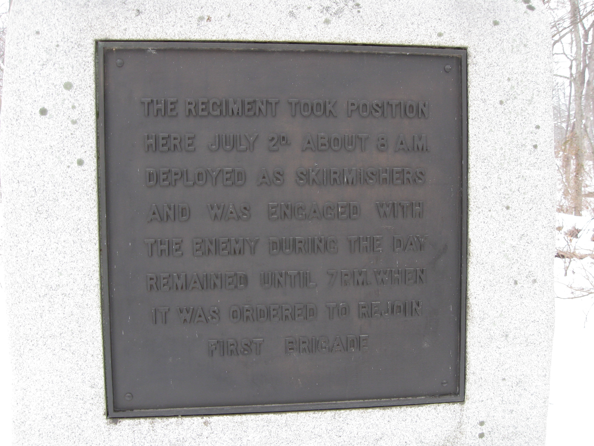
We’ve now moved farther south on East Confederate Avenue, and we’ll take the path behind the Steuart’s Brigade plaque to the monument for the 28th Pennsylvania, which is seen in the background near the end of the path. This view was taken facing east at approximately 9:00 AM on Sunday, January 30, 2011.
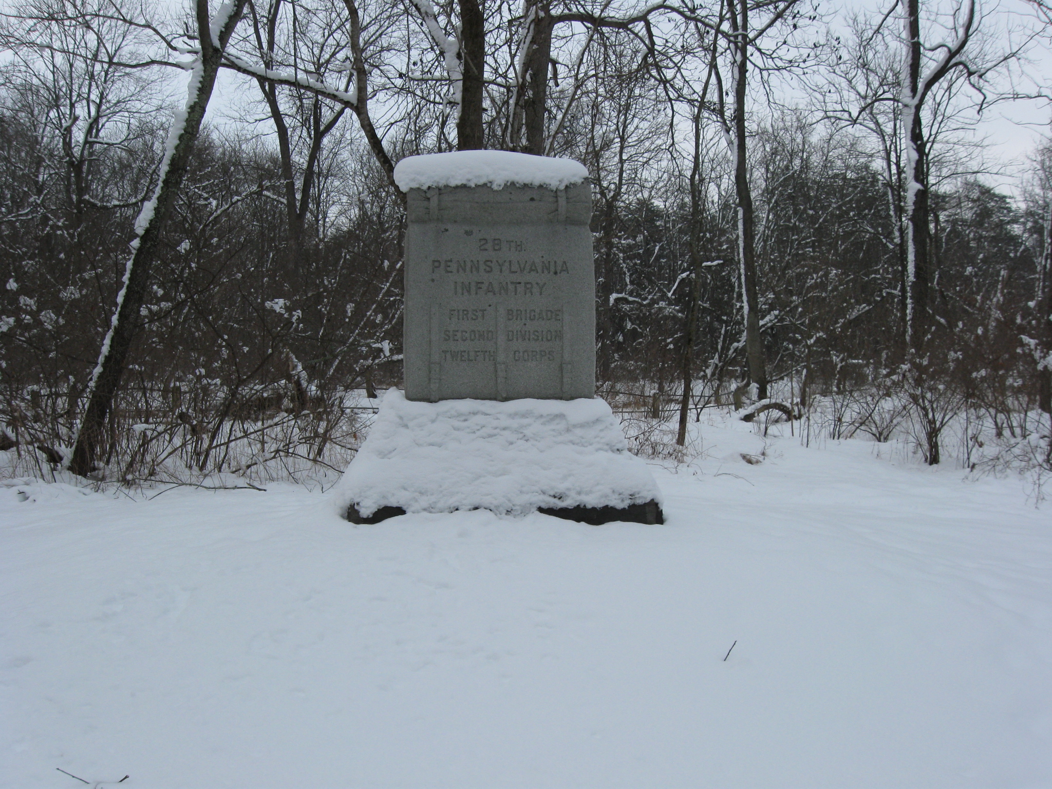
The 28th Pennsylvania was placed along the creek as skirmishers on July 2, 1863. This view was taken facing east at approximately 9:00 AM on Sunday, January 30, 2011.
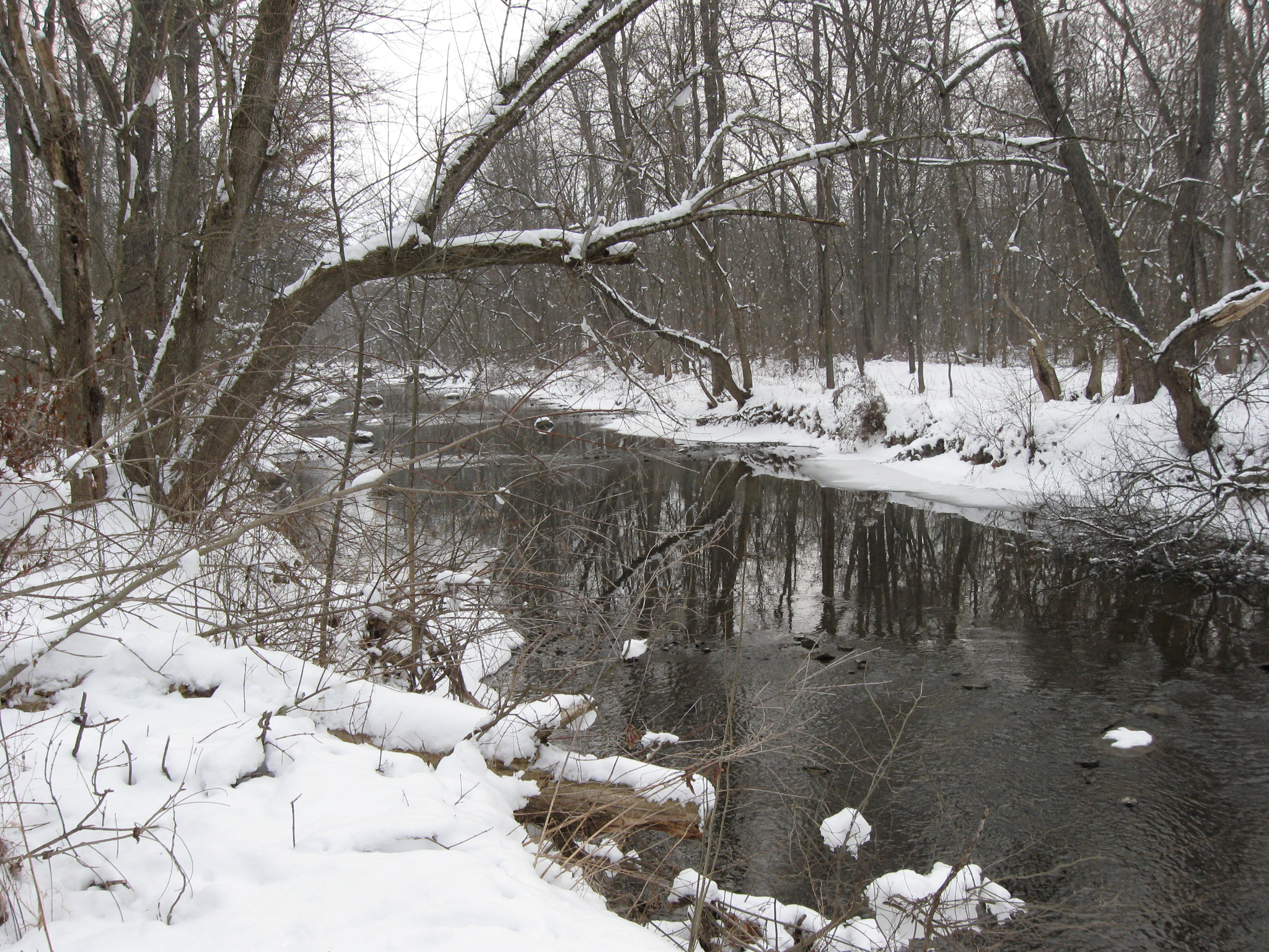
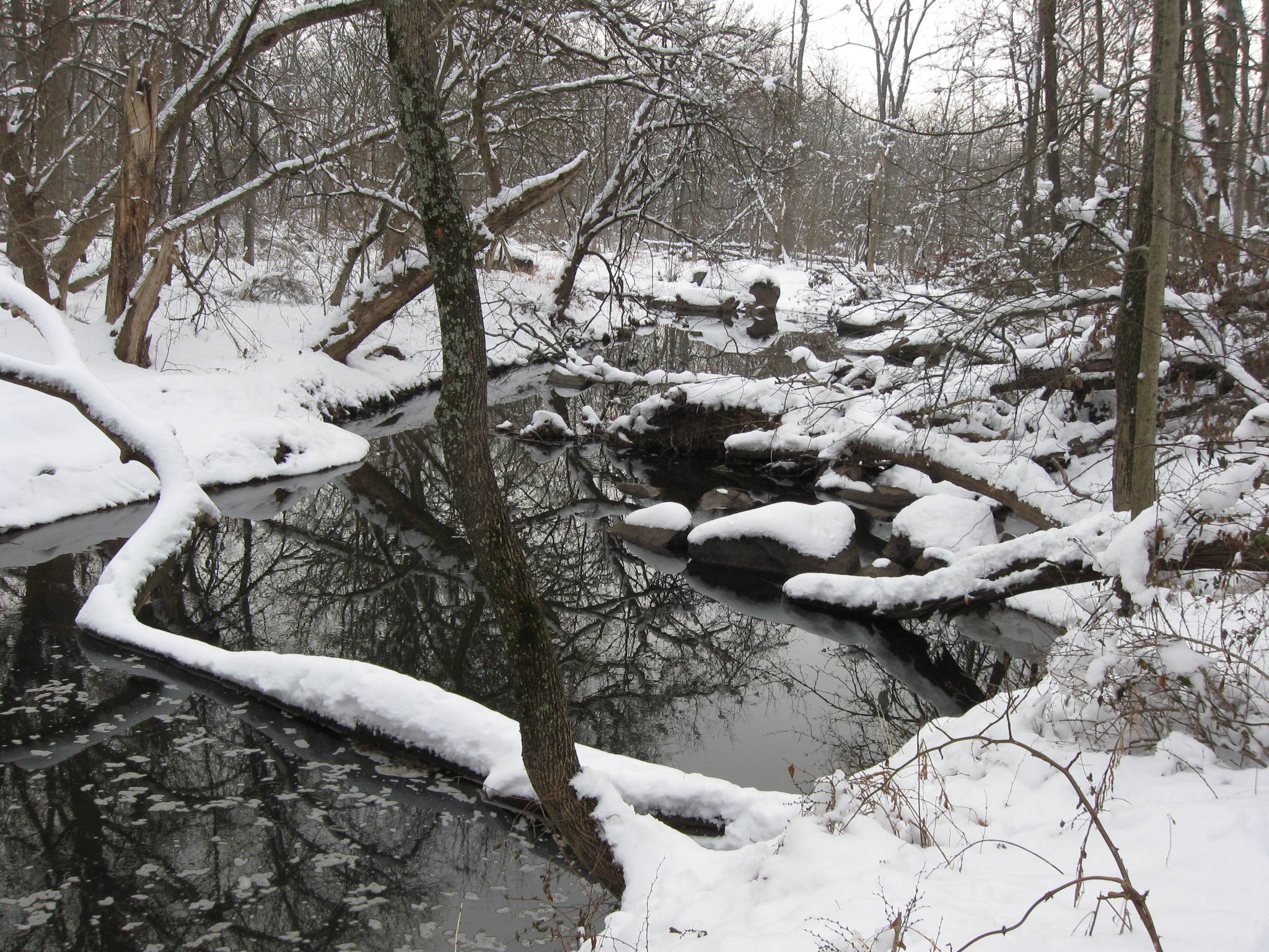
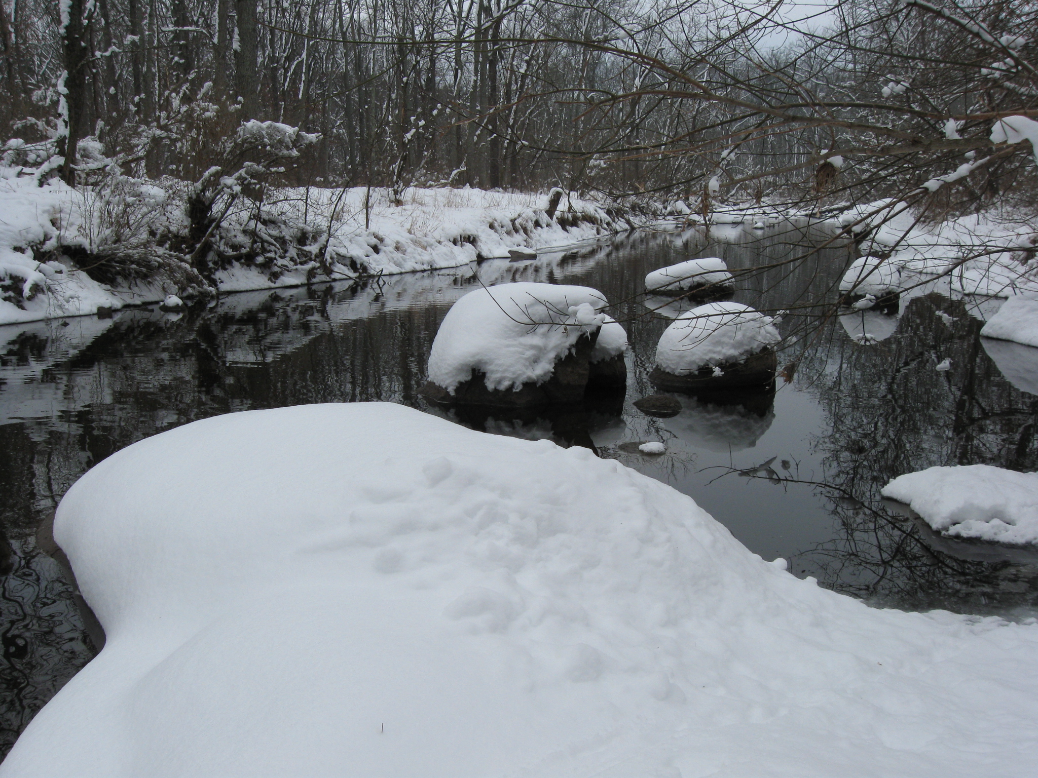
Here the creek is much wider than behind the Nicholls’ Brigade plaque. This view was taken facing north at approximately 9:00 AM on Sunday, January 30, 2011.

More rocks are also showing up in the middle of the creek. This view was taken facing southeast at approximately 9:00 AM on Sunday, January 30, 2011.

We’ve moved a little farther to the south. This view was taken facing northeast at approximately 9:00 AM on Sunday, January 30, 2011.

Rock Creek acquired its name from these large diabase boulders, known locally as Gettysburg Granite. This view was taken facing southeast at approximately 9:00 AM on Sunday, January 30, 2011.
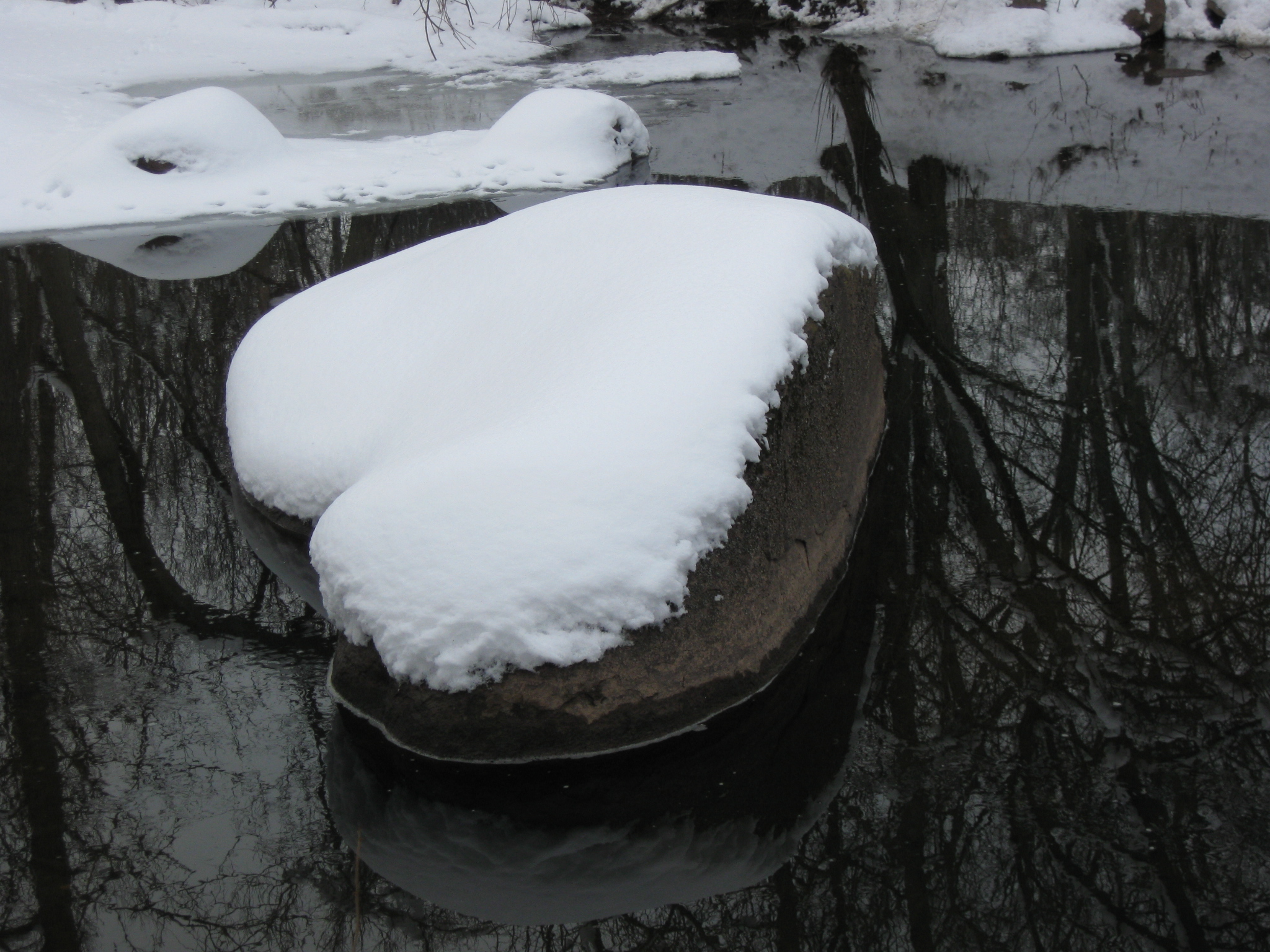
Geologists believe that the boulders were formed in the Triassic Period when molten rock was forced into the cracks of the existing shale and sandstone. This view was taken facing east at approximately 9:00 AM on Sunday, January 30, 2011.

When the 28th Pennsylvania was withdrawn from here in the late afternoon/early evening of July 2, 1863… This view was taken facing west at approximately 9:00 AM on Sunday, January 30, 2011.
… the Confederates believed that the Union line was weakening and splashed across the creek as they prepared to assault Culp’s Hill. This view was taken facing west at approximately 9:00 AM on Sunday, January 30, 2011.
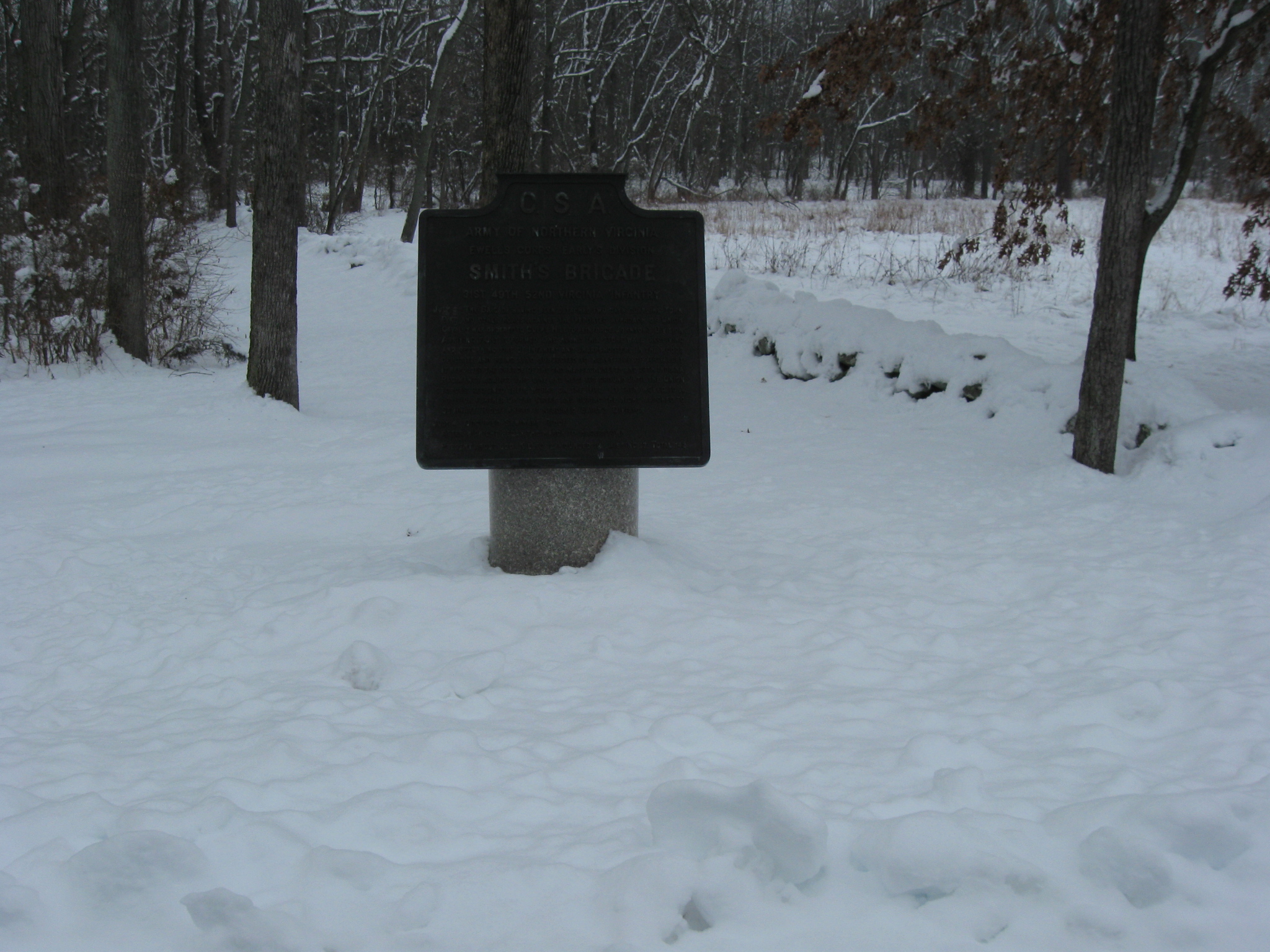
We’ve now reached the Smith Brigade plaque near Spangler’s Meadow. This view was taken facing east at approximately 9:00 AM on Sunday, January 30, 2011.

We’ll follow the snow hidden stone wall that separates Culp property on this side of the wall from Spangler property on the right (south) side of the wall. This view was taken facing east at approximately 9:00 AM on Sunday, January 30, 2011.

We have shown you this view a couple of times before as we tracked the tree cutting around Spangler’s Spring. The trees on the left are part of McAllister’s Woods. Powers Hill is visible in the left background. This view was taken facing southwest at approximately 9:00 AM on Sunday, January 30, 2011.

Rock Creek is narrow in the background and begins to widen here. This view was taken facing north at approximately 9:00 AM on Sunday, January 30, 2011.
More rocks are present. We’ll climb out on the snow covered rock sticking out in the water for our next shot. This view was taken facing south at approximately 9:00 AM on Sunday, January 30, 2011.

This view was taken facing south at approximately 9:00 AM on Sunday, January 30, 2011.
In Video #2 We give you more sounds of Rock Creek on a peaceful Sunday morning. This view was taken facing north to south to north at approximately 9:00 AM on Sunday, January 30, 2011.

We’re now in McAllister’s Woods. The monument to the 13th New Jersey Infantry Regiment is on the right. We’ll continue to walk around the curve… This view was taken facing northwest at approximately 9:00 AM on Sunday, January 30, 2011.
…until we get to the area of the right flank marker for the 13th New Jersey. This view was taken facing east at approximately 9:00 AM on Sunday, January 30, 2011.
Now the 13th New Jersey right flank marker is in the left background. The easiest way to access the creek here is to go to the right of the big rocks. Wolf’s Hill is in the background. This view was taken facing northeast at approximately 9:00 AM on Sunday, January 30, 2011.

Down here the stream is wide, and as there was with our first pictures along the Hanover Road, there is a layer of ice on the top. This view was taken facing north at approximately 9:00 AM on Sunday, January 30, 2011.

How thick is the ice? This view was taken facing northeast at approximately 9:00 AM on Sunday, January 30, 2011.
Thick enough for an animal to walk along it at some point. This view was taken facing east at approximately 9:00 AM on Sunday, January 30, 2011.

It appears that the tracks belonged to a fairly large dog. This view was taken facing southwest at approximately 9:00 AM on Sunday, January 30, 2011.

The top of the creek is still frozen in the direction of the Baltimore Pike. This view was taken facing south at approximately 9:00 AM on Sunday, January 30, 2011.