
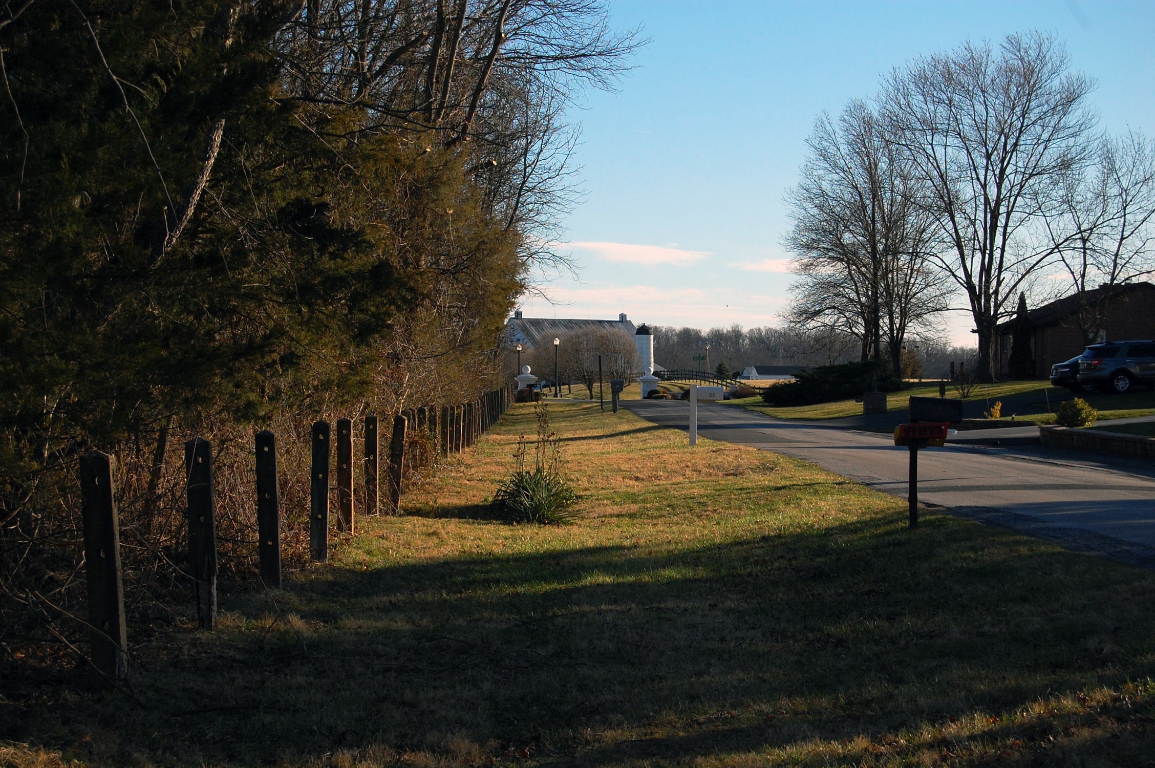
The National Park Service recently removed piping from an older era along the park’s western boundary at McMillan Woods and Redding Ln.The privatley owned Brown’s Ranch, A.P. Hill’s headquarters during the battle, sits at the end of the road (barn/silo). This view was taken facing south at approximately 4:45 PM on Tuesday, March 7, 2017.
The fence-line where the pipes were removed is marked by a dark blue line.This map was created Monday, March 13, 2017 in a chair facing east.
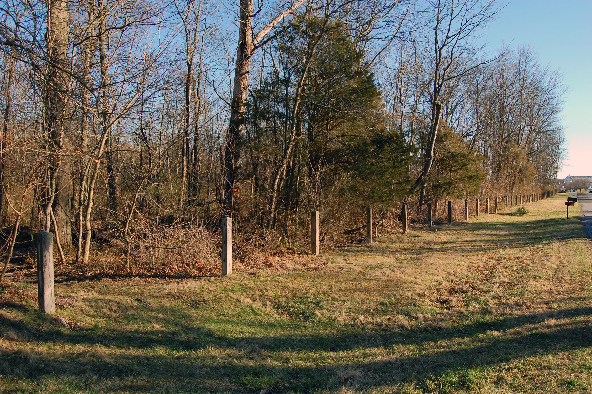
The pipes in this area were rusted and broken in many sections. This view was taken facing southeast at approximately 4:45 PM on Tuesday, March 7, 2017.
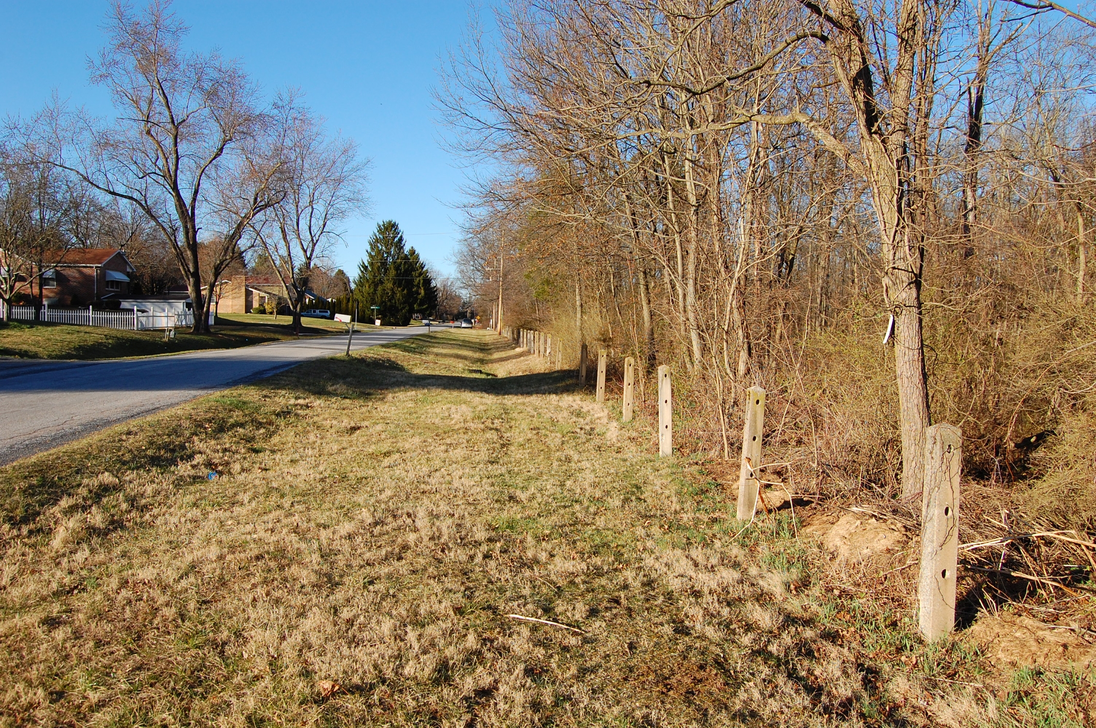
A resident we spoke with who lives along Redding Ln (left) said that kids were often playing around the fence and that the broken/rusted sections were dangerous.This view was taken facing north at approximately 4:45 PM on Tuesday, March 7, 2017.
In 1932 the park counted 15 miles of pipe fencing on the battlefield (also known as pipe-rail or pipe-post fencing). At the time, the “rail” or “post” portion of the fencing was made out of wood.We’ll cover this more in a later post about the history of boundary and avenue fencing within the park. This view was taken facing east at approximately 4:45 PM on Tuesday, March 7, 2017.
The wooden fencing was damaged by chestnut blight and weathering, most of it having been installed around 1895. Here’s a picture of this fence before the pipes were removed.This view was taken facing east and is courtesy of Alan Leeti.

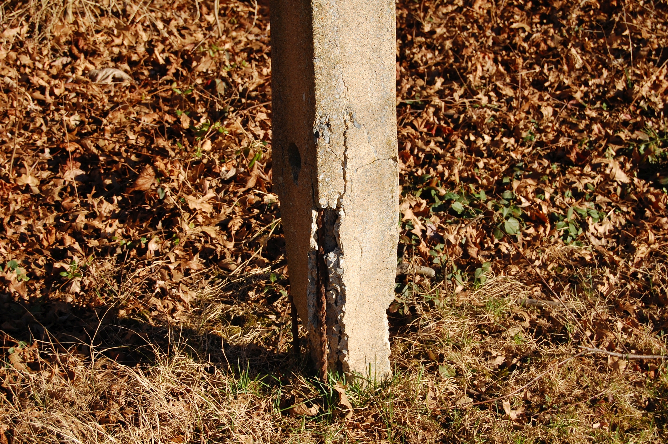
The Civilian Conservation Corps was in charge of replacing the wooden posts with concrete ones.This view was taken facing northeast at approximately 4:45 PM on Tuesday, March 7, 2017.

A drawing of the concrete-pipe design.This drawing courtesy of Historic American Engineering Record, National Park Service, by Nicki Yung, 1998 [PA-485 LOC].
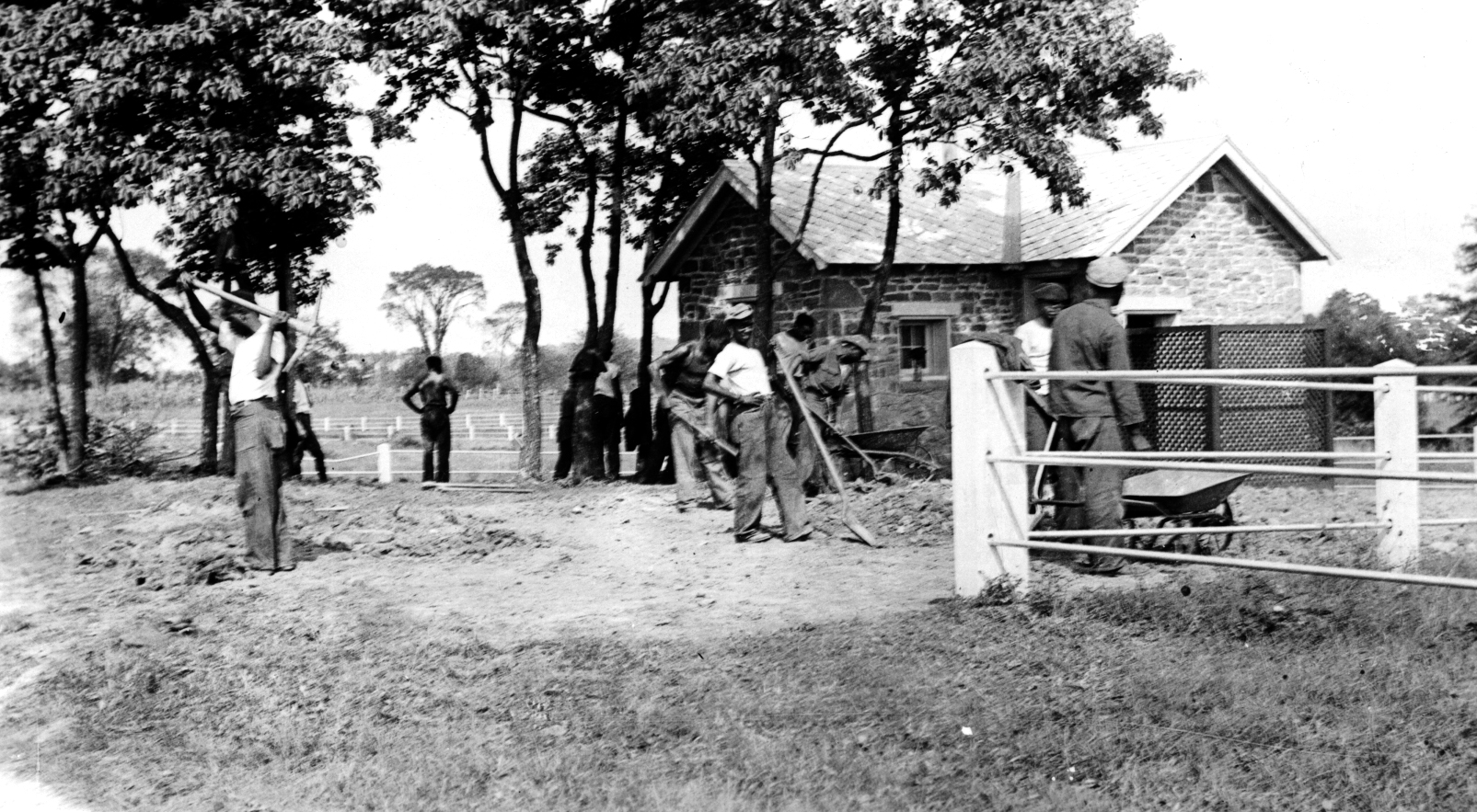
Here are CCC members working the landscape around the comfort station at the Pennsylvania Memorial. Notice the concrete post-pipe fencing in the right foreground and left background.This photo was used on the cover of Jennifer Murray’s book, “On a Great Battlefield: The Making, Management, and Memory of Gettysburg National Military Park, 1933-2013.” This view was taken facing northeast by NPS Ranger Frederick Tilberg in 1936.
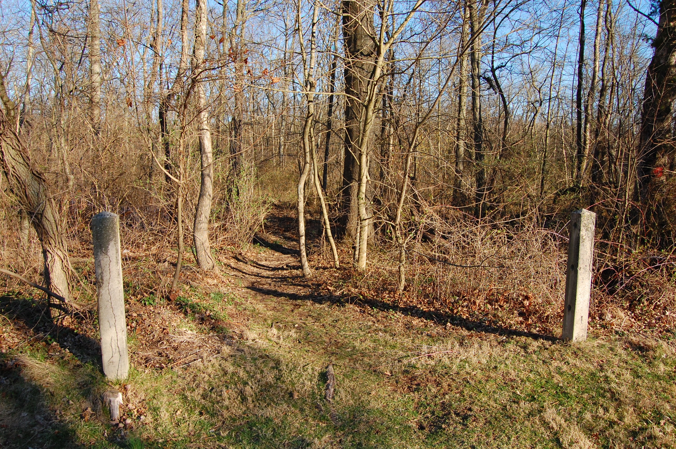
The National Park Service told us they’re going to leave the posts along Redding Ln to continue to mark the NPS boundary. Let’s follow the trail into McMillan Woods.This view was taken facing east at approximately 4:45 PM on Tuesday, March 7, 2017.

The trail is used by the boy scouts who frequent the campground ahead and by residents who live in the community near Redding Ln. Watch your step.This view was taken facing east at approximately 4:45 PM on Tuesday, March 7, 2017.
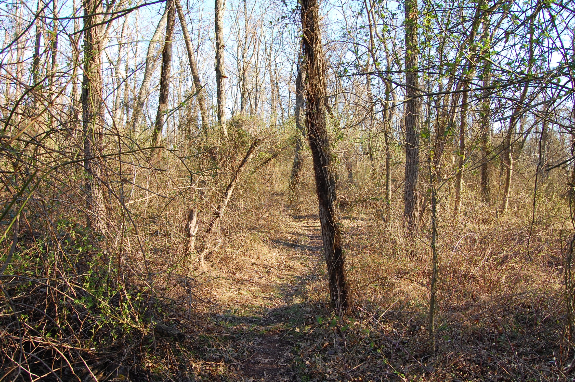
The brush/undergrowth typical of most parts of the battlefield is obvious even when vegetation has only started to bloom. Even without the bit of green here, it’s tough to see very far through these woods.This view was taken facing east at approximately 4:45 PM on Tuesday, March 7, 2017.
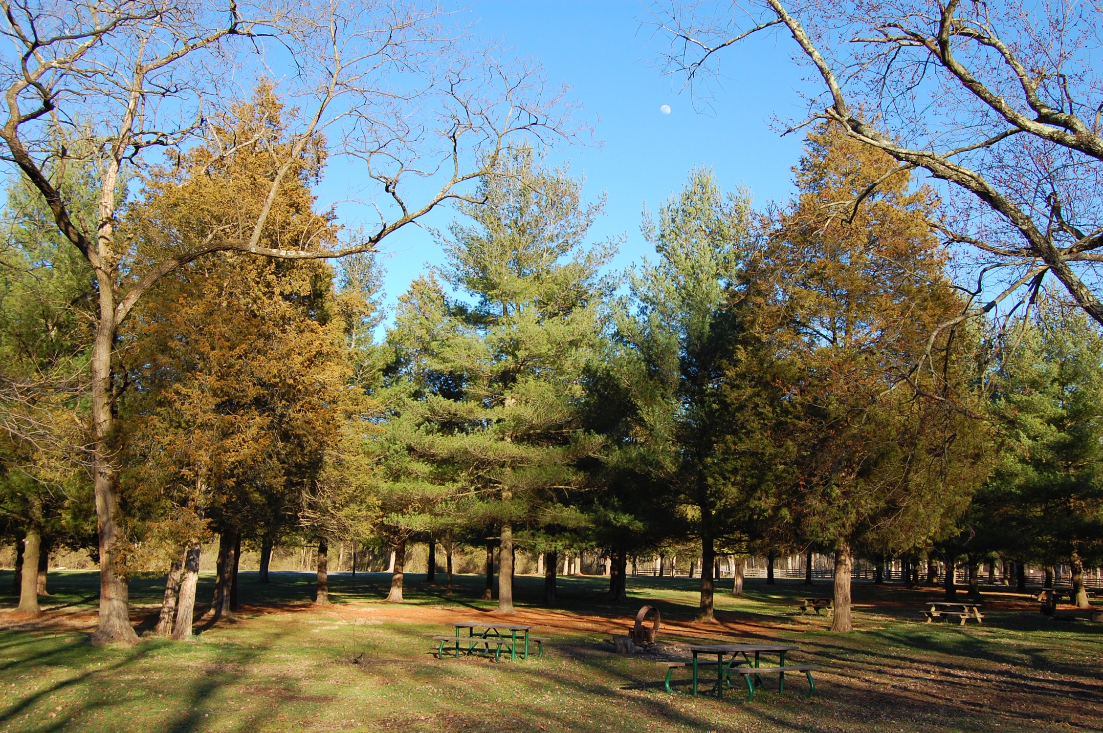
The McMillan Woods Youth Campground. Expect this area to see modifications when the National Park Service reveals their Trails Plan this year.This view was taken facing east at approximately 4:45 PM on Tuesday, March 7, 2017.
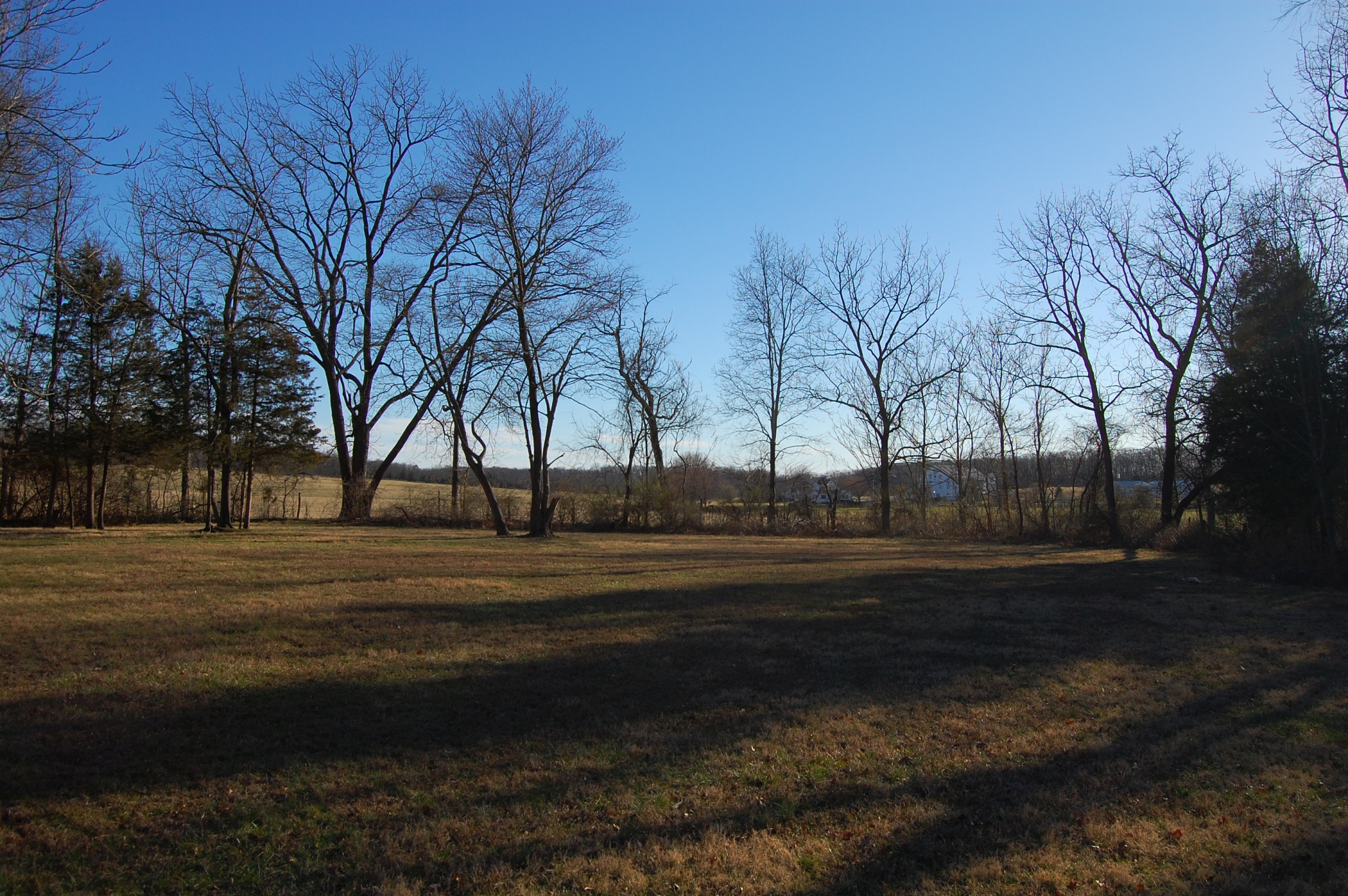
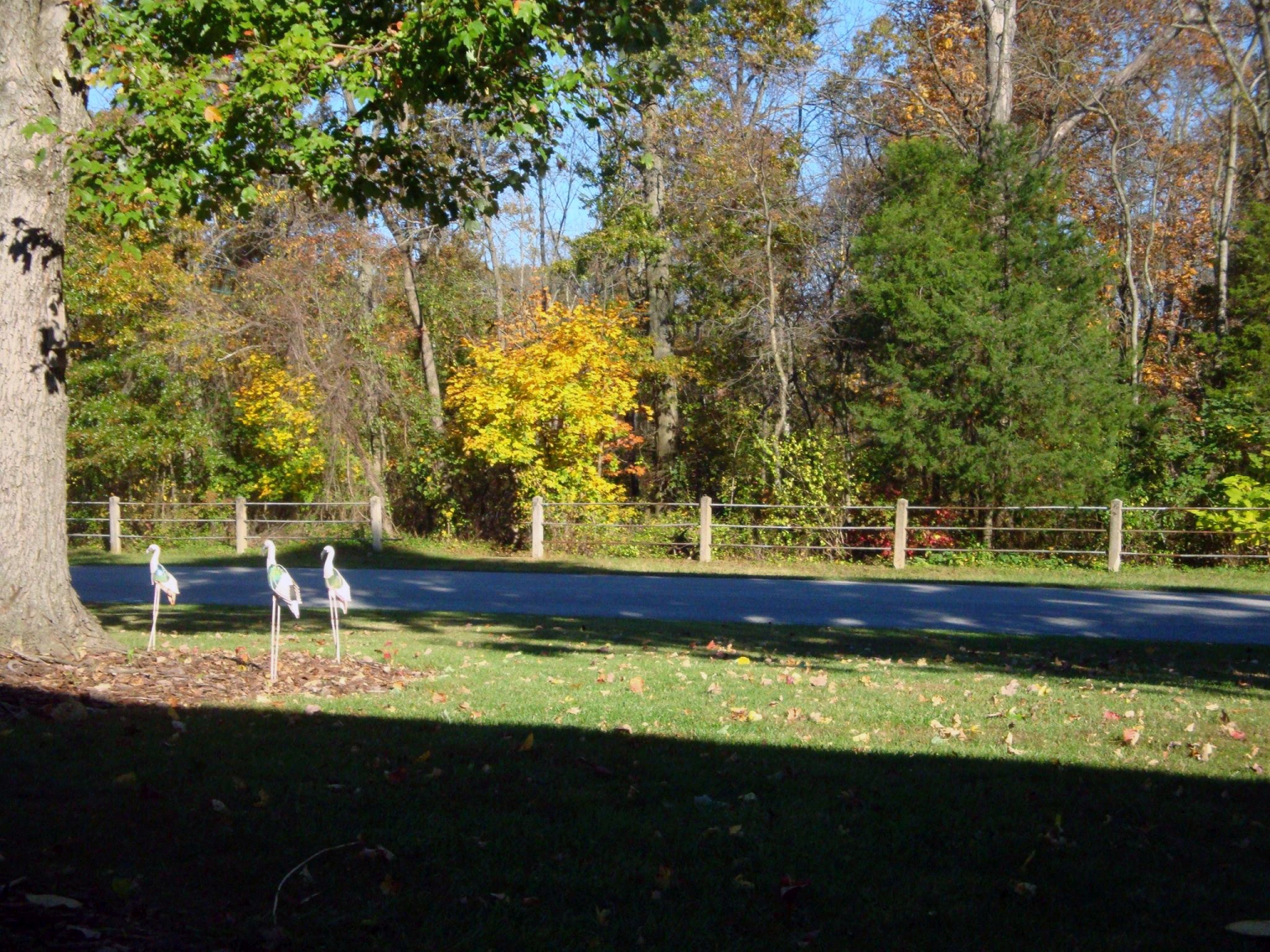
We’ll walk to the southern end of the campground to look out over the property of Brown’s Ranch.This view was taken facing south at approximately 4:45 PM on Tuesday, March 7, 2017.

The fenceline in the distance marks the start of park property on Seminary Ridge (you can see people walking along West Confederate Avenue). The privately owned ranch property is in the foreground.This view was taken facing east at approximately 4:45 PM on Tuesday, March 7, 2017.
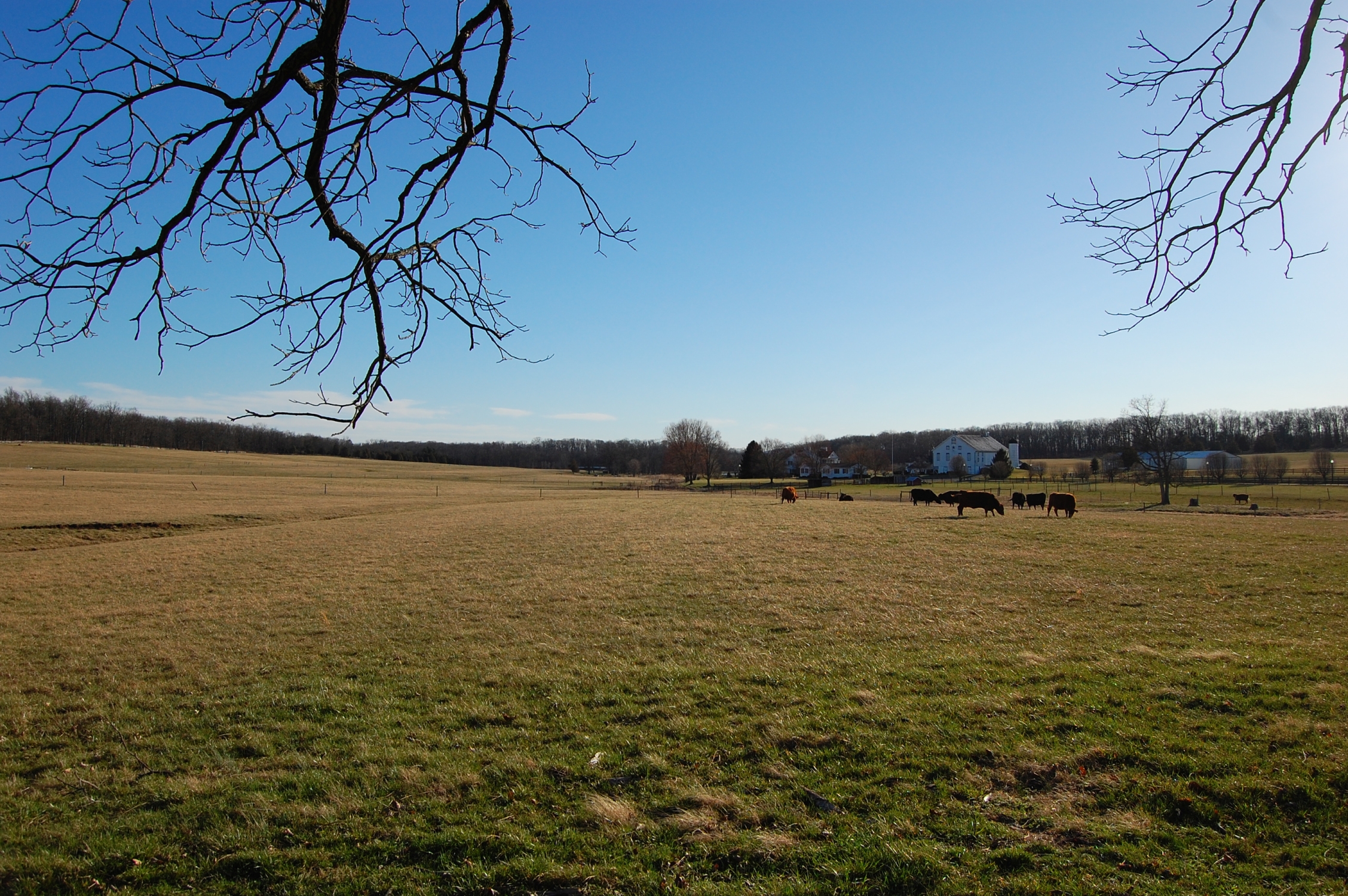
A.P. Hill would have had his headquarters in a farmhouse on the property (the buildings in this photograph were built in 1970). The ranch changed hands last fall and will remain a ranch. To a few of the residents we spoke with this was good news: They don’t want to see the property sold and turned into another subdivision.This view was taken facing south at approximately 4:45 PM on Tuesday, March 7, 2017.