This work plan shows the area of Powers Hill in Gettysburg National Military Park and the plans for tree removal in this area. The green lines are the accessways onto the hill for clearing equipment. This document was created in December of 2010 and is courtesy of the National Park Service.
As part of the National Park Service’s efforts to return the Gettysburg Battlefield closer to its 1863 appearance, contractors have begun to clear trees from Powers Hill. Powers Hill is located in an area between the Baltimore Pike, Blacksmith Shop Road, and Granite School House Lane. It was known during the battle as a Union artillery position, as the headquarters of the Twelfth Corps commander Major General Henry Slocum, and as the temporary headquarters of Army of the Potomac commander Major General George Gordon Meade. Meade moved his headquarters from the Leister House to this Powers Hill during the bombardment preceding Pickett’s Charge. He returned to Cemetery Ridge after Pickett’s Charge had been repulsed.
This painting titled General View of the Union Lines on the Morning of July 3, 10 AM, During the Attack of Johnston’s Div. C.S.A. by the artist Edwin Forbes provides evidence of what this area looked like in 1863. The National Park Service has used it to help determine that trees should be left intact on the left/southwestern side of the hill’s slope. This painting and the sketch it is based upon were featured in our first update on this project. This view, courtesy of the Library of Congress, was painted between 1865 and 1895 from a drawing facing northeast at approximately 10:00 AM on Friday, July 3, 1863.
We are standing on the Blacksmith Shop Road looking towards the Baltimore Pike. This view was taken facing north at approximately 2:00 PM on Wednesday, August 3, 2011.
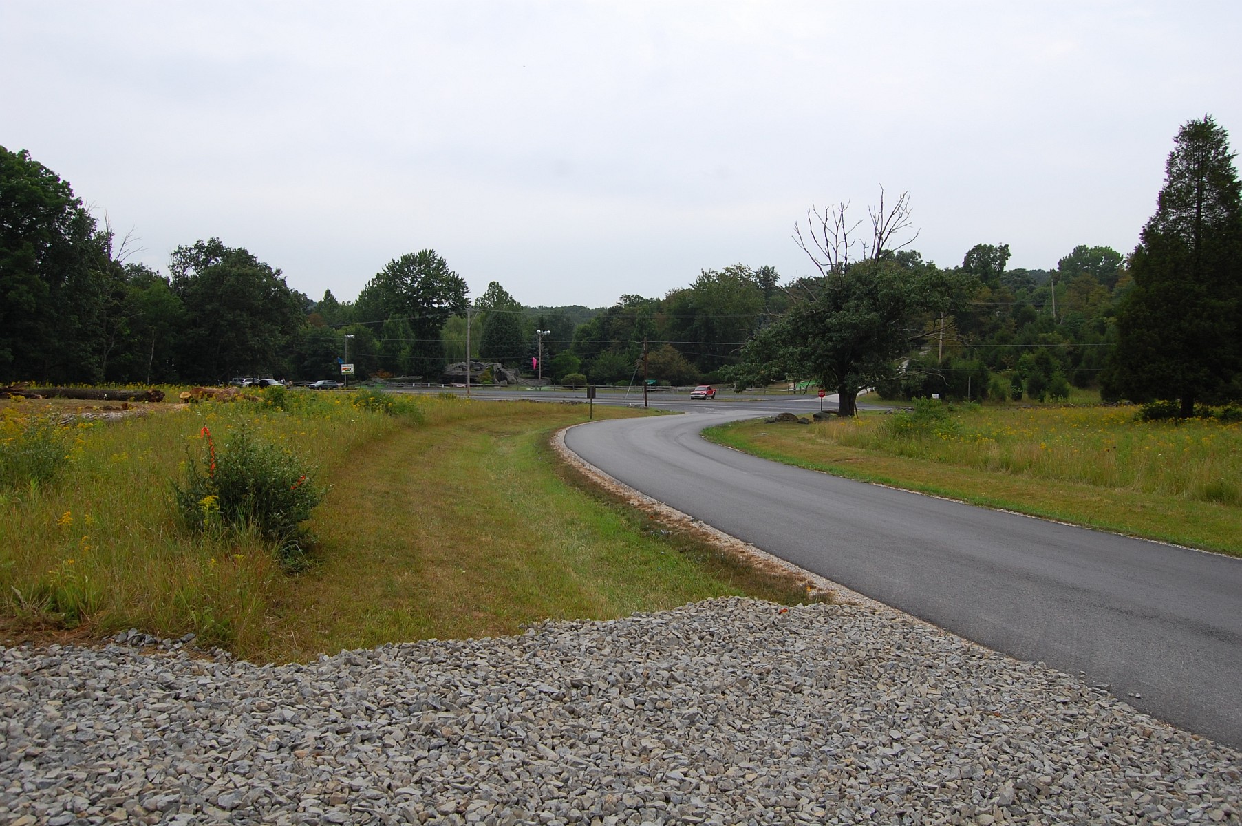
This stone has been built up to allow contractors to enter the cleared area (marked as a neon green square in the first image of this post) behind the camera position. This view was taken facing east at approximately 2:00 PM on Wednesday, August 3, 2011.
This is the “staging area” for the contractors. Consideration was given to using the newly acquired Shealer property, but the National Park Service was concerned about the integrity of a stone wall there. This view was taken facing northwest at approximately 2:00 PM on Wednesday, August 3, 2011.
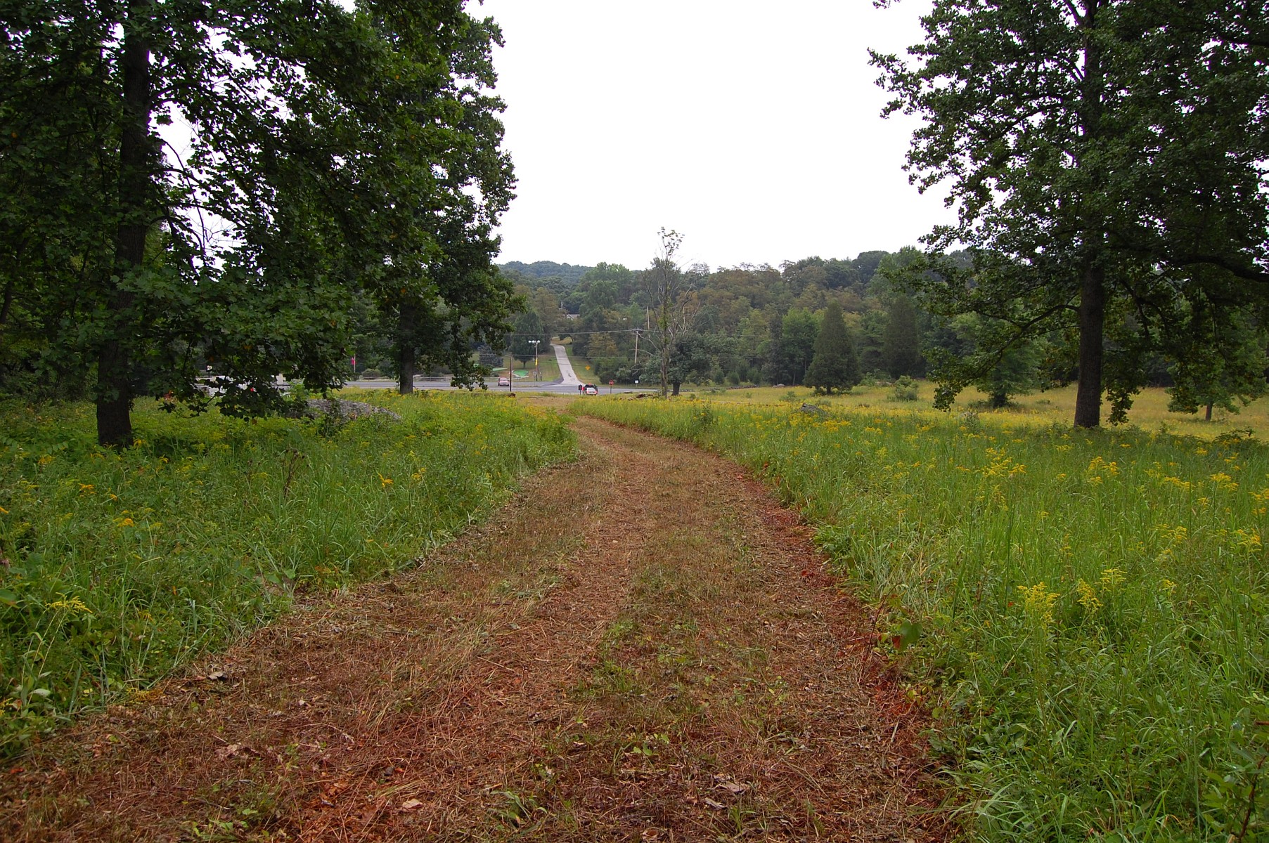
We’ll follow this accessway and take a look at one of the first of two necessary breaches in the stone walls made for this project. This view was facing southwest at approximately 2:00 PM on Wednesday, August 3, 2011.
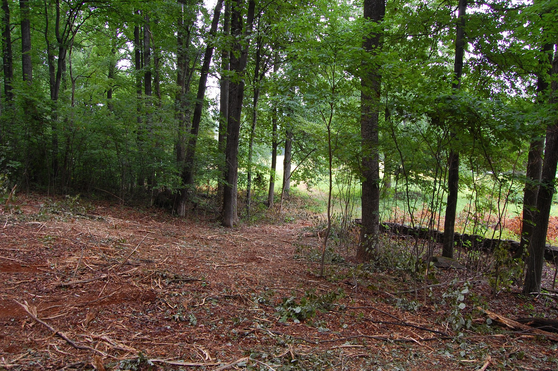
We’re now looking back towards the Baltimore Pike and the staging area. There is a fair amount of vegetation along this portion of the hill. This view was facing northeast at approximately 2:00 PM on Wednesday, August 3, 2011.
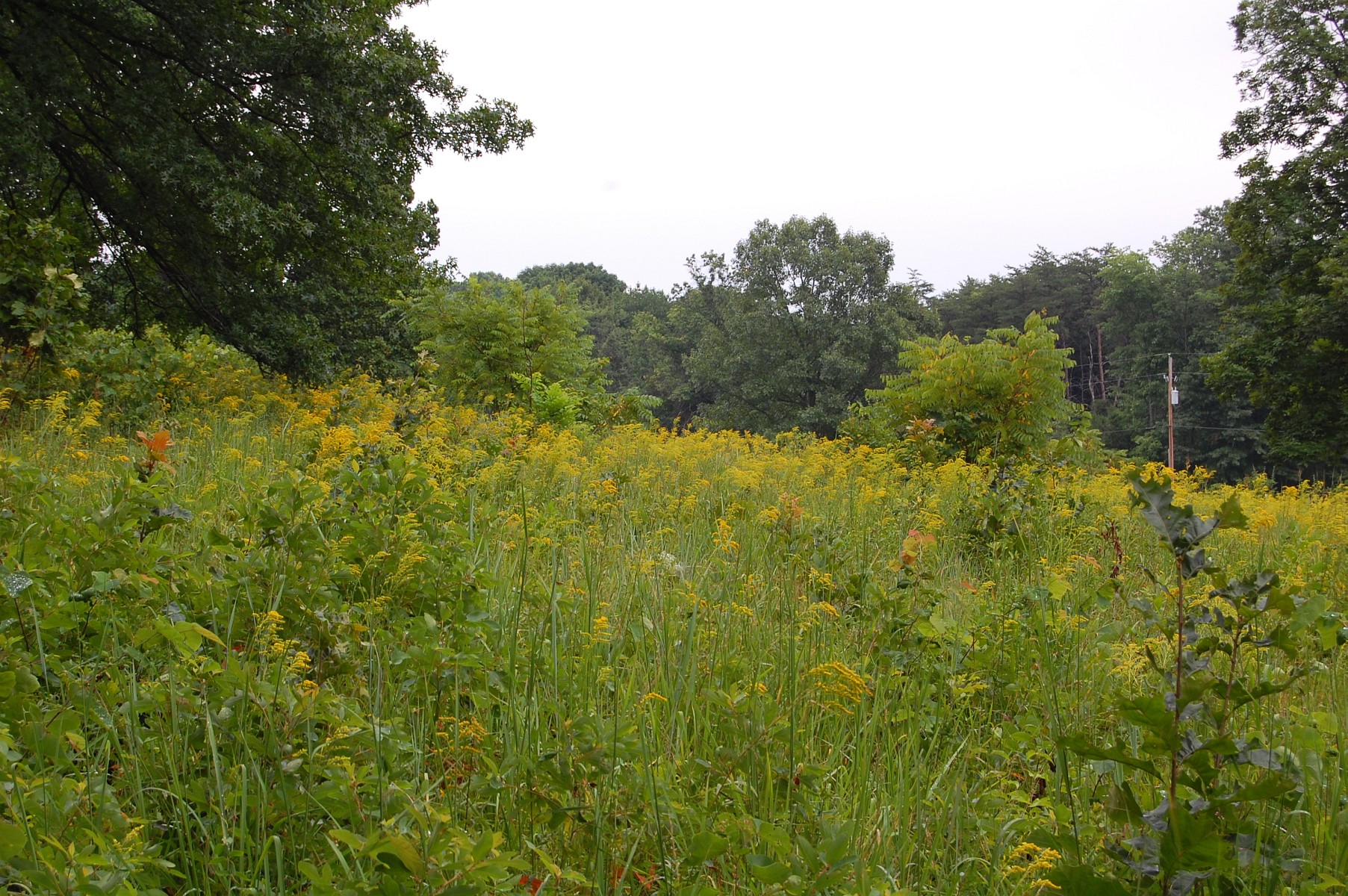
One of the challenges that the National Park Service faces is that vegetation and undergrowth sprouts up quickly, and is not always easy to maintain while balancing other important restoration work like tree clearing projects. The Park told us that in 2010 alone “205 acres of invasive plants received initial treatment and 131 acres received retreatment. Target species included Canada thistle, Japanese stilt grass, Japanese honeysuckle, mile-a-minute weed, wisteria, Japanese barberry and multiflora rose. Canada thistle was especially a problem this year with a number of new or greatly expanded infestations discovered and 115.5 acres were treated. Mile-a-minute weed has been a high priority target for several years and persistent yearly treatment of this aggressive weed has resulted in 2 acres of mile-a-minute weed, Polygonum perfoliatum, being successfully brought to maintenance level control.” This view was taken facing east at approximately 2:00 PM on Wednesday, August 3, 2011.
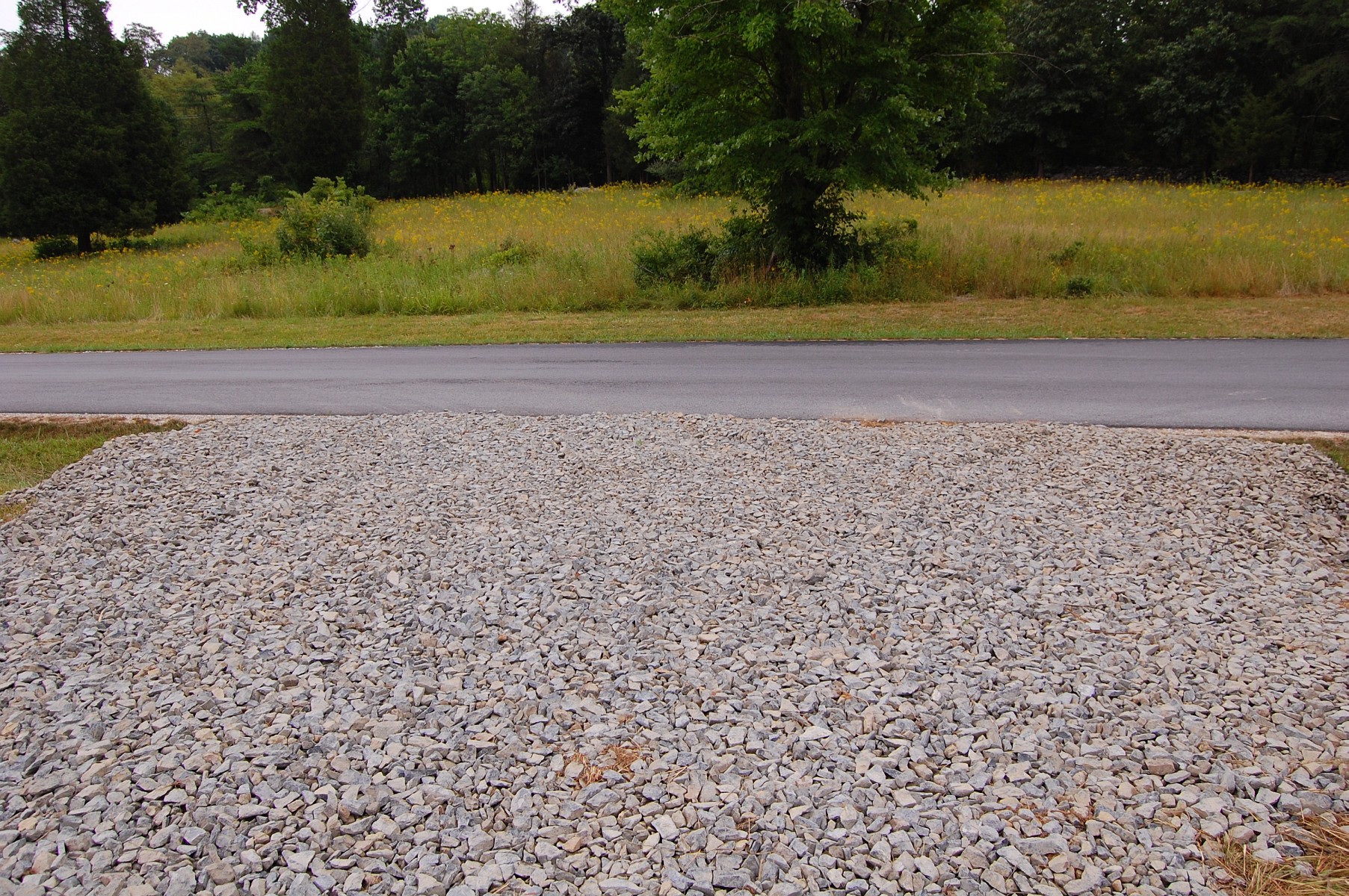
We’ve now moved further along the path and are again looking towards the Baltimore Pike. The breach in the stone wall occurred in the center of this photograph for contractors to access the hill. “The breaching of the stone wall was completed in coordination with the PA State Historic Preservation Office (SHPO). The SHPO has reviewed the project and has determined that the temporary removal of the stone wall to access the area will have a negligible effect on above ground historic resources.” This view was taken facing north at approximately 2:00 PM on Wednesday, August 3, 2011.
We’re excited to see this area cleared of nonhistoric trees and are pleased by the efforts taken by the National Park Service to have their contractors access this area safely and with respect for historic resources. This view was taken facing north at approximately 2:00 PM on Wednesday, August 3, 2011.
We will bring another update from Powers Hill as the project progresses. The monument to Knap’s Battery E of the PA Light Artillery is seen here on Powers Hill with the “do not cut” pink ribbons on trees in the background. Battery A of the 1st Maryland is in the left background. This view was taken facing northwest at approximately 2:00 PM on Wednesday, August 3, 2011.