

The entrance to North Confederate Avenue, from the Mummasburg Road. The marker to Ewell’s Corps of the Army of Northern Virginia is located in the left portion of this shot. This view was taken facing northeast at approximately 2:45 PM on Thursday, February 17, 2011.
Today we’ll be showing you some of the construction and removal photos of North Confederate Avenue, whose route was altered during the construction of the Eternal Light Peace Memorial.
Today the avenue proceeds northeast and then turns to the right … This view was taken facing northeast at approximately 2:45 PM on Thursday, February 17, 2011.

… Where it passes in front of, and provides parking spaces, for visitors to the Eternal Light Peace Memorial. This view was taken facing northeast at approximately 2:45 PM on Thursday, February 17, 2011.
Oak Hill is in the background, with the Peace Light monument noticeably absent. You will notice that North Confederate Avenue runs behind Hardaway’s Alabama Battery (Whitworth Guns). This view was taken facing northeast circa 1937 and is provided courtesy of the Center for Civil War Photography, which has more than 1,000 historic Gettysburg Park images like these on their Flickr.

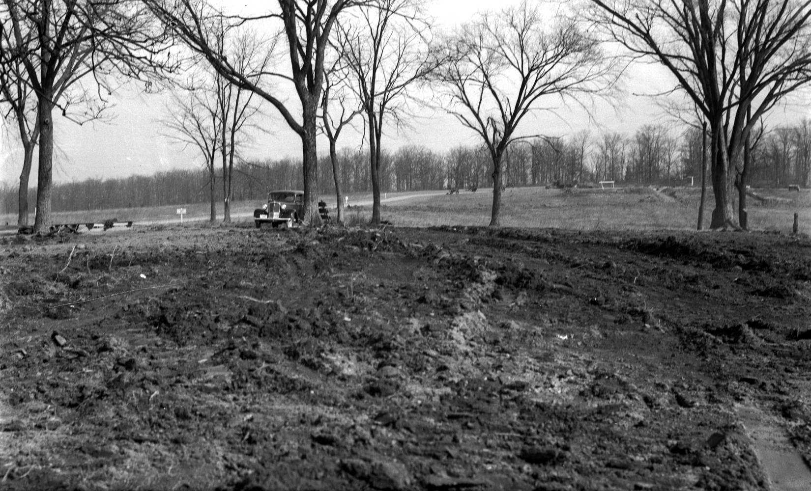
During the removal of the avenue, it can be seen here, unpaved, coming towards the photograph in the center of this shot. This view was taken facing northwest circa 1938 and is courtesy of the Center for Civil War Photography, which has more than 1,000 historic Gettysburg Park images like these on their Flickr.

Like most work completed on the battlefield in the 1930s, the Civilian Conservation Corps camps from Gettysburg had a large hand in constructing walkways and in the removal/rerouting of North Confederate Avenue. This view was taken facing northwest circa 1938 and is courtesy of the Center for Civil War Photography, which has more than 1,000 historic Gettysburg Park images like these on their Flickr.

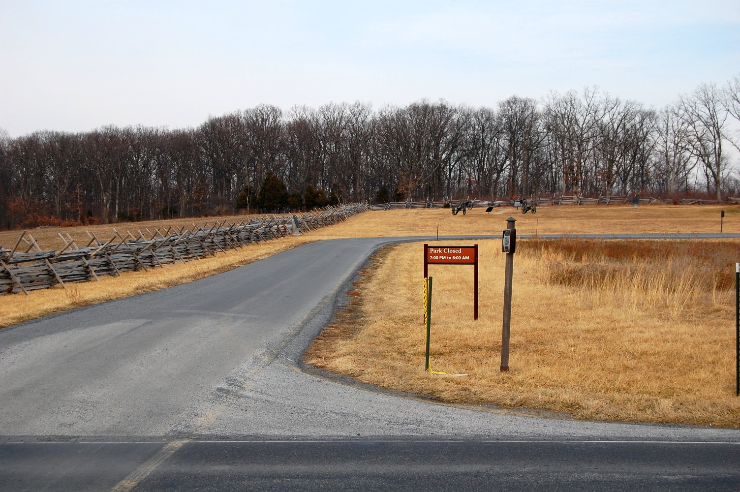
This is the point where the avenue was rerouted, but for a few months after the construction of the memorial, North Confederate Avenue’s second branch around the monument was left intact … This view was taken facing northeast at approximately 2:45 PM on Thursday, February 17, 2011.

The old branch of North Confederate Avenue is chained off in the right-hand portion of this view, taken circa 1938. The photographer is standing on or in front of the Peace Light Memorial. This photo is courtesy of the Center for Civil War Photography, which has more than 1,000 historic Gettysburg Park images like these on their Flickr.

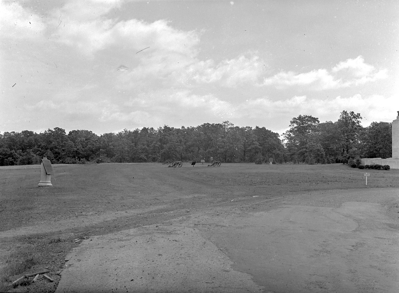
… The avenue can be seen against the tree-line behind the monument later that year, but still prior to its July dedication. This view was taken facing northeast circa 1938 and is courtesy of the Center for Civil War Photography, which has more than 1,000 historic Gettysburg Park images like these on their Flickr.

And although there was a time where the monument was completed and the avenue remained, CCC workers were ordered to remove the extension that circled the Peace Light for its dedication in 1938. This photo is courtesy of the Center for Civil War Photography, which has more than 1,000 historic Gettysburg Park images like these on their Flickr.
After the removal. This view was taken circa 1938 and is courtesy of the Center for Civil War Photography, which has more than 1,000 historic Gettysburg Park images like these on their Flickr.
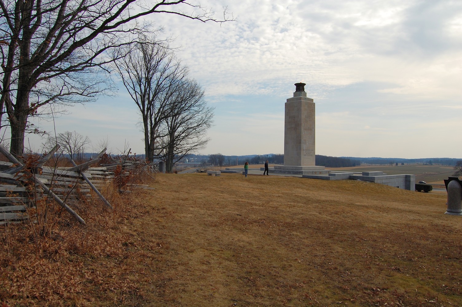
This view was taken facing southeast at approximately 2:45 PM on Thursday, February 17, 2011.