North Gettysburg Trail “Deep and Wide” on Adams County Property
June 30, 2011
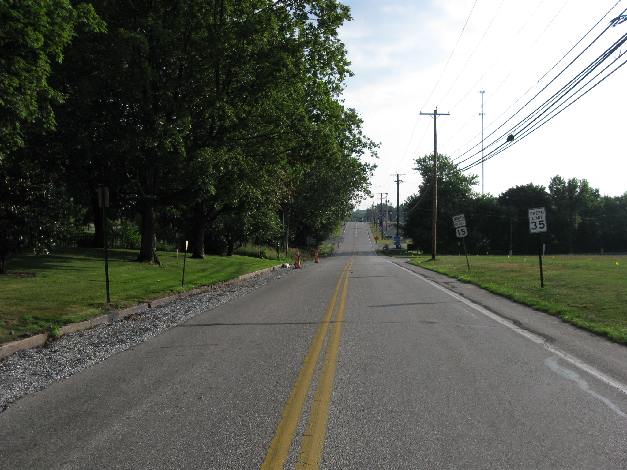
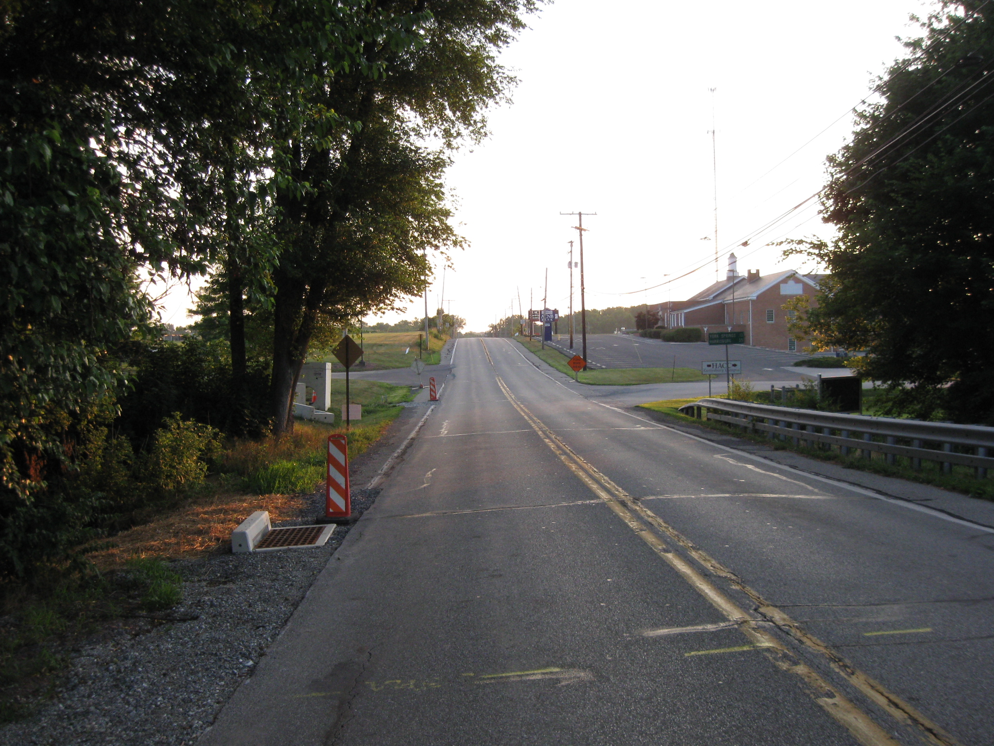
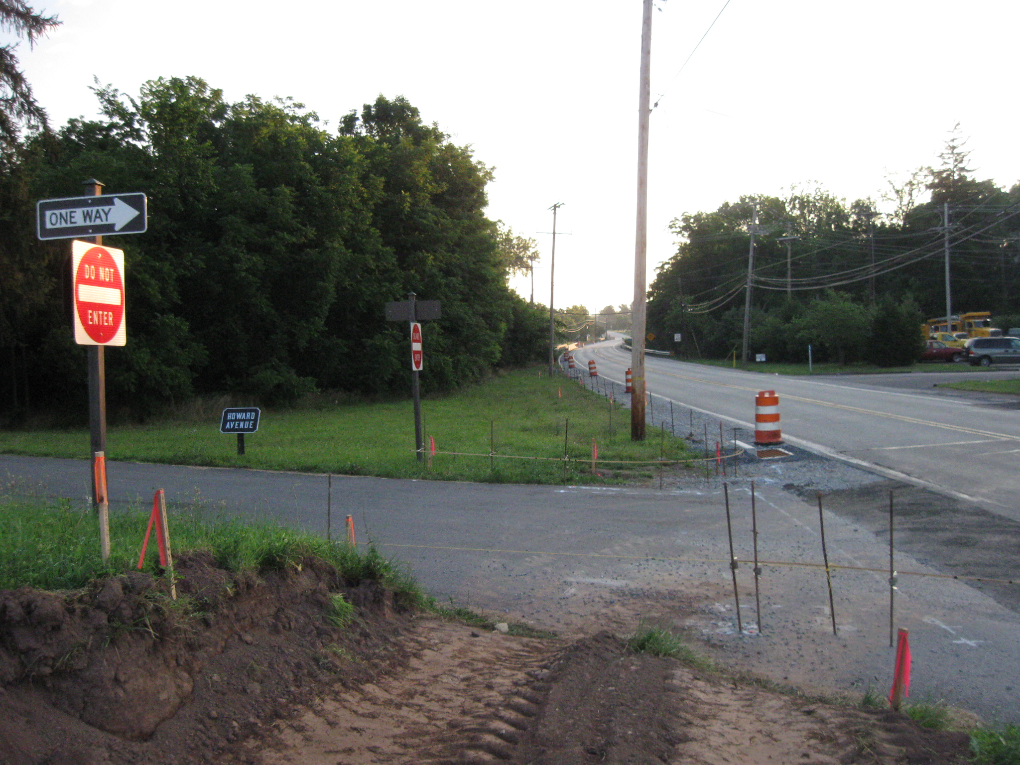
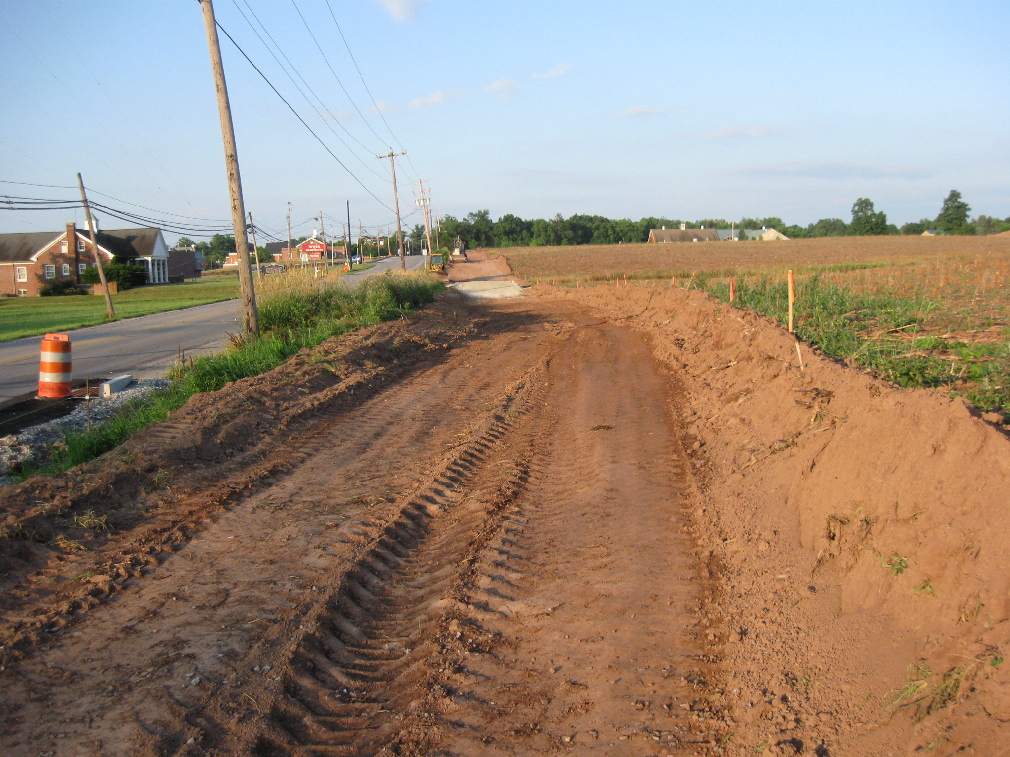
The North Gettysburg Trail is a walking, bicycle trail that is being constructed to link the borough of Gettysburg with Gettysburg High School. As it goes over Adams County land, the “trail” resembles a road. The Harrisburg Road is on the left. The photographer is standing at the junction of Howard Avenue and the Harrisburg Road. This image was taken facing southwest at approximately 7:00 AM on Saturday June 25, 2011
The North Gettysburg Trail will be a biking trail that will connect the Borough of Gettysburg with Gettysburg High School. It has been “in the works” since the high school moved out of town in the mid-1990s.
So far, construction on the “trail” close to the Borough, and closer to the high school does not reveal a very wide trail. However, on Adams County property, between Howard Avenue and the Adams County Agricultural Center, construction on the “trail” is sometimes over 22 feet wide and as much as three feet deep.
National park Service spokesperson Katie Lawhon replied to our questions about archaeological clearances with: “Archeological work was conducted by a private firm for this project in 2008. Cultural Heritage Research Services, Inc. (CHRS) applied for and received a federal permit under the Archeological Resources Protection Act to complete a series of investigations before trail construction. The work included shovel test pits and the use of metal detectors. The Pennsylvania State Historic Preservation Office has reviewed and approved the trail project.”
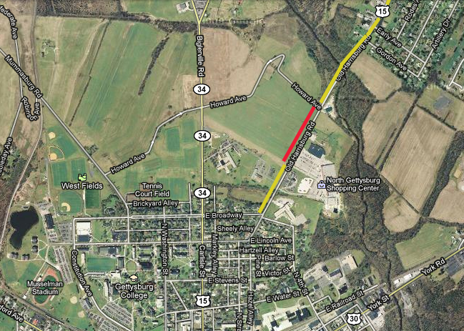
This map shows part of the location of the North Gettysburg Trail. The yellow lines show a not yet very wide trail west of the Harrisburg Road. The red line shows Adams County land where the road is very wide and sometimes deep. This map was created facing north at approximately 5:00 PM on Saturday, June 25, 2011.
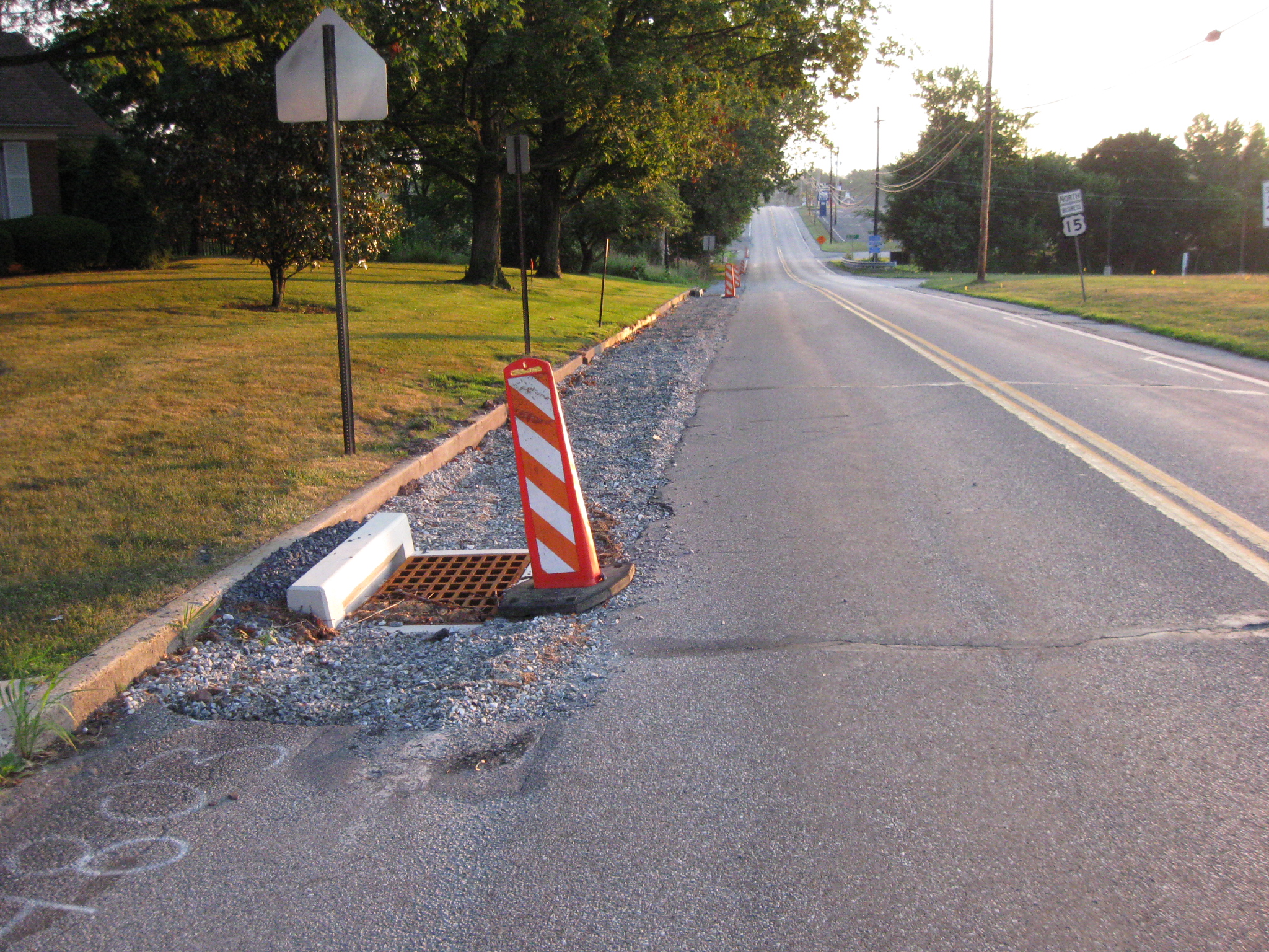
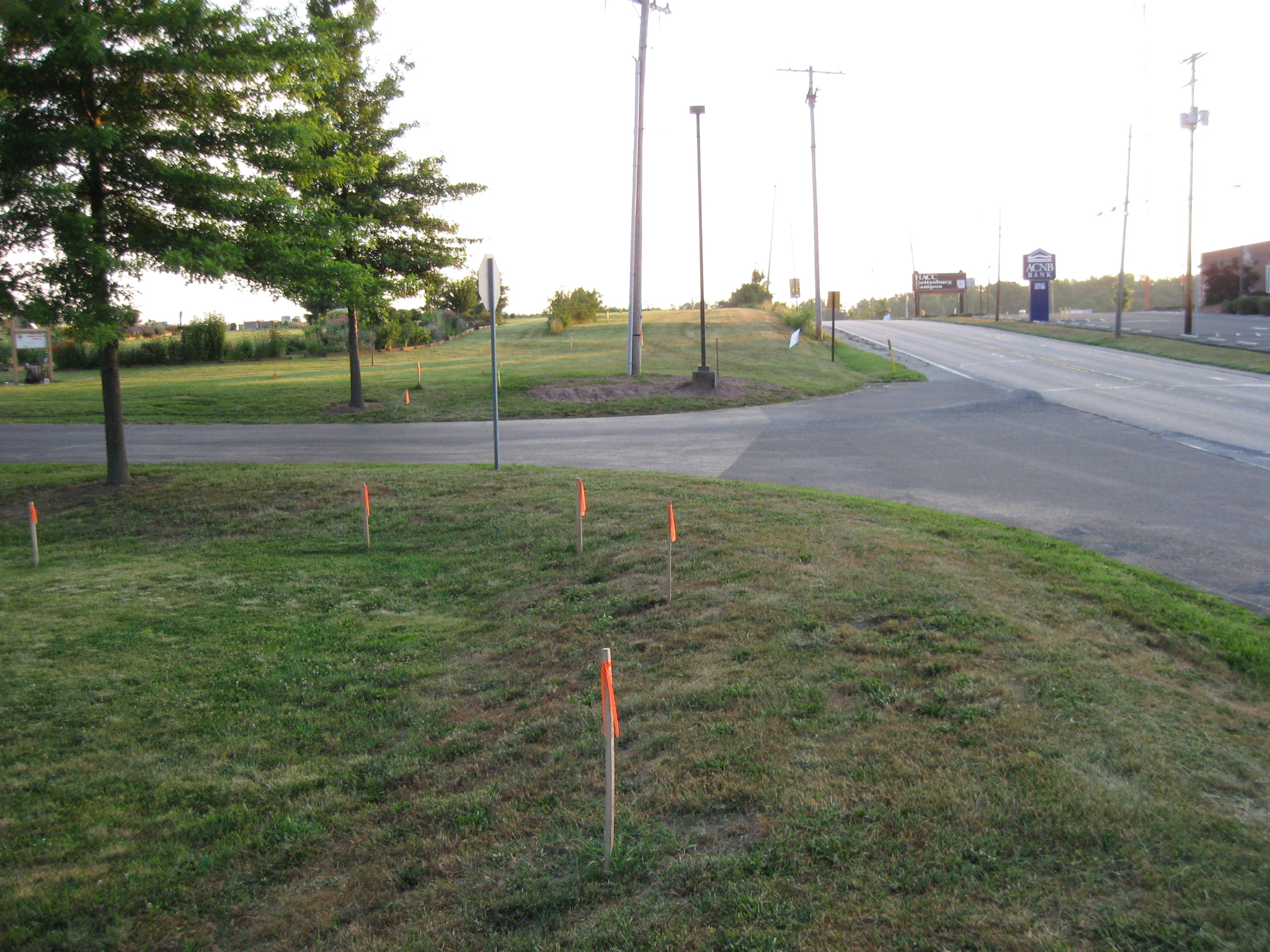
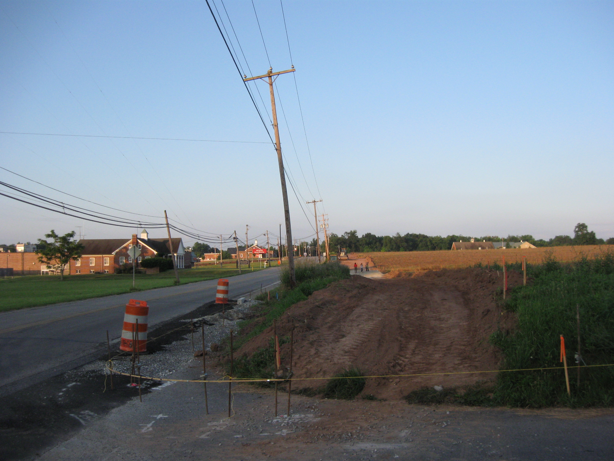
We’ll start our walk down the trail at the Eisenhower School. It is located at the intersection of East Broadway (behind the camera) and the Harrisburg Road (on the left). The yellow flags could be marking the location of the trail (or the relocation of some utilities) on the east side of the Harrisburg Road. This view was taken facing northeast at approximately 7:00 AM on Saturday, June 25, 2011.
We will spend most of our time on the left or west side of the Harrisburg Road. This view was taken facing northeast at approximately 7:00 AM on Saturday June 25, 2011.
Here’s how this area looked near the beginning of the 20th century. The War Department briefly took over some of the primary roads leading into Gettysburg in order to rebuild them. After finishing the work, the United States Government turned the roads back over to the Commonwealth of Pennsylvania. The Adams County Alms House is on the left. The North Gettysburg shopping center would later be located in the fields on the right. This image, which is in the archives at Gettysburg National Military Park, was taken facing northeast circa 1906.
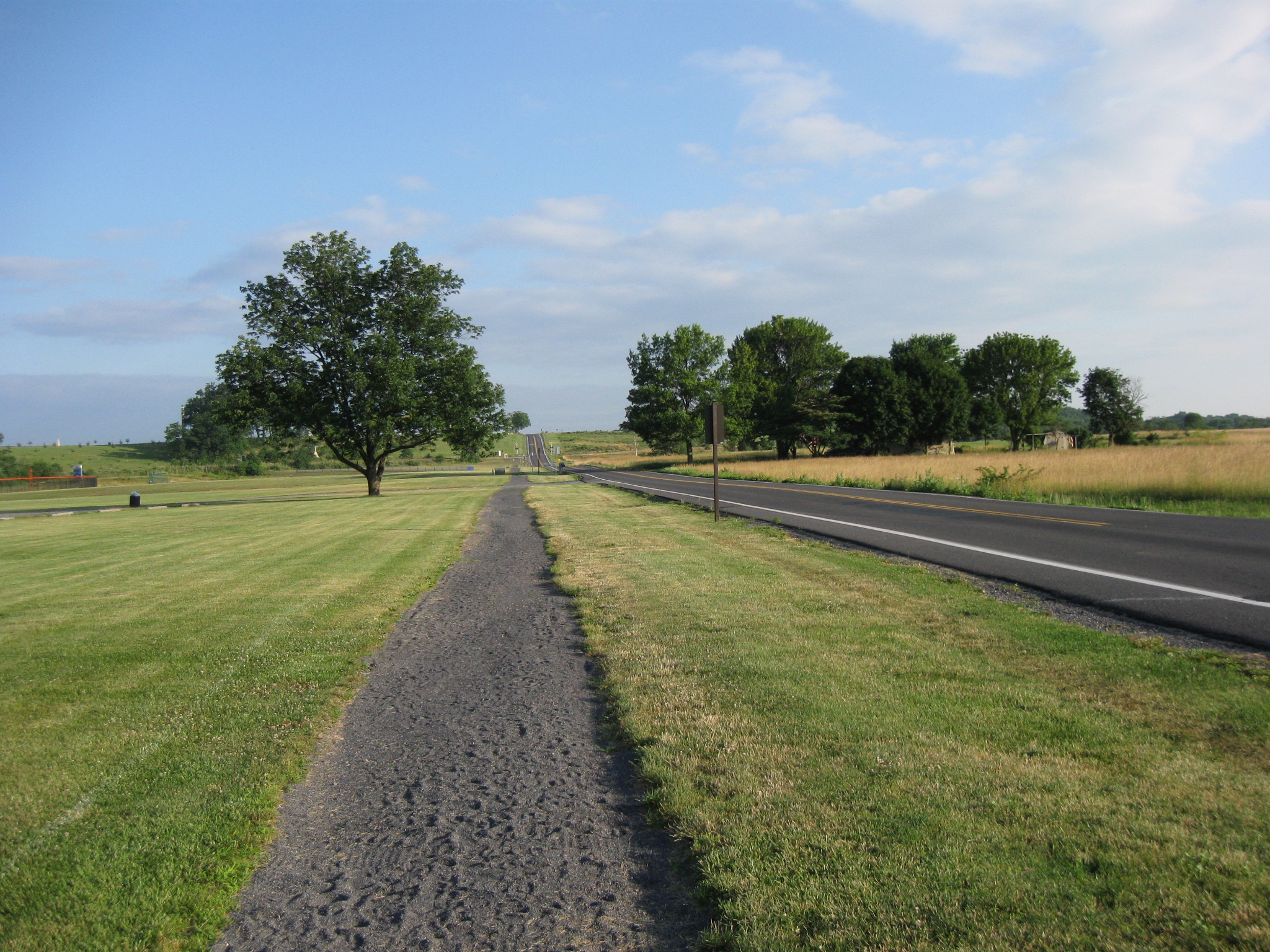
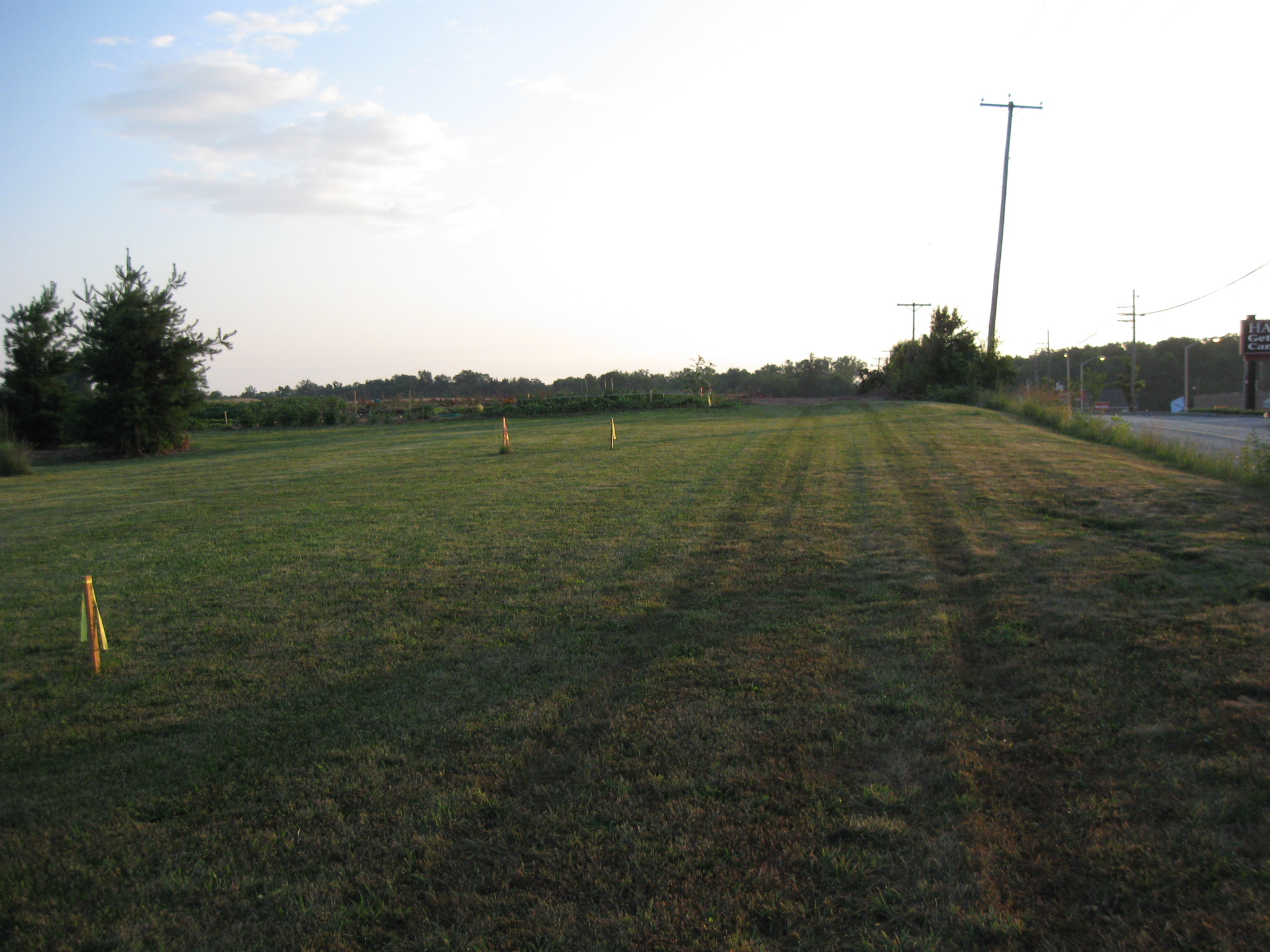
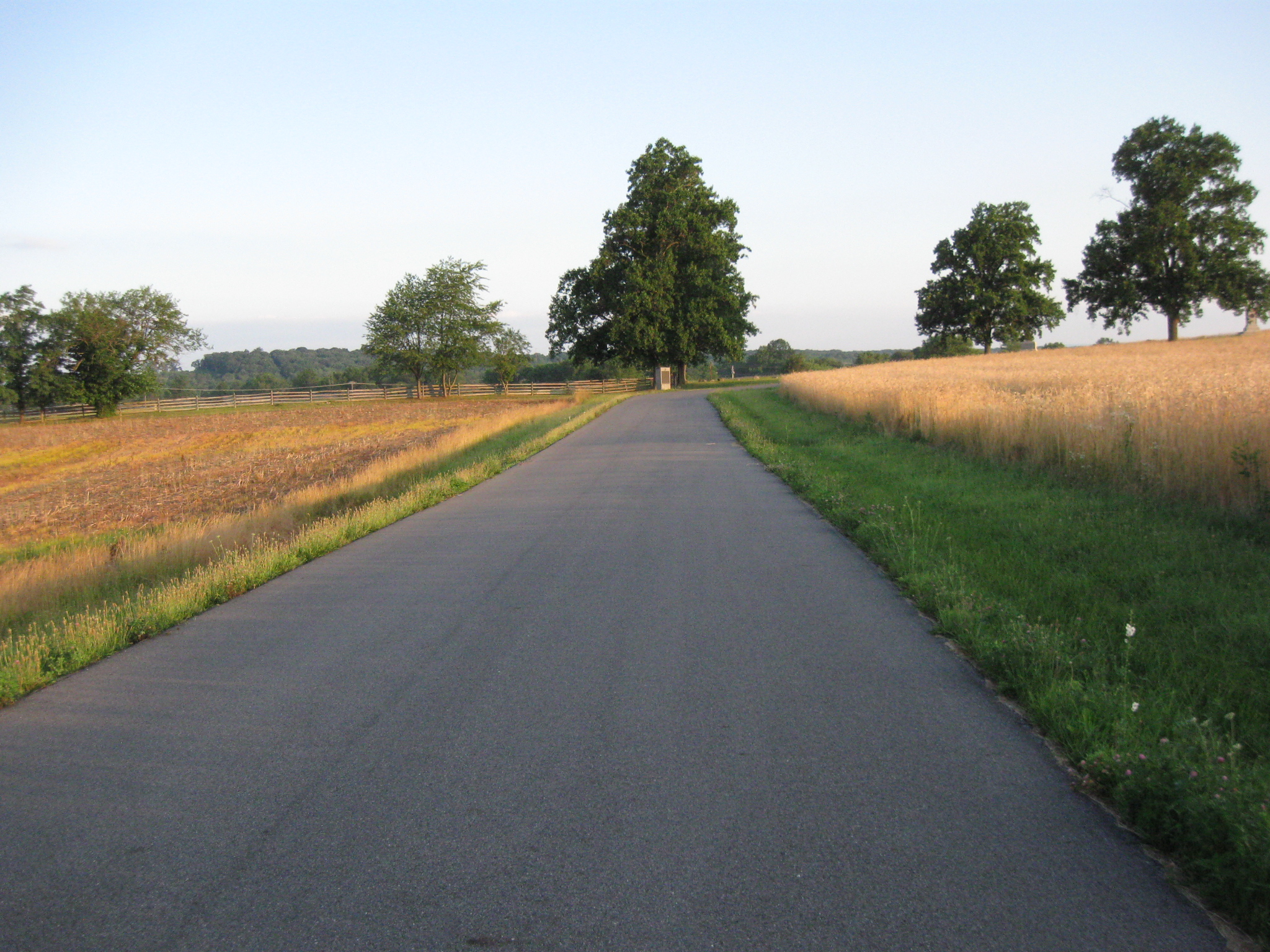
We’ll stay on the west side of the Harrisburg Road. Here the trail doesn’t appear to be too wide, and actually looks like a trail. This image was taken facing northeast at approximately 7:00 AM on Saturday June 25, 2011.
In fact, we might have visions of the trail that Gettysburg College constructed on the west side of the Mummasburg Road leading up to Oak Ridge. This image was taken facing northwest at approximately 7:00 AM on Saturday, June 26, 2011.
We continue our journey by walking over the Alms House Run as it is officially known. This image was taken facing northeast at approximately 7:00 AM on Saturday June 25, 2011
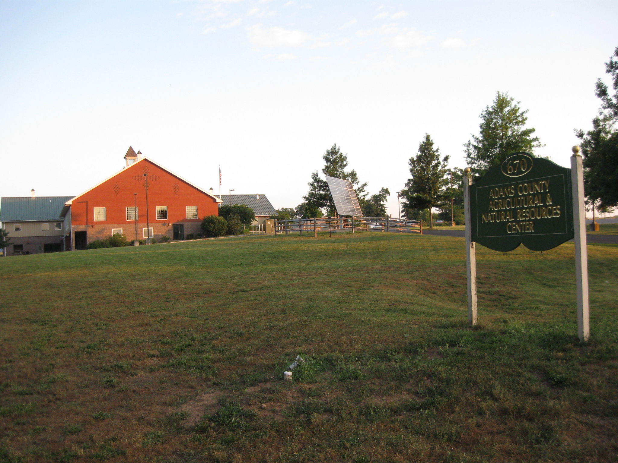
On the other side of the Alms House Run is the Adams County Agricultural and Natural Resources Center. This image was taken facing northwest at approximately 7:00 AM on Saturday June 25, 2011
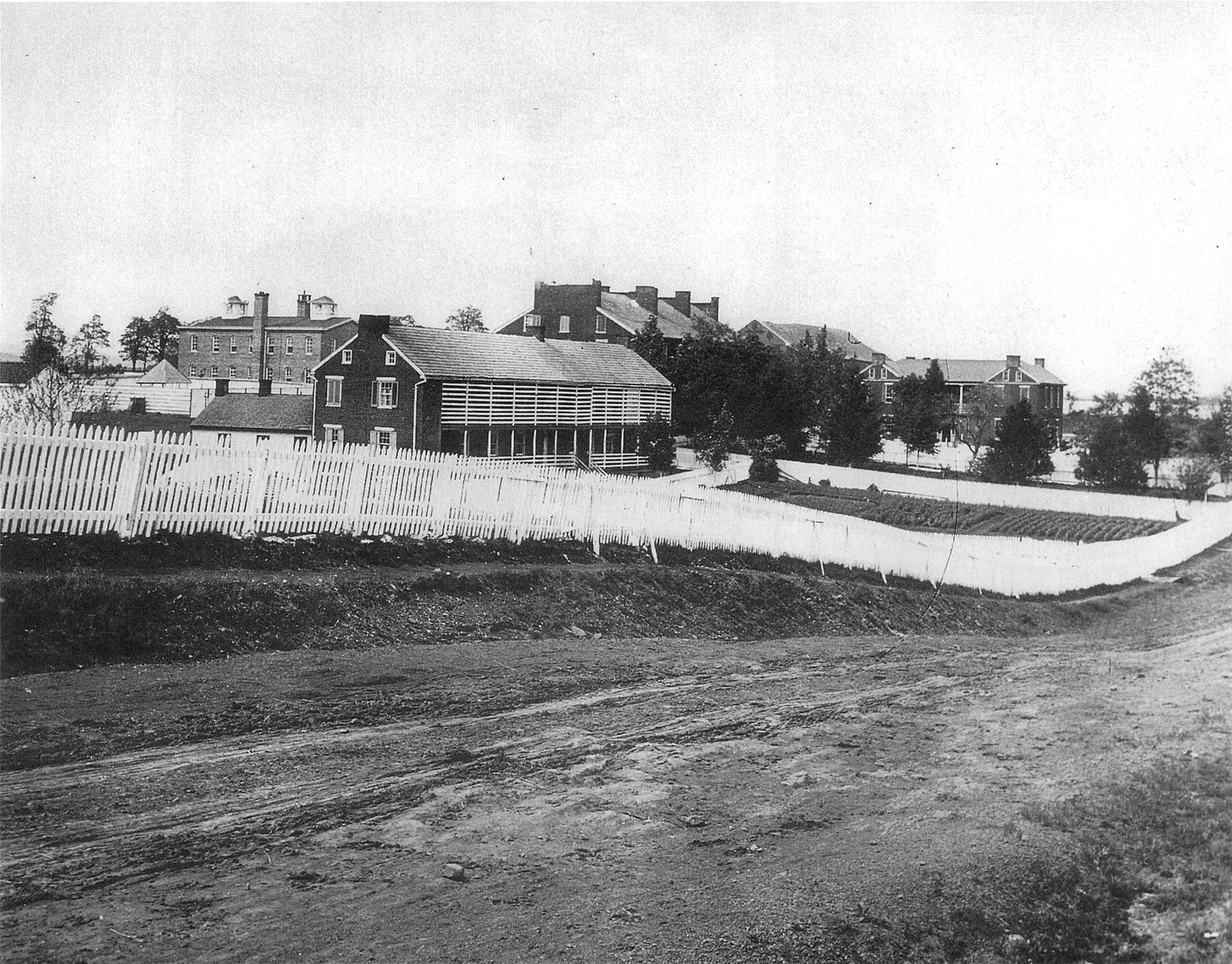
It is on land owned by Adams County, Pennsylvania, and was once the home of the Adams County Alms House. The Alms House was established in 1818. It was a complex of buildings that were home to the poor of Adams County, and “otherwise incapacitated citizens.” The Alms House closed after some of the buildings were consumed by a fire in the 1950s. The last building was taken down circa 1974. This image, which is in the archives at Gettysburg National Military Park, was taken facing northwest circa 1885.
We’ll keep walking along the Adams County Agricultural Center property. This image was taken facing northeast at approximately 7:00 AM on Saturday June 25, 2011
The trail will be located somewhere in this area, we assume near the stakes. We don’t know how wide it will be here. The Adams County Agricultural Center property ends at the low bushes coming up in the left background. This image was taken facing northeast at approximately 7:00 AM on Saturday June 25, 2011
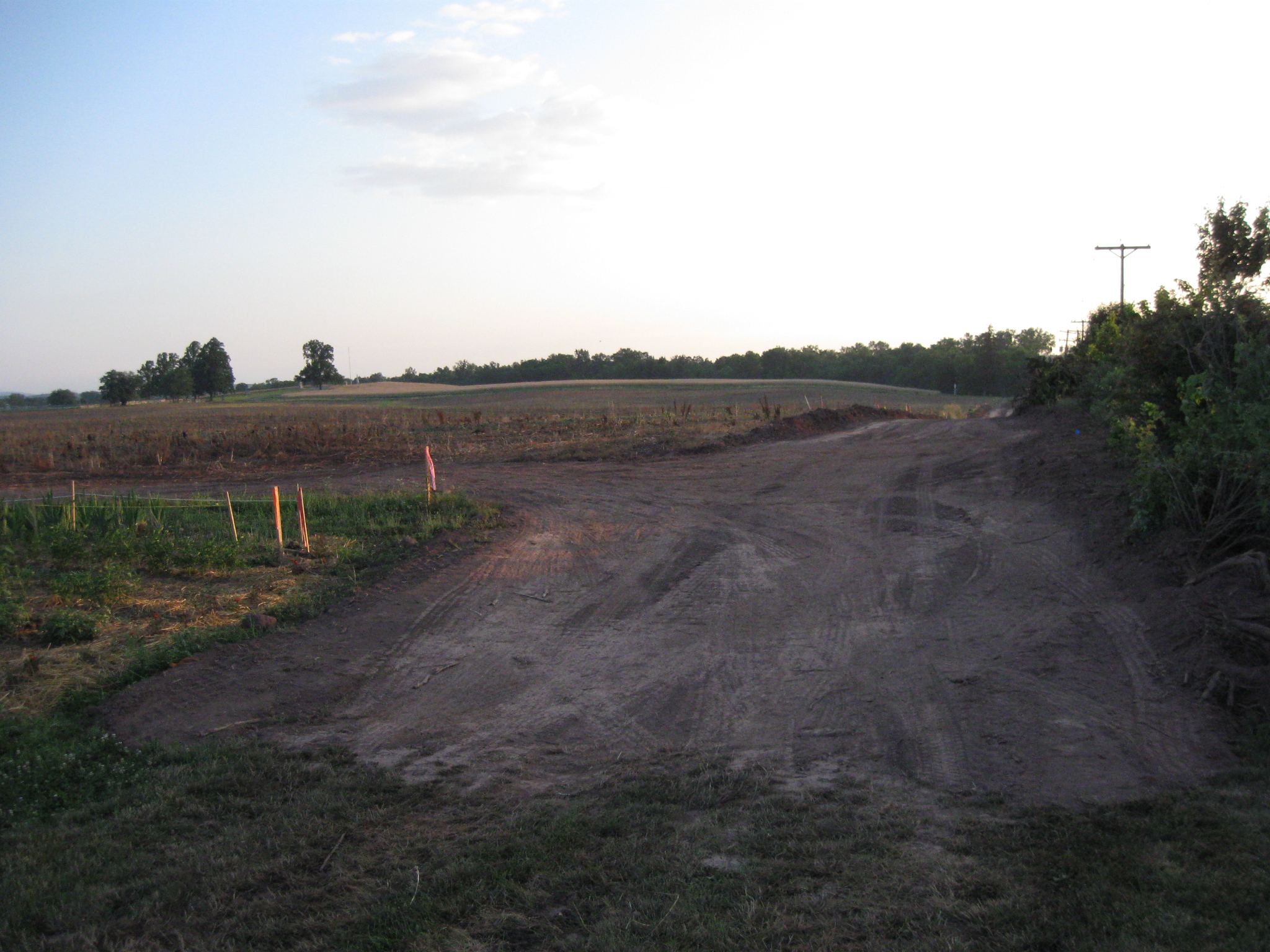
So now we’re entering Adams County property. This property is within the proposed boundary of Gettysburg National Military Park, but is still Adams County property. Barlow’s Knoll is in the left background. This view was taken facing northeast at approximately 7:00 AM on Saturday, June 25, 2011.
There’s a really wide dirt road here. This view was taken facing northeast at approximately 7:00 AM on Saturday June 25, 2011.
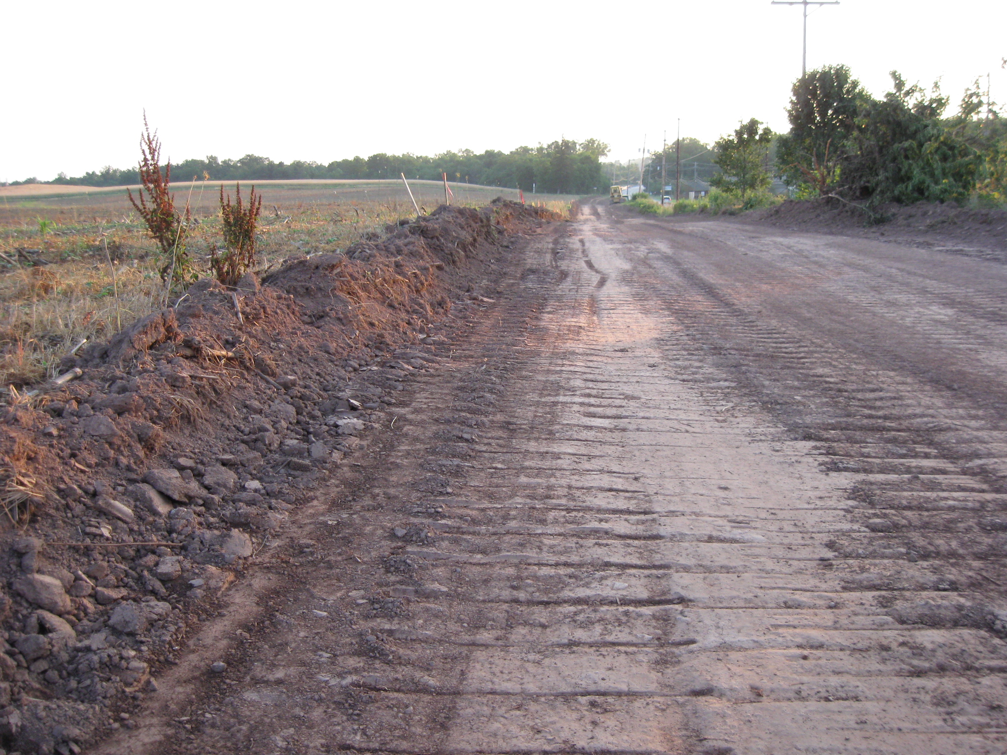
This isn’t one of those less than five feet wide trails on the property of Gettysburg College. This view was taken facing northwest at approximately 7:00 AM on Saturday June 25, 2011.
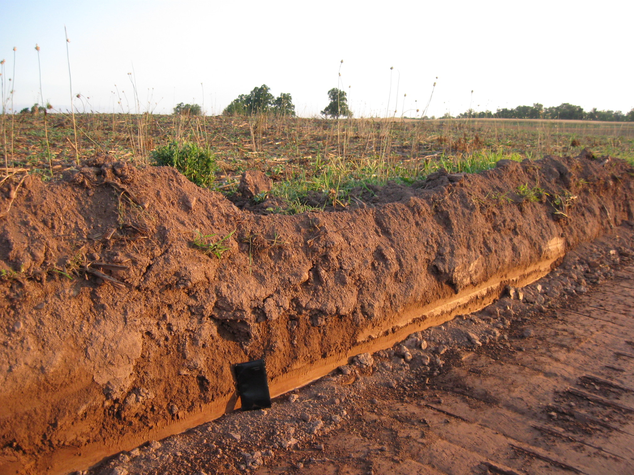
And it appears that they’ve had to dig into the contours of the ground pretty significantly to make this road. This image was taken facing north at approximately 7:00 AM on Saturday June 25, 2011.
We took out our trusty pocket calendar, which is 6 inches tall. So here they have cut into the earth approximately a foot and a half. This image was taken facing north at approximately 7:00 AM on Saturday, June 26, 2011.
In places this road is over 22 feet wide. National Park Service spokesperson Katie Lawhon informed us that on Adams County property, the trail was designed to be eight feet wide. The Adams County Agricultural Center is in the background. This image was taken facing southwest at approximately 7:00 AM on Saturday June 25, 2011
That’s a couple of feet wider than Howard Avenue. The marker for Barlow’s division is in the background. The Alms House Cemetery is behind the wooden fence in the left background. This image was taken facing northwest at approximately 7:00 AM on Saturday June 25, 2011
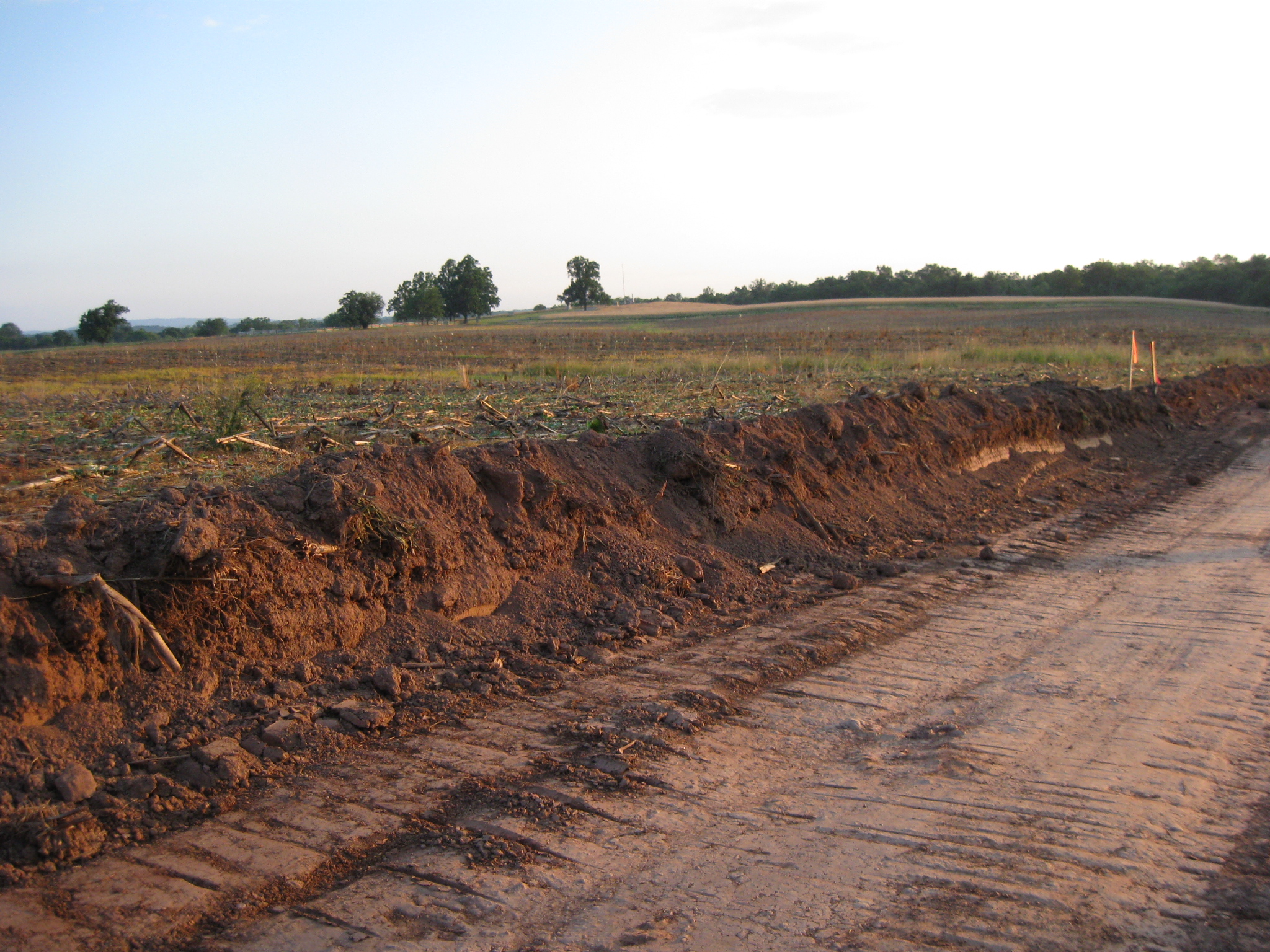
We’ll walk a little farther down. We thought there was topsoil and gravel that was supposed to be brought in and placed over the existing ground without having to dig it up. This image was taken facing northeast at approximately 7:00 AM on Saturday June 25, 2011
Unfortunately the evidence shows that here they’ve scraped away approximately two feet of the earth. This image was taken facing north at approximately 7:00 AM on Saturday June 25, 2011
We sure hope that the Adams County knew what they were doing when they signed off on this project. This image was taken facing southwest at approximately 7:00 AM on Saturday June 25, 2011
We would like to believe that this roller just packed dirt down that they brought in from somewhere else. Instead it appears in more than a few places that the bulldozer behind it dug into the earth during the “landscaping” here. This view was taken facing southwest at approximately 7:00 AM on Saturday, June 25, 2011.
We certainly hope that Adams County did all the archaeological excavations that they needed to in this area fought over by Early’s Confederate Division, and Barlow’s Union Division. This view was taken facing southwest at approximately 7:00 AM on Saturday June 25, 2011.
Here’s where they had to construct a culvert and then put the gravel over top of it. This view was taken facing northeast at approximately 7:00 AM on Saturday June 25, 2011.
Its too bad that isn’t officially National Park Service property. This image was taken facing southwest at approximately 7:00 AM on Saturday June 25, 2011.
Maybe they would have stopped the contractors from digging three feet into the ground at this location north of the culvert.. This image was taken facing north at approximately 7:00 AM on Saturday, June 26, 2011.
Here the road is narrowing as we reach East Howard Avenue. But look how much they cut into the ground sloping from Barlow’s Knoll to the Harrisburg Road. This image was taken facing northeast at approximately 7:00 AM on Saturday June 25, 2011
The trail narrows again on the north side of East Howard Avenue as it prepares to go over the bridge over Rock Creek in the distance. National Park Service spokesperson Katie Lawhon informed us that on National Park Service property, the trail was designed to be six feet wide. This image was taken facing northeast at approximately 7:00 AM on Saturday June 25, 2011
So we don’t understand why if we’re having bicycles and walkers that this road needs to be as wide as it is. This image was taken facing northeast at approximately 7:00 AM on Saturday June 25, 2011
We don’t understand why other parts of this same trail aren’t as wide and those designing the trail thought it was wide enough in the areas north of Howard Avenue and in the area of the Alms House and back to the Borough. This image was taken facing northeast at approximately 7:00 AM on Saturday June 25, 2011
We hope this pile of earth near the Adams County Agricultural Center is all fill dirt and/or topsoil that they brought in from somewhere else to fill in wherever they need to to make the area more level, and not any dirt that they have scraped away. This image was taken facing south at approximately 7:00 AM on Saturday June 25, 2011
We hope that this trail/road/highway gets a lot of use over the years to justify the expense, the labor… This view was taken facing southwest at approximately 7:00 AM on Saturday, June 25, 2011.
…and what may be a lack of caring about the events that occurred here on July 1, 1863. This view was taken facing north at approximately 7:00 AM on Saturday June 25, 2011.