
Drone footage taken from above the Civil War Trust’s property on East Cemetery Hill in Gettysburg [no sound].This video was taken on August 5, 2016 by Garry Adelman and Jim Drey of the Civil War Trust. The National Park Service banned citizens from flying drones over National Parks in 2014; note that Garry and Jim kept the drone above Civil War Trust property.

The Civil War Trust has completed the removal of the house located at Hillcrest Place on East Cemetery Hill in Gettysburg. We covered the restoration effort in-depth back in August. Today we’ll show you some of the new views afforded by the removal.This image was taken facing northeast at approximately 5:00 PM on Thursday, March 9, 2017.

The house was located at the end of the road (Hillcrest Place) on the left. The Gettysburg Municipal Authority’s water tank is located in the right background. The GMA is responsible for water and sewer in the Gettysburg Borough.This image was taken facing northwest at approximately 5:00 PM on Thursday, March 9, 2017.
Bye bye, house.This image was taken facing east at approximately 5:00 PM on Thursday, March 9, 2017.

By removing the house, the Civil War Trust aims to restore this land to its approximate 1863 appearance. The house sat on the battle line of the 107th Ohio Infantry Regiment and the 25th Ohio Infantry Regiment. If you’d like to view a high-resolution TIFF of this panorama, click here. This panoramic view was taken southward at approximately 5:00 PM on Thursday, March 9, 2017.
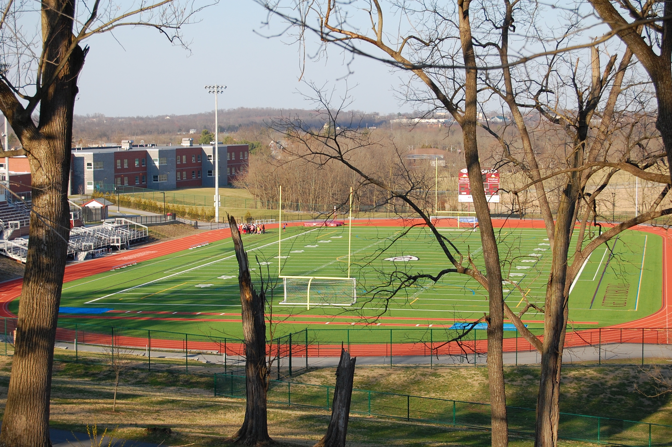
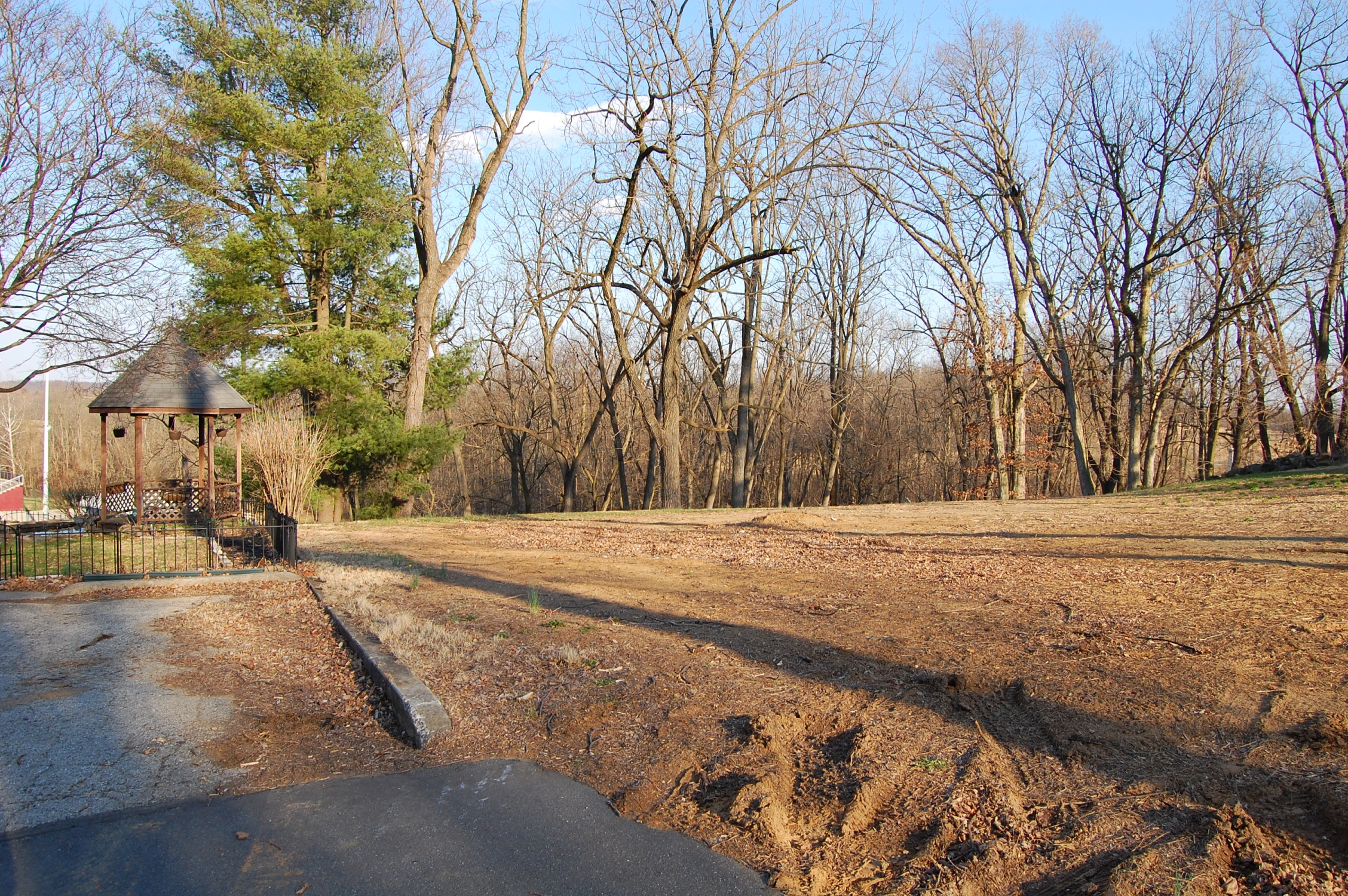
Though the house is now gone, the viewshed still contains numerous non-historic features, like Gettysburg Area School District’s football field. The new Gettysburg Middle School is in the left background.You can see East Confederate Avenue making its way to Culp’s Hill in the right background. This image was taken facing northeast at approximately 5:00 PM on Thursday, March 9, 2017.
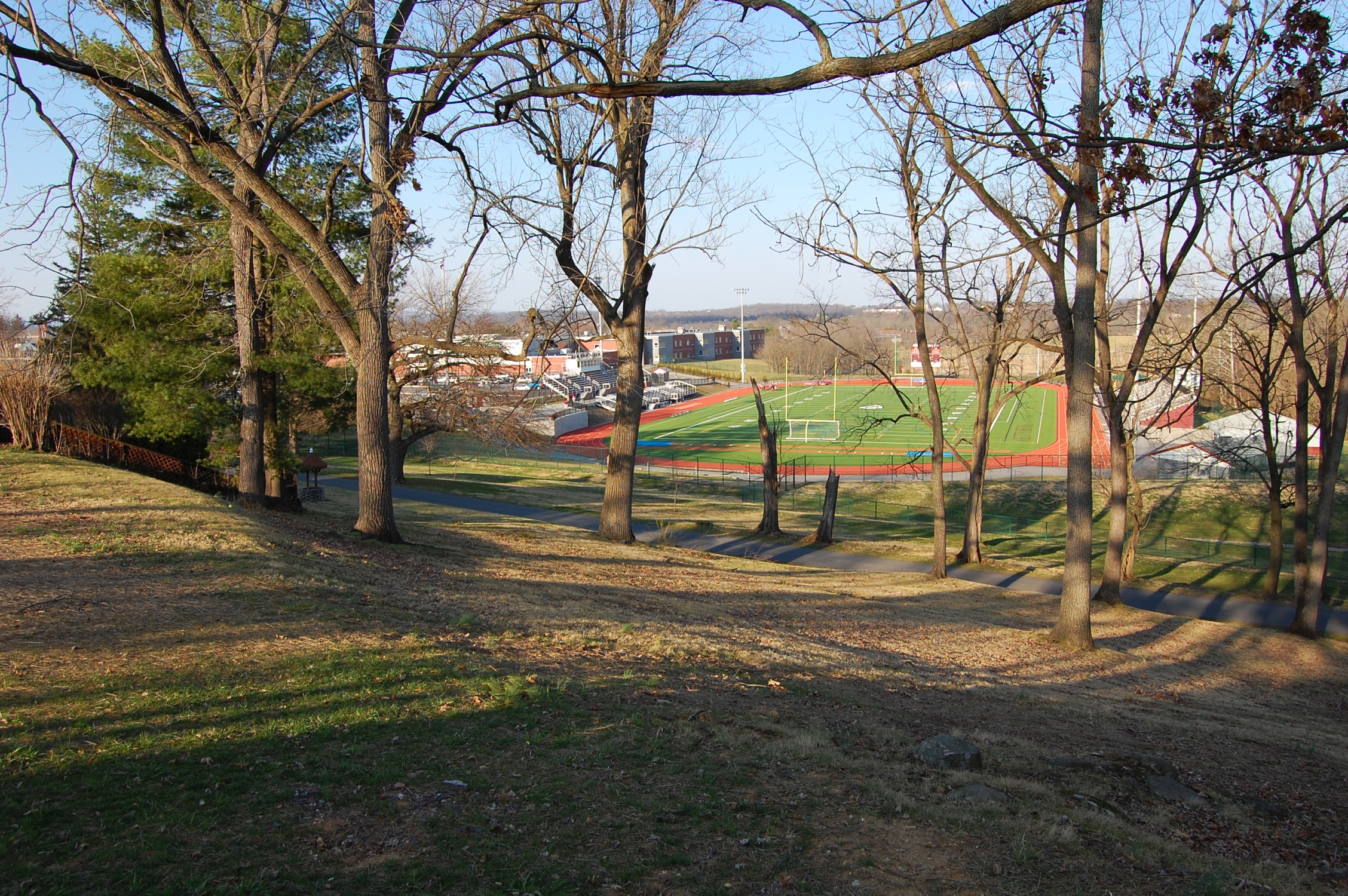
Wainwright Avenue is located at the base of the property’s eastern slope.This image was taken facing northeast at approximately 5:00 PM on Thursday, March 9, 2017.
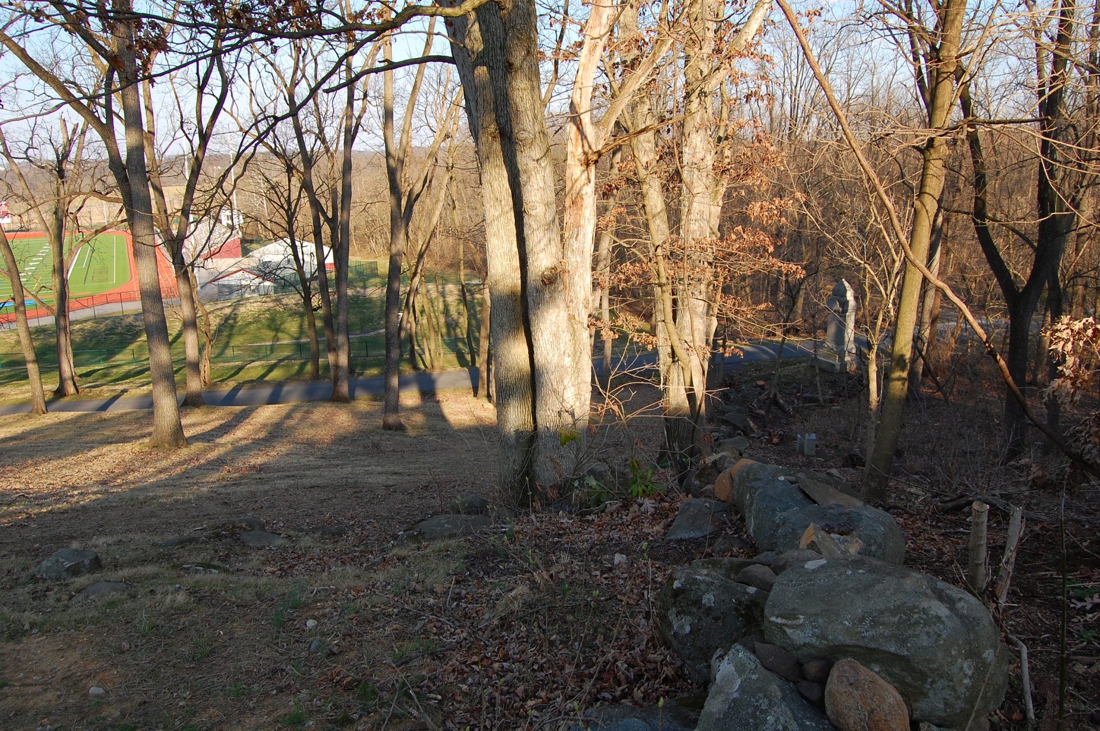
The Wainright Avenue monument to the 25th and 75th Ohio can be seen in the bottom right. Their other monument is located on Barlow’s Knoll.This image was taken facing east at approximately 5:00 PM on Thursday, March 9, 2017.
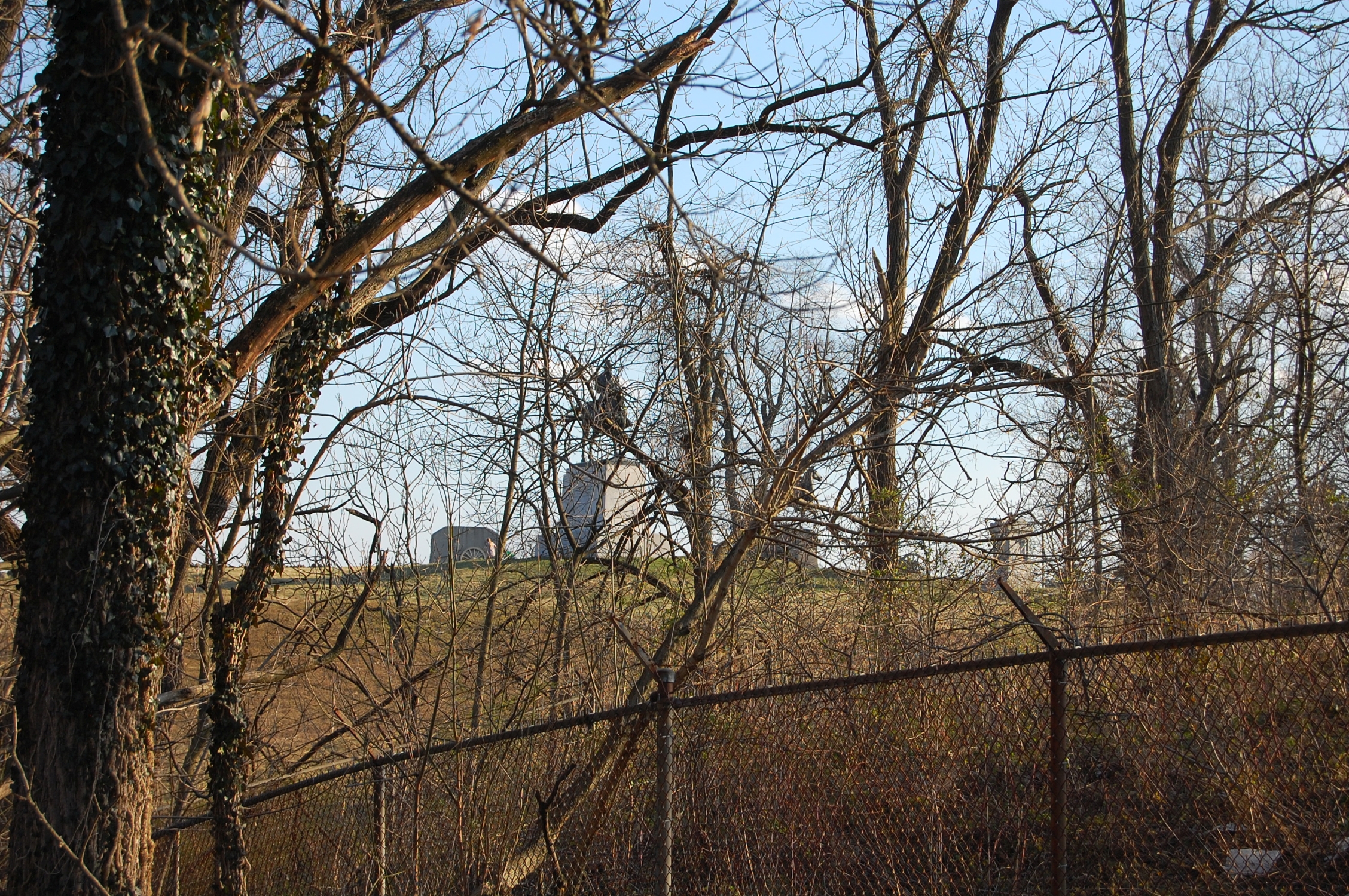
We appreciate the effort on the part of the Civil War Trust to restore this hill to its 1863 appearance. The barbed wire encloses the property owned by the GMA and also contains electrical equipment for the Borough of Gettysburg.The equestrian statues to Oliver O. Howard and Winfield S. Hancock can be seen on East Cemetery Hill. This image was taken facing south at approximately 5:00 PM on Thursday, March 9, 2017.
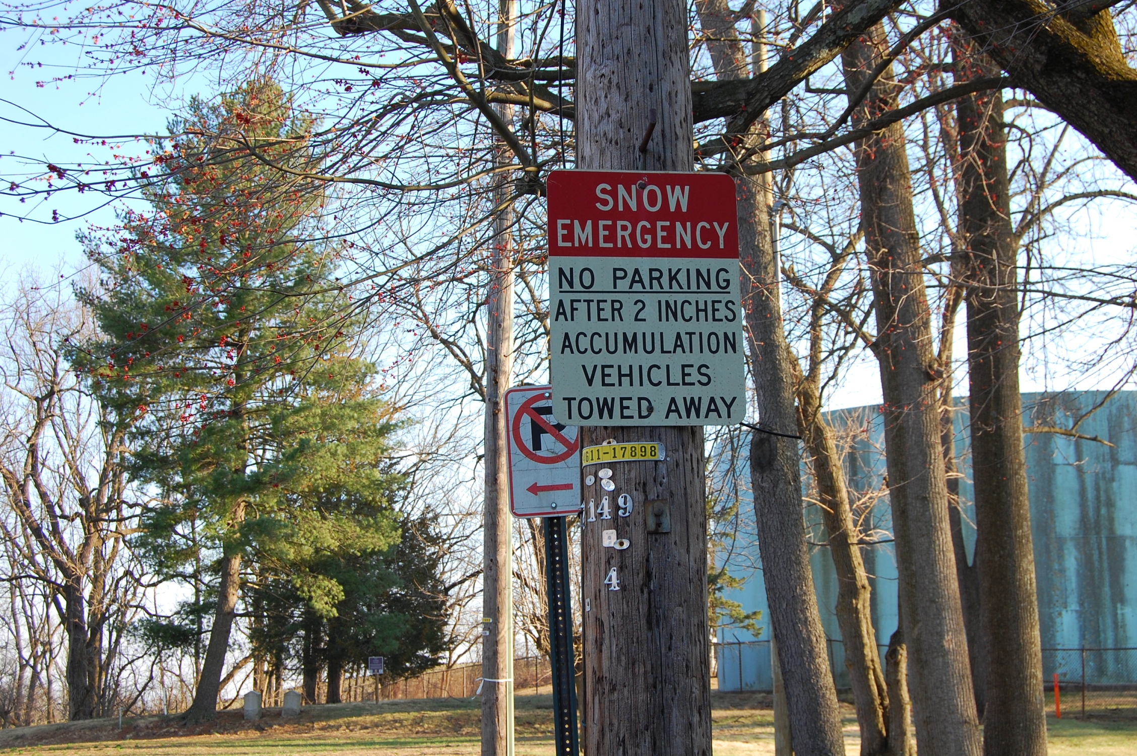
Residents that live on Hillcrest Place have complained to the borough for years about the road’s decades old status as a Snow Emergency Route. If there are more than two inches of snowfall, the borough tows any cars parked along the street. This image was taken facing south at approximately 5:00 PM on Thursday, March 9, 2017.
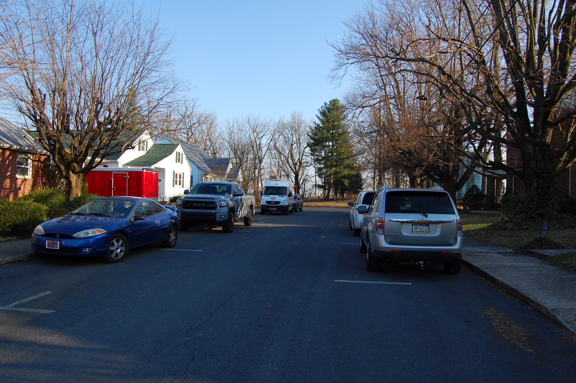
Many of the residents don’t have a private driveway or garage. One gentleman we spoke with said that he’s been asking the borough for years to give him a reason why the emergency route status remains. The borough says that they need to access the water tower/tank and the electrical equipment.This image was taken facing south at approximately 5:00 PM on Thursday, March 9, 2017.

The resident pointed out that there is access on the other side of the hill that the borough can and often will use. He told us that the Gettysburg police are typically friendly when they knock on his door at 2 AM and tell him to move his vehicle. The edge of the water tank is in the left of frame. The hotel you can see in the center background sits on Baltimore Street and is currently called the 1863 Inn of Gettysburg (formerly Holiday Inn). This image was taken facing west at approximately 5:00 PM on Thursday, March 9, 2017.

We’re pleased that this…This image was taken facing north at approximately 5:00 PM on Thursday, March 9, 2017.

…no longer looks like this. The Civil War Trust hopes to return the land to the National Park Service sometime this year or next.This image was taken facing north at approximately 2:00 PM on Saturday, July 16, 2016.