

Wednesday afternoon, National Park Service Ranger Historian Troy Harmon lead approximately 200 people on a battle walk of Brinkerhoff’s Ridge. He began in the area of the Jenkin’s Brigade marker on the East Cavalry Battlefield. At the beginning he outlined the organization of the cavalry during the Gettysburg campaign, and recommended some books to read on this action. This view was taken from the southeast facing northwest between 2:30 PM and 5:00 PM on Wednesday, July 2, 2008.
On Wednesday, afternoon, National Park Service Ranger Historian Troy Harmon presented the program, “Brinkerhoff Ridge, Symptomatic of a Bigger Problem.” The program began on the East Cavalry Battlefield, and thanks to some park neighbors, the group of approximately 200, were able to travel across private lands to the battle site.

After Troy’s introduction, the group began moving west to the Hoffman Road. This view was taken from the east facing west between 2:30 PM and 5:00 PM on Wednesday, July 2, 2008.
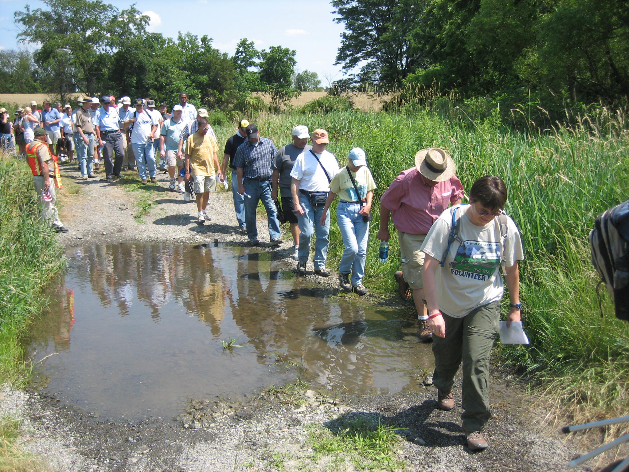
The group had to go single file to cross Cress Run. This view was taken from the west facing east between 2:30 PM and 5:00 PM on Wednesday, July 2, 2008.

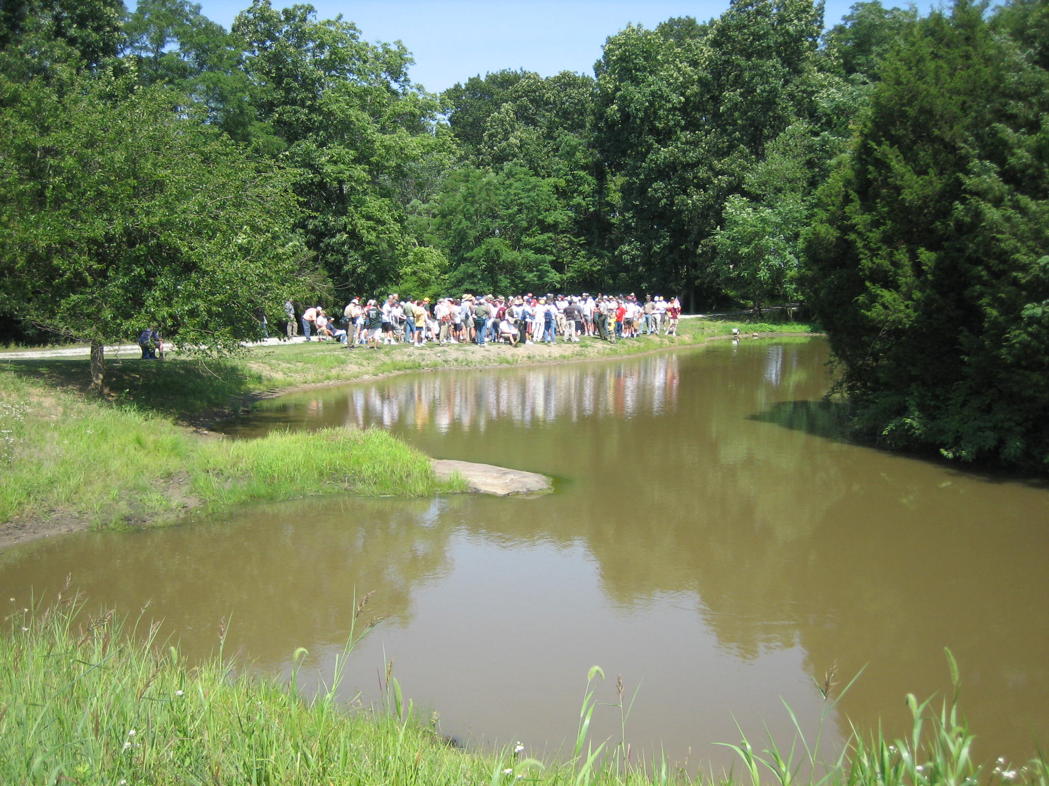
After crossing Cress Run, the group moved uphill towards Hoffman Ridge. This view was taken from the west facing east between 2:30 PM and 5:00 PM on Wednesday, July 2, 2008.

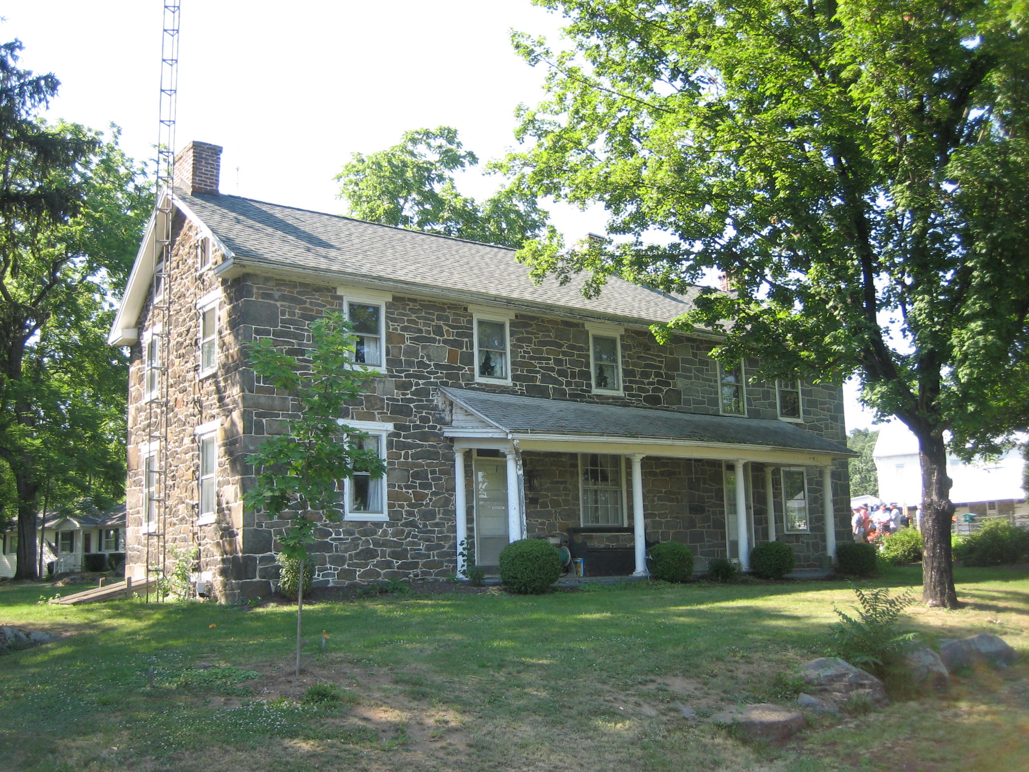
The Reinhart House on Hoffman Ridge, along the Hoffman Road, was possibly used as headquarters by Confederate General J.E.B. Stuart. This view was taken from the east facing west between 2:30 PM and 5:00 PM on Wednesday, July 2, 2008.

The Hoffman road is to the left of the group as Troy explains that it was used by the Union troops as a jumping off point to attack Brinkerhoff Ridge to the right. The Confederate’s Stonewall Brigade at one time pushed Union troops from Brinkerhoff Ridge to the Hoffman Road. This view was taken from the north facing south between 2:30 PM and 5:00 PM on Wednesday, July 2, 2008.

The group travels northward along the Hoffman Road. Obviously we were not very worried about traffic. This view was taken from the south facing north between 2:30 PM and 5:00 PM on Wednesday, July 2, 2008.

Troy explains that we will be going west from Hoffman Ridge towards Brinkerhoff Ridge. The camerman on the right (above the person drinking out of a water bottle) is the PCN camerman. This view was taken from the east facing west between 2:30 PM and 5:00 PM on Wednesday, July 2, 2008.
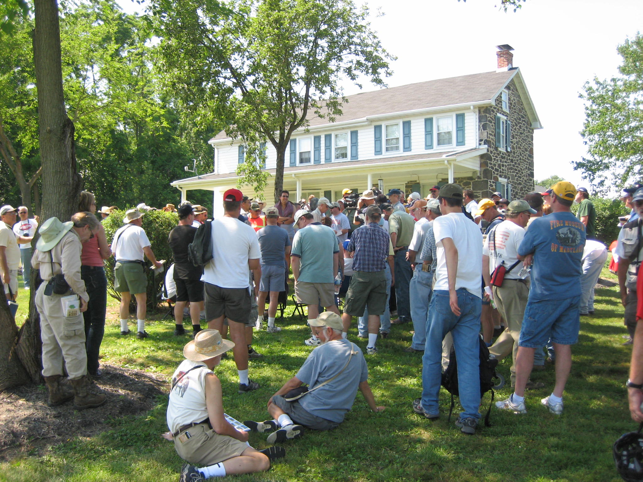
On the Storrick property, Troy explains to the group about the 10th New York Cavalry and its connection with Gettysburg before the battle. U.S. Congressman Edward McPherson, from Gettysburg, was instrumental in having this unit protect Gettysburg in early 1862. They will return to Gettysburg the next year to fight on Brinkerhoff Ridge. This view was taken from the east facing west between 2:30 PM and 5:00 PM on Wednesday, July 2, 2008.

Troy introduced Peg Paris (to his left) who allowed us to go across her property at the Storrick house. She is the niece of Gettysburg Historian Jacob Sheads. William Storrick was a former Superintendent of Gettysburg National Military Park, and a Licensed Battlefield Guide. He was seven years old at the time of the battle. This view was taken from the southeast facing northwest between 2:30 PM and 5:00 PM on Wednesday, July 2, 2008.

The Storrick House. William Storrick wrote of soldiers in the house during the battle for Brinkerhoff Ridge. This view was taken from the southeast facing northwest between 2:30 PM and 5:00 PM on Wednesday, July 2, 2008.
Troy pauses the group in front of the Storrick House to tell us it was a structure here during the battle, and to warn us about the high grass coming up. This view was taken from the southeast facing northwest between 2:30 PM and 5:00 PM on Wednesday, July 2, 2008.

The group leaves the Storrick House, moving through the grass to Brinkerhoff Ridge. This view was taken from the east facing west between 2:30 PM and 5:00 PM on Wednesday, July 2, 2008.

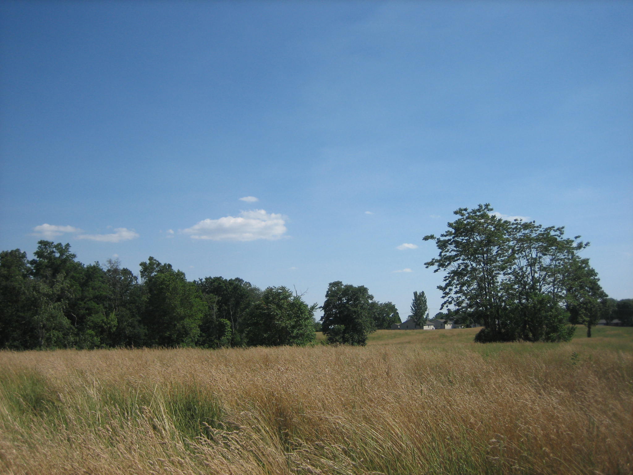
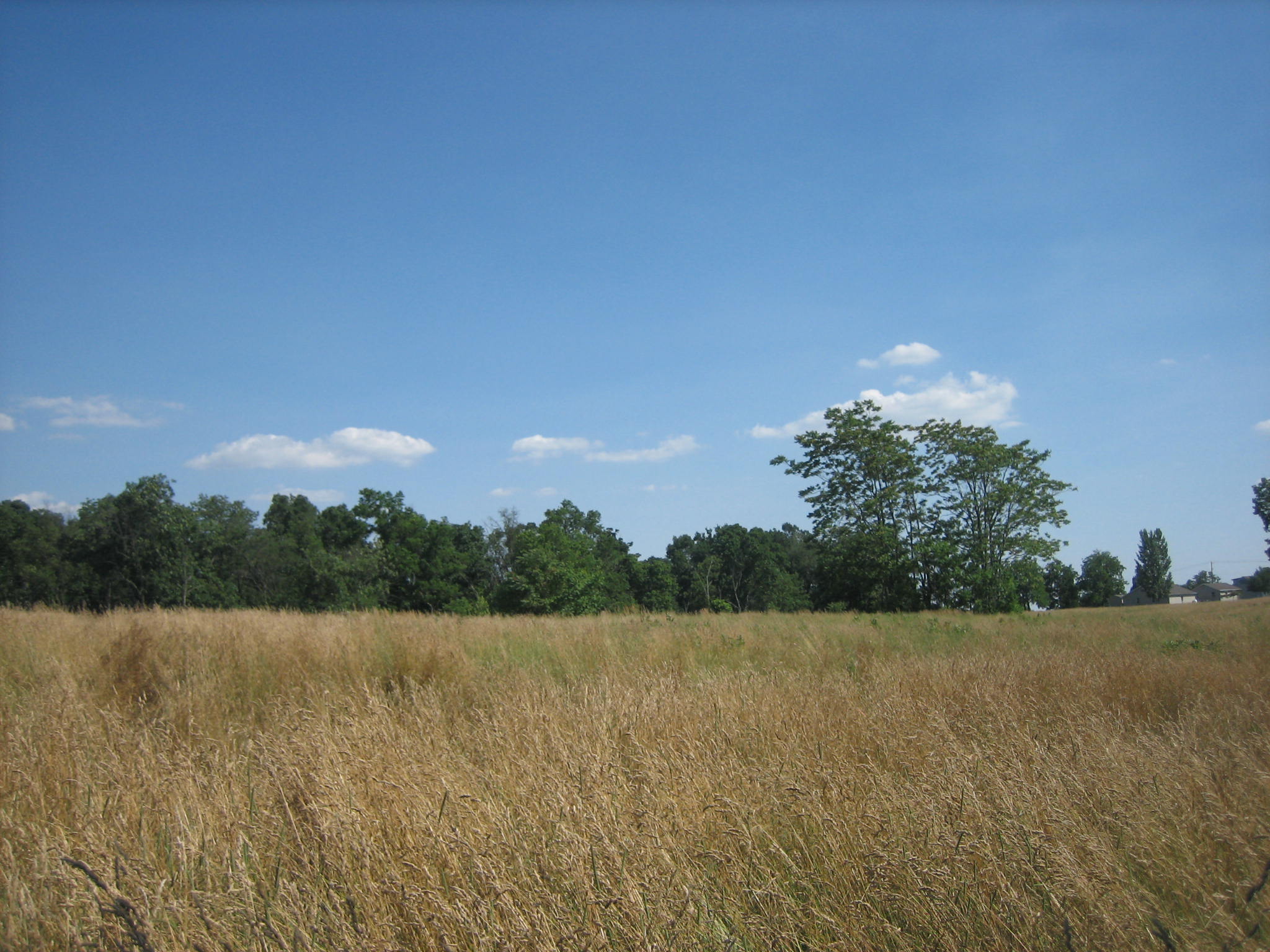
The group has emerged from the woods as the 10th New York Cavalry would have done as they faced the Confederates. Brinkerhoff’s Ridge is the wheat colored/hay colored grass above the group. The dark green trees in the background is known as Rocky Top. This view was taken from the west facing east between 2:30 PM and 5:00 PM on Wednesday, July 2, 2008.
The 10th New York Cavalry sent skirmishers out from the woods on the left to the clump of trees on the right in this photograph. This view was taken from the northwest facing southeast between 2:30 PM and 5:00 PM on Wednesday, July 2, 2008.
This is the view of the 2nd Virginia Infantry Regiment of the Stonewall Brigade looking across Brinkerhoff Ridge to the woods from where the 10th New York Cavalry was emerging. This view was taken from the east facing west between 2:30 PM and 5:00 PM on Wednesday, July 2, 2008.
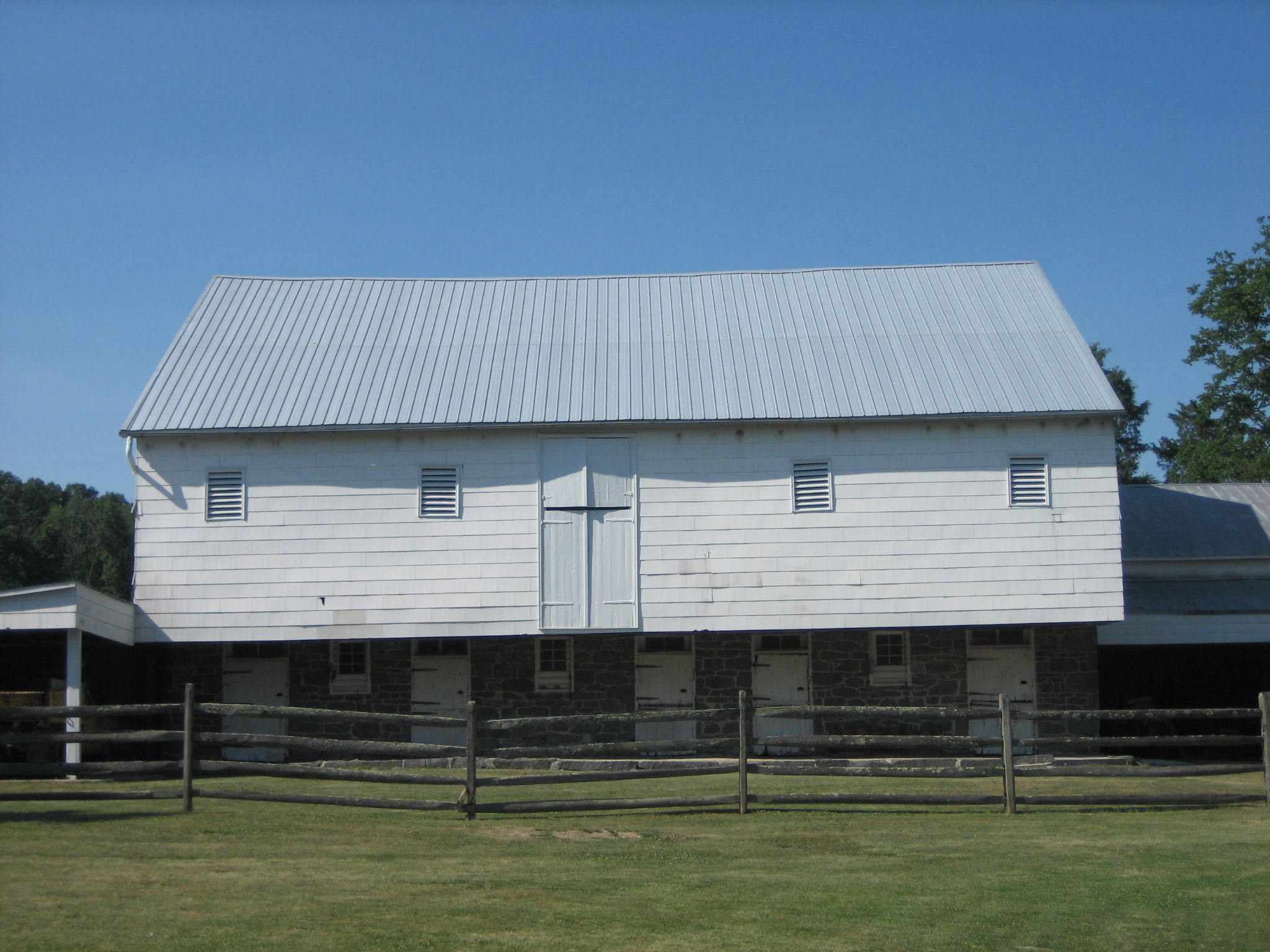
We have moved near the Hanover Road. This is the Henry Brinkerhoff barn. This view was taken from the south facing north between 2:30 PM and 5:00 PM on Wednesday, July 2, 2008.
The Henry Brinkerhoff house. This view was taken from the southeast facing northwest between 2:30 PM and 5:00 PM on Wednesday, July 2, 2008.

The monument to the 10th New York Cavalry regiment, on Brinkerhoff Ridge along the Hanover Road. The horse was modeled after one on top of the Parthenon. This view was taken from the south facing north between 2:30 PM and 5:00 PM on Wednesday, July 2, 2008.

A plaque describing the Battle of Brinkerhoff Ridge at the intersection of the Hanover Road and Hoffman Road. This view was taken from the southeast facing northwest between 2:30 PM and 5:00 PM on Wednesday, July 2, 2008.