
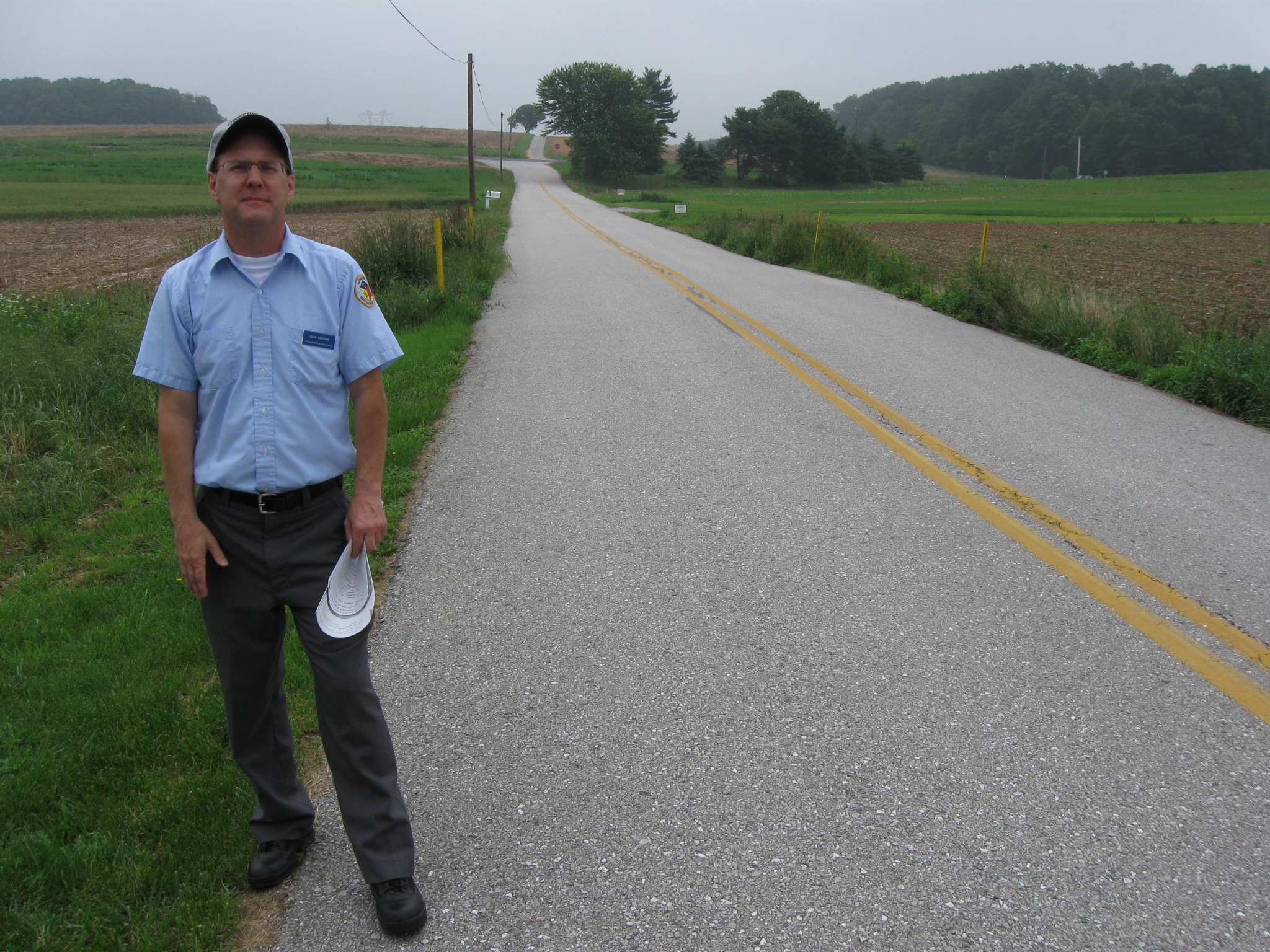
Gettysburg Licensed Battlefield Guide John Krepps is the author of the book, A Strong and Sudden Onslaught, The Cavalry Action at Hanover, Pennsylvania. He is standing on Line Road, which is the state line between Maryland on the right (south) and Pennsylvania on the left (north). The address for Marylanders living along the road is Humbert Schoolhouse Road. The address for Pennsylvanians living here is Line Road. This view was taken facing southeast at approximately 3:30 PM on Thursday, June 11, 2009.
In today’s Battle for Hanover post we finish our approach to Hanover and stop along Line Road and the Gitt Farm.

This map shows the location of where our videos were produced on the Old Hanover Road. Video #6 was taken at the intersection of Old Hanover Road and Leppo Road. Video #7 was taken on Line Road. Videos #8 and #9 were taken at the Gitt Farm. This map was created facing north at approximately 12:30 PM on Friday, June 26, 2009.
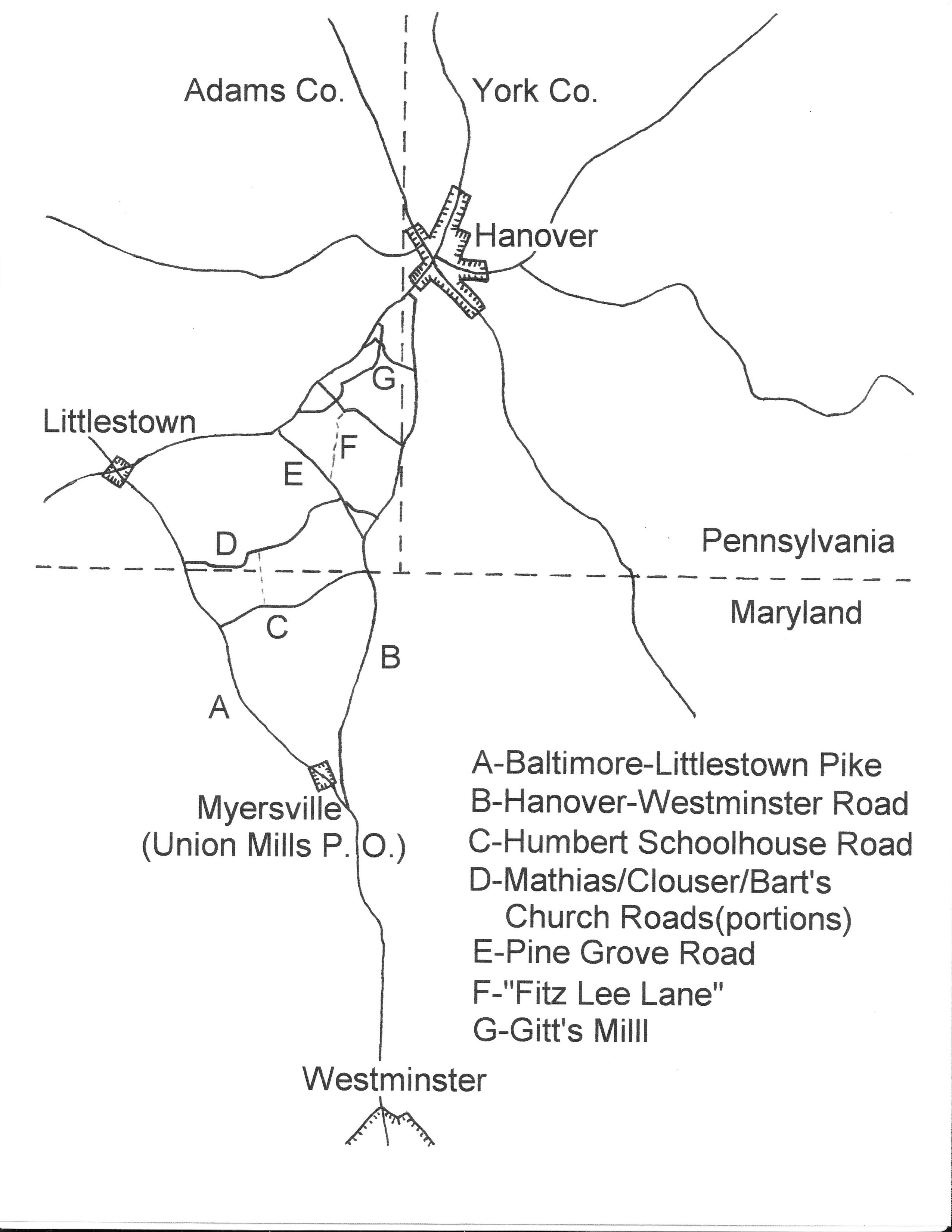
Gettysburg Licensed Battlefield Guide John Krepps provided this map showing the area of operations for Judson Kilpatrick’s United States Cavalry and J.E.B. Stuart’s Confederate States Cavalry on the morning of June 30, 1863. This map is from John’s book, A Strong and Sudden Onslaught, The Cavalry Action at Hanover, Pennsylvania. This map was scanned facing north at approximately 4:00 PM on Friday, June 26, 2009.
In Video #7 (Video #s 1-6 were seen in our previous Battle of Hanover posts) Gettysburg Licensed Battlefield Guide John Krepps describes the arrival of J.E.B. Stuart’s Cavalry in Pennsylvania. He also explains what the Fifth Corps of the Army of the Potomac did when they also arrived in this area. We appreciate his telling us to get off the road when the vehicle drove by. This view was taken facing east to west to east at approximately 3:30 PM on Thursday, June 11, 2009.
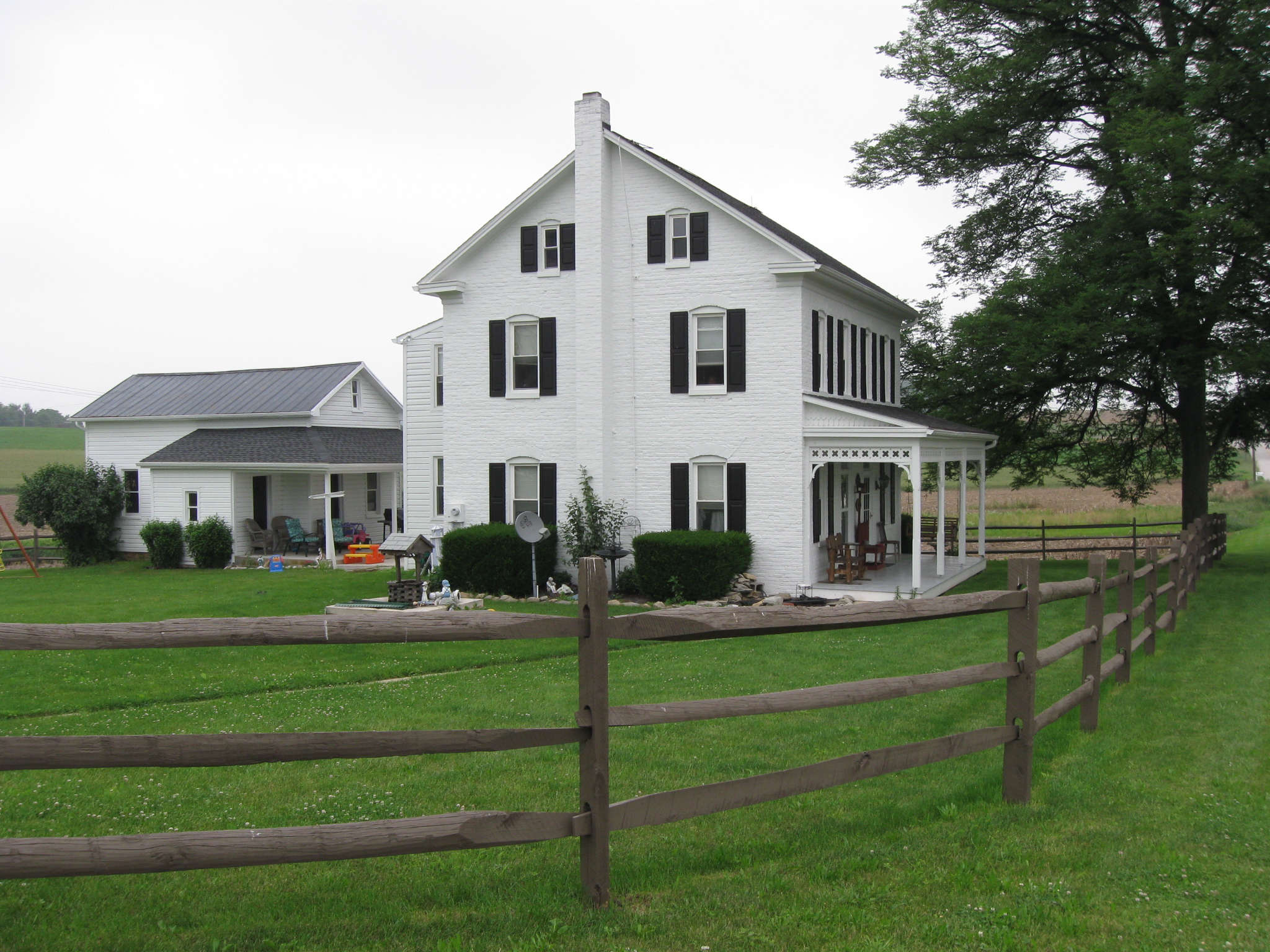
The Daniel Leese farm is located on Line Road (the Pennsylvania side). This view was taken facing northeast at approximately 3:30 PM on Thursday, June 11, 2009.

The Daniel Leese farm from the southwest. This view was taken facing northeast at approximately 3:30 PM on Thursday, June 11, 2009.
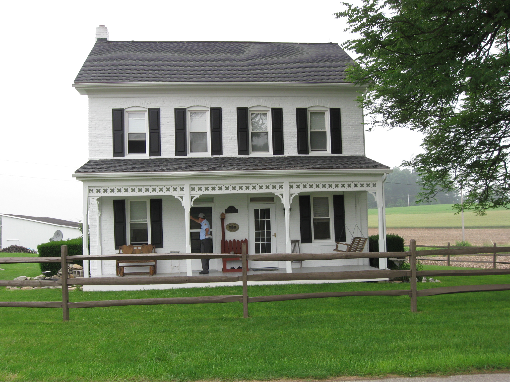
The Daniel Leese Farm from Line Road. This view was taken facing north at approximately 3:30 PM on Thursday, June 11, 2009.

The Daniel Leese Farm from the southeast. This view was taken facing northwest at approximately 3:30 PM on Thursday, June 11, 2009.
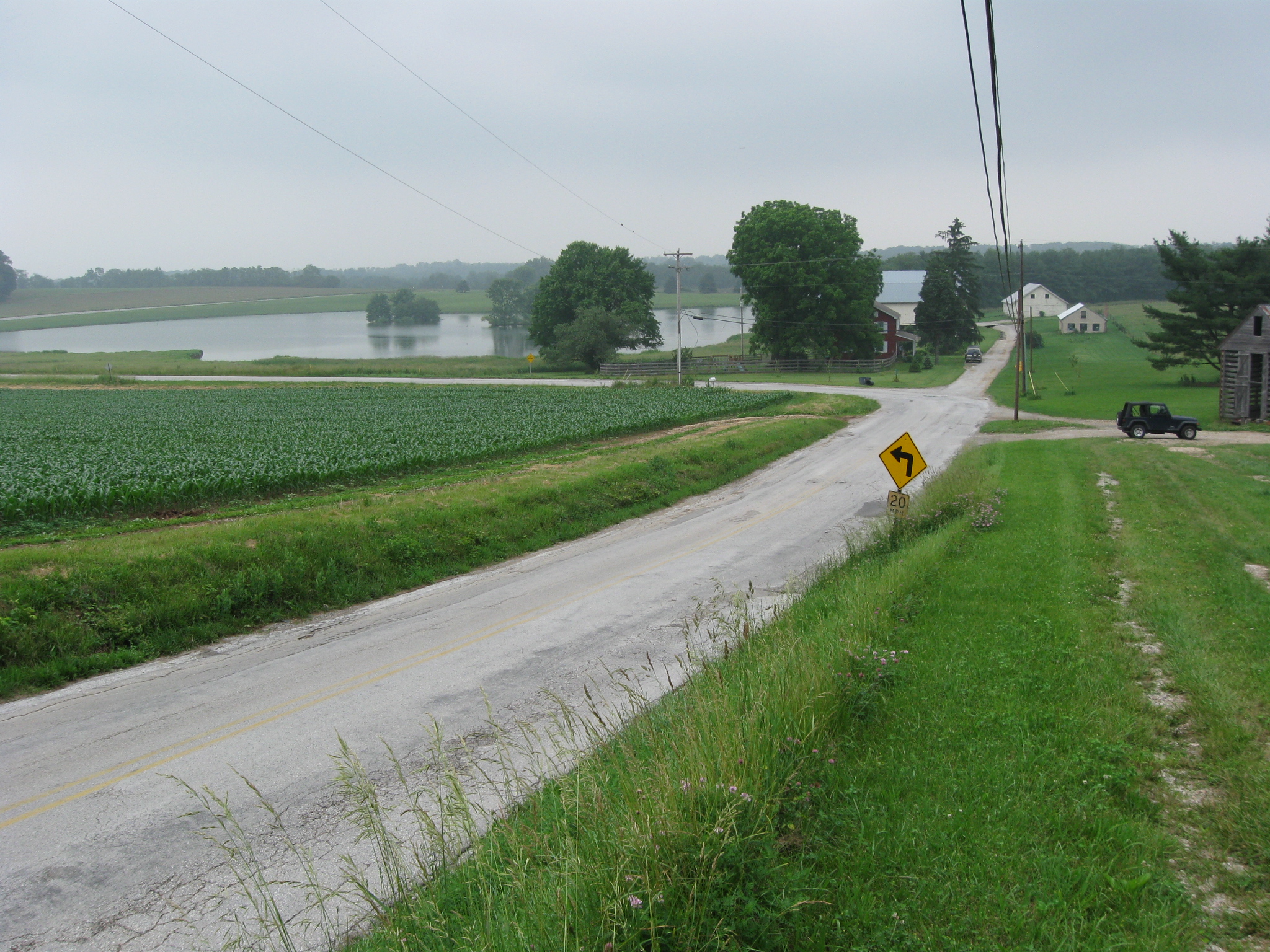
As we approach Long Arm Creek Reservoir on the Old Hanover Road, the road deviates from its historic trace. The “historic” road ran straight ahead towards the farm buildings. The modern road takes a left around the reservoir. This view was taken facing northeast at approximately 3:30 PM on Thursday, June 11, 2009.
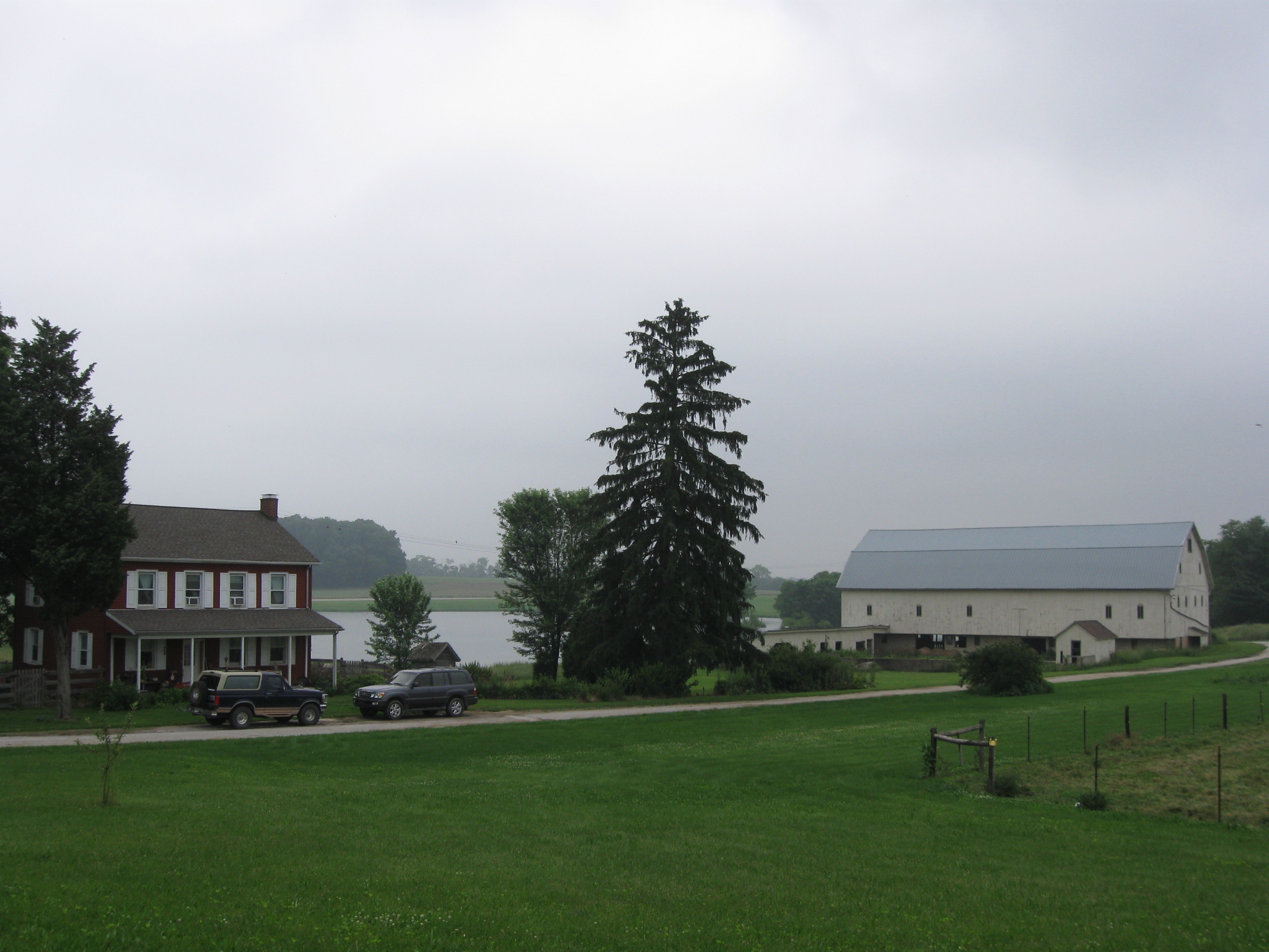
The Old Hanover-Westminster Road ran in front of (east of) this farm owned in 1863 by Josiah Gitt. This view was taken facing northwest at approximately 3:30 PM on Thursday, June 11, 2009.
We are in front of the Josiah Gitt House looking back to Westiminster, Maryland on the Hanover-Westminster Road. The modern road turns off to the right. This view was taken facing southwest at approximately 3:30 PM on Thursday, June 11, 2009.
In Video #8 Gettysburg Licensed Battlefield Guide John Krepps shows us the route of the original Hanover-Westminster road. This view was taken facing west to northwest at approximately 3:30 PM on Thursday, June 11, 2009.

At the time of the battle, Josiah Gitt was renting the farm to Edmund Lippy. This view was taken facing west at approximately 3:30 PM on Thursday, June 11, 2009.
In Video #9 Licensed Battlefield Guide John Krepps discusses the damage claim filed by Josiah Gitt and Edmund Lippy after both armies took items from this farm. This view was taken facing northwest at approximately 3:30 PM on Thursday, June 11, 2009.

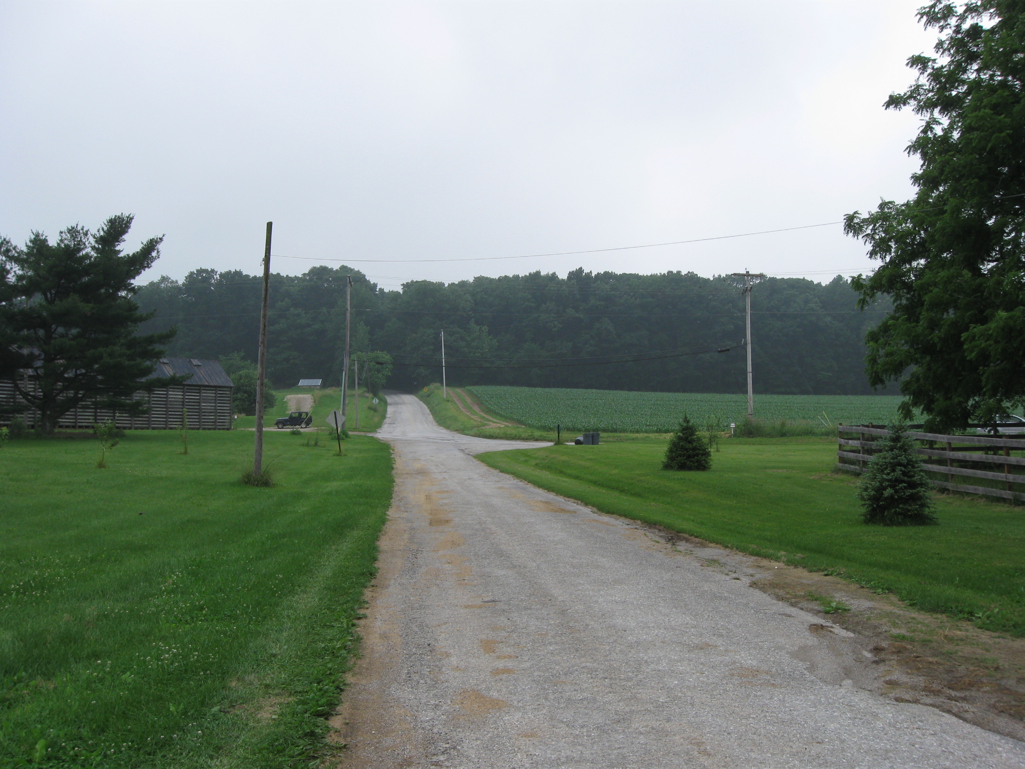
Before the reservoir and the necessary rerouting around it was created, the Hanover-Westminster Road went in the direction John Krepps is pointing. The old road ran along the route now marked by the utility lines and poles. This view was taken facing north at approximately 3:30 PM on Thursday, June 11, 2009.