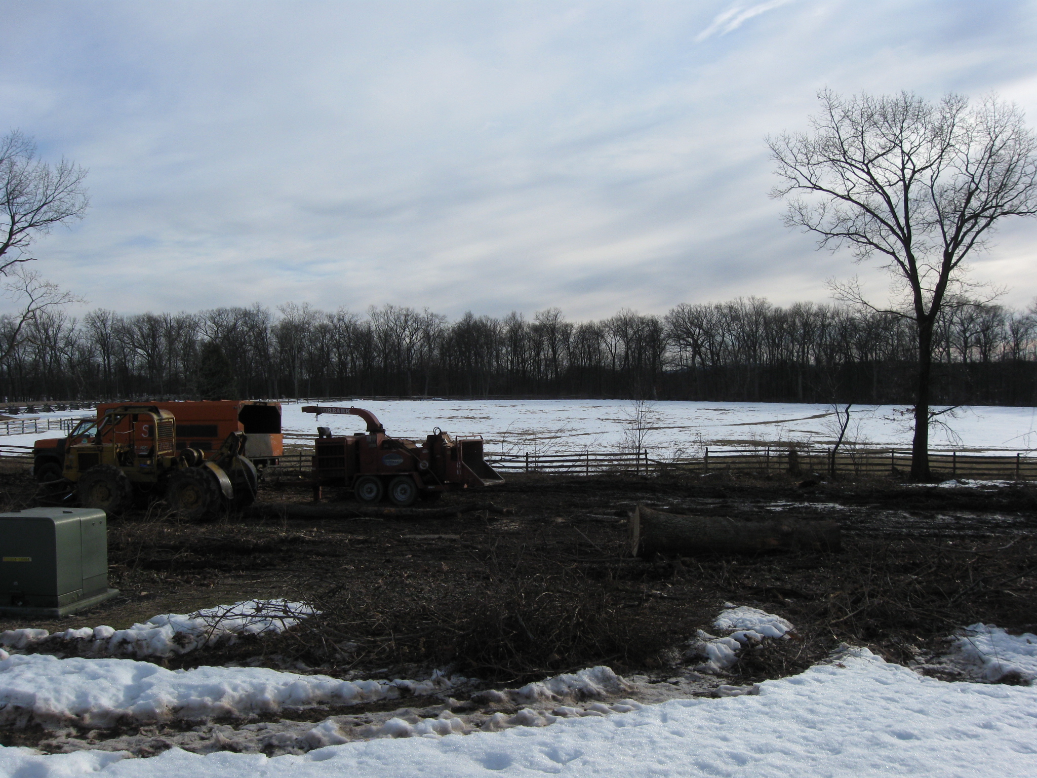
Progress continues on the tree removal around the West End Guide Station on the west arm of McPherson’s Ridge. The equestrian statue to Major General John F. Reynolds is in the right background. We are standing near McPherson’s Woods and the monument to the 7th Wisconsin Infantry Regiment. This view was taken facing northeast at approximately 4:30 PM on Thursday, March 4, 2010.
The National Park Service contractor continued removing the trees to the south of the West End Guide Station yesterday (March 4, 2010). The trees, which were not here at the time of the Battle of Gettysburg, cover an approximately half acre. Significant progress occurred on Thursday as the sun came out and the temperature was over 40 degrees.
See the following related posts:
West End Guide Station Tree Cutting Scheduled to Begin Today on March 1, 2010.
West End Guide Station Tree Cutting Day 1 on March 2, 2010.
West End Guide Station Tree Cutting Day 2 on March 3, 2010.
West End Guide Station Tree Cutting Day 3 on March 4, 2010.
We’ll start today’s before and after pictures right away. We are in the area of the 7th Wisconsin Monument at the edge of McPherson’s Woods. Here’s how the West End Guide Station area looked the day before the cutting began. This view was taken facing northeast at approximately 8:45 AM on Sunday, February 28, 2010.
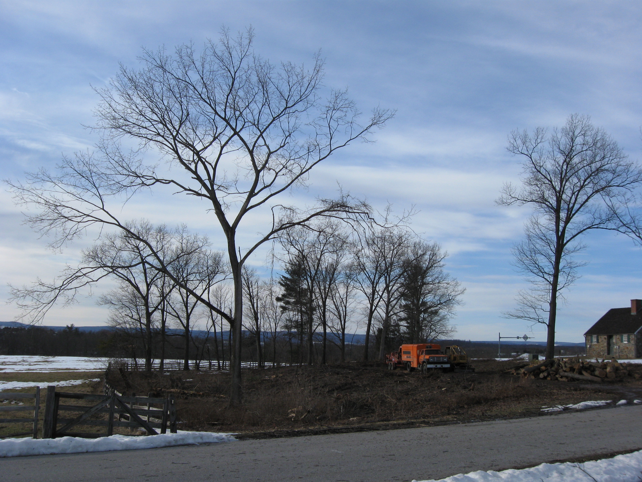
Here’s how it looked after the second day of tree cutting. This view was taken facing northeast at approximately 4:45 PM on Wednesday, March 2, 2010.
Here’s how it looked after the third day of tree cutting. This view was taken facing northeast at approximately 4:45 PM on Wednesday, March 3, 2010.
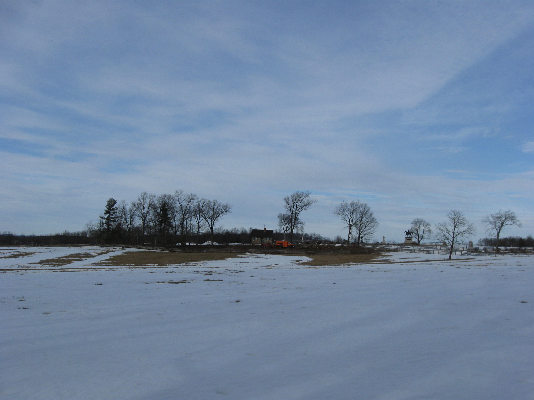
Here’s how it looked after the fourth day of tree cutting (Thursday). This view was taken facing northeast at approximately 4:30 PM on Thursday, March 4, 2010.
We’re walking from the 7th Wisconsin monument along Stone Avenue towards the Chambersburg Pike. This view was taken facing north at approximately 4:30 PM on Thursday, March 4, 2010.
The monument to the 150th Pennsylvania Infantry is in the foreground. This view was taken facing northwest at approximately 4:30 PM on Thursday, March 4, 2010.
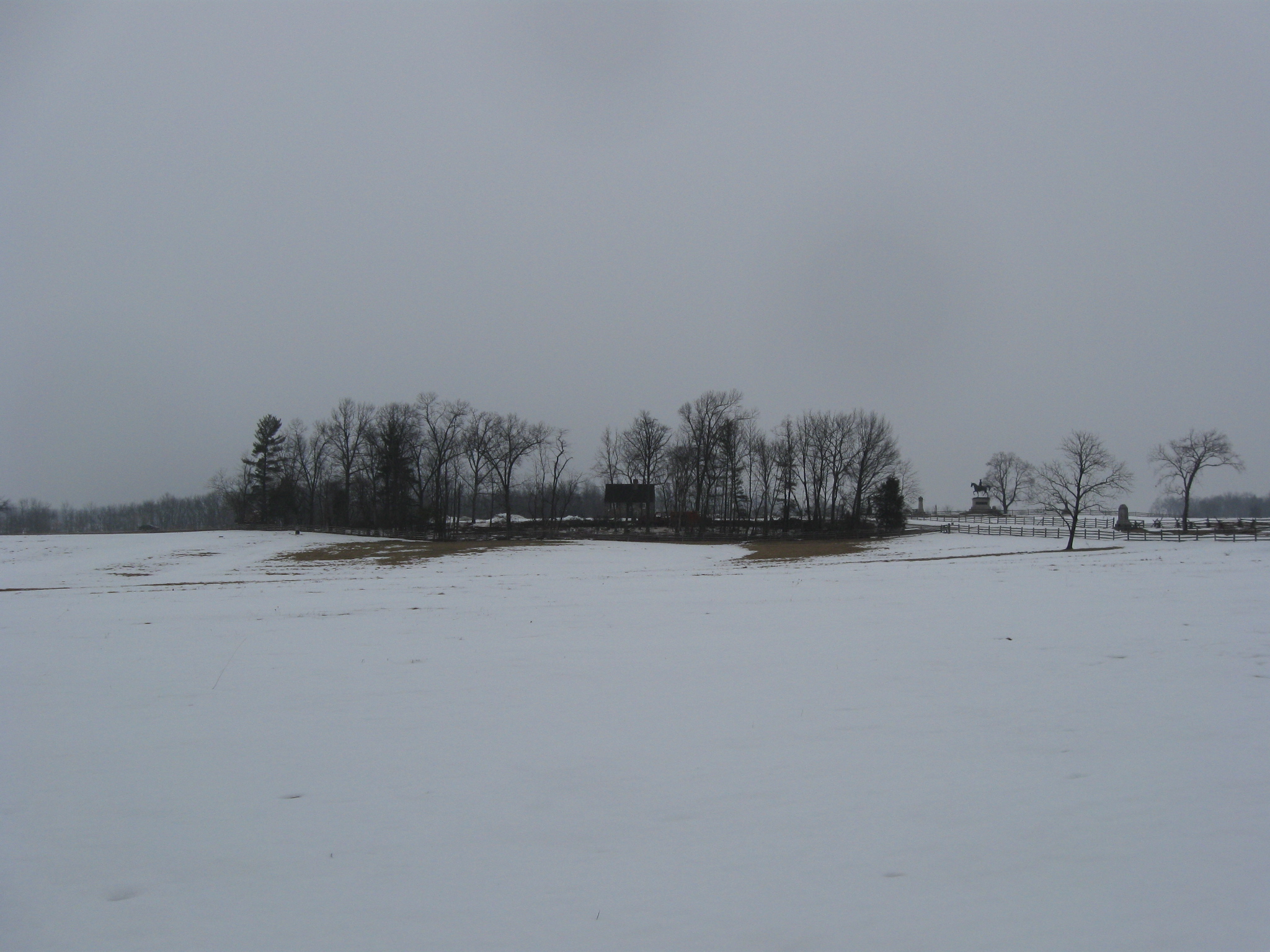
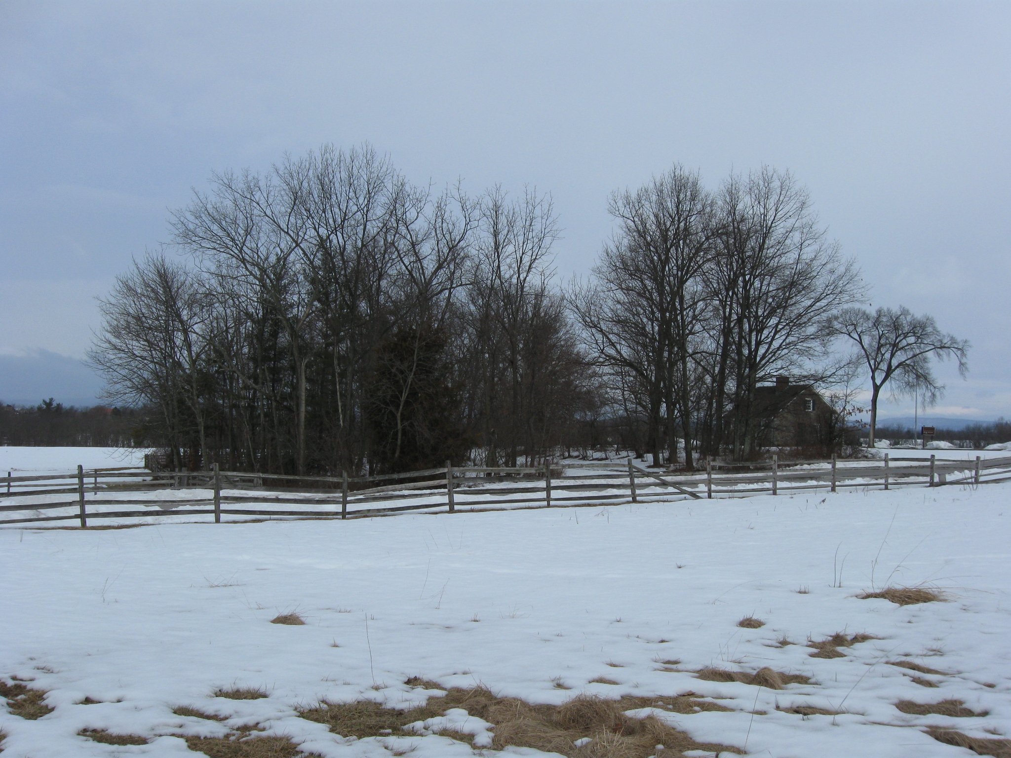
It’s time for our other set of before and after pictures. This picture was taken the day before the trees were cut. This view was taken facing northwest at approximately 8:45 AM on Sunday, February 28, 2010.
Here’s a similar view after the first day of cutting. This view was taken facing northwest at approximately 4:30 PM on Monday, March 1, 2010.
.And again the same view after the second day of cutting. This view was taken facing northwest at approximately 4:45 PM on Wednesday, March 2, 2010.
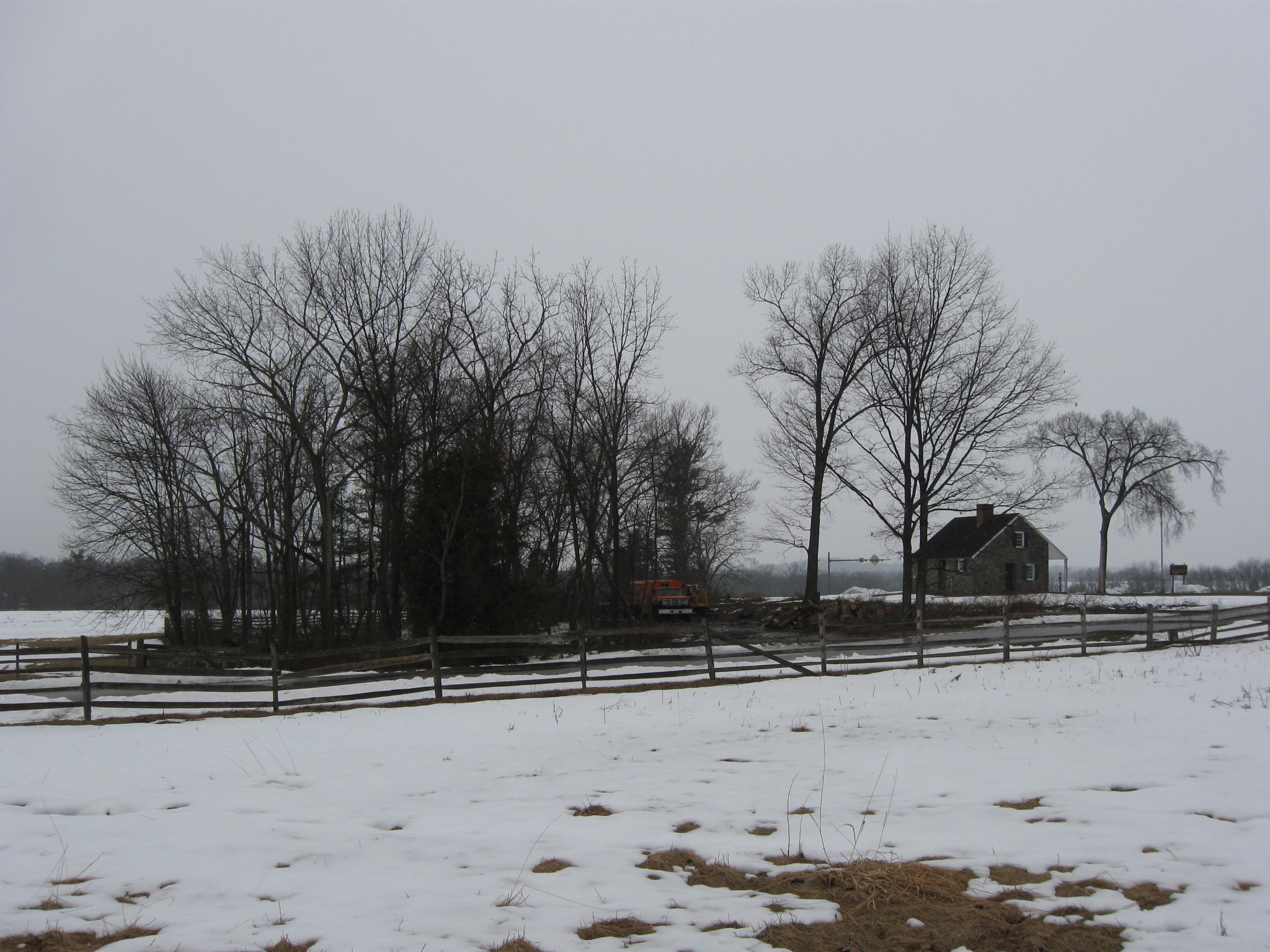
Here’s the same view after the third day of tree removal. This view was taken facing northwest at approximately 4:45 PM on Wednesday, March 3, 2010.
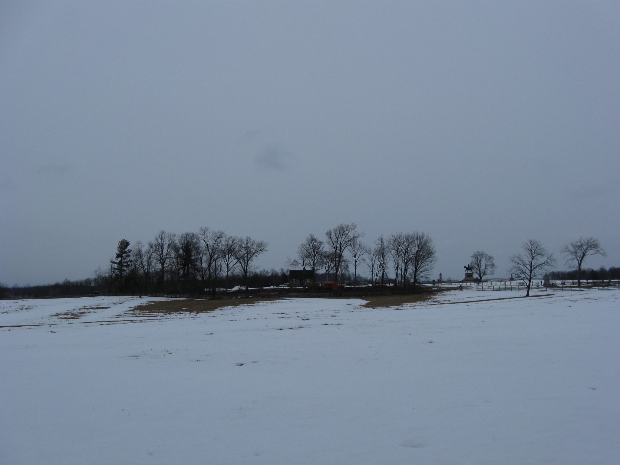
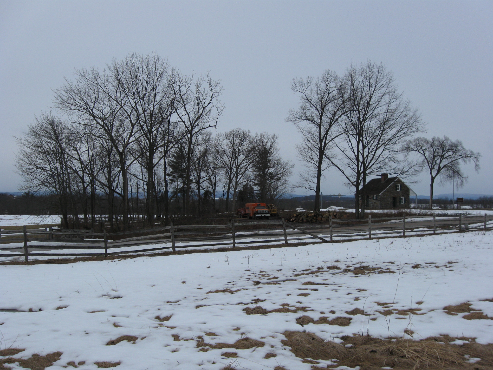
The same view after the fourth day of tree cutting. This view was taken facing northwest at approximately 4:30 PM on Thursday, March 4, 2010.
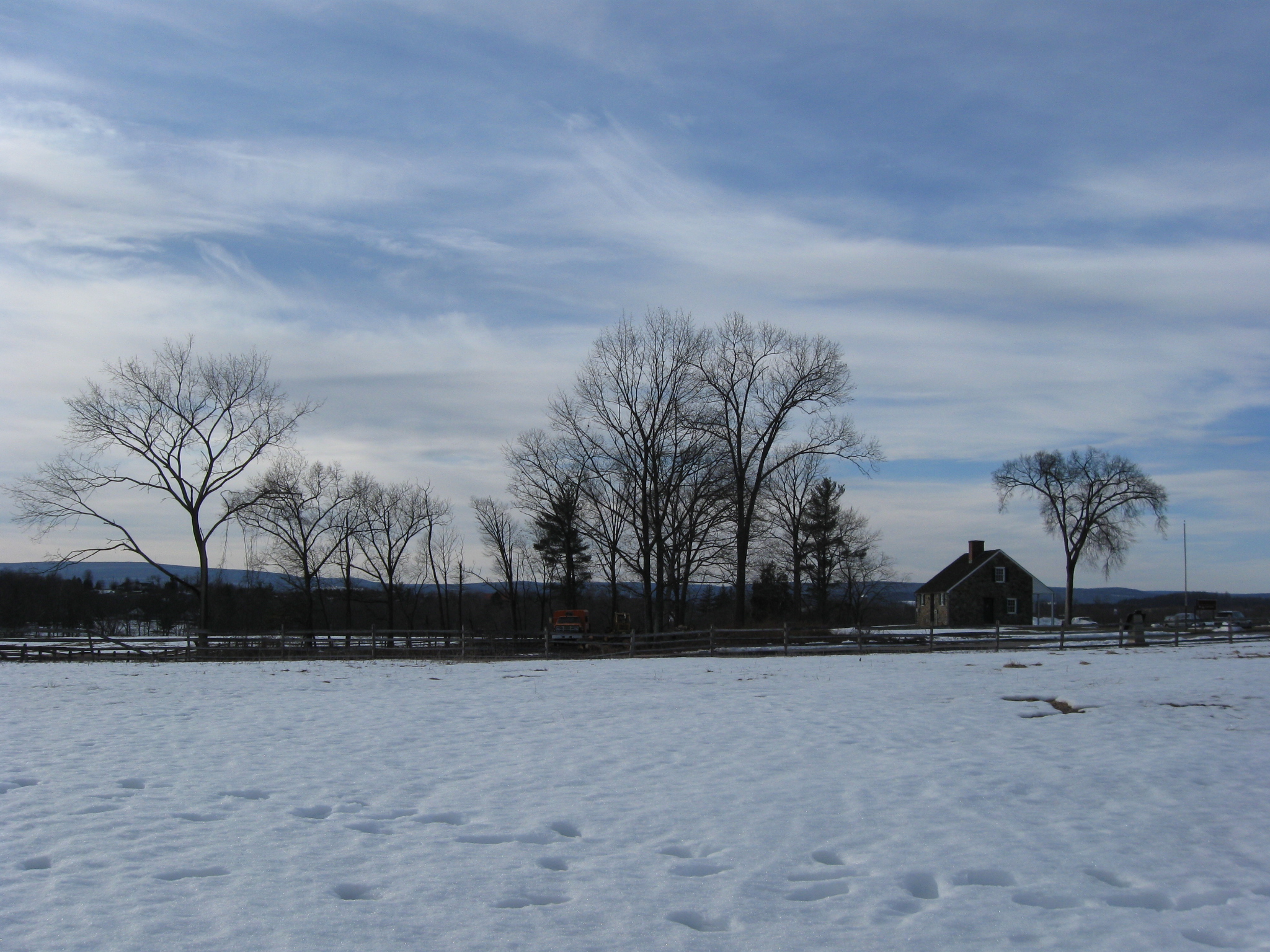
We’ve moved farther to the north. The McPherson Barn is directly behind us. This view was taken facing northwest at approximately 4:30 PM on Thursday, March 4, 2010.
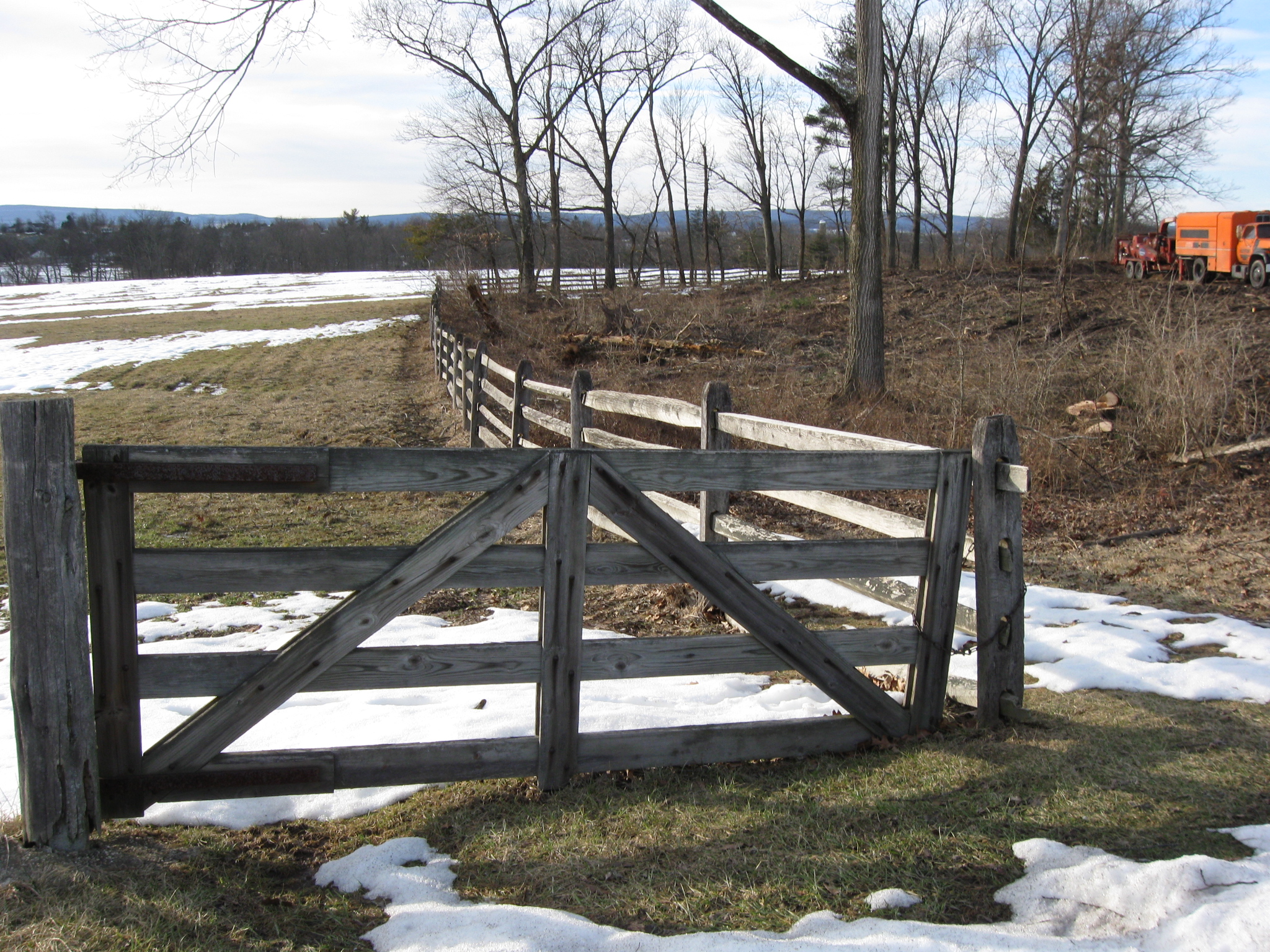
Most of the trees that have been removed are closer to Stone Avenue (foreground)… This view was taken facing northwest at approximately 4:30 PM on Thursday, March 4, 2010.
… and along this fence. This view was taken facing northwest at approximately 4:30 PM on Thursday, March 4, 2010.
.It’s a fairly wide area. This view was taken facing northwest at approximately 4:30 PM on Thursday, March 4, 2010.
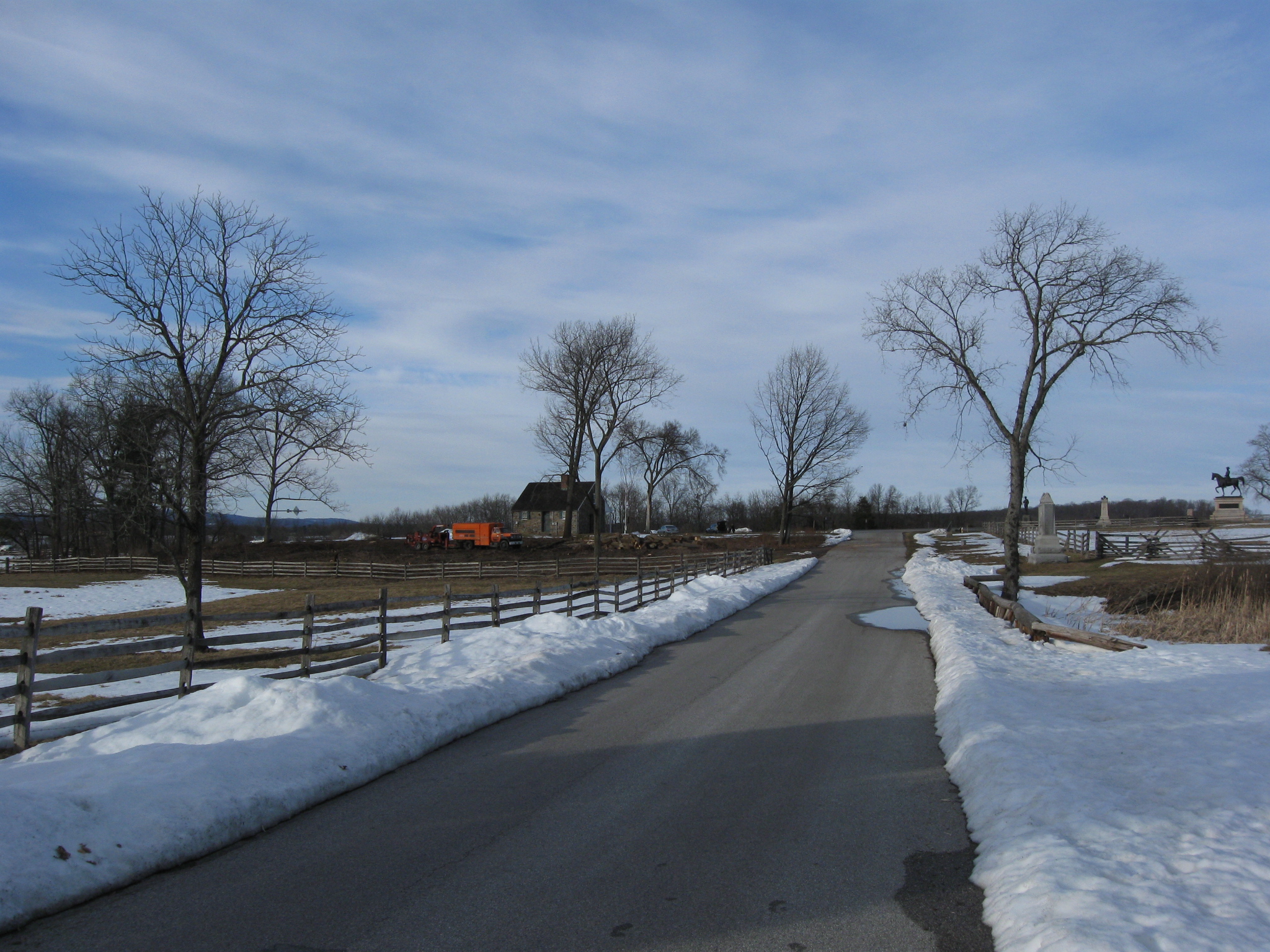
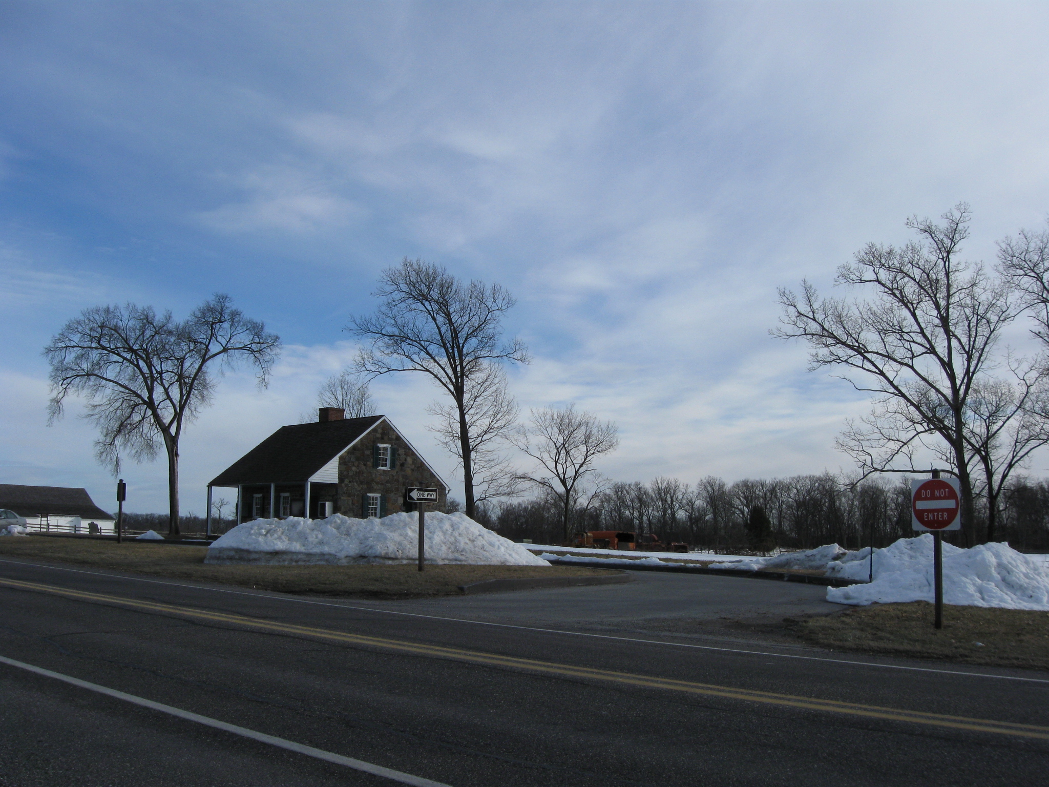
Here’s the current view after you turn of the Chambersburg Pike onto Stone Avenue. This view was taken facing southwest at approximately 4:30 PM on Thursday, March 4, 2010.
This view was taken facing southwest at approximately 4:30 PM on Thursday, March 4, 2010.
This view was taken facing southeast at approximately 4:30 PM on Thursday, March 4, 2010.
The McPherson Barn is in the left background. This view was taken facing southeast at approximately 4:30 PM on Thursday, March 4, 2010.
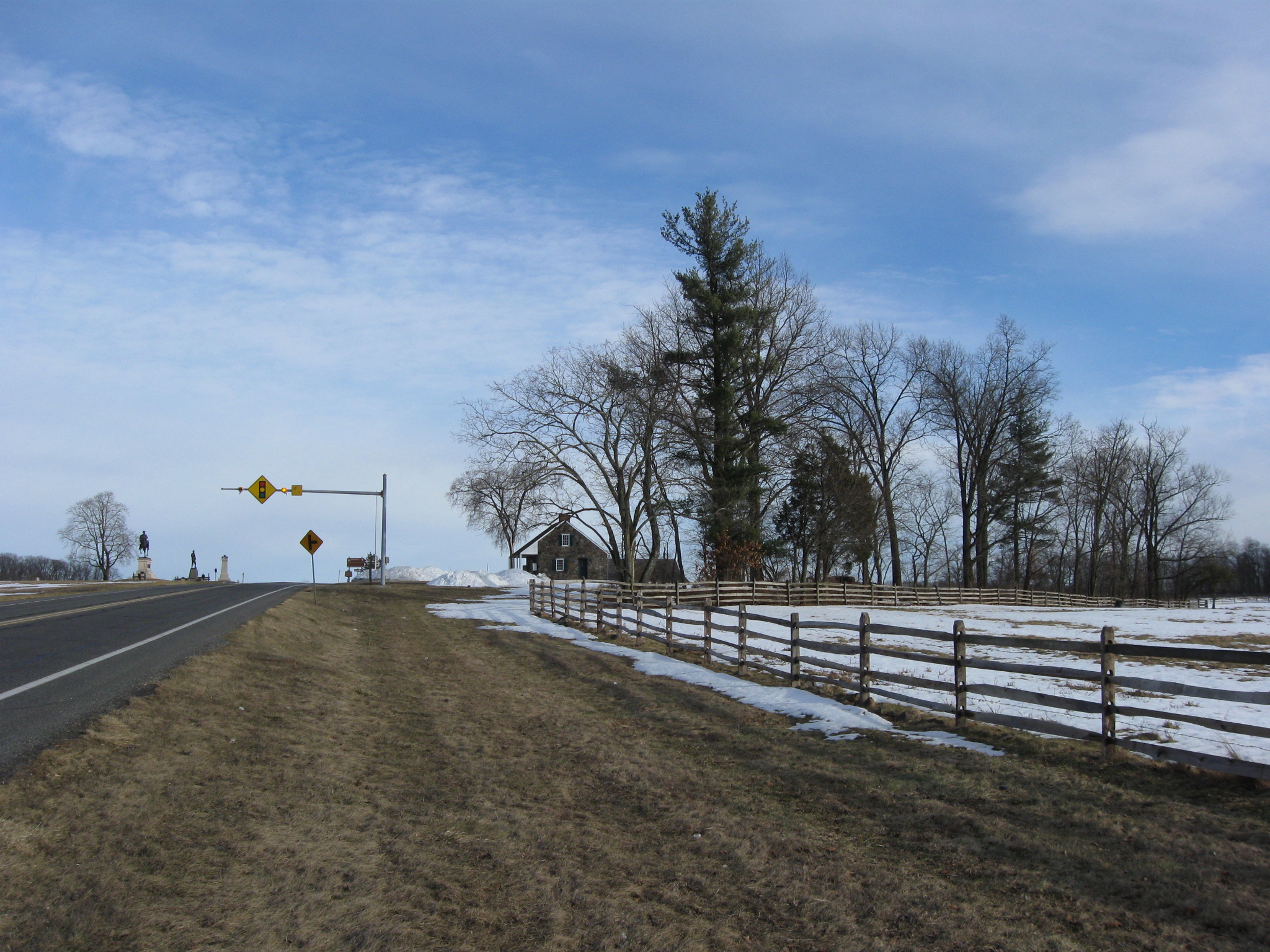
The statues to John Reynolds and John Buford are in the left background. This view was taken facing southeast at approximately 4:30 PM on Thursday, March 4, 2010.
It appears that the trees closest to the camera will be the last to go. This view was taken facing southeast at approximately 4:30 PM on Thursday, March 4, 2010.
A view from behind (south of) the West End Guide Station looking towards McPherson’s Woods. This view was taken facing southwest at approximately 4:30 PM on Thursday, March 4, 2010.
See the following related posts:
Tree Cutting Between the Baltimore Pike and Spangler’s Spring on March 11, 2009.
James McAllister Farm Tree Cutting Update on April 16, 2009.
Culp’s Hill Tree Cutting Part 1: Spangler’s Lane on September 27, 2009.
Culp’s Hill Tree Cutting Part 2: The Ravine on September 28, 2009.
Culp’s Hill Tree Cutting: Northeast Slope of Culp’s Hill on November 17, 2009.
Spangler’s Spring Tree Cutting (Lack of Tree Cutting) Update on November 21, 2009.
Power Lines, Ground Disturbance, and the Inadequate Devil’s Den Restroom on September 5, 2009.
Devil’s Den Restroom, The Final Months on February 4, 2010.
West End Guide Station Tree Cutting Scheduled to Begin Today on March 1, 2010.
West End Guide Station Tree Cutting Day 1 on March 2, 2010.
West End Guide Station Tree Cutting Day 2 on March 3, 2010.
West End Guide Station Tree Cutting Day 3 on March 4, 2010.